AZ 88
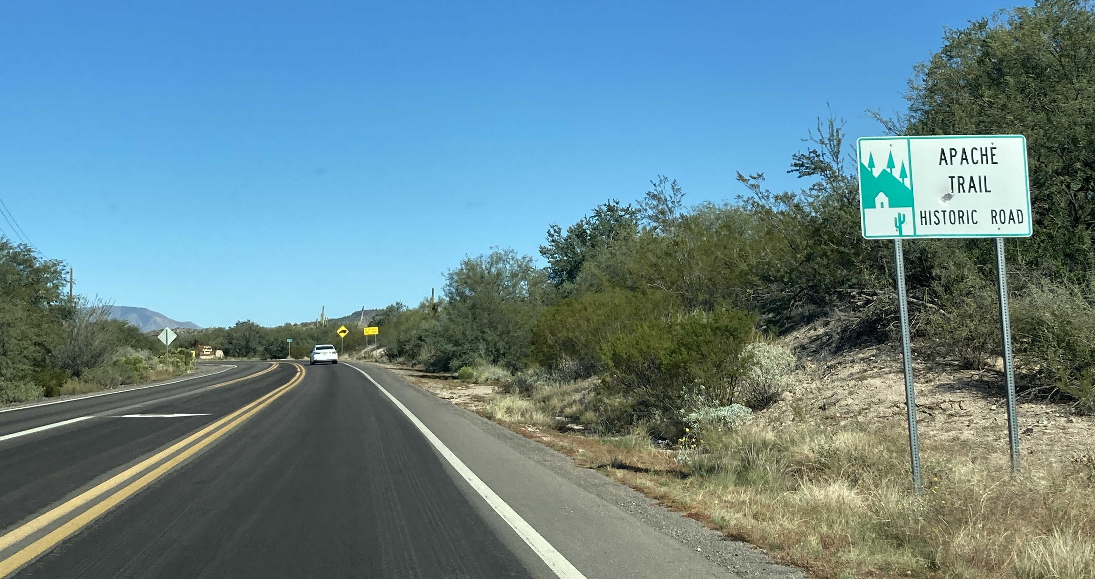
State Route 88 follows the length of the historic Apache Trail for most of its route. SR 88 begins in Apache Junction at US 60, then heads northeast to the Salt River, which it then follows alongside of and will eventually reach Roosevelt Lake at SR 188. SR 88 is paved from Apache Junction to the town of Tortilla Flat. From there it is a dirt trail until it nears the Theodore Roosevelt Dam where it becomes paved again until its end.
Cool Features
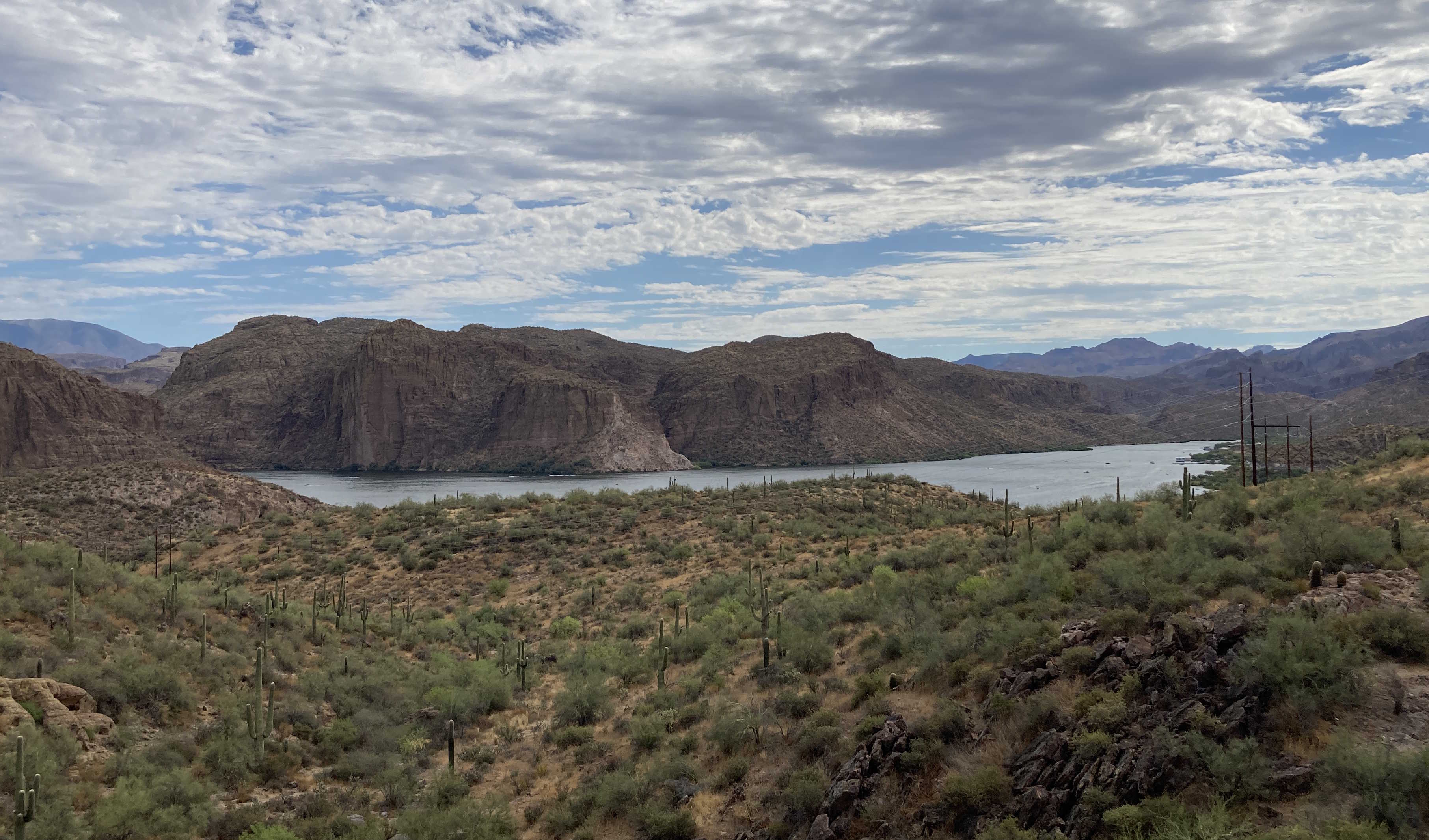
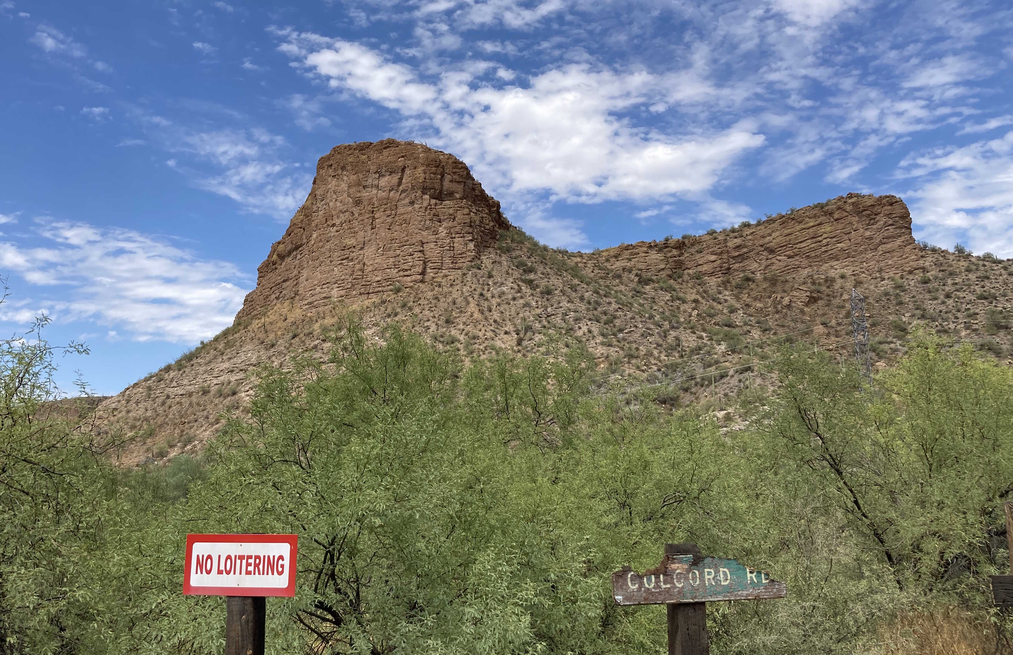
SR 88 is a very scenic route along the historic Apache Trail.
SR 88 used to go all the way back to US 60 in Globe, but ADOT does not like having two routes that serve the same destinations, thus SR 188 was given the remainder of the route.
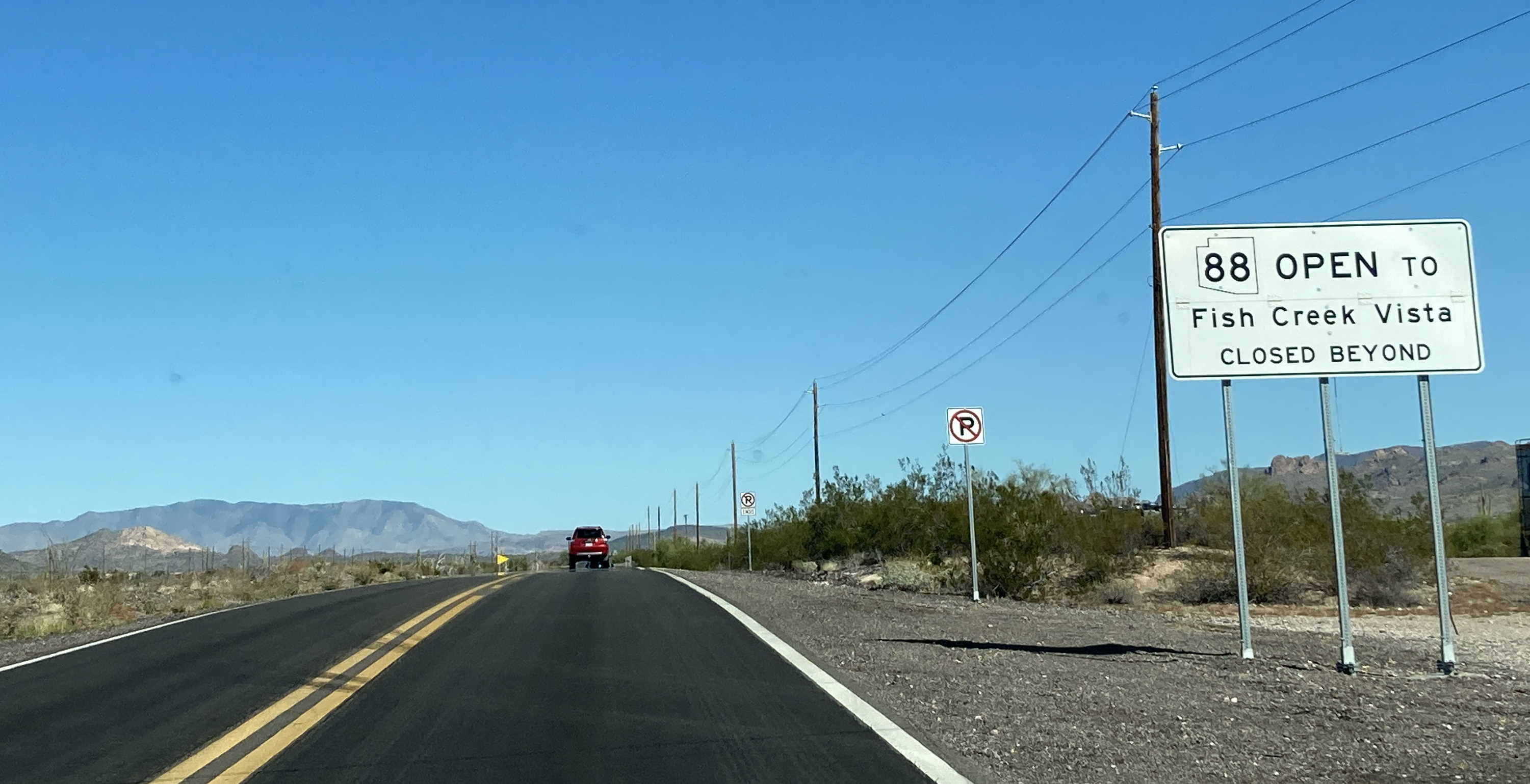
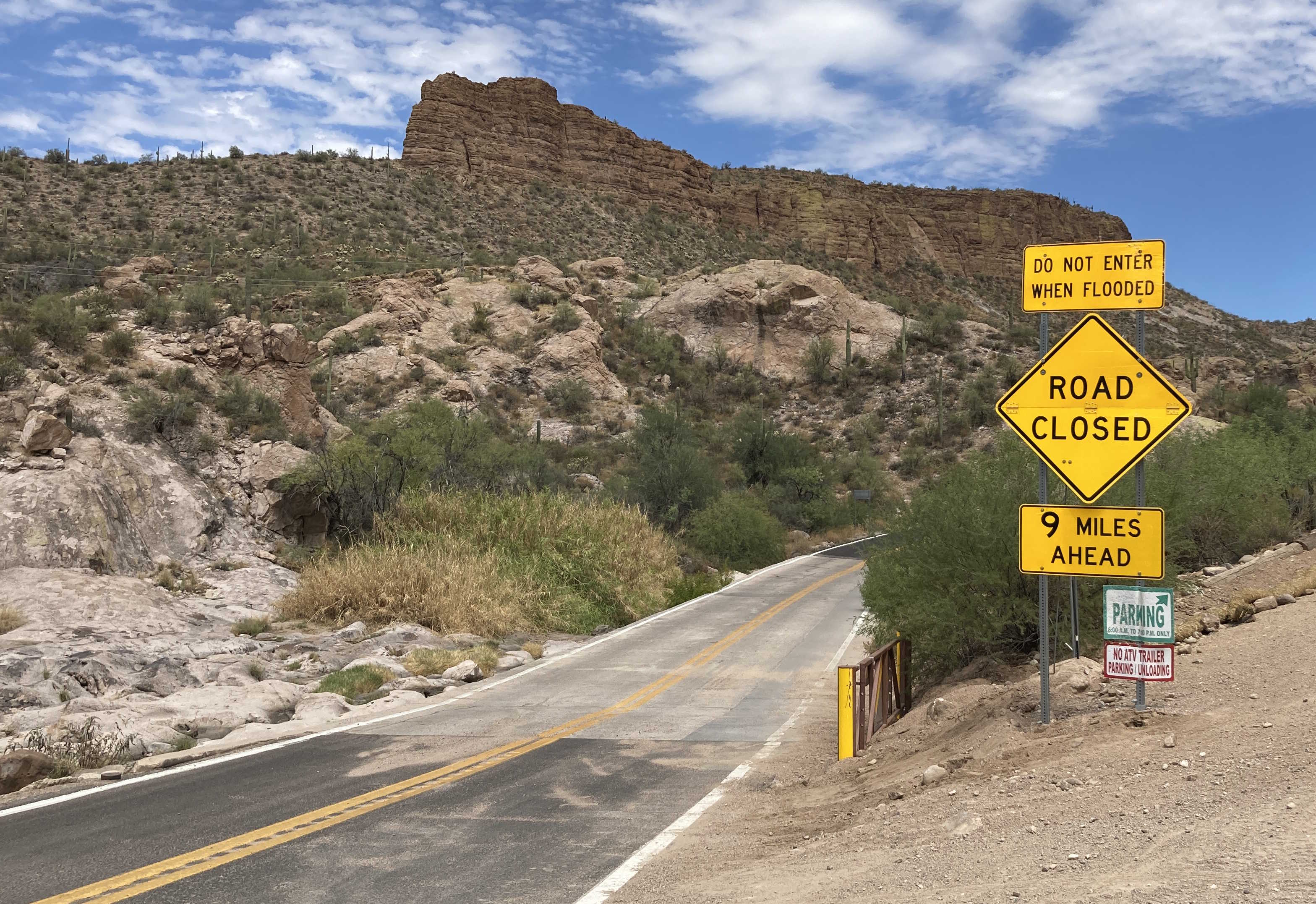
SR 88 was closed indefinitely between miles 222 and 229 due to damage from the Woodbury Fire in 2019. ADOT progressively reopened sections of the affected areas and the entire route is now open again as of September 2024, though the area between Fish Creek Vista and mile 227 is currently restricted to vehicles with 4WD or high clearance.
Pictures
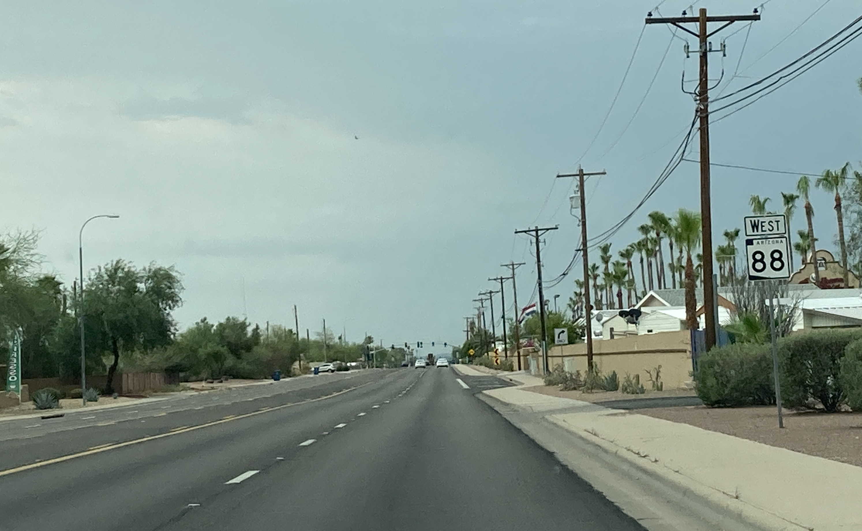
7/16/2021 - SR 88 West (Idaho Rd), south of Broadway Ave - Apache Junction
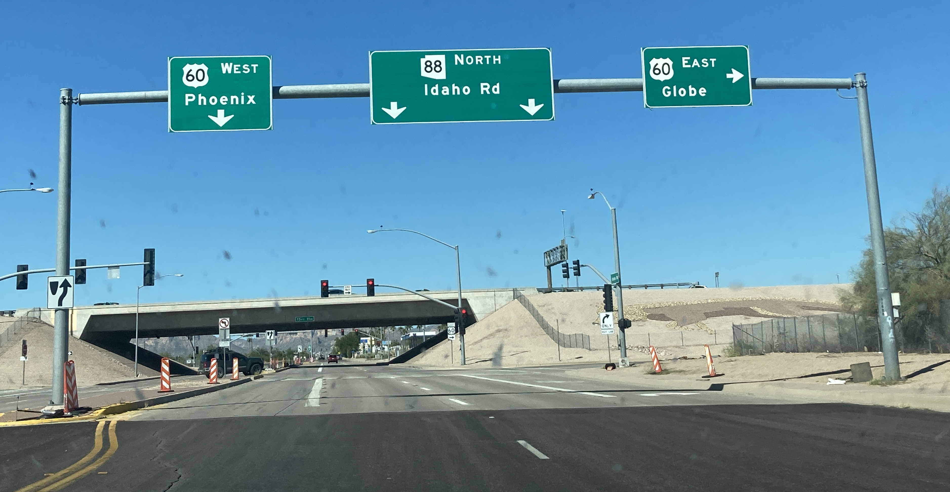
10/10/2021 - Beginning of SR 88 East (Idaho Rd) @ US 60 - Apache Junction
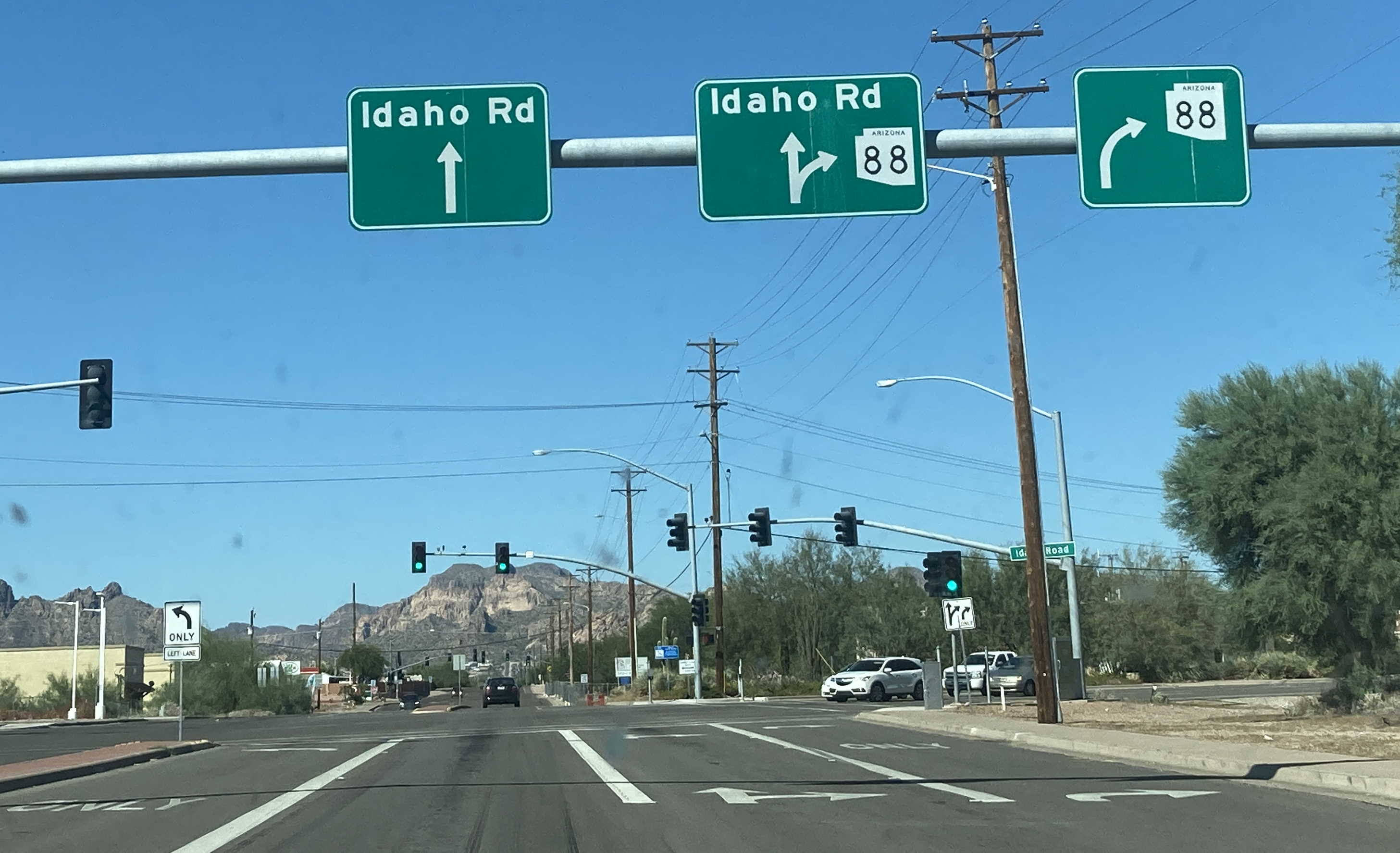
10/10/2021 - SR 88 East (Idaho Rd) @ Apache Trail - Apache Junction
11/12/2022 - SR 88 East @ Lost Dutchman Blvd - Apache Junction
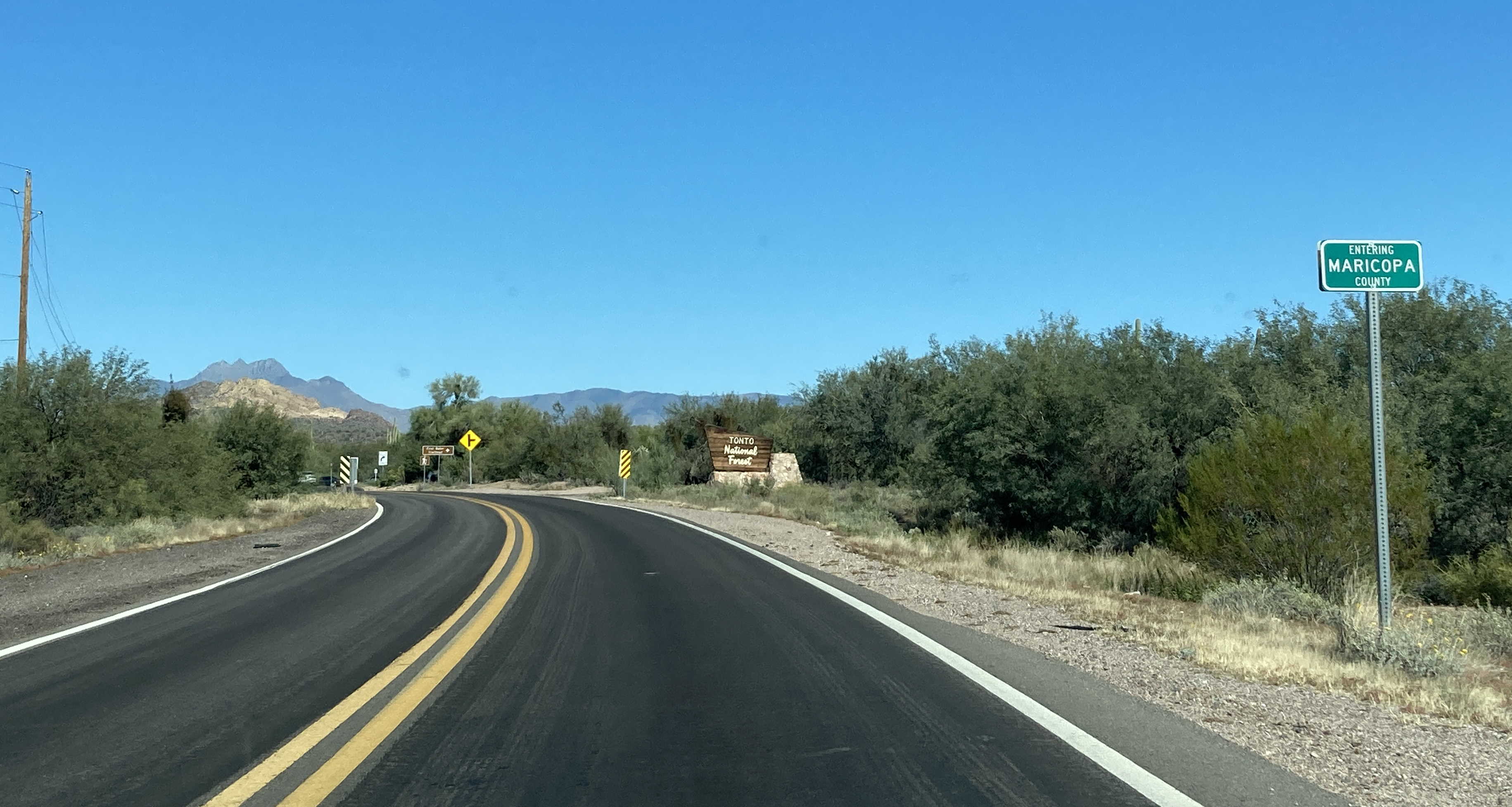
11/12/2022 - SR 88 East @ Maricopa/Pinal county line
8/26/2023 - SR 88 East @ Tortilla Flat
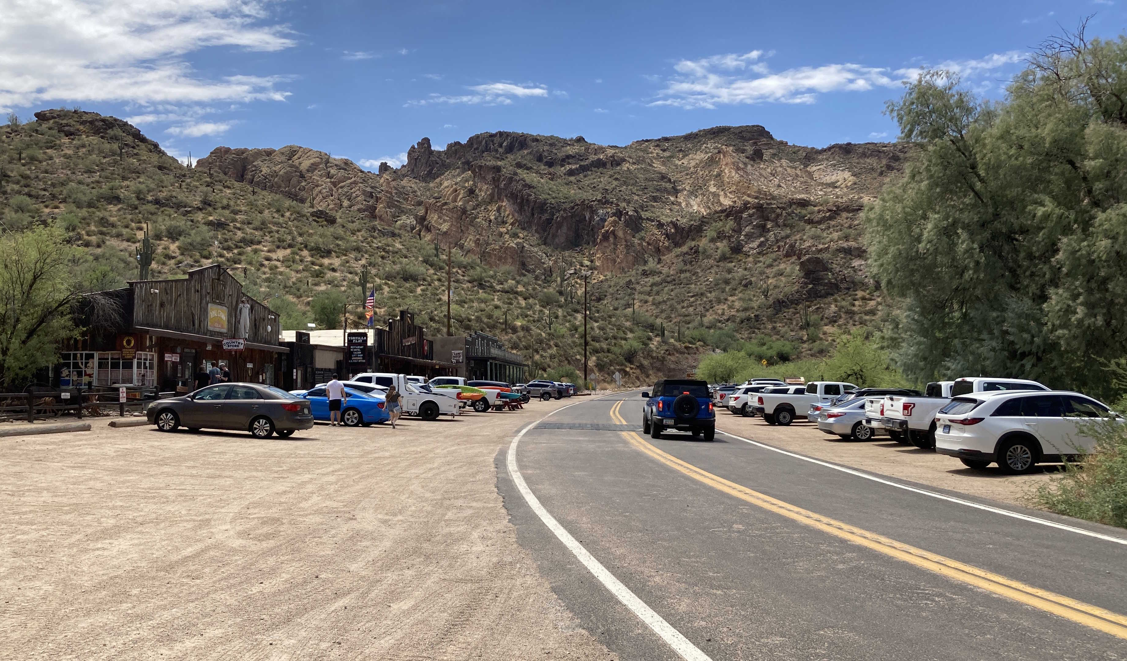
8/26/2023 - SR 88 West @ Tortilla Flat
Page last updated: 6/22/2025