Arizona Scenic Roads
There are 27 designated scenic roads in Arizona. This page is a list with details of all of them, along with pictures, if I have any, of the road. This page was inspired by the one on the ADOT website. You can visit the ADOT page on Arizona Scenic Roads to learn more.
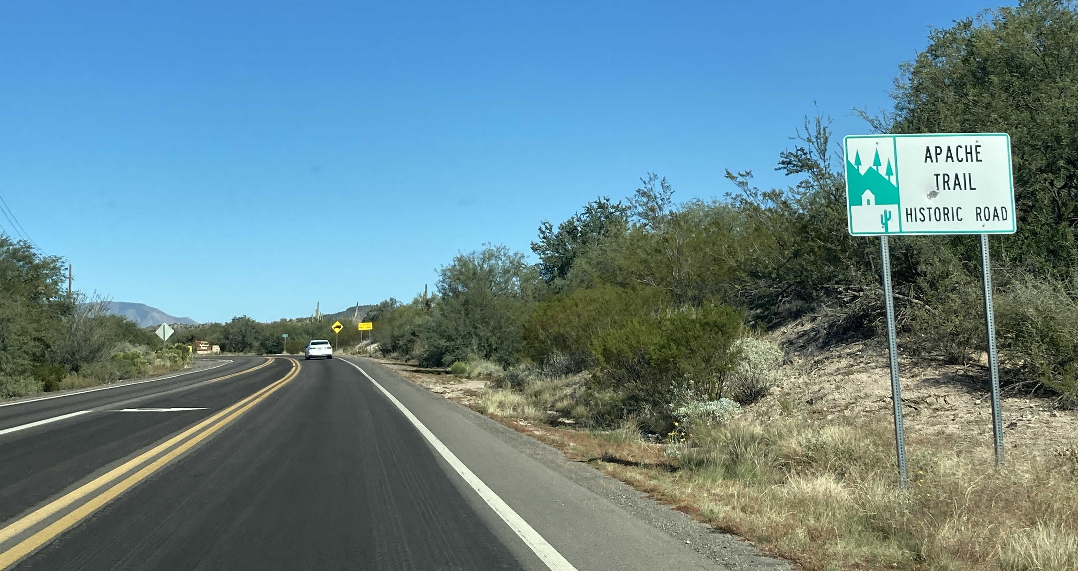
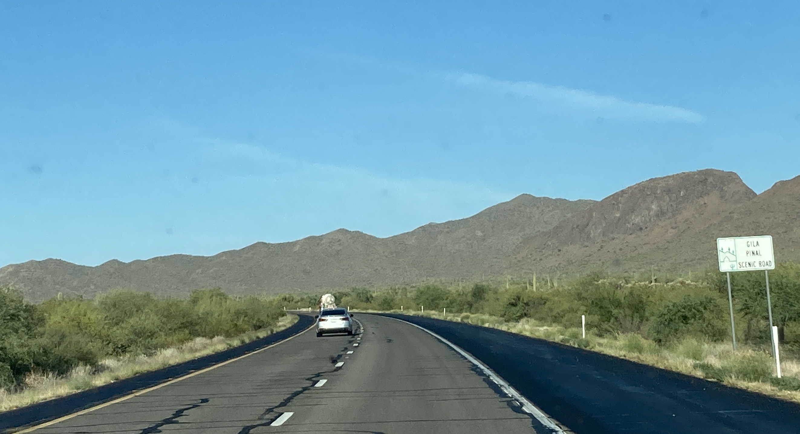
Length: 41 miles
Begins: SR 88 @ Mile 201 in Apache Junction
Ends: SR 88 @ SR 188 at the Roosevelt Dam
The Apache Trail Historic Road started off as a wagon road in 1904 to help transport materials for the construction of the Roosevelt Dam. It became State Route 88 on September 9, 1927, as one of the original 10 state highways.
Length: 101 miles
Begins: US 191, north of Mile 173 by Morenci Mine
Ends: US 180/US 191 @ Mile 406, southeast of Eagar
The federally designated Coronado Trail National Scenic Byway runs from Morenci Mine on US 191, through the Apache-Sitgreaves National Forest, past Alpine where US 180 joins US 191, all the way to where it ends, just south of Eagar and Springerville. This route has many scenic views as it passes through the mountains of the area.
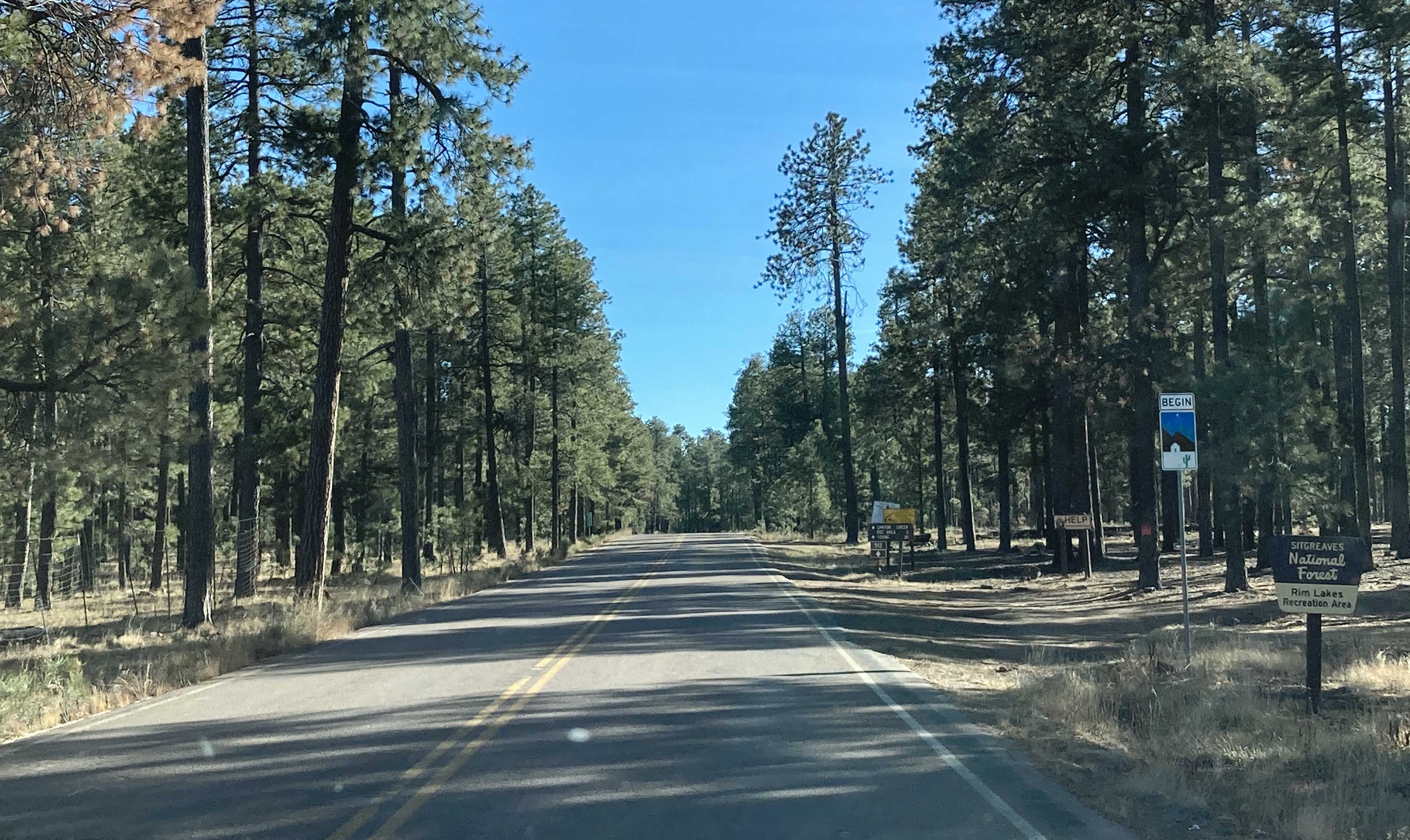
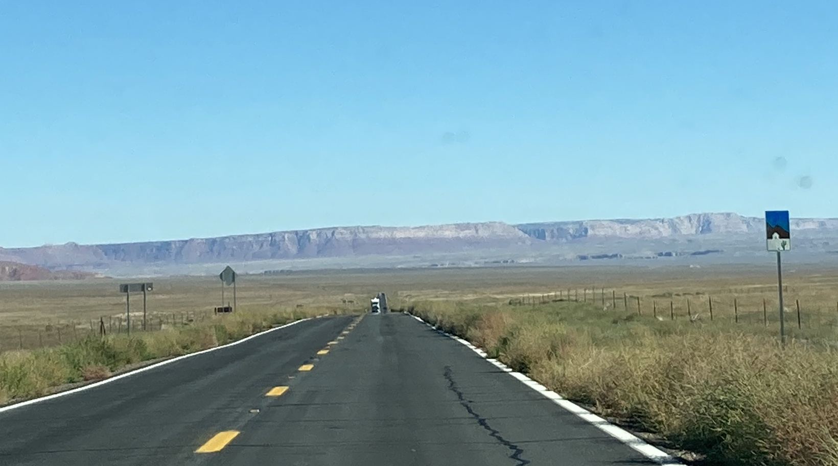
Length: 74 miles
Begins: SR 288 @ SR 188, south of Roosevelt Lake
Ends: Young Rd @ SR 260, northeast of Young
The Desert to Tall Pines Scenic Road is pretty self explanatory. Beginning in the desert at SR 188, the route is designated along the entirety of SR 288, through Young and past the end of SR 288 as Gila County Route 512 (Young Road), which eventually becomes Forest Service Road 512 until its end at SR 260, surrounded by tall pines.
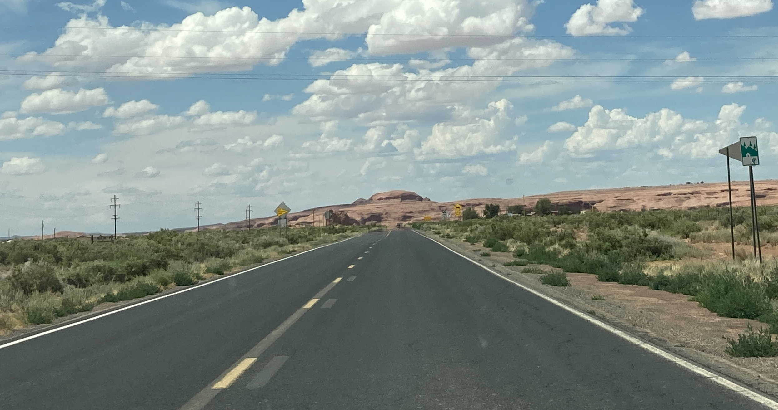
Length: 100 miles
Begins: Navajo Route 12 @ I-40, southwest of Lupton
Ends: Navajo Route 7 @ US 191 in Chinle
The Diné Tah Scenic Road starts in the southern part of the Navajo Nation with Route 12 and I-40. The route passes through Window Rock, following Navajo Route 12 all the way to the New Mexico state line. The scenic route splits here due to Navajo Route 12 entering New Mexico, however a bit further north, Navajo Route 12 re-enters Arizona and continues to Tsaile, where the scenic road turns onto Navajo Route 64 all the way to Navajo Route 7 at Canyon de Chelly National Monument. The scenic road follows Route 7 for a bit until it ends at US 191.
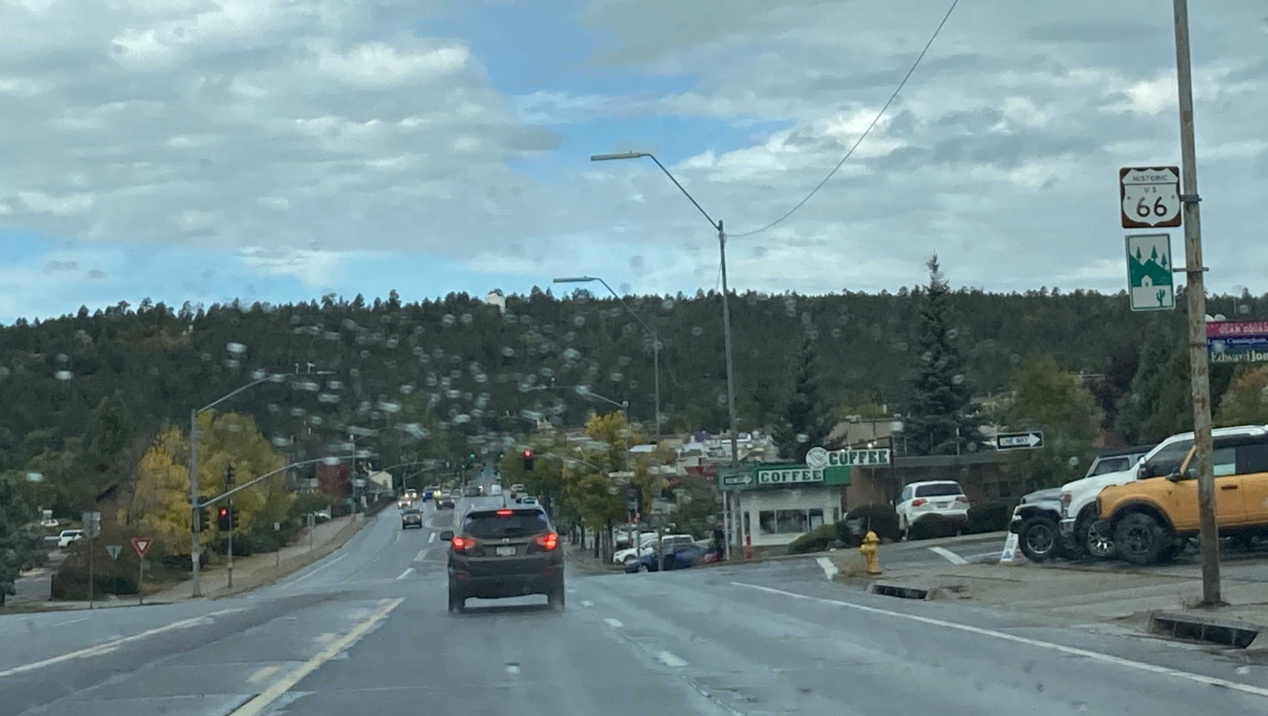
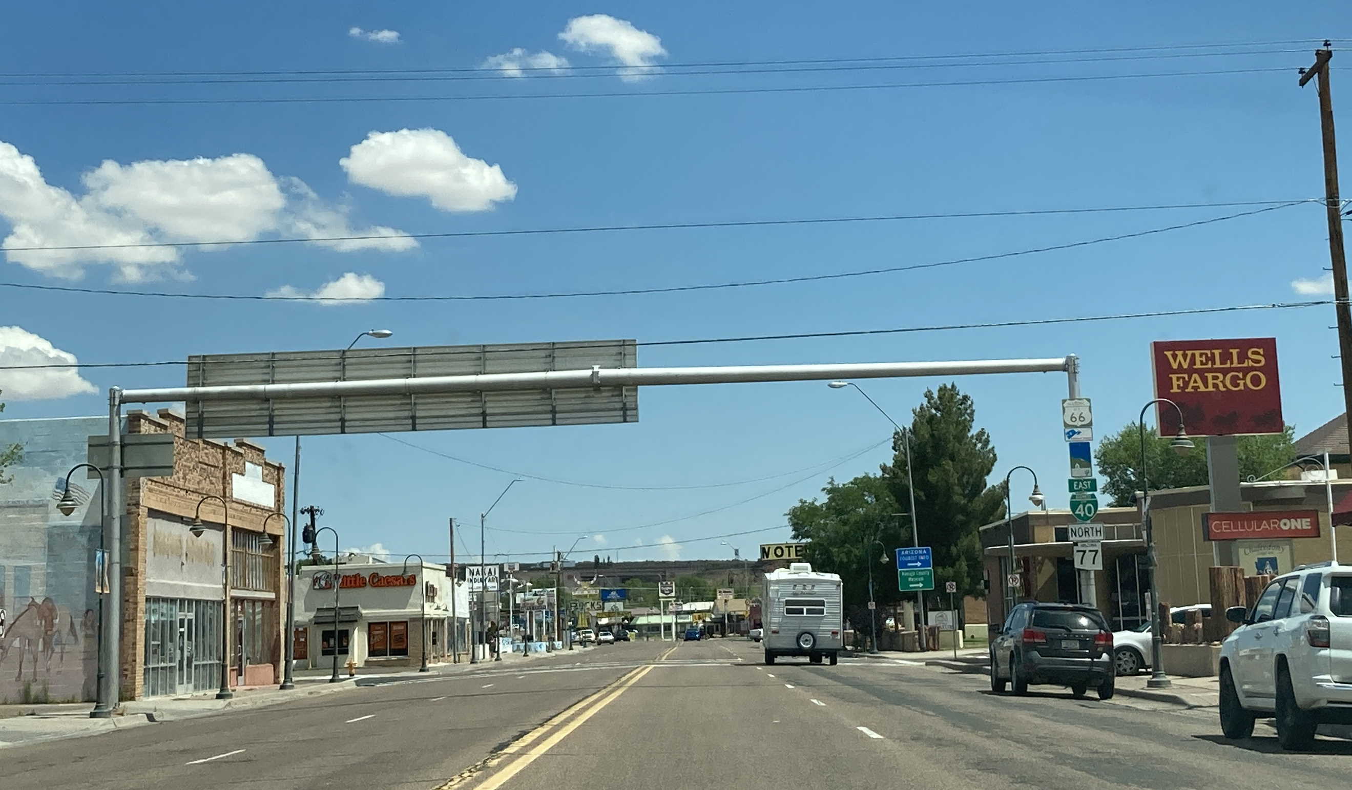
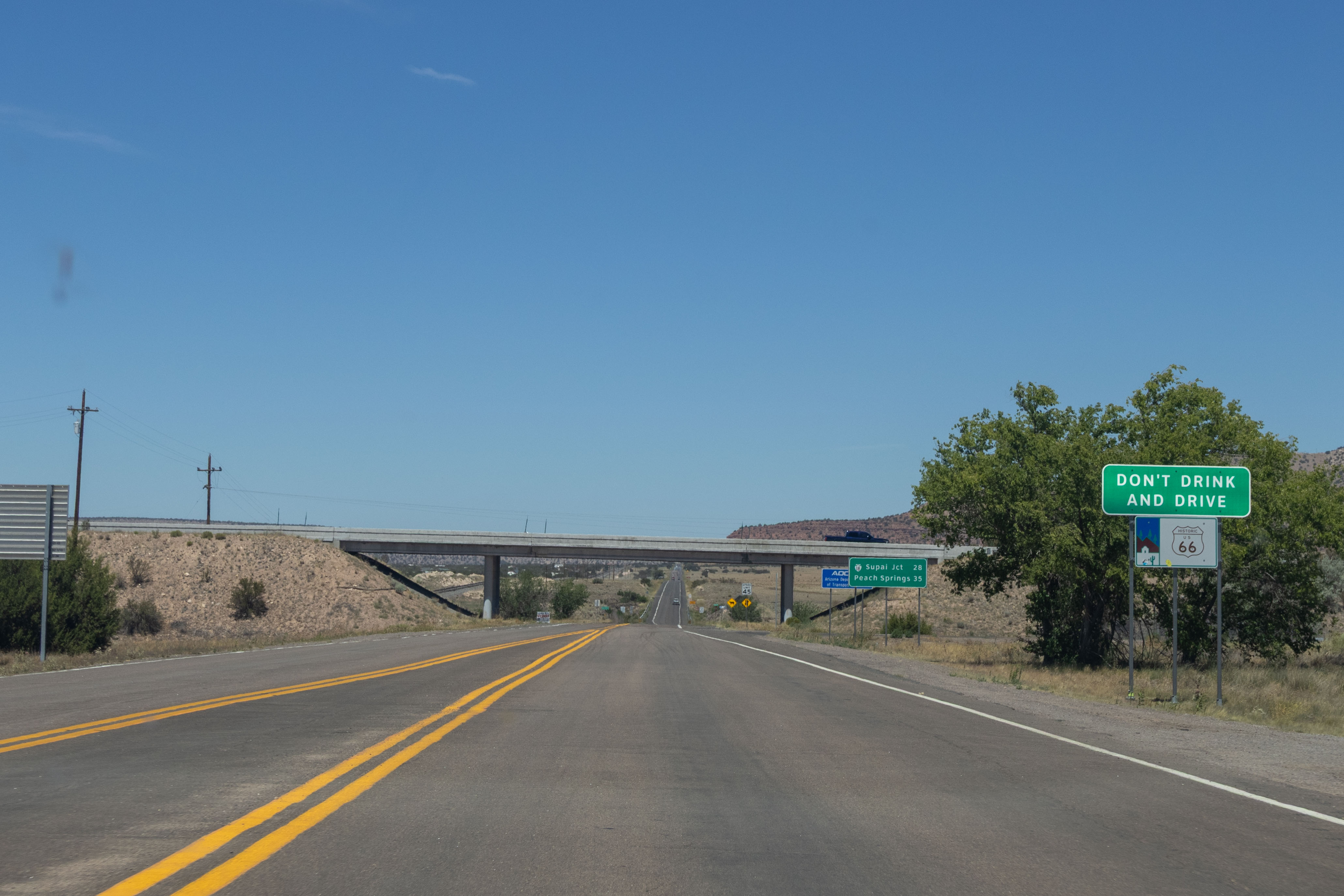
Length: 182 miles
Begins: Mohave County Route 10 (Oatman Hwy) @ I-40 in Topock
Ends: I-40 BL @ I-40 in Holbrook
The portions of Historic US 66 that are still drivable have been designated as an All-American Road, which is one of the federal scenic road designations. The Historic Route 66 designation is split up into several segments since I-40 replaced most of the route. Beginning in the west, the route starts on Oatman Highway at I-40 in Topock. This segment of the route goes through Oatman and connects with I-40 again before entering Kingman and becoming SR 66 after passing through Kingman. From there, SR 66 continues through Mohave County until the Yavapai County border, where the road becomes maintained by the county. The historic road picks up I-40 BL in Seligman and this segment eventually ends east of Seligman at I-40 exit 140. A small segment of Historic US 66 can be found again in Ash Fork and Williams as I-40 BL. In Flagstaff, two segments of Historic US 66 can be found. The first one mostly runs along Flagstaff's I-40 BL until a turn-off where it meets up with I-40 at exit 204. The second segment follows US 89 from its intersection with I-40 BL until Townsend-Winona Road, which supposedly becomes Coconino County Route 394. This road will end up connecting with I-40 at exit 211. The next portion of Historic Route 66 can be found in Winslow as I-40 BL once again, which is also concurrent with SR 99, then SR 87. The historic road picks up again in Joseph City on I-40 BL as well. Finally, in Holbrook, the last segment of the historic road can be found on I-40 BL again, this time concurrent with US 180, until it turns onto SR 77, and then following the Business Loop back to I-40 at the edge of Holbrook.
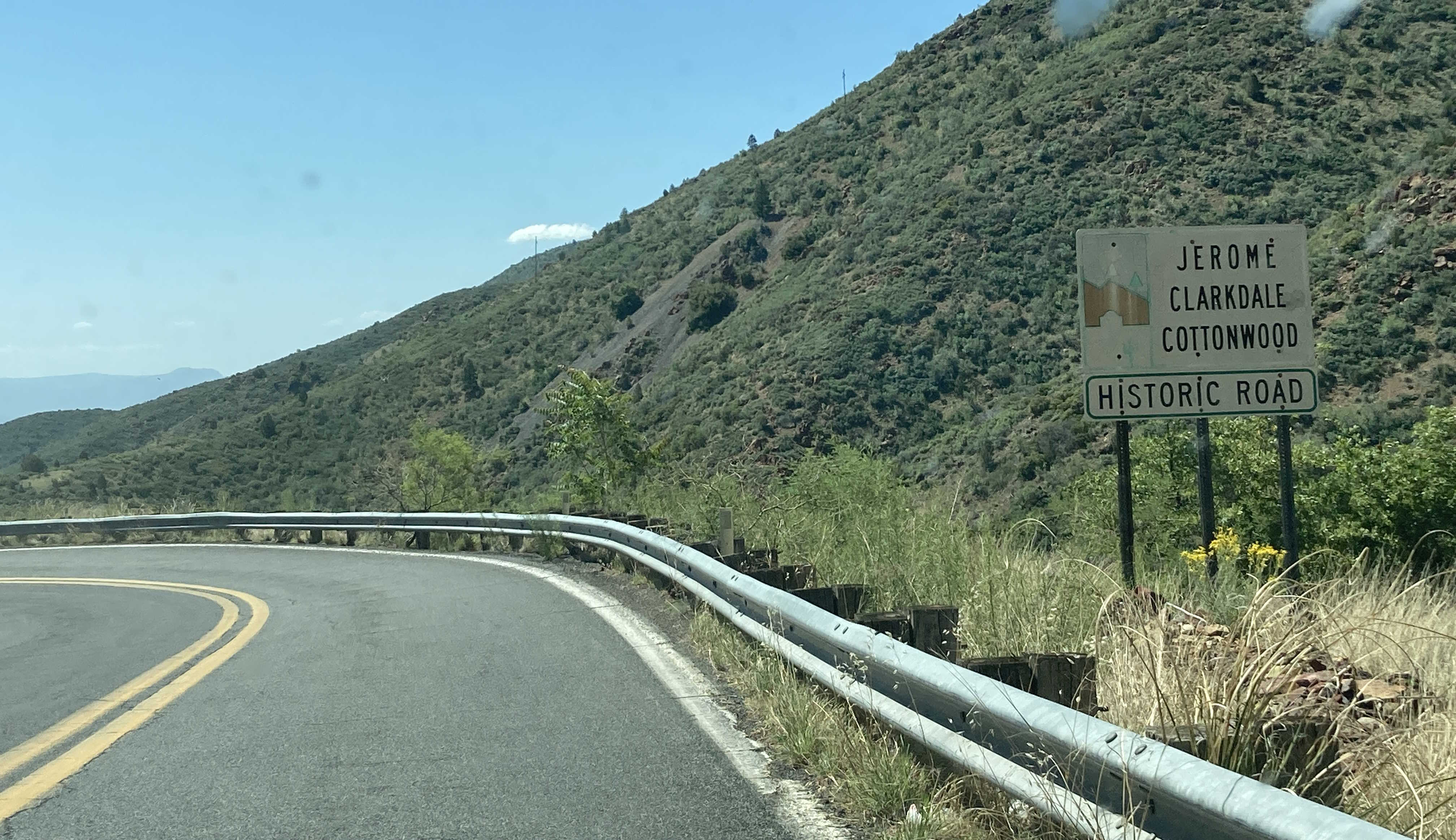
Length: 10 miles
Begins: SR 89A, south of Mile 344, south of Jerome
Ends: SR 89A @ Camino Real in Cottonwood
The Jerome, Clarkdale, and Cottonwood Historic Road is a very scenic road that passes through the towns of Jerome, Clarkdale, and Cottonwood. The segment in Jerome has many hairpins as it passes through the mountainous town that provide very nice views.
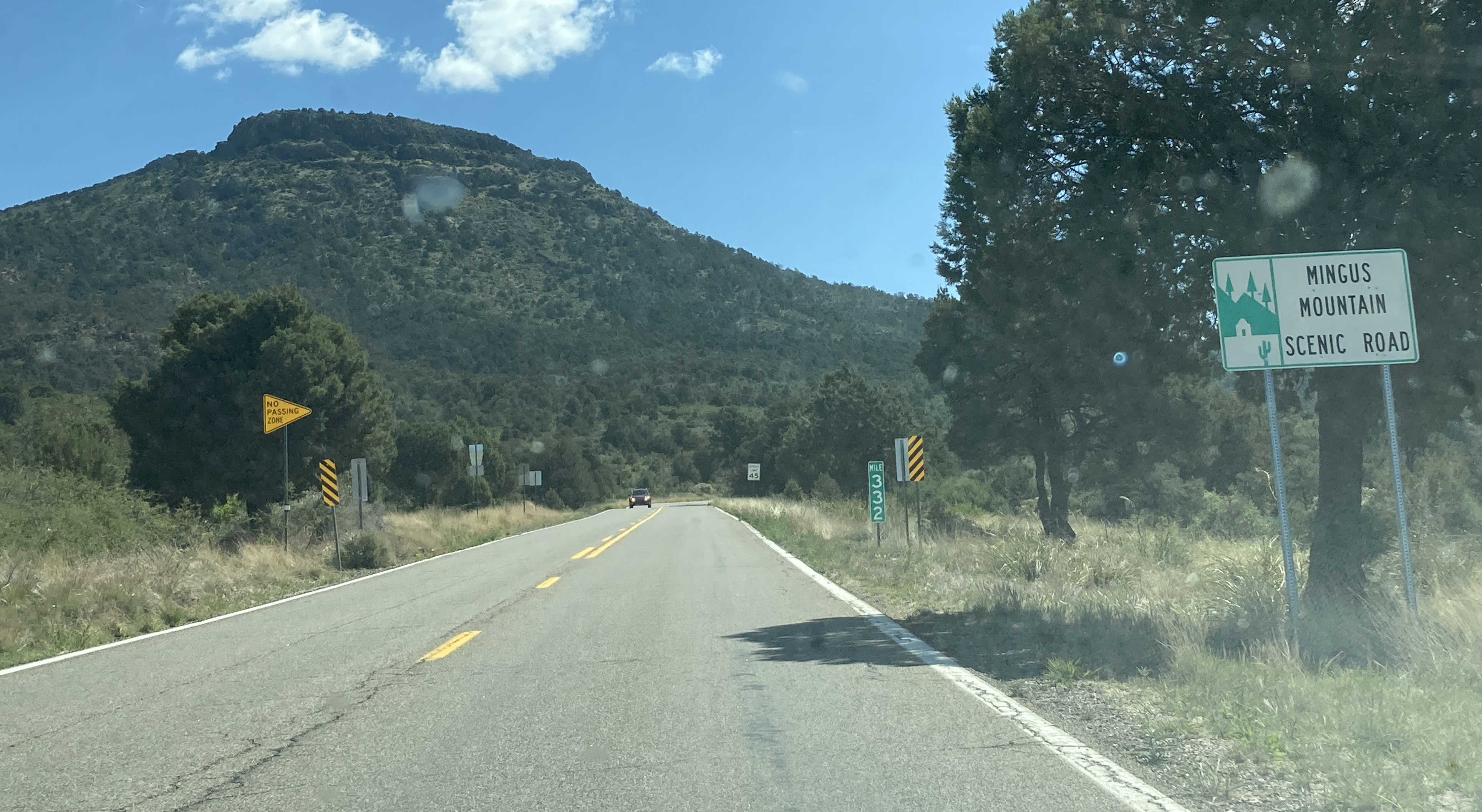
Length: 12 miles
Begins: SR 89A @ Mile 332, northeast of Prescott Valley
Ends: SR 89A, south of Mile 344, south of Jerome
The Mingus Mountain Scenic Road is one of the four scenic road designations on SR 89A. This scenic road travels through Hull Canyon and past Mingus Mountain with many hairpin curves and nice views.
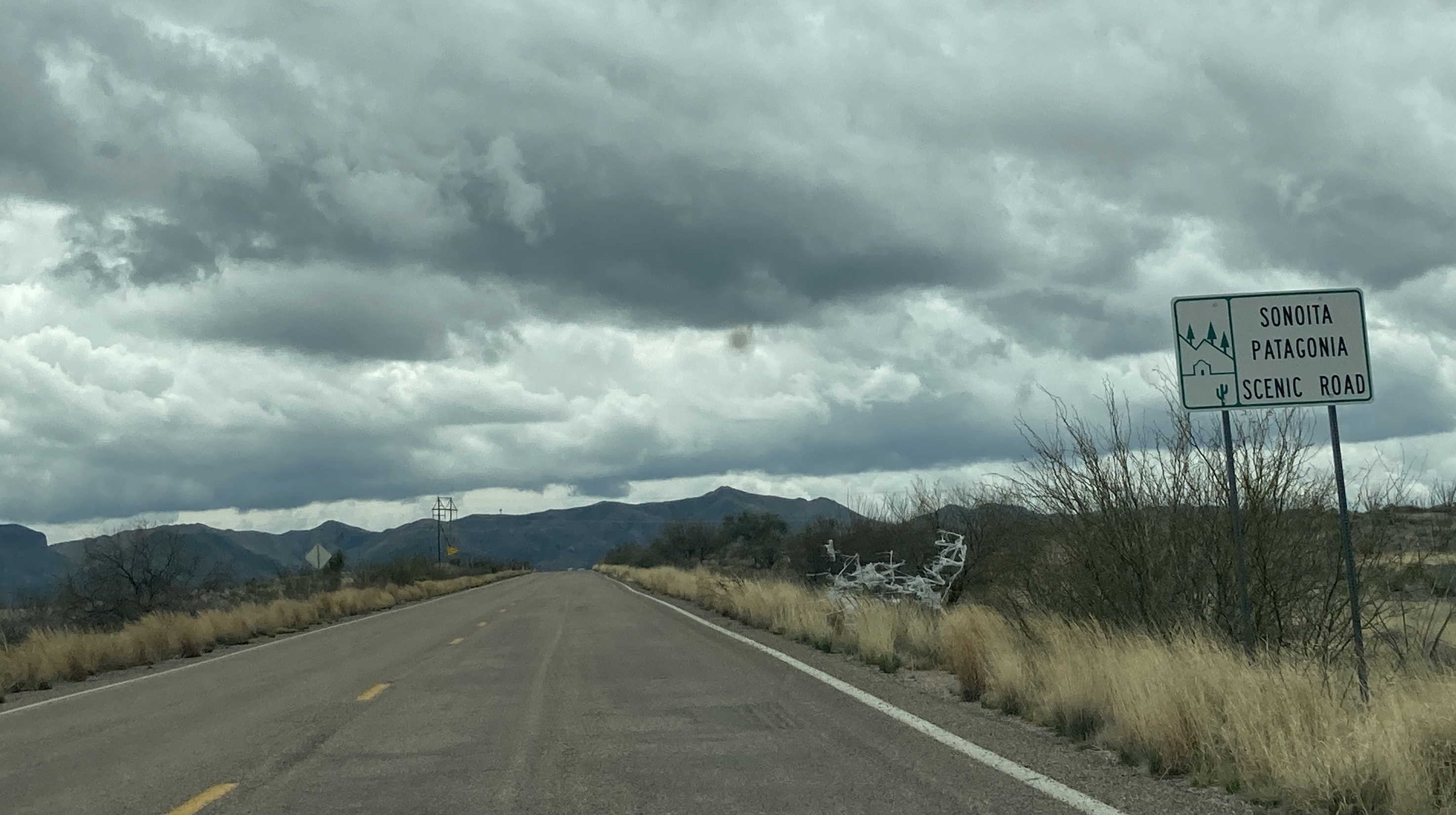
Length: 54 miles
Begins: SR 82, east of Mile 4, east of Nogales
Ends: SR 83 @ I-10 in Vail
The Patagonia-Sonoita Scenic Road passes through Arizona's wine country and by the Santa Rita Mountains. The route begins on SR 82 outside of Nogales, then turns in Sonoita at SR 83, which it follows until I-10.
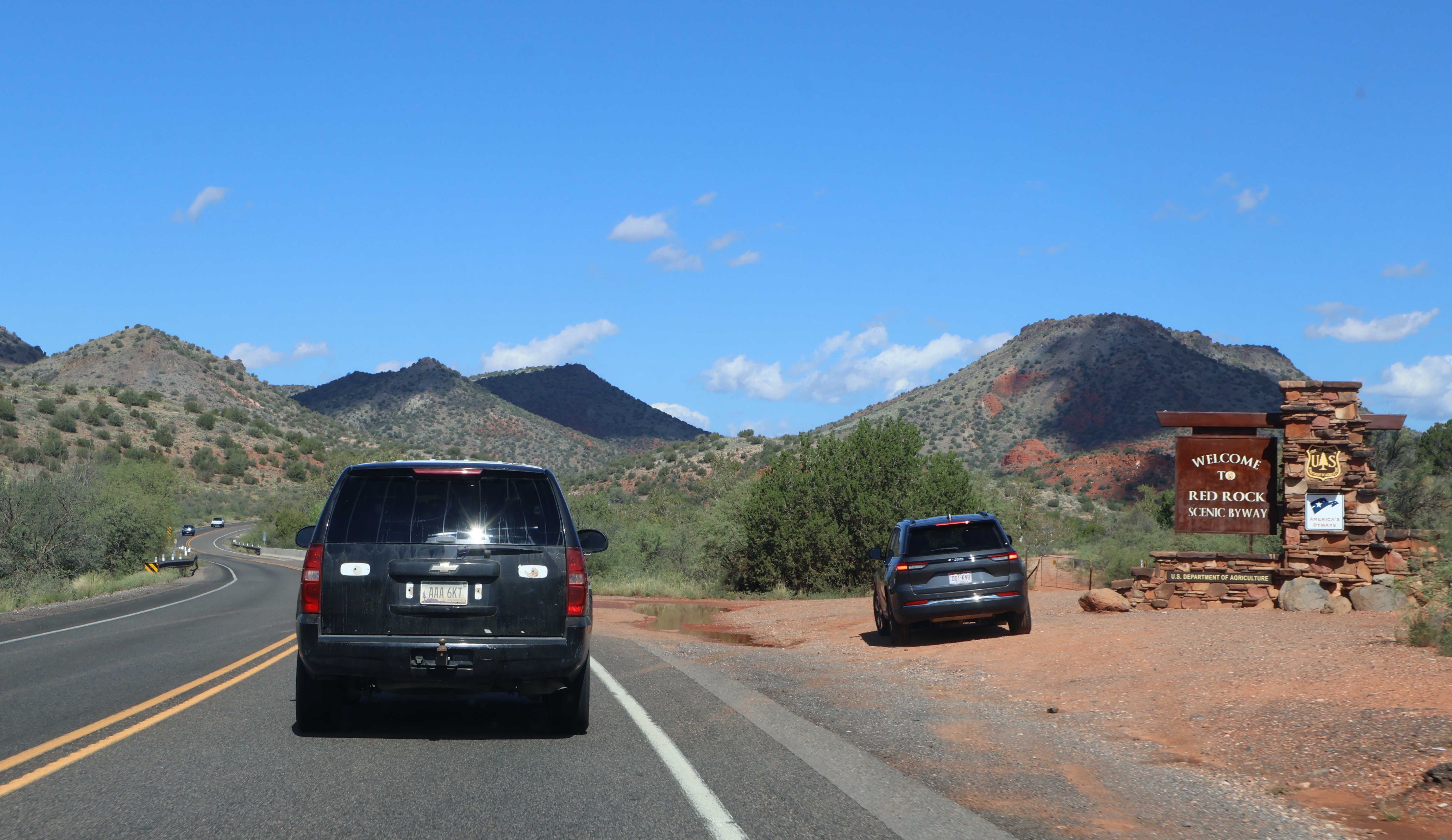
Length: 8 miles
Begins: SR 179, south of Mile 303 and Beaverhead Flat Rd
Ends: SR 179 @ Mile 310 in Sedona
The Red Rock All-American Road is one of two federally designated All-American Roads in Arizona; the other being Historic Route 66. This scenic road passes through the scenic red rocks of the Sedona area on SR 179.
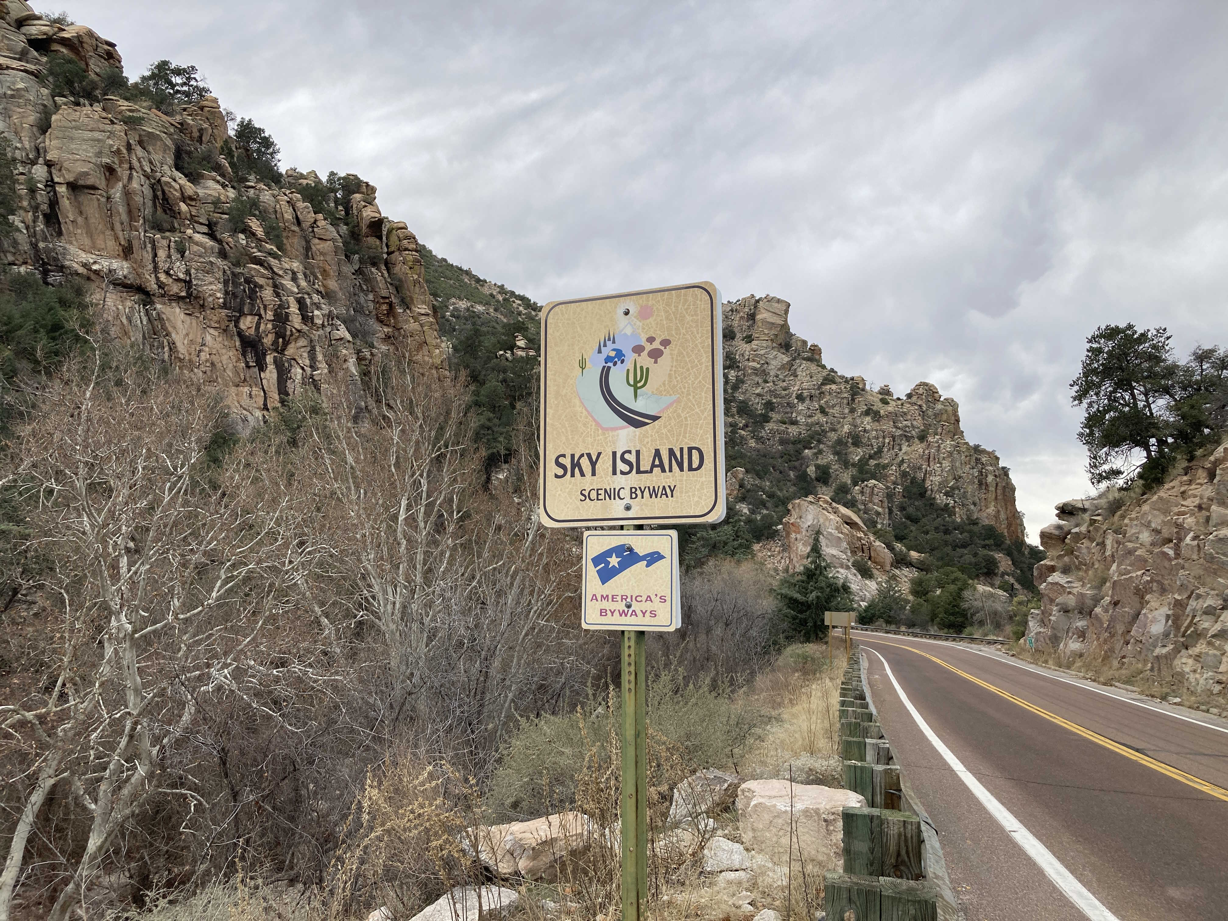
Length: 27 miles
Begins: Catalina Highway @ Mount Lemmon Short Rd in Tucson
Ends: General Hitchcock Hwy @ Turkey Run Rd in Summerhaven
The Sky Island Parkway National Scenic Byway is a federally designated scenic byway that provides access between Tucson and the summit of Mt. Lemmon. You can view more pictures of this highway in its image gallery.
Length: 8 miles
Begins: Walker Rd (Yavapai County Route 57) @ Beginning of Yavapai County Maintenance, south of Lynx Meadow Dr
Ends: Walker Rd (Yavapai County Route 57) @ Sheldon Rd
The Walker Scenic Road was designated on June 21, 2023. The route travels through the forests south of Prescott, passing Lynx Lake, Howell's ghost town, and the Bank Vault Mine.
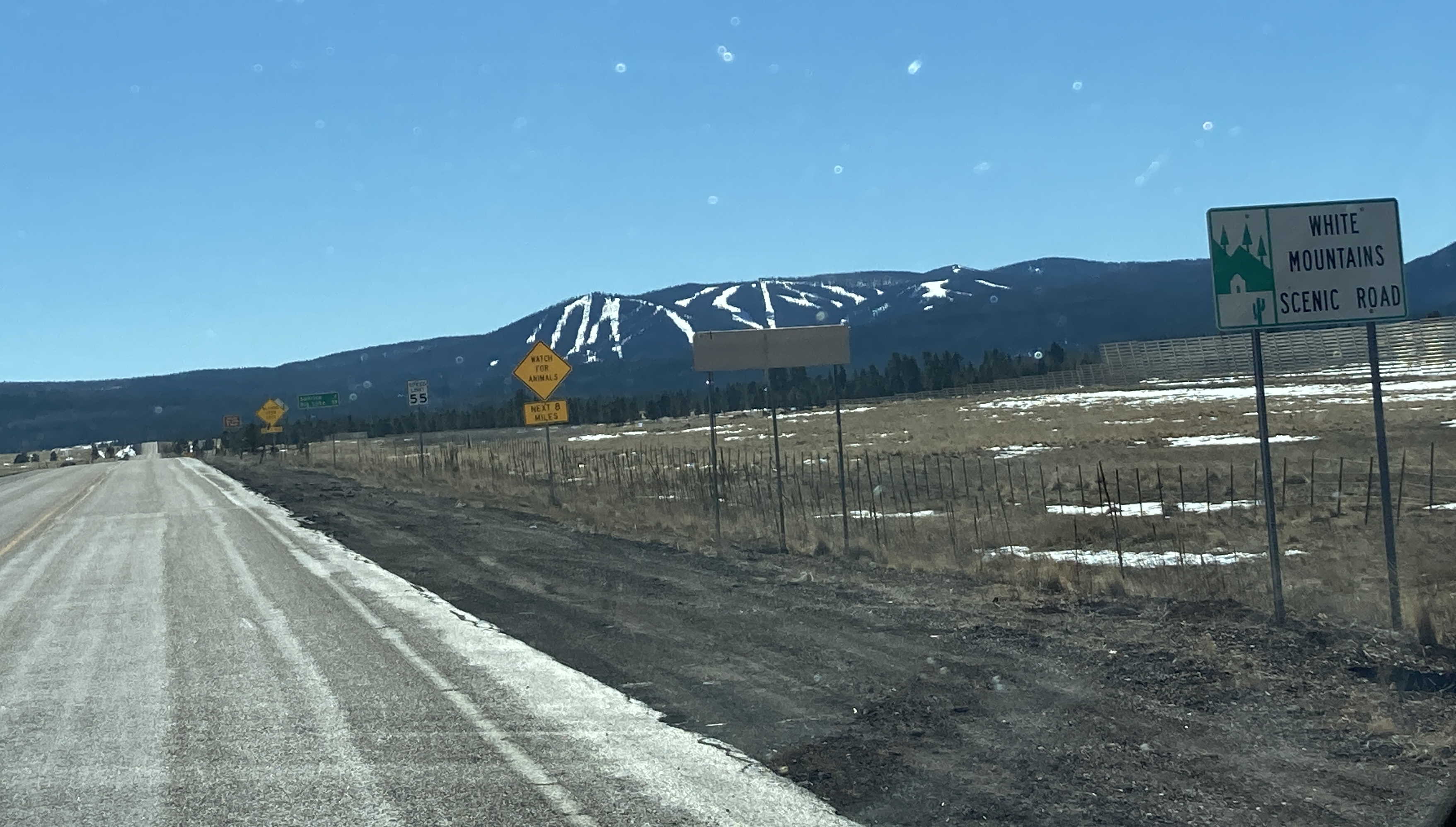
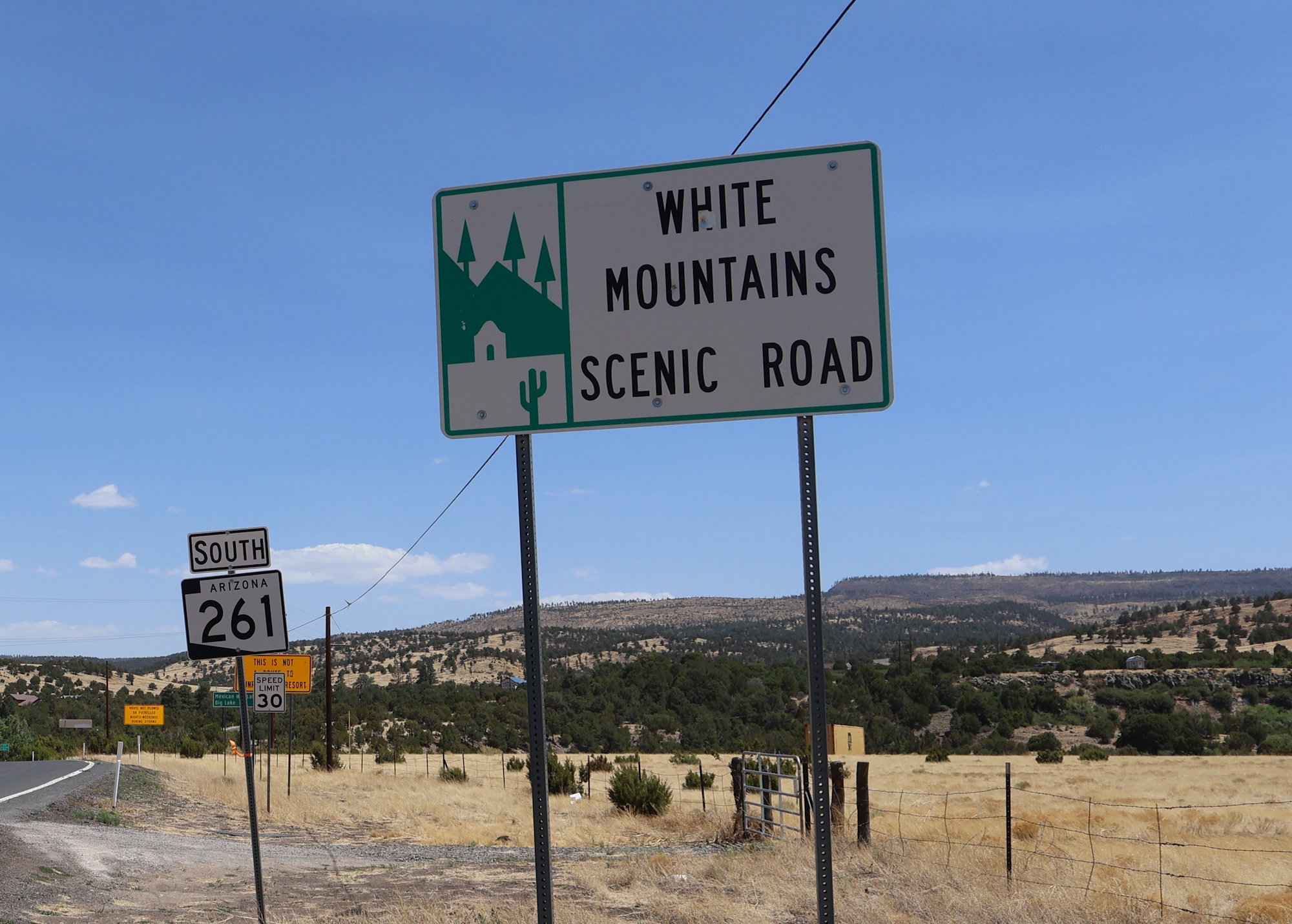
Length: 50 miles
Begins: SR 260 @ Vernon-McNary Rd in McNary
Ends: SR 273 @ SR 260
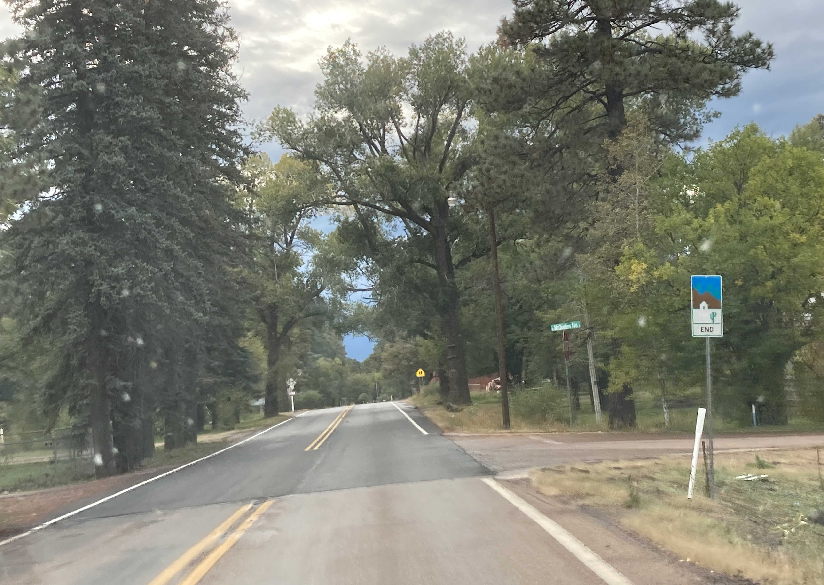
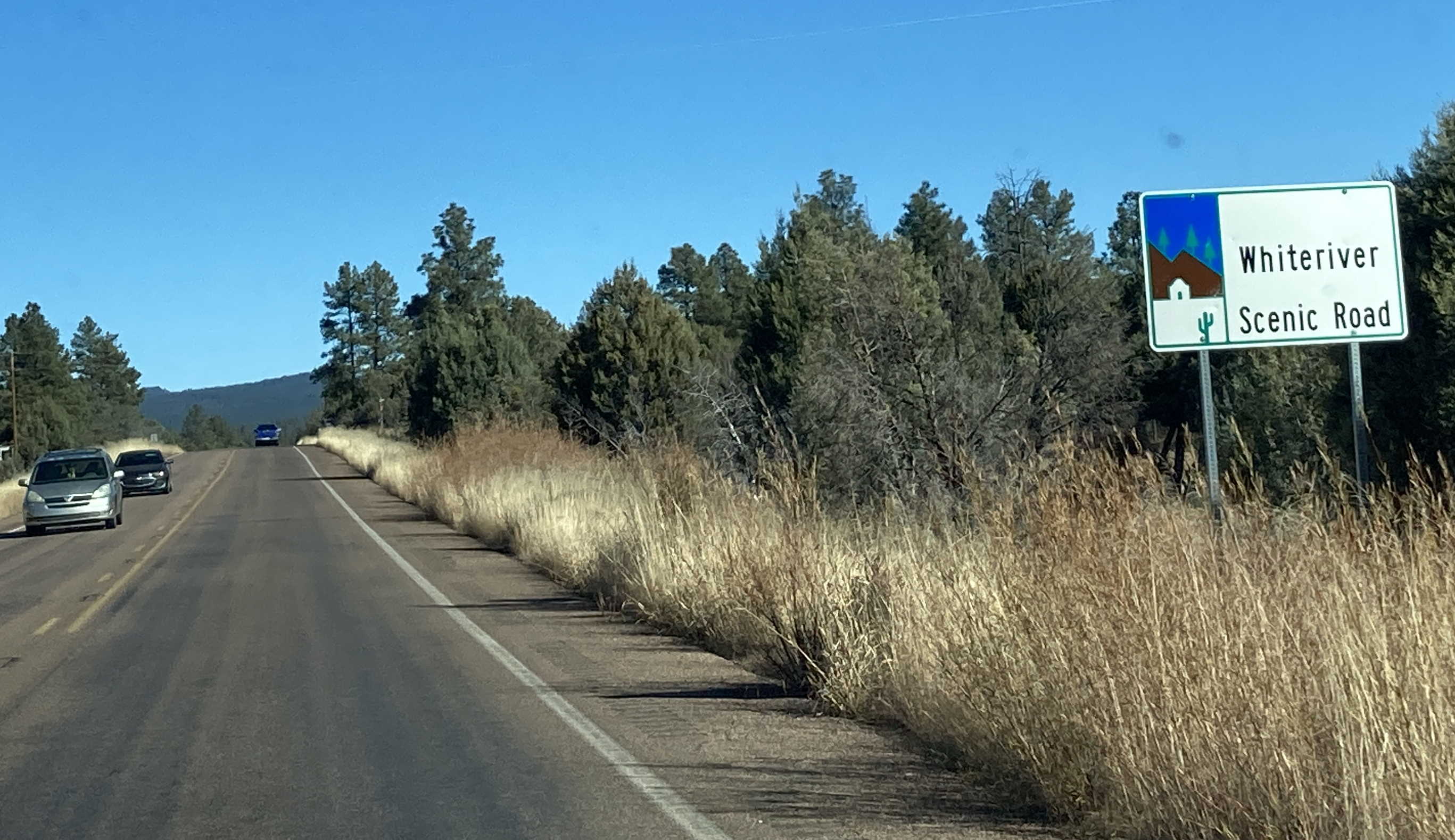
The White Mountains Scenic Road has an interesting route. The main part of the road follows SR 260 from McNary until SR 261, which it then follows until it turns again at SR 273, forming a loop around the White Mountains back to SR 260. There is a small segment of the scenic road that is designated on SR 373 that is described below.
Length: 4 miles
Begins: SR 373 @ Apache County Route 1121 in Greer
Ends: SR 373 @ SR 260
The White Mountains Scenic Road has an interesting route. The main part of the route follows SR 260, SR 261, and SR 273, and is described more above. This segment of the scenic road is designated along the entirety of SR 373 from SR 260 to the town of Greer.
Page last updated: 7/5/2026