US 191
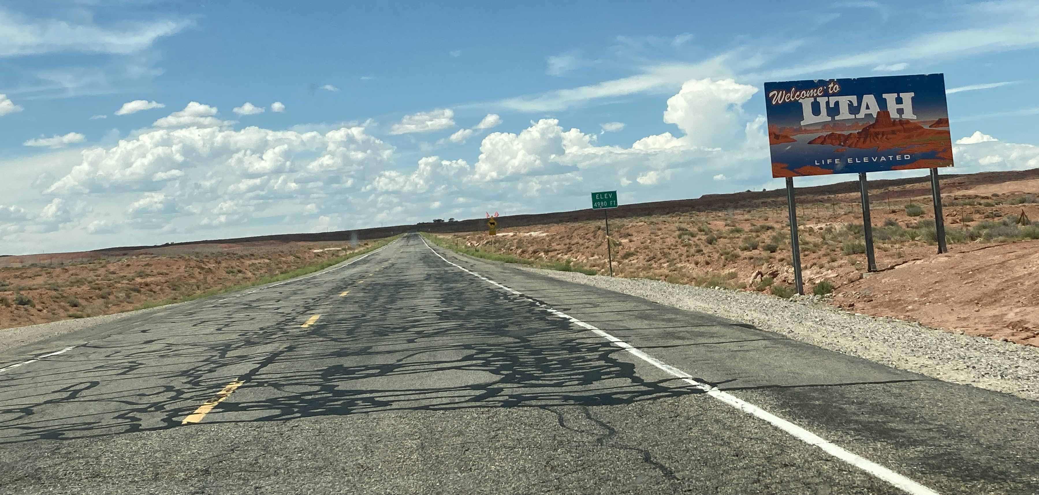
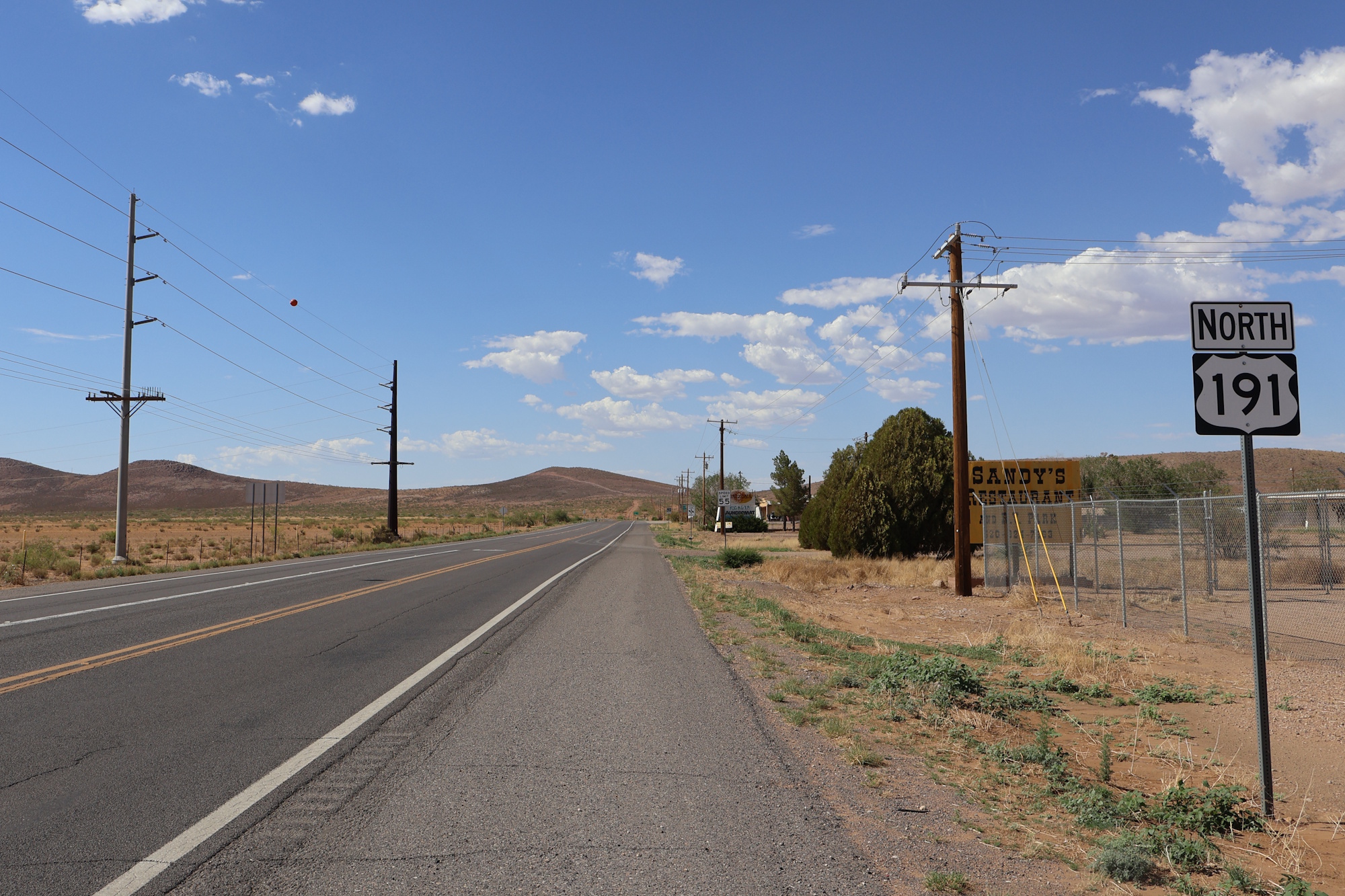
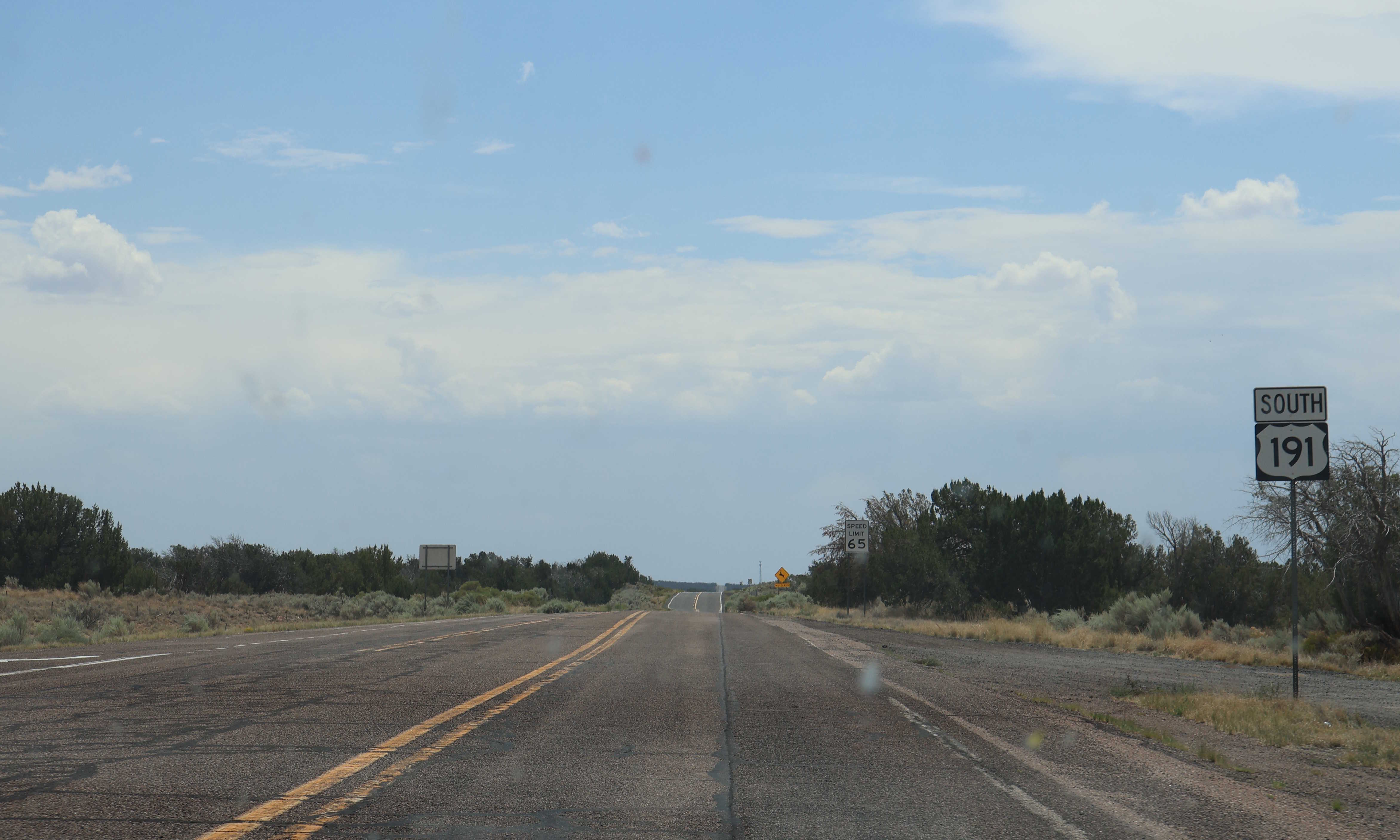
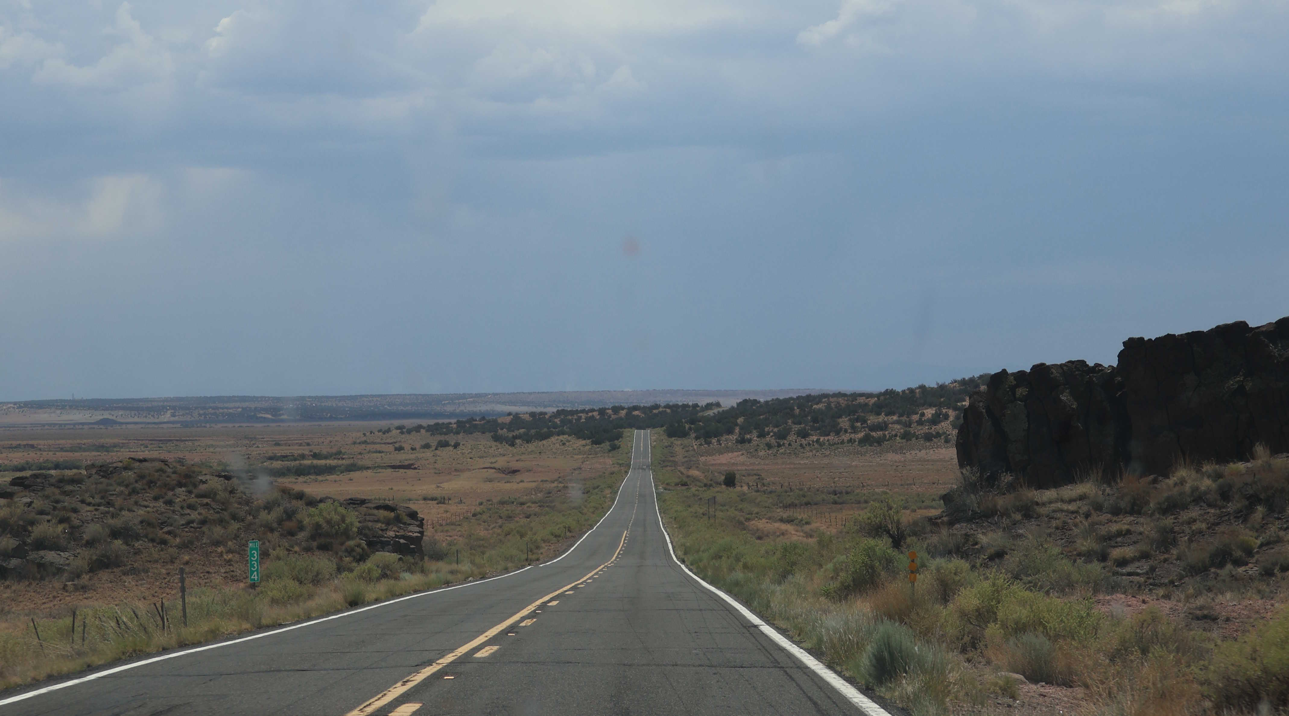
In Arizona, US 191 runs from AZ 80 in Douglas to the Utah state line near Mexican Water. From there, it continues north to the Canadian border. US 191 took over the route of US 666 in Arizona when it was removed from the state highway system in 1992.
Length: 1,624 miles in total, 517 miles in Arizona
Existed since: 1926 nationally, 1981 in Arizona
Current Route in Arizona: AZ 80 in Douglas to Utah state line near Mexican Water
Current Route Nationally: Douglas, AZ to Canadian border in Morgan, MT
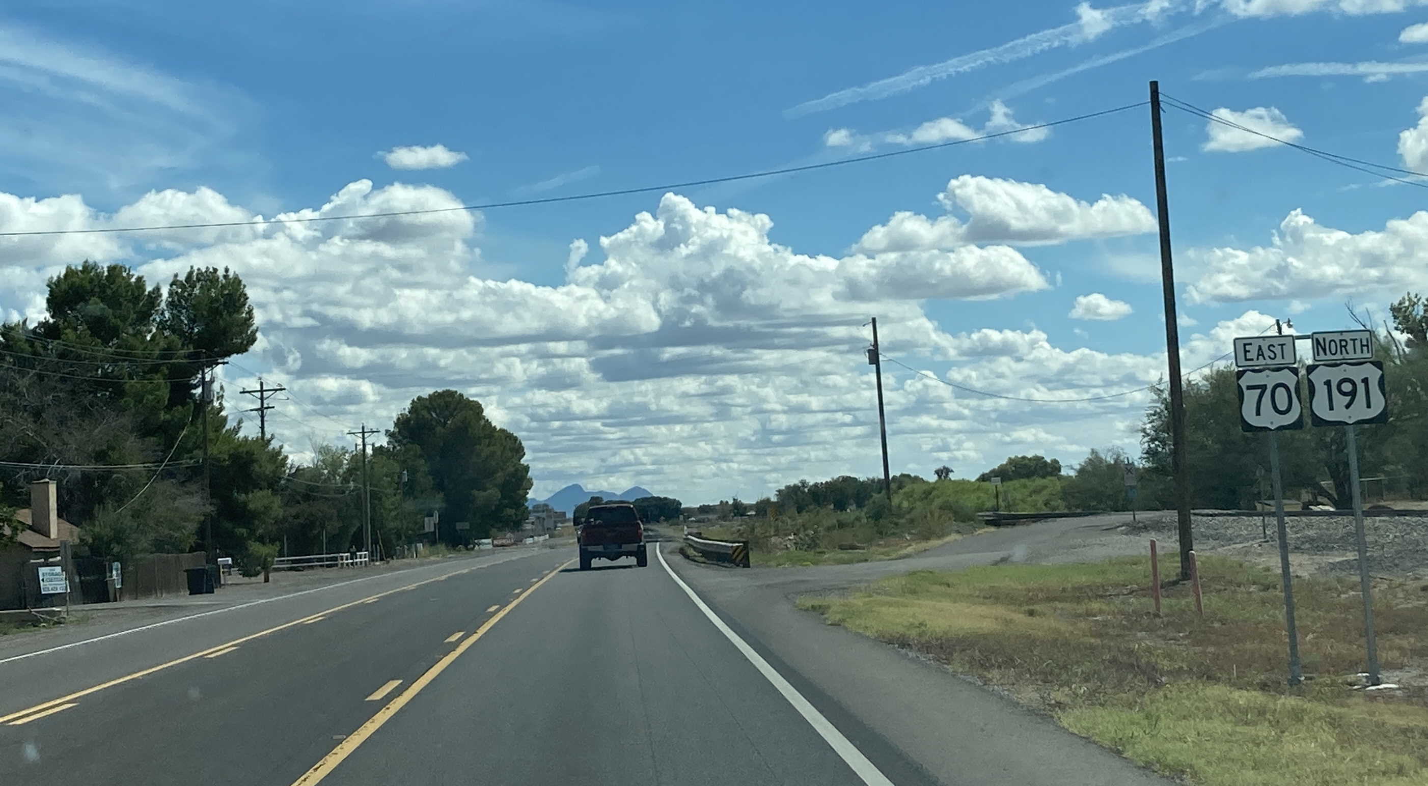
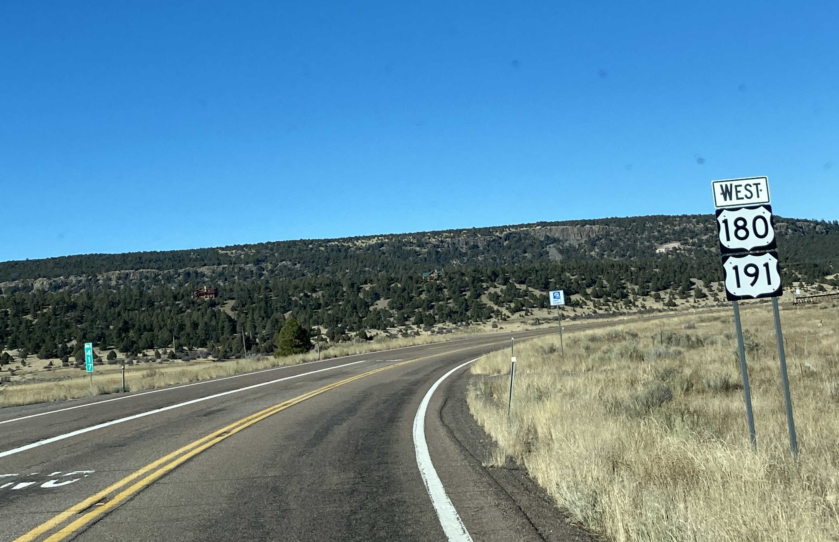
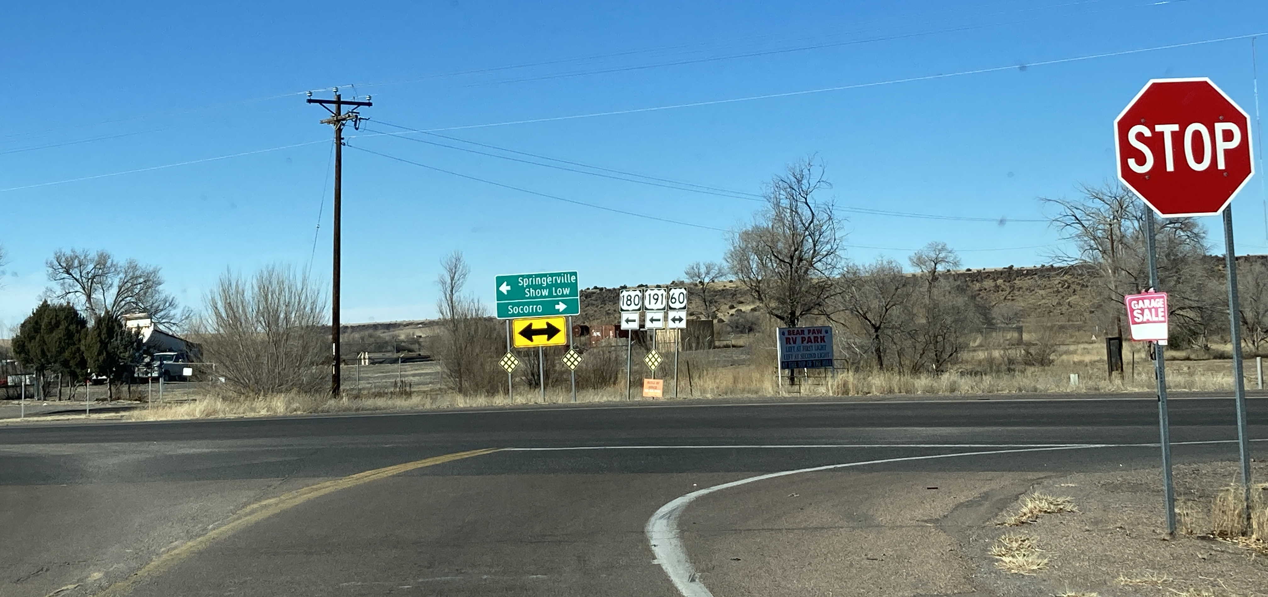
Major Junctions: AZ 80, AZ 181, I-10, AZ 186, AZ 266, AZ 366, US 70, AZ 75, AZ 78, US 180, AZ 260, US 60, AZ 61, I-40, AZ 264, US 160
Cool Features
US 191 is the longest numbered highway in the state.
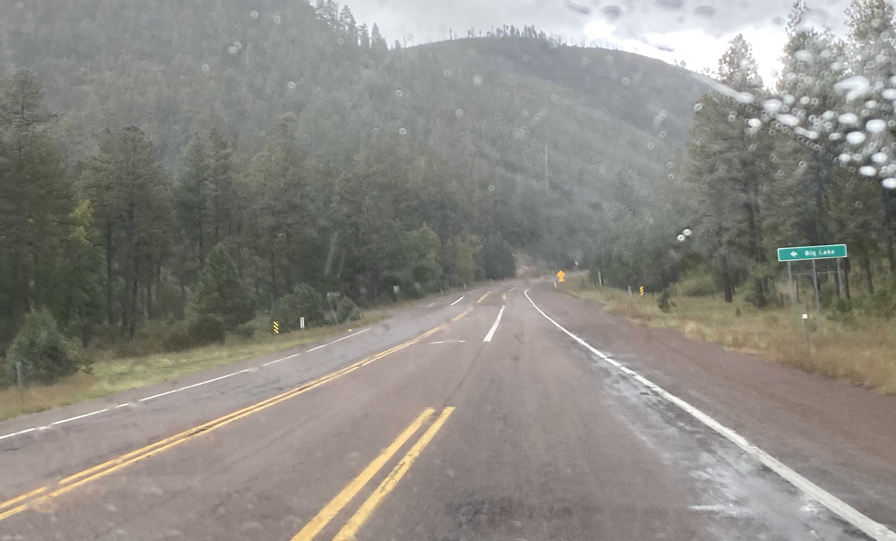
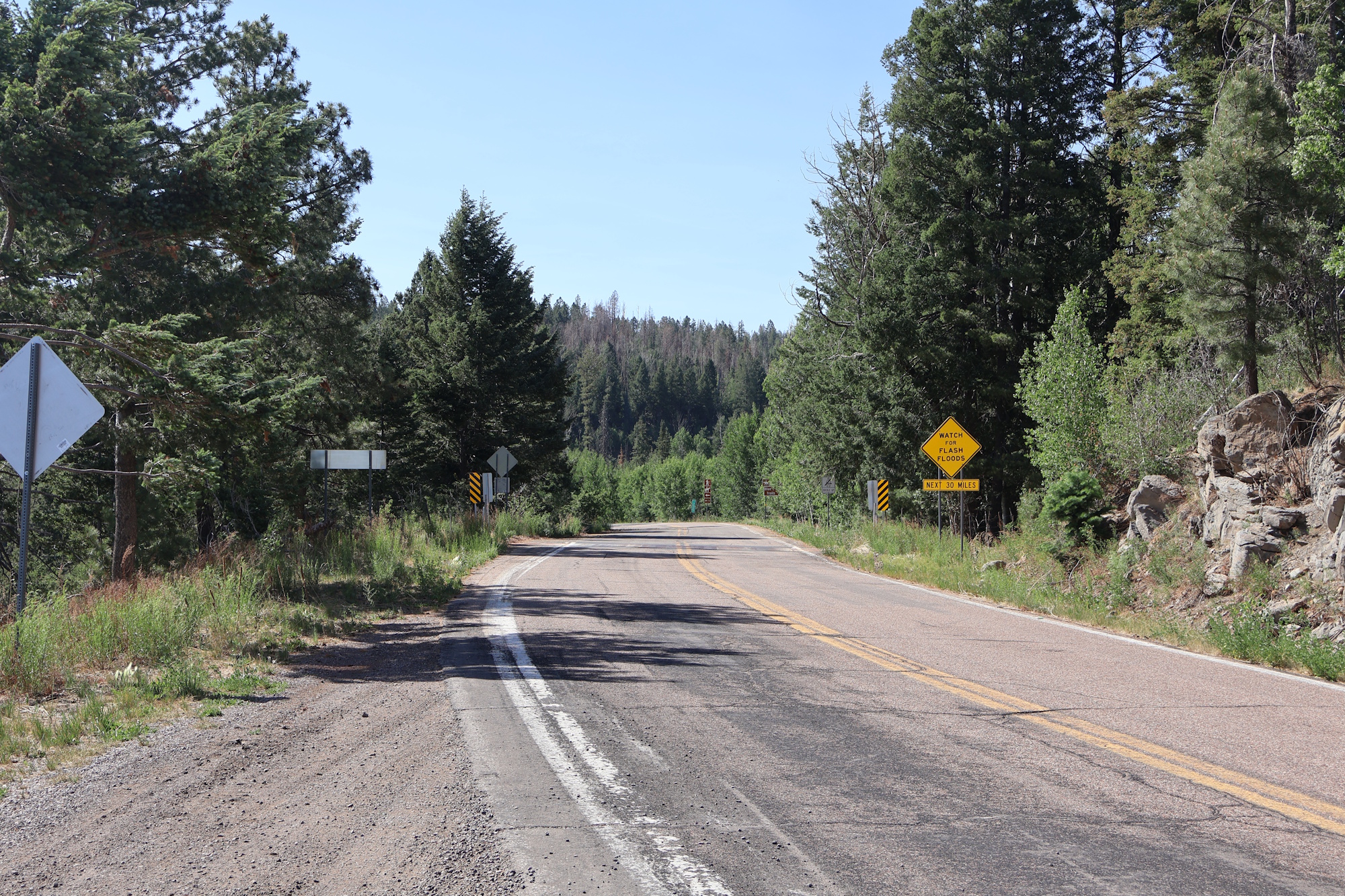
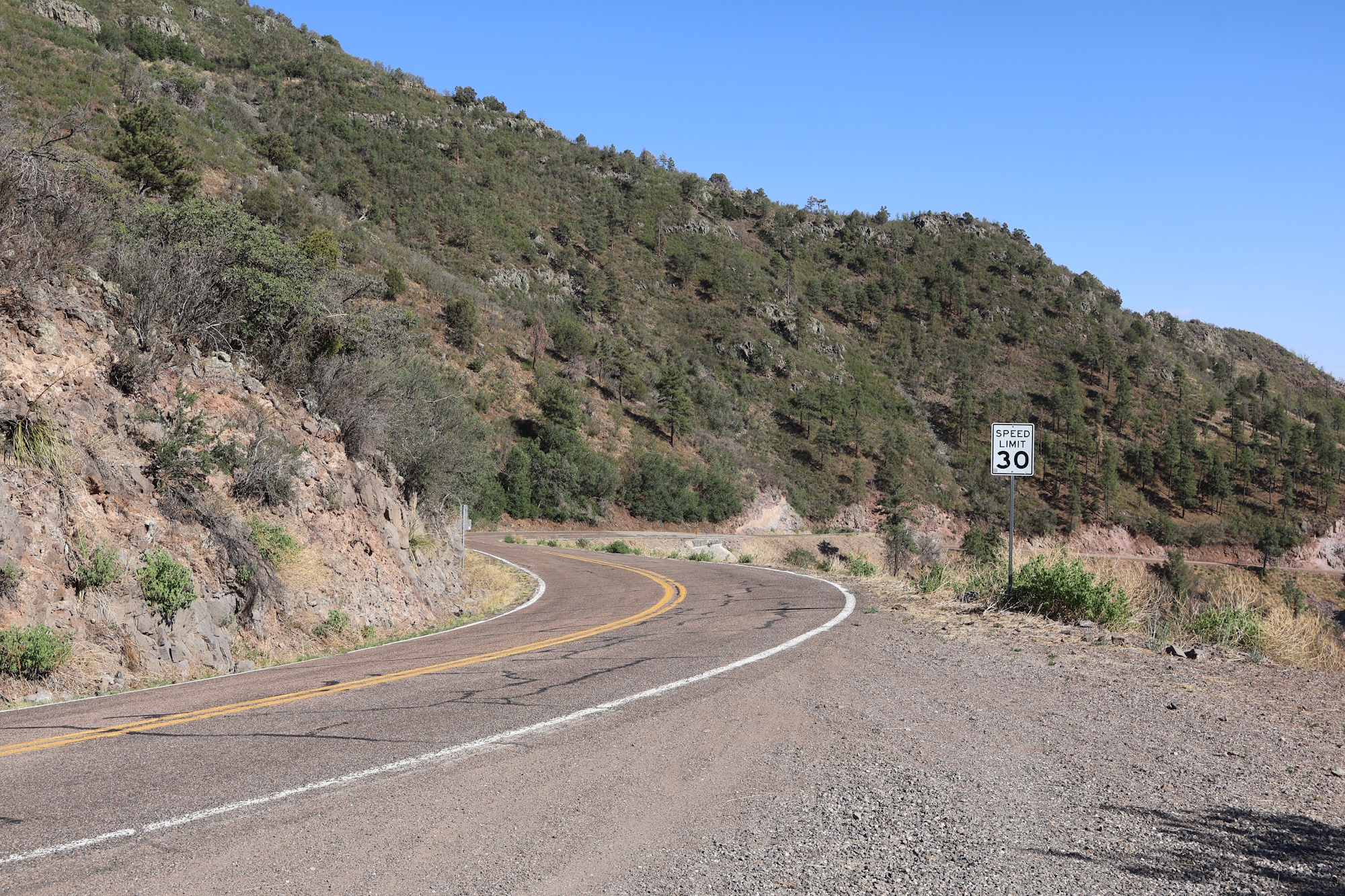
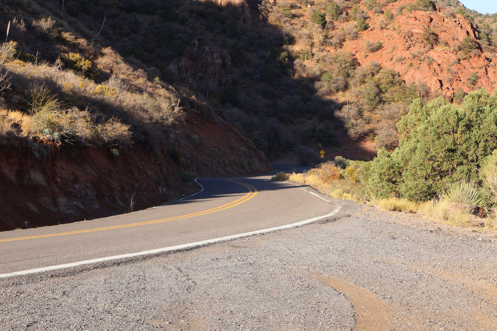
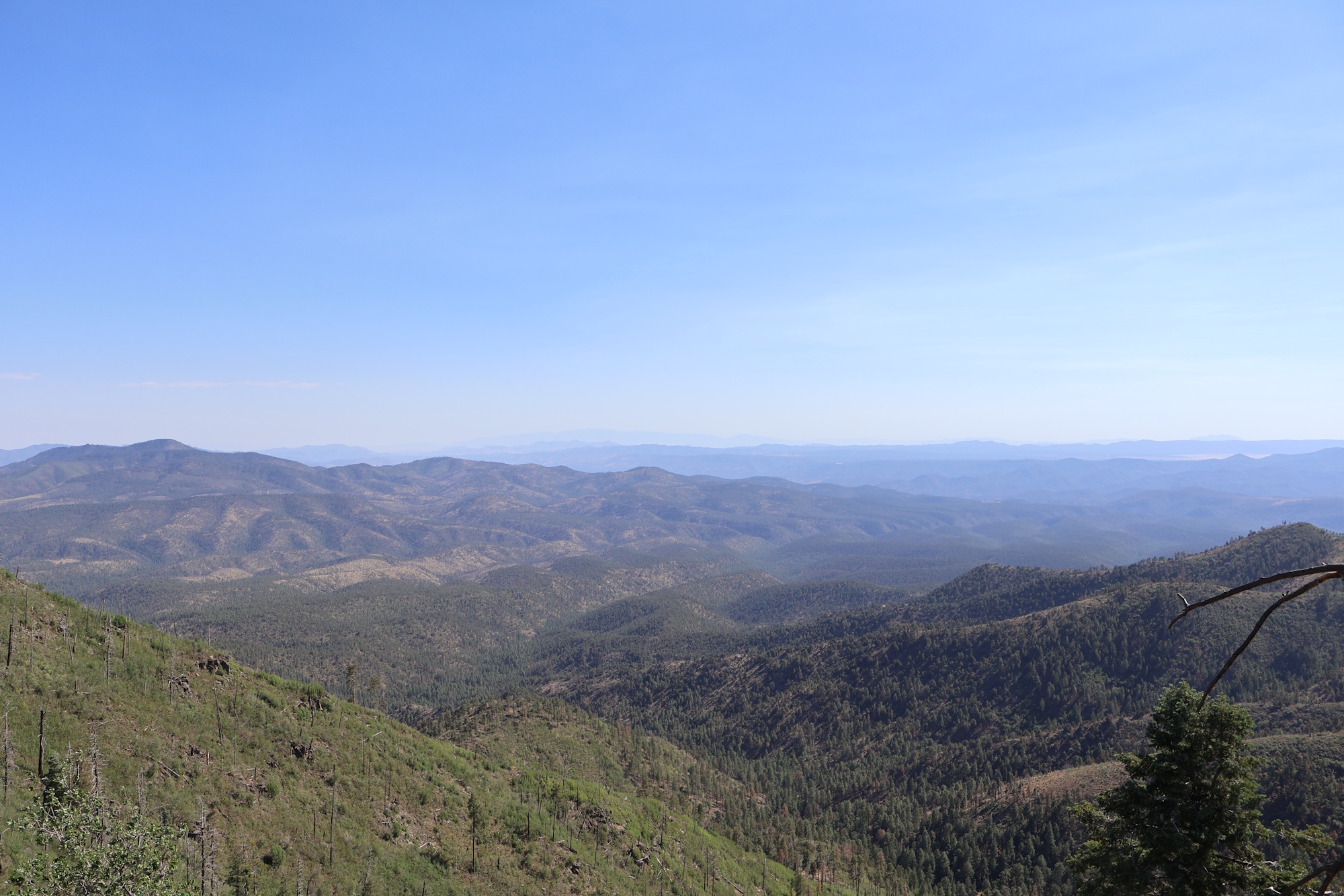
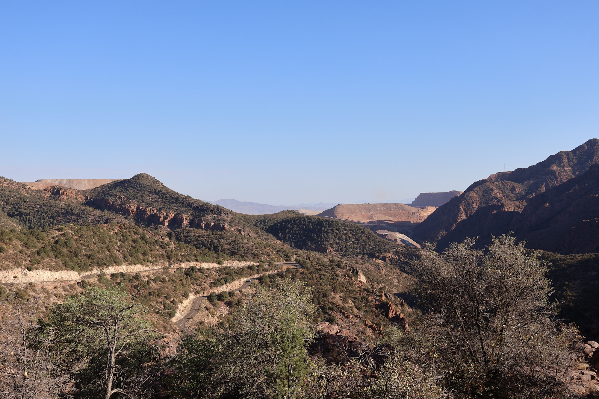
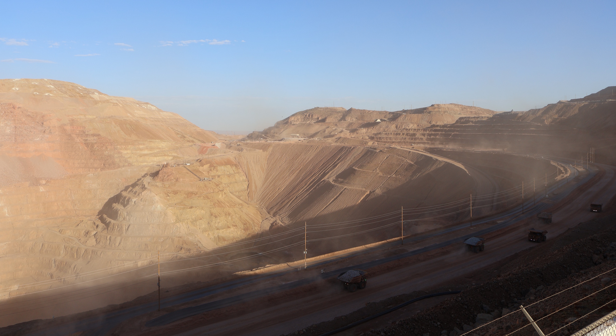
US 191 is very narrow and winding with hundreds of tight curves and no guard rail between Clifton and Alpine. It has some great views, though, including ones of the Morenci Mine, the largest copper mine in Arizona.
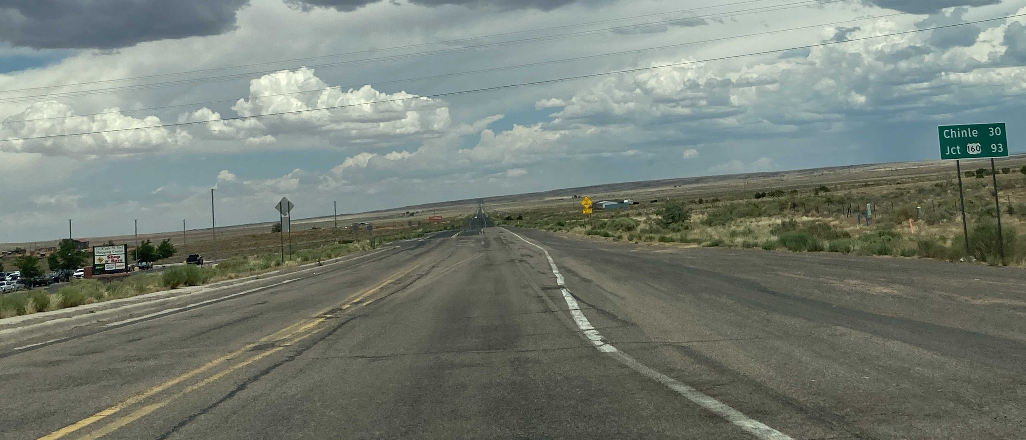
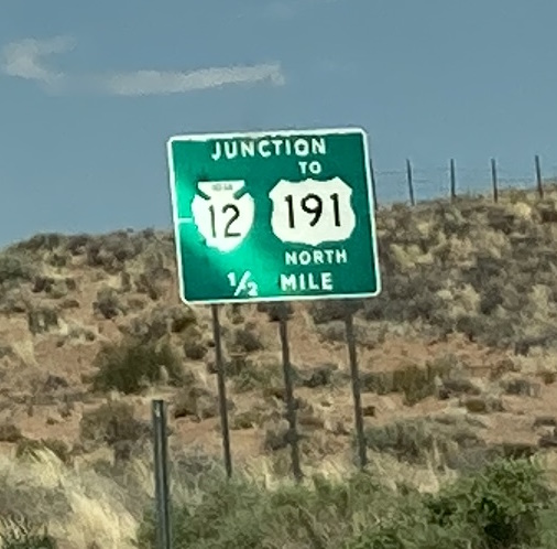
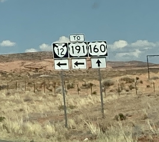
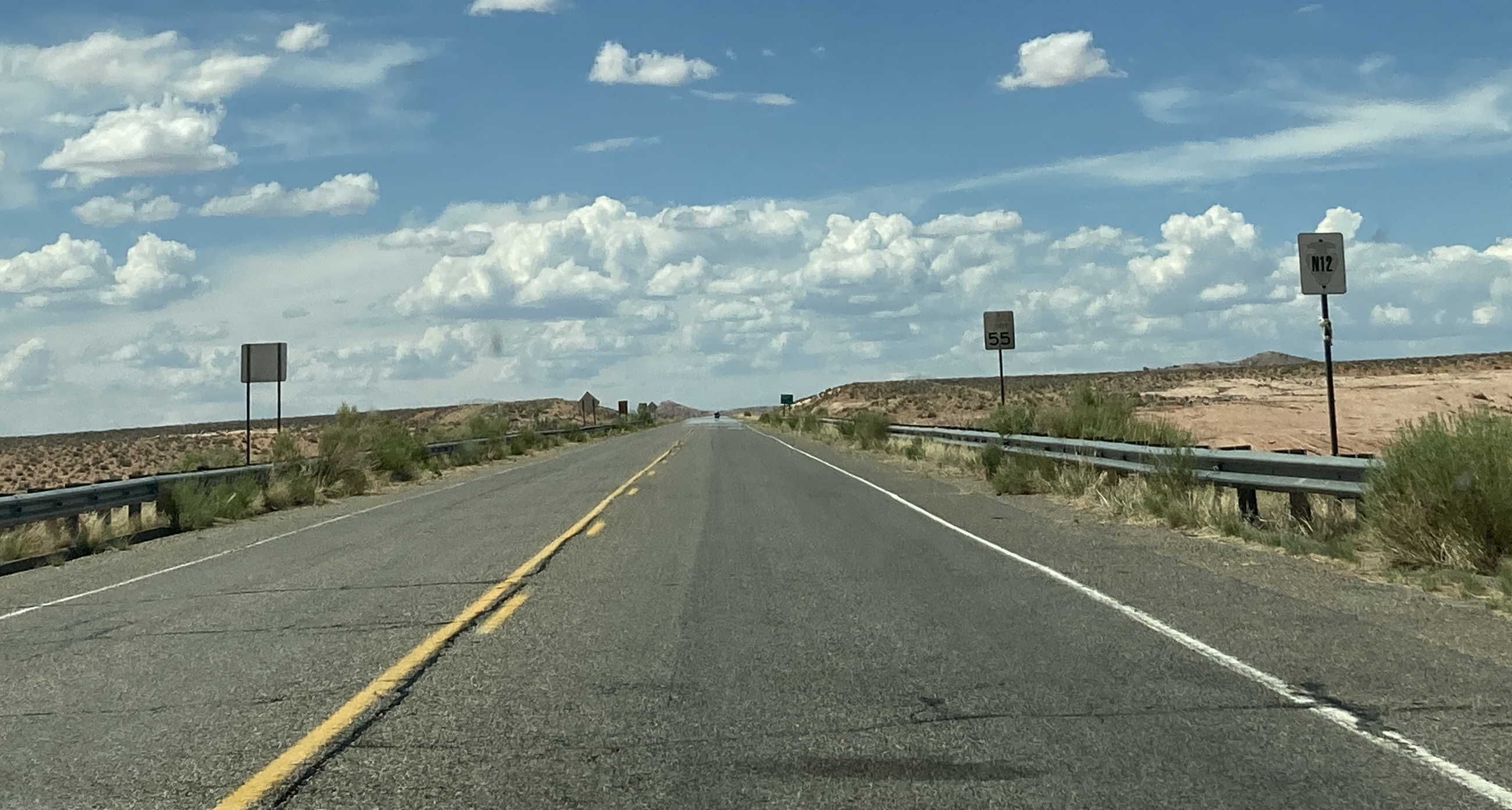
The northern end of US 191 within Arizona is unique because it is maintained by the Navajo Nation and signed as IR 12 with "TO US 191 North" signs.
Related Routes
US 191 Business
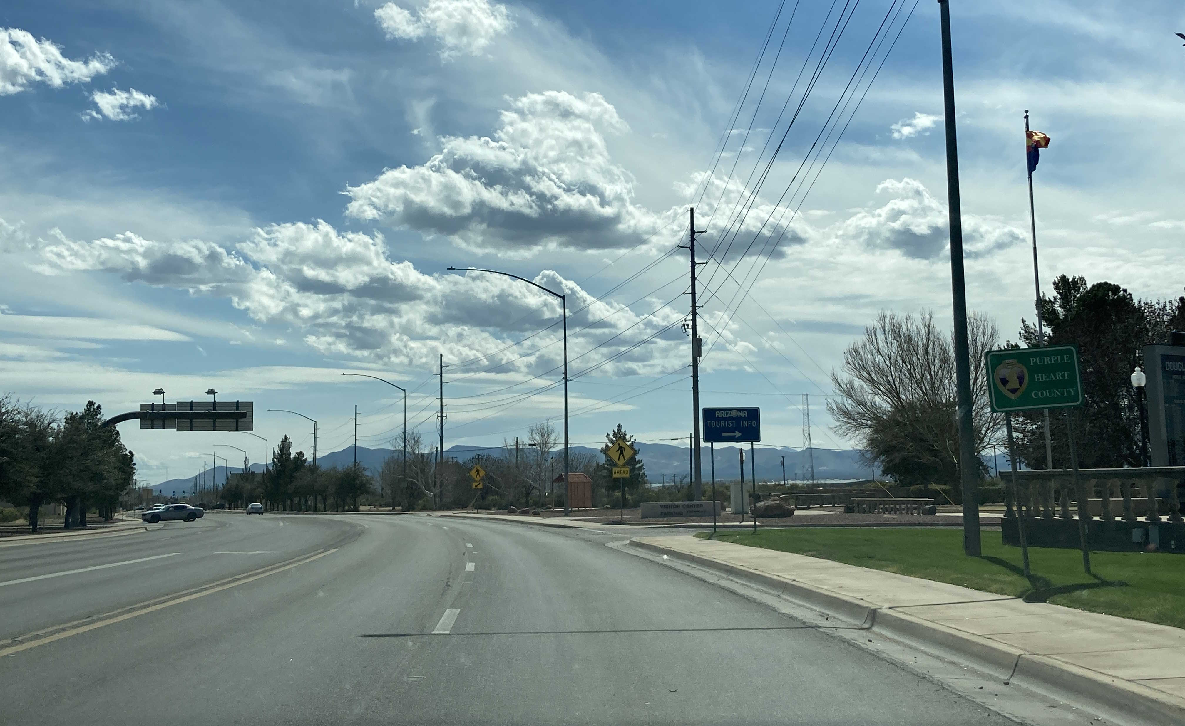
US 191 Business is located in the town of Douglas and it provides access to the Mexican border from AZ 80. Before US 666's removal, this was designated as US 666 Business. Despite being a business route of US 191, it doesn't actually intersect with it.
US 191Y
US 191T
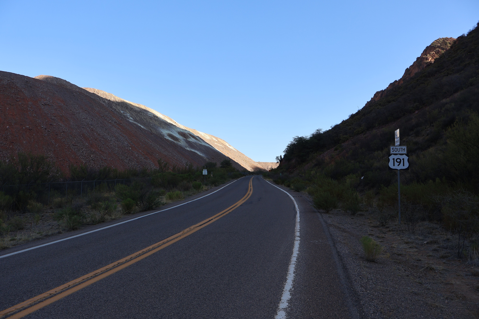
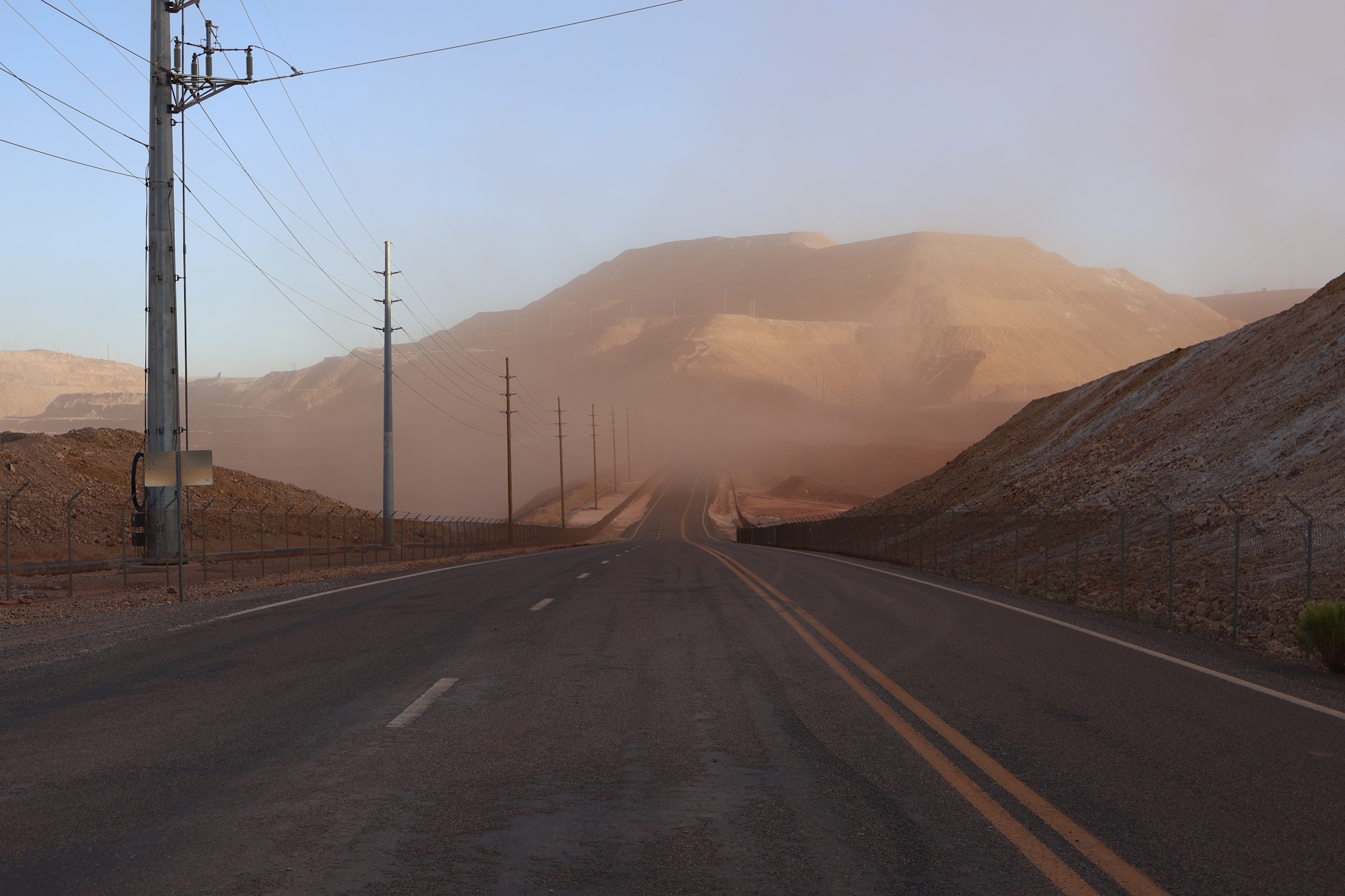
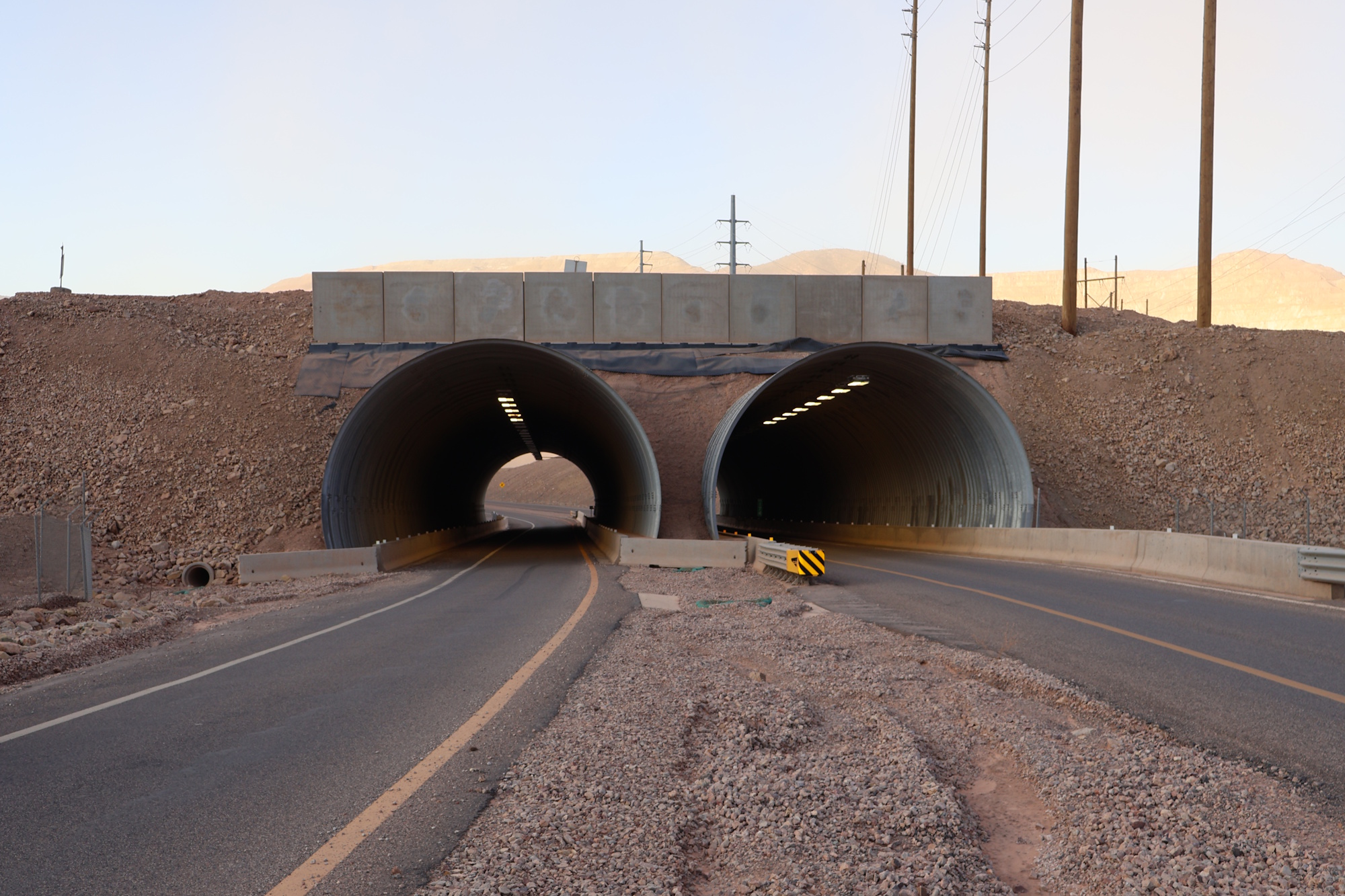
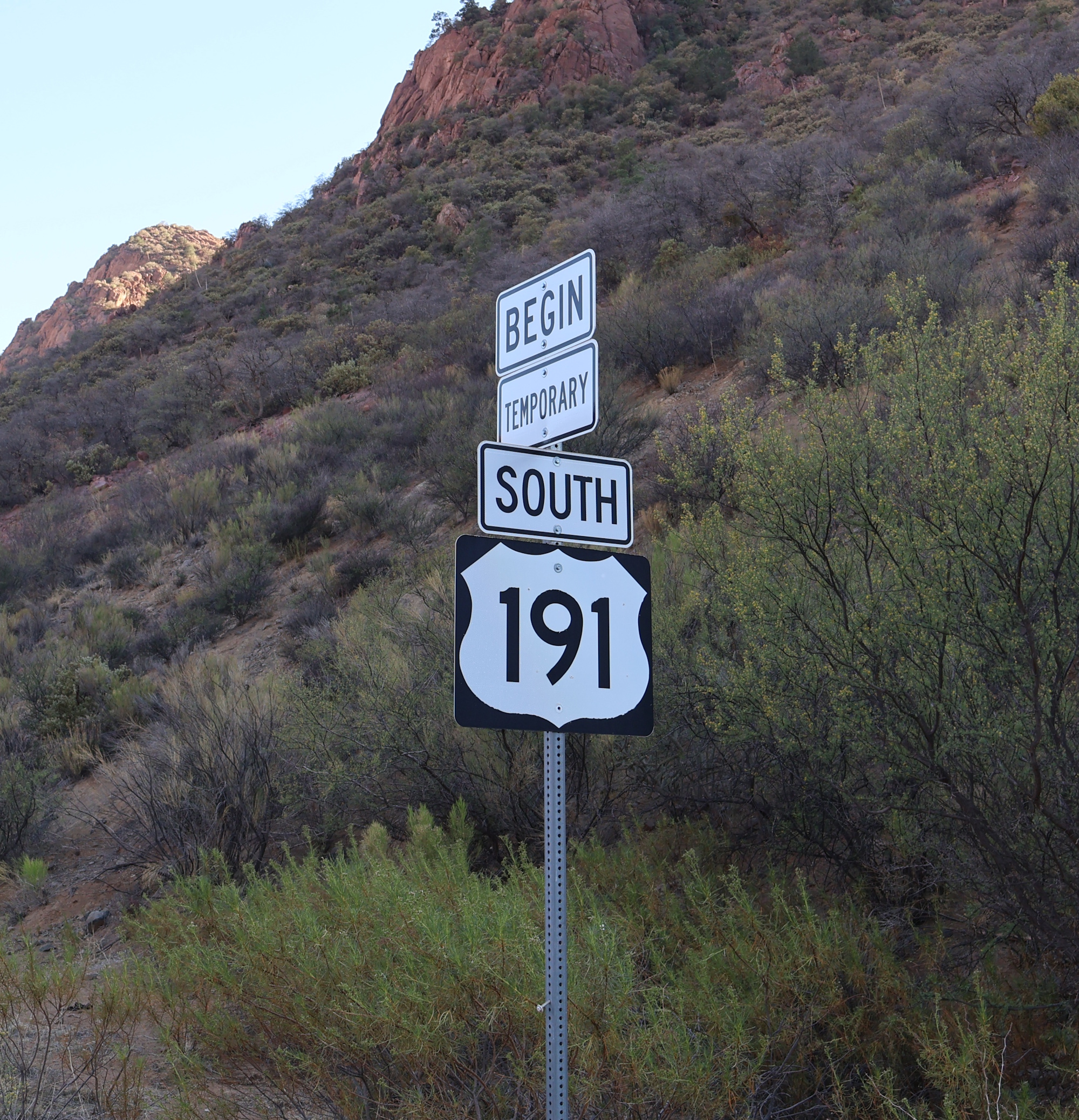
US 191T is the designation for a route of US 191 through the Morenci Mine. This used to be US 666 Temp until US 191 took over. This segment of US 191 is temporary because the road is constantly being moved so that the mine can continue to expand. There seem to be some plans to eventually permanently move US 191 west of the mine so that it doesn't need to be moved all the time, but they seem to be very far off.
Pictures
Page last updated: 8/14/2025

