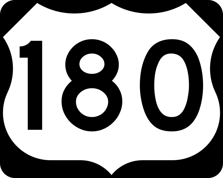
US 180
In Arizona, US 180 runs from the Grand Canyon with AZ 64 until Valle where it splits off, then goes through downtown Flagstaff, along I-40 and then down to the New Mexico state line near Alpine.
Length: 1,135 miles in total, 292 miles in Arizona
Existed since: 1943 nationally, 1961 in Arizona
Current Route in Arizona: Grand Canyon National Park Entrance in Tusayan to New Mexico state line near Alpine
Current Route Nationally: Tusayan, AZ to Hudson Oaks, TX
Major Junctions: AZ 64, US 89, I-40, AZ 99, AZ 87, AZ 77, AZ 180A, AZ 61, US 191, US 60, AZ 260
Cool Features
US 180 is actually 57 miles longer than its parent highway, US 80 because of how much US 80 has been truncated over time.
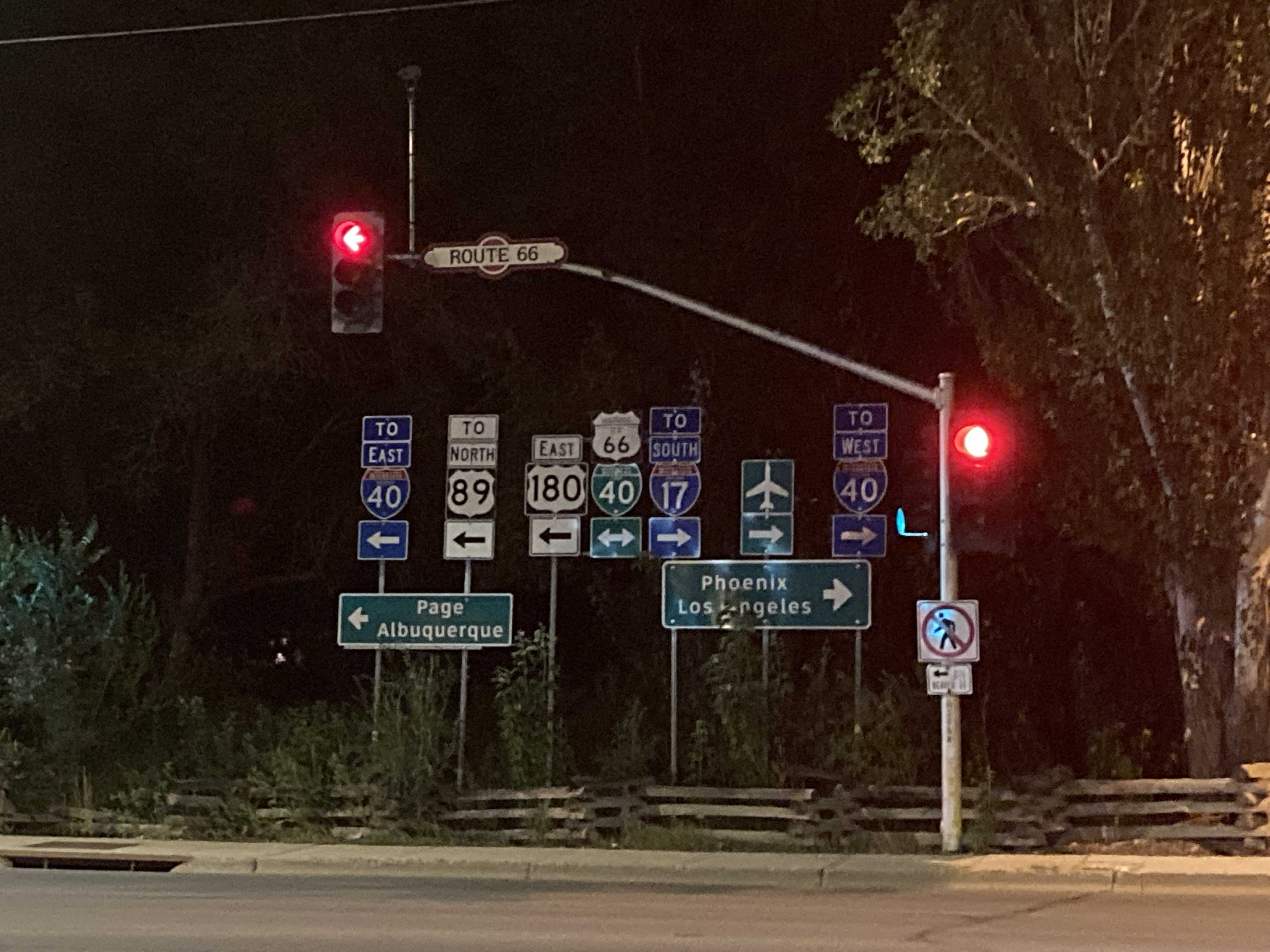
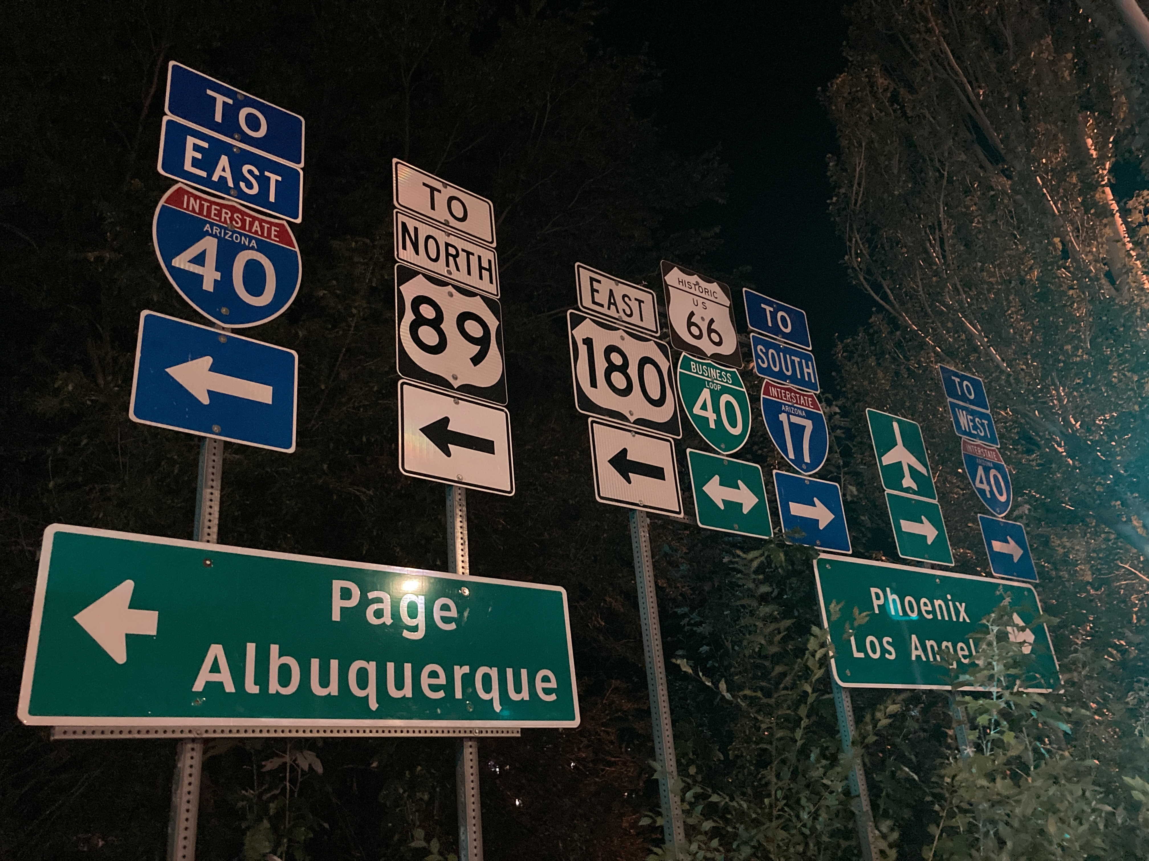
US 180 technically runs concurrent with Historic US 66 and I-40's business loop through Flagstaff, but it's not really signed.
US 180 has a group of a bunch of signs at its intersection with Route 66 in Flagstaff, known as "The Sign Salad."
Pictures
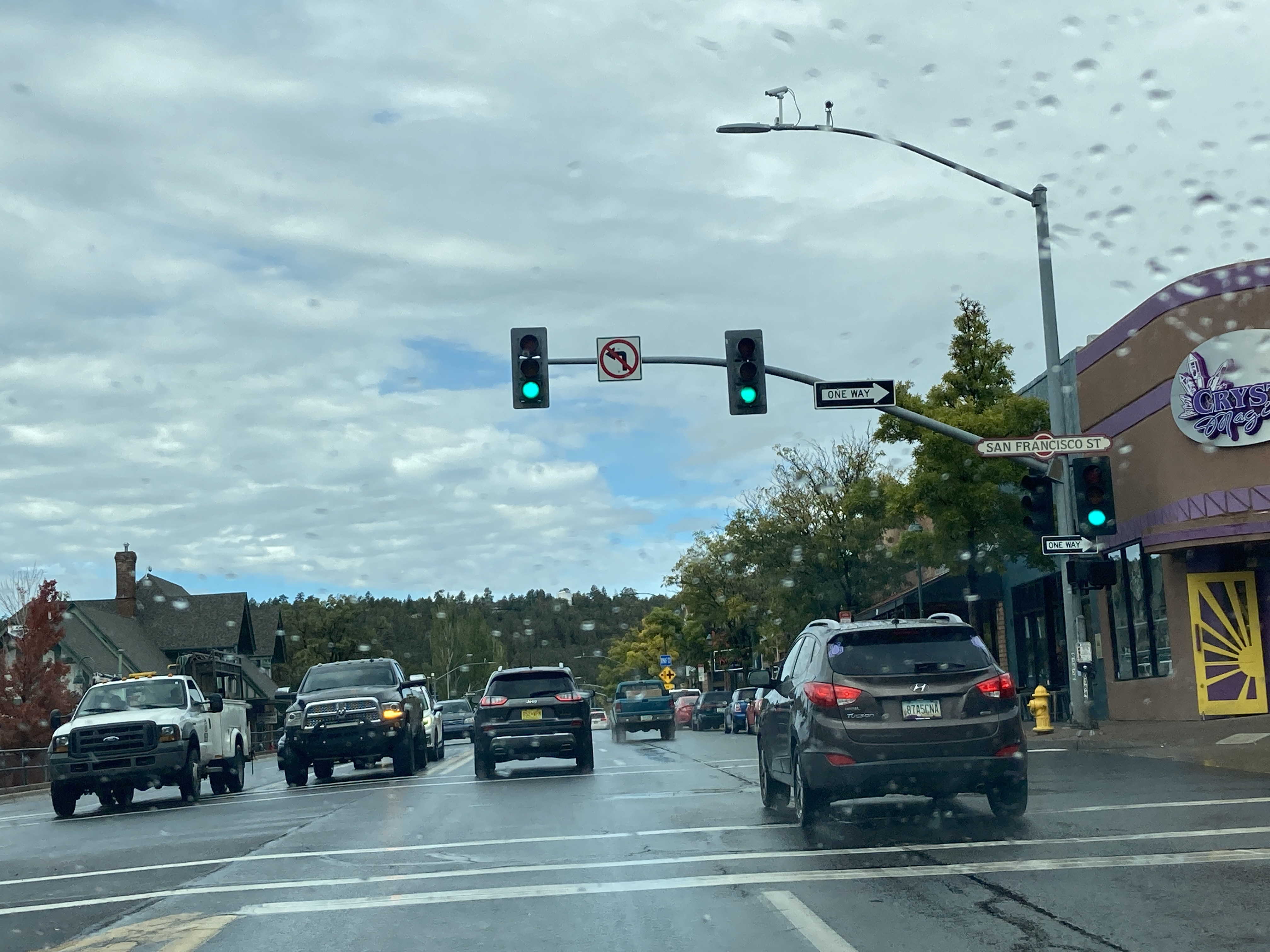
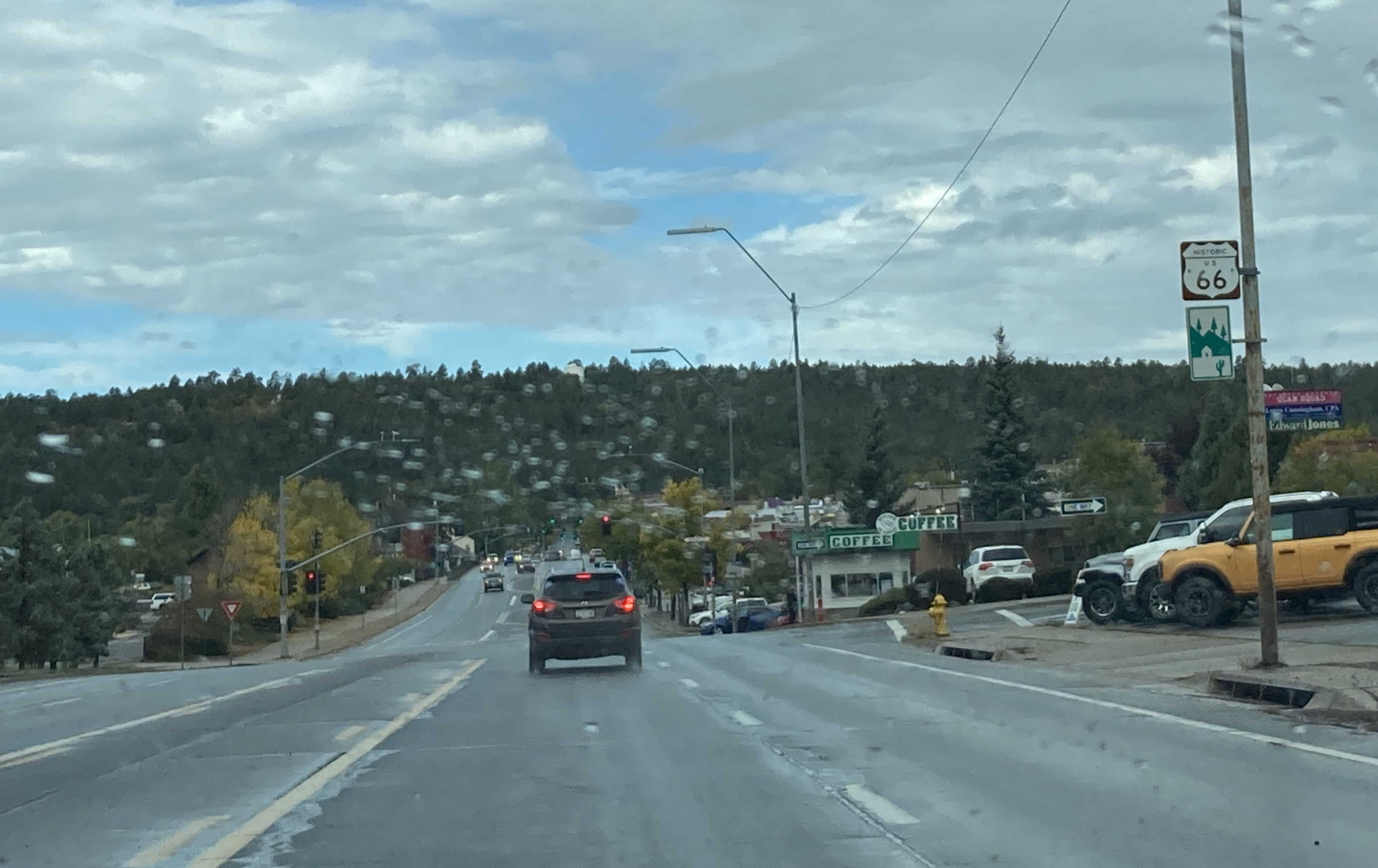
10/5/2021 - Route 66 (US 180) West @ San Francisco St - Flagstaff
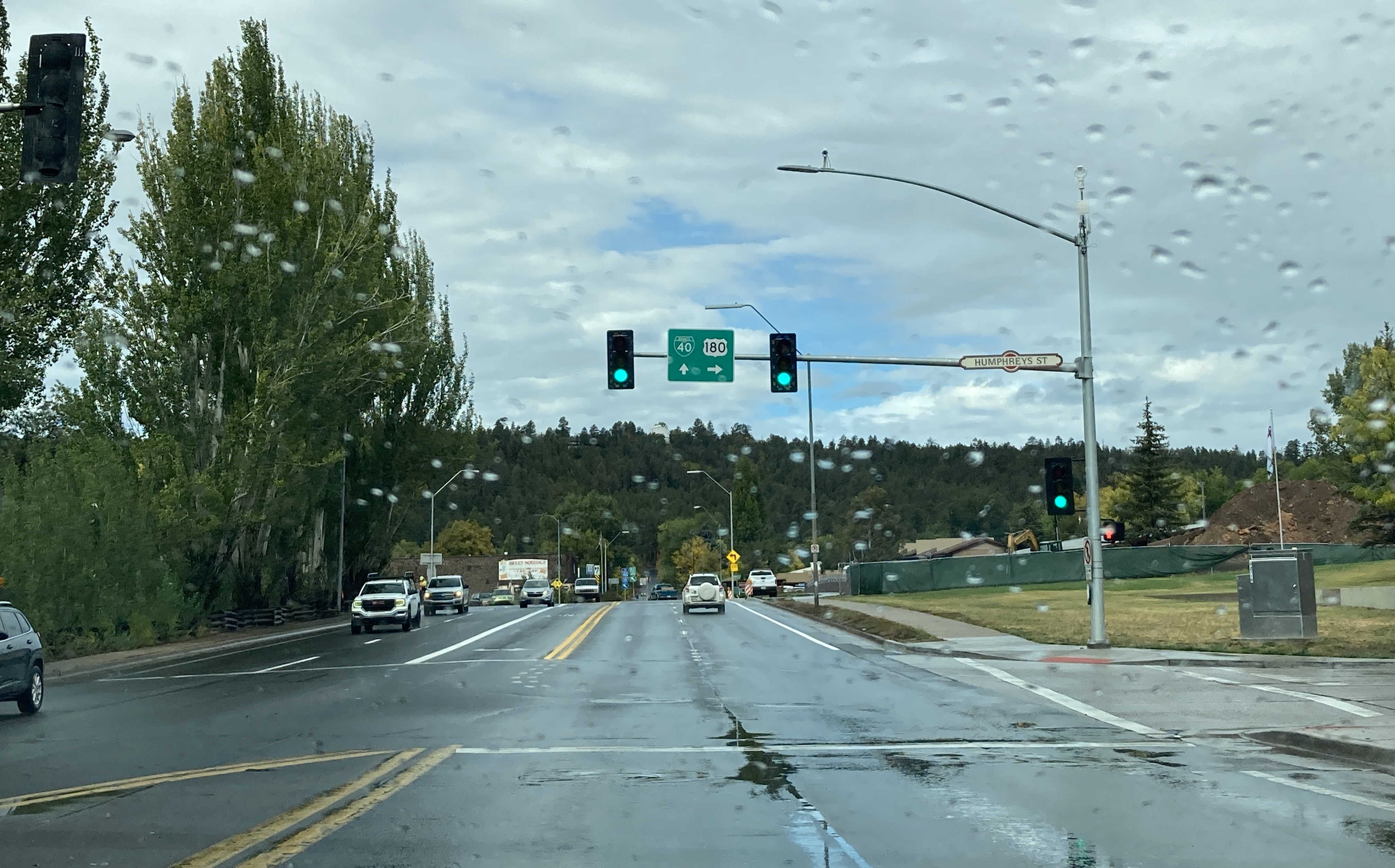
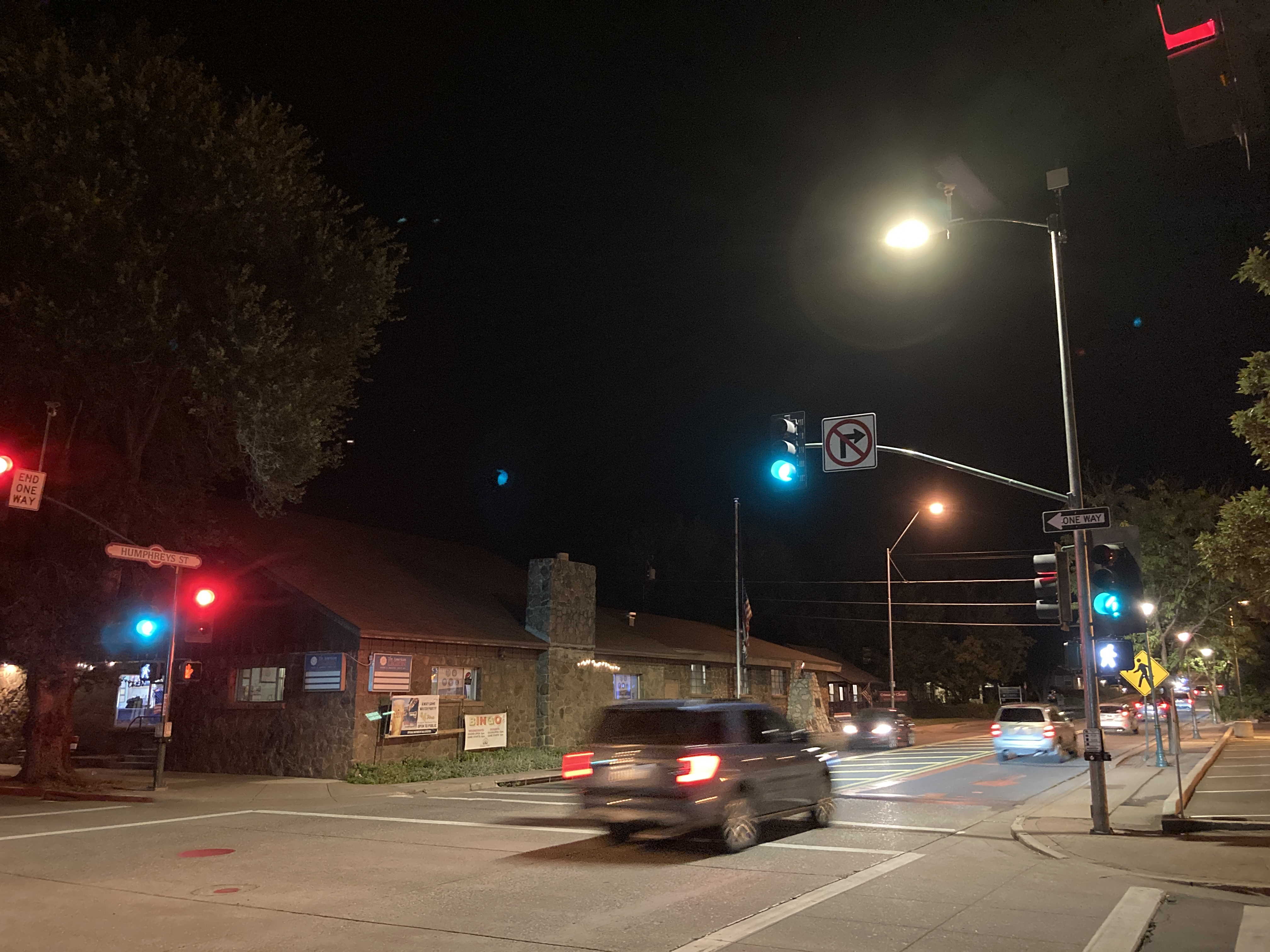
10/5/2021 - Where US 180 turns off of Route 66 @ Humphreys St - Flagstaff
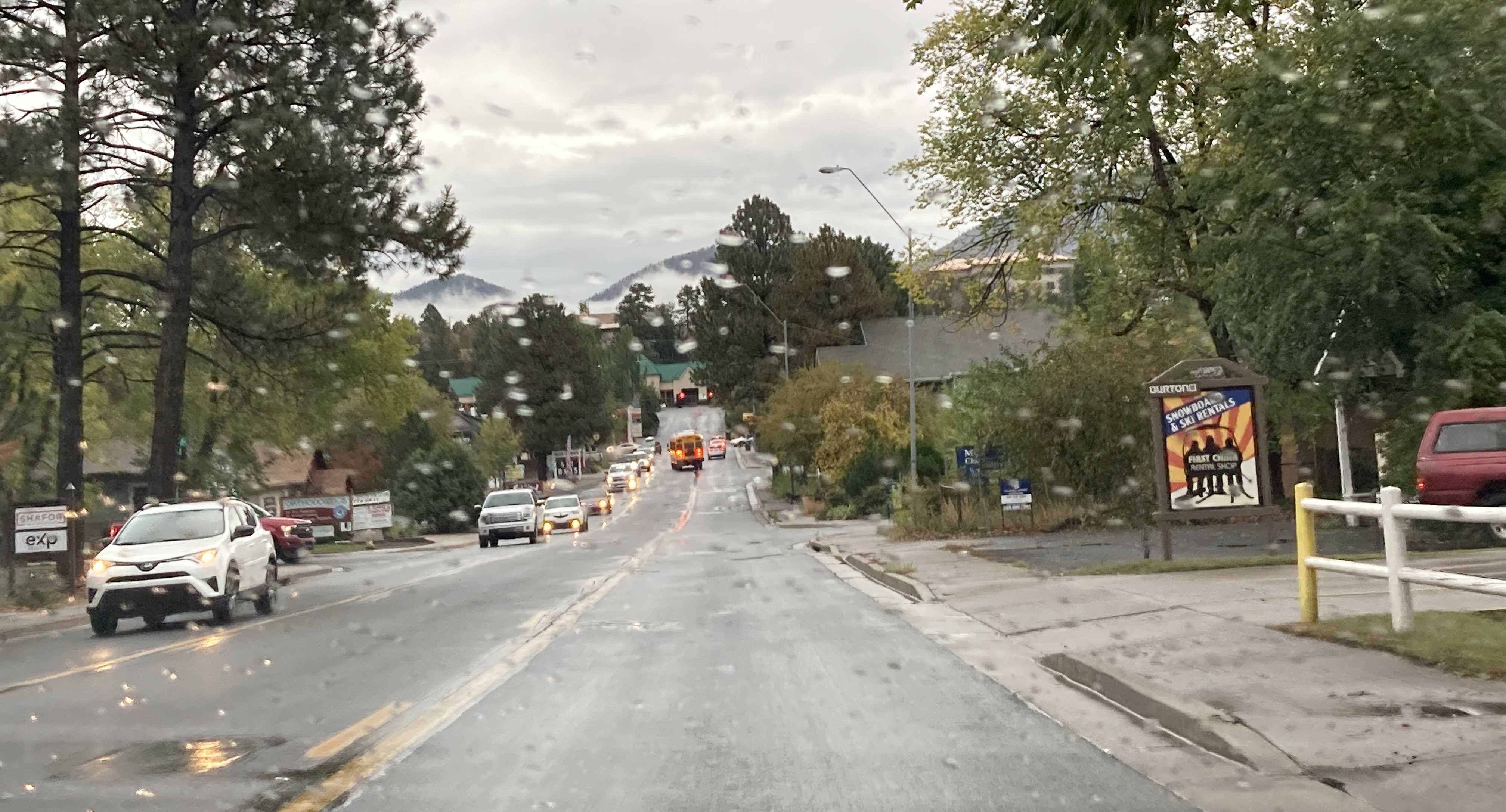
10/5/2021 - US 180 West (Humphreys St), north of Fine Ave - Flagstaff
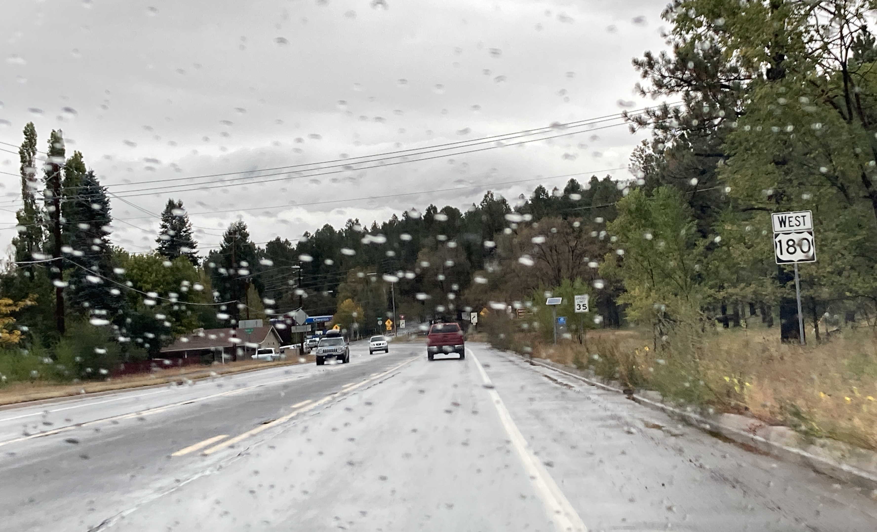
10/5/2021 - US 180 West, west of Humphreys St - Flagstaff
9/16/2022 - US 180 West (Humphreys St) @ Birch Ave - Flagstaff
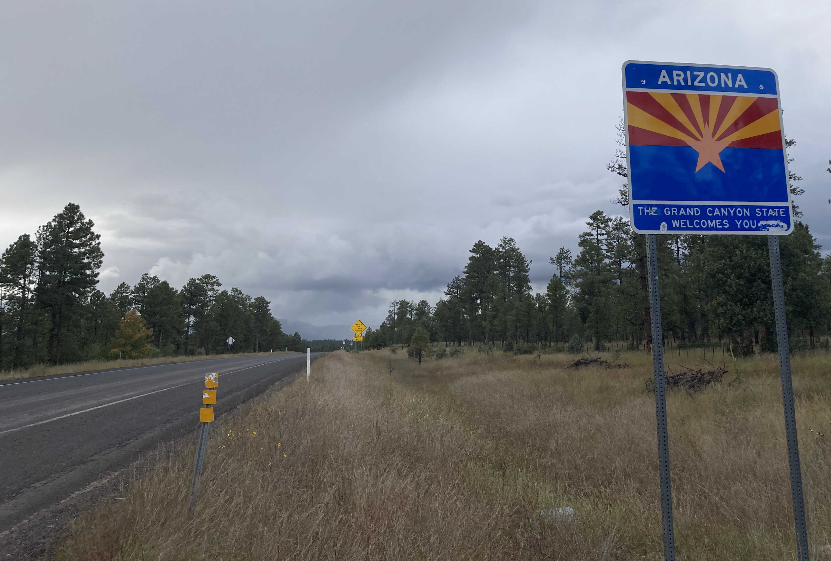
10/6/2022 - US 180 West, entering Arizona from New Mexico
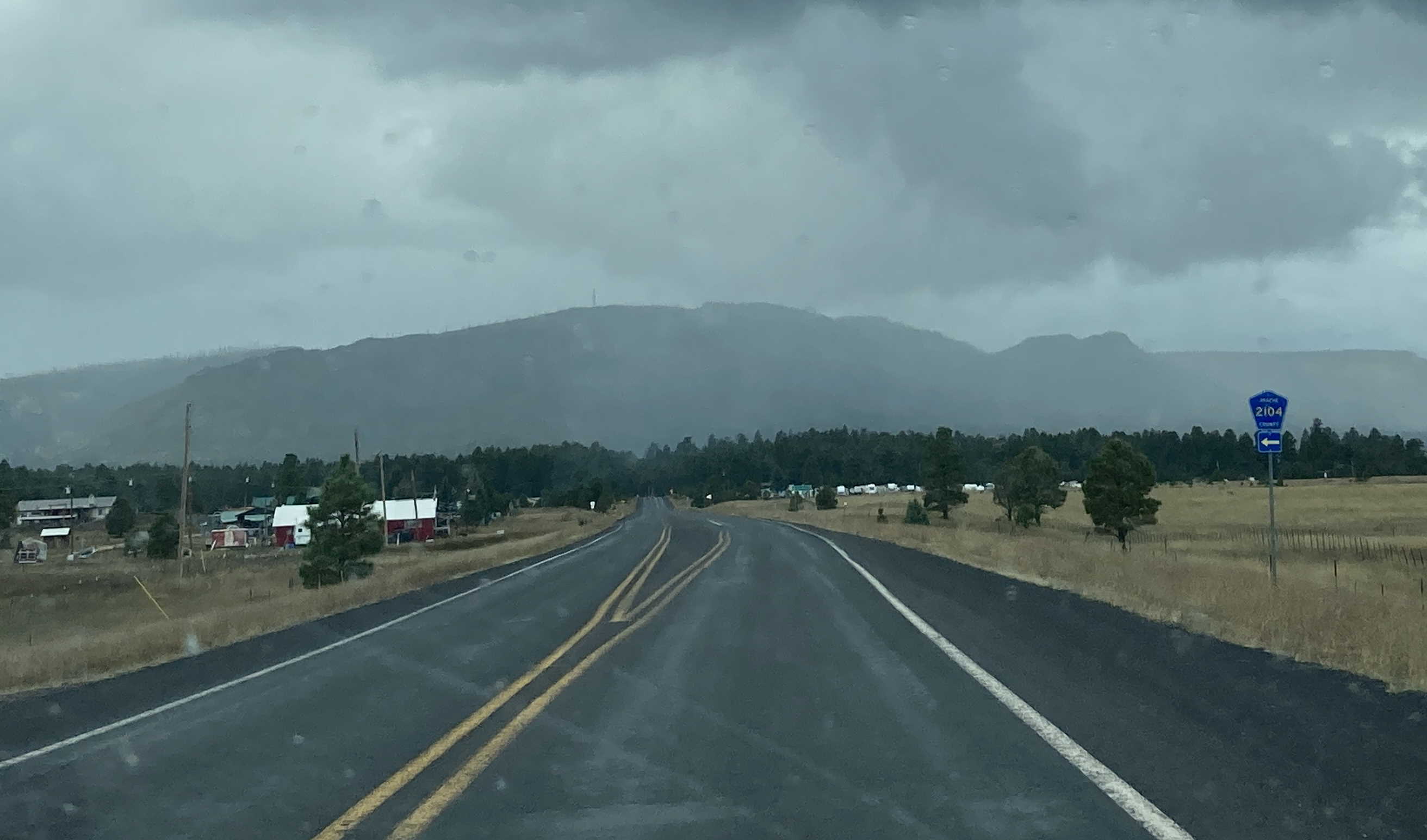
10/6/2022 - US 180 West @ Apache County Route 2104 - Alpine
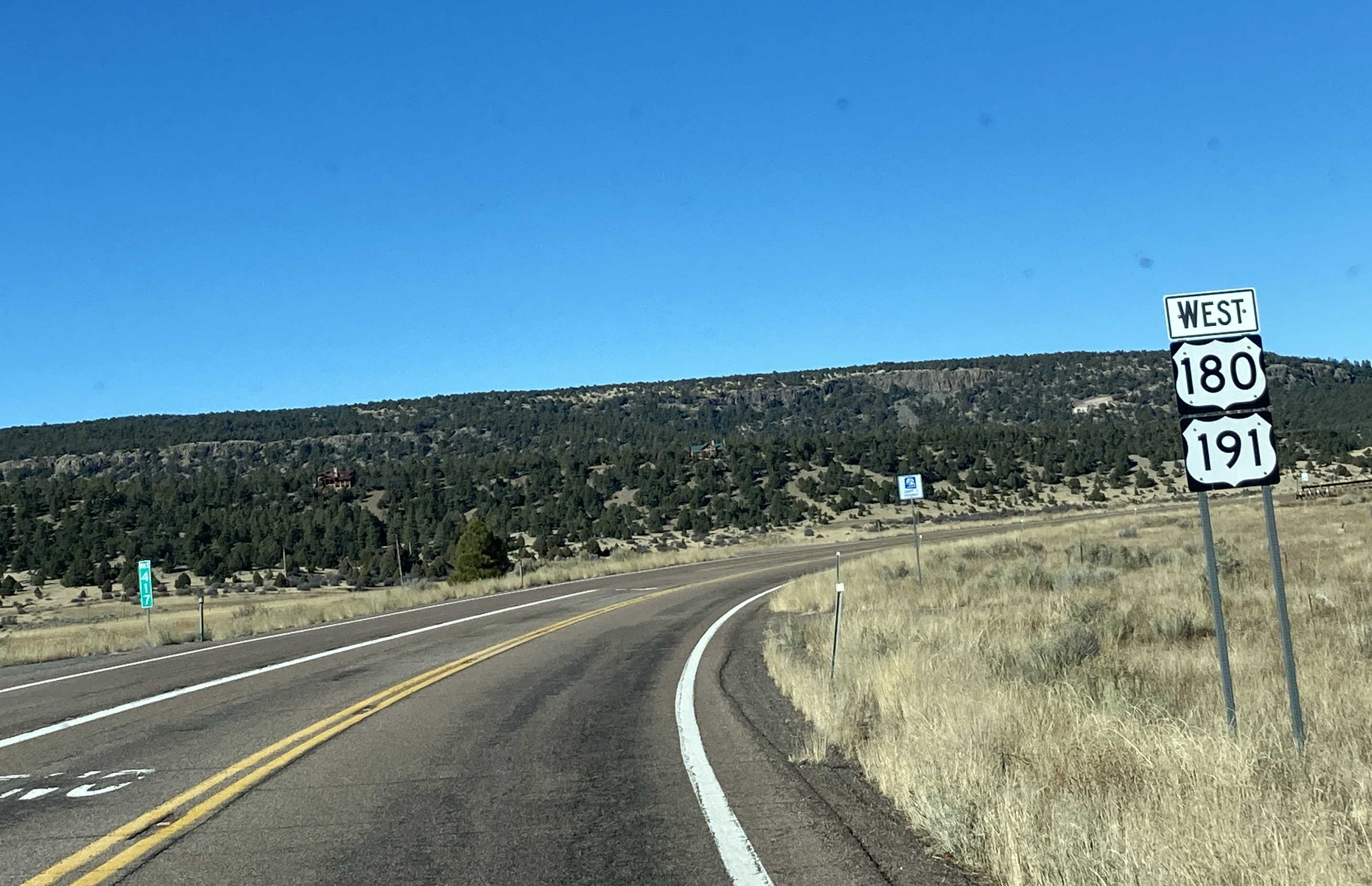
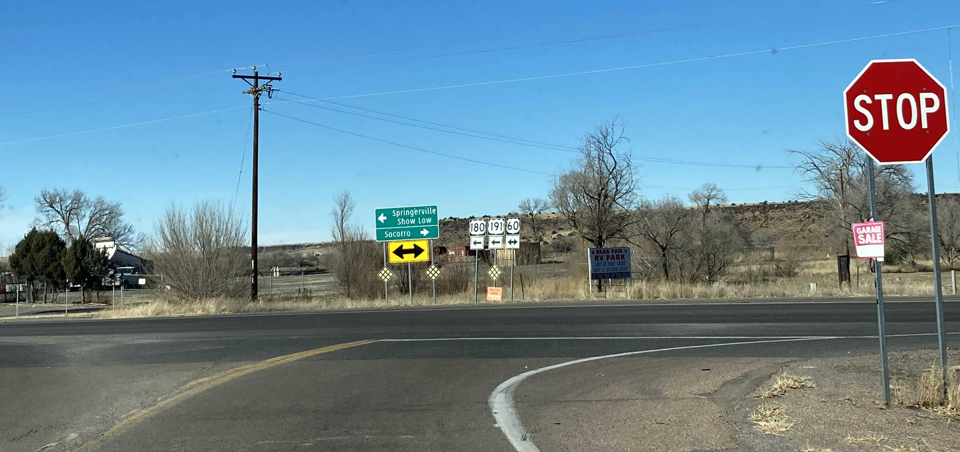
11/26/2022 - US 180 West/US 191 North @ Apache County Route 2108 - Nutrioso
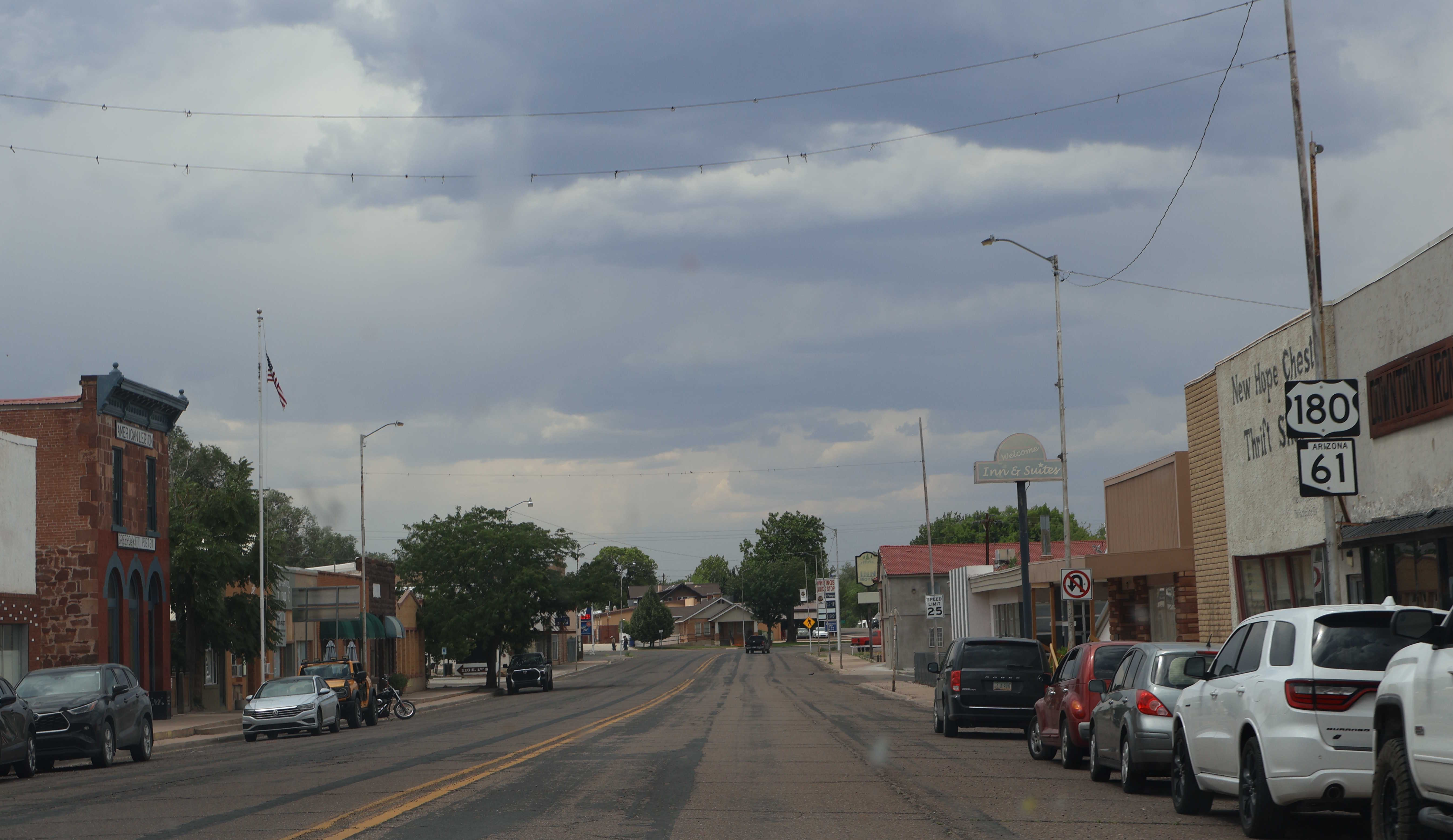
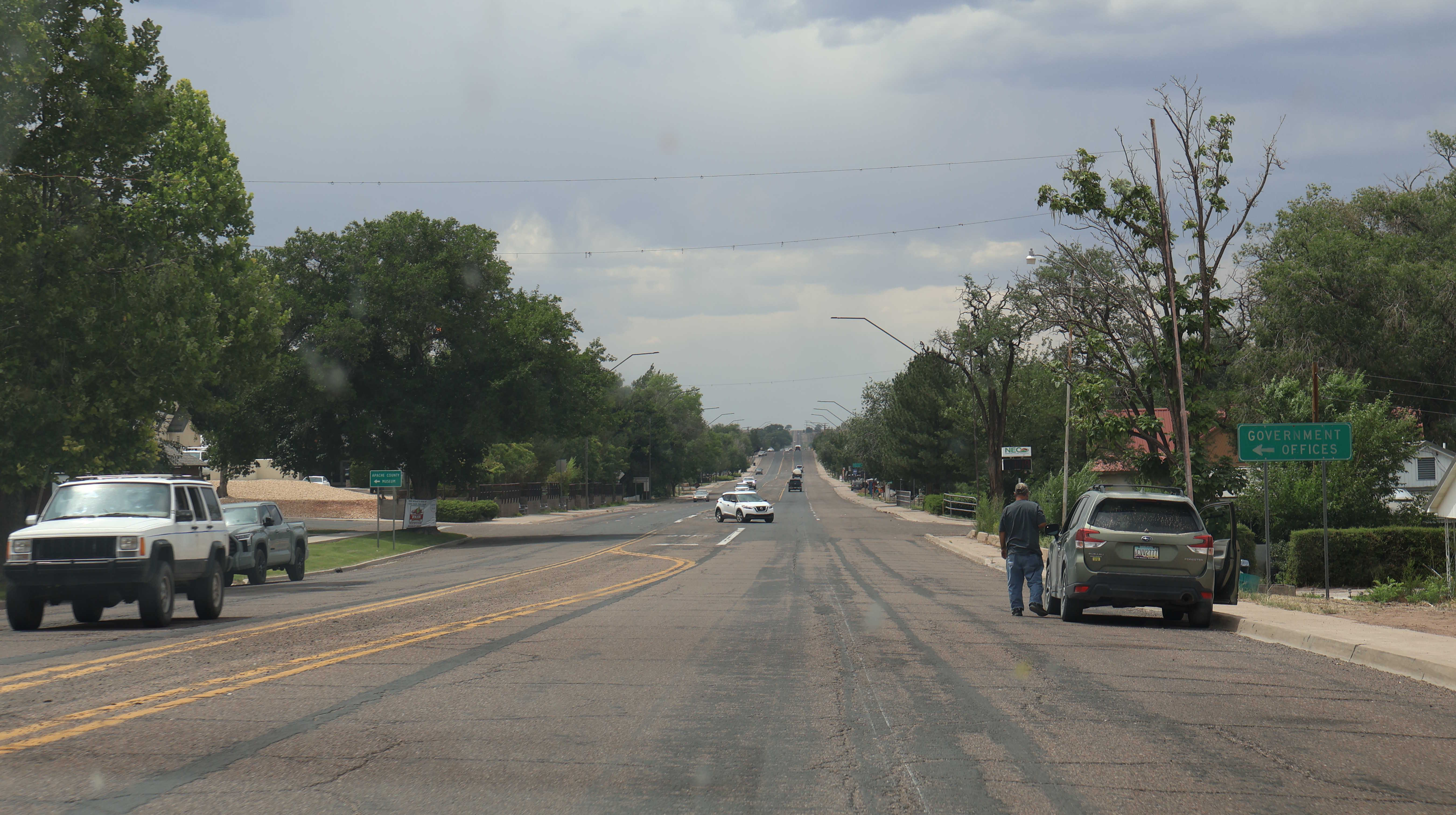
8/14/2025 - US 180/SR 61 South @ 1st West St - St. Johns
Page last updated: 8/14/2025