Interstate 10
In Arizona, Interstate 10 runs from the California border in Ehrenberg to the New Mexico border. Interstate 10 is one of the major cross-country Interstate highways as it allows people to smoothly travel from Los Angeles, CA to Jacksonville, FL. In Arizona, I-10 replaced many parts of US 60, US 80, AZ 84, AZ 85, and AZ 86. The last part of I-10 to be completed was the segment through Phoenix, which was finished in 1990.
Length: 2,460 miles in total, 392 miles in Arizona
Existed since: 1960
Current Route in Arizona: California state line in Ehrenberg to New Mexico state line east of San Simon
Current Route Nationally: Los Angeles, CA to Jacksonville, FL
Major Junctions: US 95, AZ 95, US 60, AZ 85, Loop 303, Loop 101, Loop 202, I-17, AZ 51, AZ 143, AZ 347, AZ 587, AZ 187, AZ 387, AZ 287, I-8, AZ 87, AZ 77, I-19, AZ 83, AZ 90, AZ 80, US 191, AZ 186
Cool Features
Interstate 10 through Phoenix was very controversial during the 1960s, 70s, and 80s. An original plan for I-10 that was proposed was an elevated freeway with giant helicoil interchanges at 3rd Ave and 3rd St to connect motorists to the freeway 100 feet in the air. This was voted down in 1973. You can view images of the interchange plans here.
The last segment of Interstate 10 to be completed nationwide was in Phoenix just north of Van Buren St on August 10, 1990.
Related Routes
Business Loop 10
There are Business Loops for I-10 in Quartzsite, Benson, Wilcox, Bowie, and San Simon. In Quartzsite, BL 10 runs from I-10 at Exit 17 on US 95, along Main St to Riggles Road where it will meet back up with I-10. In Benson, BL 10 runs along 4th St from Exit 303 at I-10 to Exit 306 at I-10. BL 10 in Wilcox runs along Haskell Ave from I-10 at Exit 336 to I-10 at Exit 344. BL 10 in Bowie runs along 6th St from I-10 at Exit 362 to I-10 at Exit 366. Lastly, BL 10 in San Simon runs along 6th St from I-10 at Exit 378 to I-10 at Exit 382. Additionally, there were also business loops for I-10 in Phoenix and Tucson. Phoenix's loop was decomissioned in 1990, when I-10 was completed. It used to connect the existing segments of I-10 while the segment through Downtown Phoenix was being built. In Tucson, BL 10 existed from 1972 to 2001. It used to follow the Benson Highway from I-10 at Exit 262 to I-10 at Exit 267.
Business Spur 10
From 1969 to 1999, there was a 0.6 mile business spur of I-10 in Benson. It ran from I-10 to 4th Street along Ocotillo Road, west of downtown Benson.
Pictures
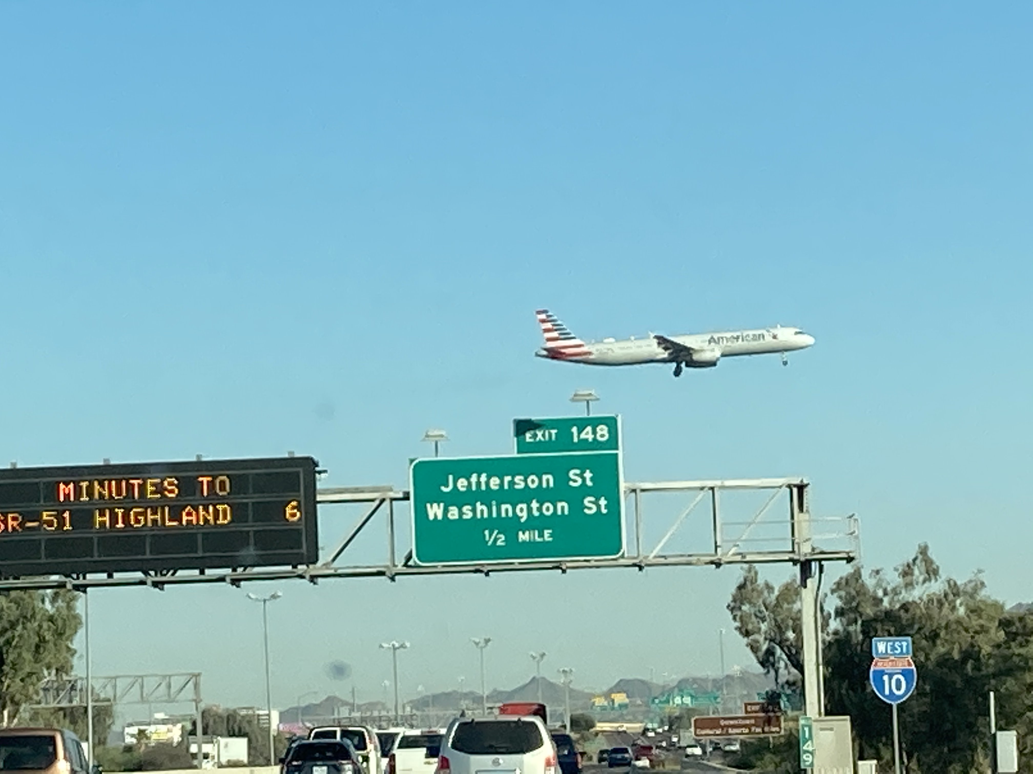
Plane landing at Sky Harbor Airport
11/27/2020 - Interstate 10 West @ Buckeye Rd
The new South Mountain Freeway interchange
6/25/2021 - Interstate 10 West @ Loop 202
I-10 entering Quartzsite
6/25/2021 - Interstate 10 West @ Mile Marker 25
I-10 entering Arizona from California
6/26/2021 - Interstate 10 East @ Exit 1
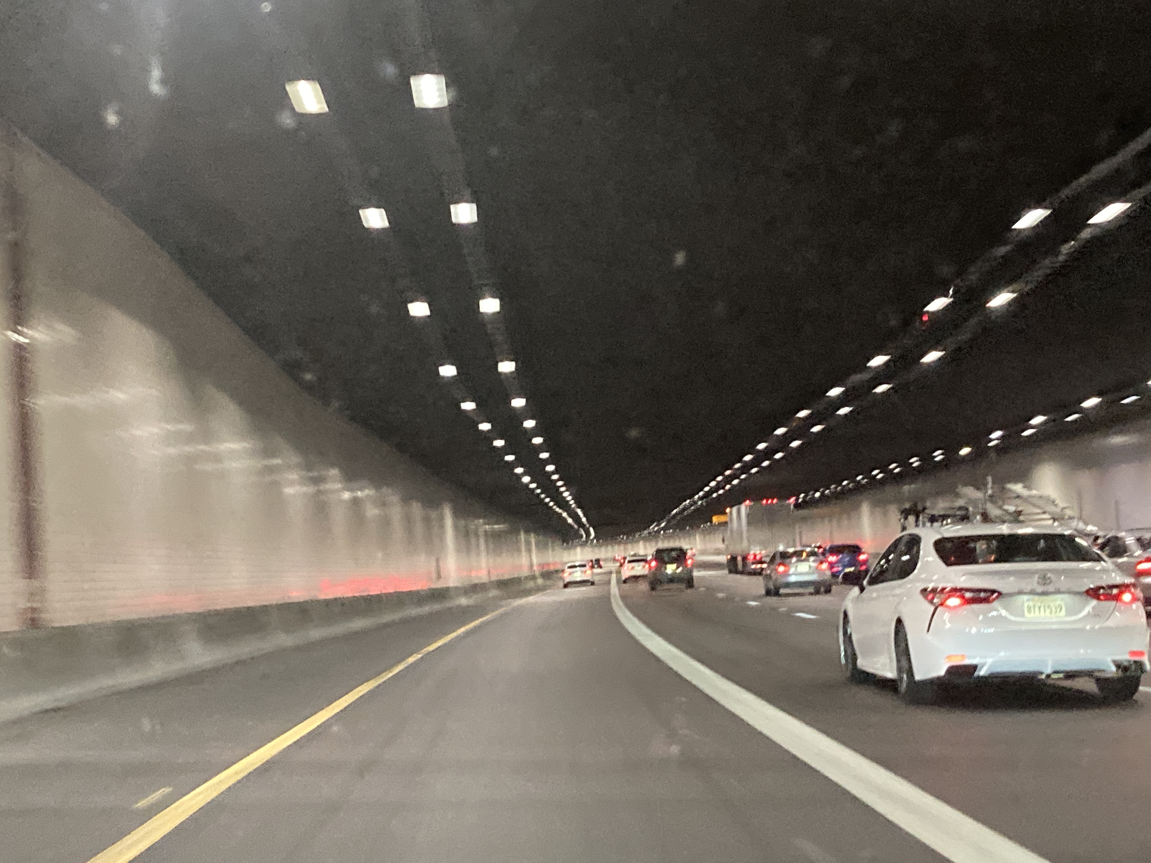
6/26/2021 - Interstate 10 East in the Deck Park Tunnel in Downtown Phoenix
7/16/2021 - Cottonwood Lane overlooking I-10, facing south, in Casa Grande
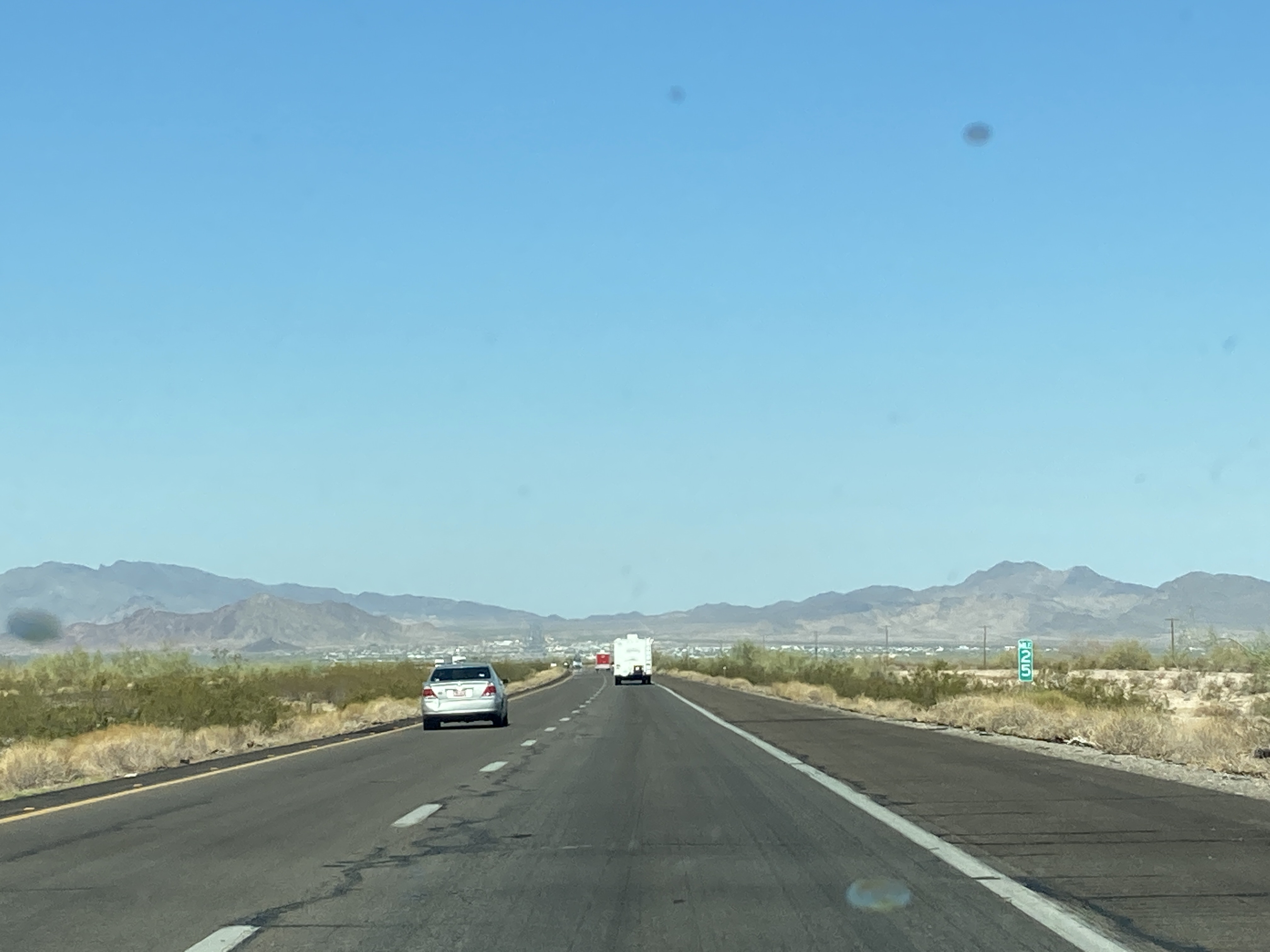
9/18/2021 - Interstate 10 East @ Twin Peaks Rd in Marana
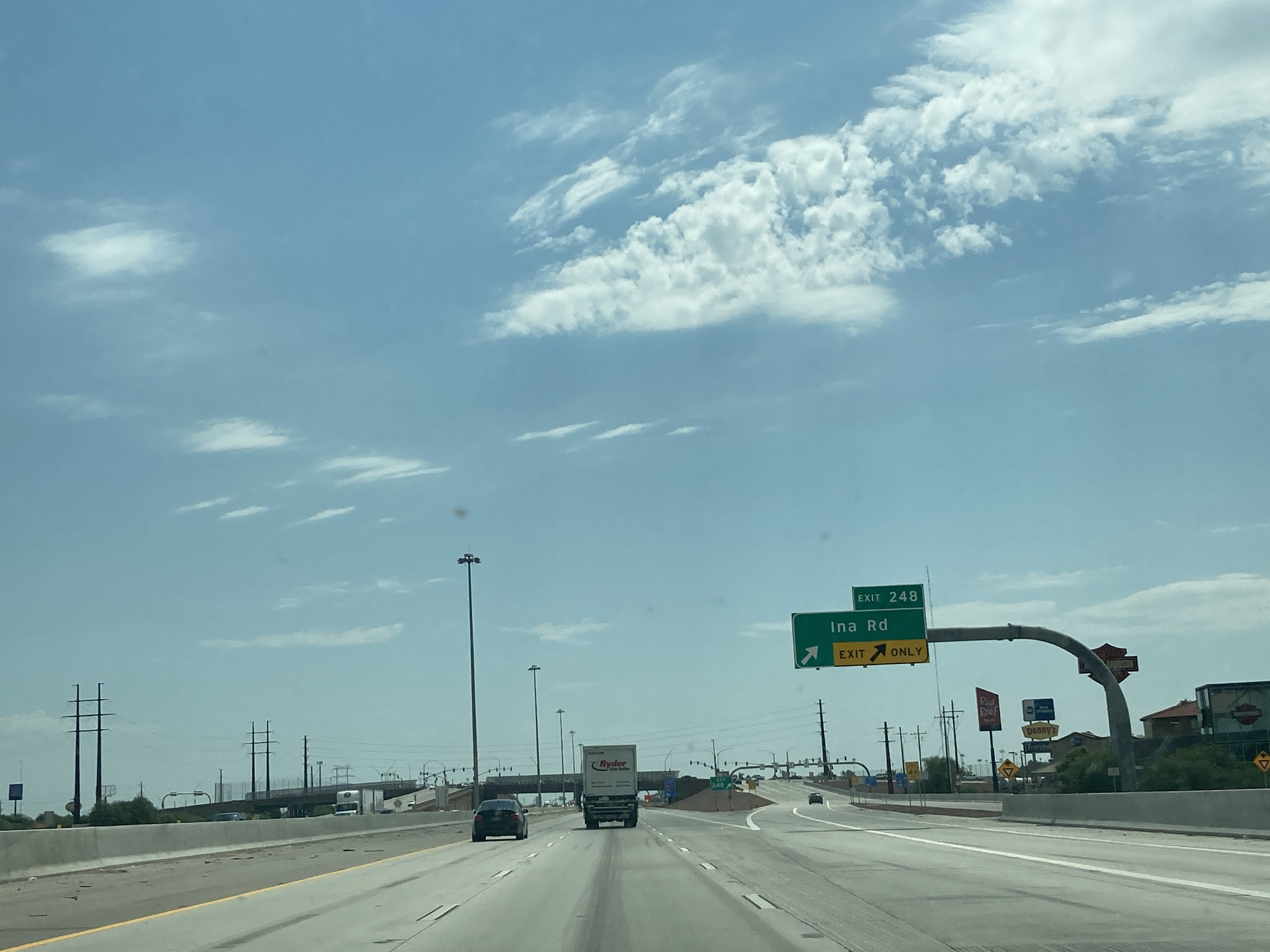
9/18/2021 - Interstate 10 East @ Ina Rd exit in Marana
9/18/2021 - Interstate 10 West @ Picacho Peak Rd
12/29/2022 - Interstate 10 West @ 99th Ave - Phoenix
12/29/2022 - Interstate 10 West @ Verrado Way - Buckeye
12/29/2022 - Interstate 10 West, east of Hassayampa River
6/12/2023 - Interstate 10 East, south of Orange Grove Rd - Marana
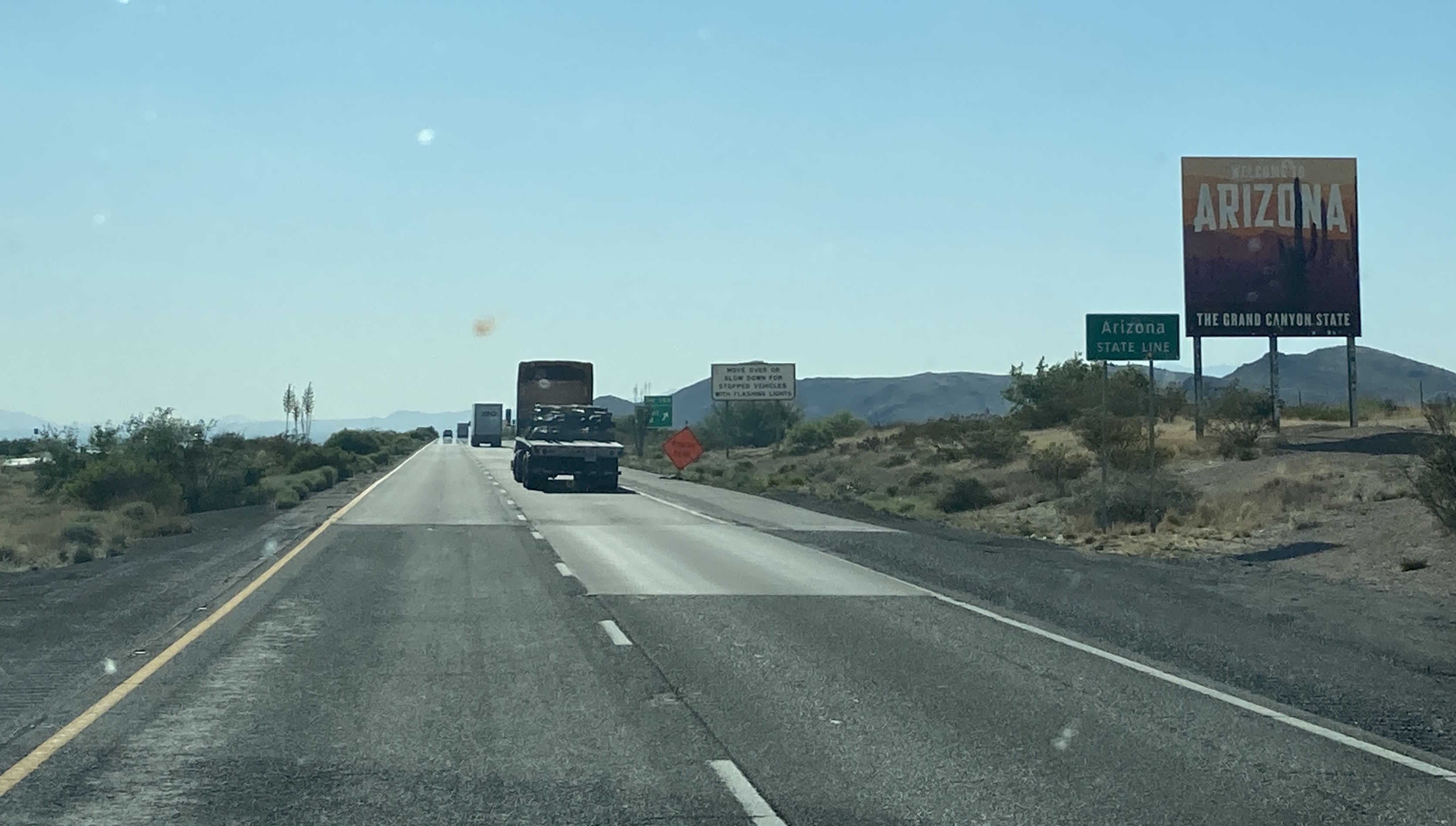
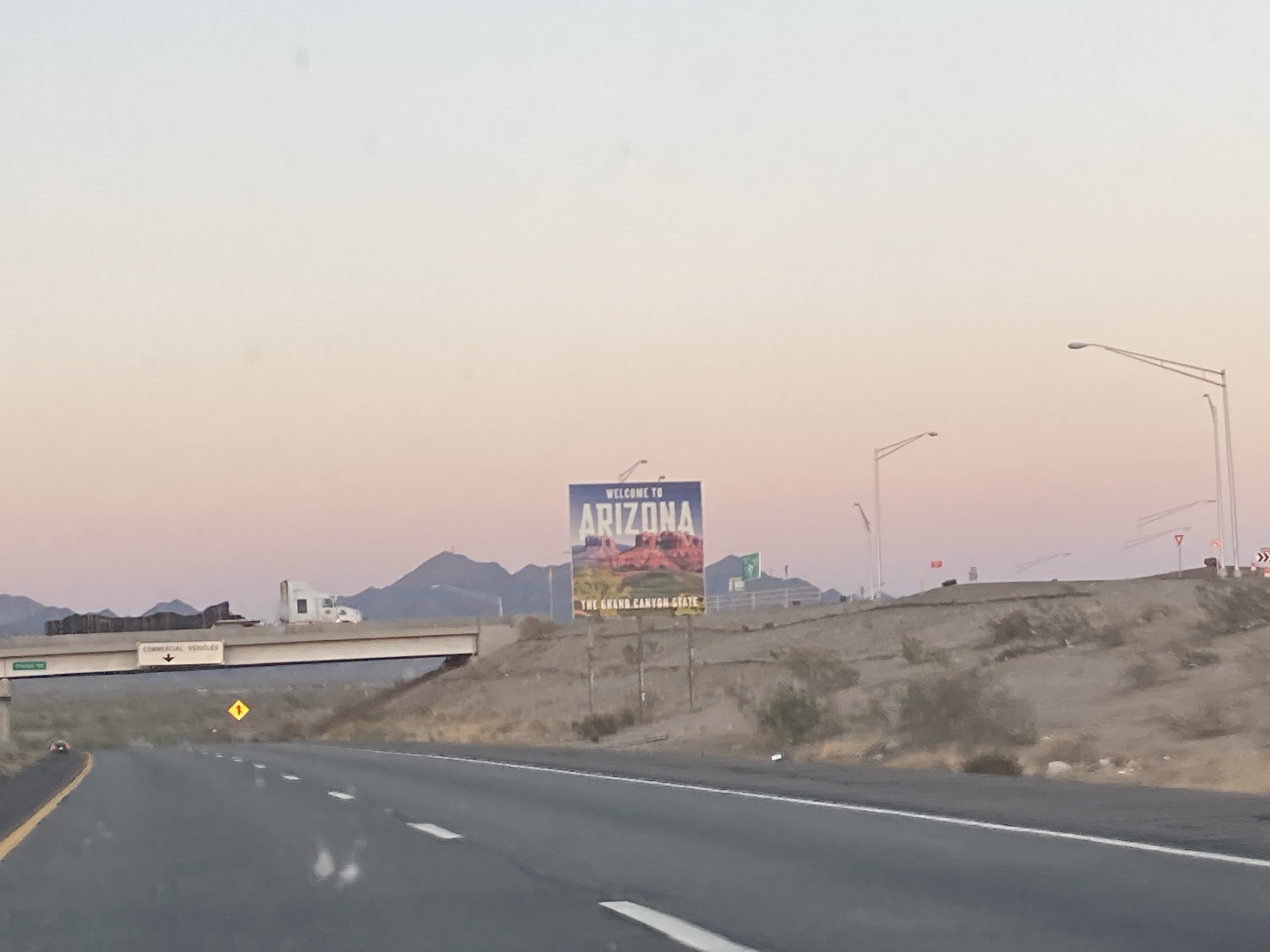
6/12/2023 - Interstate 10 West, entering Arizona from New Mexico
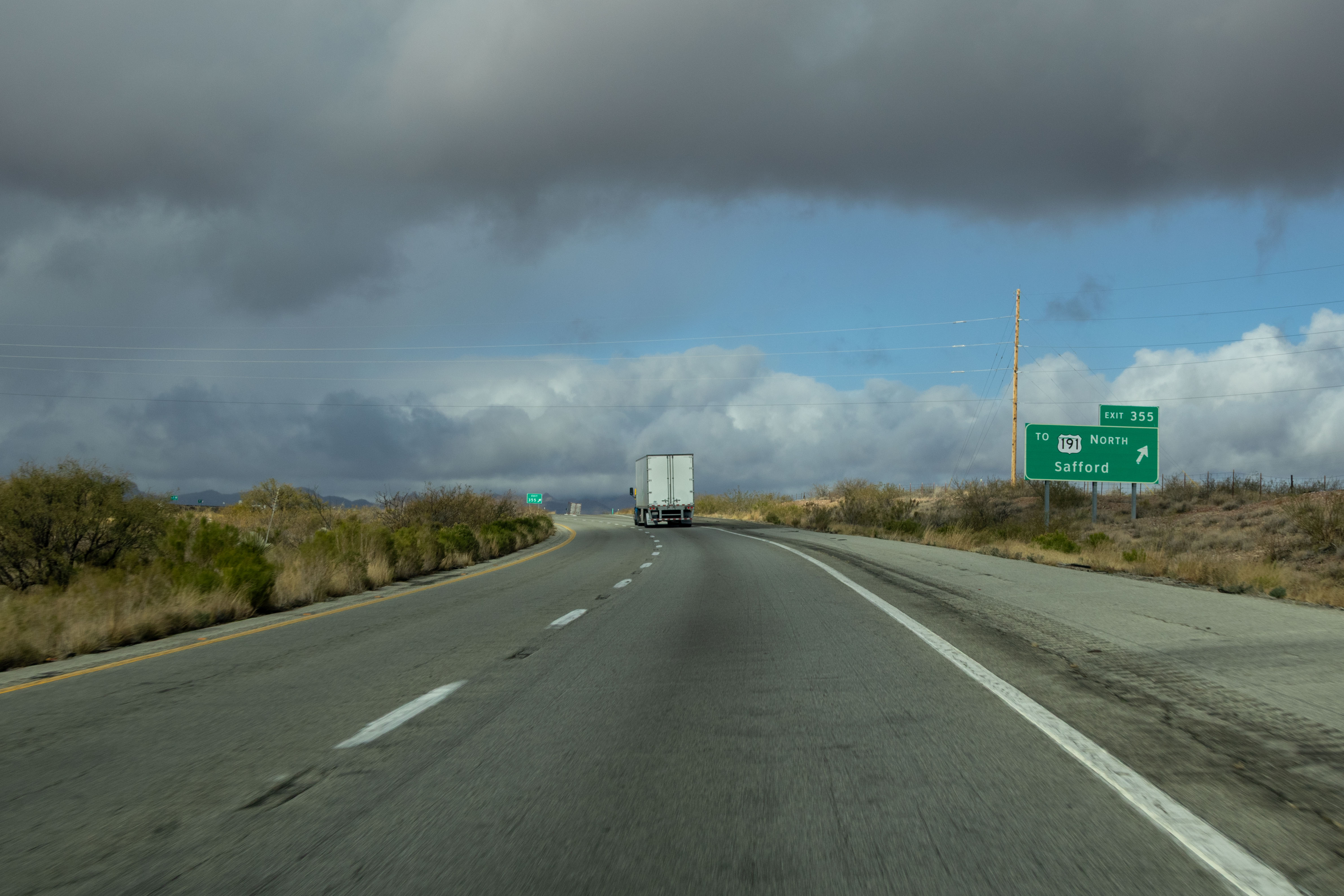
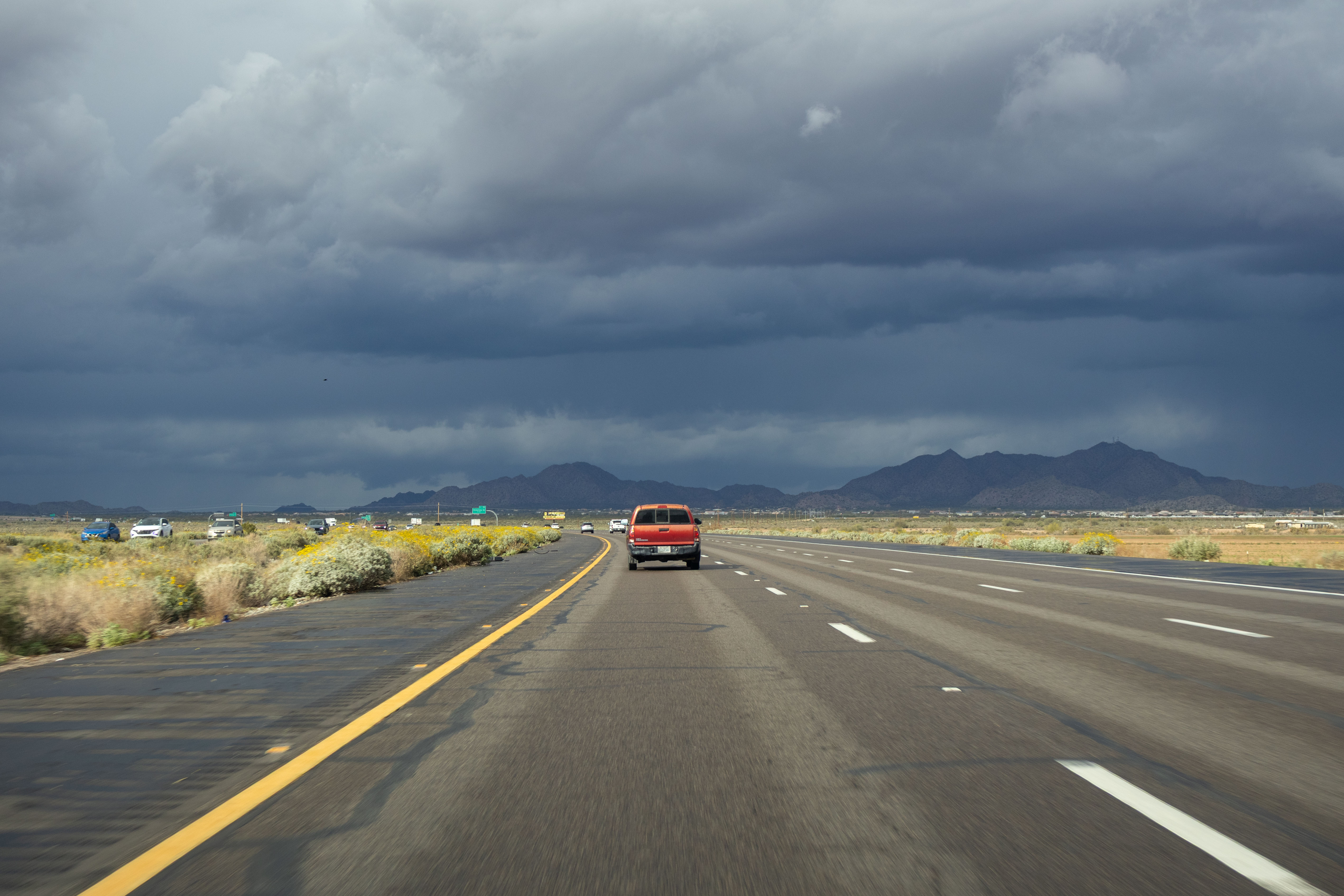
6/12/2023 - Interstate 10 West @ US 191 South
6/13/2023 - Interstate 10 West @ Park Ave - Tucson
6/13/2023 - Interstate 10 West Frontage Rd, north of Ruthrauff Rd - Tucson
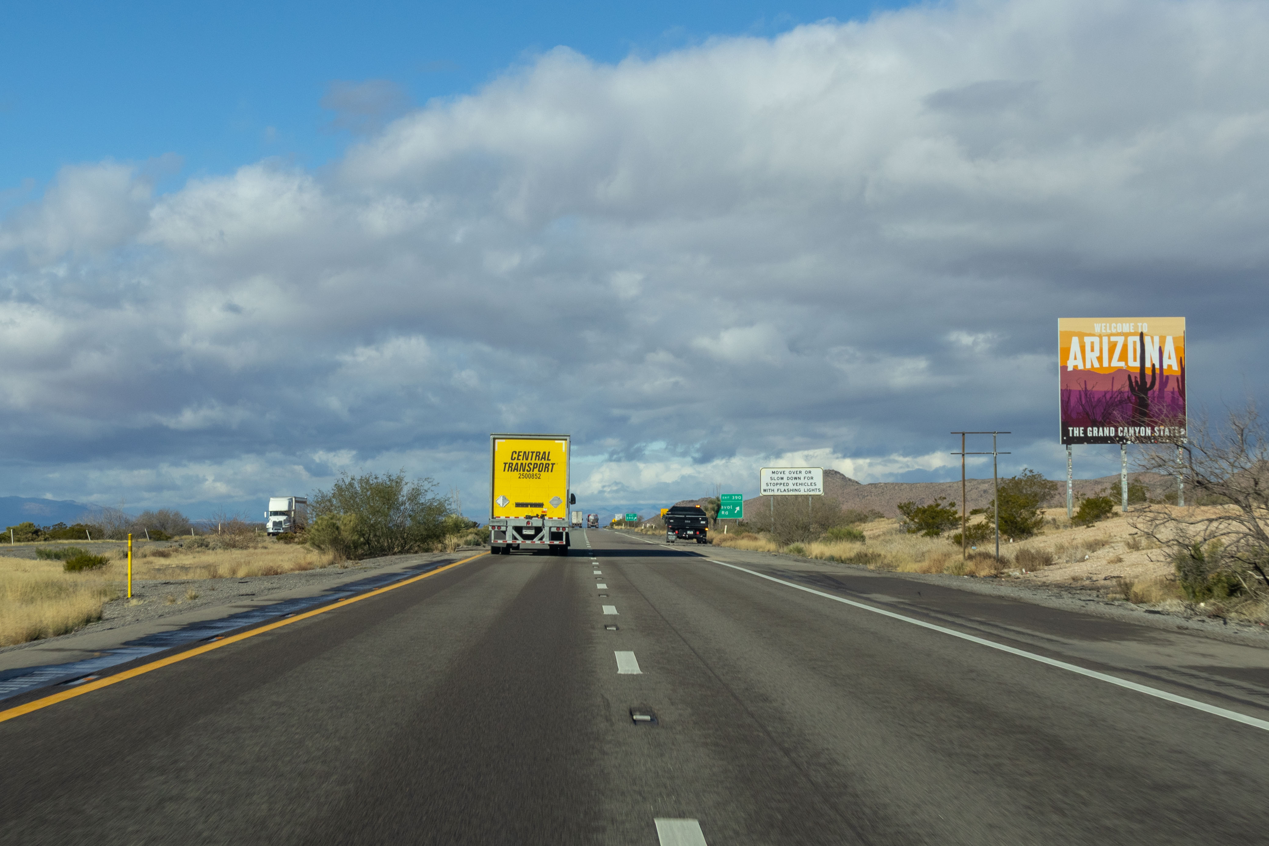
1/8/2026 - Interstate 10 West, entering Arizona from New Mexico
1/8/2026 - Interstate 10 West @ Page Ranch Rd (US 191Y) exit
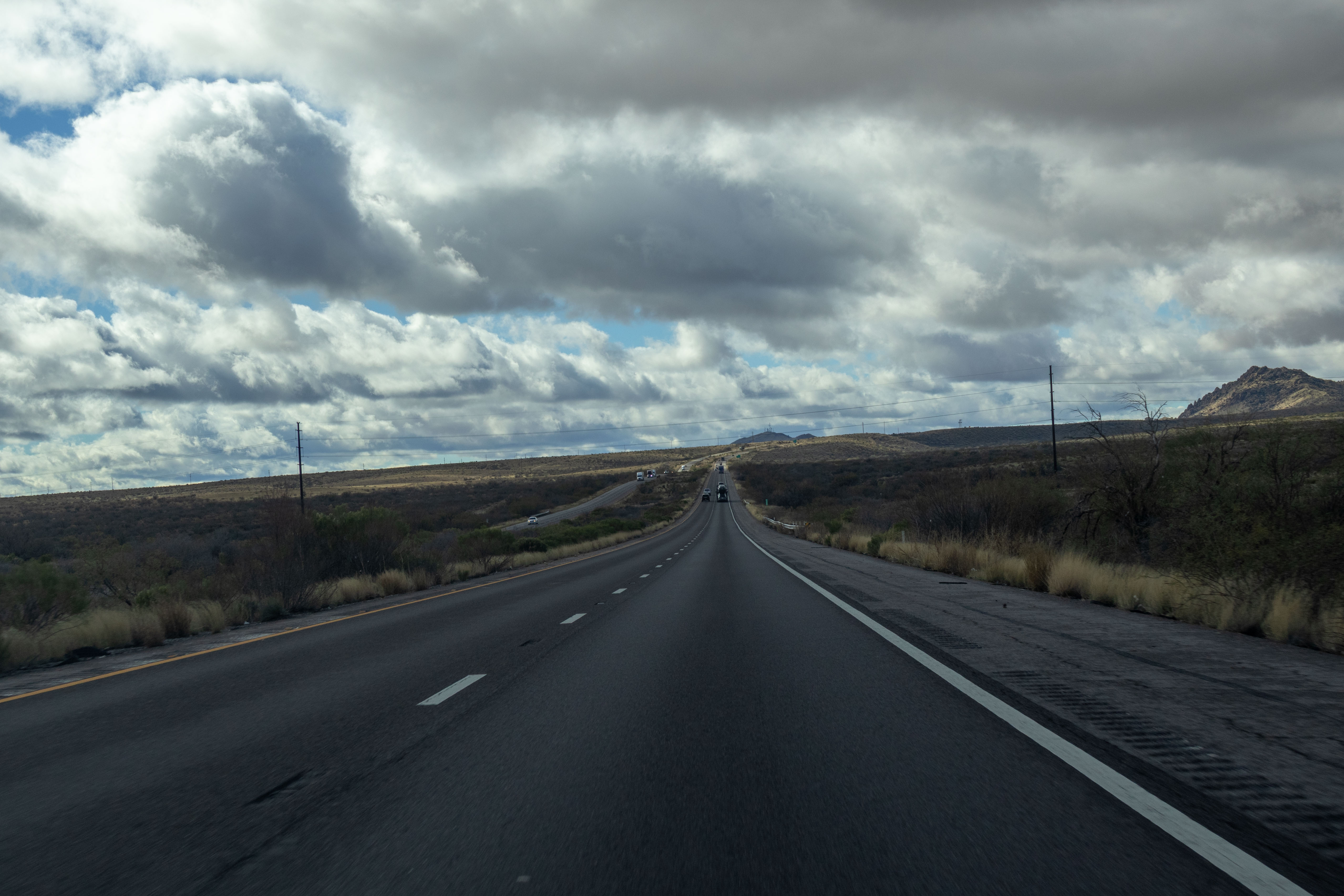
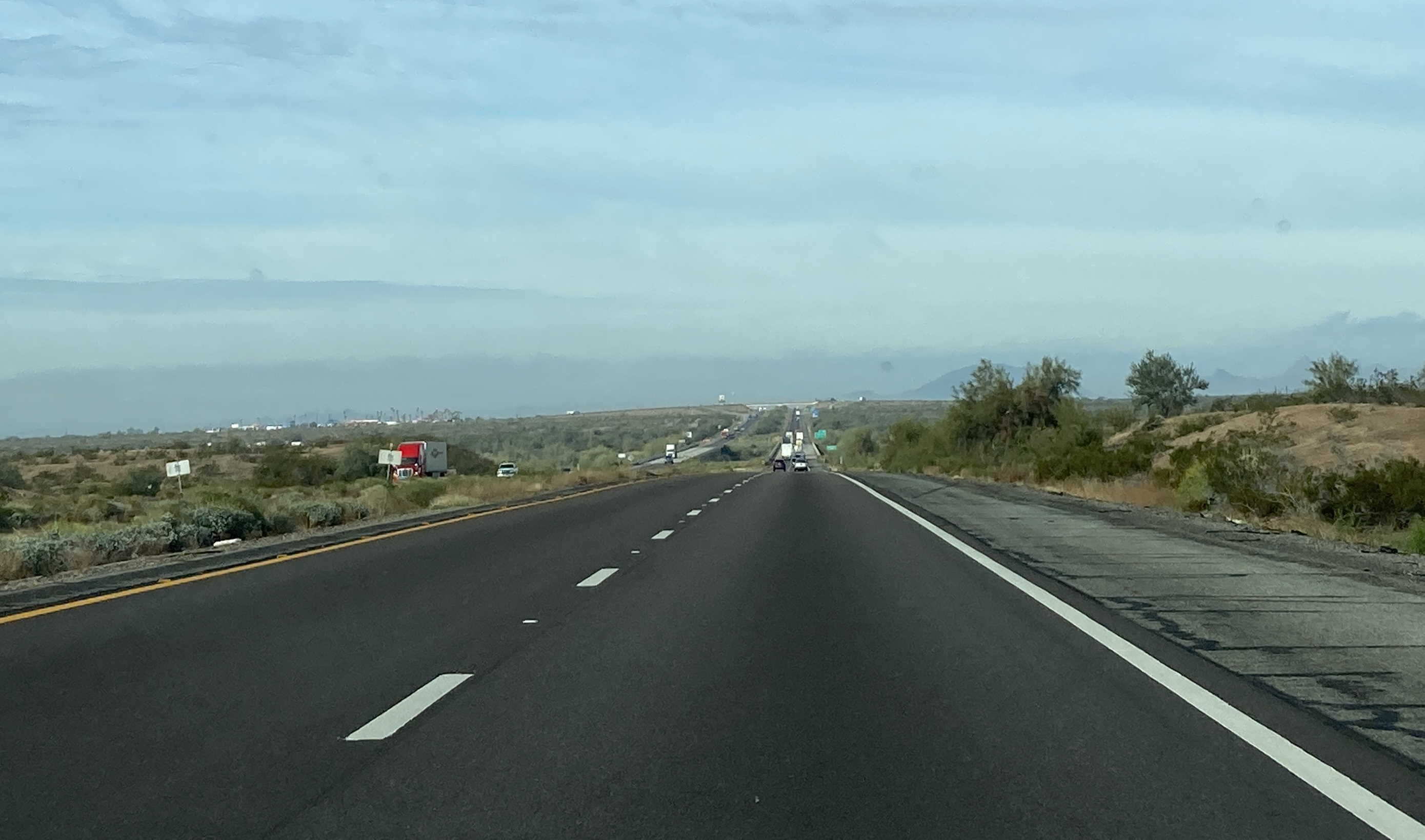
1/8/2026 - Interstate 10 West, east of Mile 325
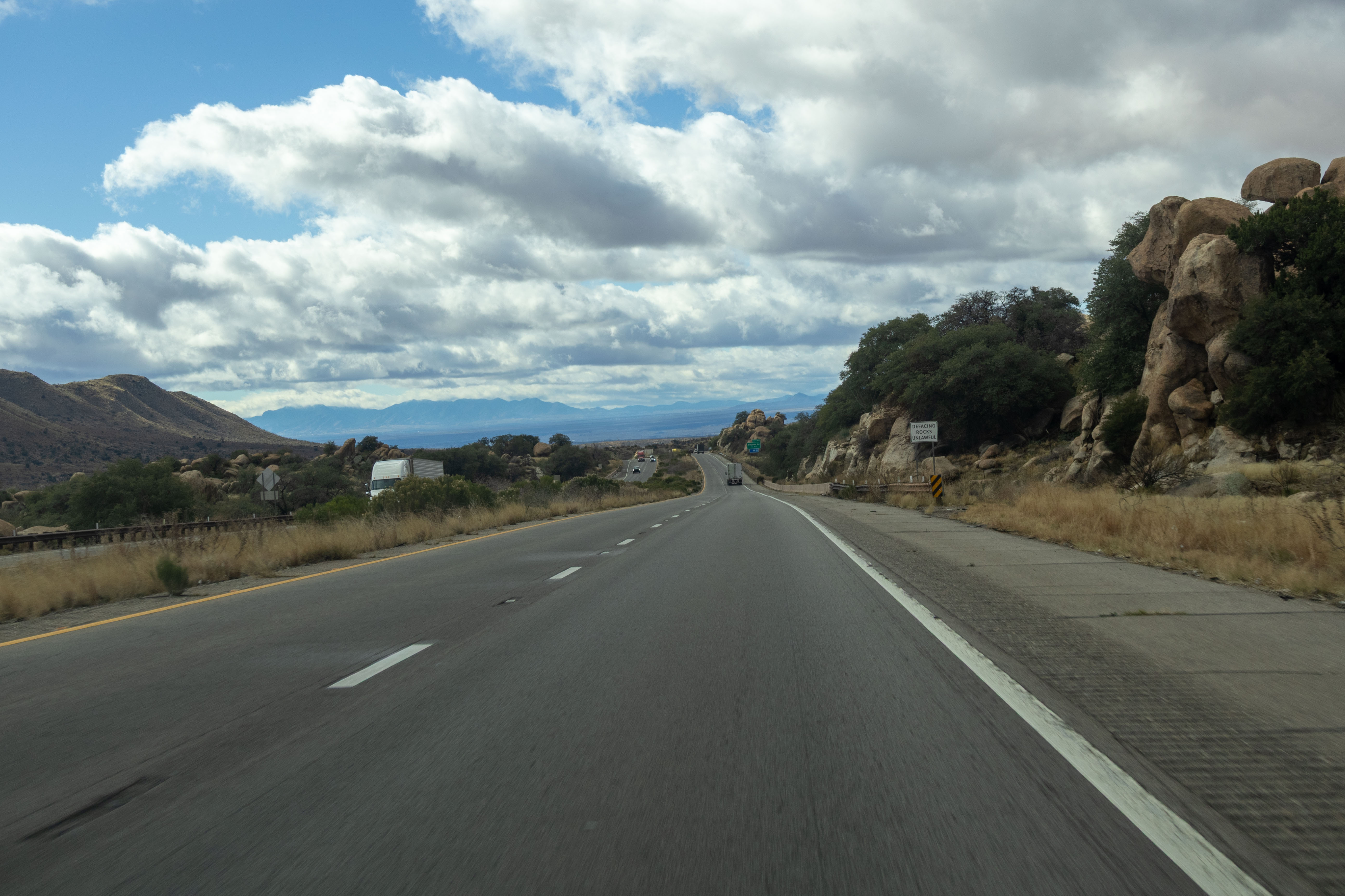
1/8/2026 - Interstate 10 West, east of Dragoon Rd - Texas Canyon
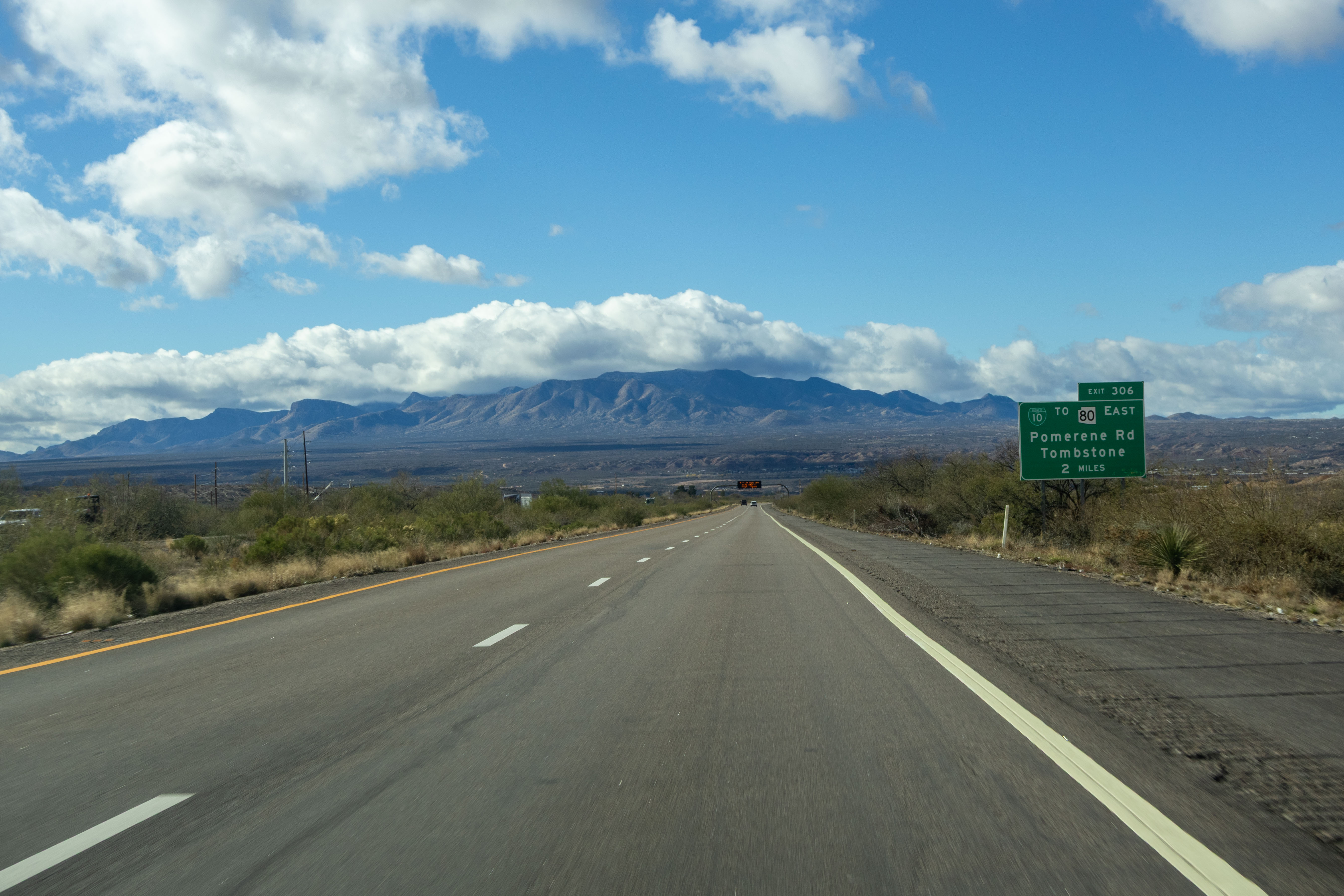
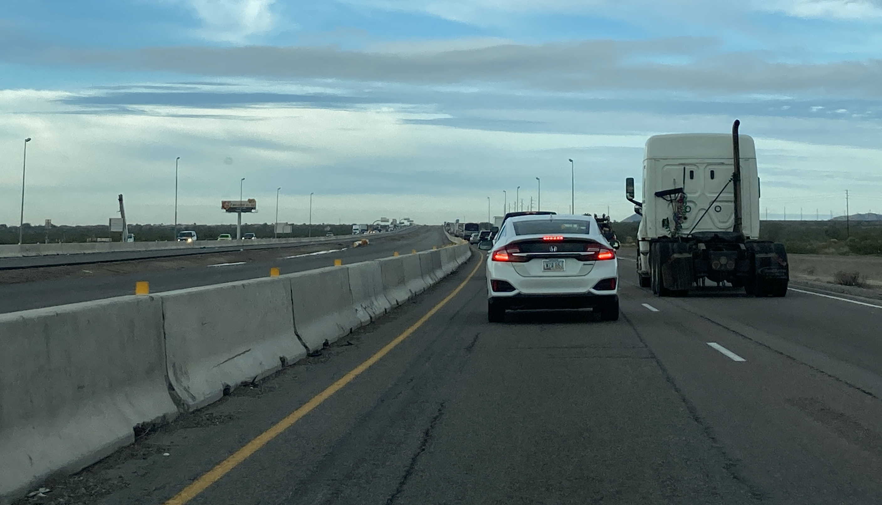
1/8/2026 - Interstate 10 West, east of Pomerene Rd (BL 10)
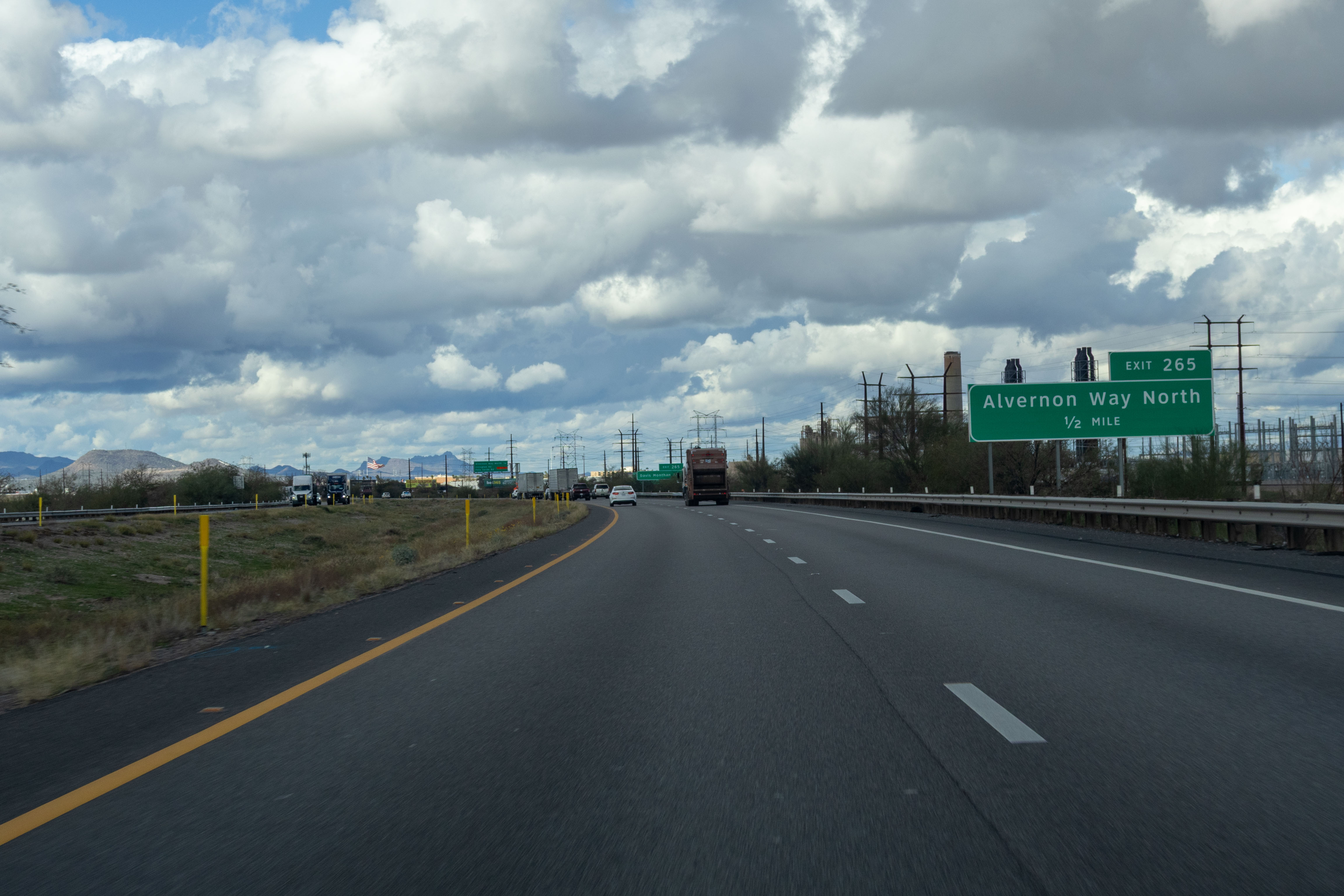
1/8/2026 - Interstate 10 West, east of Alvernon Way
1/8/2026 - Interstate 10 West @ Sunset Links Rd - Tucson
1/8/2026 - Interstate 10 West @ Exit 226 - Red Rock
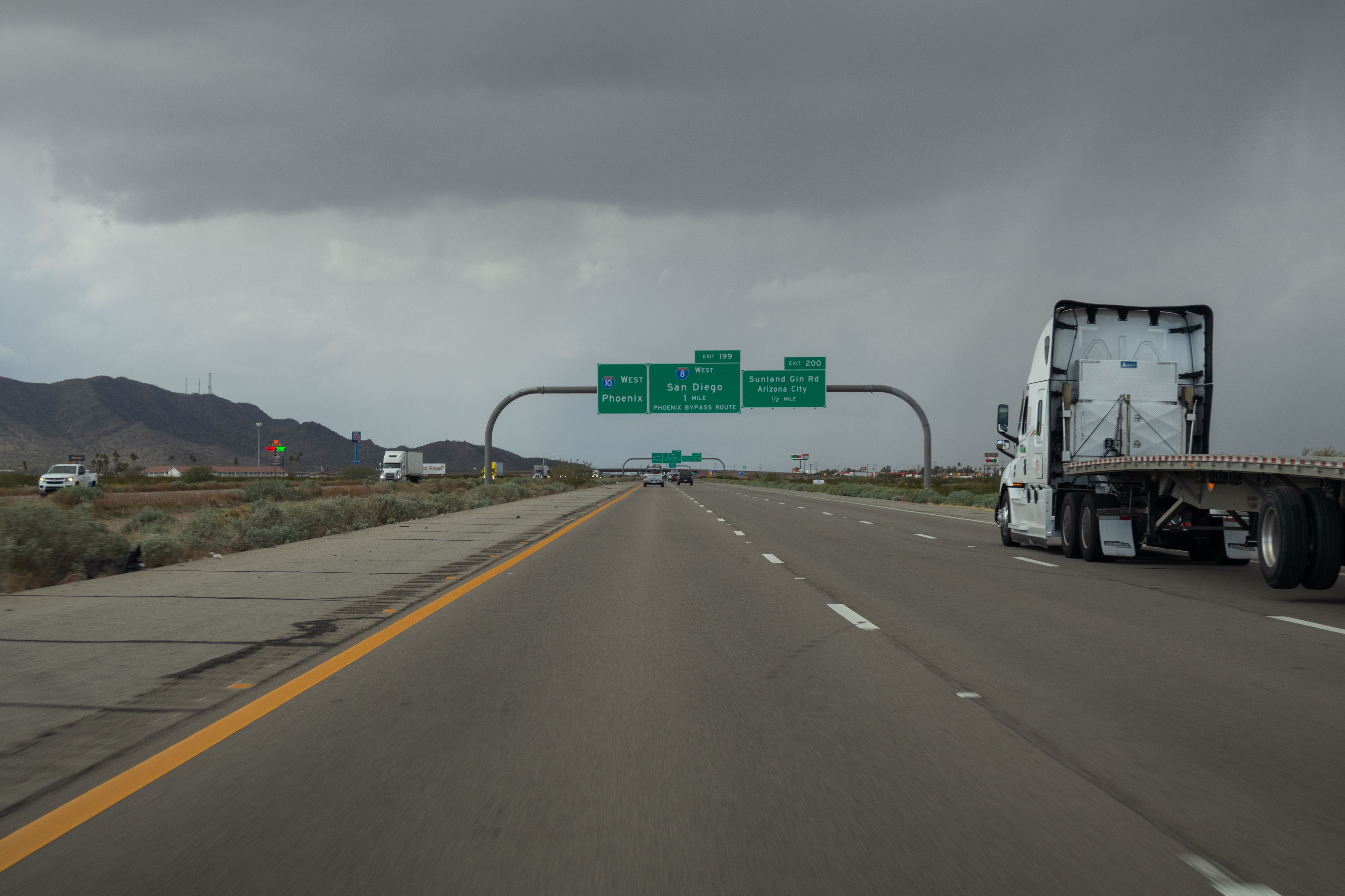
1/8/2026 - Interstate 10 West, east of Sunland Gin Rd
1/8/2026 - Interstate 10 West, south of McCartney Rd - Casa Grande
Videos
1/22/2024 - Interstate 10 between US 60 and 24th St, west and east
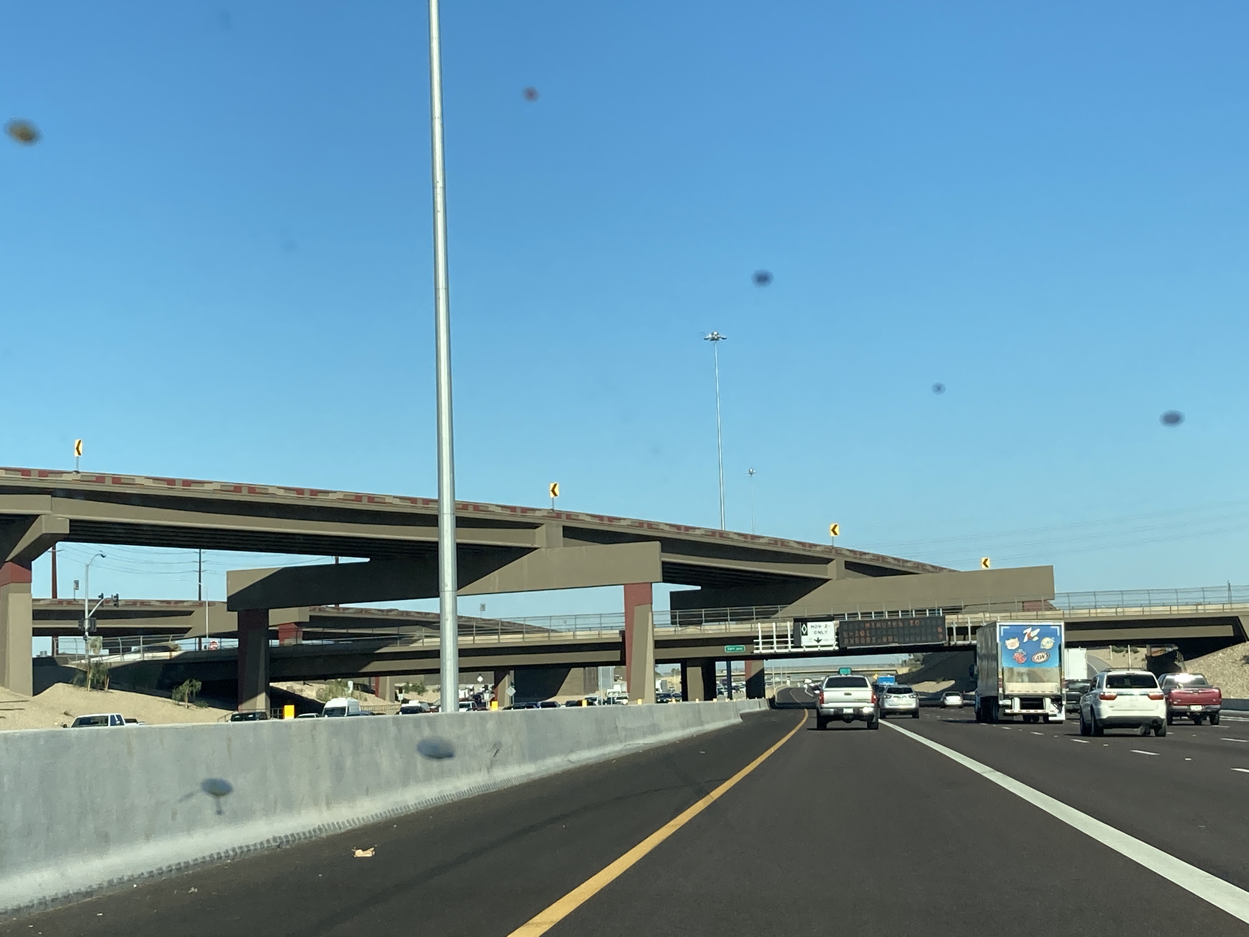
8/22/2024 - Interstate 10 West Collector-Distributor Road from Baseline Rd to 40th St
11/17/2024 - Interstate 10 East Collector-Distributor Road from Broadway Rd to Baseline Rd
Exit List
| Exit/ Mile | Eastbound Exits Read down | Westbound Exits Read up |
|---|---|---|
| 0 | California State Line Colorado River | |
| 1 | Ehrenberg Parker | Ehrenberg Parker |
| 3 | Arizona Port of Entry | |
| 4 | Rest Area | Rest Area |
| 5 | Tom Wells Rd | Tom Wells Rd |
| 11 | Dome Rock Rd | Dome Rock Rd |
| 17 | Quartzsite Parker Yuma | Quartzsite |
| 19 | Quartzsite | Quartzsite Parker Yuma |
| 26 | Gold Nugget Rd | Gold Nugget Rd |
| 31 | Wickenburg Prescott | Wickenburg Prescott |
| 45 | Vicksburg Rd | TO Vicksburg Rd |
| 52 | Rest Area | Rest Area |
| 53 | Hovatter Rd | Hovatter Rd |
| 69 | Ave 75E | Ave 75E |
| 70 | ENTERING Maricopa County | ENTERING La Paz County |
| 81 | Salome Rd | Salome Rd |
| 88 | Rest Area | Rest Area |
| 94 | Tonopah | Tonopah |
| 98 | Wintersburg Rd | Wintersburg Rd |
| 103 | 339th Ave | 339th Ave |
| 109 | Sun Valley Pkwy Palo Verde Road | Sun Valley Pkwy Palo Verde Road |
| 112 | Gila Bend | Gila Bend |
| 114 | Miller Rd | Miller Rd |
| 117 | Watson Rd | Watson Rd |
| 120 | Verrado Way | Verrado Way |
| 121 | Jackrabbit Trail | Jackrabbit Trail |
| 122 | Perryville Rd | Perryville Rd |
| 123 | Citrus Rd Sarival Ave | |
| 124A | ||
| 124B | ||
| 125 | Sarival Ave Citrus Rd | |
| 126 | PebbleCreek Pkwy Estrella Pkwy | PebbleCreek Pkwy Estrella Pkwy |
| 127 | Bullard Ave | Bullard Ave |
| 128 | Litchfield Rd Luke Air Force Base Litchfield Park Phoenix-Goodyear Airport | Litchfield Rd Luke Air Force Base Litchfield Park Phoenix-Goodyear Airport |
| 129 | Dysart Rd Estrella Mtn Comm College | Dysart Rd Estrella Mtn Comm College |
| 130 | Fairway Dr | Fairway Dr |
| 131 | Avondale Blvd | Avondale Blvd |
| 132 | 107th Ave | |
| 133A | 99th Ave | 99th Ave 107th Ave |
| 133B | ||
| 134 | 91st Ave | 91st Ave Downtown Tolleson |
| 135 | 83rd Ave | 83rd Ave |
| Concert Pavilion | Concert Pavilion | |
| 136 | 75th Ave | |
| Concert Pavilion | ||
| 136A | ◊ HOV EXIT 79th Ave | |
| LEFT EXIT | ||
| 136B | 75th Ave | |
| Concert Pavilion | ||
| 137 | 67th Ave 59th Ave | |
| 138 | ||
| 138A | ||
| 138B | ◊ HOV EXIT | |
| LEFT EXIT | ||
| 138C | 67th Ave | |
| 139 | 51st Ave 59th Ave | |
| 140 | 43rd Ave | 43rd Ave |
| 141 | 35th Ave | 35th Ave |
| 142 | 27th Ave | |
| 143A | Flagstaff | Flagstaff |
| 143B | SOUTH I-10 TRUCK ROUTE | |
| 143C | 19th Ave State Capitol Fairgrounds Coliseum | |
| 144 | 7th Ave | |
| 144A | 7th Ave | |
| Downtown Cultural/Sports Facilities | ||
| 144B | ◊ HOV EXIT 5th Ave 3rd Ave | |
| LEFT EXIT | ||
| 145 | 7th St | |
| 145A | 7th St | |
| Downtown Cultural/Sports Facilities | ||
| 145B | ◊ HOV EXIT 3rd St | |
| LEFT EXIT | ||
| 146 | 16th St | |
| 147A | ||
| 147B | ||
| 147C | ◊ HOV EXIT | ◊ HOV EXIT |
| LEFT EXIT | LEFT EXIT | |
| 148 | Washington St Jefferson St Rental Car Return | Washington St Jefferson St |
| 149 | Sky Harbor Airport | Buckeye Rd Sky Harbor Airport Rental Car Return |
| 150 | Flagstaff | |
| 150A | NORTH WEST I-10 WEST TRUCK ROUTE Kingman Las Vegas | |
| 150B | 24th St | |
| 151 | University Dr 32nd St | University Dr 32nd St |
| 152 | 40th St | |
| 153 | 48th St Broadway Rd 52nd St Sports Stadium | |
| 154 | ◊ HOV EXIT | |
| LEFT EXIT | ||
 EAST Mesa - Globe | ||
| 154B | NORTH 40th St | |
| 154A | EAST Mesa 52nd St Sports Stadium | |
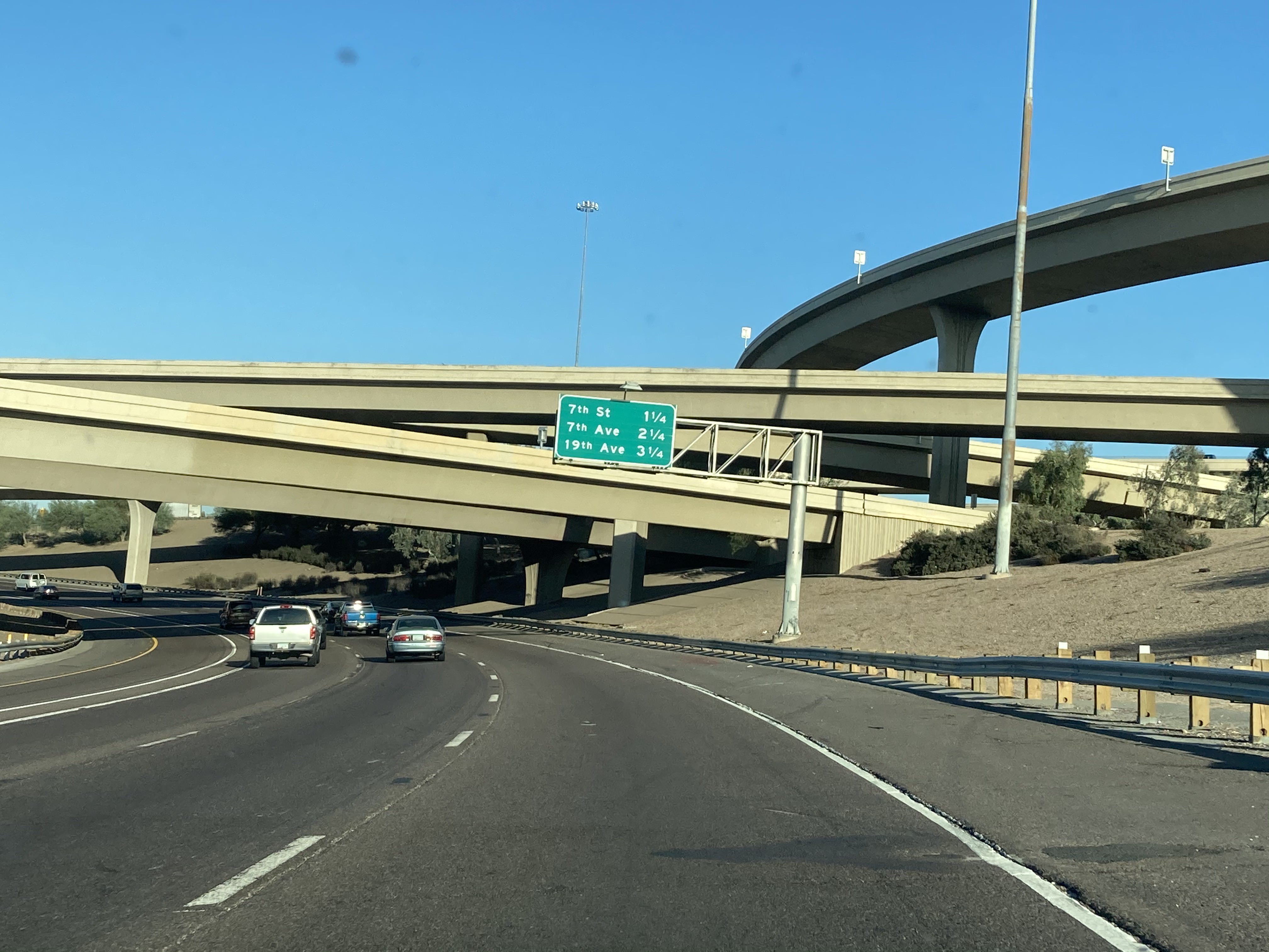
| 155 | Baseline Rd Guadalupe South Mountain Community College | Baseline Rd Guadalupe So Mtn Comm College |
| 157 | Elliot Rd | Elliot Rd Guadalupe |
| 158 | Warner Rd | Warner Rd |
| 159 | Ray Rd | Ray Rd |
| 160 | Chandler Blvd | Chandler Blvd |
| 161A-B | ||
| 161C | ◊ HOV EXIT | |
| LEFT EXIT | ||
| 162 | Wild Horse Pass Blvd Sundust Rd | Wild Horse Pass Blvd Sundust Rd |
| 164 | Queen Creek Rd Maricopa Ak-Chin Indian Community | Queen Creek Rd Maricopa |
| Huhugam Heritage Center | Huhugam Heritage Center | |
| 167 | Riggs Rd | Riggs Rd |
| 168 | ENTERING Pinal County | ENTERING Maricopa County |
| 175 | Casa Blanca Rd Sacaton | Chandler Gilbert Casa Blanca Rd Sacaton |
| 183 | Rest Area | Rest Area |
| 185 | Casa Grande Coolidge Casa Grande Airport | Sacaton Florence |
| Casa Grande Ruins National Monument | ||
| 190 | McCartney Rd Central Arizona College | McCartney Rd Central Arizona College |
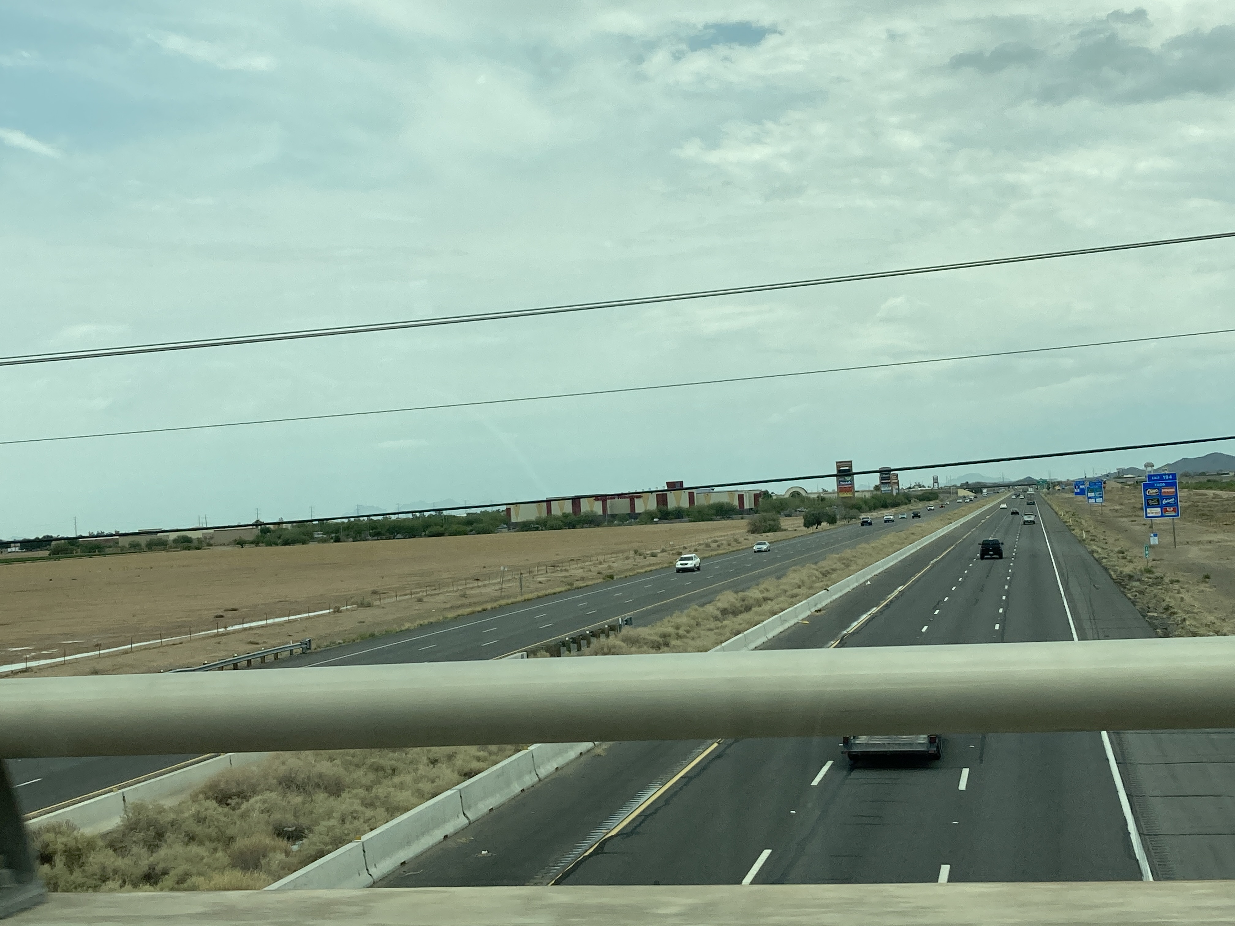
| 194 | Florence Blvd | Florence Blvd |
| Pinal County Fairgrounds | Casa Grande Ruins National Monument Pinal County Fairgrounds | |
| 198 | Jimmie Kerr Blvd | Jimmie Kerr Blvd |
| 199 | San Diego | San Diego PHOENIX BYPASS ROUTE |
| 200 | Sunland Gin Rd Arizona City | Sunland Gin Rd Arizona City |
| 203 | Toltec Rd | Toltec Rd |
| 208 | Sunshine Blvd | Sunshine Blvd |
| 211 | Coolidge Florence Picacho | Coolidge Florence Picacho |
| 219 | Picacho Peak Rd | Picacho Peak Rd |
| Picacho Peak State Park | Picacho Peak State Park | |
| 226 | Red Rock | Red Rock |
| 229 | APS Power Plant (unsigned) | |
| 232 | Pinal Air Park Rd Army National Guard Aviation Training Site | Pinal Air Park Rd Army National Guard Aviation Training Site |
| ENTERING Pima County | ENTERING Pinal County | |
| 236 | Marana Rd | Marana Rd |
| 240 | Tangerine Rd Oro Valley | Tangerine Rd Oro Valley |
| 242 | Avra Valley Rd Marana Regional Airport | Avra Valley Rd Rillito Marana Regional Airport |
| Saguaro National Park | Saguaro National Park | |
| 244 | Twin Peaks Rd | Twin Peaks Rd |
| 246 | Cortaro Rd | Cortaro Rd |
| 248 | Ina Rd | Ina Rd |
| 250 | Orange Grove Rd | Orange Grove Rd |
| 251 | Sunset Rd | Sunset Rd |
| 252 | El Camino Del Cerro Ruthrauff Rd | El Camino Del Cerro Ruthrauff Rd |
| 254 | Prince Rd | Prince Rd |
| 255 | Miracle Mile | Miracle Mile |
| 256 | Grant Rd | Grant Rd |
| 257 | Speedway Blvd St Marys Rd Univ of Arizona Pima Comm College | Speedway Blvd Univ of Arizona Pima Comm College |
| Desert Museum Old Tucson | Desert Museum Old Tucson | |
| 258 | Congress St Broadway Blvd | Congress St St Marys Rd Broadway Blvd |
| Convention Center | Convention Center | |
| 259 | 22nd St - 29th St Starr Pass Blvd Silverlake Rd City of South Tucson | 22nd St - 29th St Starr Pass Blvd Silverlake Rd |
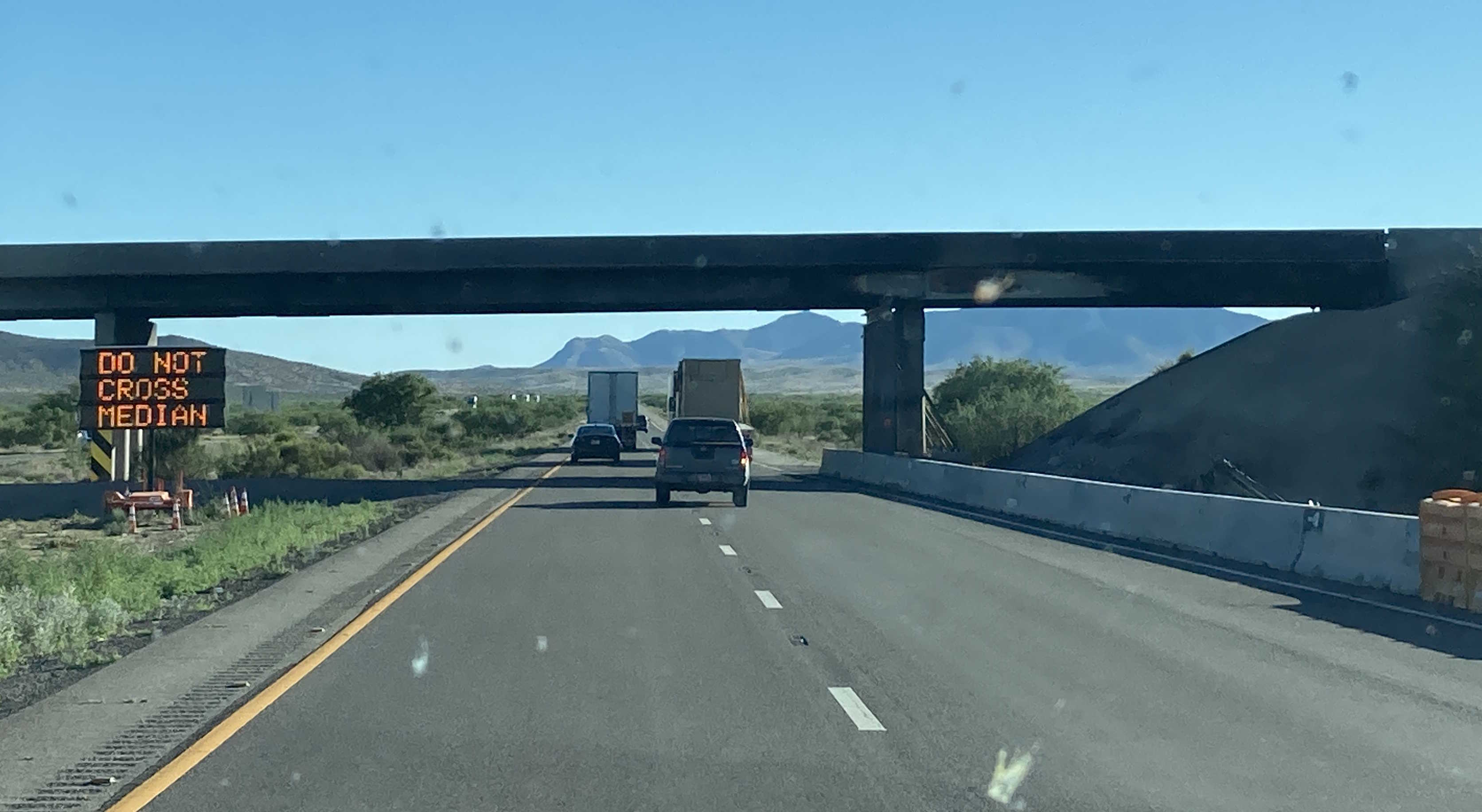
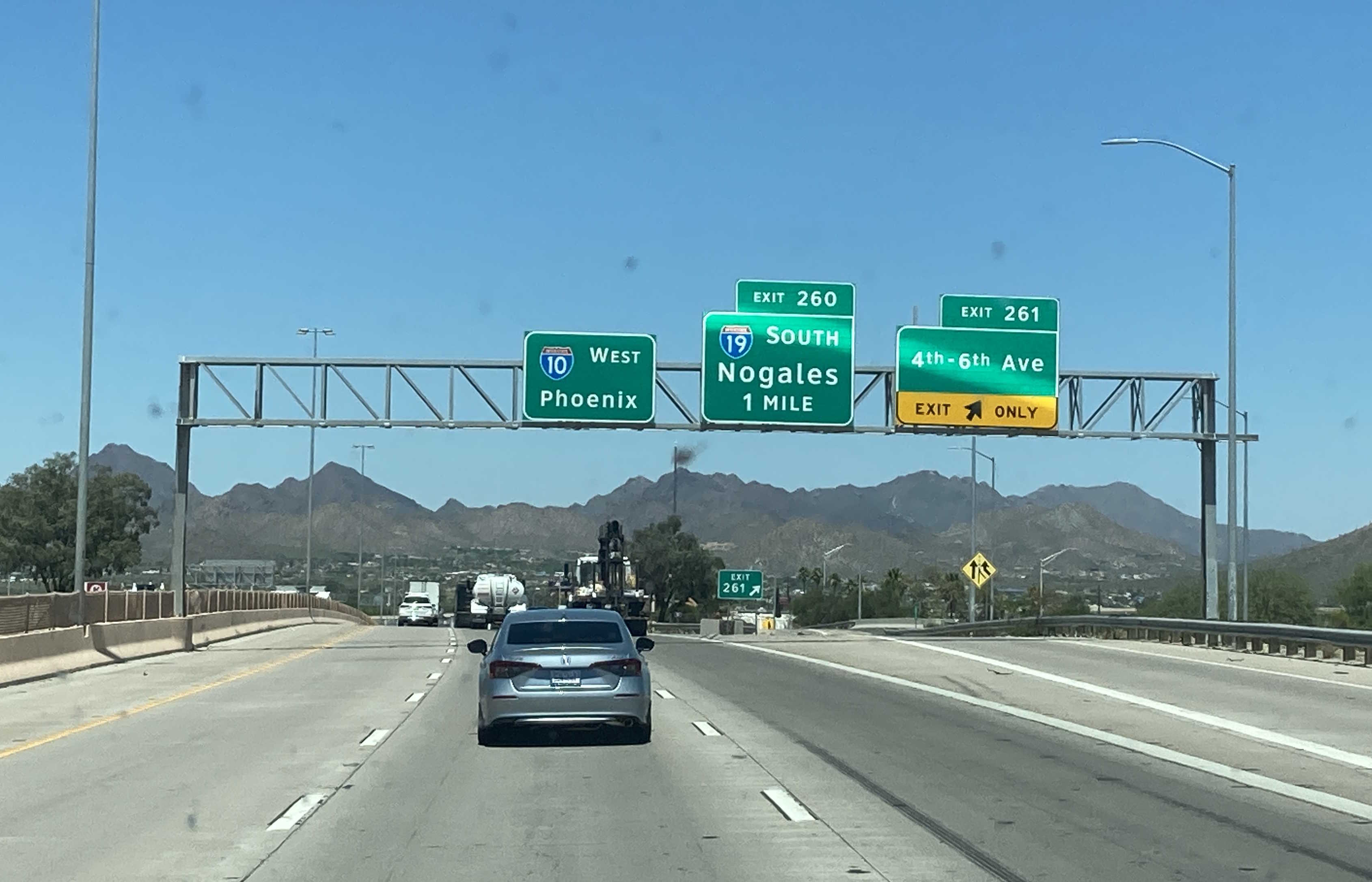
| 260 | Nogales | Nogales |
| Desert Museum Old Tucson | Desert Museum Old Tucson | |
| 261 | 6th Ave 4th Ave | 4th Ave - 6th Ave City of South Tucson |
| 262 | Benson Hwy Park Ave | Park Ave |
| 263 | Ajo Way Kino Pkwy | |
| 263A | Kino Pkwy South Tucson Intl Airport | |
| 263B | Kino Pkwy North Ajo Way | |
| EXIT 25 MPH | ||
| 264 | Irvington Rd Palo Verde Rd | |
| Kino Sports Complex | ||
| 264A | Palo Verde Rd South | |
| 264B | Palo Verde Rd North Irvington Rd | |
| EXIT 25 MPH | ||
| Kino Sports Complex | ||
| 265 | Alvernon Way Davis-Monthan AFB | Alvernon Way Davis-Monthan AFB |
| 267 | Valencia Rd | Valencia Rd Tucson Intl Airport |
| Pima Air and Space Museum | Pima Air and Space Museum | |
| 268 | Craycroft Rd | Craycroft Rd |
| 269 | Wilmot Rd | Wilmot Rd |
| 270 | Kolb Rd | Kolb Rd |
| 273 | Rita Rd | Rita Rd |
| Pima County Fairgrounds | Pima County Fairgrounds | |
| 275 | Houghton Rd | Houghton Rd |
| Saguaro National Park Pima County Fairgrounds | Saguaro National Park Pima County Fairgrounds | |
| 279 | Colossal Cave Rd Wentworth Rd Vail | Colossal Cave Rd Wentworth Rd Vail |
| Colossal Cave Mountain Park | Colossal Cave Mountain Park | |
| 281 | Sonoita Patagonia | Sonoita Patagonia |
| Scenic Route | EXIT 25 MPH | |
| Scenic Route | ||
| 291 | Marsh Station Rd | Marsh Station Rd |
| 292 | Empirita Rd | Empirita Rd |
| 296 | ENTERING Cochise County | ENTERING Pima County |
| 297 | Mescal Rd J Six Ranch Rd | Mescal Rd J Six Ranch Rd |
| 299 | Skyline Rd | Skyline Rd |
| 302 | Ft Huachuca Sierra Vista | Ft Huachuca Sierra Vista |
| Kartcher Caverns State Park Fort Huachuca Natl Historic Site | Kartcher Caverns State Park Fort Huachuca Natl Historic Site | |
| 303 | Tombstone Douglas Bisbee | |
| Tombstone Courthouse State Historic Park | ||
| 304 | Ocotillo Ave Benson Airport | Ocotillo Ave Benson Airport |
| 306 | Pomerene Rd | Pomerene Rd Tombstone |
| 312 | Sibyl Rd | Sibyl Rd |
| 318 | Dragoon Rd | Dragoon Rd |
| 320 | Rest Area | Rest Area |
| 322 | Johnson Rd | Johnson Rd |
| 331 | Sunsites Douglas | Sunsites Douglas |
| Cochise Stronghold | Cochise Stronghold | |
| 336 | TO Taylor Rd | TO Taylor Rd |
| Chiricahua Natl Monument | ||
| 340 | Rex Allen Dr Fort Grant Rd | Rex Allen Dr Fort Grant Rd |
| Chiricahua Natl Monument | ||
| 344 | TO Old Stewart Rd | TO Old Stewart Rd |
| 352 | Safford | Safford |
| 355 | Safford | TO Safford |
| 362 | Bowie | Bowie |
| Fort Bowie Natl Historic Site | ||
| 366 | Bowie | Bowie |
| Fort Bowie Natl Historic Site | ||
| 378 | San Simon | San Simon |
| 382 | San Simon | San Simon |
| 384 | Weigh Station | |
| 388 | Rest Area | Rest Area |
| 390 | Cavot Rd | Cavot Rd |
| 391 | New Mexico State Line | |
Page last updated: 1/11/2026