US 89
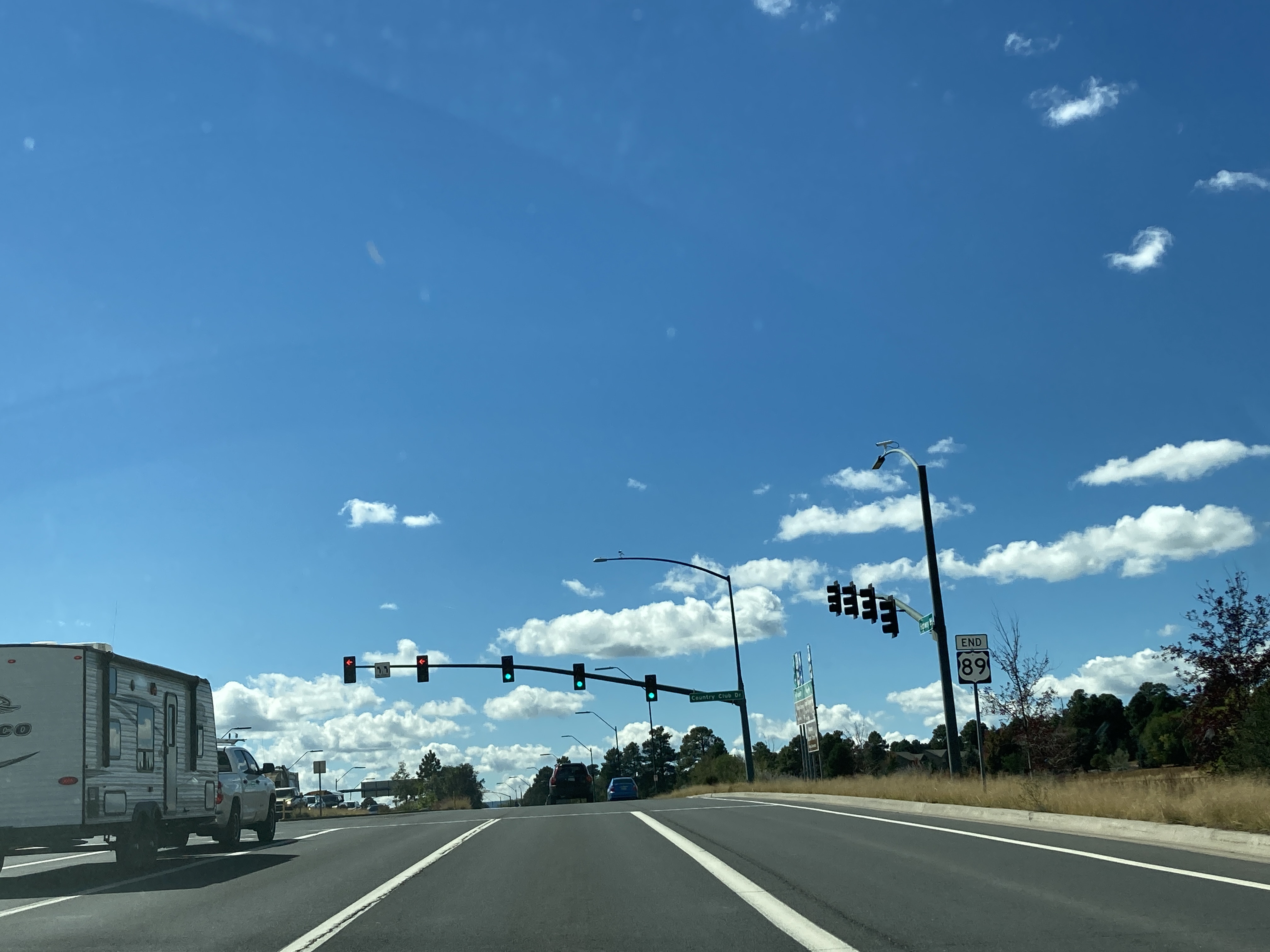
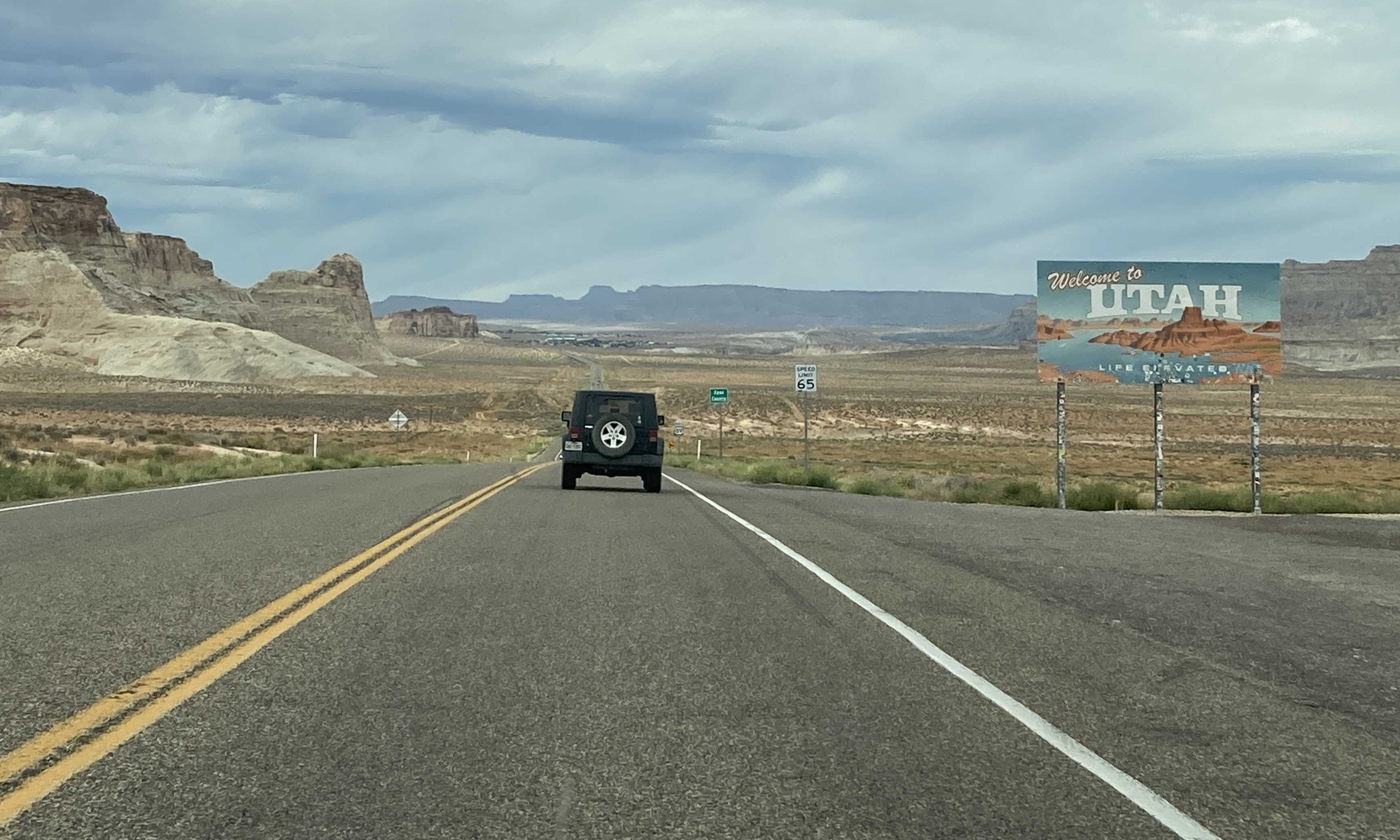
In Arizona, US 89 runs from US 180 in Flagstaff to the Utah state line. US 89 used to run from border to border, but was cut short in Arizona by I-17 and I-19.
Length: 1,252 miles in total, 136 miles in Arizona
Existed since: 1926
Current Route in Arizona: US 180 in Flagstaff to Utah state line near Page
Historical Route in Arizona: Mexican border in Nogales to Utah state line near Fredonia
Current Route Nationally: Flagstaff, AZ to Canadian border near Babb, MT
Historical Route Nationally: Mexican border in Nogales, AZ to Canadian border near Babb, MT
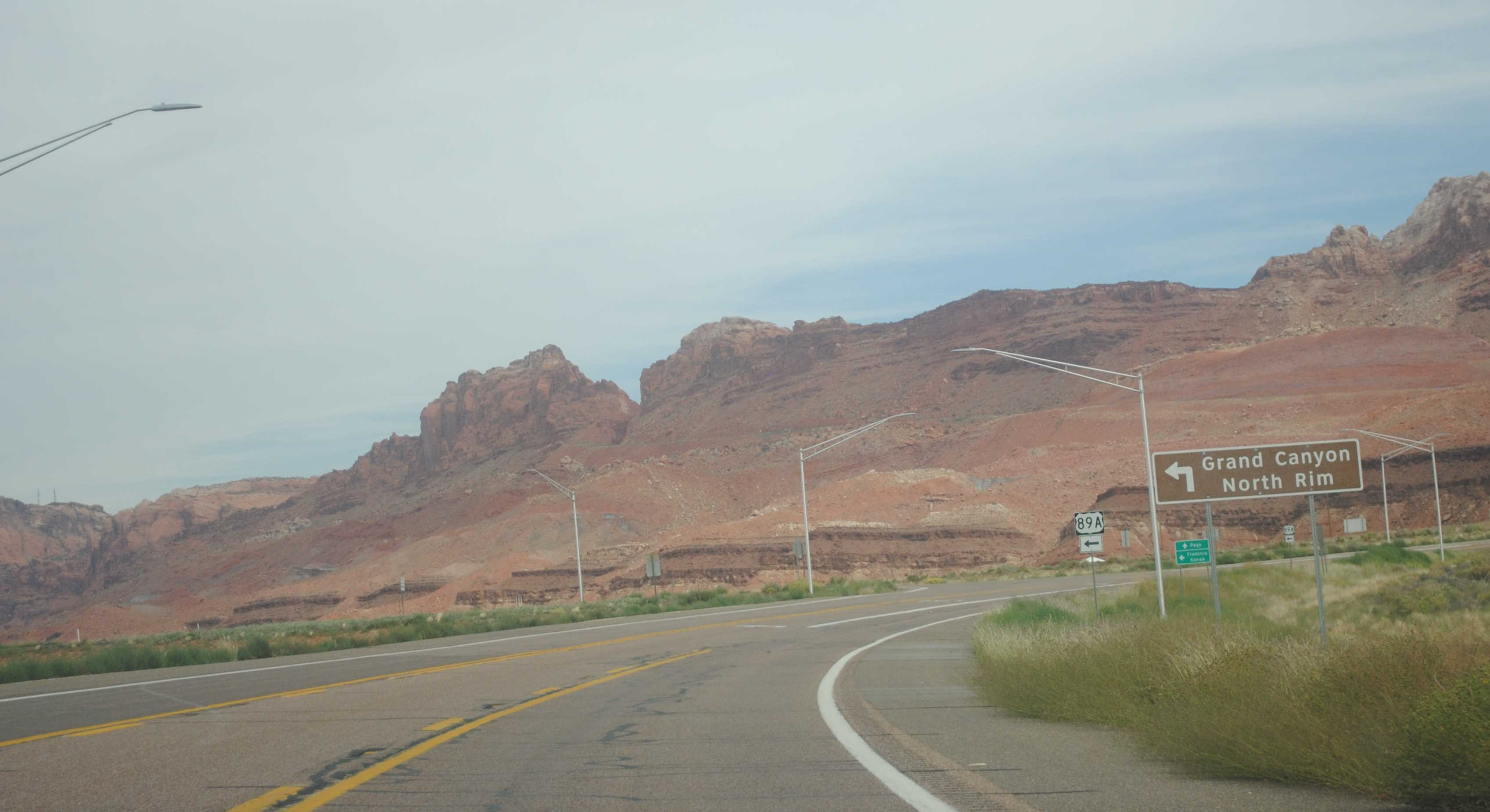
Major Junctions: US 180, AZ 64, US 160, US 89A, AZ 98
Cool Features
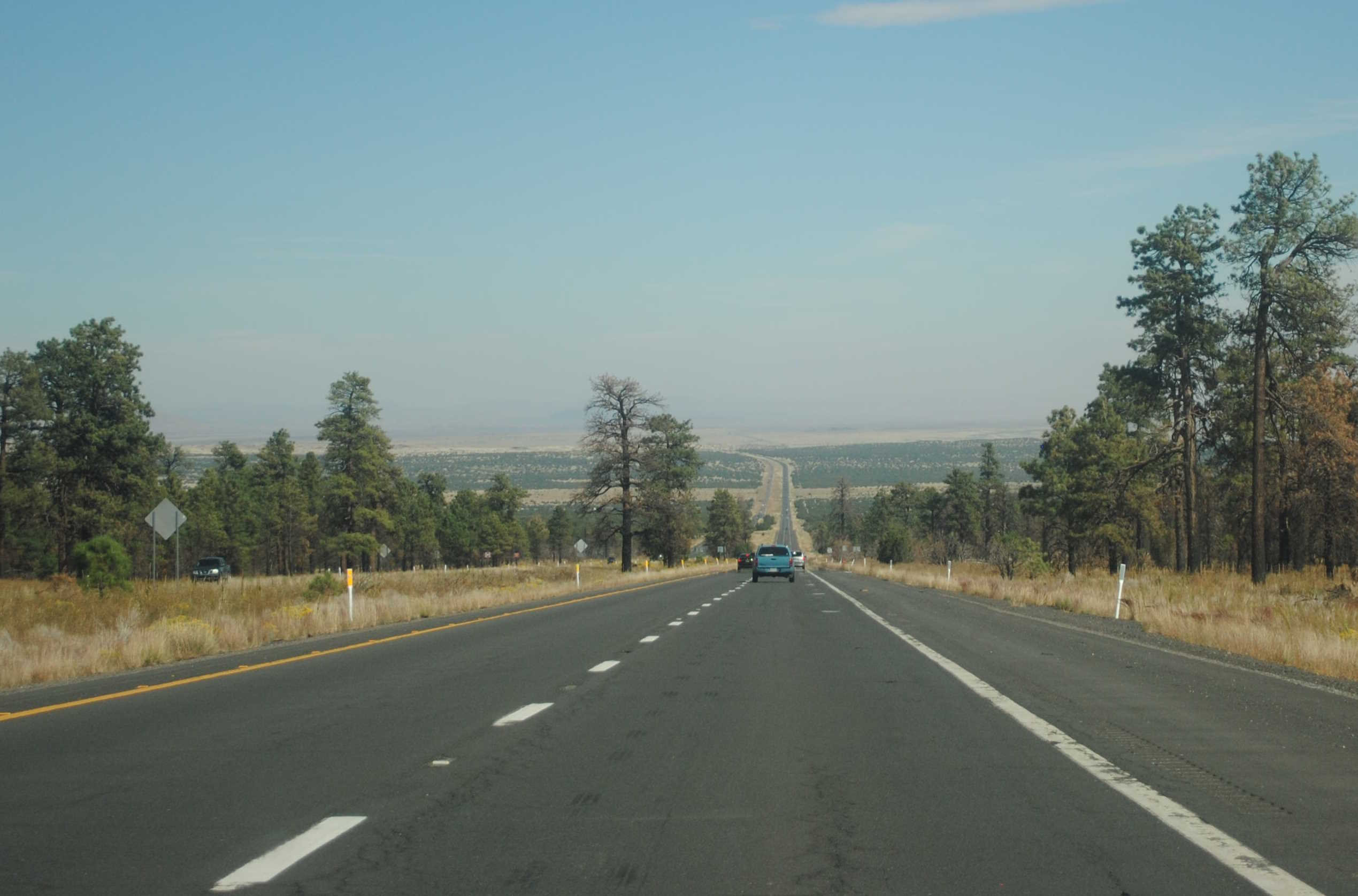
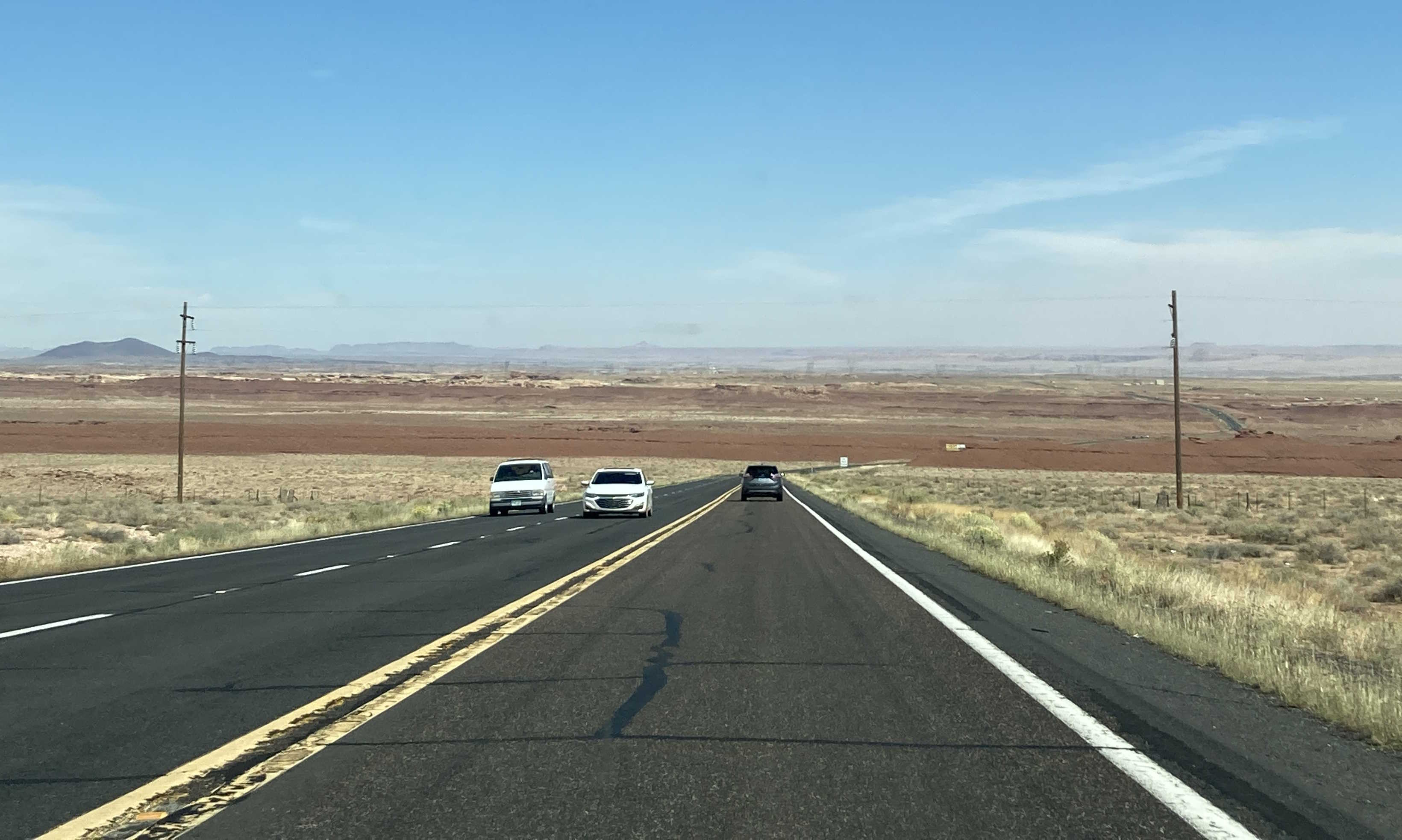
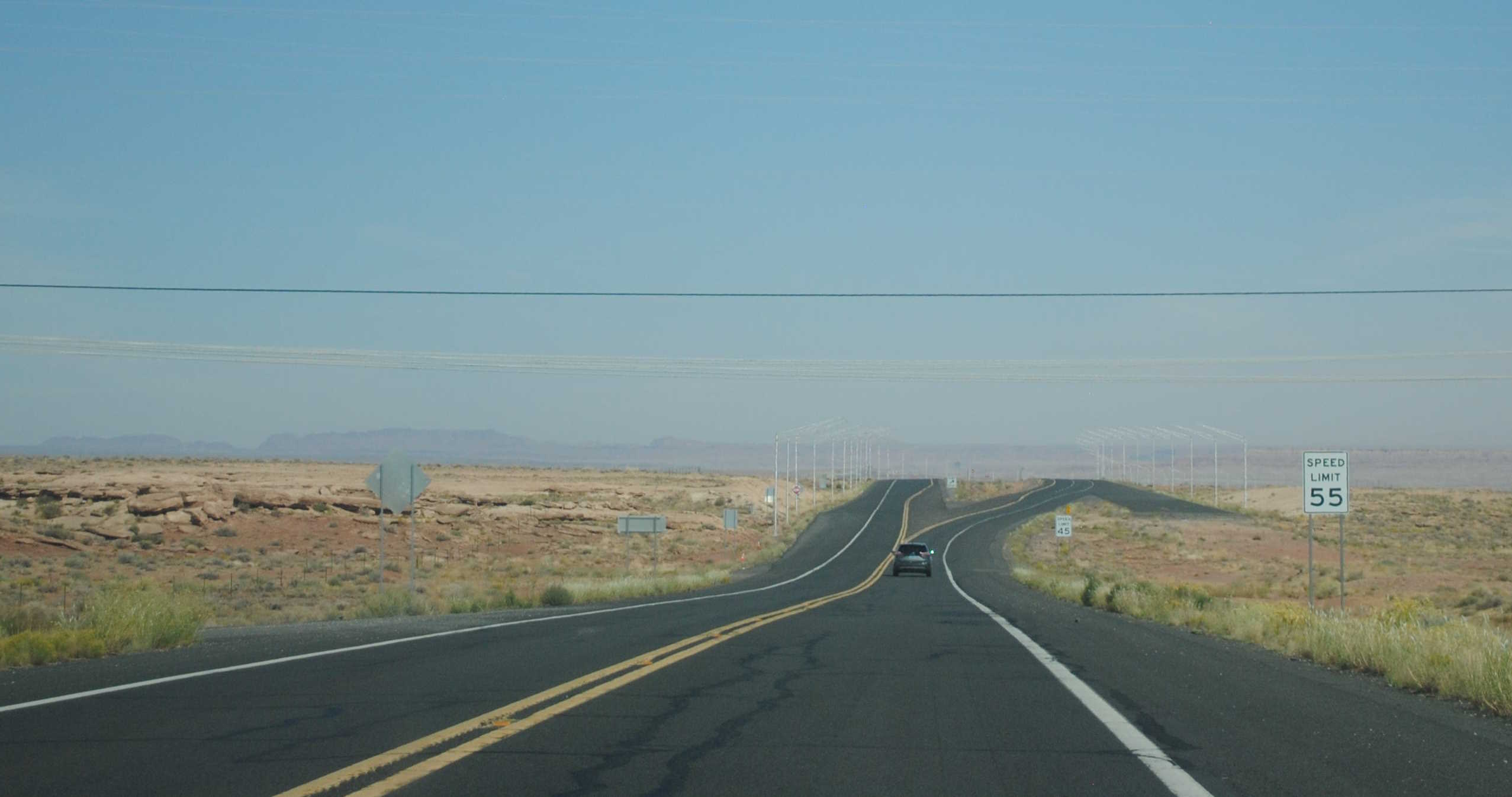
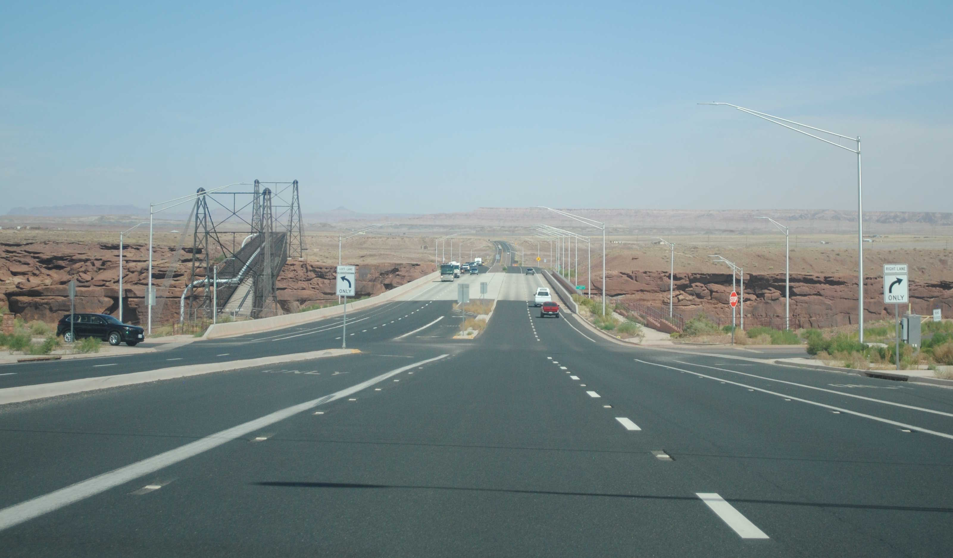
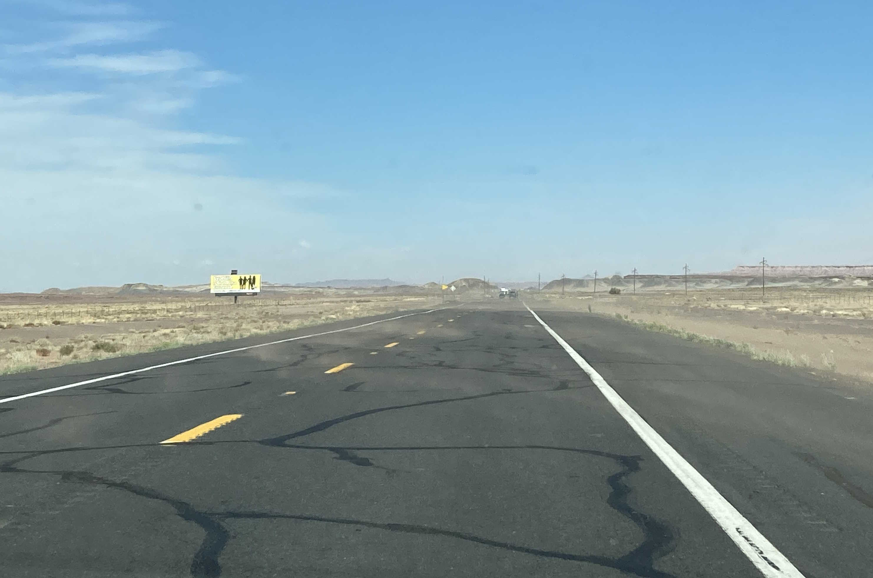
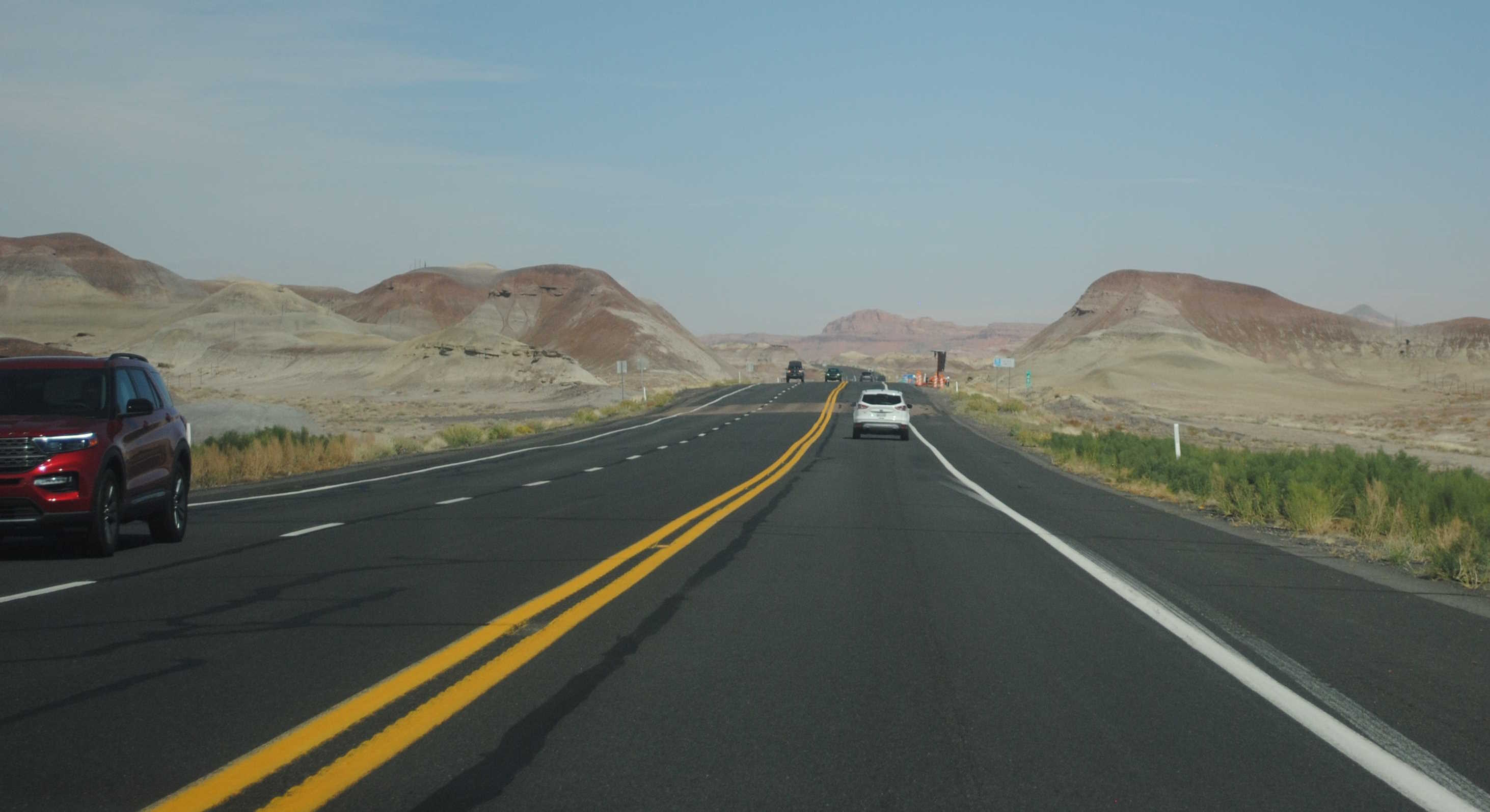
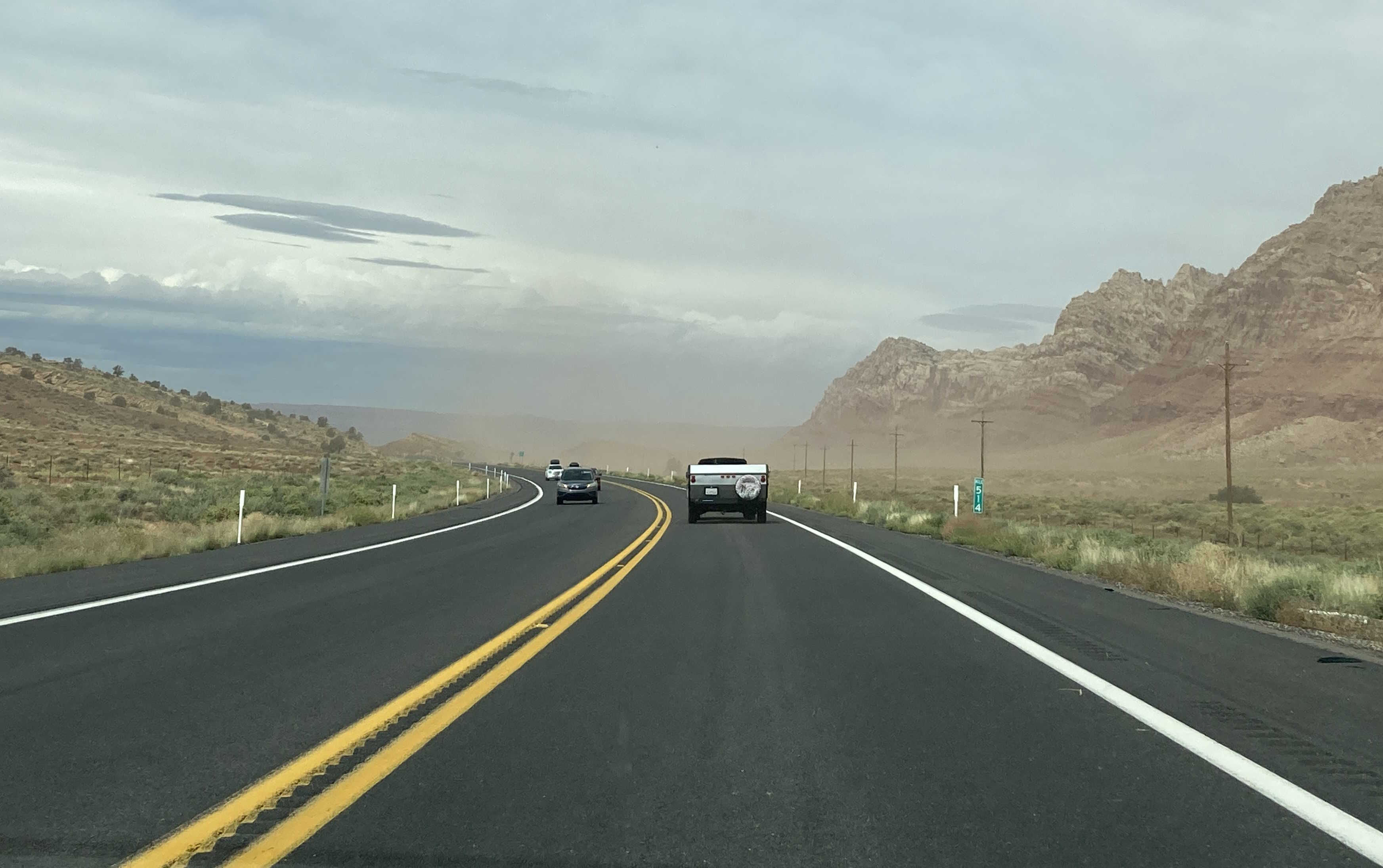
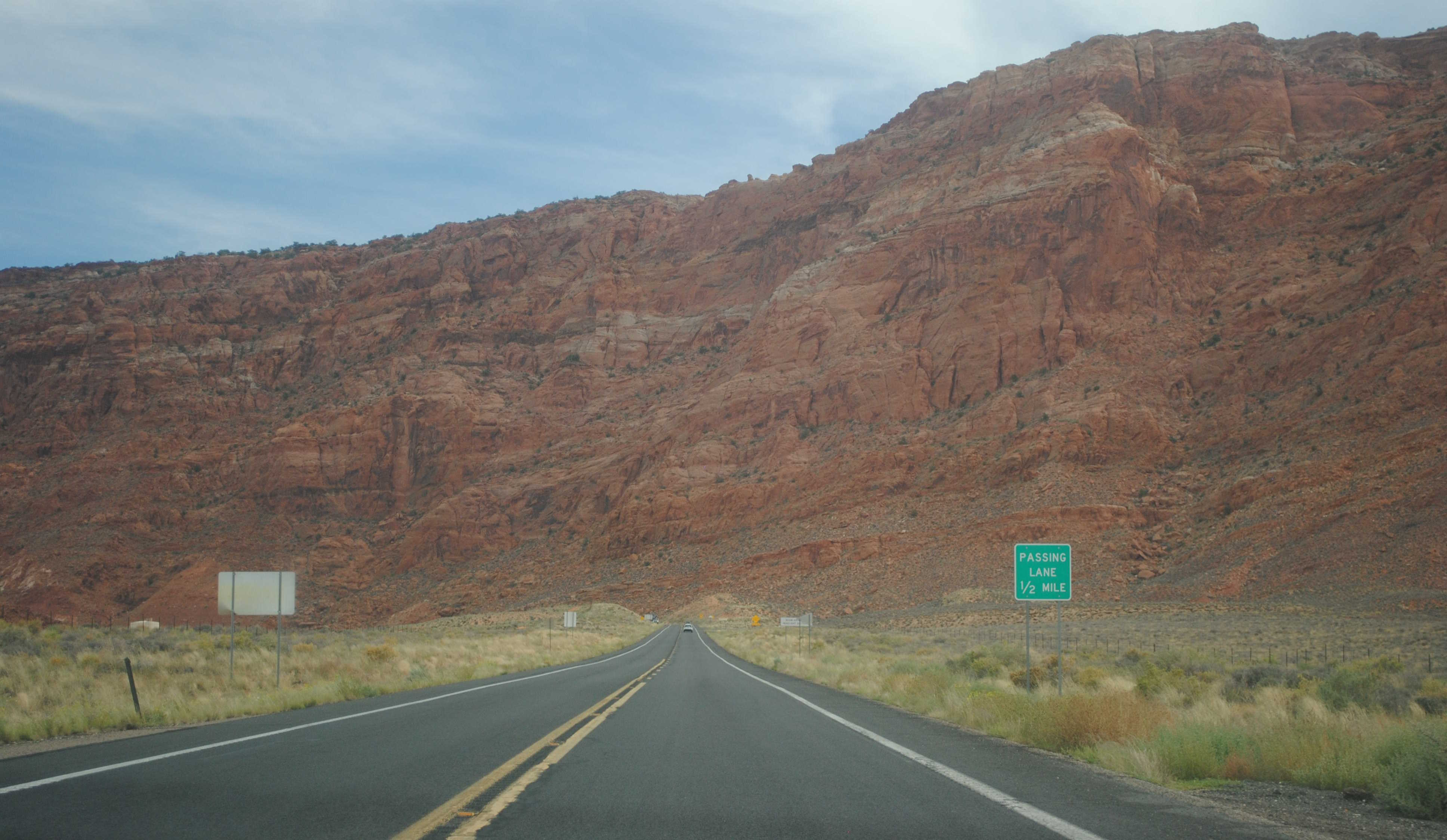
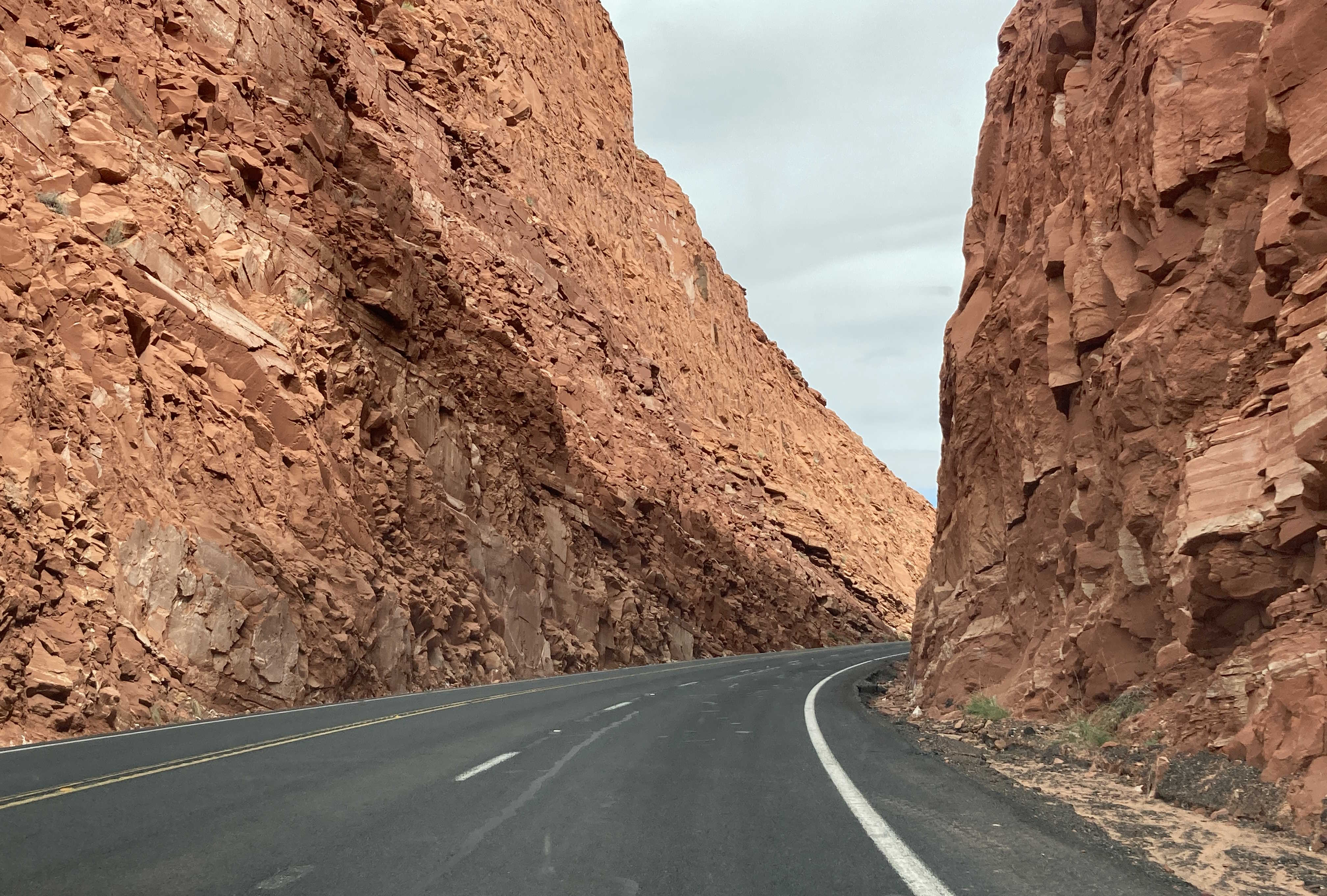
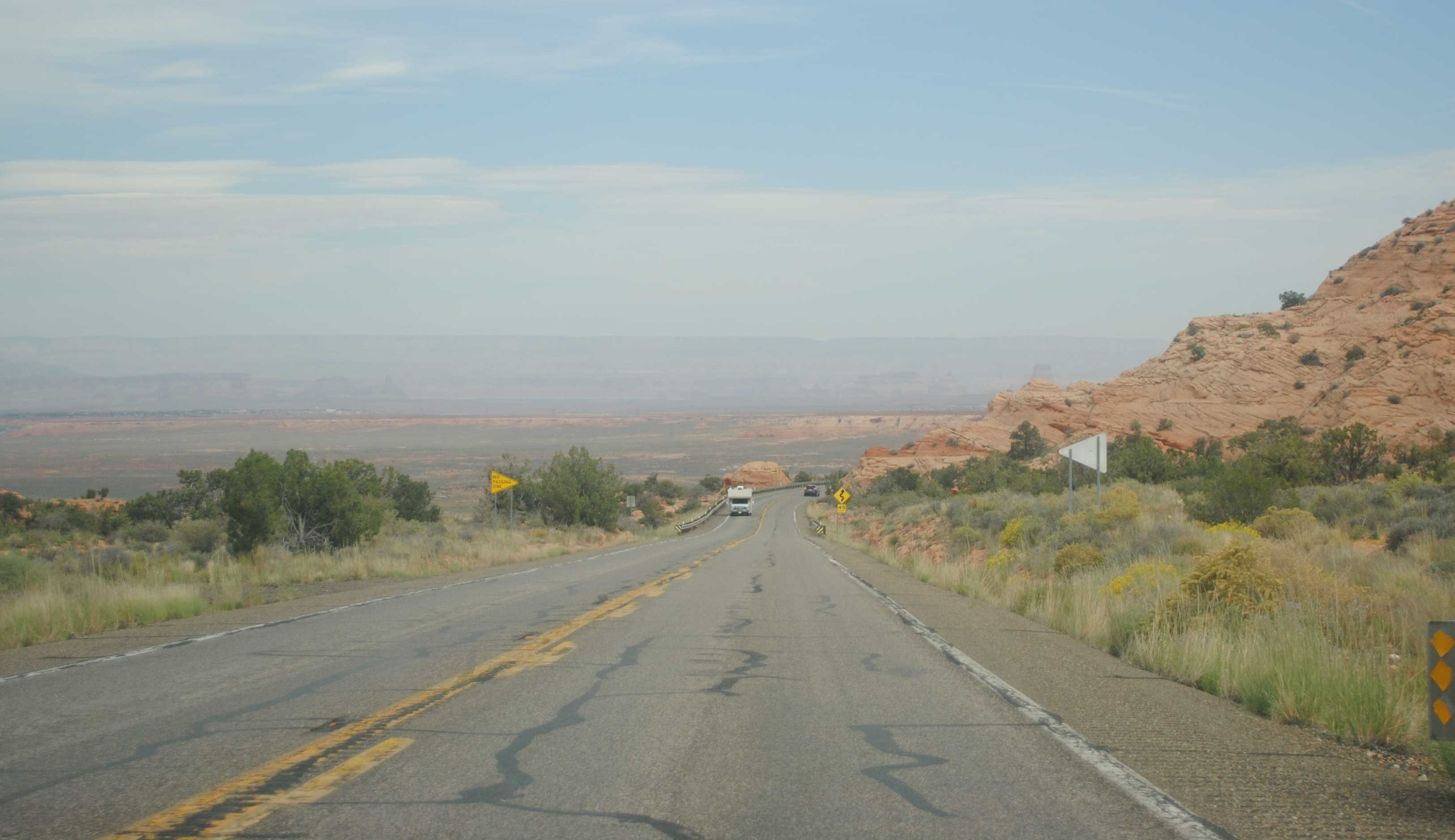
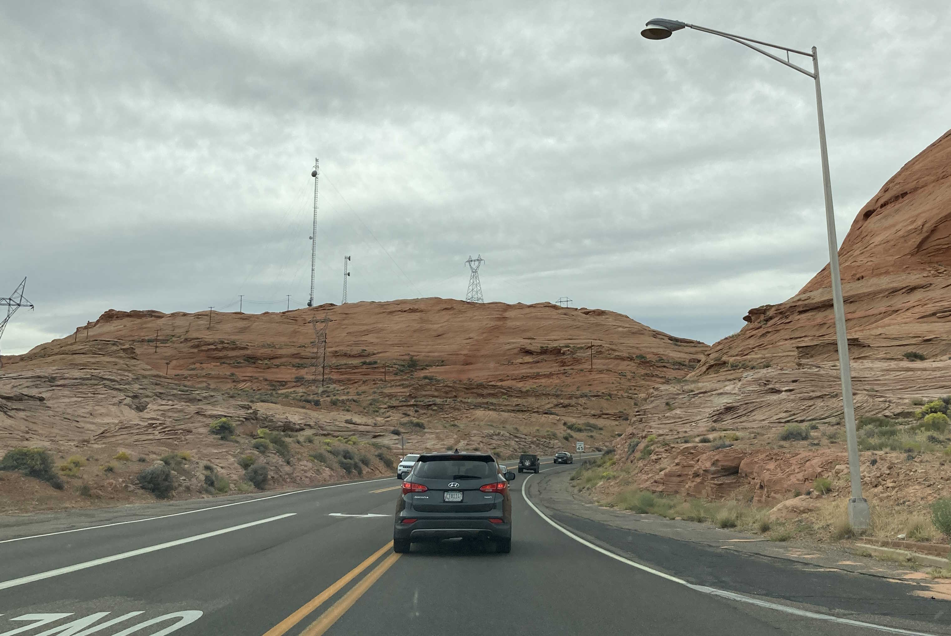
US 89 crosses a variety of Arizona terrain from pine forest to high desert. There are many fascinating and tall bridges along US 89 as well. You can view many of them on Arizona Roads.
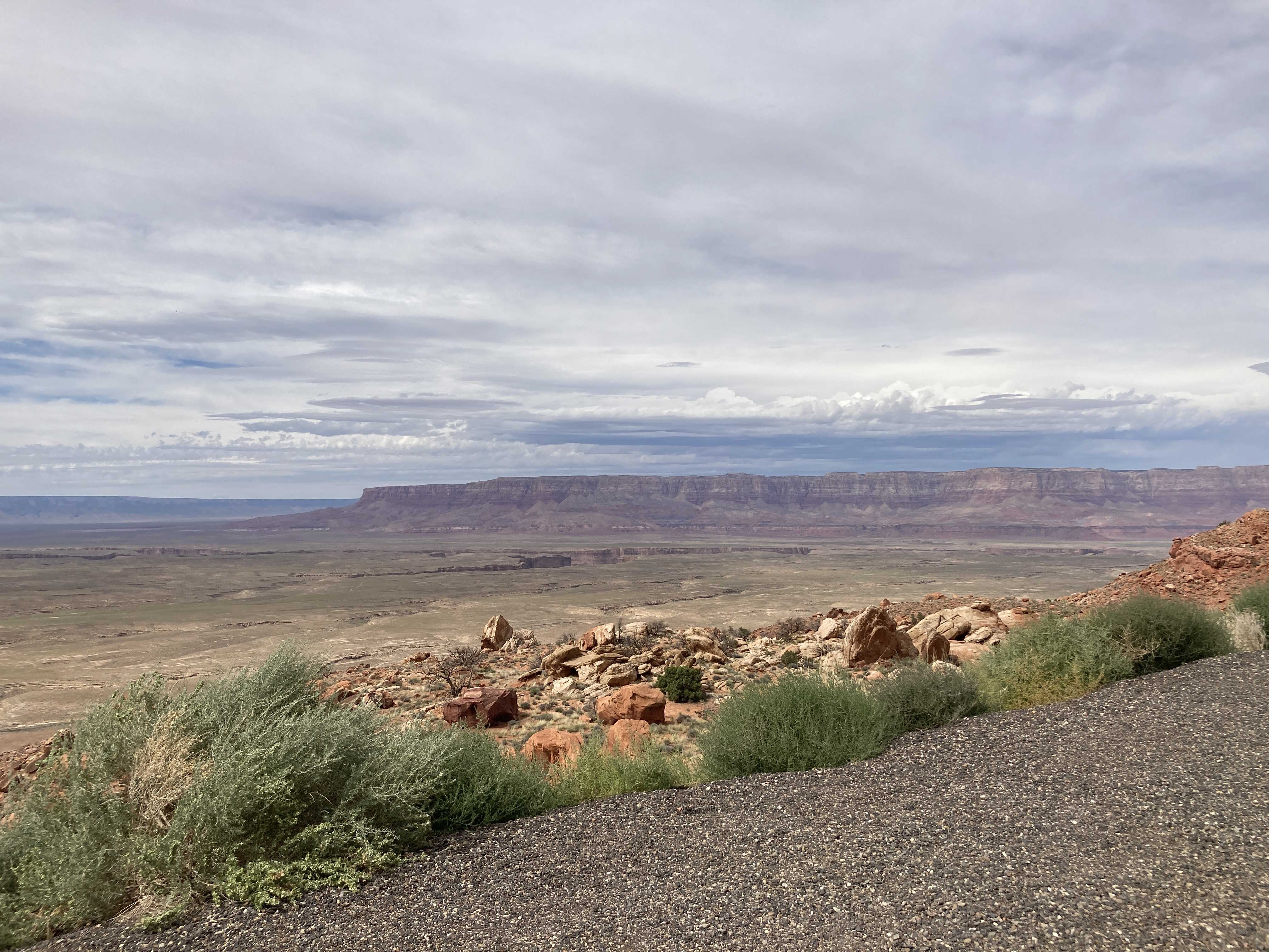
As US 89 climbs from Bitter Springs to Page, there is a beautiful scenic view point.
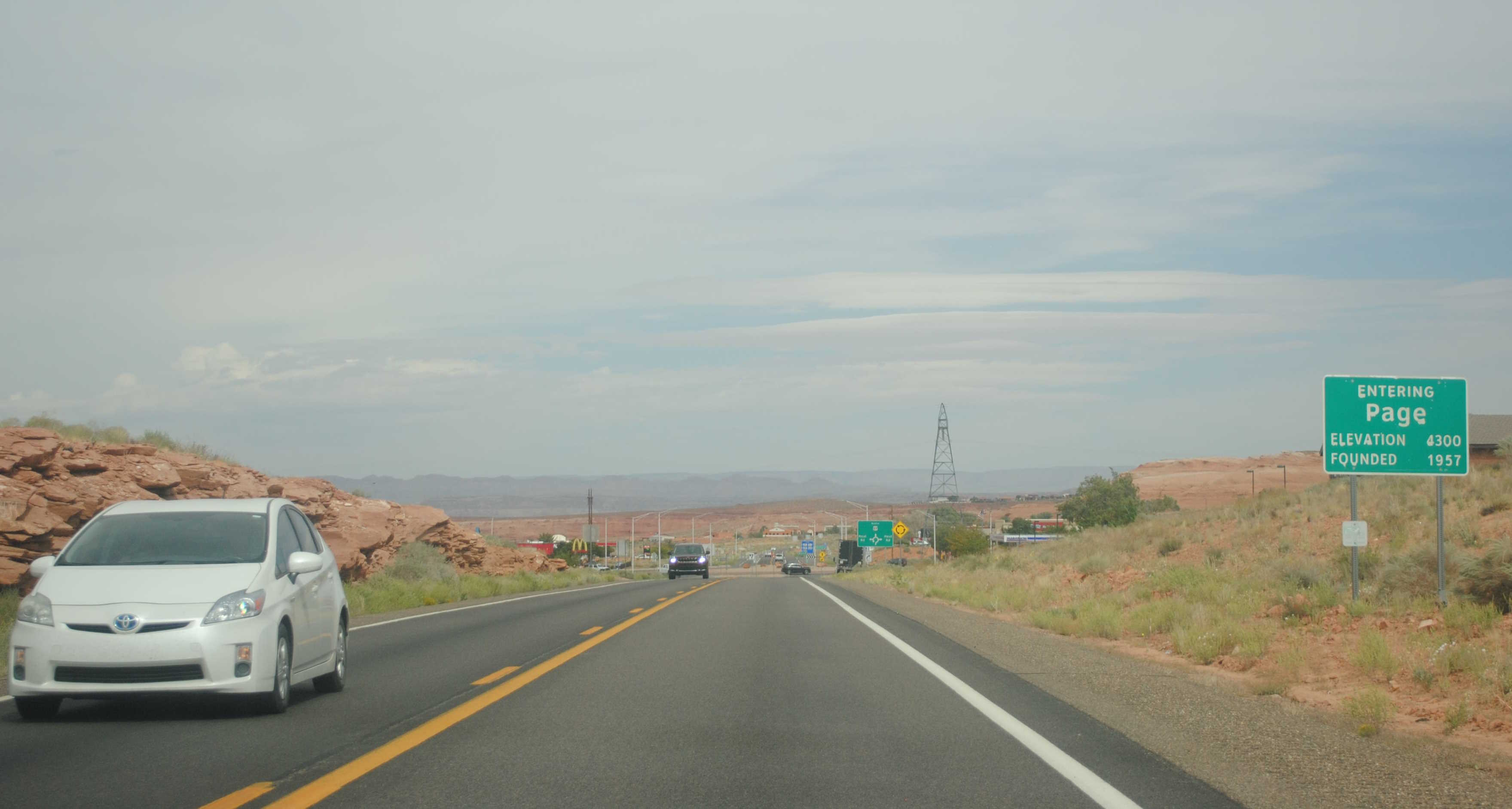
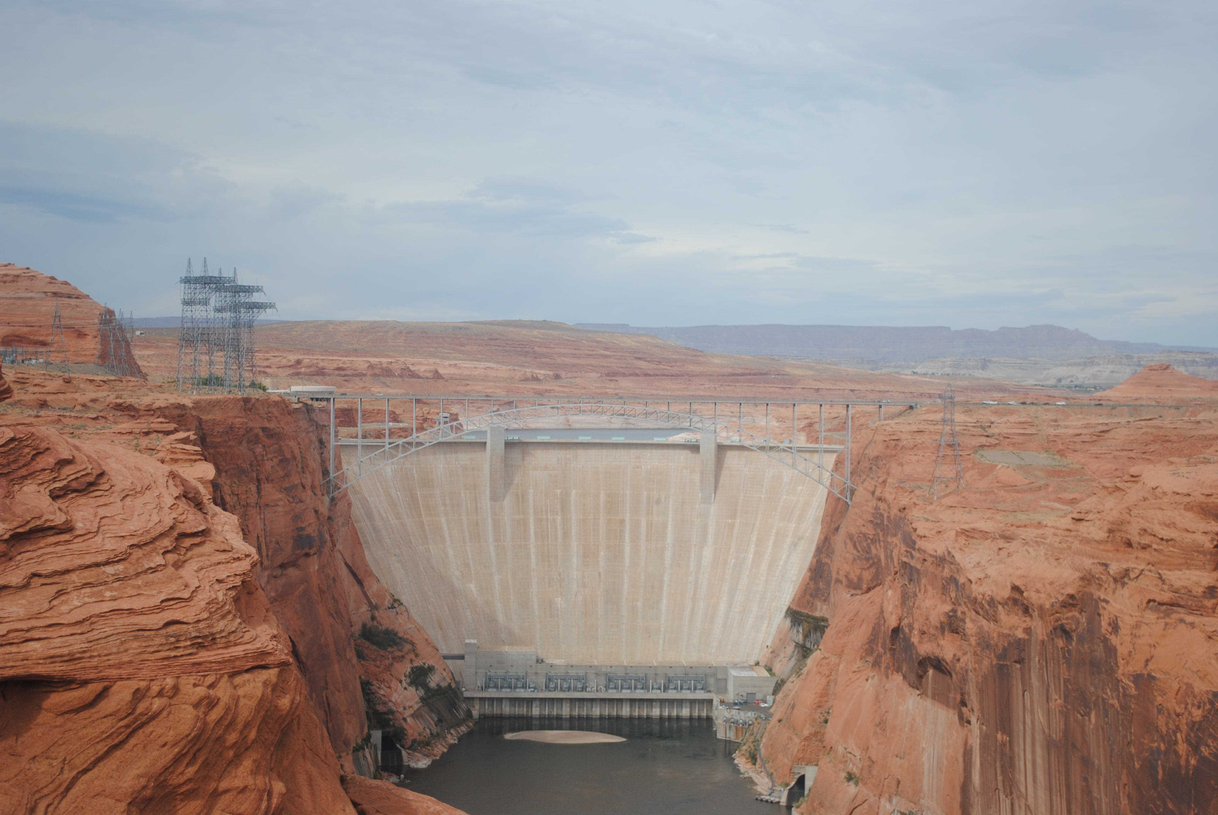
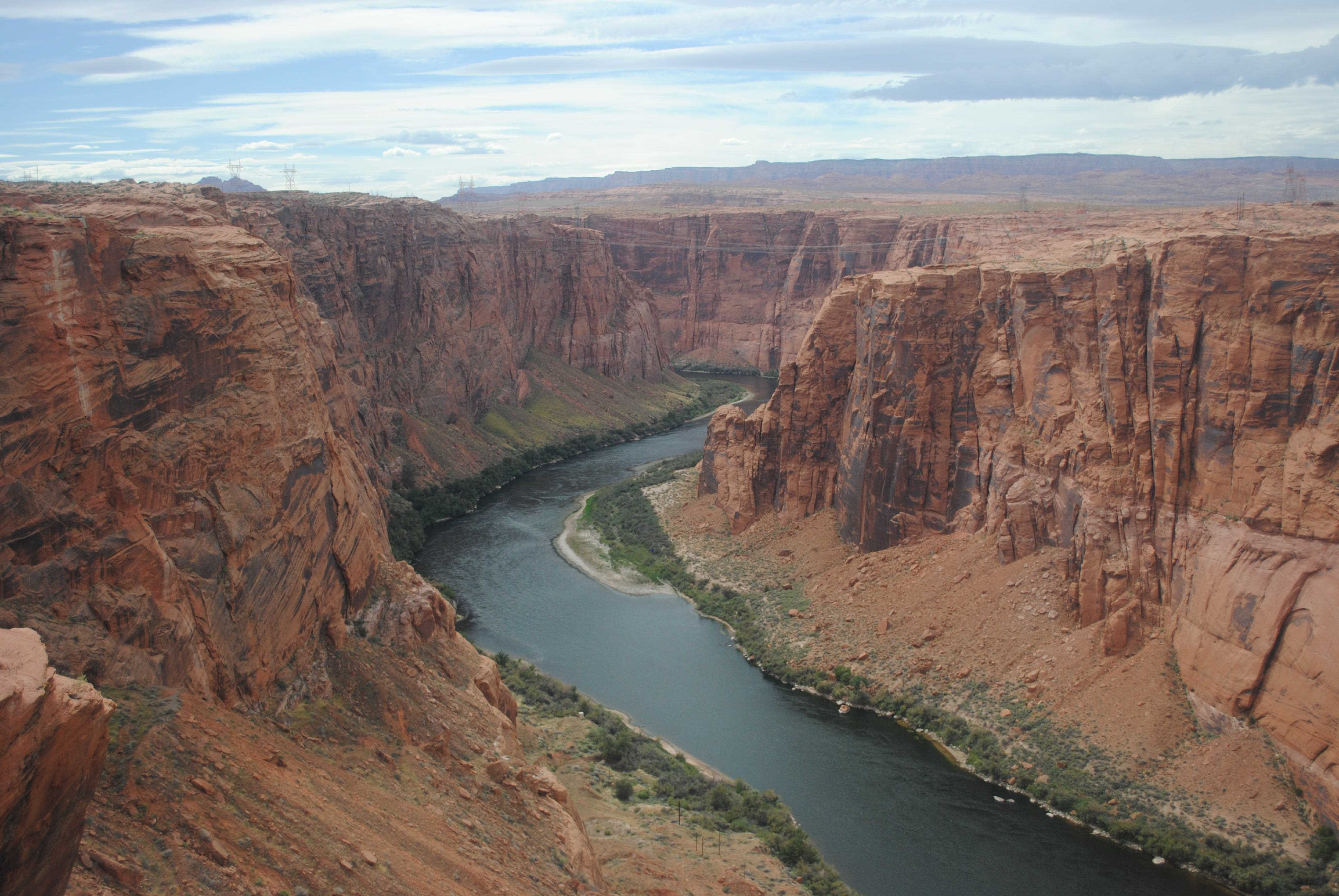
US 89 travels past the Glen Canyon Dam on the Colorado River near Page. There's a scenic view point in Page that provides a nice view of the dam and river.
Related Routes
US 89A
AZ 89L
US 89T
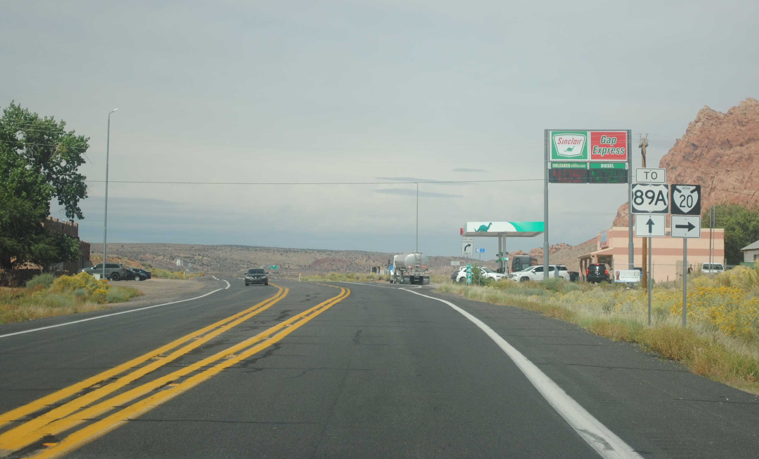
US 89 had a temporary alignment designated as US 89T in 2013 when a landslide caused US 89 to buckle and subside about 25 miles south of Page. Navajo Route 20 was used as the alignment for US 89T. 28 miles of Route 20 was unpaved, so ADOT quickly got funds to pave the road and the paving was finished in just 79 days. This process was quick due to the fact that the Navajo Nation had already wanted to pave the road for decades and some design and environmental clearances had already been obtained. In March 2015, US 89 was reopened and US 89T was retired and the route was given back to the Navajo Nation. You can view images of the damaged US 89 on the ADOT Flickr:
Here is an image from the ADOT Flickr of US 89T:
Pictures
Page last updated: 10/7/2023

