Interstate 410
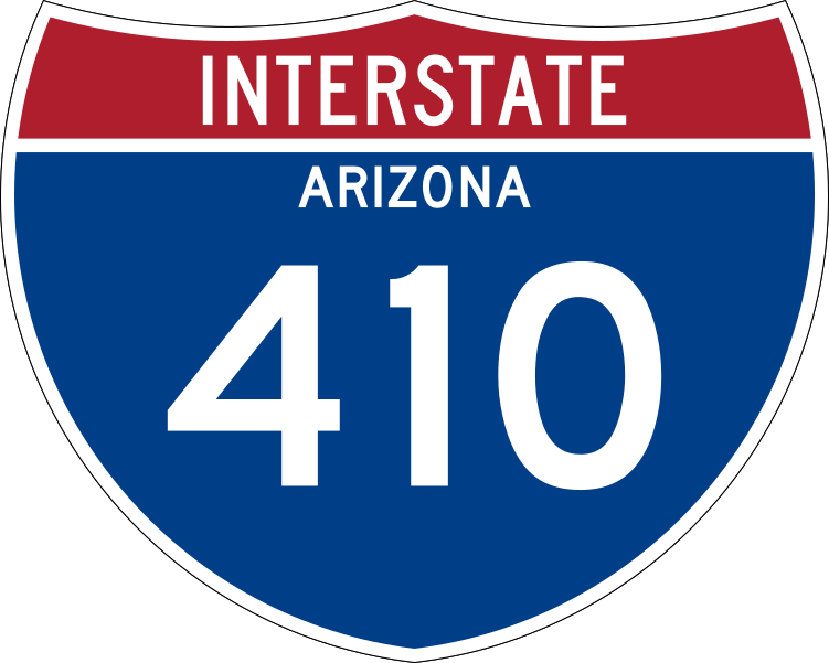
Interstate 410 was a proposed option in the 1960s for a freeway through Downtown Phoenix. This would eventually become I-10. A small section of I-410 was built from I-10/I-17 near Sky Harbor to Buckeye Rd. It was even signed on I-10 exit signage as seen from this image on AARoads. However, there was no signage for I-410 along the actual route. Previously, the north-south segment of the route was designated as I-510.
Length: 6.4 miles proposed, 0.5 miles actually built
Existed: 1968-1970s?
Current Route: Part of I-10
Historical Route: I-17/I-10 in Phoenix near Sky Harbor to Buckeye Rd
Historical Proposed Route: I-17/I-10 in Phoenix near Sky Harbor to I-17/I-10 Stack in Phoenix
Major Junctions: I-10, I-17
Page last updated: 1/23/2022