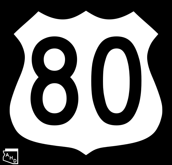
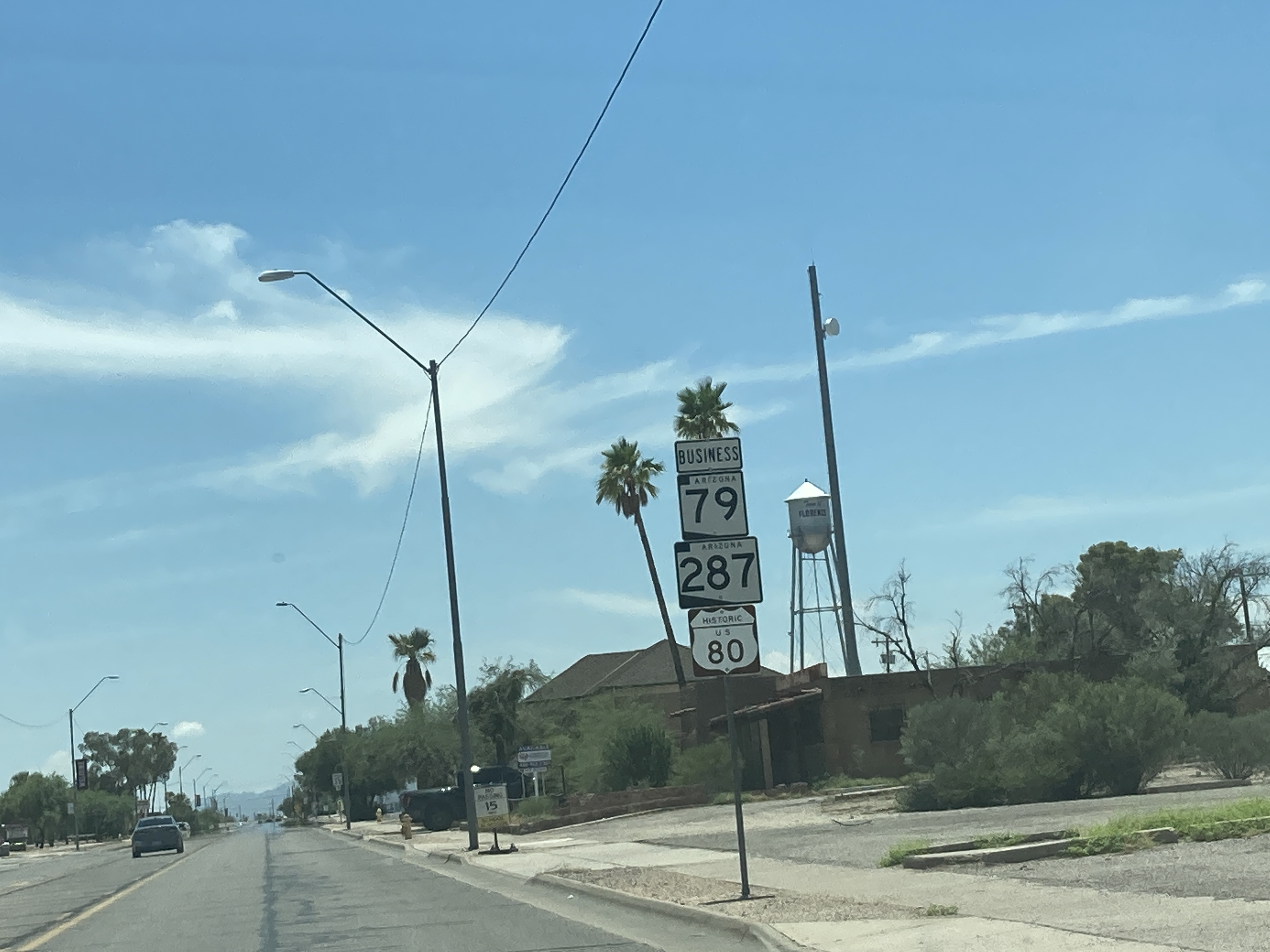
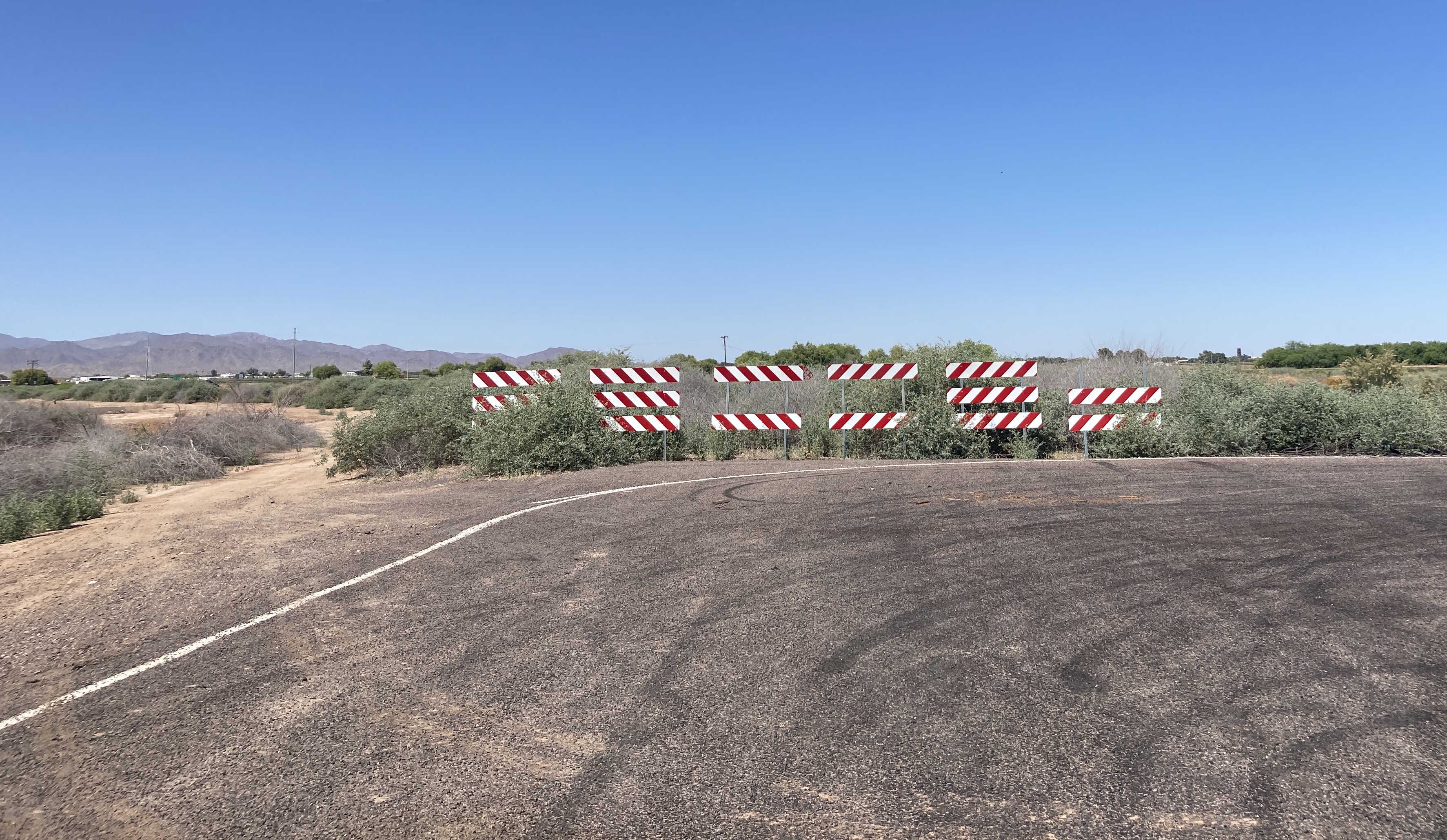
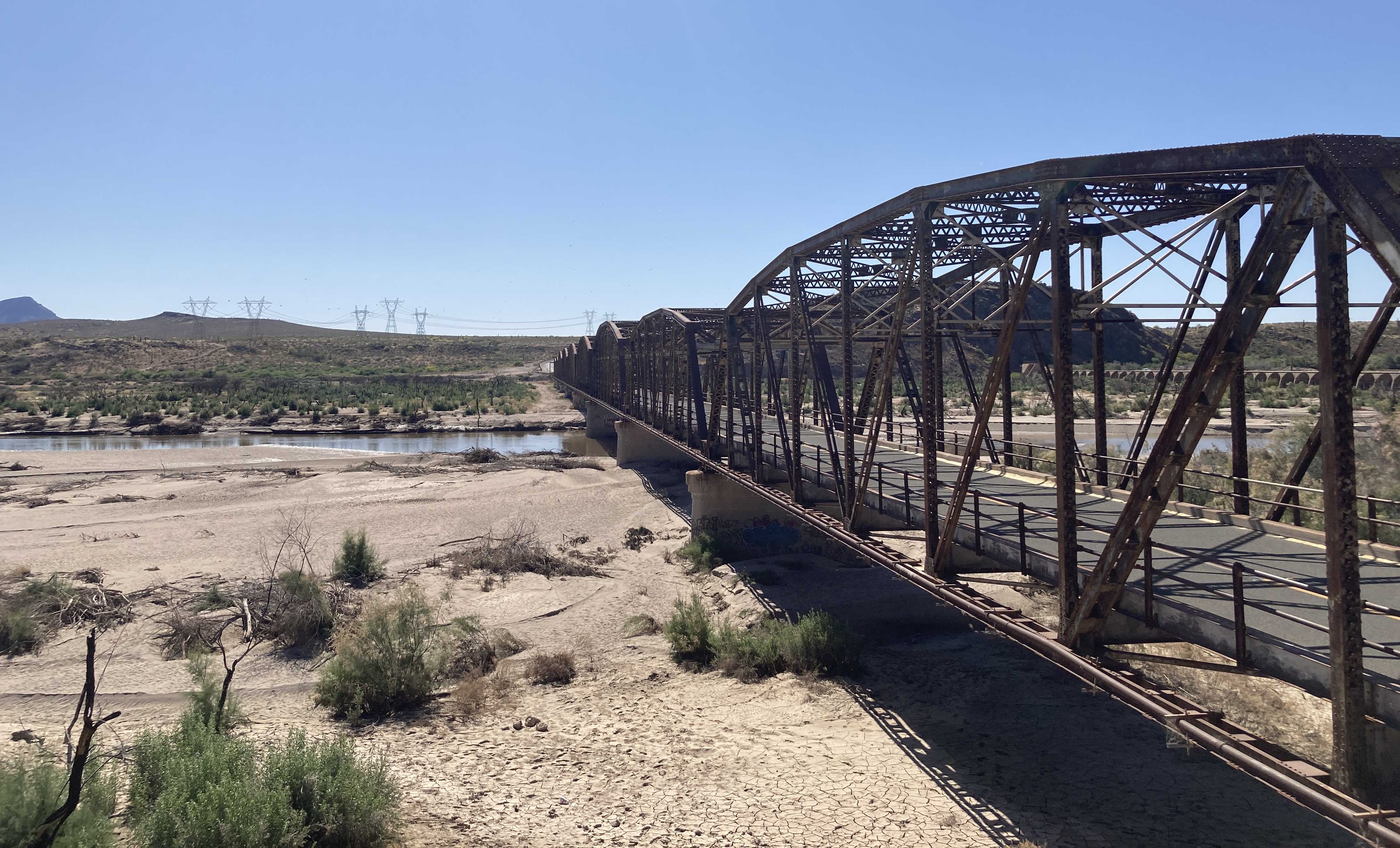
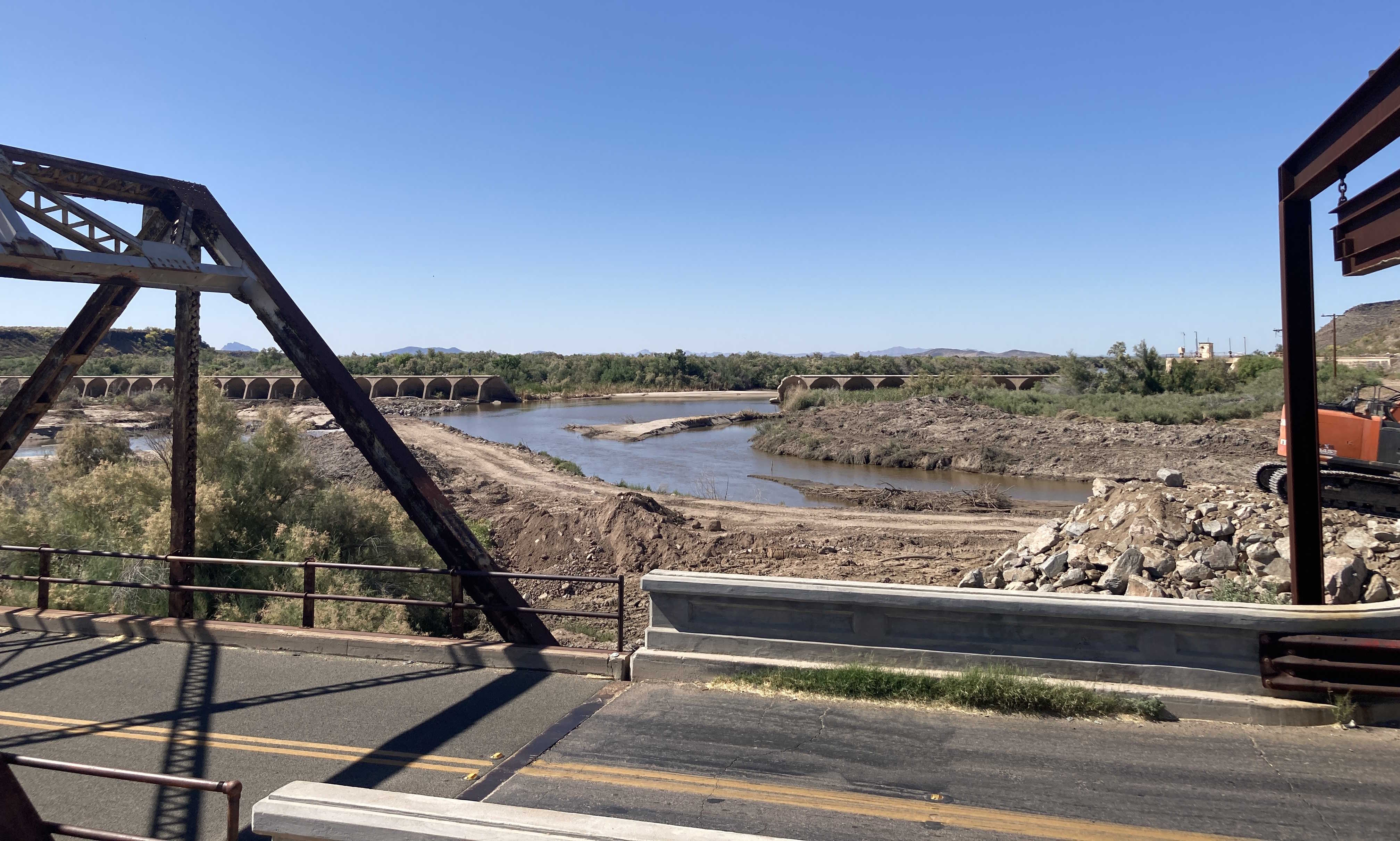
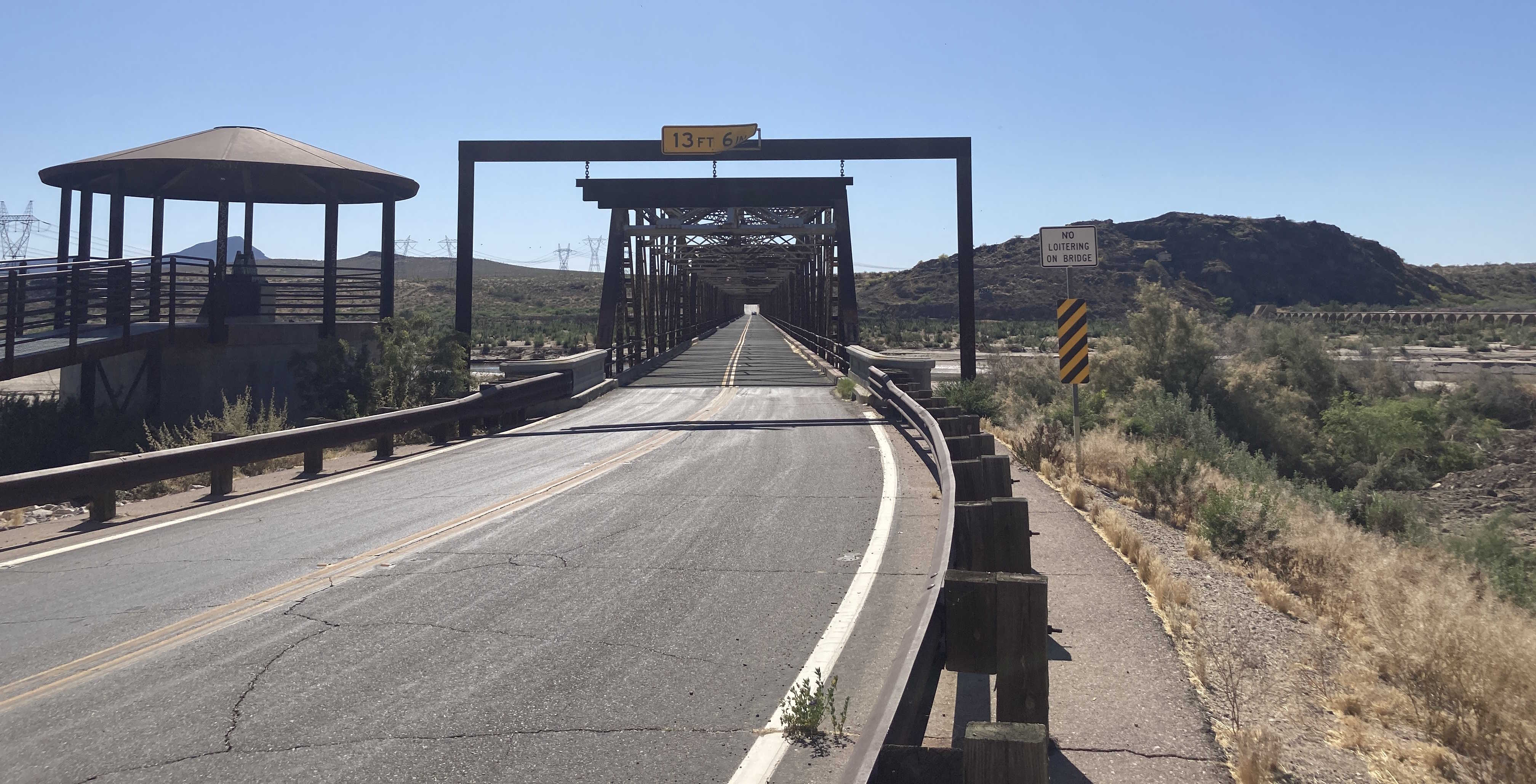
US 80
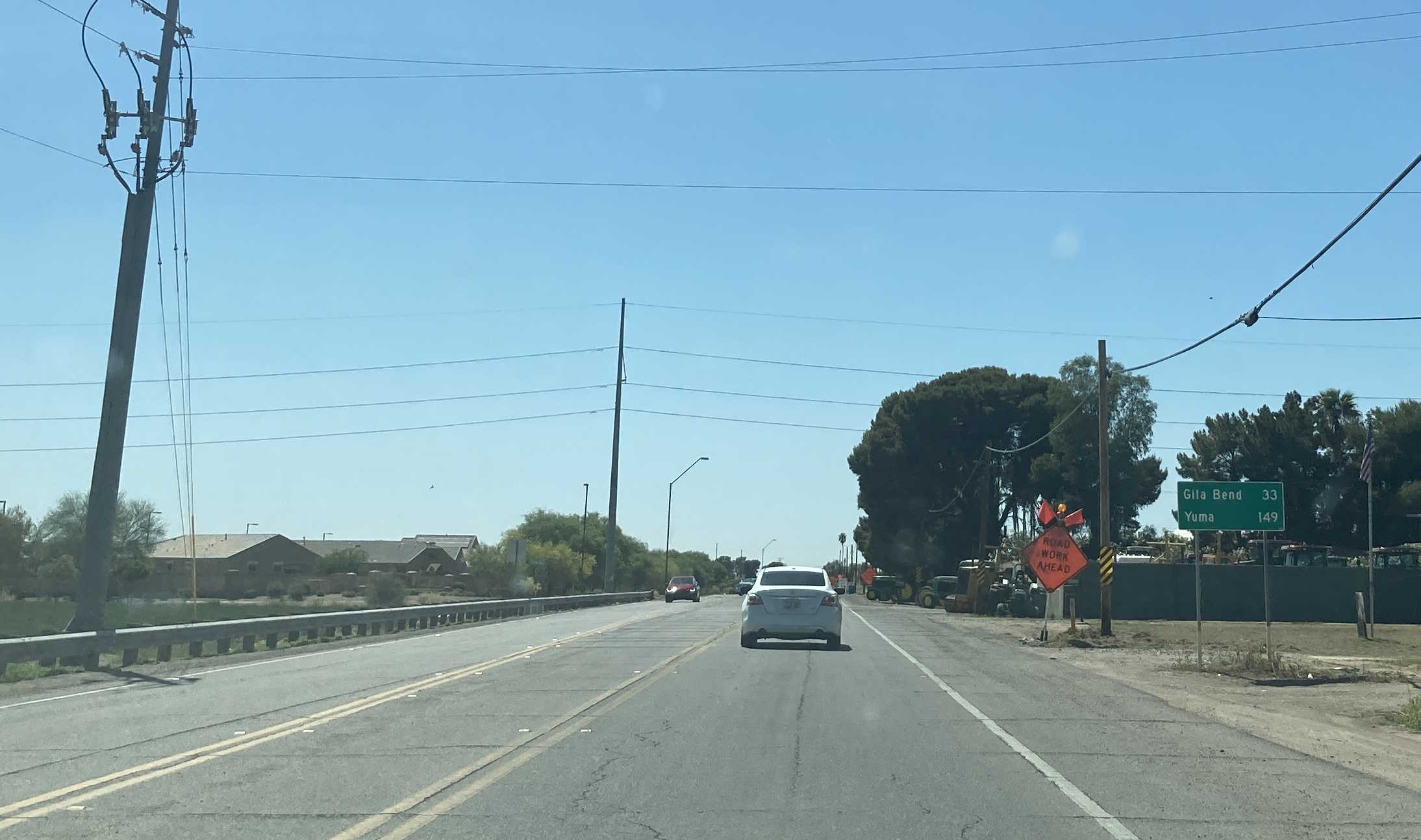
US 80 was a major cross-country route known as the Ocean-to-Ocean Highway from San Diego, CA to Tybee Island, GA. In Arizona, US 80 ran from Yuma, up to Phoenix, then down to Douglas. US 80 was mostly replaced by I-8 and I-10. In Arizona, parts of US 80 are designated as Historic Route 80 and SR 80.
Length: 497.8 miles at its peak
Existed: 1926-1989
Current Route Nationally: Dallas, TX to Tybee Island, GA
Historical Route in Arizona: California state line in Yuma to New Mexico state line near Lordsburg
Historical Route Nationally: San Diego, CA to Tybee Island, GA
Major Junctions: AZ 95, AZ 85, AZ 84, US 60, US 70, US 89, AZ 87, AZ 88, AZ 287, AZ 77, AZ 83, AZ 86, AZ 82, AZ 90, AZ 92, US 666
Cool Features
Related Routes
SR 80
Page last updated: 5/1/2023