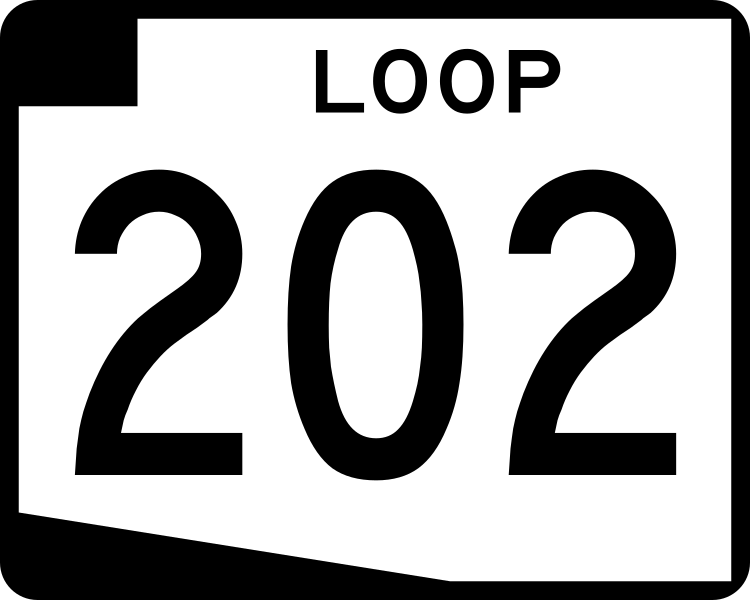
Loop 202
State Route 202 is the second of the 3 highways that "loop" around the Phoenix area. The posted directions change between East/West and North/South as the loop direction changes. Despite being called loops, the highways aren't actually full loops. Loop 202 is now the closest to a full loop with the South Mountain extension.
Cool Features
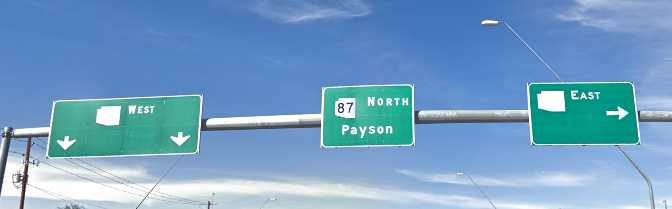
The Loop 202 has three different names along its route. The first section between I-10/AZ 51 and US 60 is the Red Mountain Freeway. Between US 60 and I-10 in Chandler it's the Santan Freeway. Lastly, between I-10 in Chandler and in West Phoenix, the 202 is the Congressman Ed Pastor (South Mountain) Freeway.
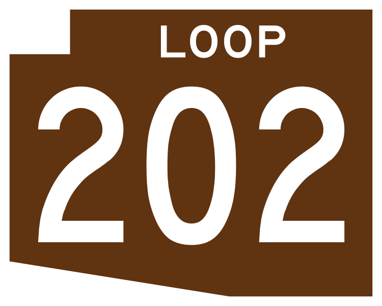 All of the loop highways were originally signed with uniquely colored route shields; the 202's being brown. However, due to this brown shield being very vulnerable to fading easily and that it was seemingly hard for contractors to get the colored signage correct in general, the colored shields were phased out.
Related Routes
SR 202 Spur
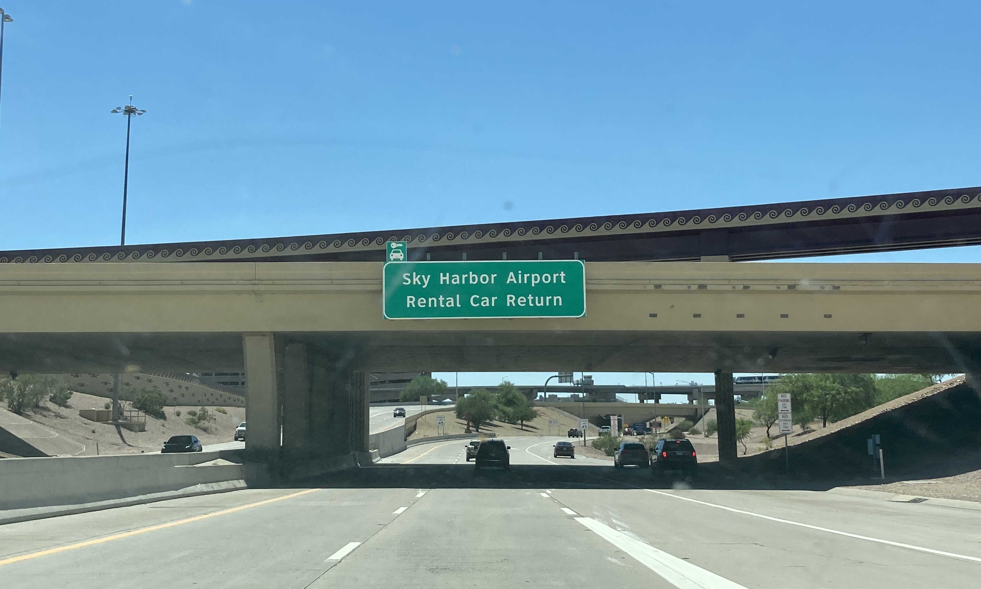
Loop 202 has an unsigned spur route that runs from the east end of Sky Harbor Airport to the Loop 202.
SR 216, SR 217, SR 218, & SR 220
Originally, Loop 202 was proposed as State Route 217 from I-10 in Central Phoenix to Loop 101 (then proposed SR 417), SR 216 from SR 417 to SR 360 (now US 60), SR 220 from SR 360 to I-10 in Chandler/Ahwatukee, and finally from there up to I-10 in West Phoenix as SR 218. This proposal is somewhat similar to how Loop 202 actually turned out, thankfully for the better without 4 different number designations and instead with 1 number and 3 names to help distinguish each section. Now, the SR 216 & 217 segments are the Red Mountain segment of Loop 202, SR 220 is the Santan segment, and SR 218 is the South Mountain segment.
Pictures
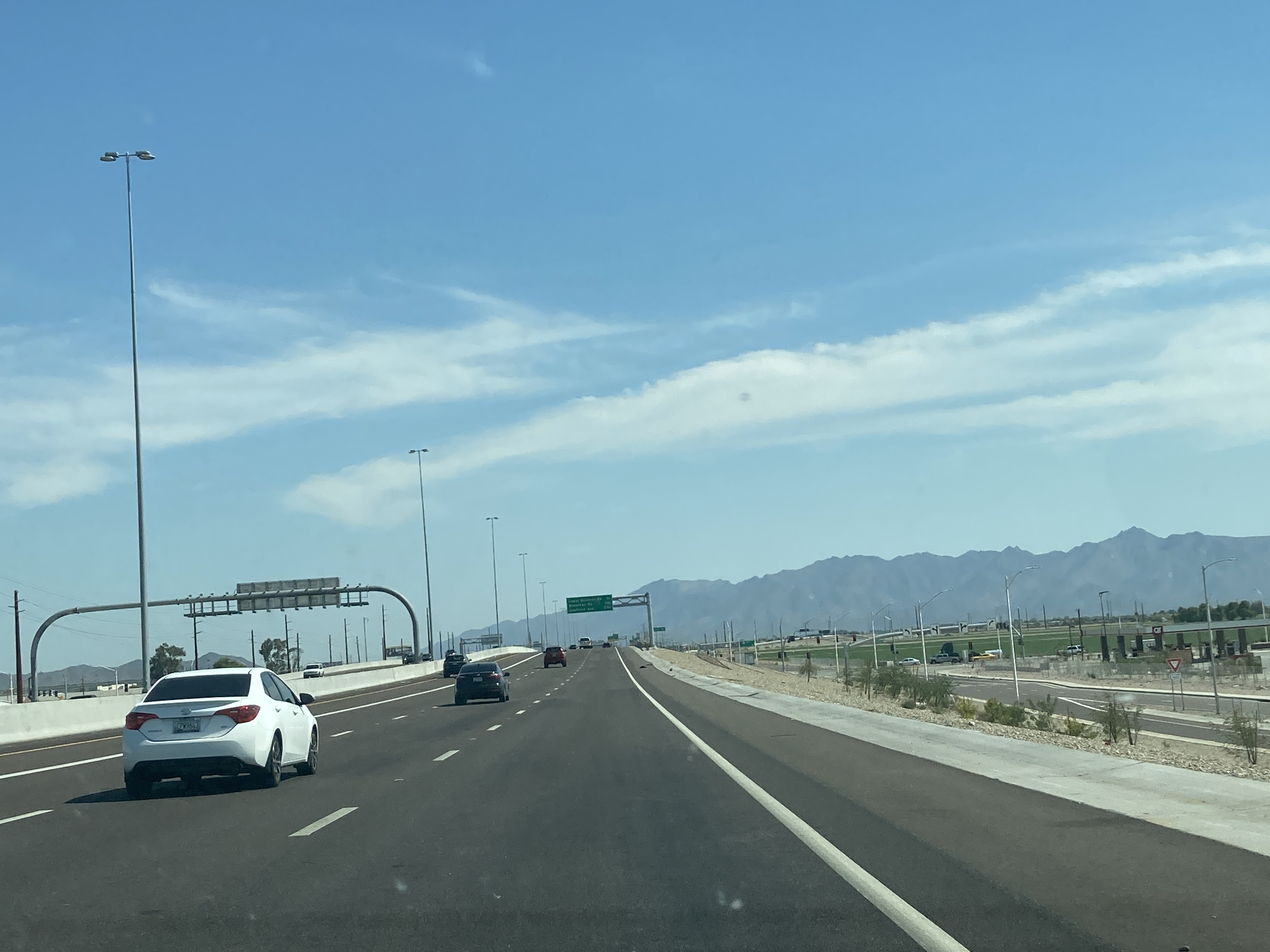
7/10/2021 - Loop 202 South @ Buckeye Rd - Phoenix
10/2/2021 - Loop 202 West, west of Stapley Dr - Mesa

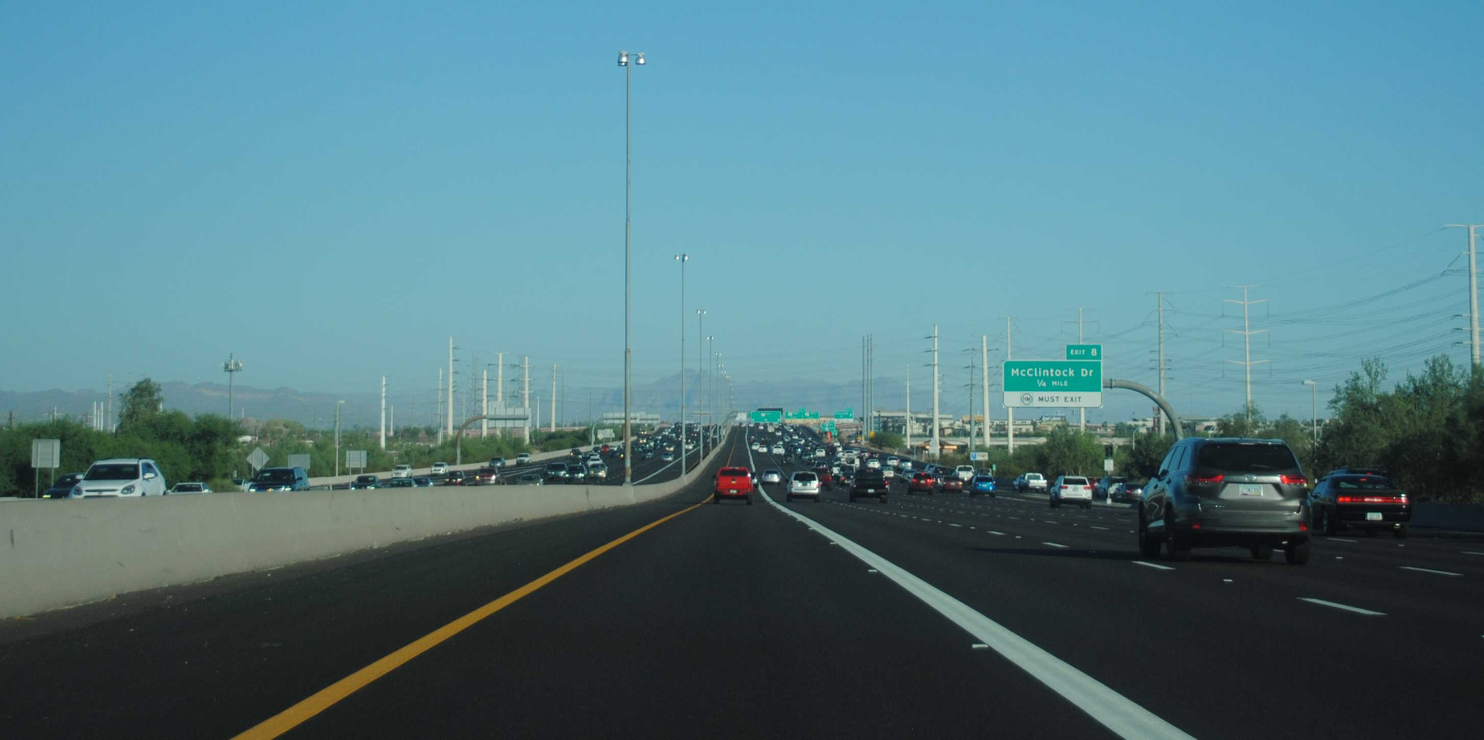
10/6/2021 - Loop 202 East, west of McClintock Dr - Tempe
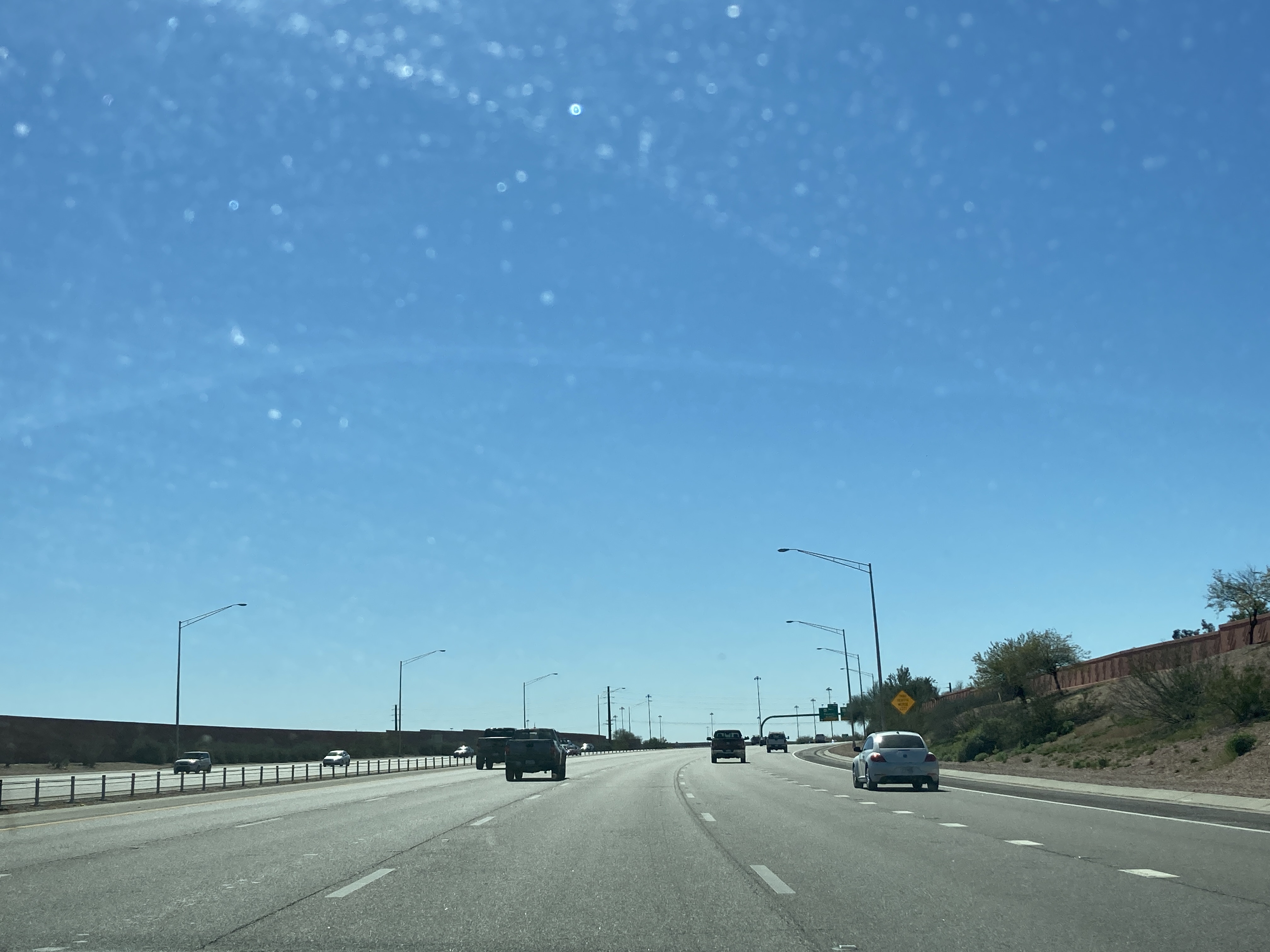
2/19/2022 - Loop 202 South, south of Broadway Rd - Mesa
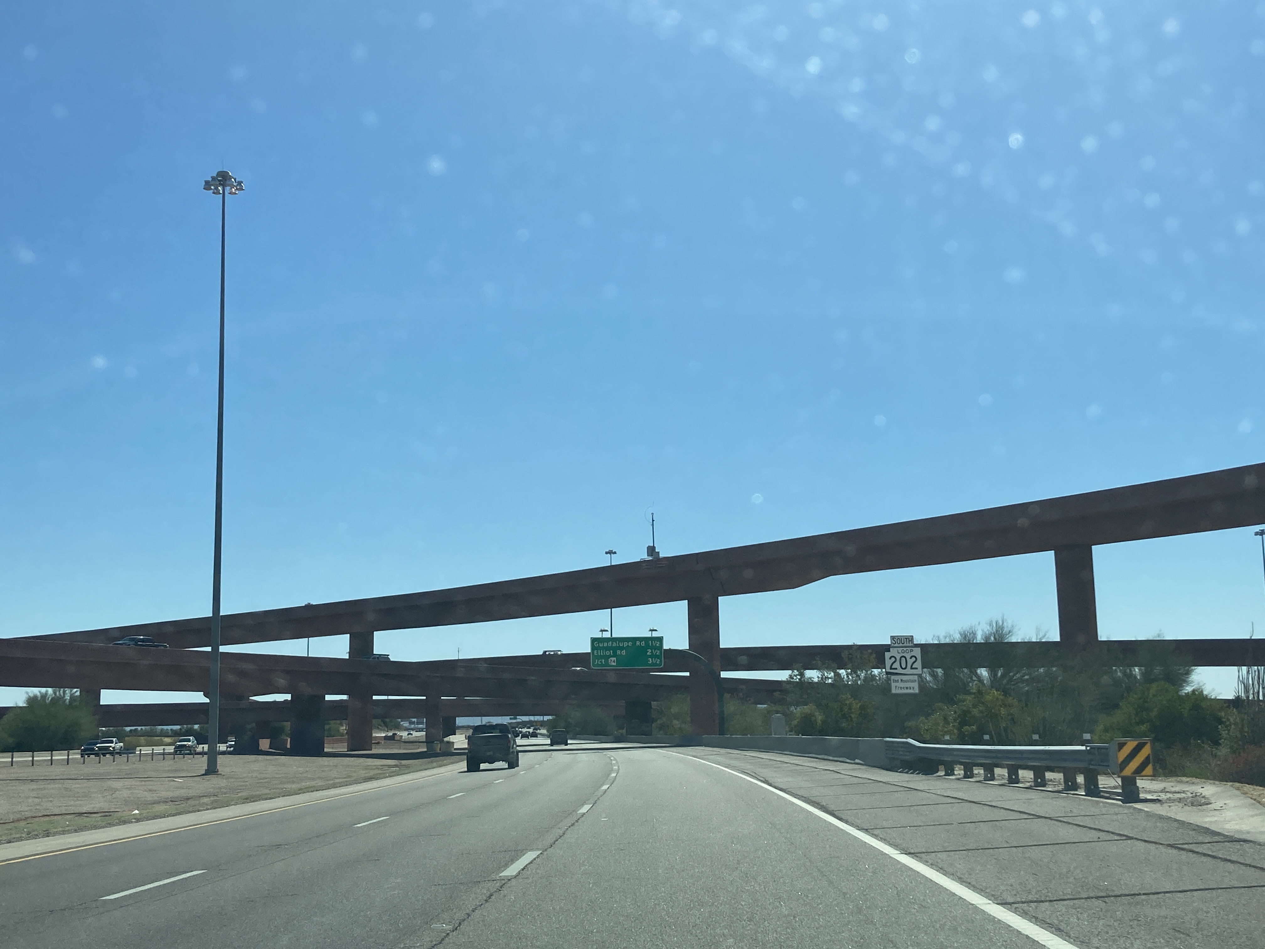
2/19/2022 - Loop 202 South @ US 60 - Mesa
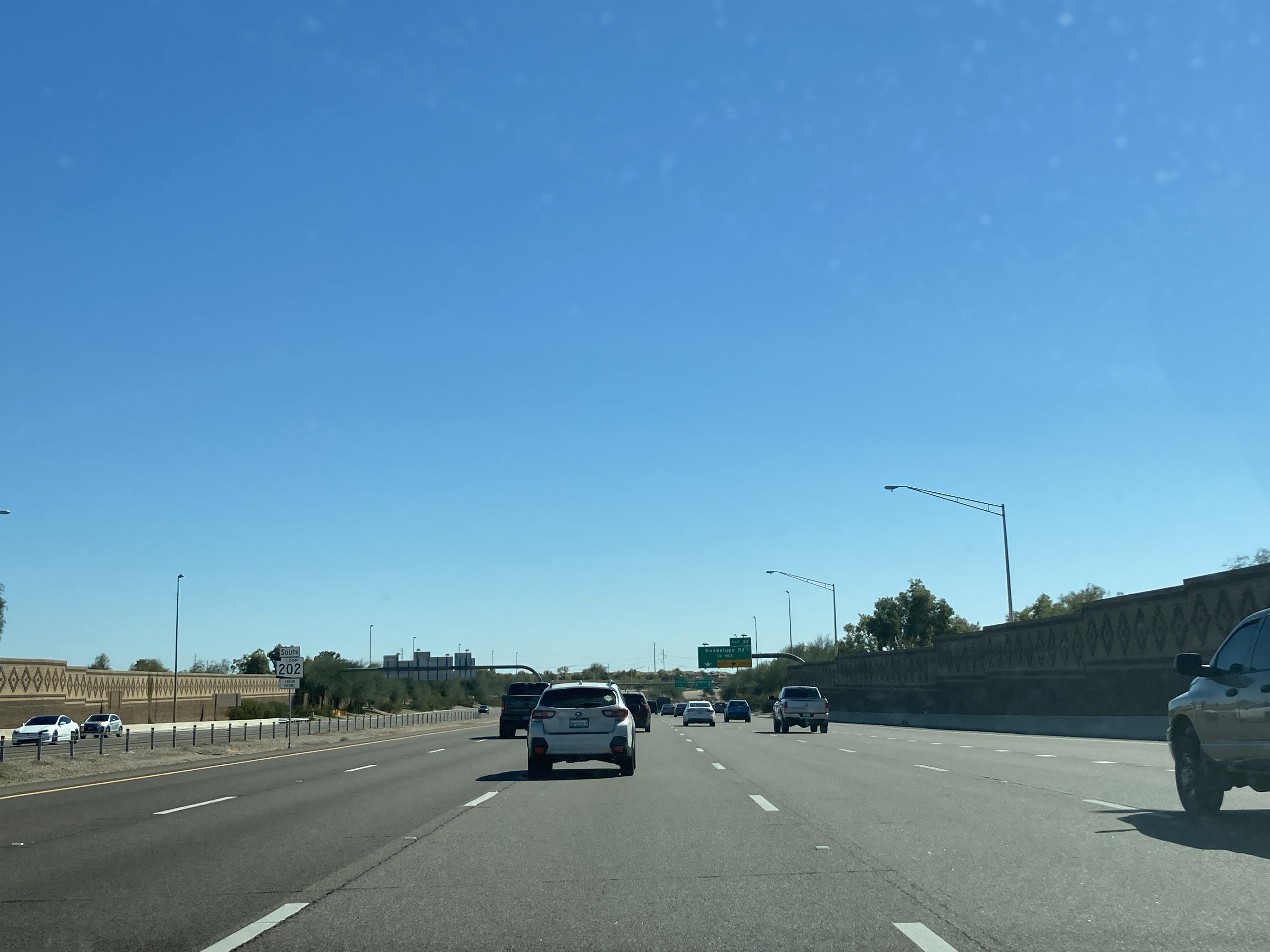
2/19/2022 - Loop 202 South, south of Baseline Rd - Mesa
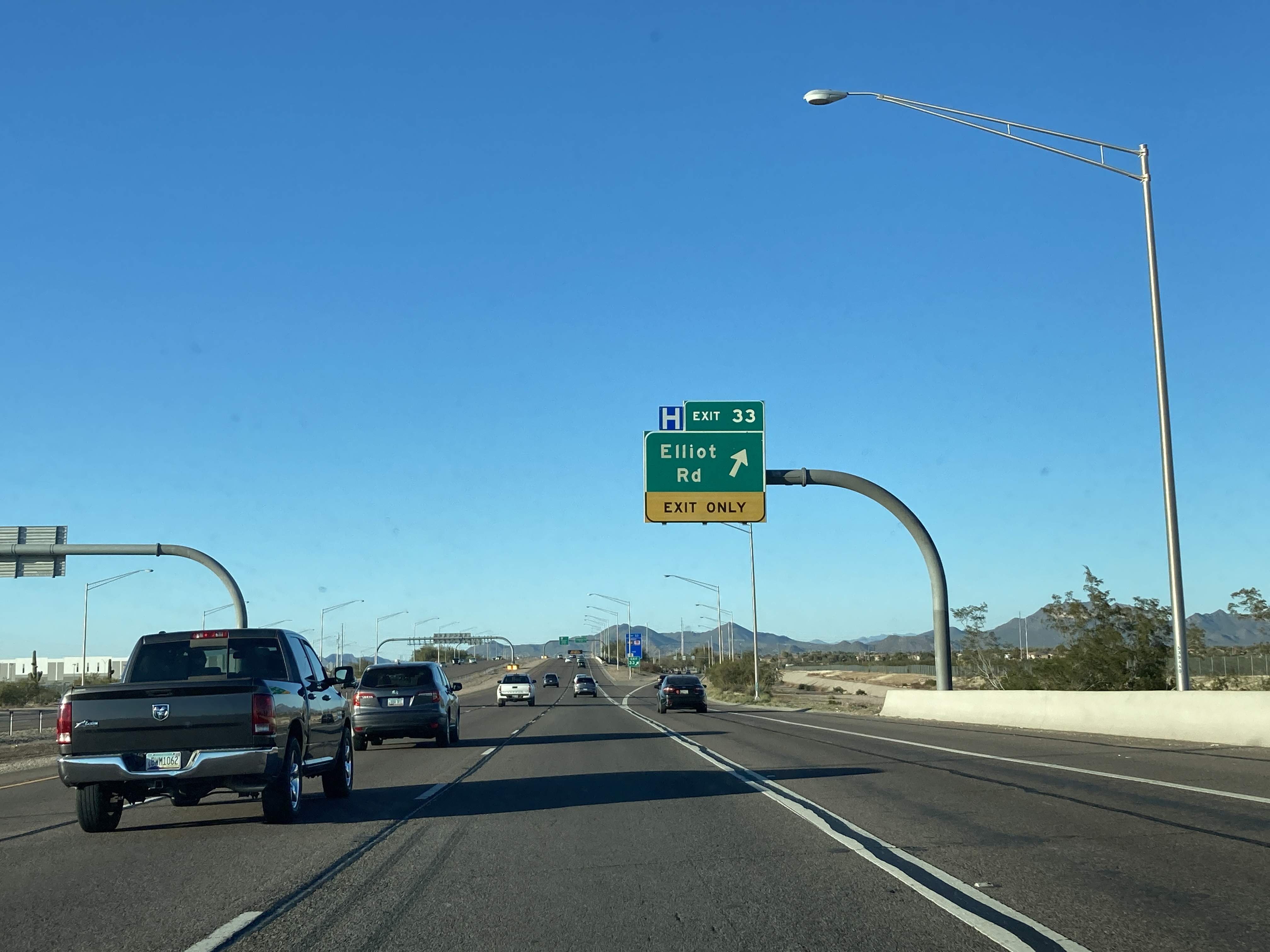
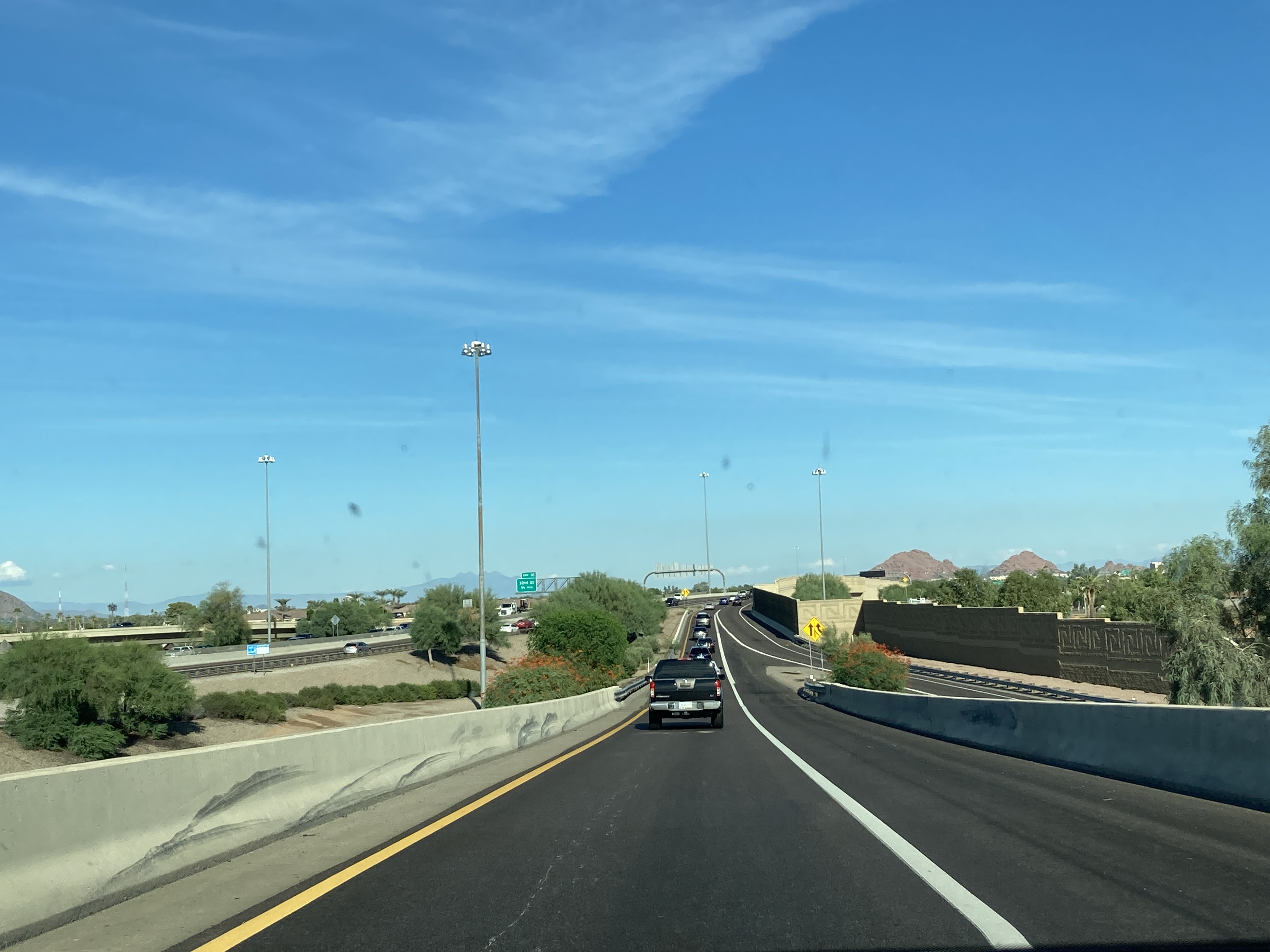
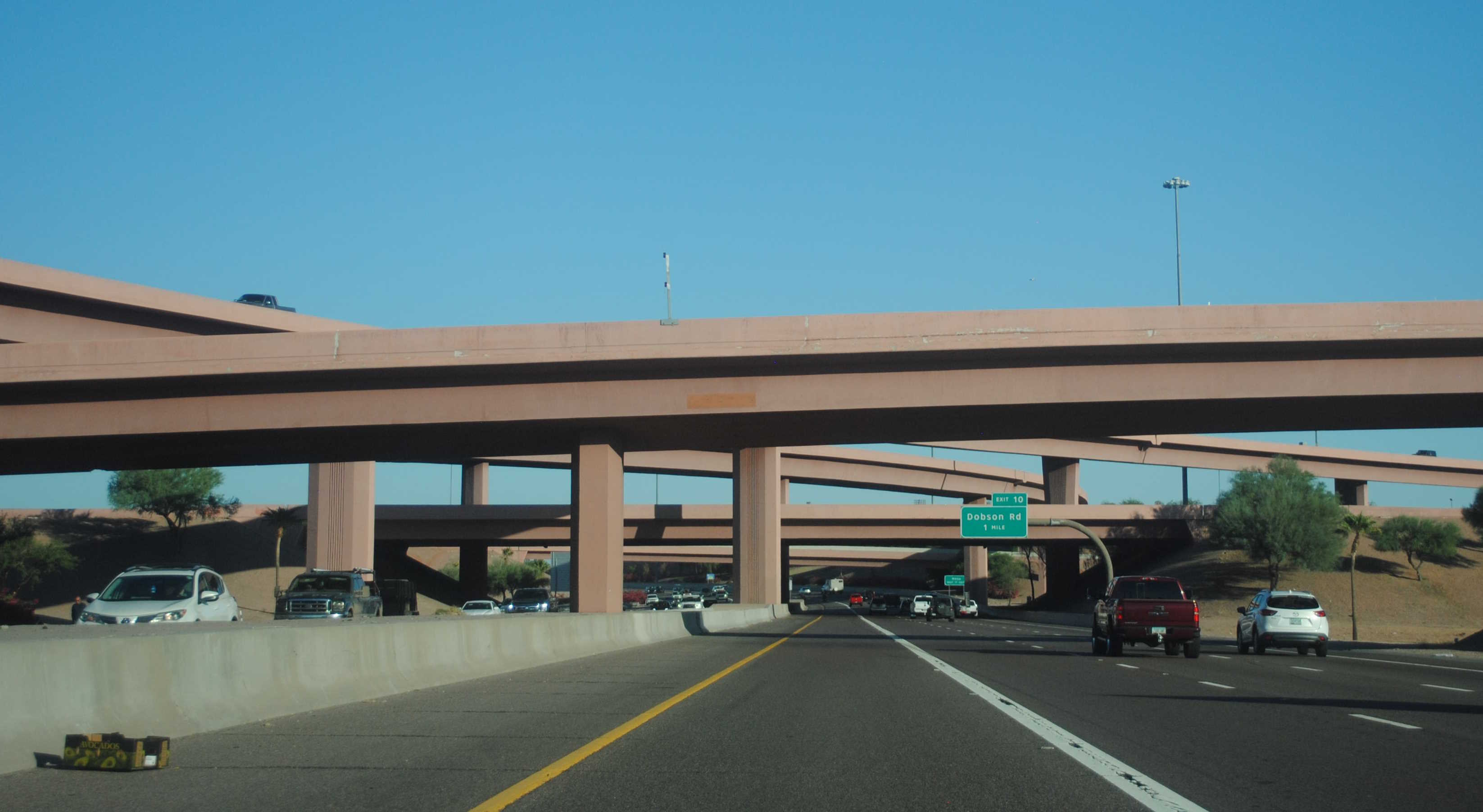
2/19/2022 - Loop 202 North @ Elliot Rd exit - Mesa
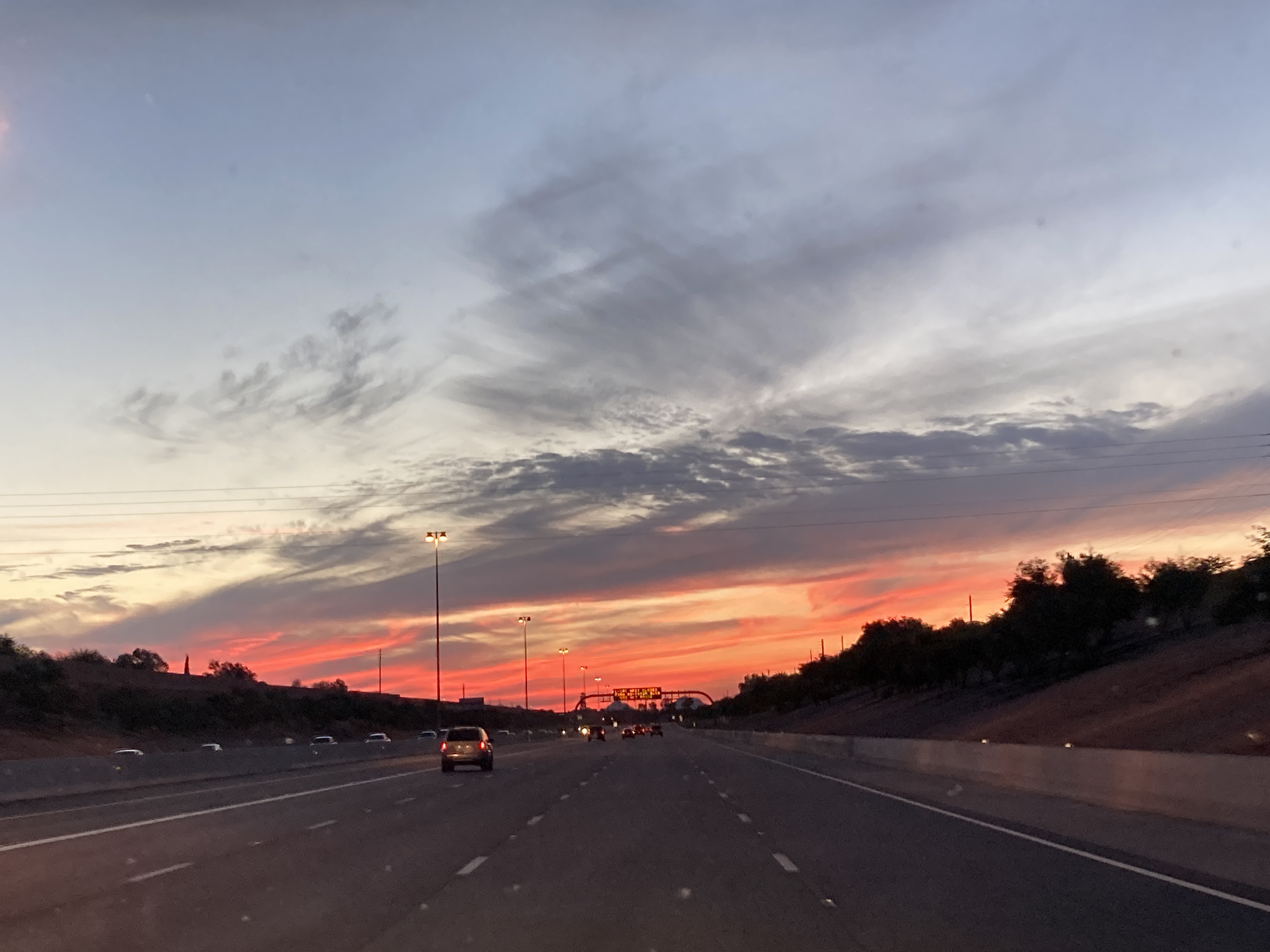
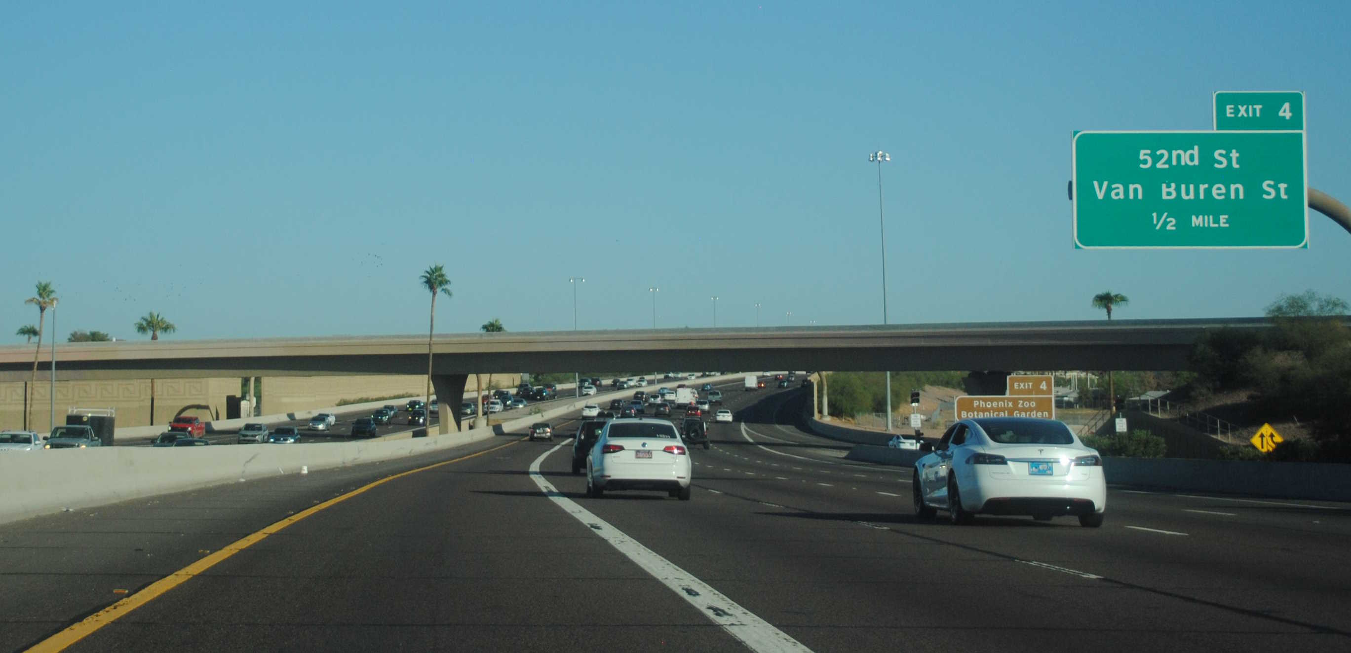
10/28/2023- Loop 202 East @ 40th St - Phoenix
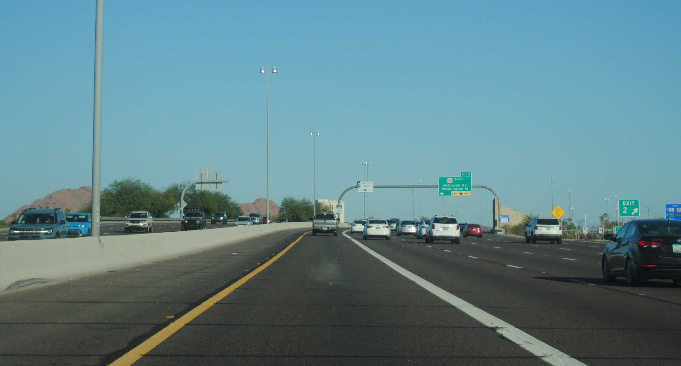
10/28/2023- Loop 202 East @ SR 143 - Phoenix
10/28/2023- Loop 202 East, east of Mill Ave - Tempe
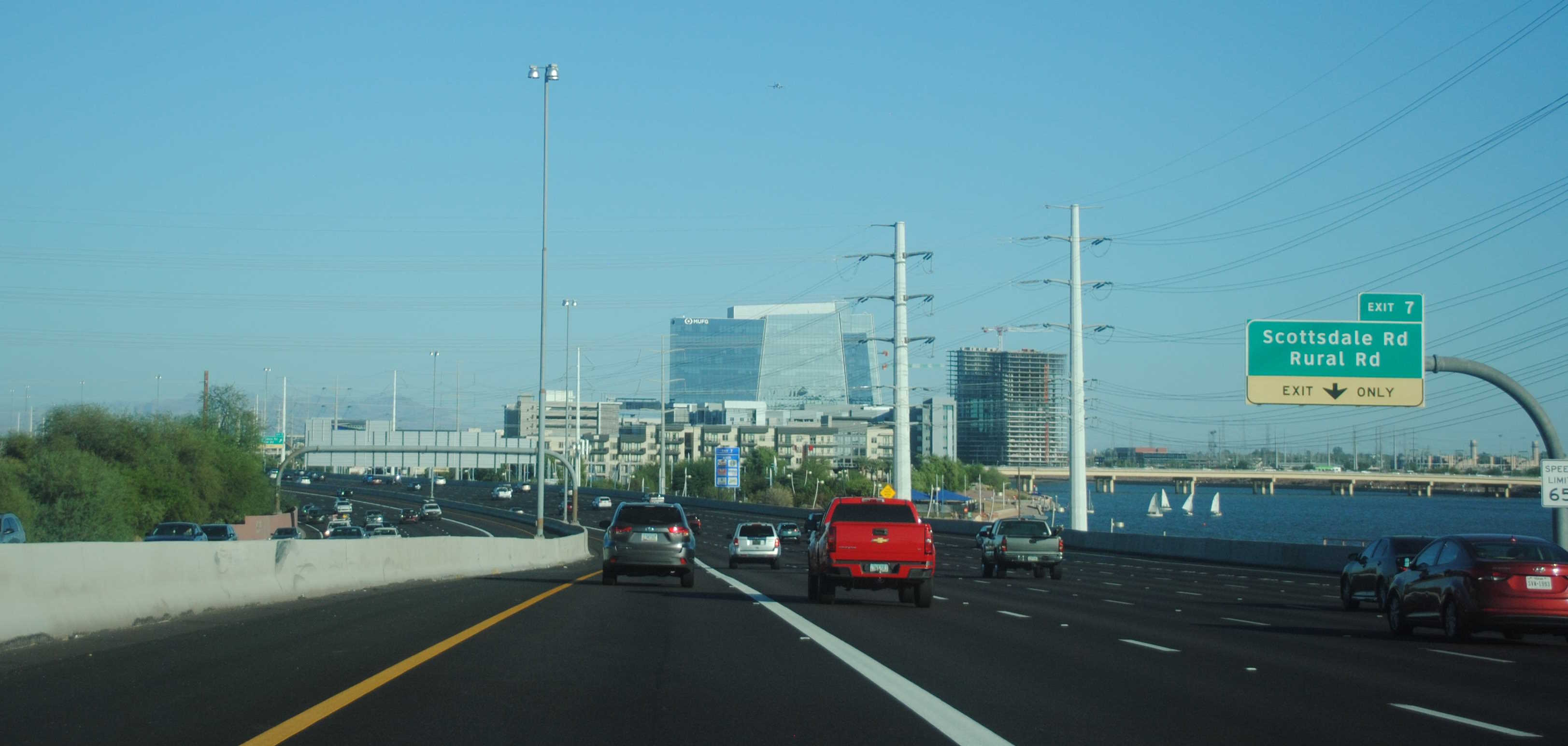
10/28/2023- Loop 202 East @ Scottsdale Rd - Tempe
10/28/2023- Loop 202 East @ Loop 101 - Tempe
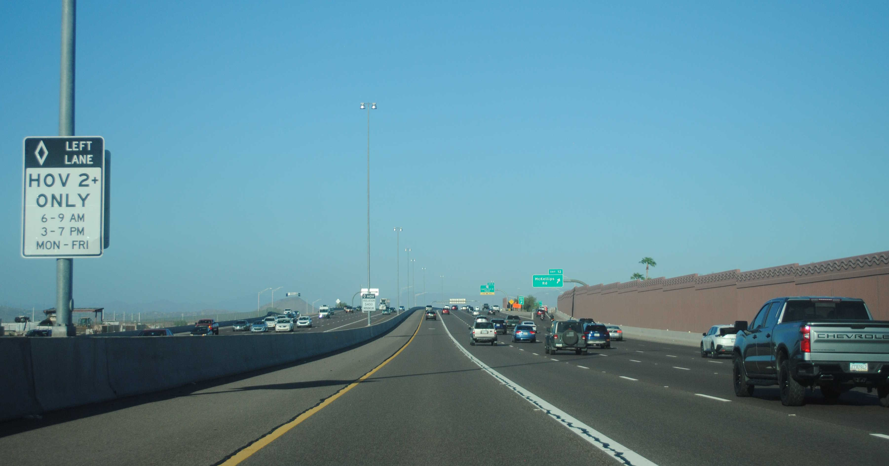
10/28/2023- Loop 202 East @ McKellips Rd exit - Mesa
Exit List
| Exit/ Mile | Clockwise Exits Read down | Counterclockwise Exits Read up | ||||
|---|---|---|---|---|---|---|
| Red Mountain Freeway | ||||||
| 1A |
| |||||
| ◊ HOV EXIT | ||||||
| 1B | 24th St | 24th St | ||||
| 1C | 32nd St | 32nd St | ||||
| 2 | 40th St 44th St | 44th St | ||||
| 3 |
| |||||
| 4 | Van Buren St 52nd St | Van Buren St 52nd St | ||||
| Phoenix Zoo Botanical Garden | Phoenix Zoo Botanical Garden | |||||
| 5 | TO Sky Harbor Airport | |||||
| 6 | Priest Dr Center Pkwy Downtown Tempe | Center Pkwy Priest Dr Downtown Tempe | ||||
| 7 | Scottsdale Rd Rural Rd Arizona State University - Tempe | Scottsdale Rd Rural Rd Arizona State University - Tempe | ||||
| 8 | McClintock Dr | |||||
| Hazardous Materials Must Exit | ||||||
| 9 | NORTH | SOUTH | ||||
| 10 | Dobson Rd | Dobson Rd | ||||
| 11 | Alma School Rd | Alma School Rd | ||||
| 12 | McKellips Rd | |||||
| 13 | Country Club Dr Payson | Country Club Dr Payson | ||||
| 16 | Gilbert Rd McDowell Rd | McDowell Rd Gilbert Rd | ||||
| 19 | Val Vista Dr | Val Vista Dr | ||||
| 20 | Greenfield Rd Falcon Field Airport | Greenfield Rd Falcon Field Airport | ||||
| 21 | Higley Rd | Higley Rd | ||||
| 22 | Recker Rd | Recker Rd | ||||
| 23A | Power Rd | |||||
| Signed as East/West | ||||||
| Signed as South/North | ||||||
| 23B | McDowell Rd | |||||
| 24 | McKellips Rd Mesa Comm College Red Mountain Campus | McKellips Rd Mesa Comm College Red Mountain Campus | ||||
| 26 | Brown Rd | Brown Rd | ||||
| 27 | University Dr Apache Tr - Main St | University Dr | ||||
| 28 | Broadway Rd | Broadway Rd Main St - Apache Tr | ||||
| 30A | Phoenix | Phoenix | ||||
| 30B | Globe | Globe | ||||
| Red Mountain Freeway | ||||||
| Santan Freeway | ||||||
| 31 | Baseline Rd | |||||
| 32 | Guadalupe Rd | Guadalupe Rd | ||||
| 33 | Elliot Rd | Elliot Rd | ||||
| 34A | Ellsworth Rd | Ellsworth Rd | ||||
| Signed as South/North | ||||||
| Signed as West/East | ||||||
| 34B | Hawes Rd Gateway Airport | Hawes Rd | ||||
| 36 | Power Rd Arizona State Univ - Polytechnic CGCC - Williams | Power Rd Gateway Airport Arizona State Univ - Polytechnic CGCC - Williams | ||||
| 38 | Higley Rd | Higley Rd | ||||
| 40 | Williams Field Rd Arizona State University Polytechnic Campus | Williams Field Rd Arizona State University Polytechnic Campus | ||||
| 41 | Santan Village Pkwy | |||||
| 42 | Val Vista Dr | Val Vista Dr | ||||
| 43 | Lindsay Rd | Lindsay Rd | ||||
| 44 | Gilbert Rd Chandler - Gilbert Comm College Pecos Campus | Gilbert Rd Chandler - Gilbert Comm College Pecos Campus | ||||
| 45 | Cooper Rd Chandler Municipal Airport | Cooper Rd Chandler Municipal Airport | ||||
| 46 | McQueen Rd | McQueen Rd | ||||
| 47 | Jct Arizona Ave | Arizona Ave | ||||
| 48 | Alma School Rd | Alma School Rd | ||||
| 49 | Dobson Rd | |||||
| 50A | ||||||
| 50B | Price Rd | Price Rd | ||||
| 50C | ◊ HOV EXIT | |||||
| LEFT EXIT | ||||||
| 51 | McClintock Dr Chandler Village Dr | |||||
| 53 | Kyrene Rd | Kyrene Rd | ||||
| 55A-B |
|
| ||||
| 55C | ◊ HOV EXIT | |||||
| LEFT EXIT | ||||||
| Santan Freeway | ||||||
| Congressman Ed Pastor (South Mountain) Freeway | ||||||
| 56 | 40th St | 40th St | ||||
| 57 | 32nd St | 32nd St | ||||
| 58 | 24th St | 24th St | ||||
| 60 | Desert Foothills Pkwy | Desert Foothills Pkwy | ||||
| 62 | 17th Ave | 17th Ave | ||||
| Signed as West/East | ||||||
| Signed as North/South | ||||||
| 66 | Vee Quiva Way | Vee Quiva Way | ||||
| 68 | Estrella Dr | Estrella Dr | ||||
| 69 | Elliot Rd | Elliot Rd | ||||
| 70 | Dobbins Rd | Dobbins Rd | ||||
| 71 | Baseline Rd | Baseline Rd | ||||
| 72 | Southern Ave | Southern Ave | ||||
| 73 | Broadway Rd | Broadway Rd | ||||
| 74 | Lower Buckeye Rd | Lower Buckeye Rd | ||||
| 76 | Buckeye Rd | Buckeye Rd | ||||
| 77 | Van Buren St | |||||
| 78A | Los Angeles | |||||
| 78B | Phoenix | |||||
| ◊ HOV EXIT | ||||||
| Congressman Ed Pastor (South Mountain) Freeway | ||||||
Page last updated: 7/8/2024