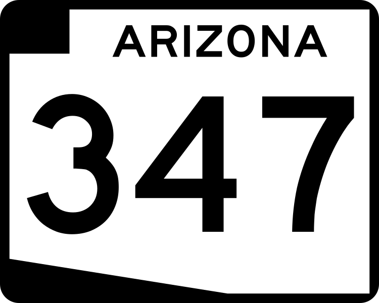
AZ 347
State Route 347 is a highway that mostly serves the town of Maricopa. It can also be used as a shortcut between I-10 and I-8.
Length: 28.7 miles
Existed since: 1997
Current Route: AZ 84 near Stanfield to I-10 in the Gila River Indian Community
Major Junctions: AZ 84, AZ 238, I-10
Cool Features
Despite being numbered as 347, there is no SR 47 that would serve as the parent to this route. Instead, SR 347 is taken from the Federal Aid secondary route number that was assigned by the FHWA. SR 143 and SR 238 are also numbered weirdly without a parent route, but have different reasons for their numbering.
Pictures
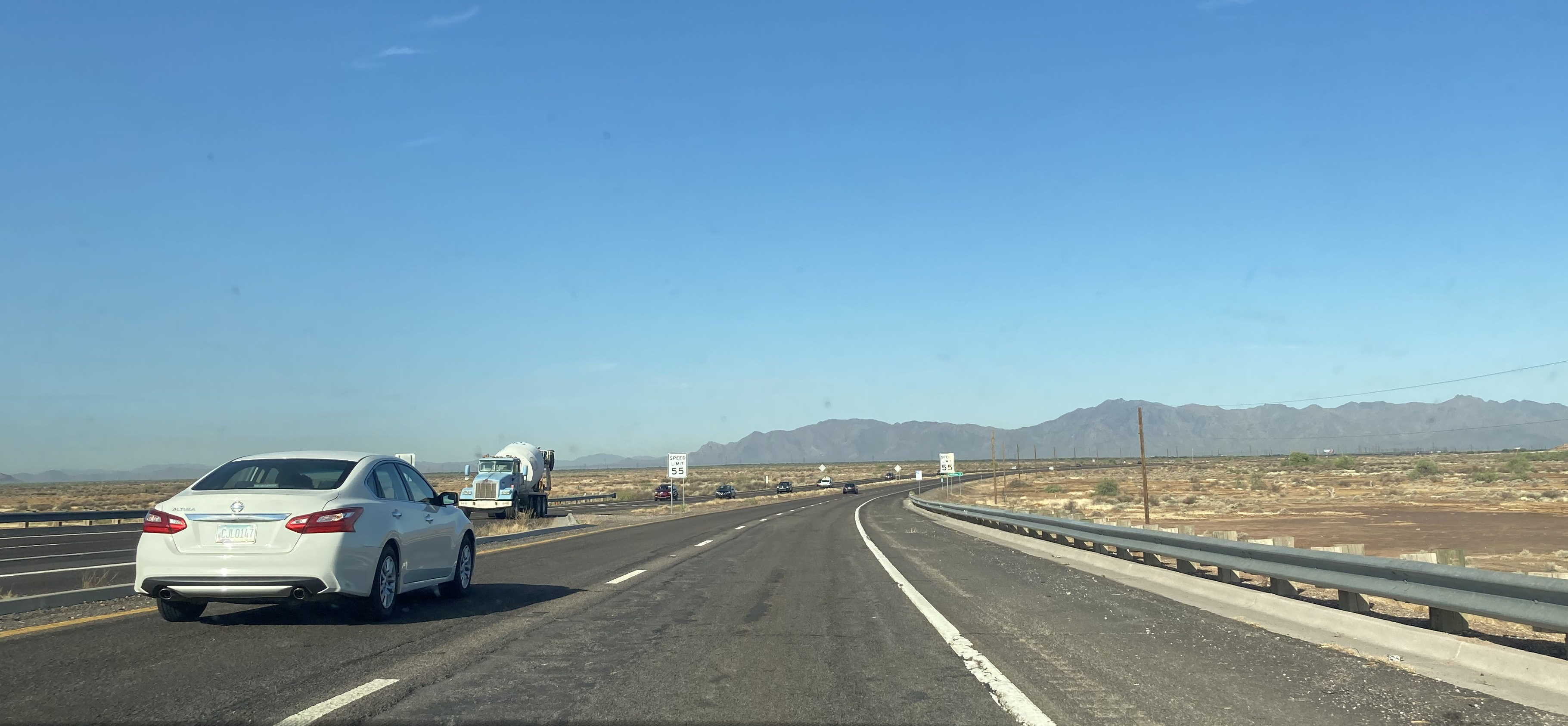
7/25/2020 - SR 347 South @ I-10 - Gila River Indian Community
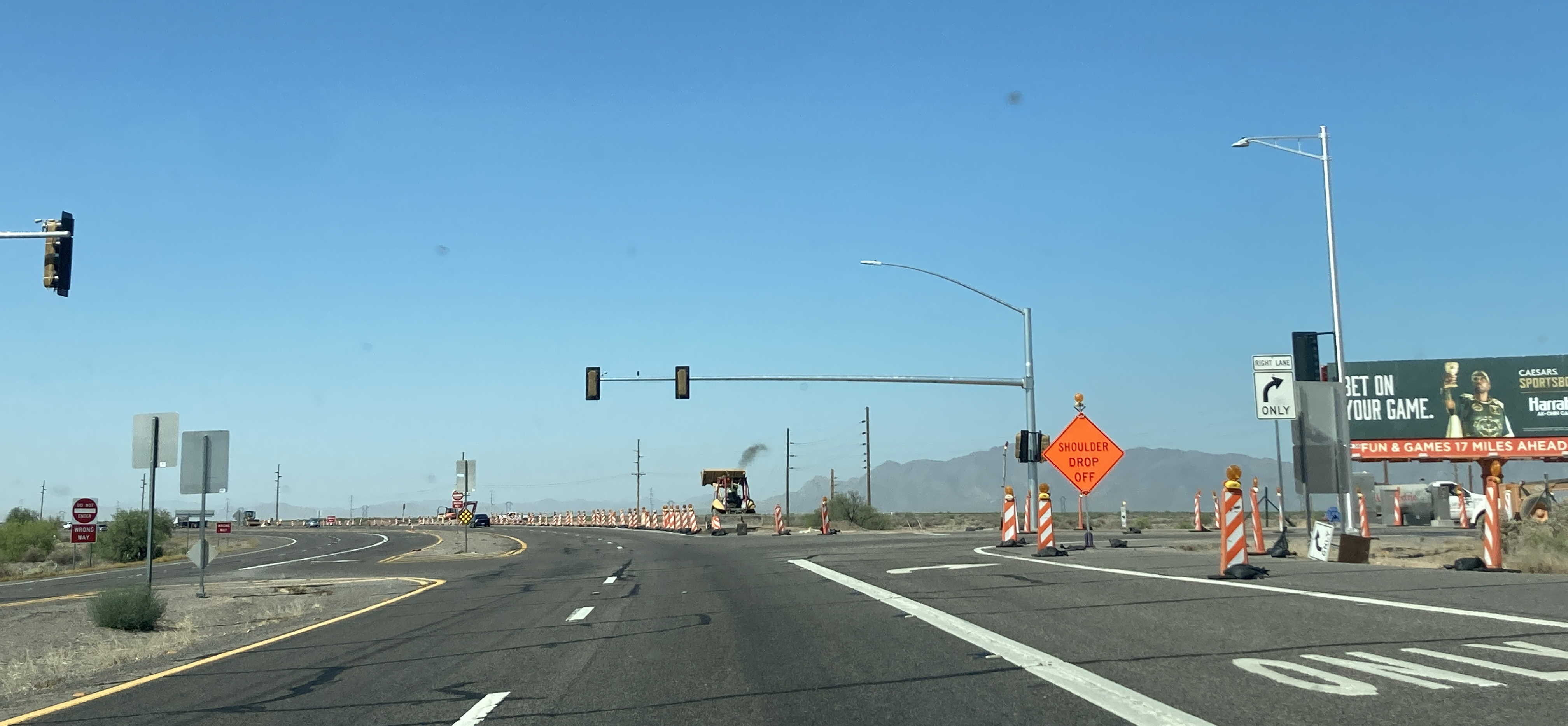
5/26/2022 - SR 347 South @ Maricopa Rd - Gila River Indian Community
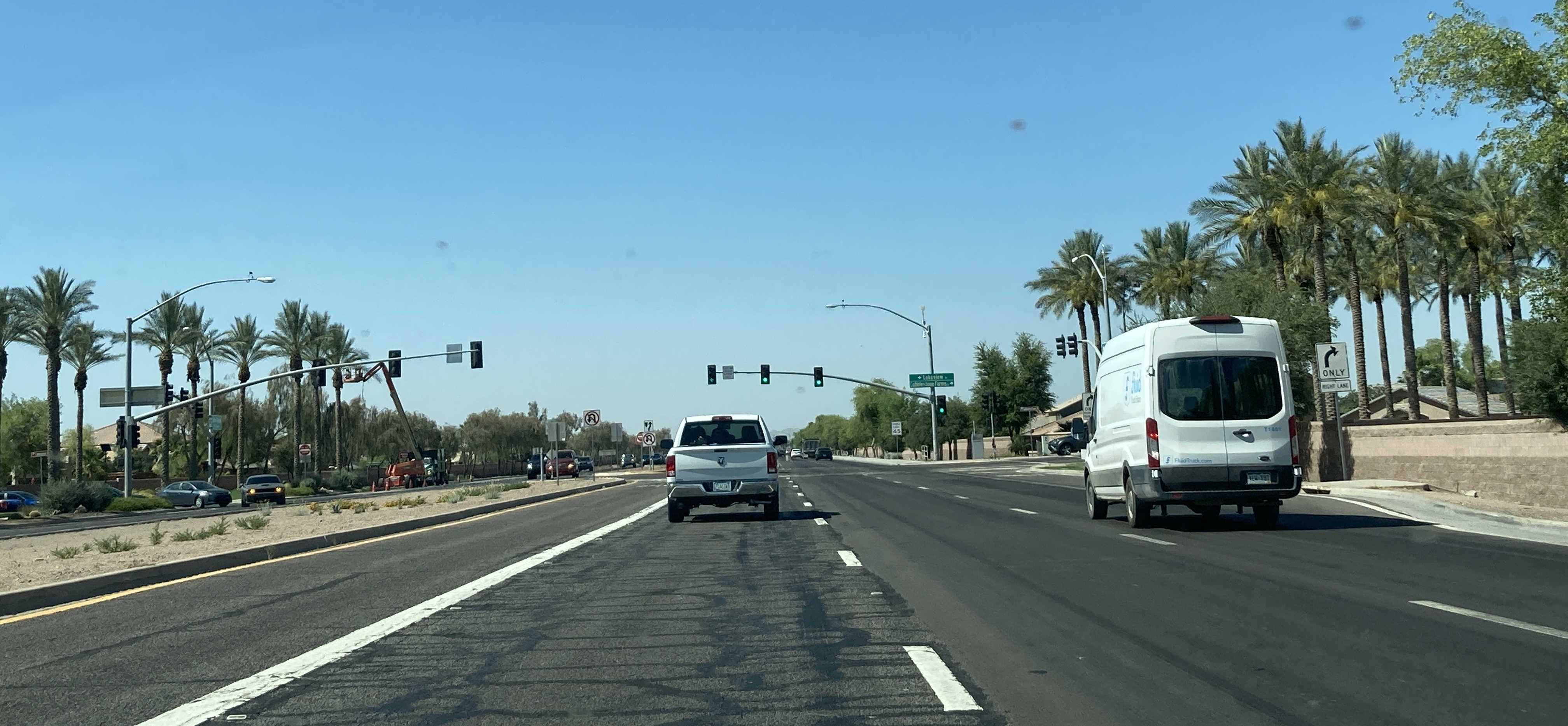
5/26/2022 - SR 347 South (John Wayne Pkwy) @ Lakeview Dr - Maricopa
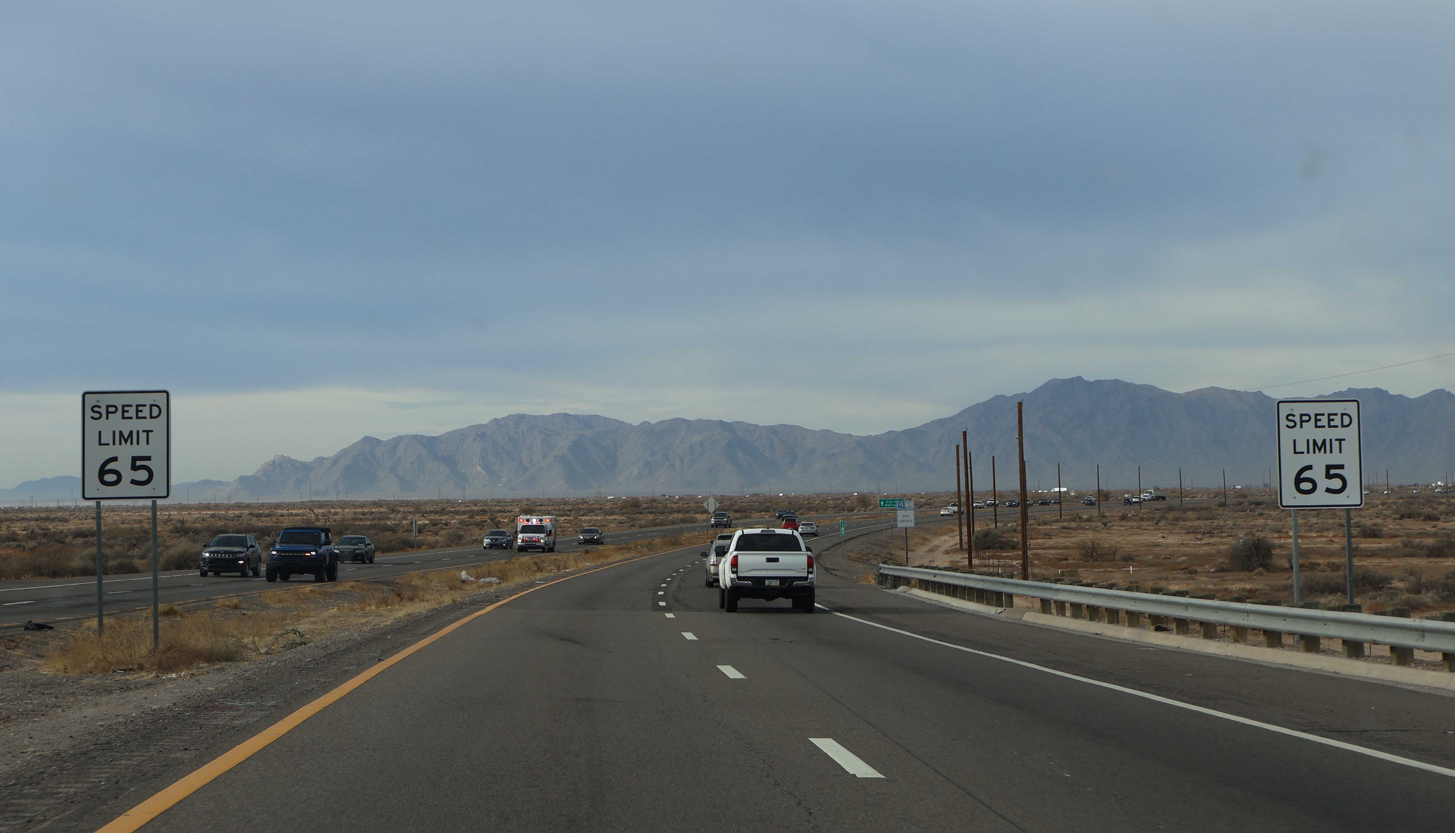
12/26/2024 - SR 347 South @ I-10 - Gila River Indian Community
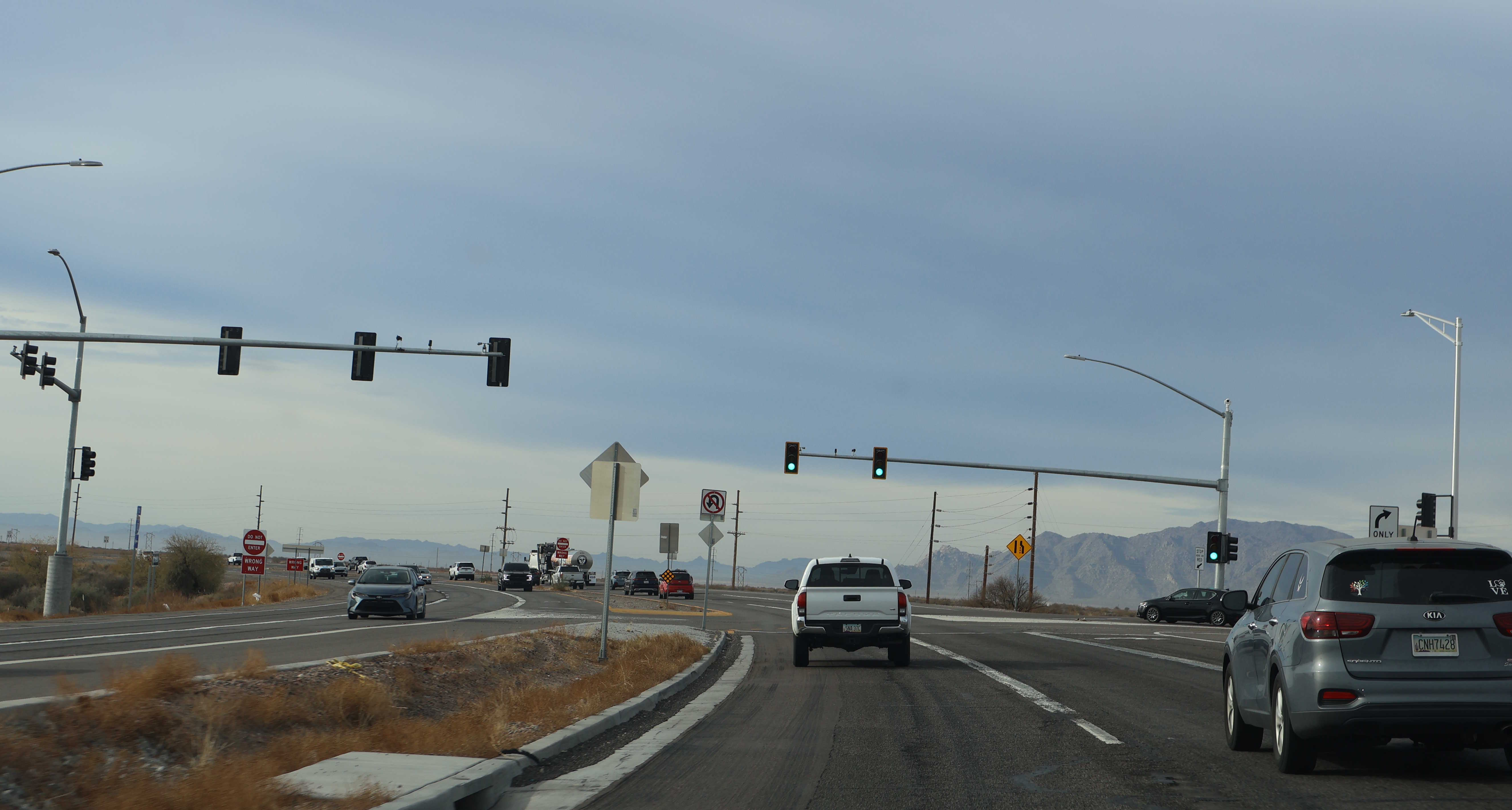
12/26/2024 - SR 347 South @ Maricopa Rd - Gila River Indian Community
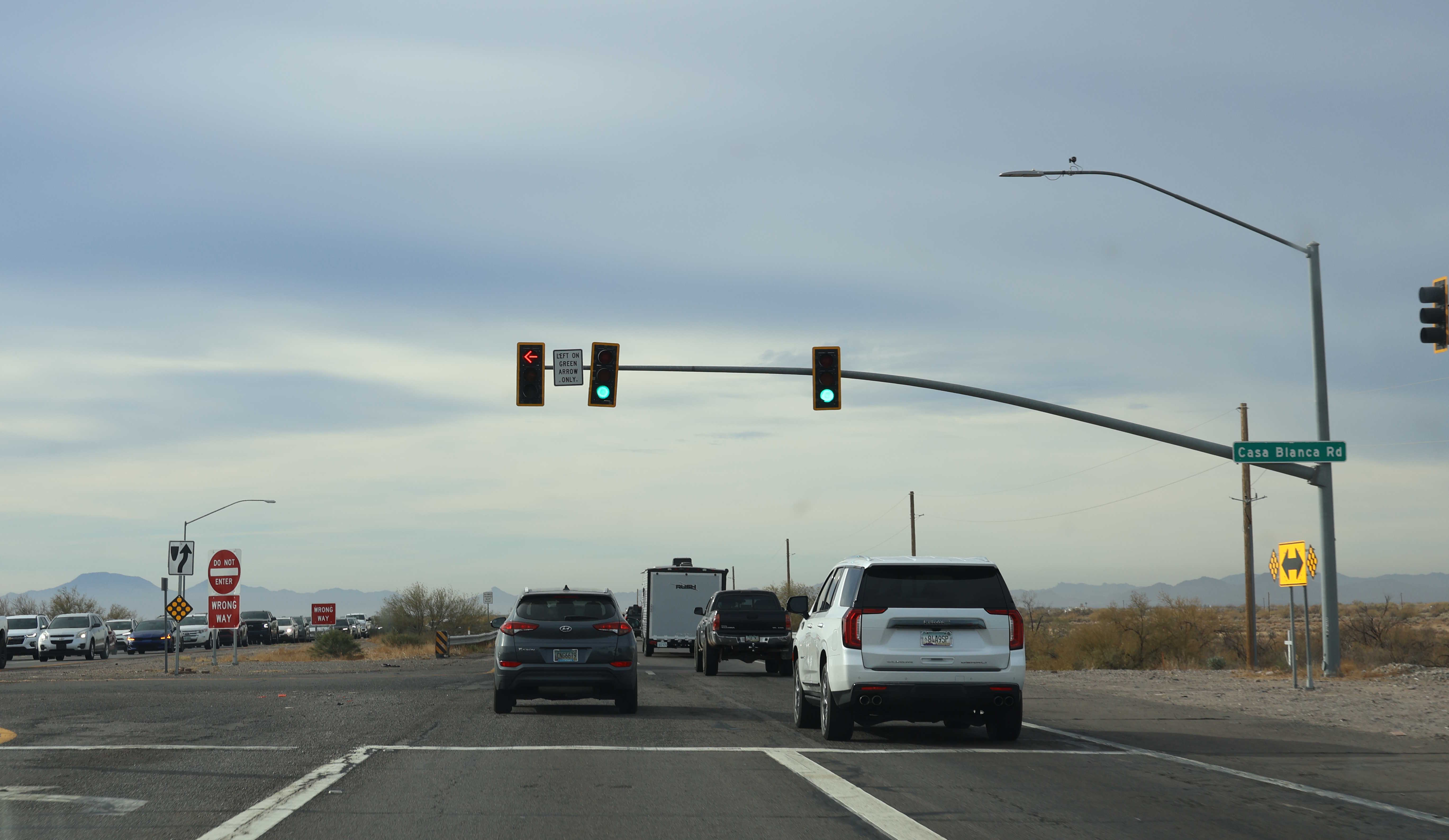
12/26/2024 - SR 347 South @ Casa Blanca Rd - Gila River Indian Community
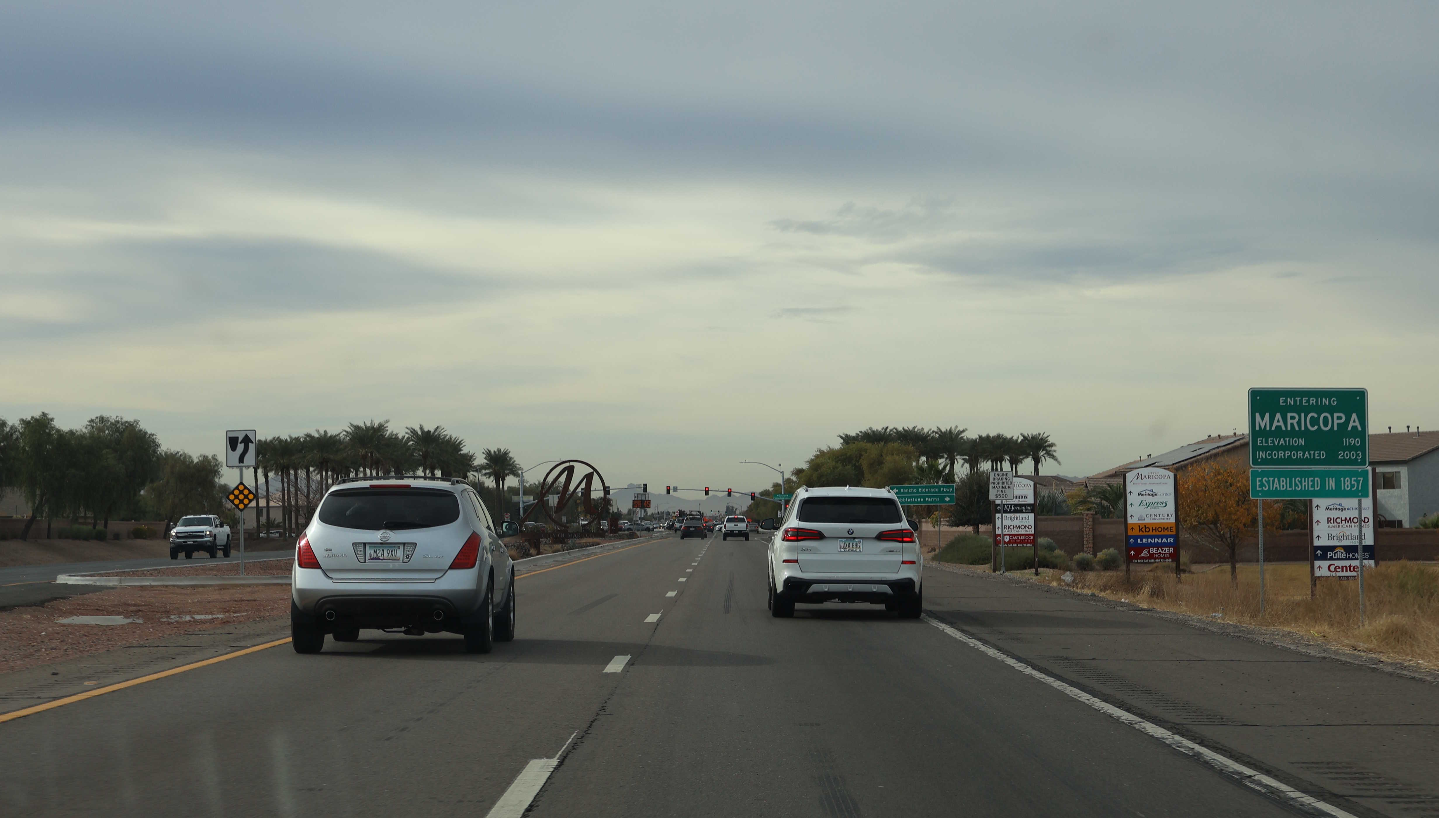
12/26/2024 - SR 347 South (John Wayne Pkwy), north of Lakeview Dr - Maricopa
Previous Next
Page last updated: 1/17/2025


