AZ 73
State Route 73 is like a half-loop through the Ft. Apache Indian Reservation. It runs from US 60 in Carrizo to AZ 260 at Indian Pine. SR 73 used to be longer, but AZ 260 cut it off from Indian Pine to Springerville and south of Ft. Apache it became Indian Route 9.
Cool Features
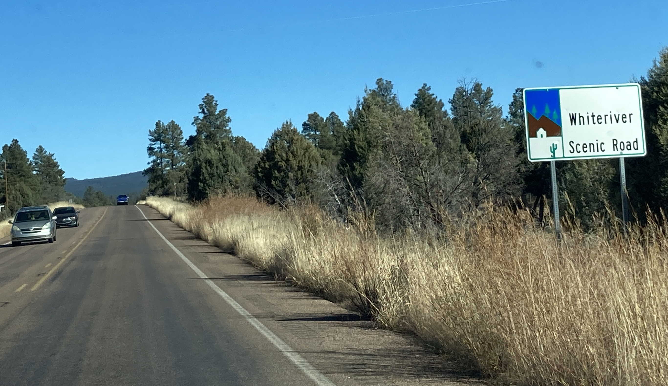
SR 73 is designated the Whiteriver Scenic Road.
Pictures
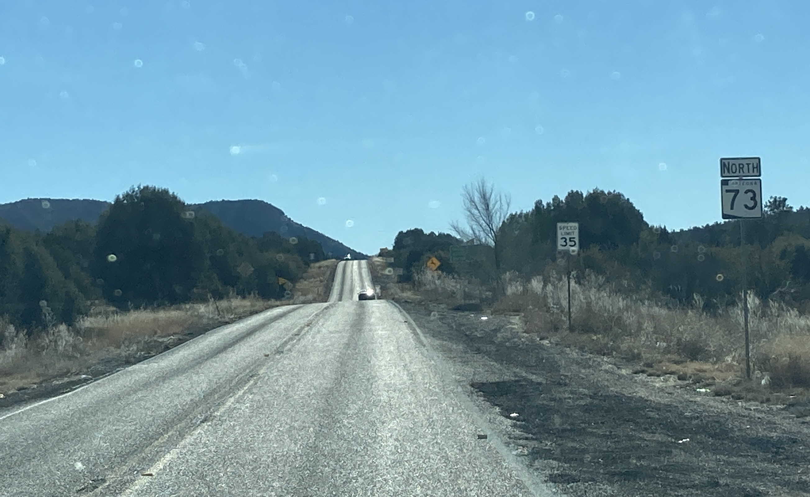
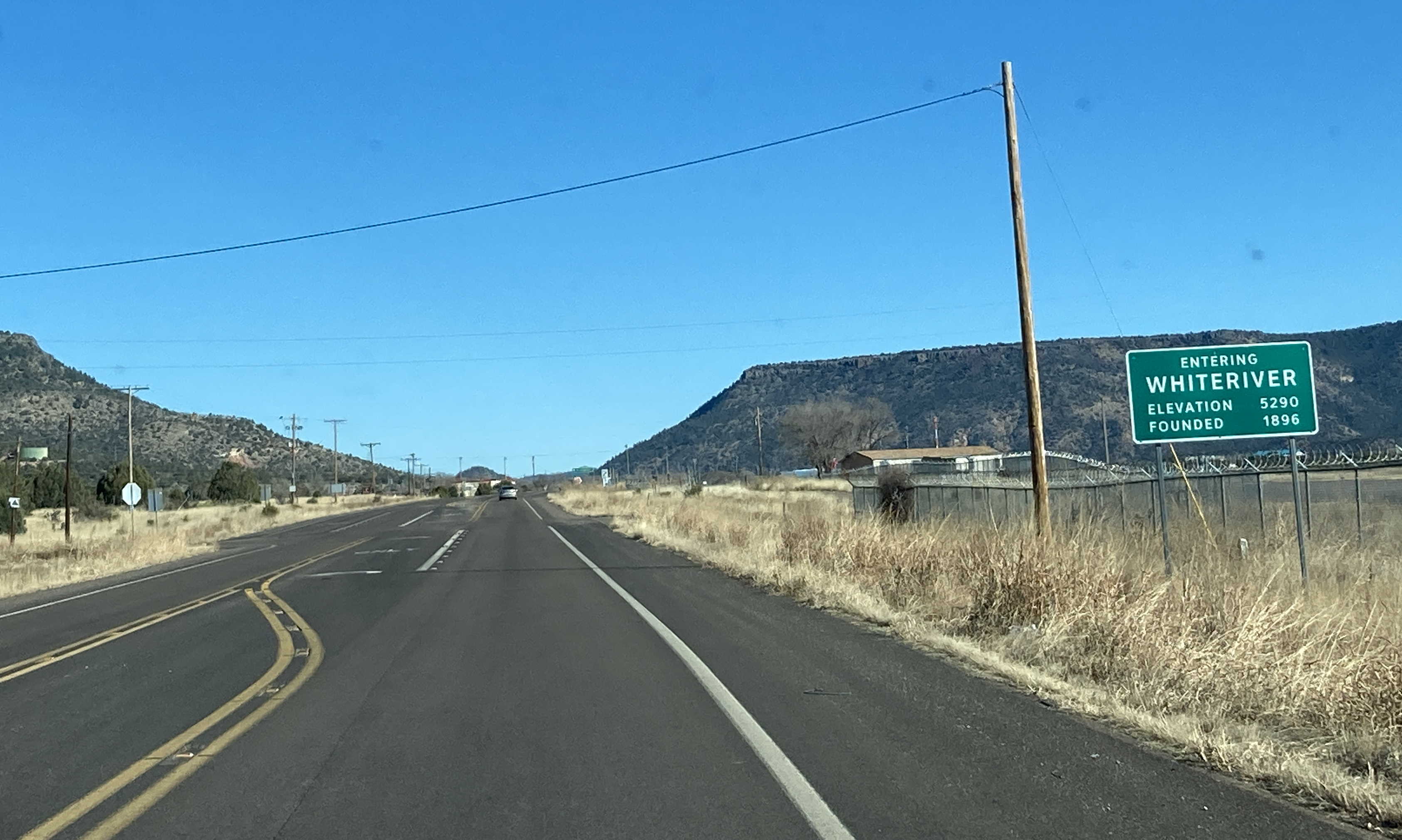
11/26/2022 - SR 73 North near Mile 331
11/26/2022 - SR 73 North (Chief Ave) @ Saddle St - Whiteriver
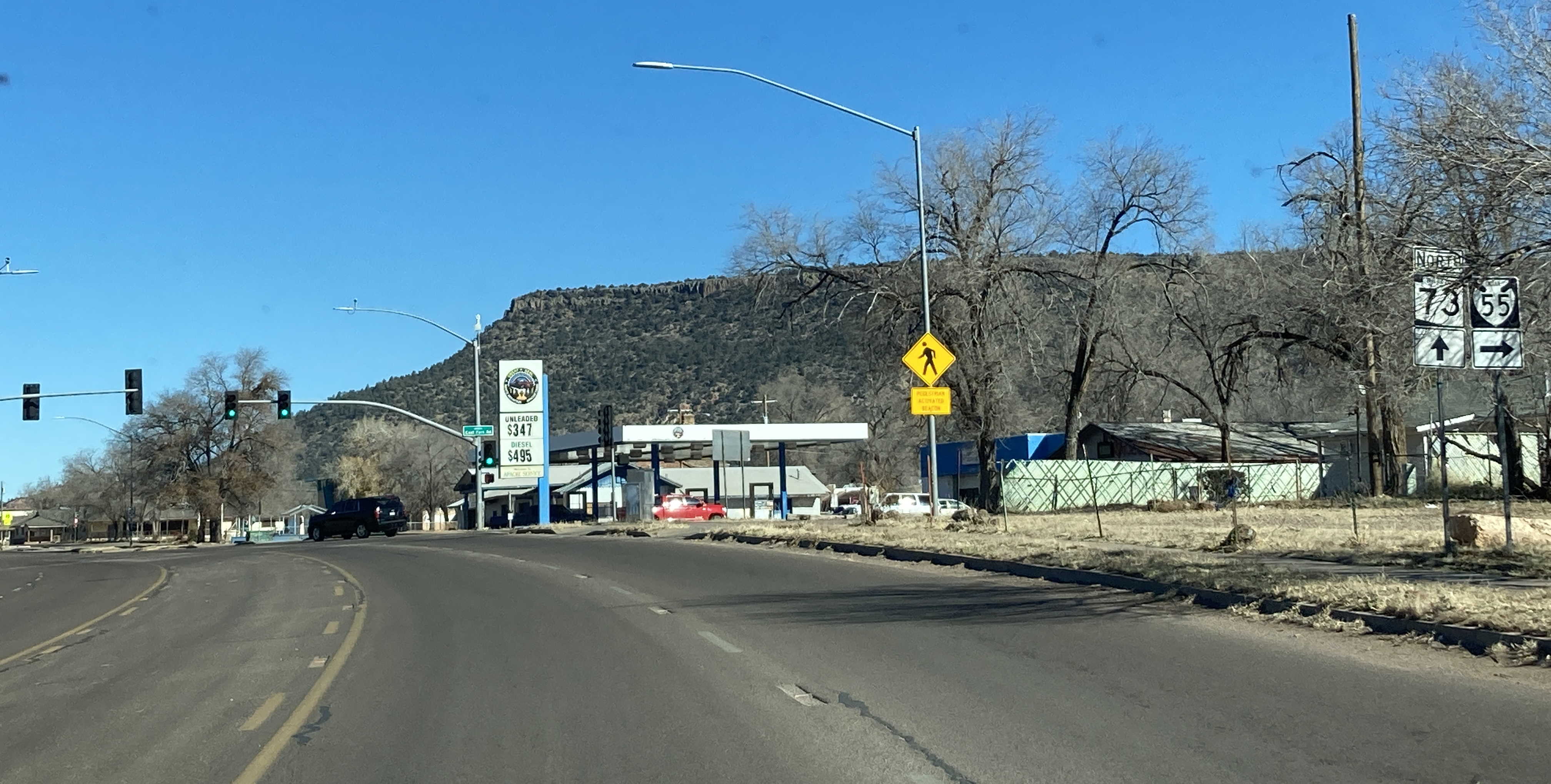
11/26/2022 - SR 73 North (Chief Ave) @ East Fork Rd (IR 55) - Whiteriver
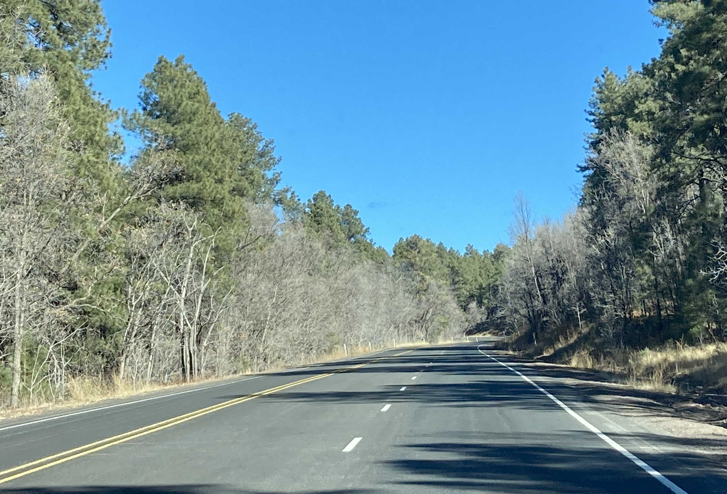
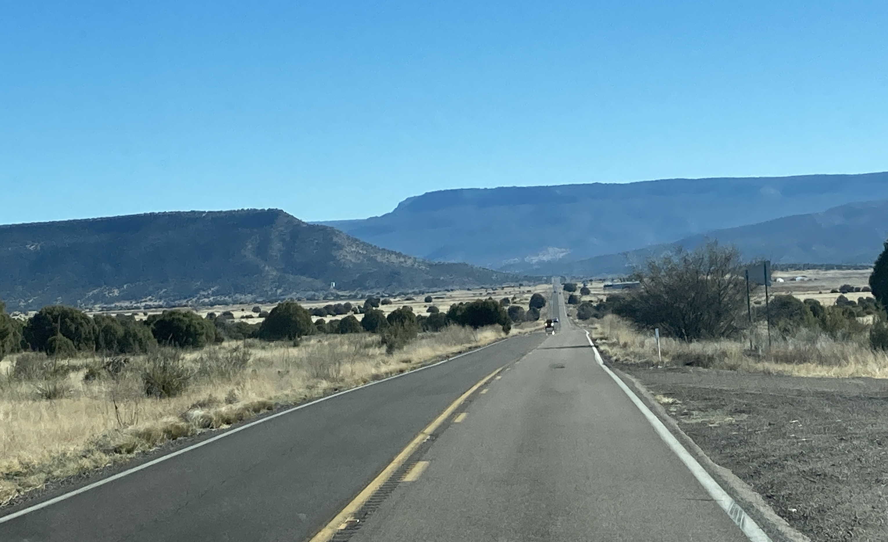
11/26/2022 - SR 73 North, north of Faught Ridge Rd
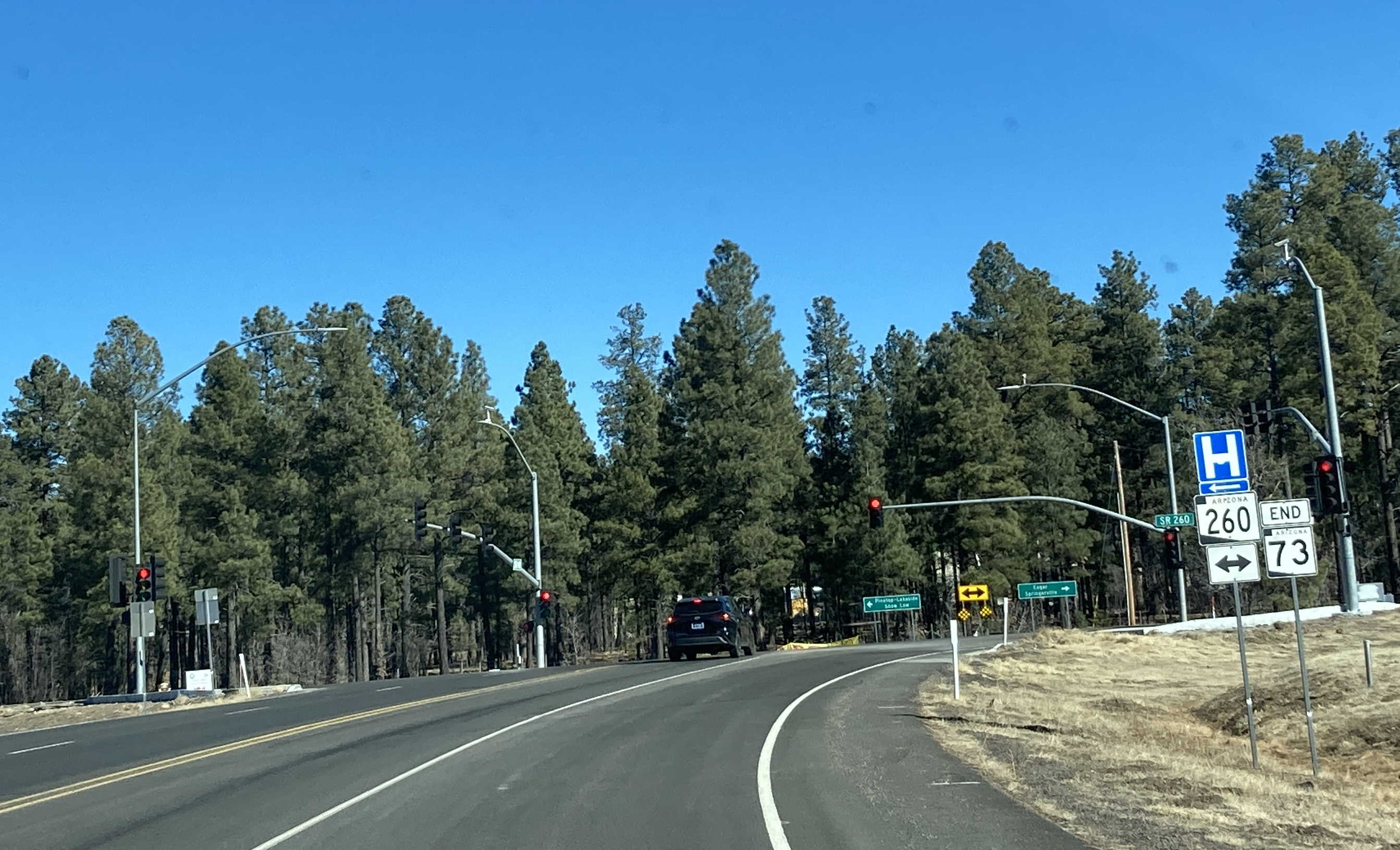
11/26/2022 - End of SR 73 North @ SR 260 - Indian Pine
Page last updated: 11/26/2022