Interstate 8
In Arizona, Interstate 8 runs from the California border in Yuma to I-10 in Casa Grande. It is the successor of US 80 as the main route to San Diego. Interstate 8 from I-10 in Casa Grande to AZ 85 in Gila Bend is considered a part of the Phoenix Bypass Route.
Cool Features
East of Yuma, a segment of I-8 has the westbound and eastbound lanes cross over each other. This is Telegraph Pass. I-8 and AZ 87 are the only highways in the state that criss-cross lanes like this.
Interstate 8 has the longest section of Interstate in Arizona without an exit; the 21 miles between exits 119 and 140. Additionally, the 60 miles between Gila Bend and Casa Grande have no services in between.
Related Routes
Business Loop 8
There are Business Loops for I-8 in both Gila Bend and Yuma. In Gila Bend, BL 8 runs from Exit 119 on Butterfield Trail, onto Main St/AZ 85 through downtown Gila Bend before connecting back up with I-8 at Exit 115. In Yuma, BL 8 runs from Exit 9 at the Avenue 8½E interchange, taking 32nd St and 4th Ave through Yuma, past the state line into California with an interchange with I-8. It also continues past that interchange, through Winterhaven, CA, before meeting back up with I-8 at California Exit 170.
Pictures
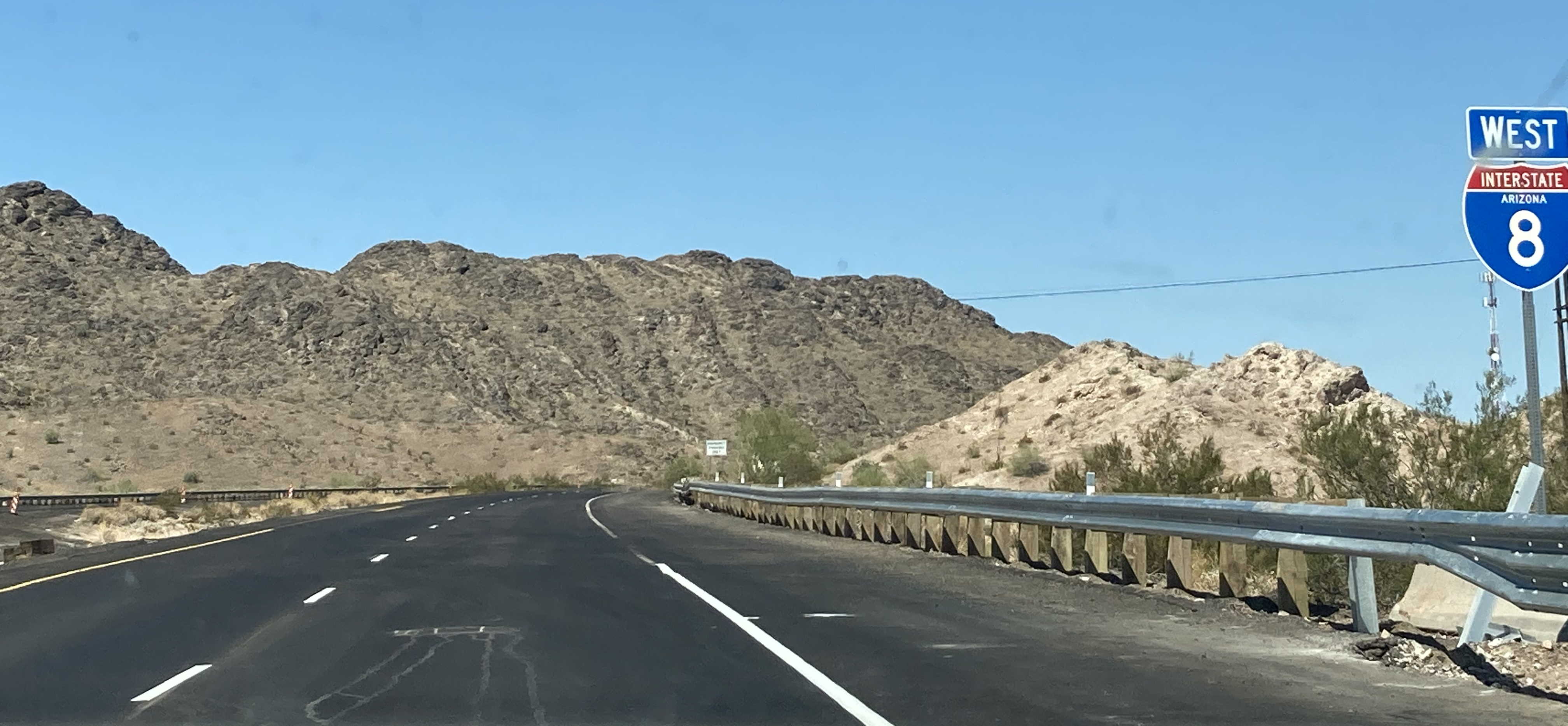
7/25/2020 - Interstate 8 West, west of Mohawk Valley
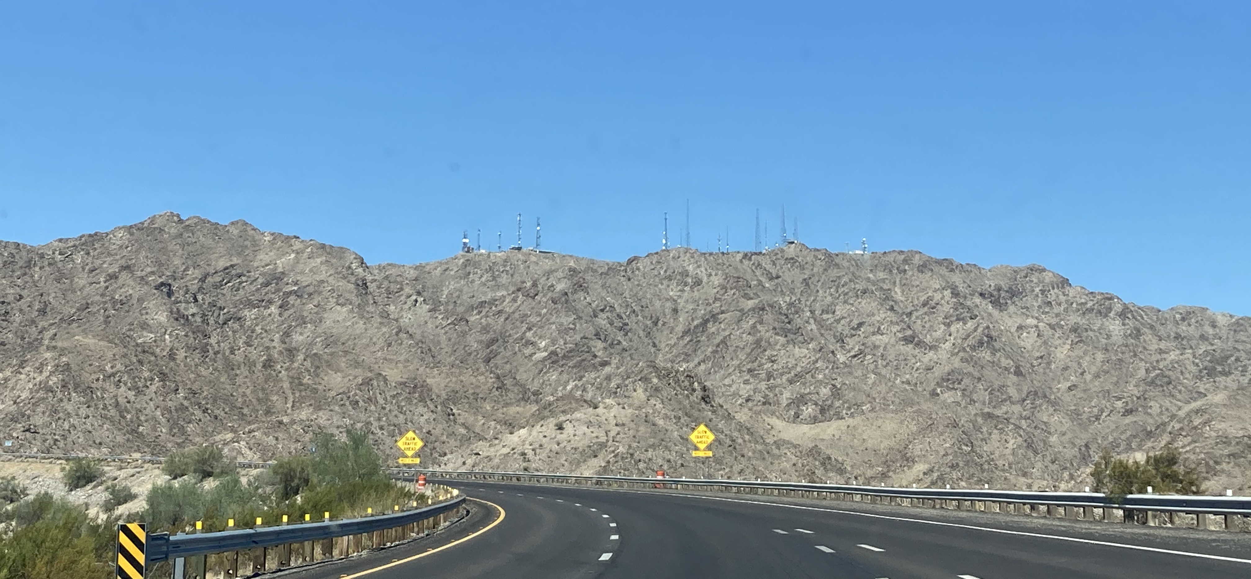
7/25/2020 - Interstate 8 West, west of Dome Valley
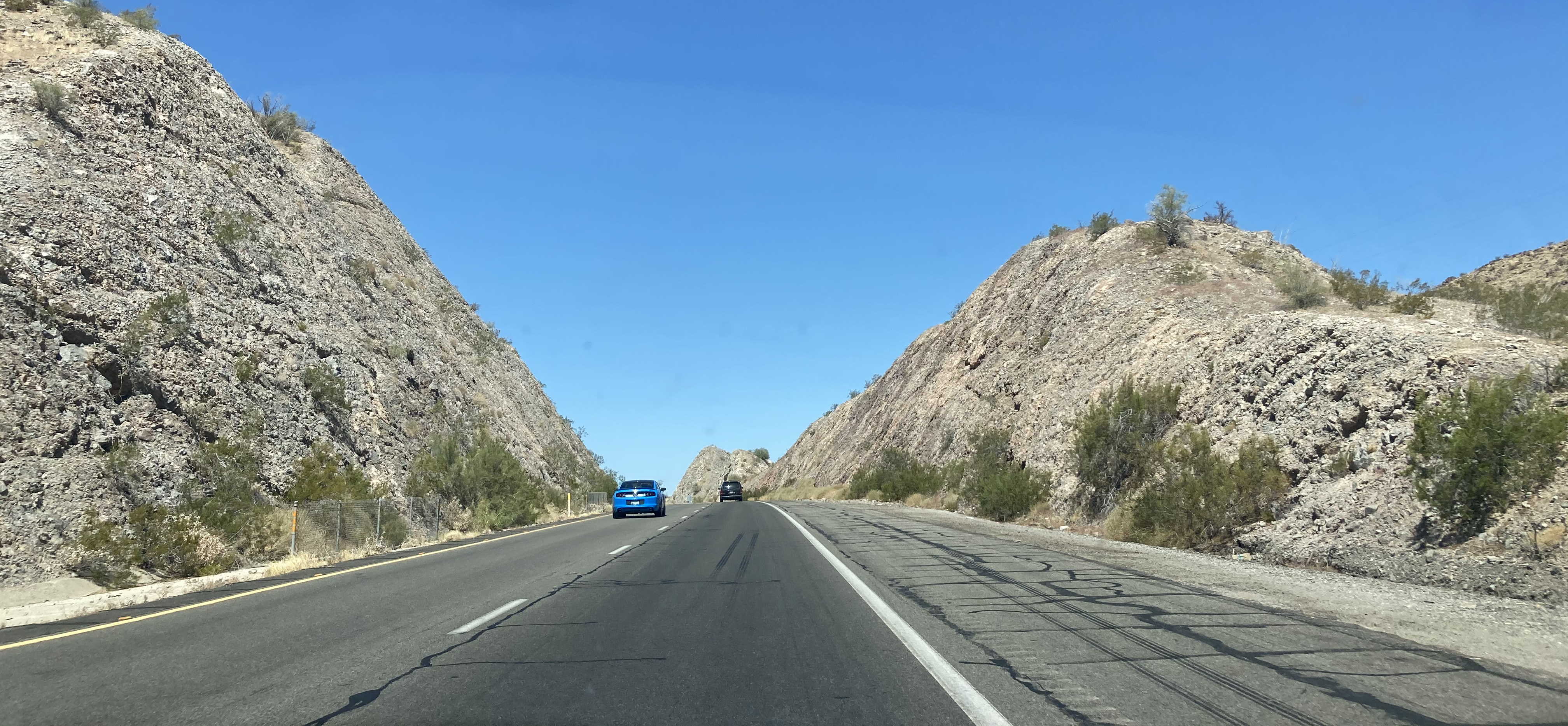
7/25/2020 - Interstate 8 West in Telegraph Pass
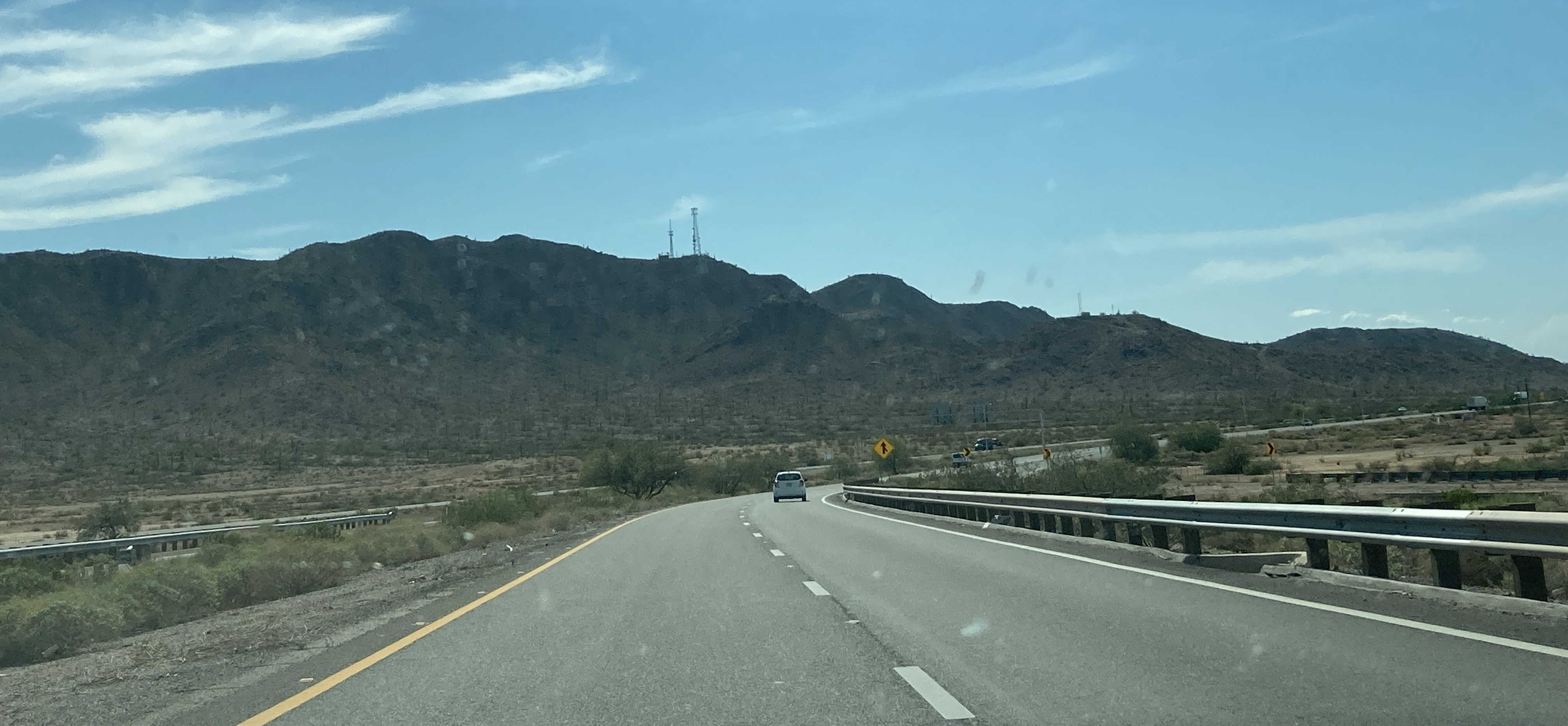
7/31/2021 - Beginning of Interstate 8 West @ I-10 - Casa Grande
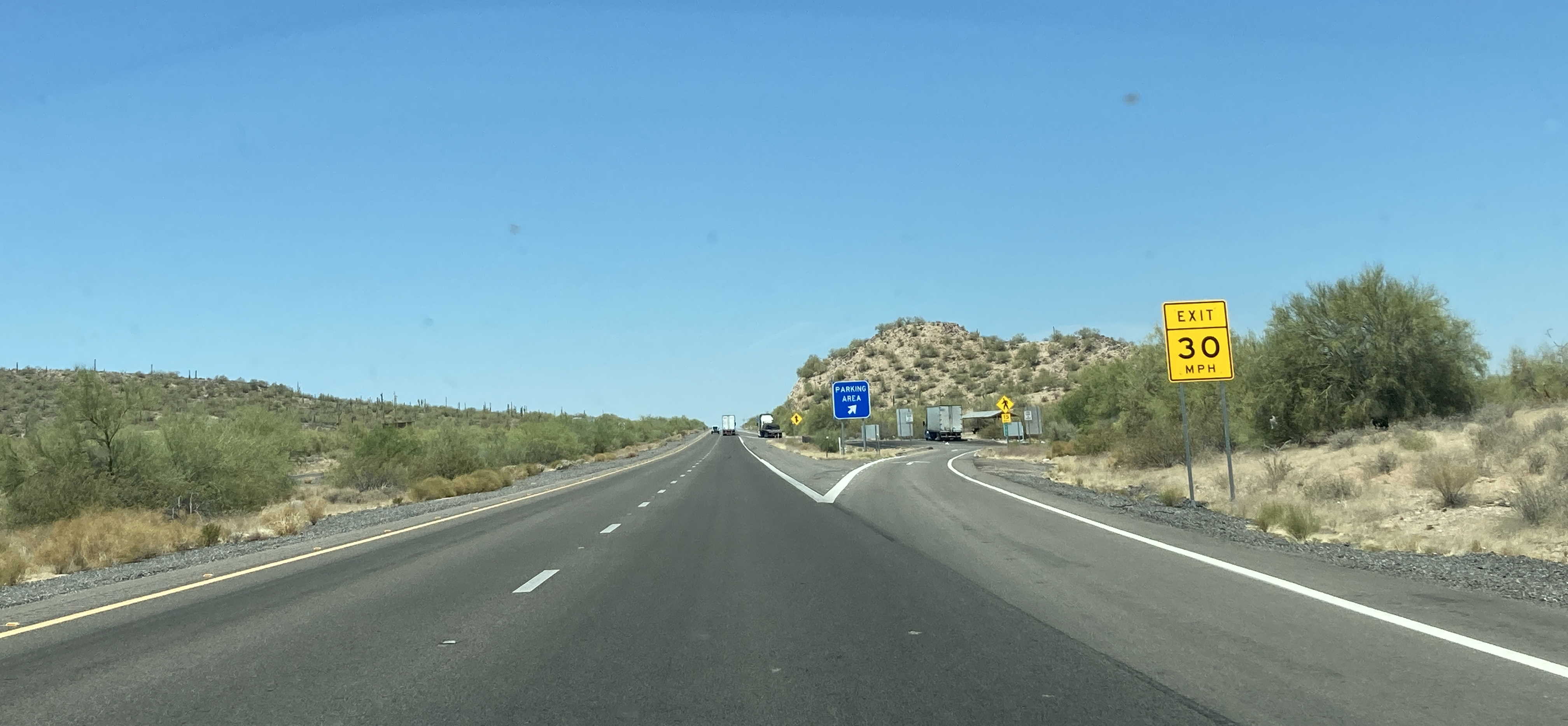
5/26/2022 - Interstate 8 West, west of SR 84
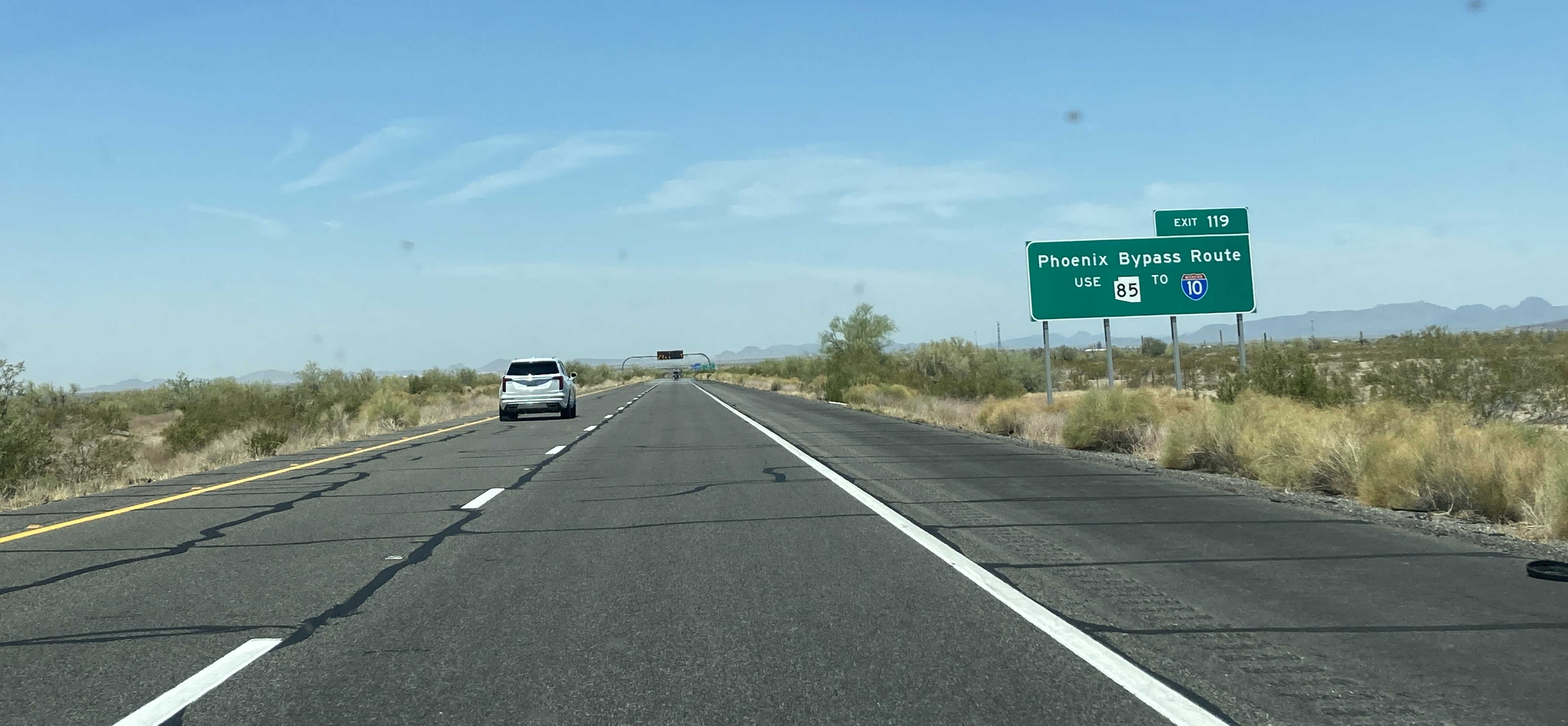
5/26/2022 - Interstate 8 West, east of Butterfield Trail (Business Loop 8)
Exit List
| Exit/ Mile |
Eastbound Exits Read down |
Westbound Exits Read up |
|---|---|---|
| 0 | California State Line Colorado River |
|
| 1 | Redondo Center Dr Giss Parkway |
Giss Parkway |
| Yuma Territorial Prison State Historic Park |
Yuma Territorial Prison State Historic Park |
|
| Arizona Port of Entry | ||
| 2 | 16th St |
16th St |
| 3 | Avenue 3E | Avenue 3E |
| 7 | Araby Rd |
Araby Rd |
| 9 | Avenue 8½E |
Avenue 8½E |
| 12 | TO Fortuna Rd |
TO Fortuna Rd |
| 14 | Foothills Blvd | Foothills Blvd |
| 16 | Inspection Station | |
| 21 | Dome Valley | Dome Valley |
| 22 | Parking Area | Parking Area |
| 30 | Ave 29E Wellton |
Ave 29E Wellton |
| 37 | Ave 36E Roll |
Ave 36E Roll |
| 42 | Ave 40E Tacna |
Ave 40E Tacna |
| 54 | Ave 52E Mohawk Valley |
Ave 52E Mohawk Valley |
| 56 | Rest Area | Rest Area |
| 67 | Dateland | Dateland |
| 73 | Aztec Rd | Aztec Rd |
| 78 | Spot Rd | Spot Rd |
| 80 | ENTERING Maricopa County |
ENTERING Yuma County |
| 83 | Rest Area | Rest Area |
| 87 | Agua Caliente Rd Sentinel |
Agua Caliente Rd Sentinel |
| 102 | Painted Rock Rd | Painted Rock Rd |
| 106 | Paloma Rd | Paloma Rd |
| 111 | Citrus Valley Rd | Citrus Valley Rd |
| 115 | Phoenix Ajo Gila Bend Mexico |
Phoenix Ajo Gila Bend Mexico |
| Organ Pipe Cactus National Monument |
Organ Pipe Cactus National Monument |
|
| 119 | Butterfield Trail |
Butterfield Trail |
| 140 | Freeman Rd | Freeman Rd |
| 144 | Vekol Rd | Vekol Rd |
| 146 | ENTERING Pinal County |
ENTERING Maricopa County |
| 148 | Parking Area | |
| 150 | Parking Area | |
| 151 | Maricopa |
Maricopa |
| 161 | Stanfield | Stanfield |
| EXIT 30 MPH | ||
| 167 | Montgomery Rd | Montgomery Rd |
| 169 | Bianco Rd | Bianco Rd |
| EXIT 25 MPH | EXIT 25 MPH | |
| 172 | Thornton Rd | Thornton Rd |
| EXIT 25 MPH | ||
| 174 | Trekell Rd | Trekell Rd |
| 178A | EAST Tucson |
|
| 178B | WEST Phoenix |
|
| LEFT EXIT | ||
Page last updated: 5/26/2022