AZ 51
State Route 51 is named the Piestewa Freeway in honor of Private First Class Lori Piestewa, who was the first Native American woman to die in combat in the U.S. Military. SR 51 travels through the Piestewa Peak Recreation Area, also named for the same reason. Previously, the freeway and peak were named Squaw Peak Parkway and Squaw Peak. This was changed in 2003 as the word "squaw" is considered offensive by many Native Americans.
Cool Features
SR 51 between McDowell Rd and Glendale Ave was originally constructed by the City of Phoenix.
SR 51 was originally planned to be Interstate 510.
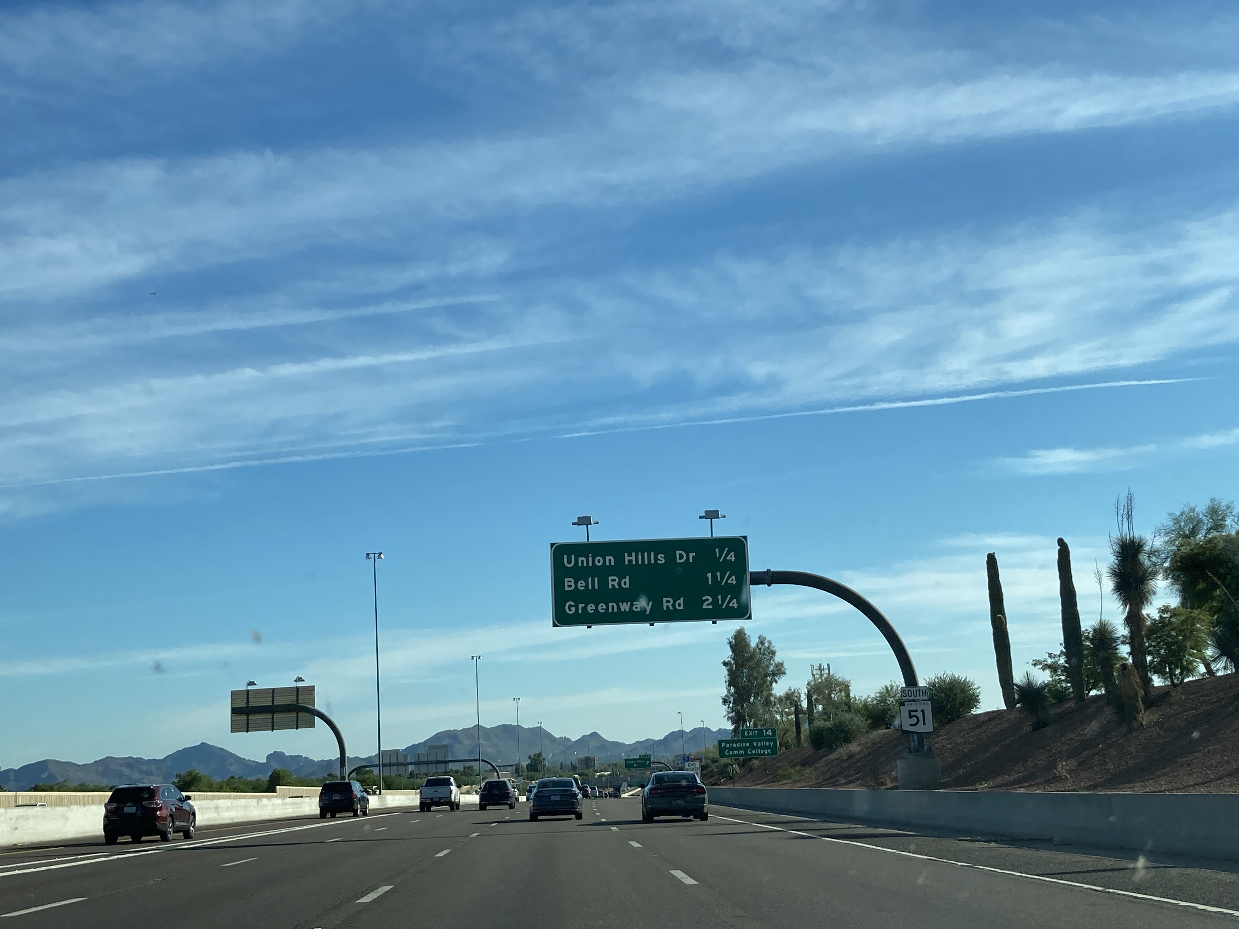
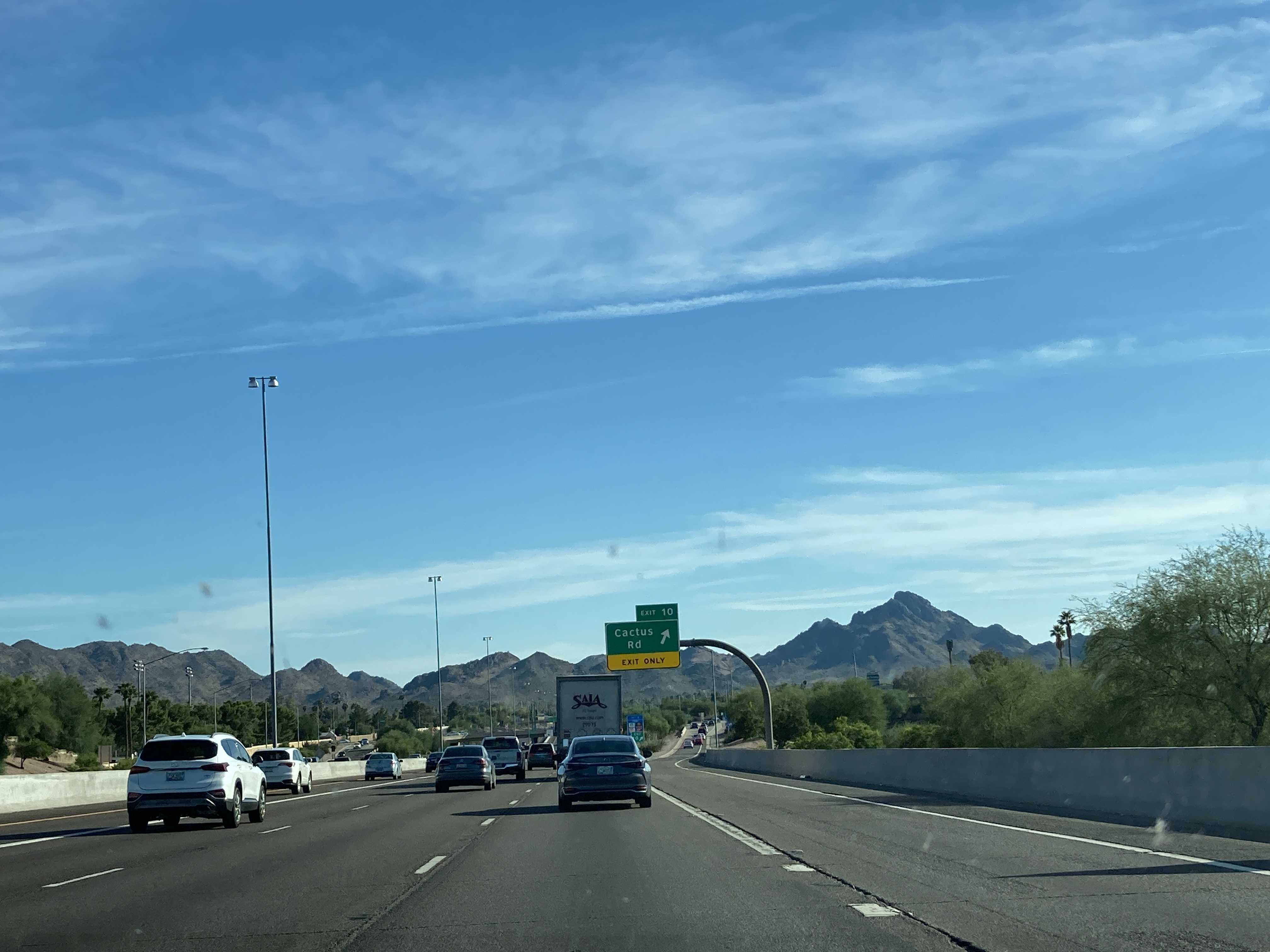
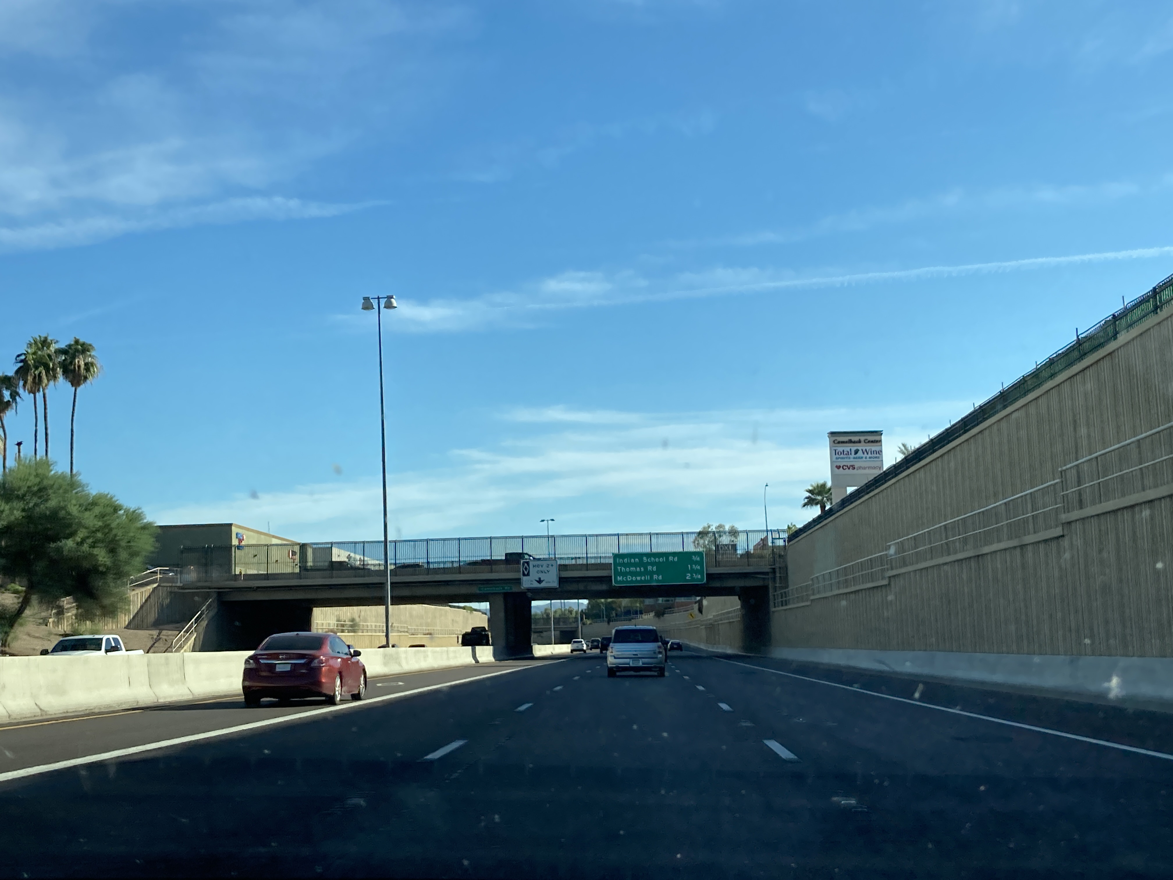
Pictures
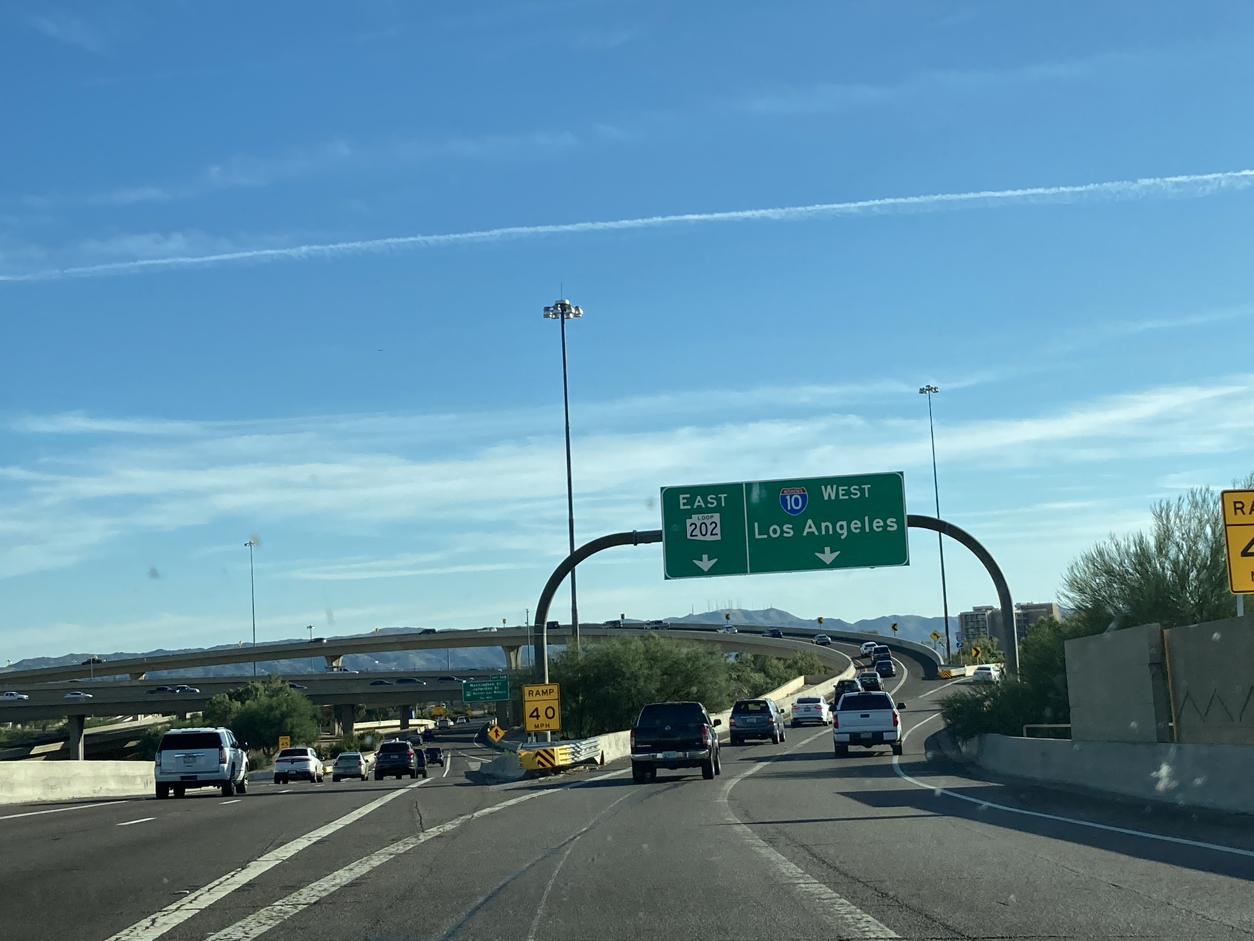
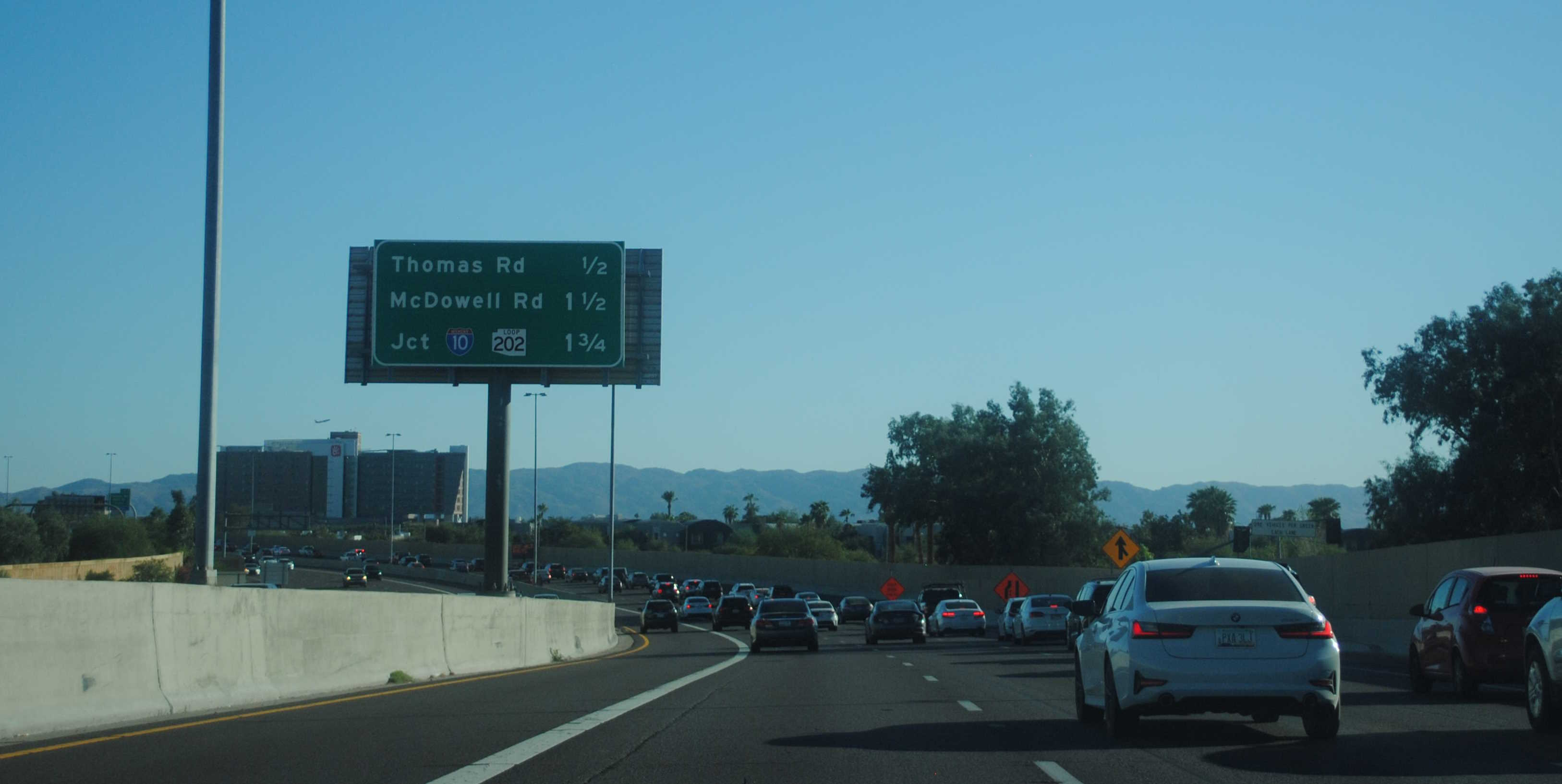
10/6/2021 - Beginning of SR 51 South - Phoenix
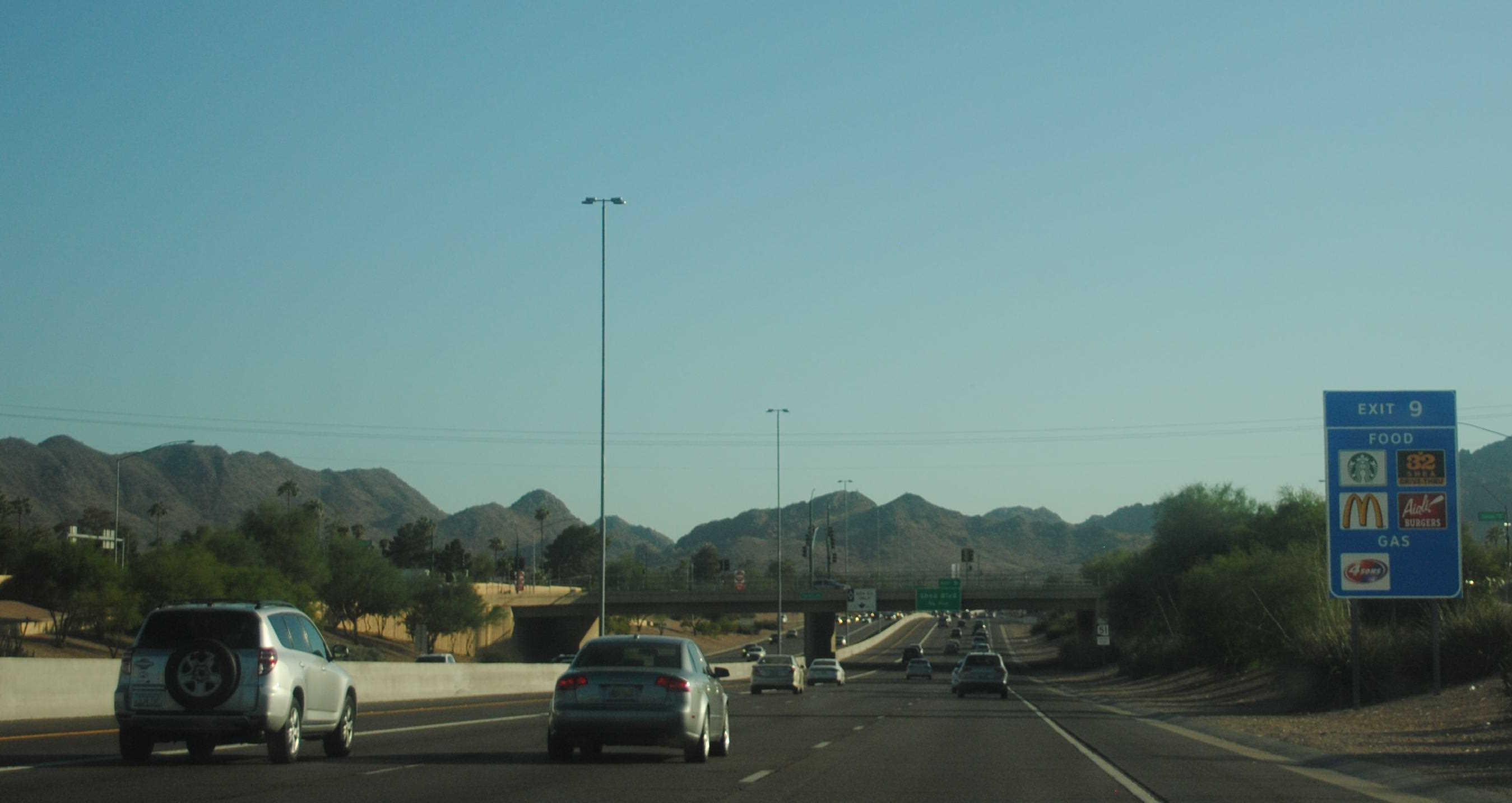
10/6/2021 - View of the Phoenix Mountains Preserve from SR 51 South - Phoenix
10/6/2021 - SR 51 South @ Camelback Rd - Phoenix
10/27/2023 - SR 51 South @ Cactus Rd - Phoenix
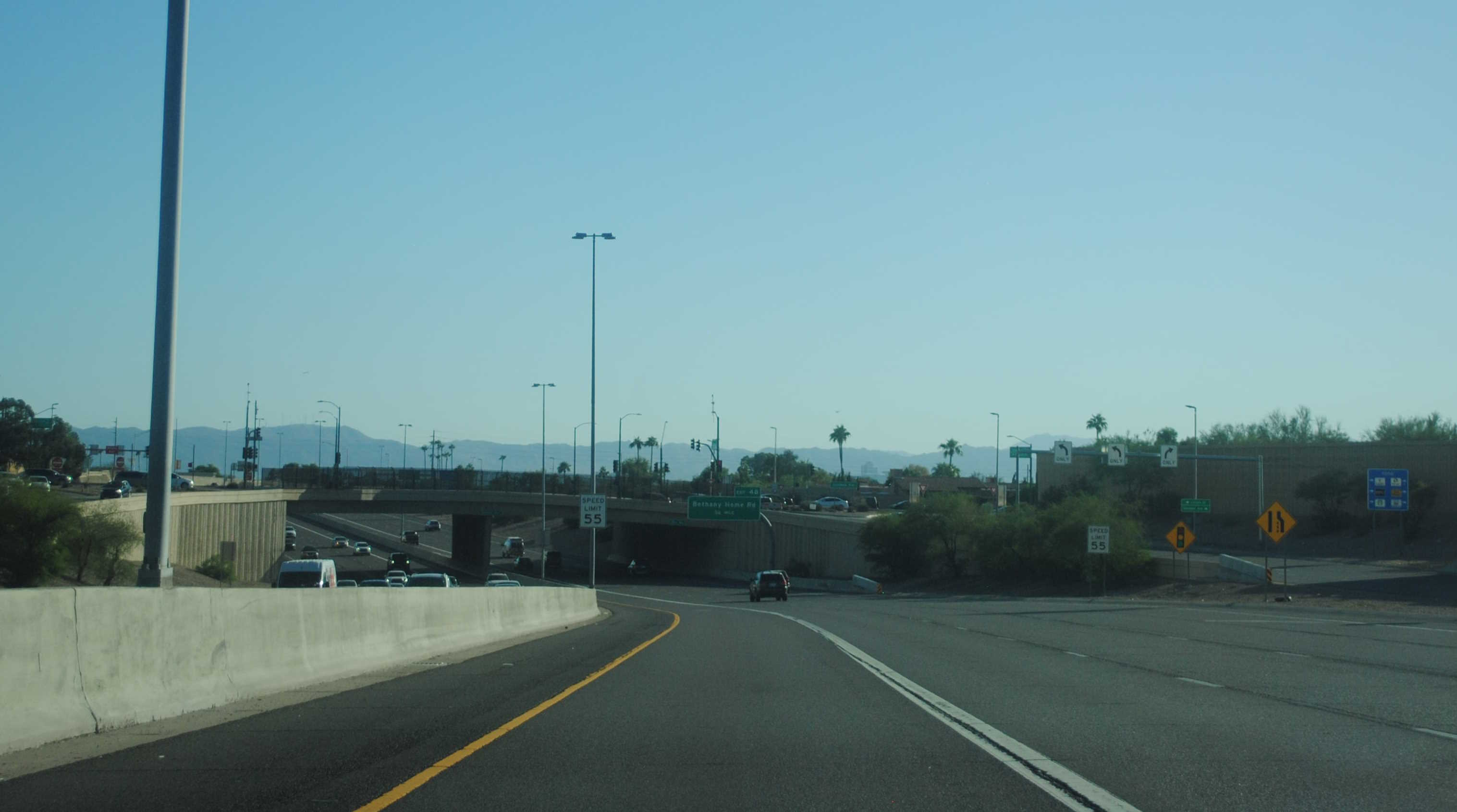
10/28/2023 - SR 51 South @ Glendale Rd - Phoenix
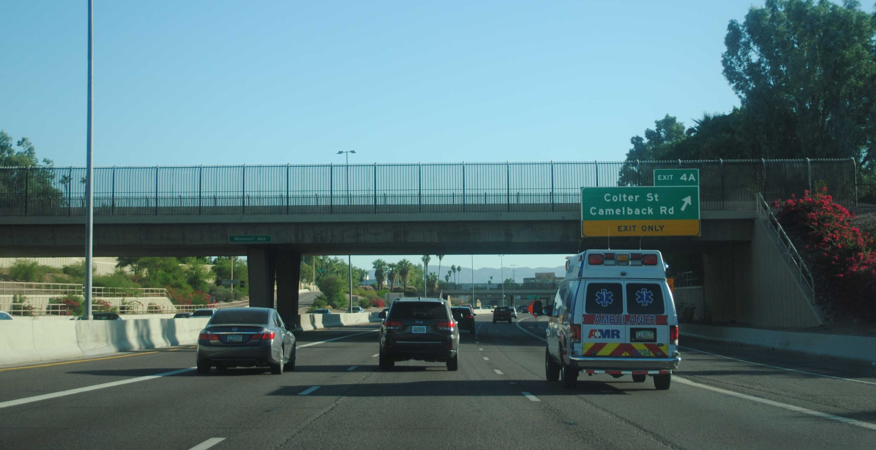
10/28/2023 - SR 51 South @ Missouri Ave - Phoenix
10/28/2023 - SR 51 South @ Indian School Rd - Phoenix
Videos
Exit List
| Exit/ Mile |
Northbound Exits Read down |
Southbound Exits Read up |
|||
|---|---|---|---|---|---|
| 1 |
|
||||
| McDowell Rd | McDowell Rd | ||||
| 2 | Thomas Rd 20th St |
Thomas Rd 20th St |
|||
| 3 | Indian School Rd VA Medical Center |
Indian School Rd VA Medical Center |
|||
| 4A | Highland Ave Camelback Rd |
Colter St Camelback Rd |
|||
| 4B | Bethany Home Rd | Bethany Home Rd | |||
| 5 | Glendale Ave Lincoln Dr |
Glendale Ave Lincoln Dr |
|||
| 7 | Northern Ave | Northern Ave | |||
| 8 | 32nd St | ||||
| 9 | Shea Blvd | Shea Blvd | |||
| 10 | Cactus Rd | Cactus Rd | |||
| 11 | Thunderbird Rd | ||||
| 12 | Greenway Rd | Greenway Rd | |||
| 13 | Bell Rd | Bell Rd | |||
| 14 | Union Hills Dr Paradise Valley Comm College |
Union Hills Dr Paradise Valley Comm College |
|||
| 15 | ◊ HOV EXIT NO ACCESS TO TATUM BLVD |
||||
| 15A | |||||
| 15B | Black Mtn Blvd |
Page last updated: 8/23/2024