Interstate 17
Interstate 17 is one of the two Interstates in Arizona that are entirely within the state. It runs from I-40 in Flagstaff to I-10 in Phoenix. I-17 is the main route for people to take from southern Arizona to get to Flagstaff and vice-versa. I-17 mostly replaced segments of AZ 69 and AZ 79.
Cool Features
I-17 was the first segment of freeway that was built in Phoenix in the mid 1950s.
I-17 is the first Interstate freeway in Arizona to get a full DDI interchange. It can be found at Happy Valley Rd. The first DDIs in the entire state can be found on Loop 202. However, the DDIs on Loop 202 are only half DDIs. The Happy Valley DDI is the first full DDI in the state.
I-17's mile markers begin at mile 194 instead of 0. The reason for this is because I-17's mile markers were inherited from AZ 69. AZ 69's mile markers came from old US 89 at mile 201. ADOT used to begin mile markers for highways equal to the mile markers on the highway it branches from. This resulted in the current situation.
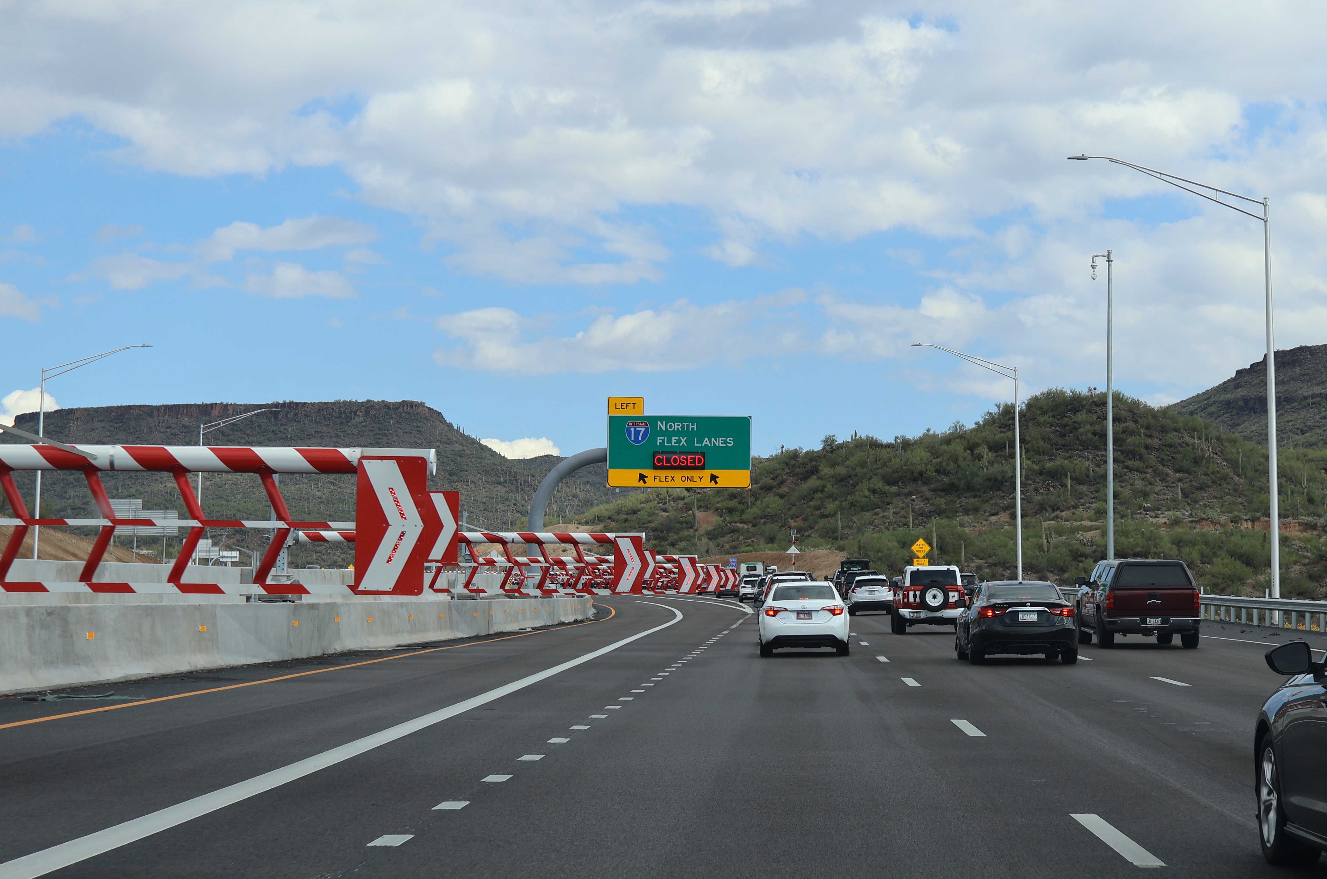
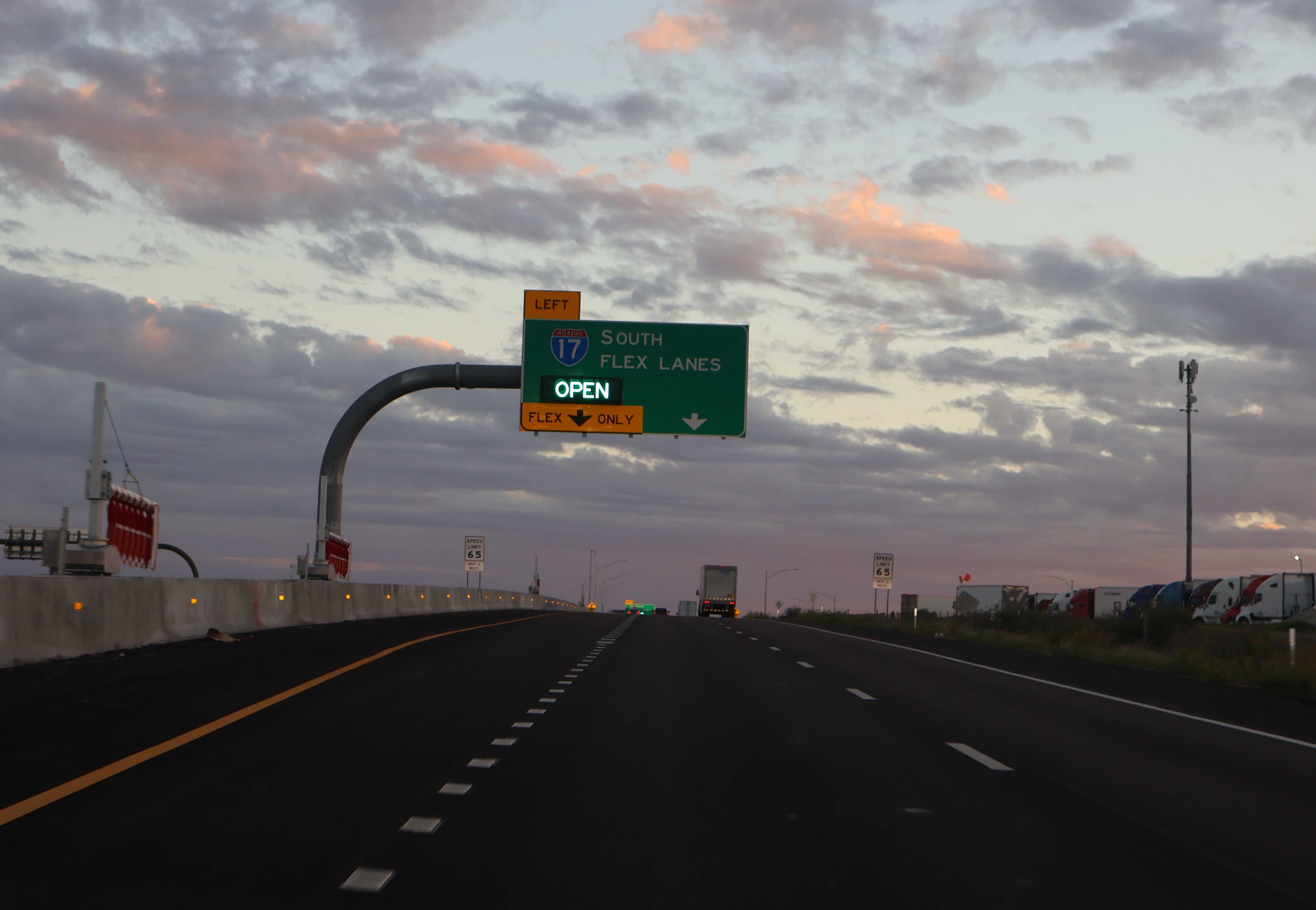
ADOT has recently finished constructing flex lanes along Interstate 17 between Black Canyon City and Sunset Point Rest Area. The flex lane roadway has two additional lanes that can switch directions whenever necessary, like during peak travel times or in the event of an accident or other situation causing traffic delays. ADOT says that typically, the flex lanes will be open to northbound traffic Monday through Saturday and will be open to southbound traffic on Sundays.
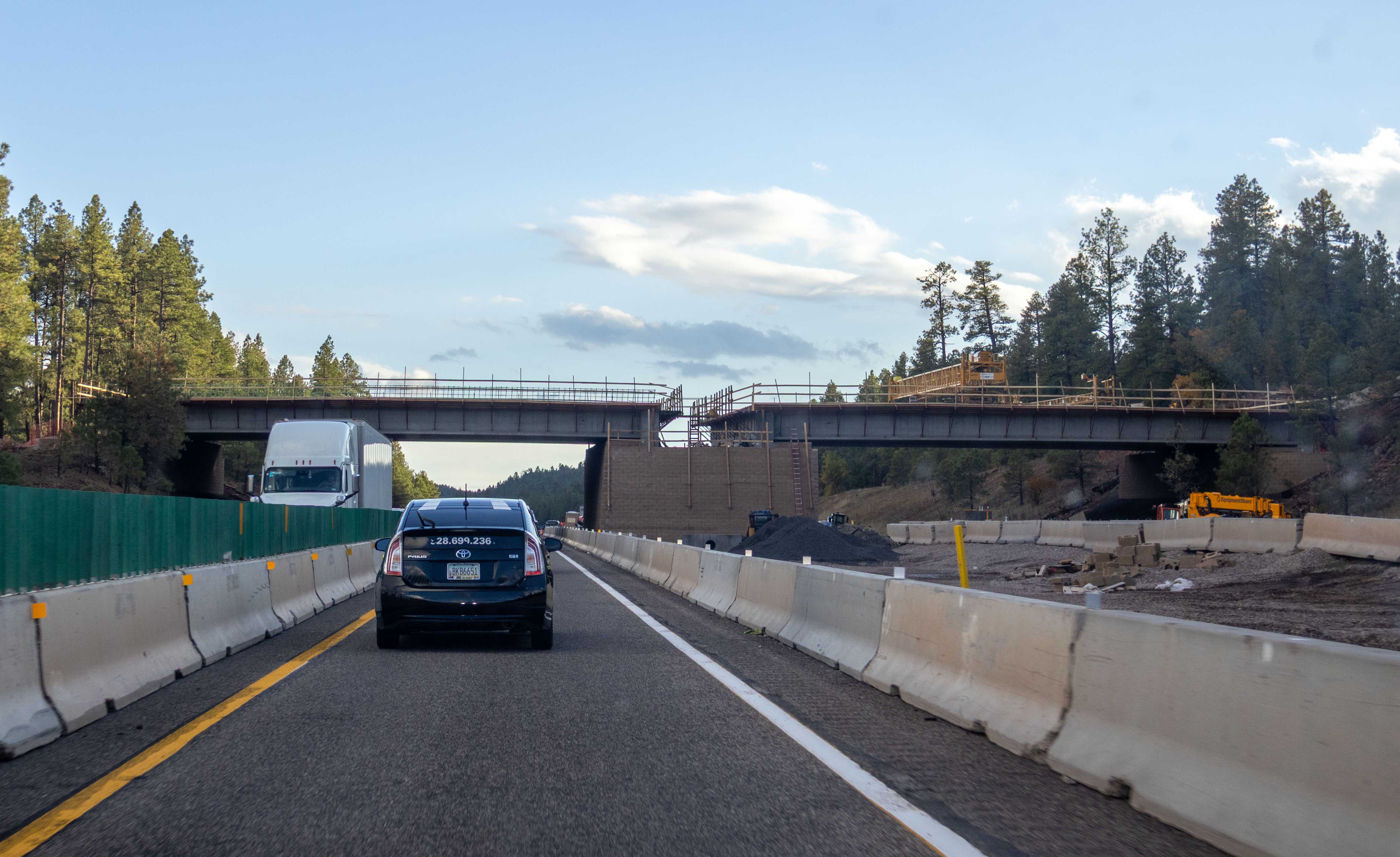
Arizona's first freeway wildlife overpass is currently under construction over I-17, just south of Flagstaff.
Related Routes
Business Loop 17
Until 2011, there was a business loop for I-17 in Black Canyon City. It followed the Old Black Canyon Highway from Exit 242 to Exit 244.
Pictures
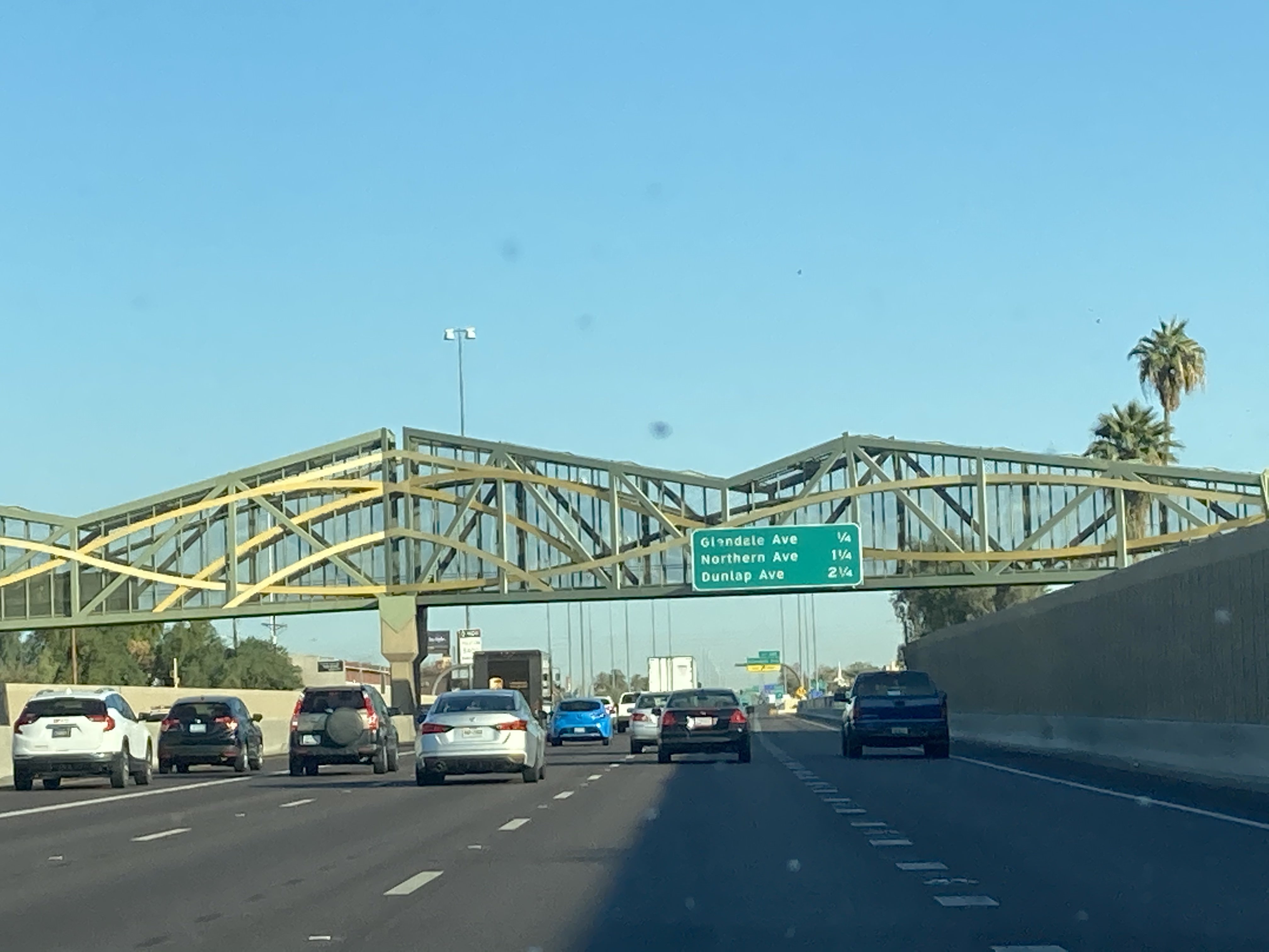
11/27/2020 - Interstate 17 North, south of Glendale Ave - Phoenix
Central Ave bridge construction
3/6/2021 - Interstate 17 North @ Central Ave - Phoenix
The Stack interchange
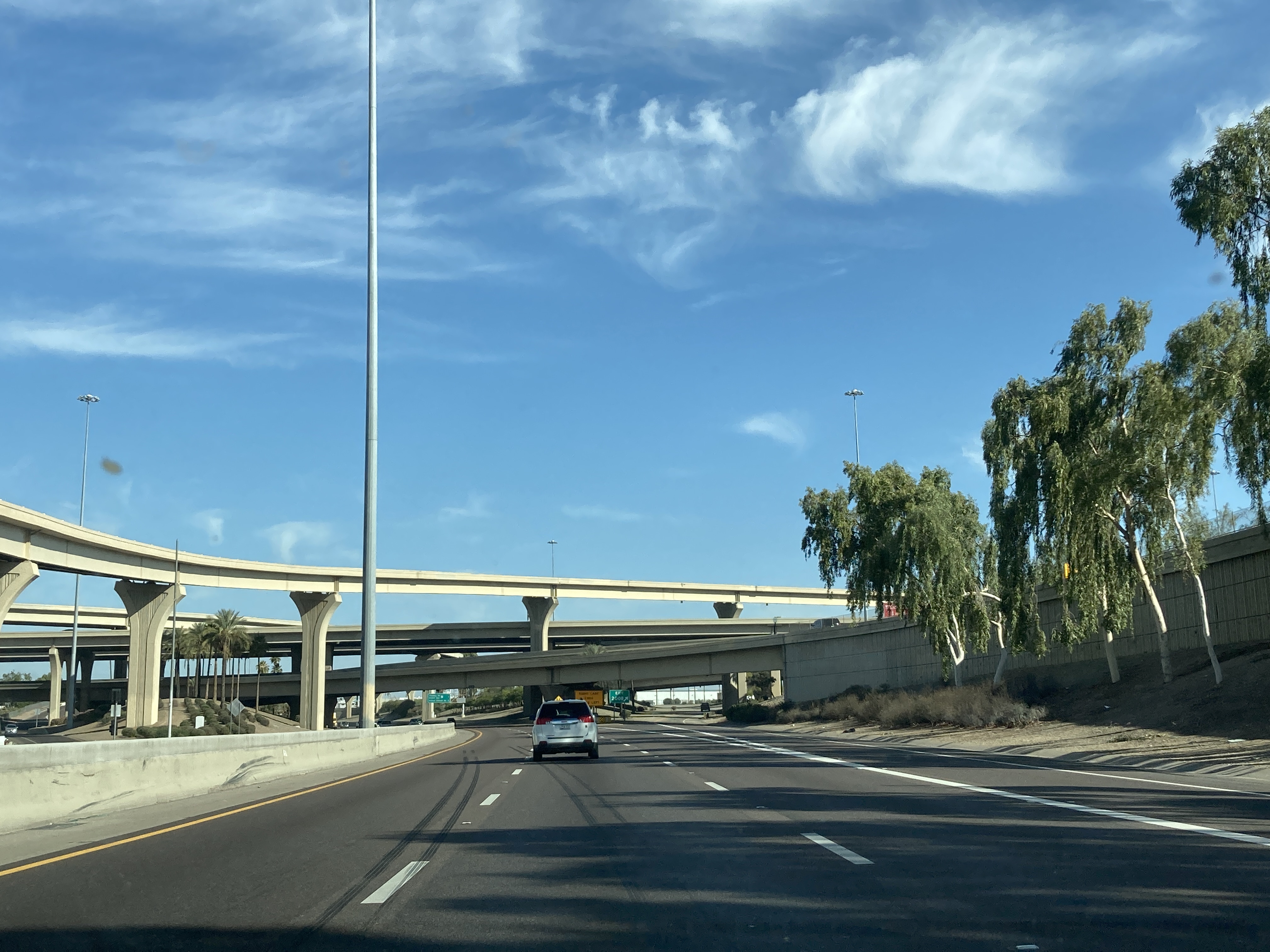
3/6/2021 - Interstate 17 North @ Interstate 10 - Phoenix
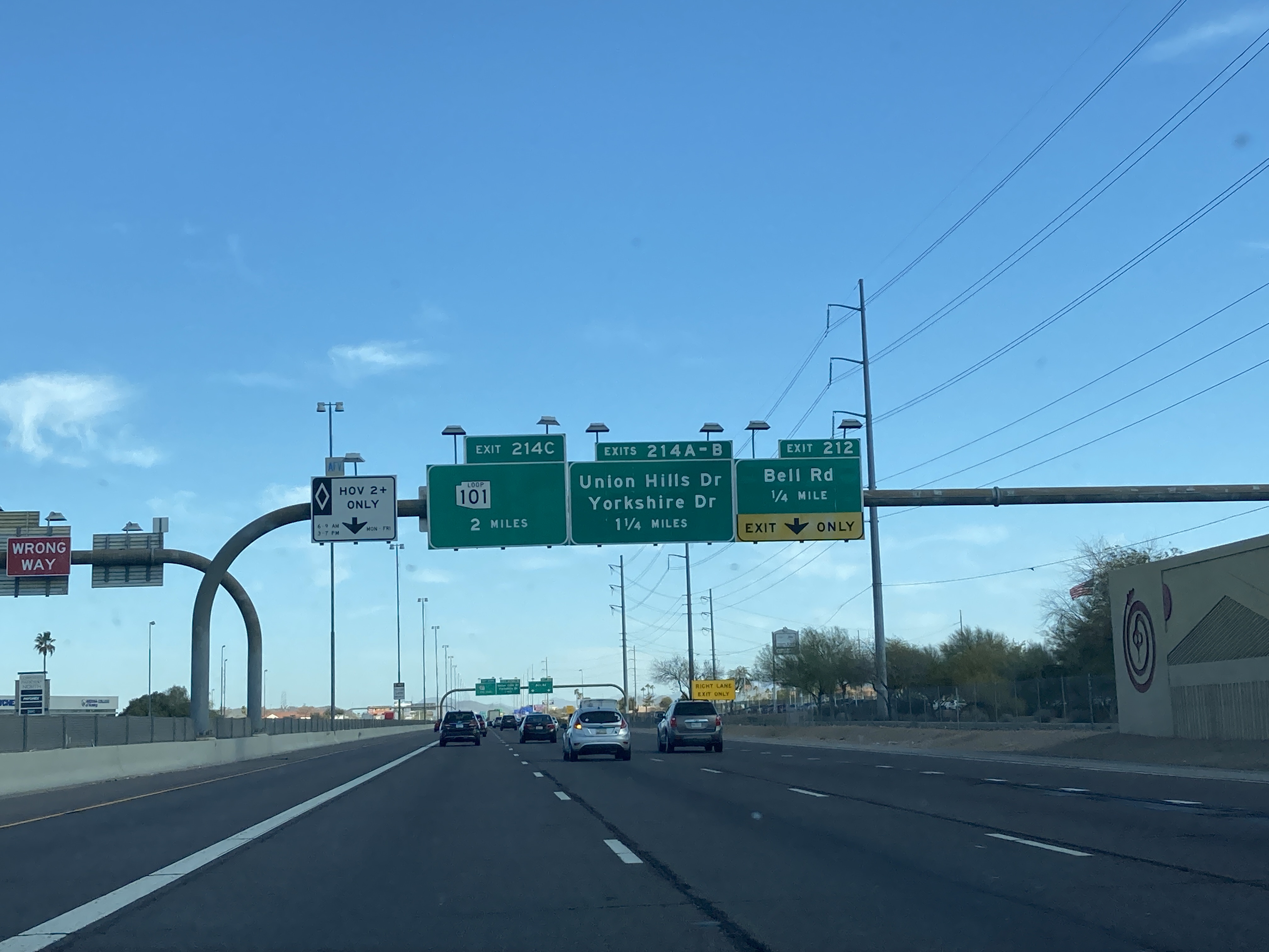
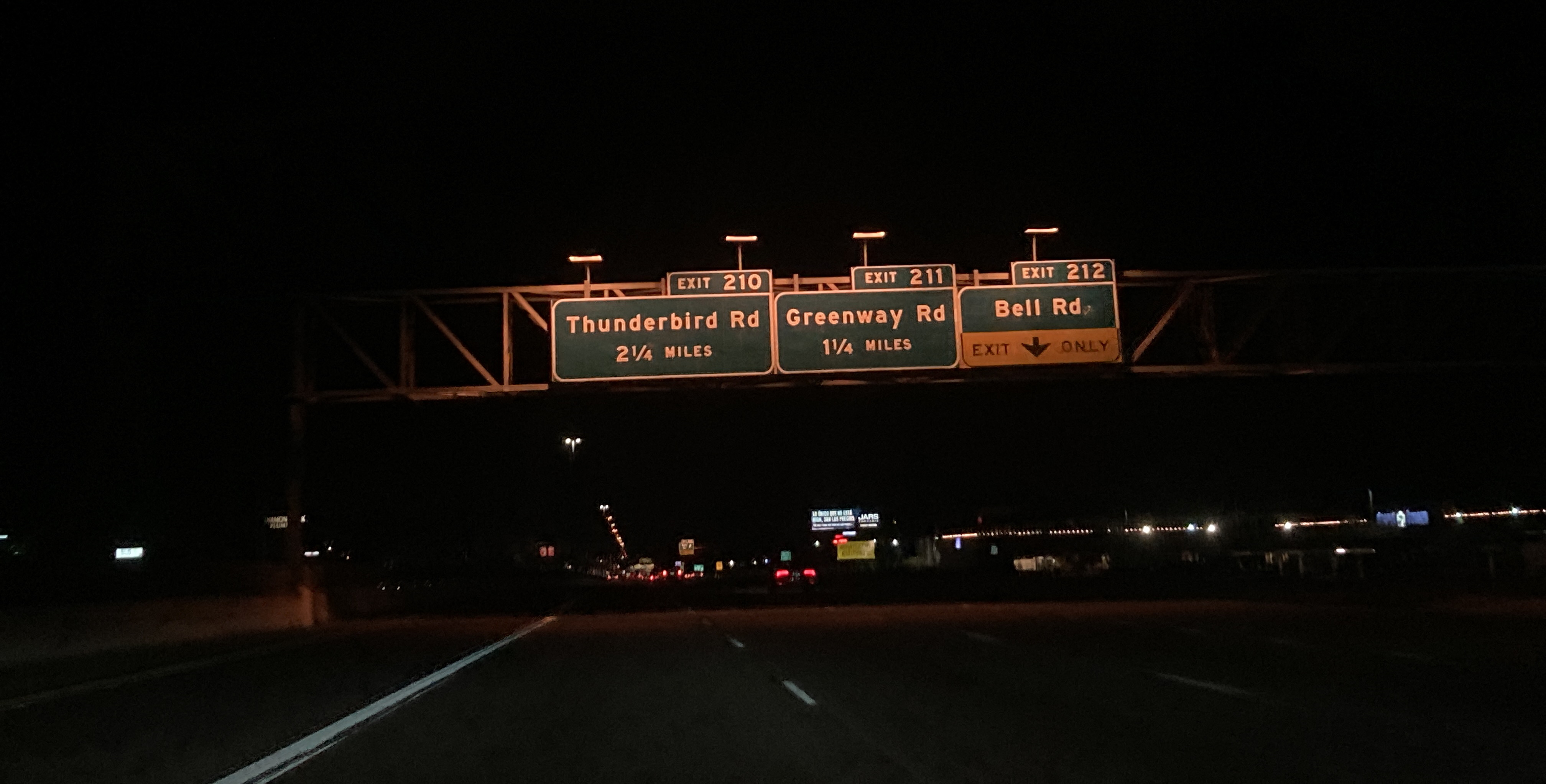
3/6/2021 - Interstate 17 North, south of Bell Rd - Phoenix

3/6/2021 - Interstate 17 North @ Happy Valley Rd - Phoenix
3/6/2021 - Interstate 17 North, south of Table Mesa Rd - New River
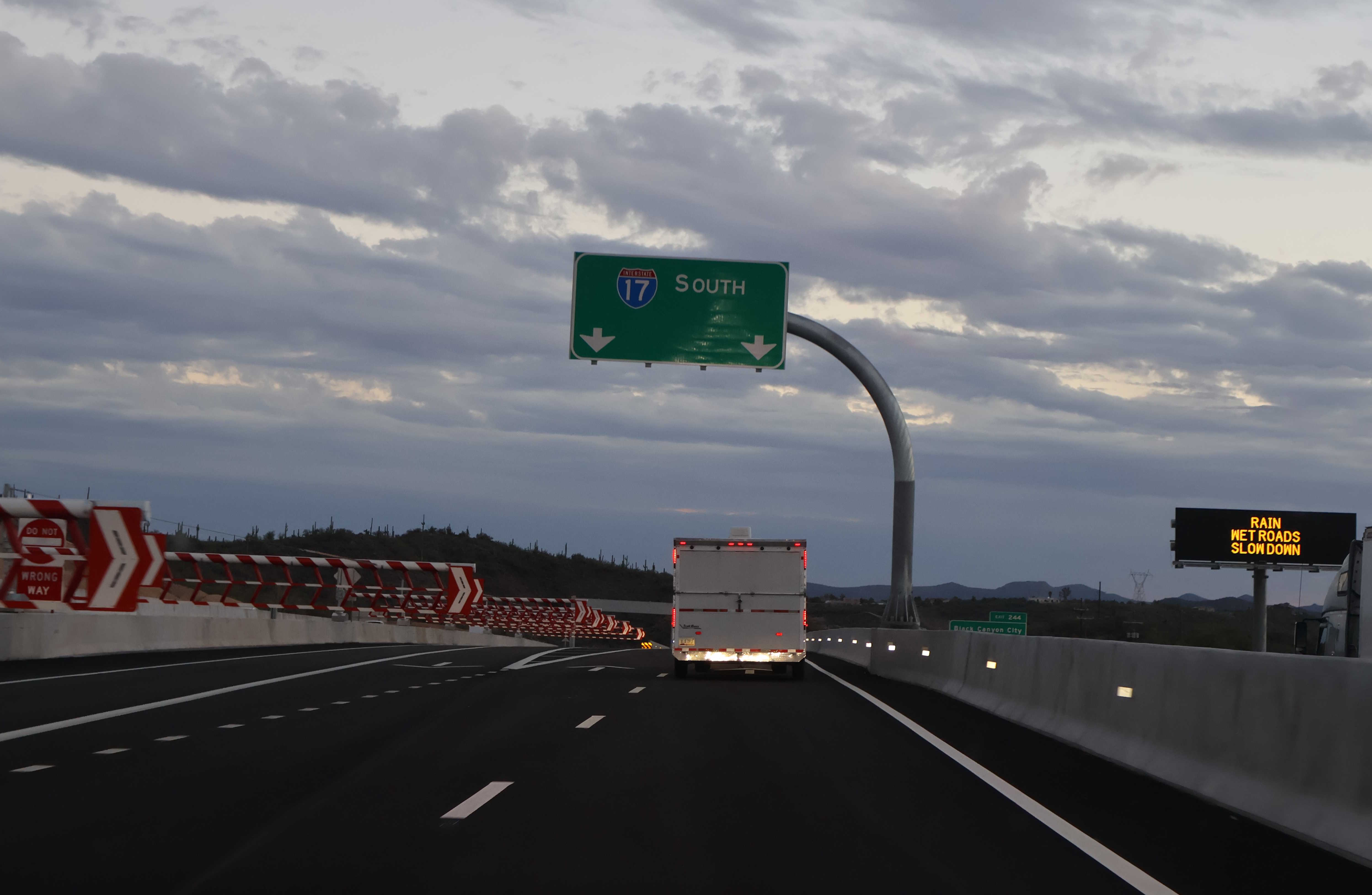
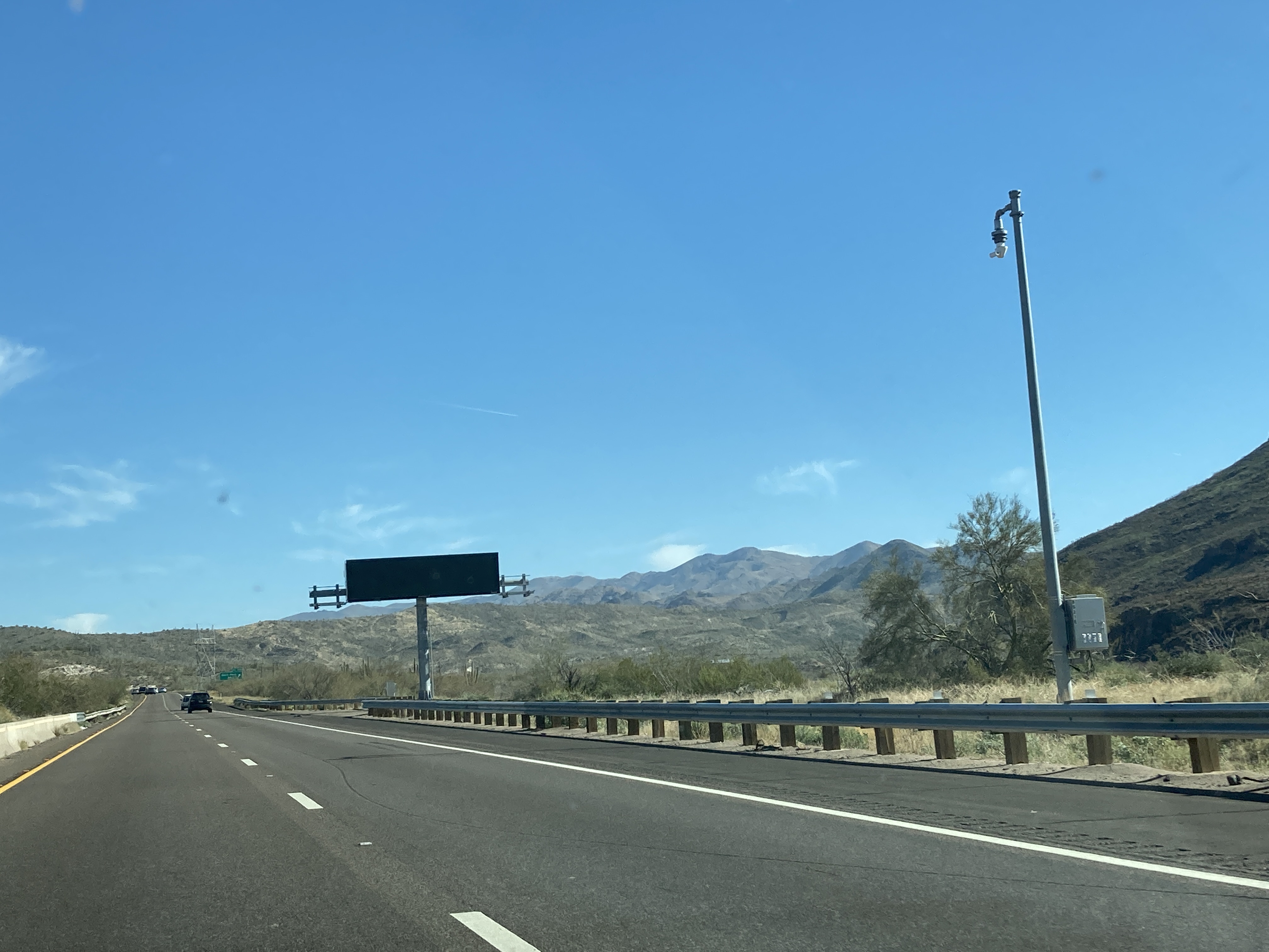
3/6/2021 - Interstate 17 North, south of Badger Springs Rd - Black Canyon City
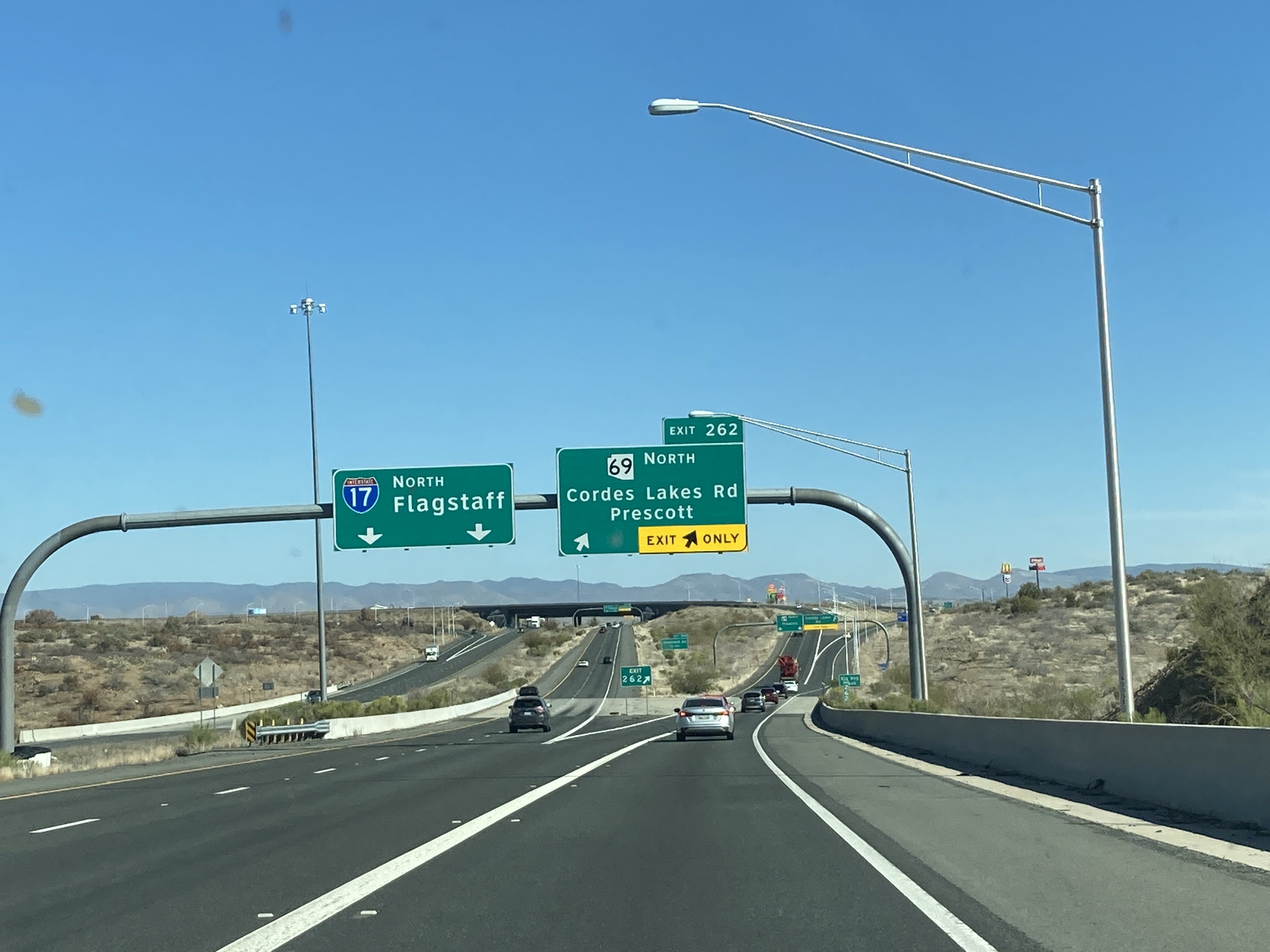
3/6/2021 - Interstate 17 North @ AZ 69 - Cordes Lakes

10/5/2021 - AZ 89A @ I-17, looking south - Flagstaff
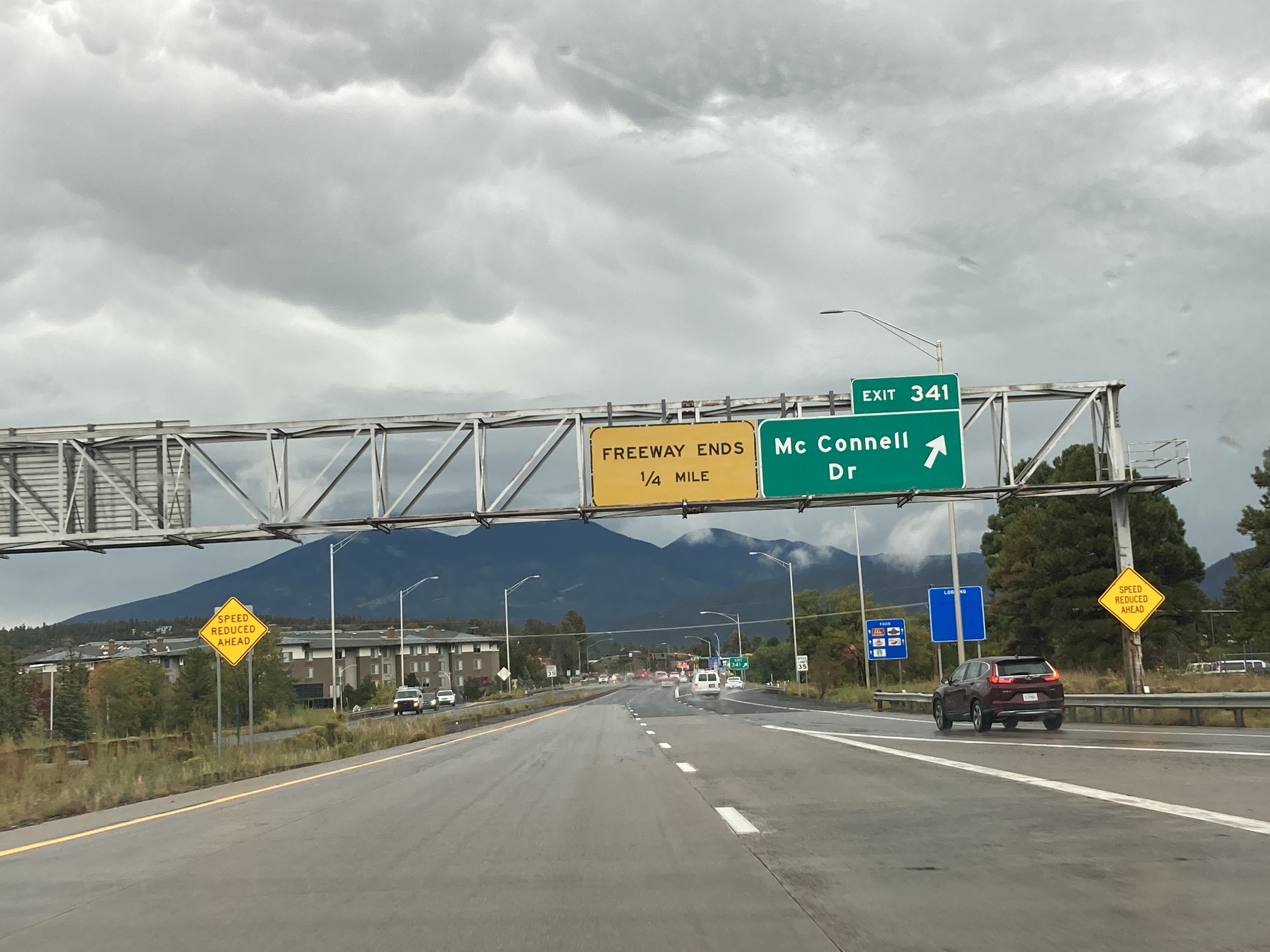
10/5/2021 - Last exit on I-17 North - Flagstaff
3/9/2022 - Interstate 17 South, south of Union Hills Dr - Phoenix
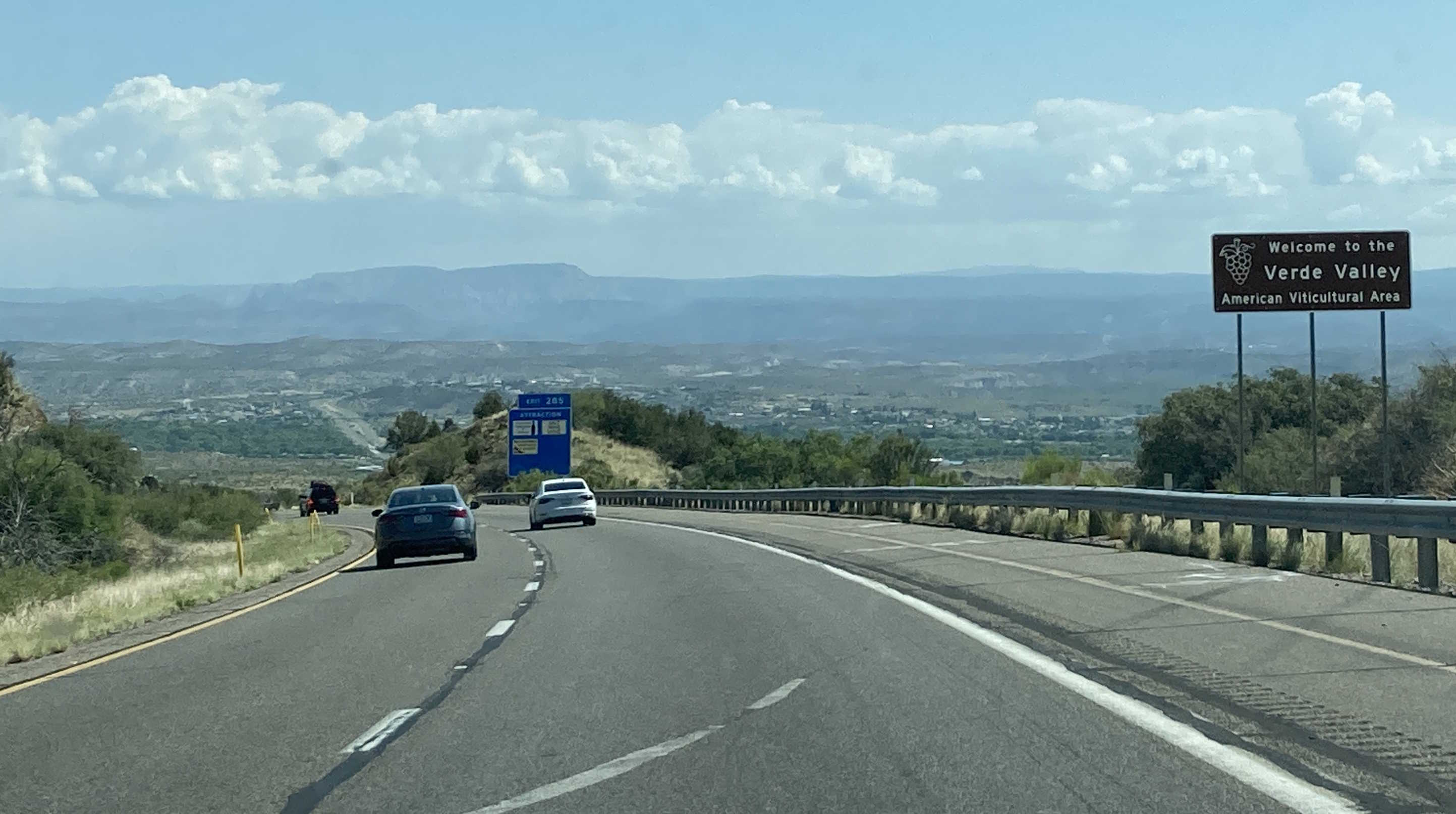
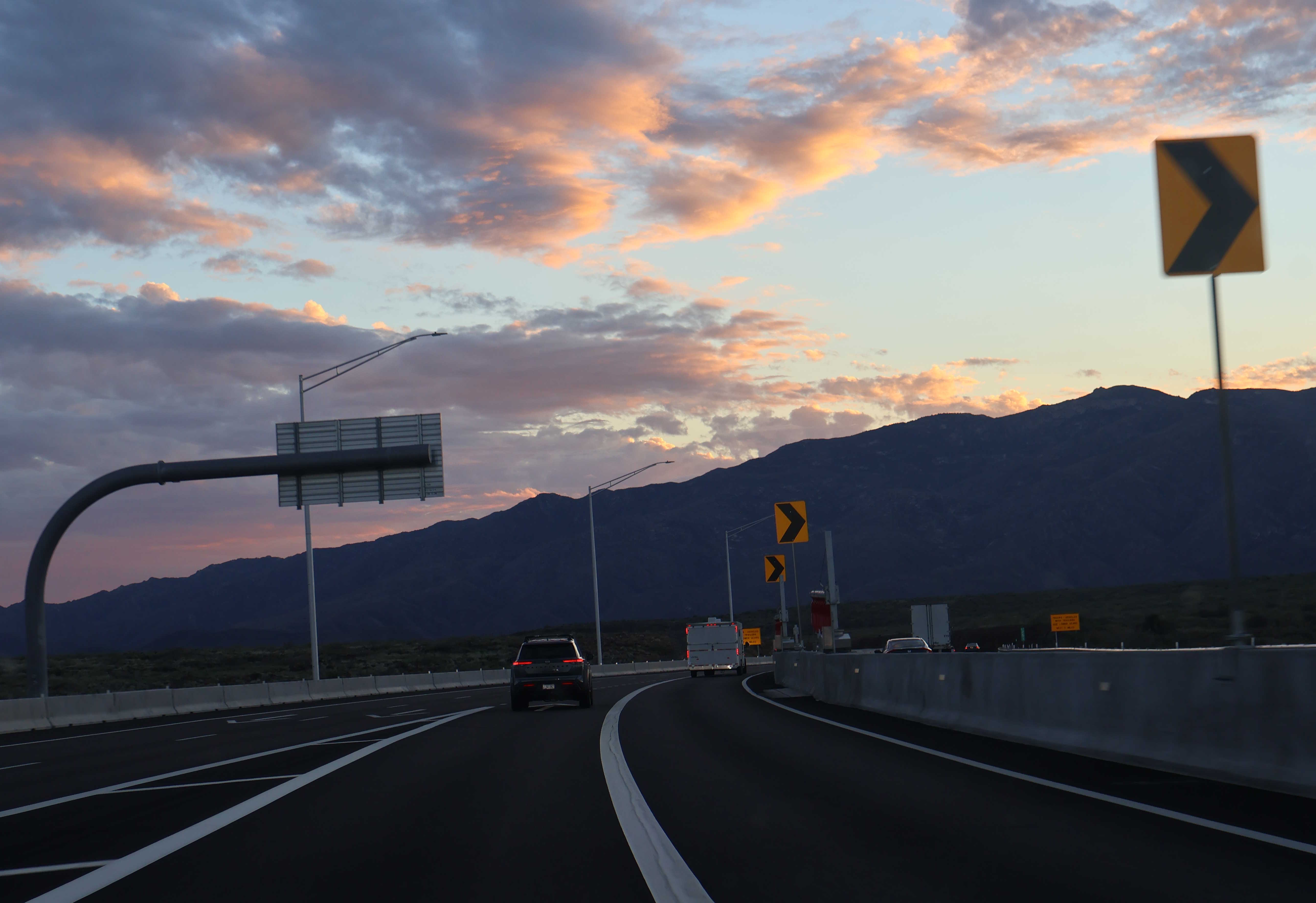
6/2/2023 - Interstate 17 North near Mile 284
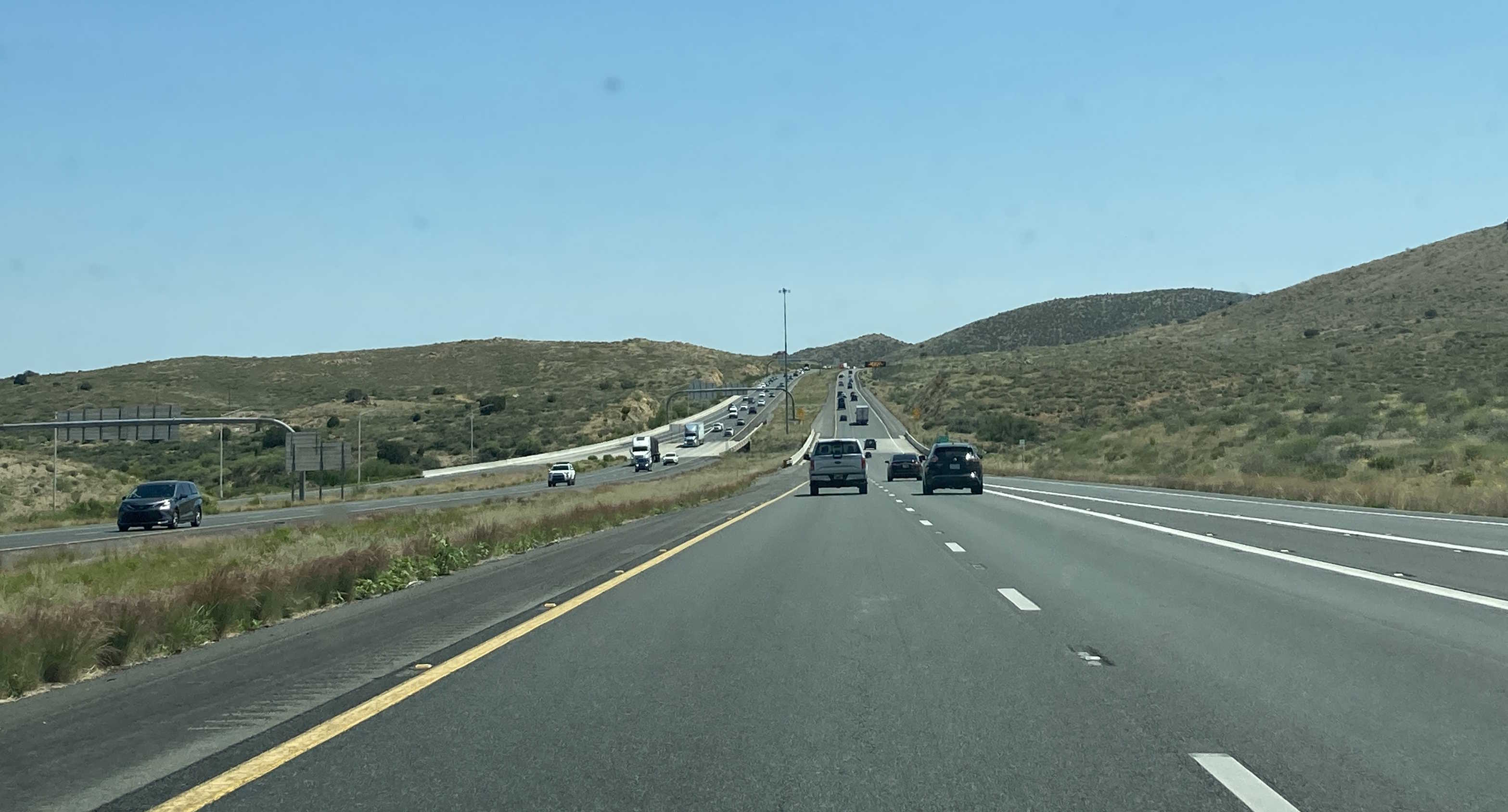
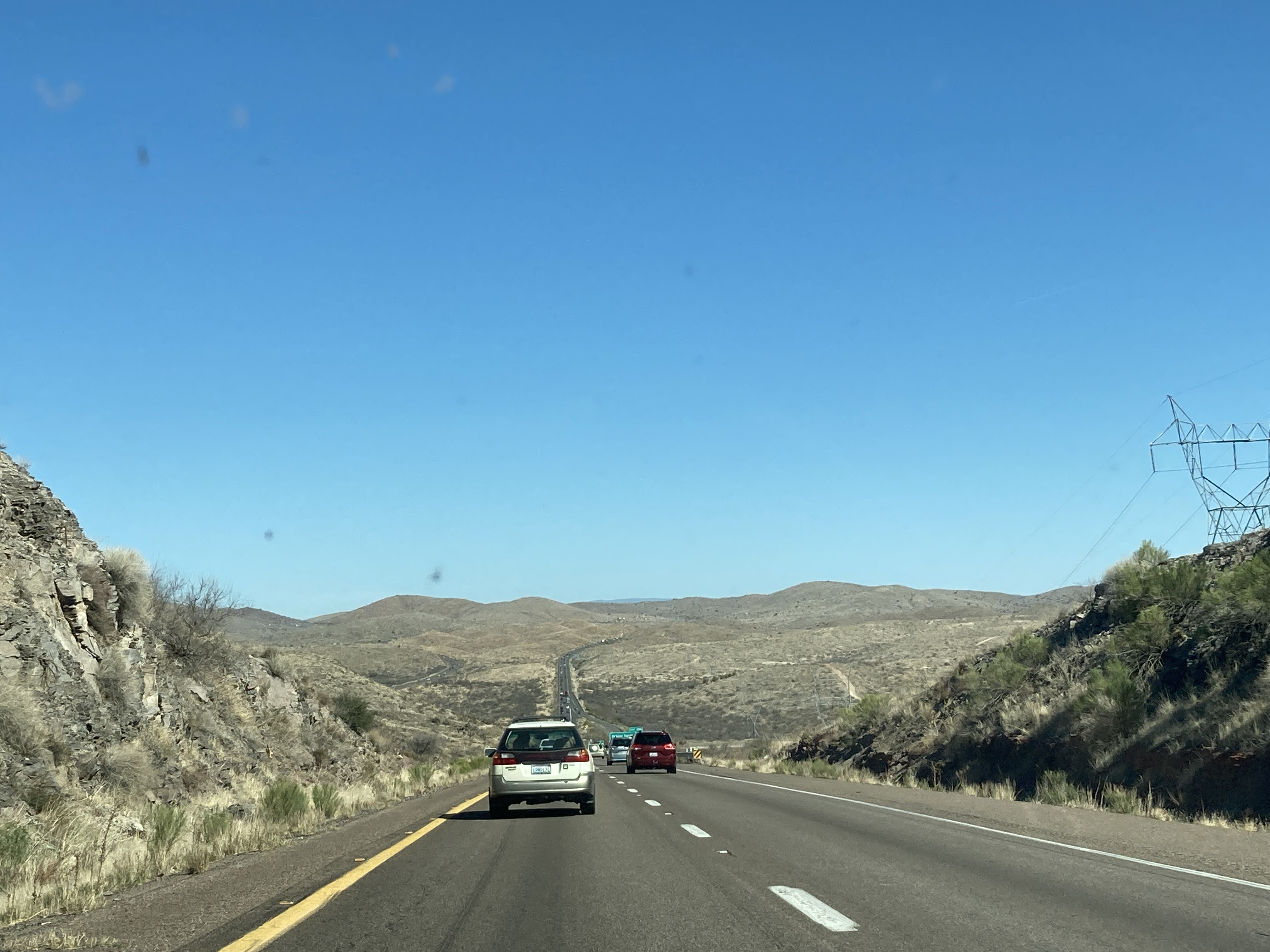
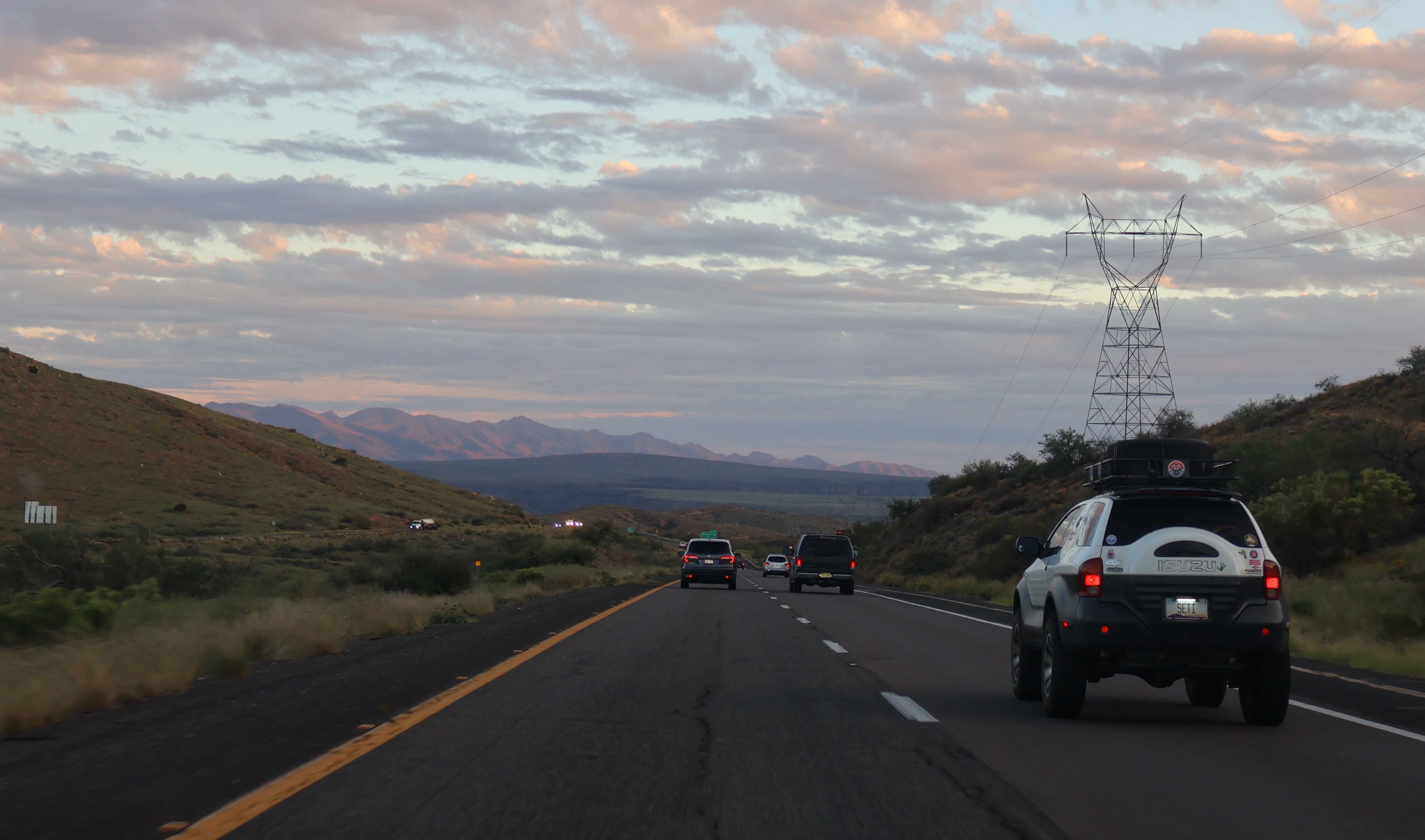
6/2/2023 - Interstate 17 South, south of SR 69 - Cordes Lakes
9/9/2023 - Interstate 17 South @ Interstate 10 - Phoenix
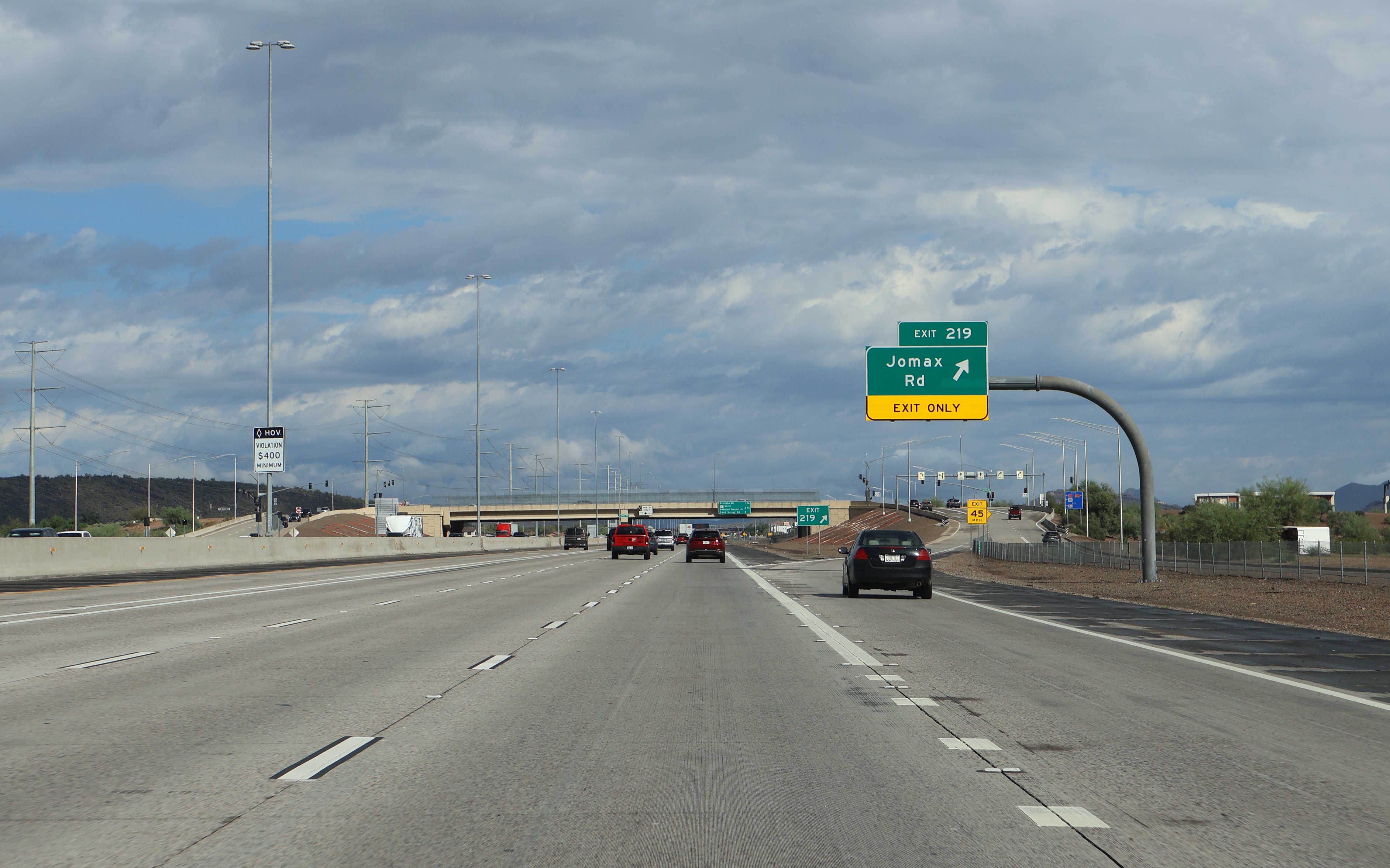
10/12/2025 - Interstate 17 North @ Jomax Rd - Phoenix
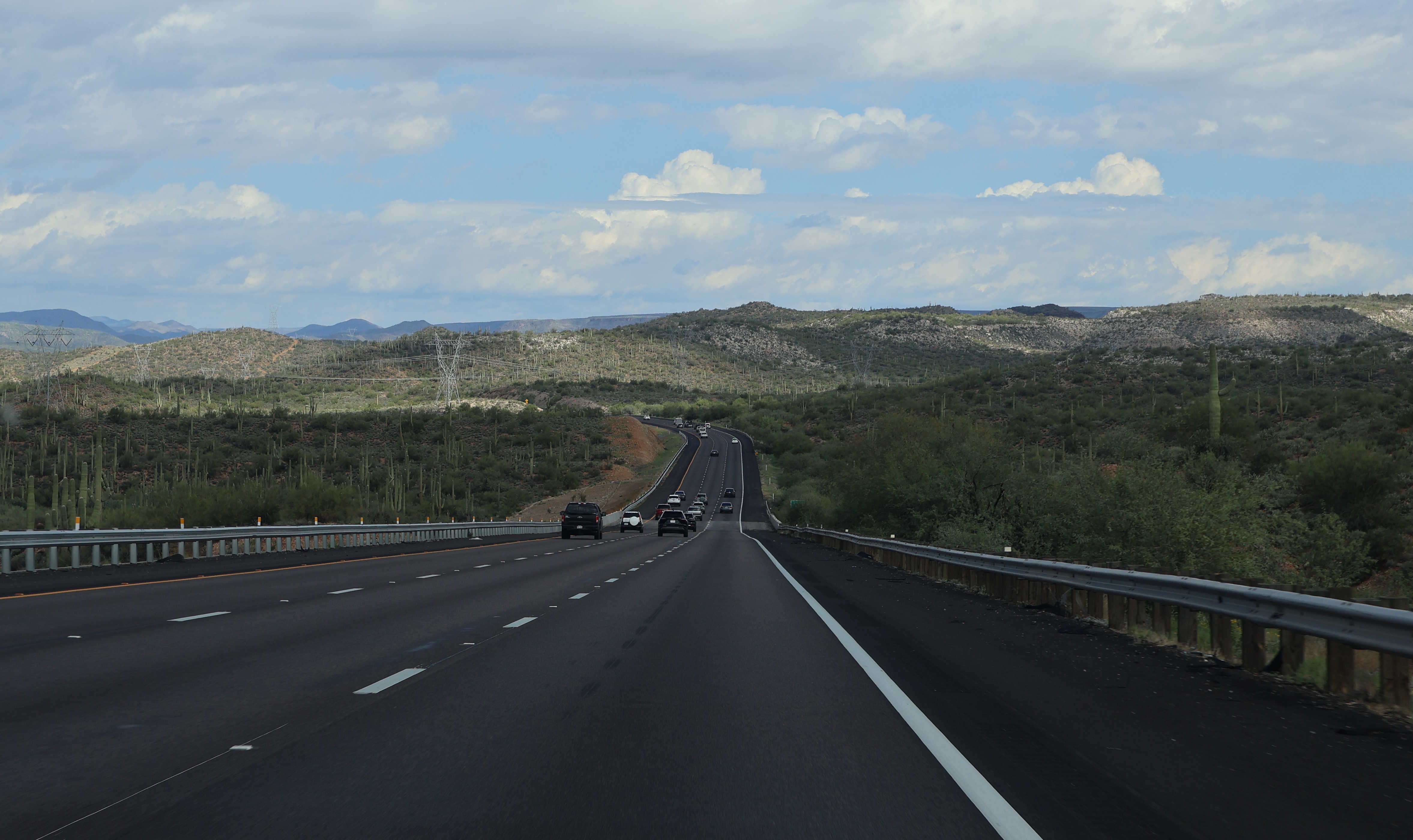
10/12/2025 - Interstate 17 North, north of Mile 237
10/12/2025 - Interstate 17 North, south of Mile 241
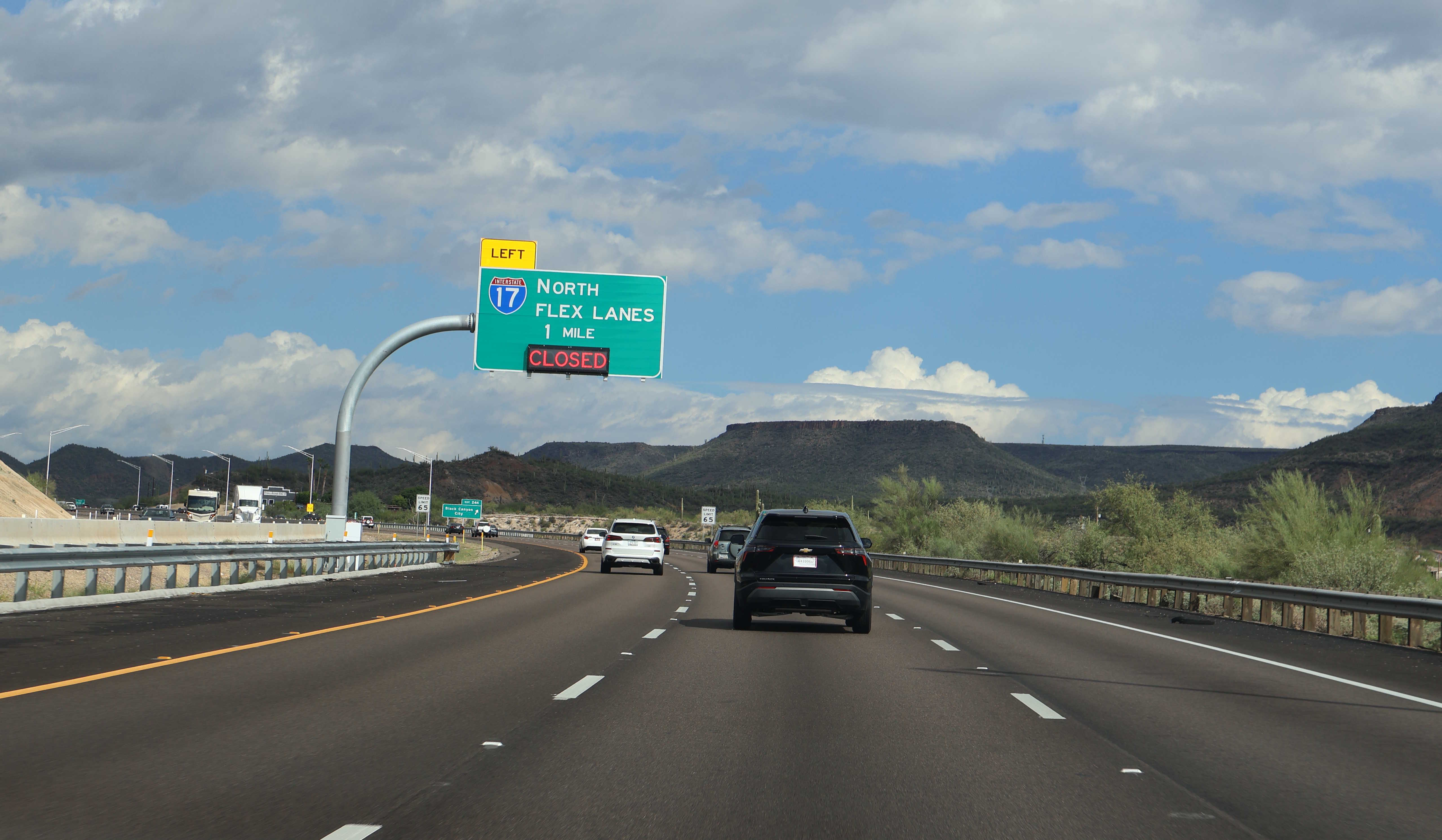
10/12/2025 - Interstate 17 North, south of Coldwater Rd - Black Canyon City
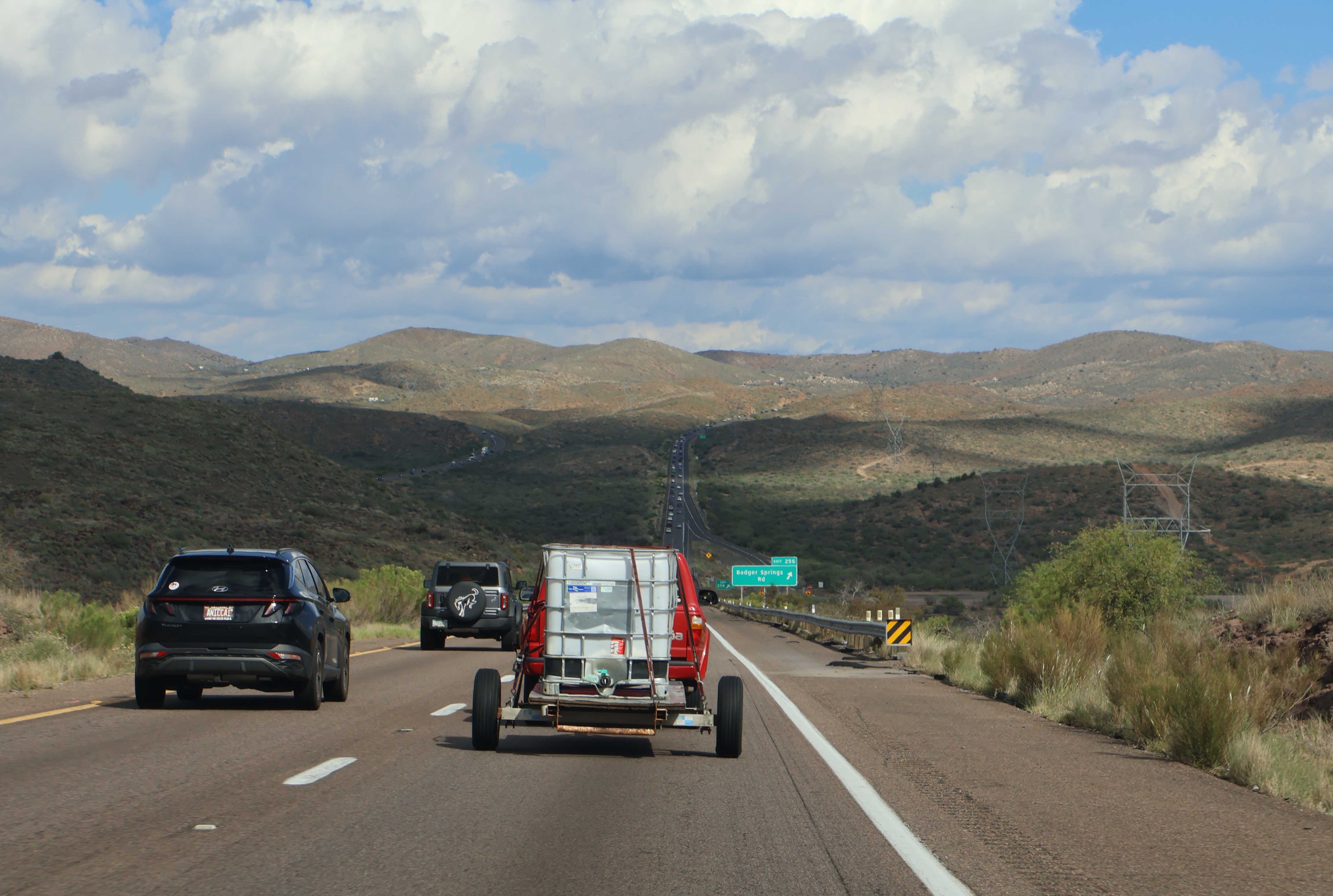
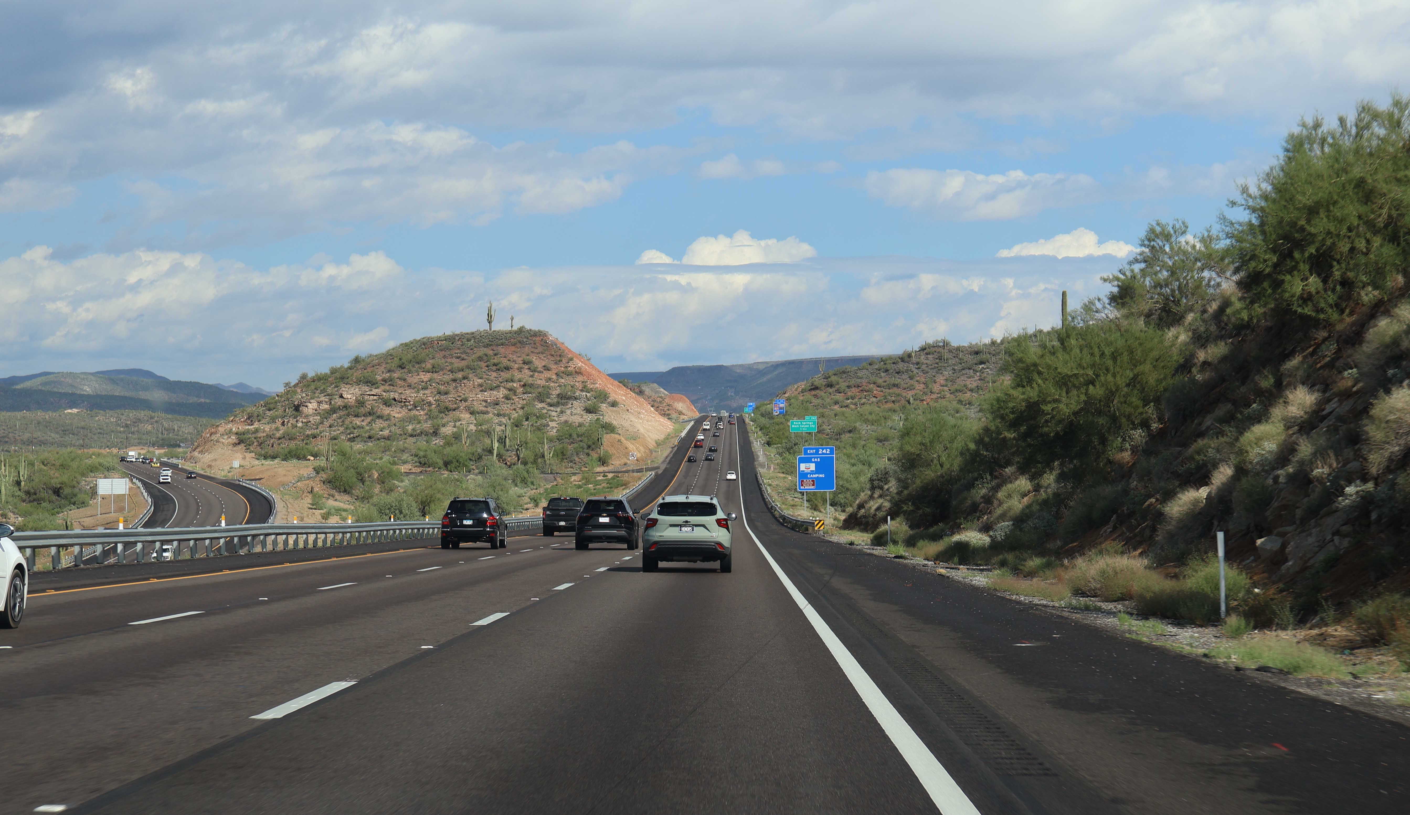
10/12/2025 - Interstate 17 North, south of Badger Springs Rd
10/12/2025 - Interstate 17 North, north of General Crook Tr - Camp Verde
10/12/2025 - Interstate 17 South, north of Bloody Basin Rd - Cordes Lakes
3/1/2026 - Interstate 17 North, north of McDowell Rd - Phoenix
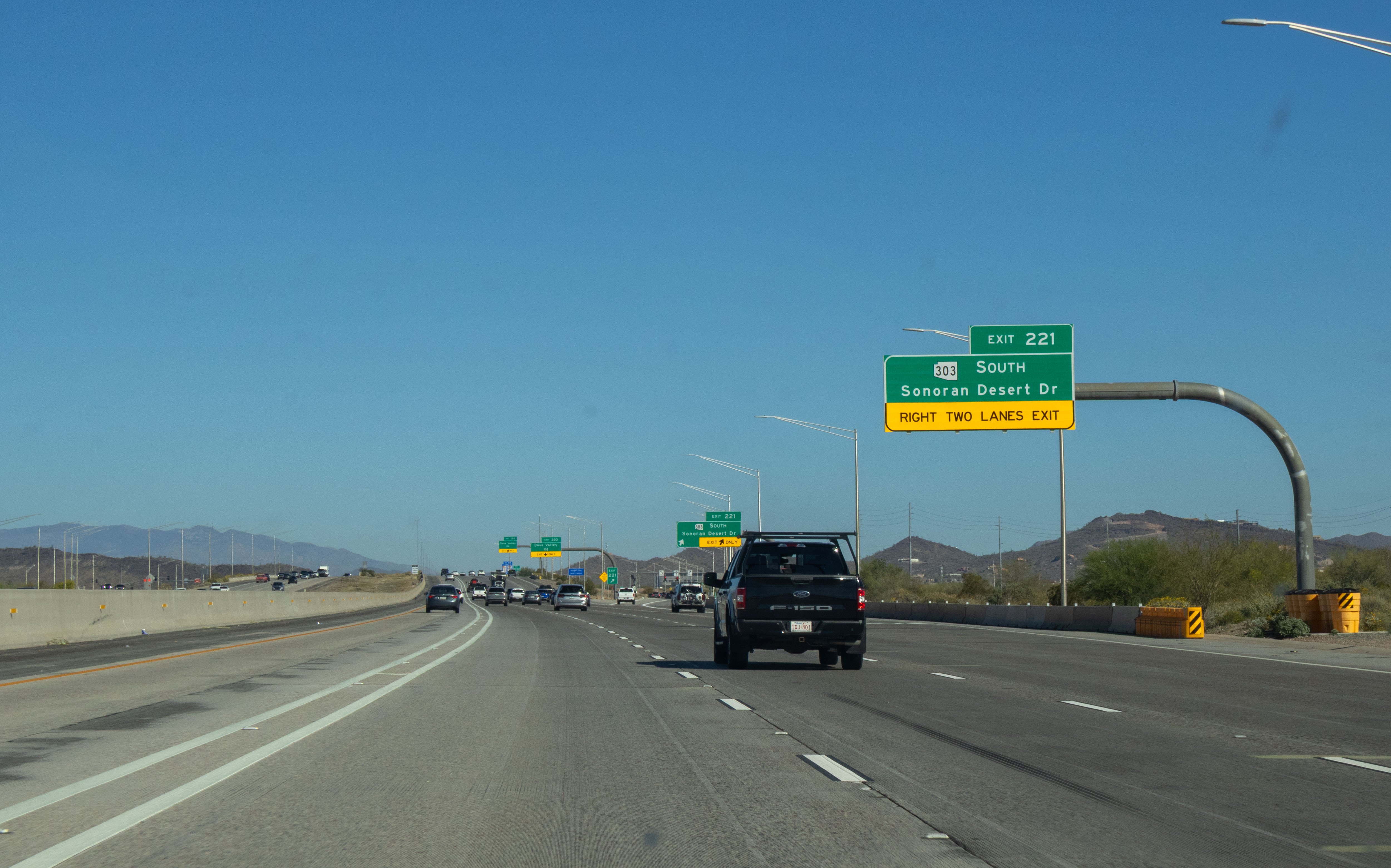
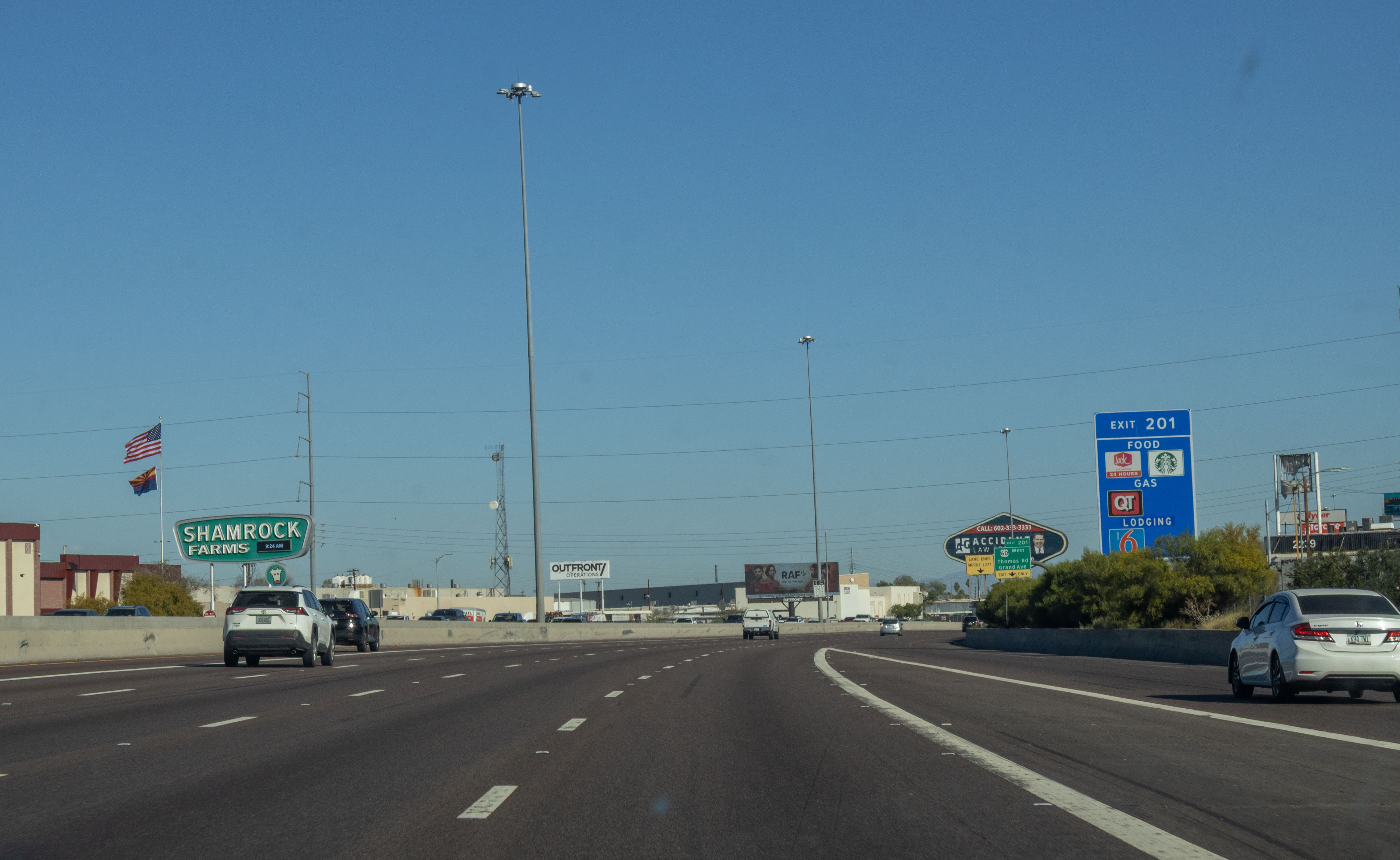
3/1/2026 - Interstate 17 North, south of Loop 303/Sonoran Desert Dr - Phoenix
3/1/2026 - Interstate 17 North, south of Velda Rose Rd - Black Canyon City
Exit List
| Exit/ Mile | Northbound Exits Read down | Southbound Exits Read up | ||||
|---|---|---|---|---|---|---|
| 194 | Globe Tucson | |||||
Sky Harbor Airport | ||||||
| 195A | 16th St | |||||
| 195B | 7th St Central Ave | 7th St | ||||
| 196 | 7th Ave | 7th Ave Central Ave | ||||
| 197 | 19th Ave State Capitol | Durango St 19th Ave | ||||
| 198 | Buckeye Rd | |||||
| 199A | Grant St | Grant St Buckeye Rd | ||||
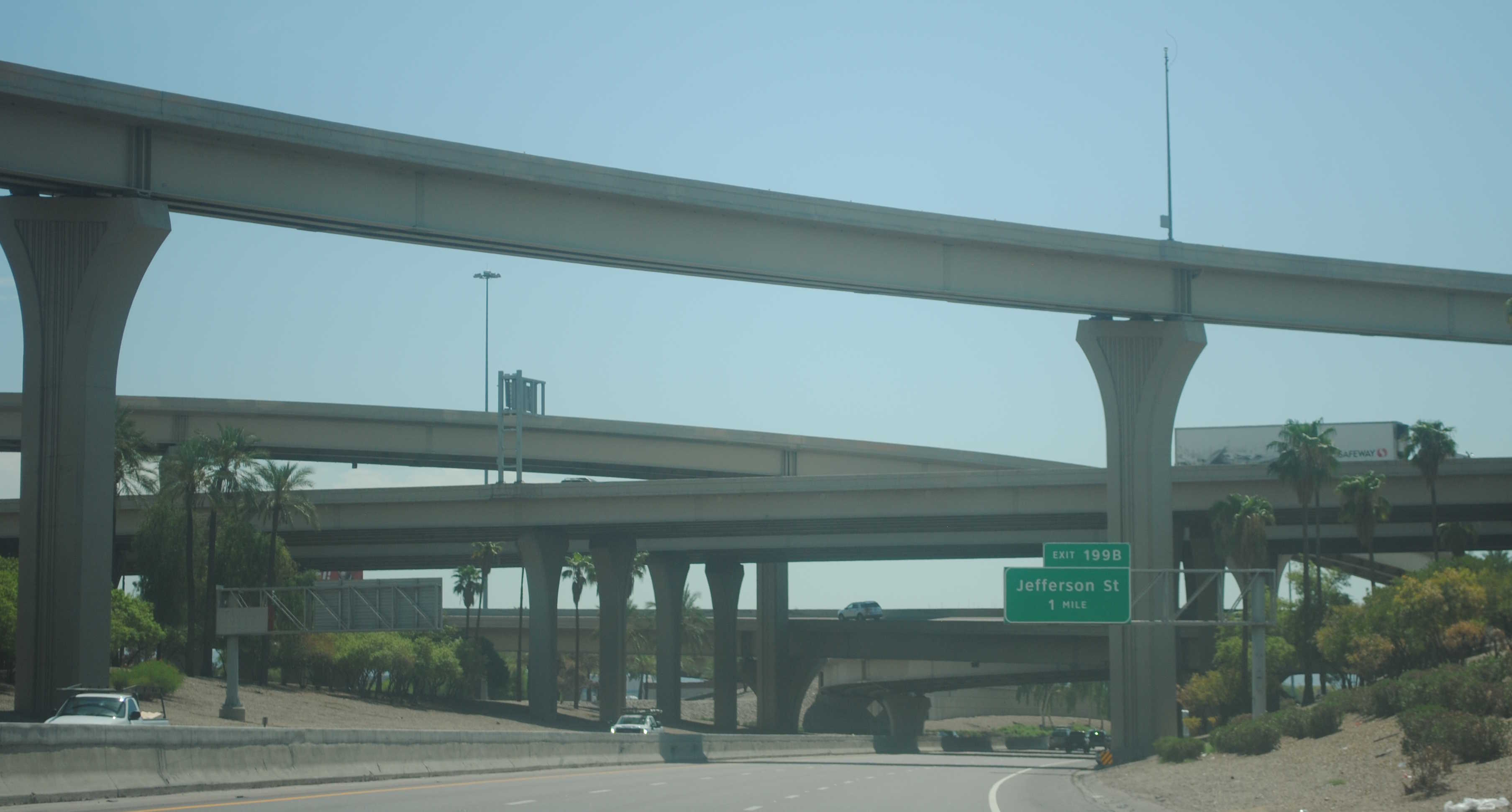
| 199B | Adams St Van Buren St | Jefferson St | ||||
| 200A |
|
| ||||
| 200B | McDowell Rd | McDowell Rd Van Buren St | ||||
| 201 | Thomas Rd Grand Ave | Thomas Rd | ||||
| 202 | Indian School Rd VA Hospital | Indian School Rd VA Hospital | ||||
| 203 | Camelback Rd Grand Canyon Univ | Camelback Rd Grand Canyon Univ | ||||
| 204 | Bethany Home Rd | Bethany Home Rd | ||||
| 205 | Glendale Ave | Glendale Ave | ||||
| 206 | Northern Ave | Northern Ave | ||||
| 207 | Dunlap Ave Glendale Comm College Ottawa University DeVry University | Dunlap Ave Glendale Comm College Ottawa University DeVry University | ||||
| 208 | Peoria Ave | Peoria Ave | ||||
| 209 | Cactus Rd | Cactus Rd | ||||
| 210 | Thunderbird Rd Arizona State University - West | Thunderbird Rd Arizona State University - West | ||||
| 211 | Greenway Rd Northern Arizona University | Greenway Rd Northern Arizona University | ||||
| 212 | Bell Rd | Bell Rd | ||||
| 214A | Union Hills Dr | Union Hills Dr | ||||
| 214B | Yorkshire Dr | Yorkshire Dr | ||||
| 214C | ||||||
| 215A | Rose Garden Ln Deer Valley Rd | |||||
| 215B | Deer Valley Rd | Deer Valley Rd Rose Garden Ln | ||||
| 217 | Pinnacle Peak Rd | Pinnacle Peak Rd | ||||
| Arizona State Parks Outdoor Recreation Info Center | Arizona State Parks Outdoor Recreation Info Center | |||||
| 218 | Happy Valley Rd | Happy Valley Rd | ||||
| 219 | Jomax Rd | Jomax Rd | ||||
| 220 | Dixileta Dr | Dixileta Dr | ||||
| 221 | Sonoran Desert Dr | Sonoran Desert Dr | ||||
| 222 | Dove Valley Rd | Dove Valley Rd | ||||
| 223 | Carefree Hwy Wickenburg | |||||
| Ben Avery Shooting Range Lake Pleasant Regional Park | ||||||
| 223A | Carefree Hwy East | |||||
| 223B | Carefree Hwy Wickenburg | |||||
| EXIT 25 MPH | ||||||
| Ben Avery Shooting Range Lake Pleasant Regional Park | ||||||
| 225 | Pioneer Rd | Pioneer Rd | ||||
| Pioneer Living History Museum | Pioneer Living History Museum | |||||
| 227 | Daisy Mountain Dr | Daisy Mountain Dr | ||||
| 229 | Anthem Way | Anthem Way | ||||
| 232 | New River | New River | ||||
| 236 | Table Mesa Rd | Table Mesa Rd | ||||
| 241 | ENTERING Yavapai County | ENTERING Maricopa County | ||||
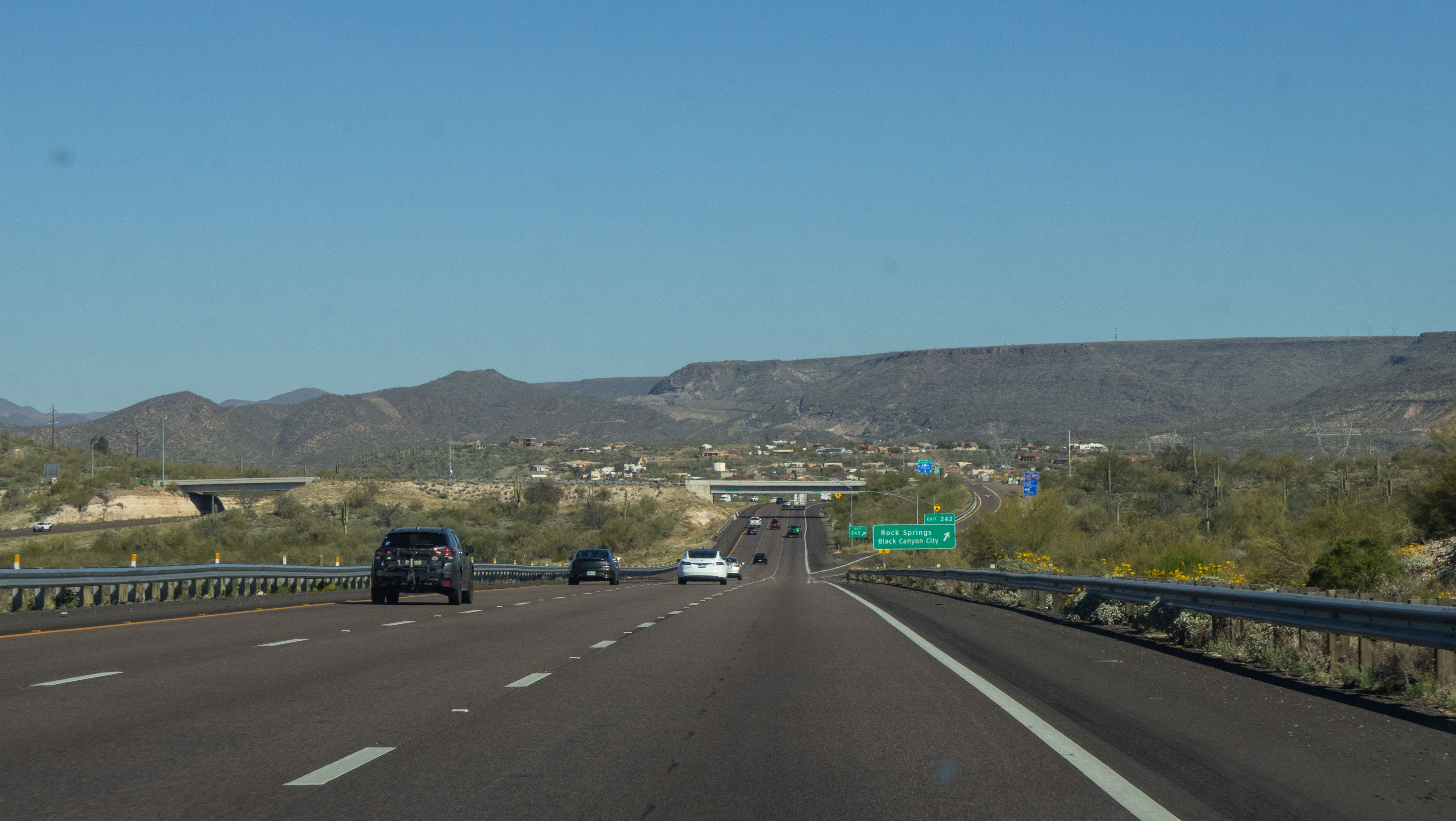
| 242 | Rock Springs Black Canyon City | Rock Springs Black Canyon City | ||||
| 244 | Black Canyon City Coldwater Rd | Black Canyon City Coldwater Rd | ||||
| 248 | Bumble Bee Crown King | Bumble Bee | ||||
| Horsethief Basin Recreation Area | ||||||
| 252 | Sunset Point REST AREA SCENIC VIEW | Sunset Point REST AREA SCENIC VIEW | ||||
| 256 | Badger Springs Rd | Badger Springs Rd | ||||
| 259 | Bloody Basin Rd | Bloody Basin Rd | ||||
| Agua Fria National Monument Horsethief Basin | ||||||
| 262 | Cordes Lakes Rd Prescott | |||||
| 263 | Arcosanti Rd | Arcosanti Rd Prescott Cordes Lakes Rd Arcosanti | ||||
| 268 | Orme Rd Dugas Rd | Orme Rd Dugas Rd | ||||
| 278 | Dewey-Humboldt | Prescott Dewey-Humboldt | ||||
| 285 | Gen Crook Trail | Gen Crook Trail | ||||
| Fort Verde State Park | Fort Verde State Park | |||||
| 287 | Cottonwood Payson Jerome - Clarkdale Tuzigoot Natl Mon | Cottonwood Payson Jerome - Clarkdale Tuzigoot Natl Mon | ||||
| 289 | Middle Verde Rd | Middle Verde Rd | ||||
| Montezuma Castle National Monument | Montezuma Castle National Monument | |||||
| 293 | McGuireville Montezuma Well Rimrock Lake Montezuma Cornville | McGuireville Montezuma Well Rimrock Lake Montezuma Cornville | ||||
| 296 | Rest Area | Rest Area | ||||
| 298 | Sedona | Sedona | ||||
| Oak Creek Canyon | Oak Creek Canyon | |||||
| 306 | Stoneman Lake Rd | Stoneman Lake Rd | ||||
| 311 | ENTERING Coconino County | ENTERING Yavapai County | ||||
| 313 | Scenic View | |||||
| 315 | Rocky Park Rd | Rocky Park Rd | ||||
| 317 | Fox Ranch Rd | Fox Ranch Rd | ||||
| 320 | Schnebly Hill Rd | Schnebly Hill Rd | ||||
| 322 | Munds Park Pinewood Blvd | Munds Park Pinewood Blvd | ||||
| 326 | Willard Springs Rd | Willard Springs Rd | ||||
| 328 | Newman Park Rd | Newman Park Rd | ||||
| 331 | Kelly Canyon Rd | Kelly Canyon Rd | ||||
| 333 | Kachina Blvd Mountainaire Rd | Kachina Blvd Mountainaire Rd | ||||
| 337 | Flagstaff Airport | Sedona Oak Creek Canyon Flagstaff Airport | ||||
| Fort Tuthill County Park | Fort Tuthill County Park | |||||
| 339 | Lake Mary Rd Mormon Lake | Lake Mary Rd Mormon Lake | ||||
| 340A | Albuquerque | Albuquerque | ||||
| 340B | Los Angeles | Los Angeles | ||||
| 341 | McConnell Dr | |||||
| FREEWAY ENDS |
Page last updated: 3/8/2026