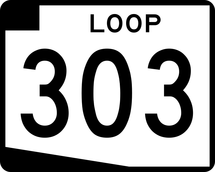
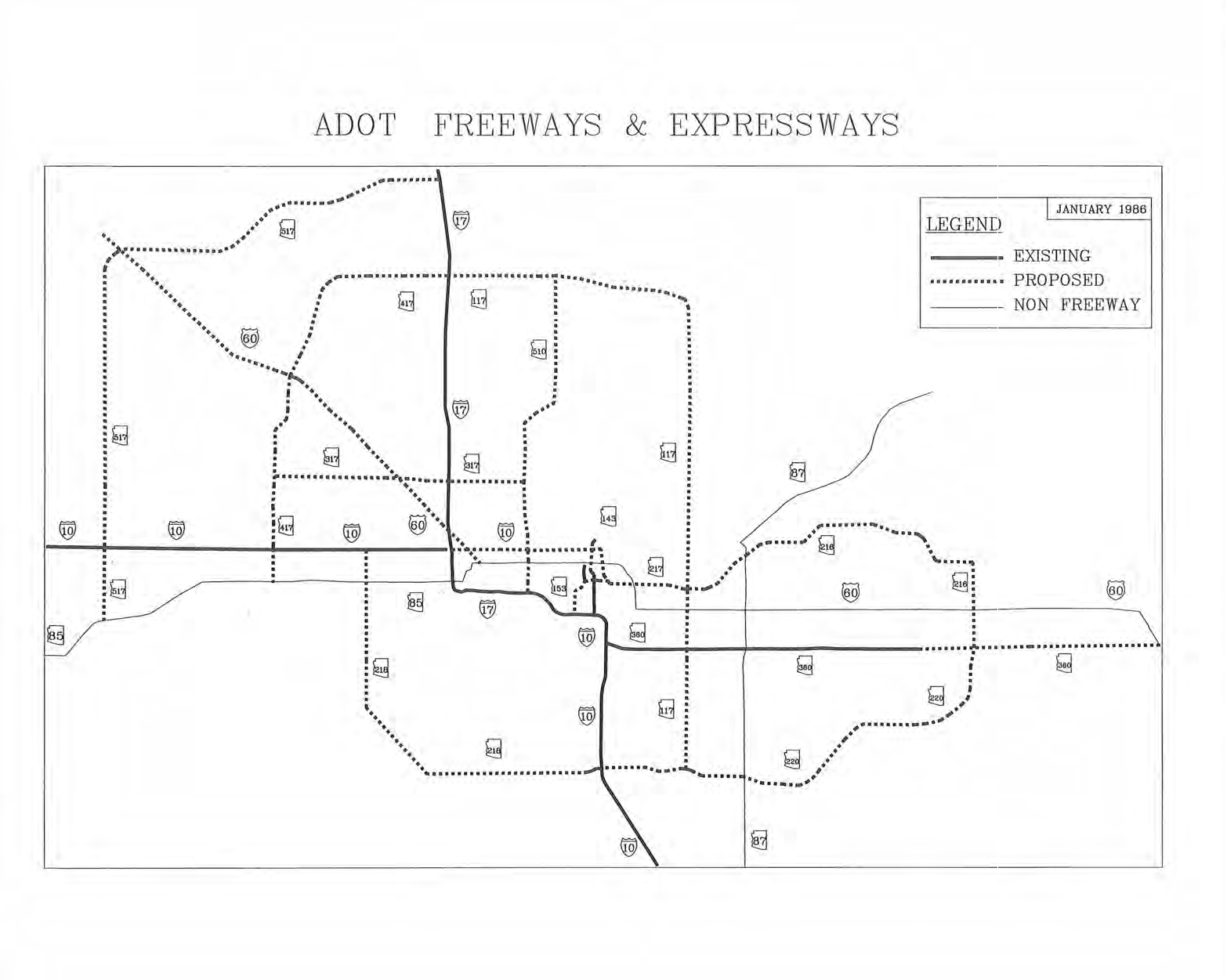
Loop 303
State Route 303 is the third of the 3 highways that "loop" around the Phoenix area. The Loop 303 is the only loop that is currently signed as north/south for its entire length. Loop 303 is the newest loop, and because of that, it's also the shortest. In 2025, construction is expected to start on a new extension of Loop 303 from Van Buren St, south of I-10 to Maricopa County 85.
Cool Features
The Loop 303 is fully designated as the Bob Stump Memorial Parkway.
 All of the loop highways were originally signed with uniquely colored route shields; the 303's being an inverted standard shield. However, due to the Loop 202's brown shield being very vulnerable to fading, and that it was seemingly hard for contractors to get the colored signage correct in general, the colored shields were phased out. It is unlikely that there are many old Loop 303 shields still out in the wild since it was upgraded to a proper freeway.
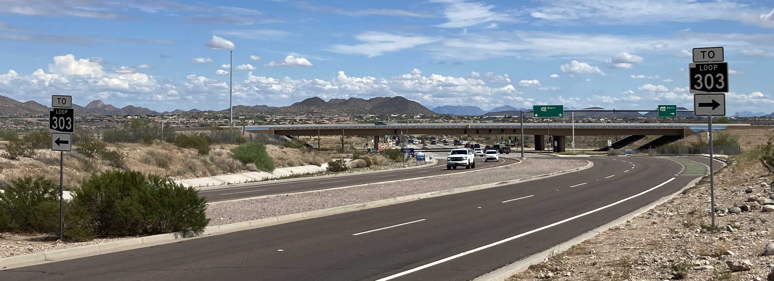
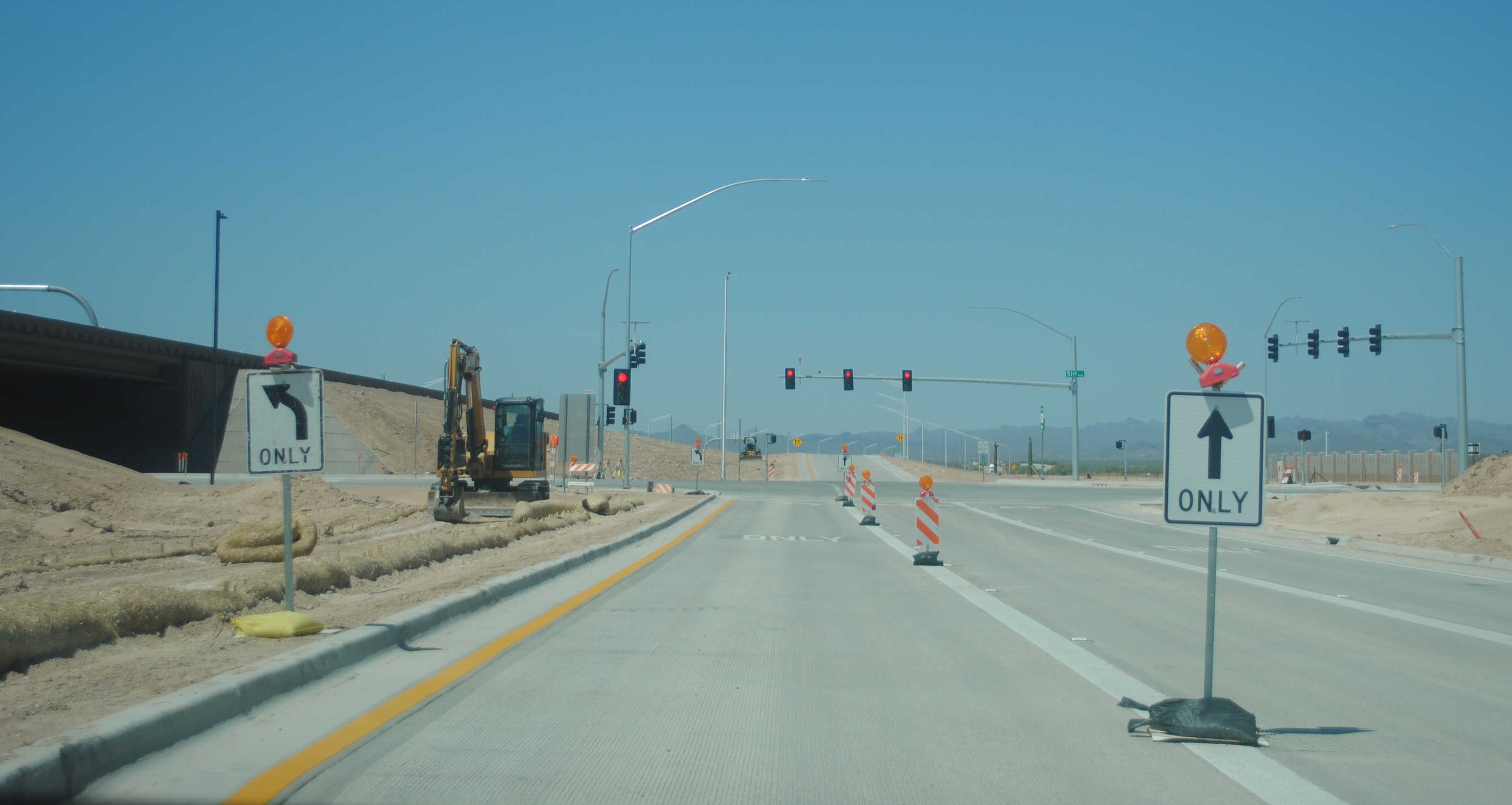
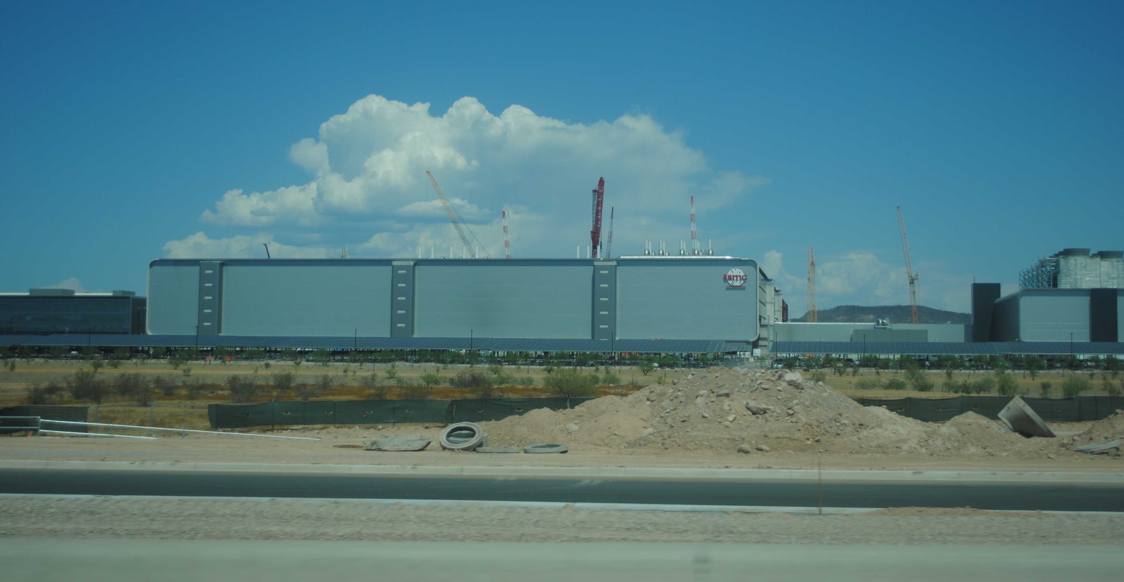
On September 8, 2023, ADOT opened new interchanges at 43rd and 51st Avenues to provide access for the future TSMC factory in North Phoenix and as part of the ongoing Lake Pleasant Pkwy to I-17 improvement project. The project will also include an interchange at 67th Avenue and new ramps at Interstate 17 some time in the future.
Related Routes
SR 517
Originally, Loop 303 was proposed as State Route 517. Overall, the current route of the freeway is kind of similar to how it actually turned out; however, the original proposal protrudes out more northwest than the existing path of Loop 303 today. Also, since the extension of Loop 303 south of I-10 down to MC 85 will be starting soon, it will finally complete this original SR 517 proposal.
Pictures
7/27/2022 - End of Loop 303 South, south of Van Buren St - Goodyear
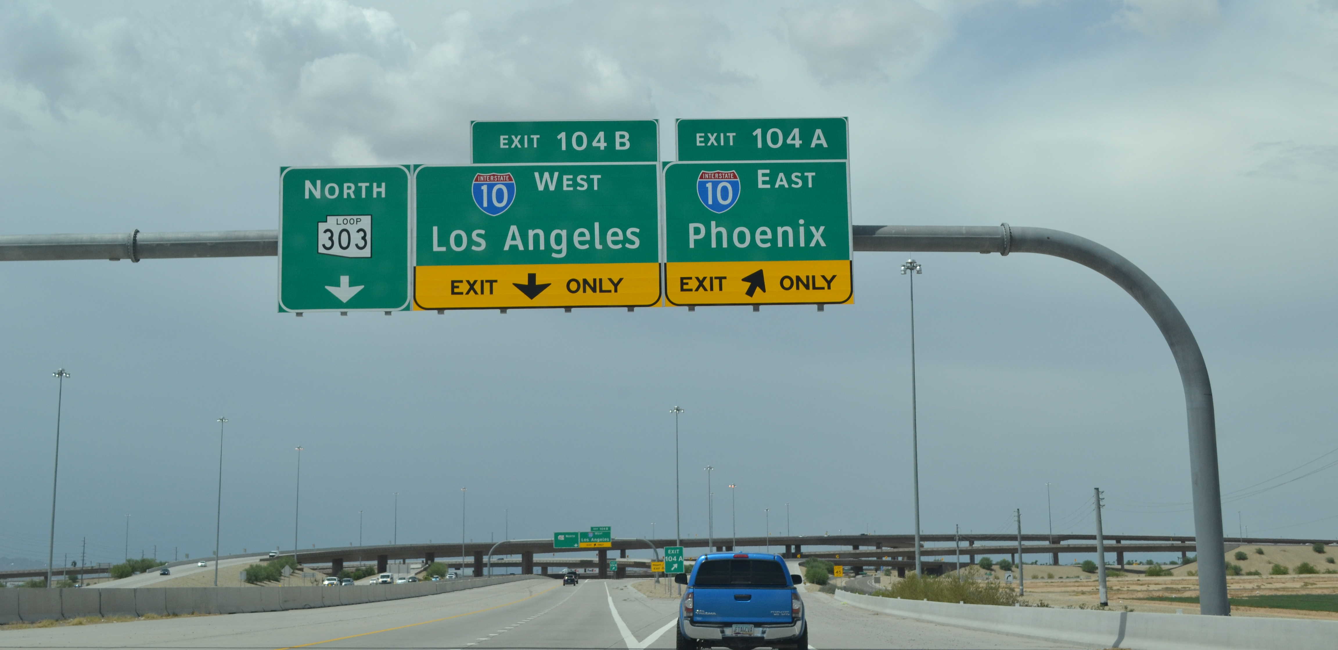
7/27/2022 - Loop 303 North @ I-10 exit - Goodyear
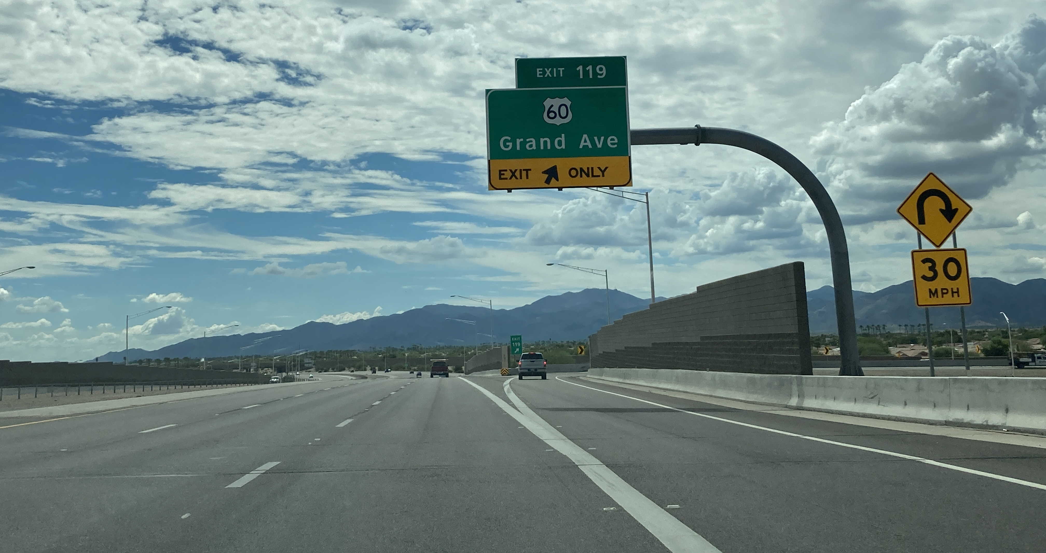
9/10/2022 - Loop 303 South @ Grand Ave (US 60) exit - Surprise
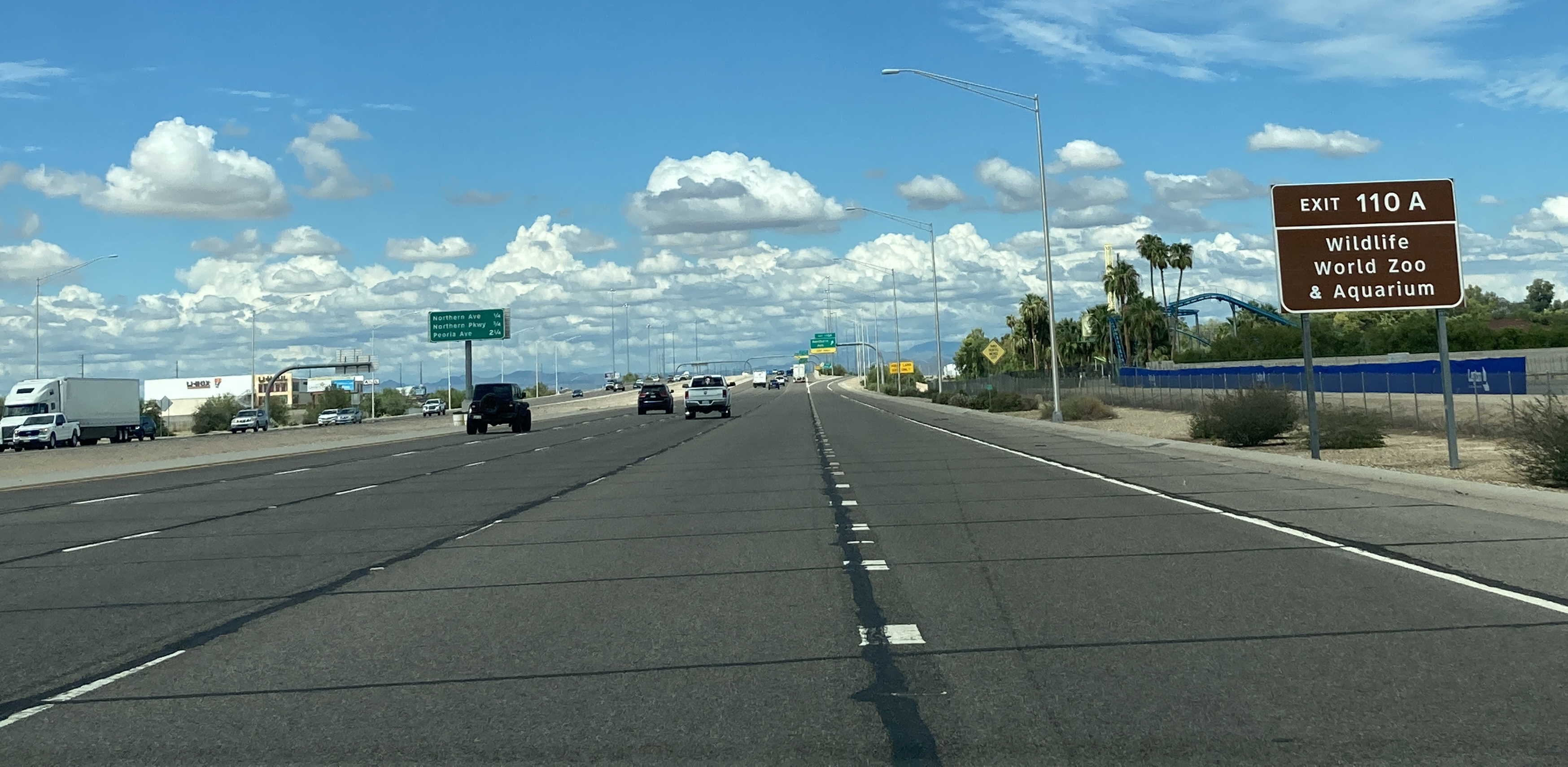
9/10/2022 - Loop 303 North, south of Northern Ave - Glendale
9/10/2022 - Loop 303 South @ Camelback Rd - Goodyear
5/31/2023 - Loop 303 North @ Olive Ave
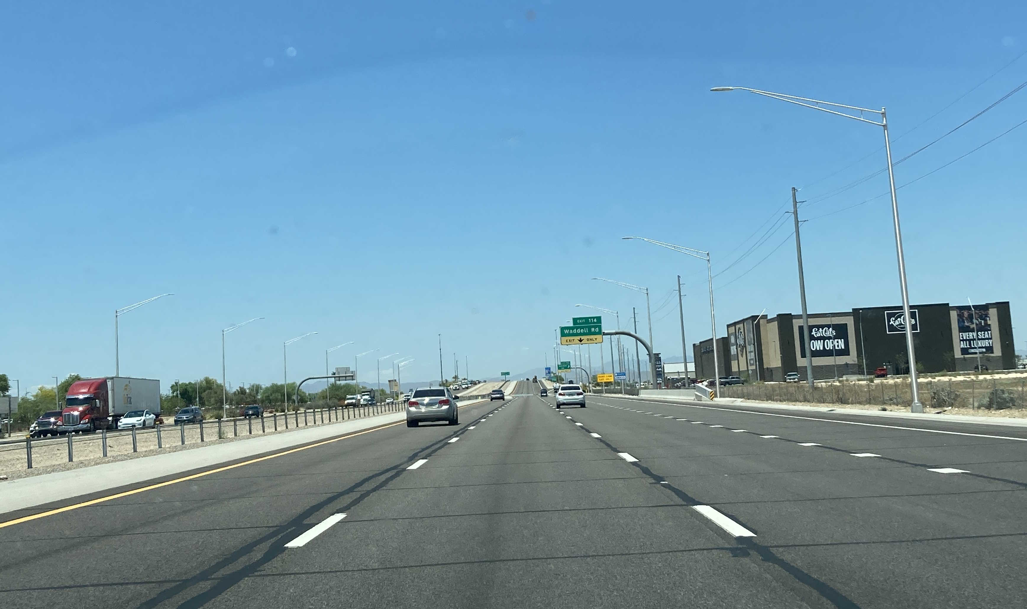
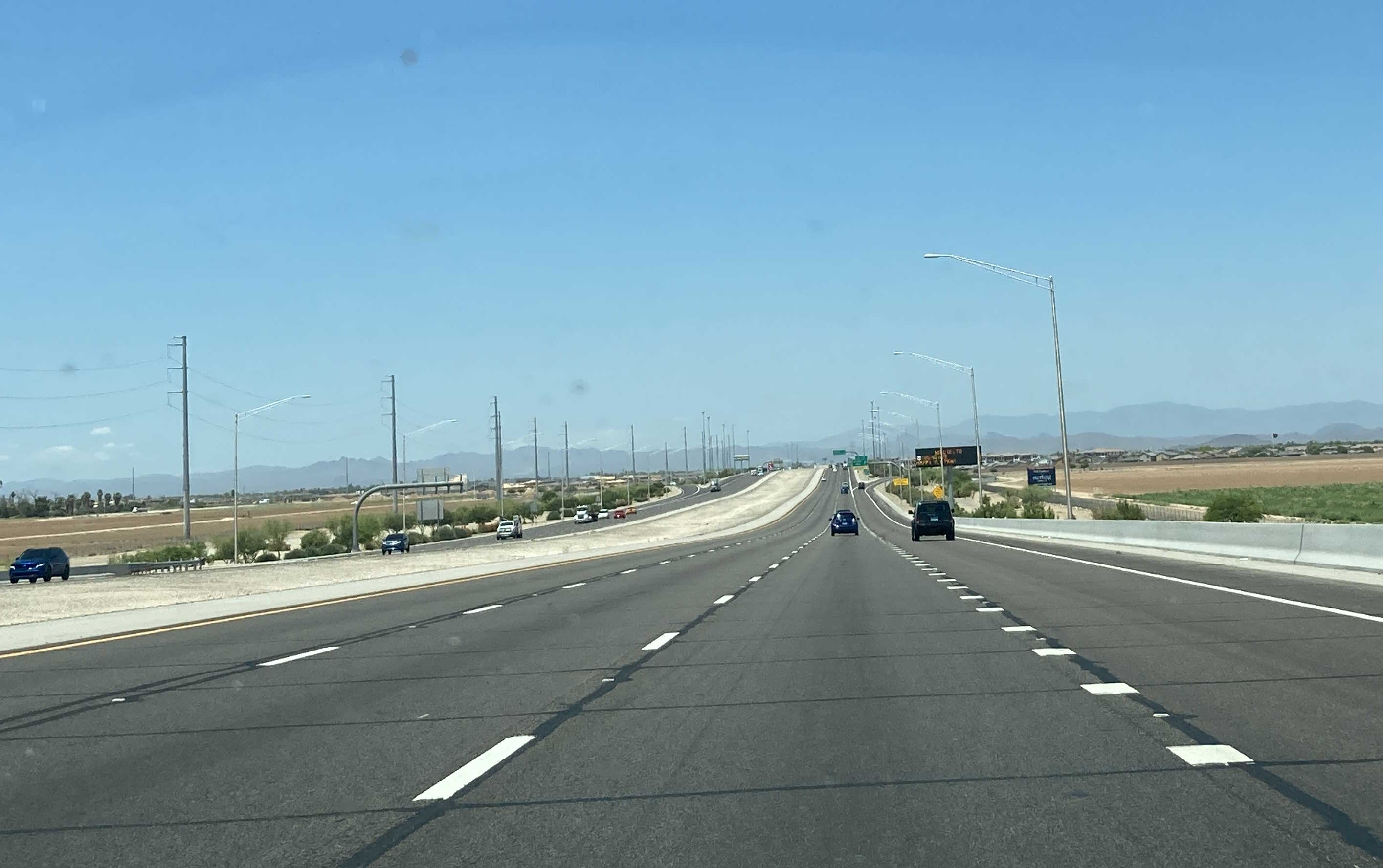
5/31/2023 - Loop 303 North @ Waddell Rd - Surprise
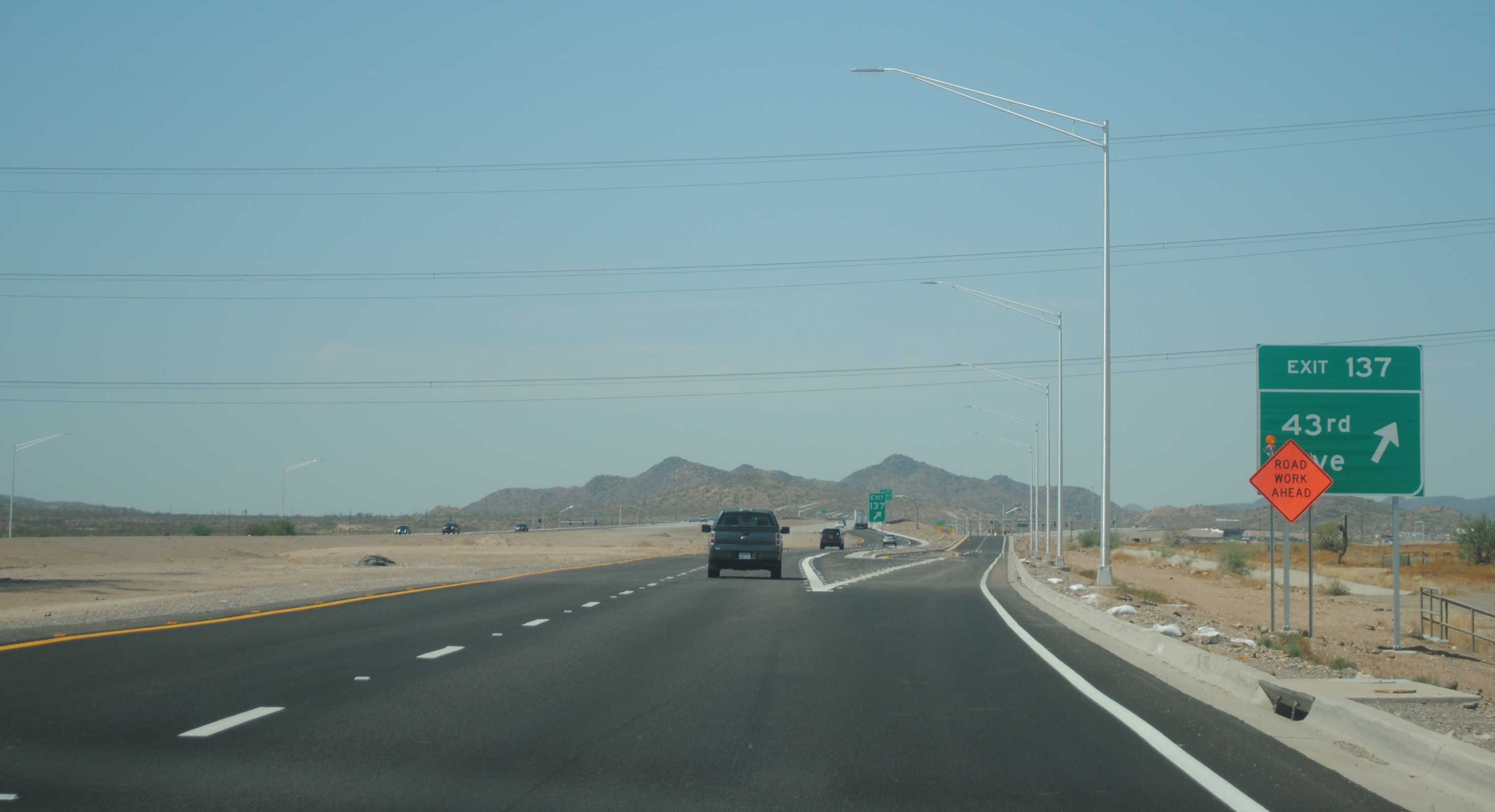
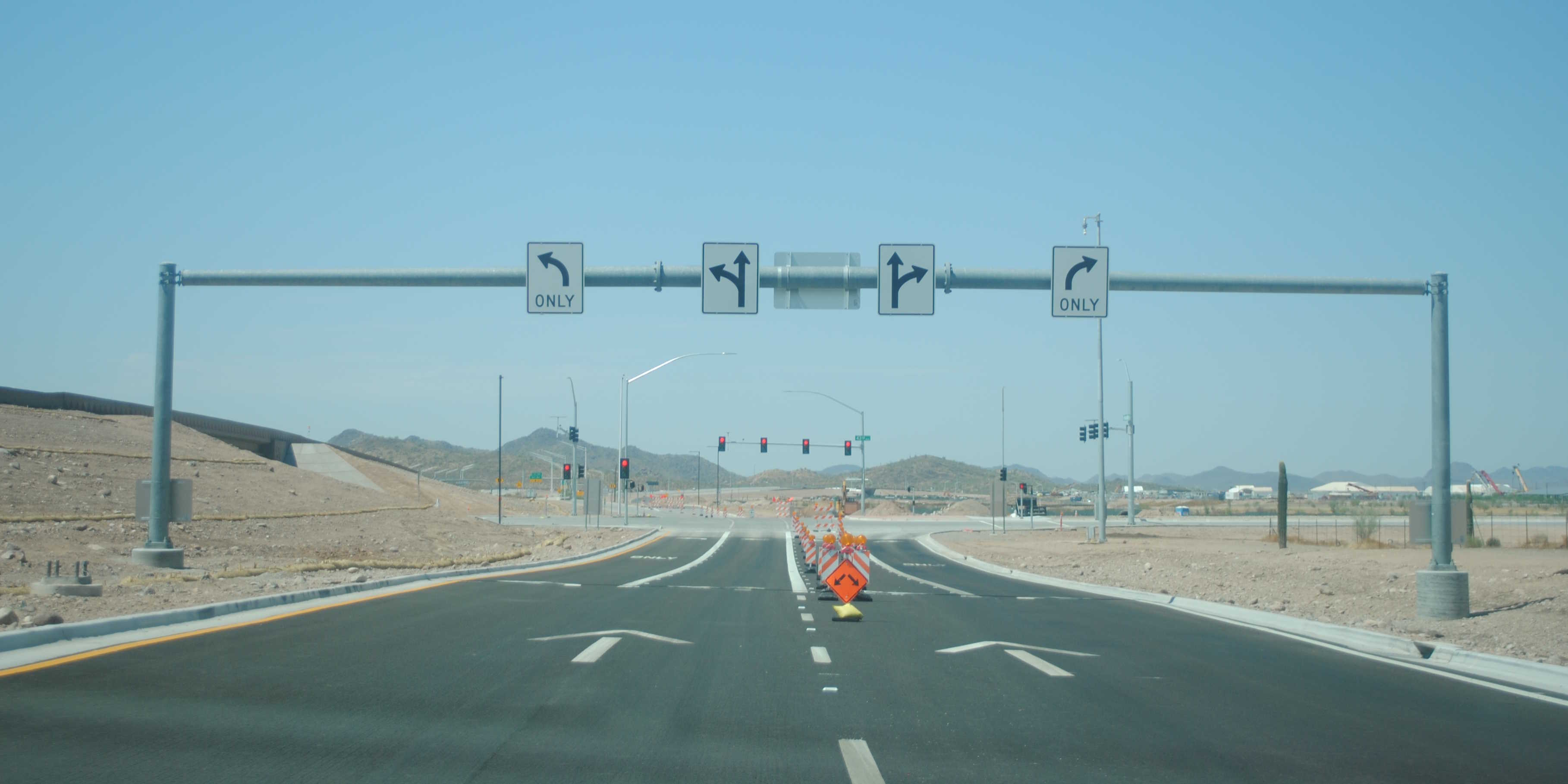
9/9/2023 - Loop 303 South @ 43rd Ave - Phoenix
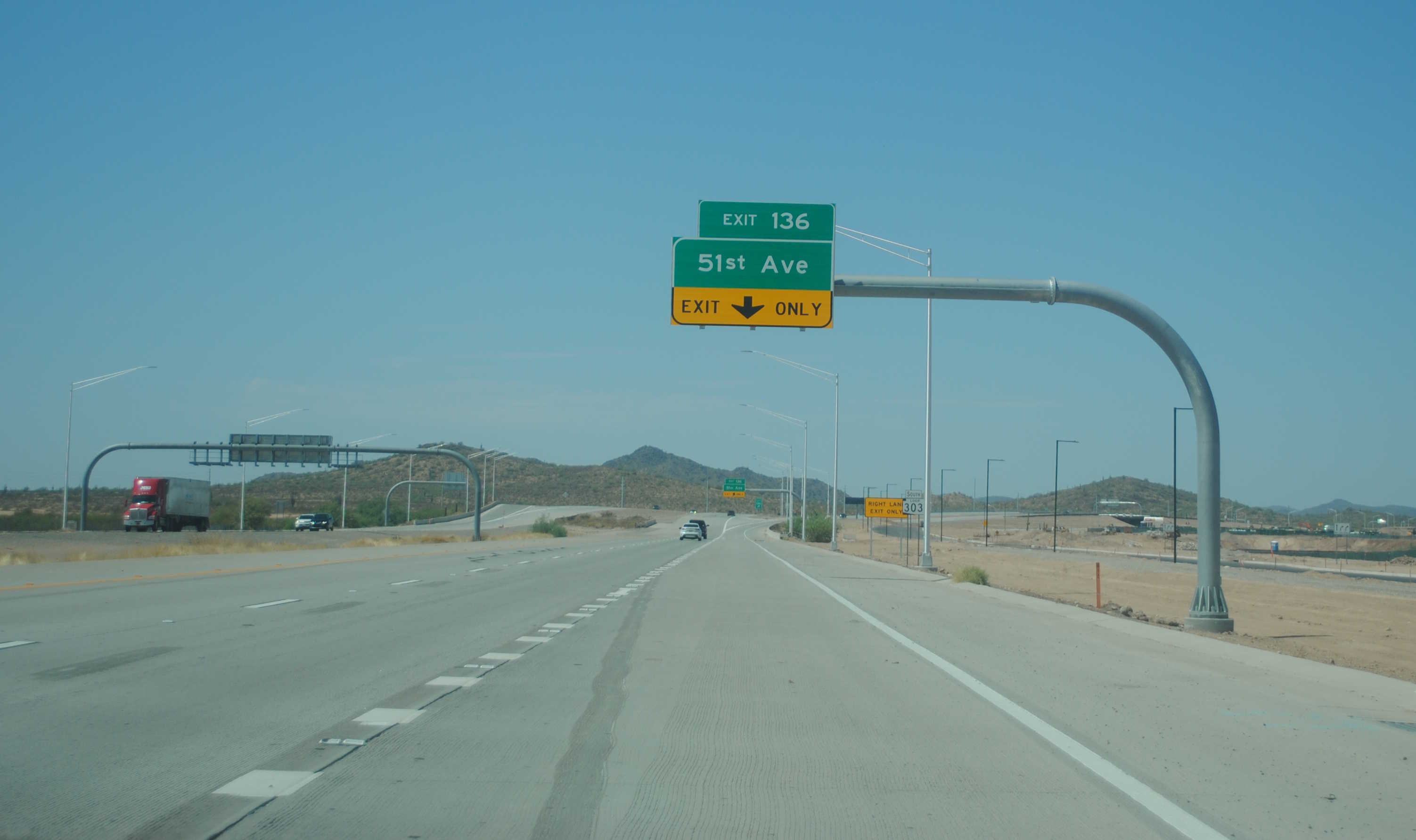
9/9/2023 - Loop 303 South @ 51st Ave - Phoenix
Exit List
| Exit/ Mile |
Northbound Exits Read down |
Southbound Exits Read up |
|---|---|---|
| 100 | Maricopa County 85 | |
| 101 | Elwood St | |
| 102 | Yuma Road | Yuma Road |
| 103 | Van Buren St McDowell Rd |
Van Buren St McDowell Rd |
| 104A | Phoenix |
Phoenix |
| 104B | Los Angeles |
Los Angeles |
| 105 | Thomas Rd McDowell Rd Van Buren St |
|
| 106 | Indian School Rd | Indian School Rd |
| 107 | Camelback Rd | Camelback Rd |
| 108 | Bethany Home Rd | Bethany Home Rd |
| 109 | Glendale Ave | Glendale Ave |
| 110A | Northern Ave | |
| Wildlife World Zoo & Aquarium | ||
| 110B | Northern Pkwy | Northern Pkwy |
| Wildlife World Zoo & Aquarium | ||
| 112 | Peoria Ave | Peoria Ave |
| 113 | Cactus Rd | Cactus Rd |
| 114 | Waddell Rd | Waddell Rd |
| 115 | Greenway Rd | Greenway Rd |
| 116 | Bell Rd | Bell Rd |
| 119 | Grand Ave |
Grand Ave |
| 123 | El Mirage Rd | El Mirage Rd |
| 125 | Happy Valley Pkwy Vistancia Blvd |
Happy Valley Pkwy Vistancia Blvd |
| 126 | Jomax Parkway | Jomax Parkway |
| 127 | Lone Mtn Parkway | Lone Mtn Parkway |
| 131 | Lake Pleasant Parkway | Lake Pleasant Parkway |
| 134 | 67th Ave | 67th Ave |
| 136 | 51st Ave | 51st Ave |
| 137 | 43rd Ave | 43rd Ave |
| 138 | Sonoran Desert Dr JCT |
|
Page last updated: 9/9/2023