Interstate 40
In Arizona, Interstate 40 runs from the California border near Kingman to the New Mexico border near Gallup, NM. I-40 is a decently major cross-country freeway from California to North Carolina. It replaced most of US 66.
Length: 2,559 miles in total, 359 miles in Arizona
Existed since: 1960
Current Route in Arizona: California state line near Kingman to New Mexico state line near Lupton
Current Route Nationally: Barstow, CA to Wilmington, NC
Major Junctions: AZ 95, US 93, AZ 66, AZ 89, AZ 64 , I-17, AZ 89A, US 180, AZ 99, AZ 87, AZ 77, US 191
Related Routes
Business Loop 40
Interstate 40 has business loops in Seligman, Ash Fork, Flagstaff, Winslow, Joseph City, and Holbrook. All I-40 business loops run mostly along the old route of US 66. In Seligman BL 40 runs from I-40 at Exit 121 and ends at I-40 at Exit 123. In Ash Fork, BL 40 runs from Exit 145 to Exit 146 of I-40 along Park and Lewis Avenues. BL 40 in Flagstaff runs from I-40 at Exit 191 along old US 66 to AZ 89A. From there is heads north along Milton Rd, then along Route 66 through downtown Flagstaff to US 180 at Humphreys St. BL 40 then runs south on Country Club Dr and ends at I-40 at Exit 201. In Winslow, BL 40 runs from I-40 Exit 252 to 255 along old US 66 (partially). Through the town itself, the road is maintained by the town, however there are still parts of the road maintained by ADOT as marked on the State Highway System map. Exit signage also mentions the Business Loop still. In Joseph City, BL 40 runs along former US 66 from I-40's Exit 274 to Exit 277. Lastly, in Holbrook, I-40's business loop runs from I-40 eExit 285 to Exit 289. Formerly, there were business loops in Kingman, Williams, East Flagstaff, and Winslow. Until 2009, BL 40 in Kingman ran from Exit 48 along Beale St, then went north up Andy Devine Ave and ended at I-40 at Exit 53. In Williams, BL 40 was decommissioned in 1990. It ran from Exit 161 of I-40 through downtown to Exit 165 of I-40. In Flagstaff, until 2008 there was a second business loop for I-40. This route ran from the other BL 40 along Santa Fe Ave until I-40's Exit 204.
Business Spur 40
There is one business spur of I-40 that can be found in Winslow. It runs from I-40 at Exit 252 along Hipkoe Dr. It then turns on 3rd St, westward it ends just north of Cooperstown Road and the county line.
Pictures
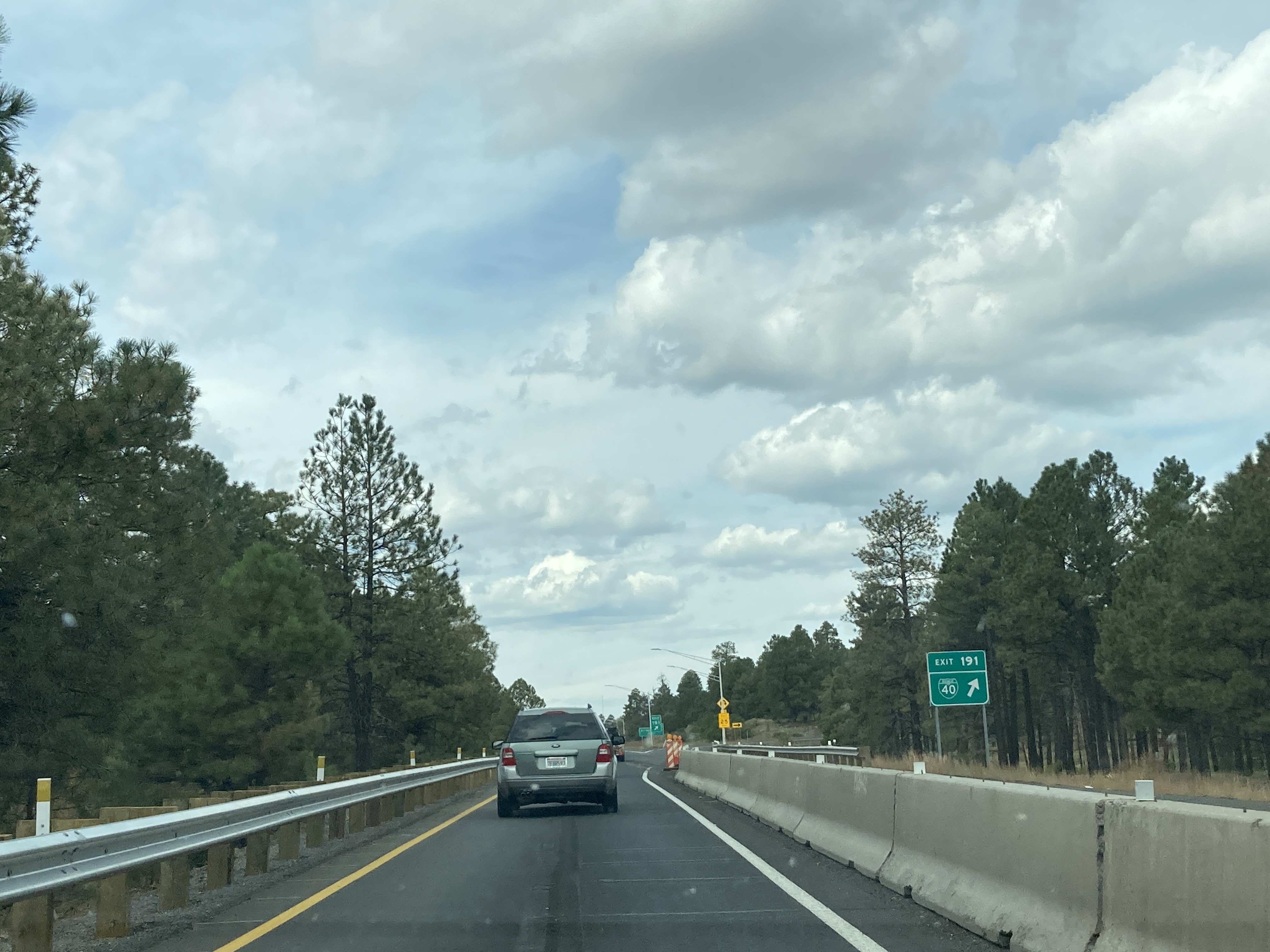
10/4/2021 - Interstate 40 West @ BL 40 - Flagstaff
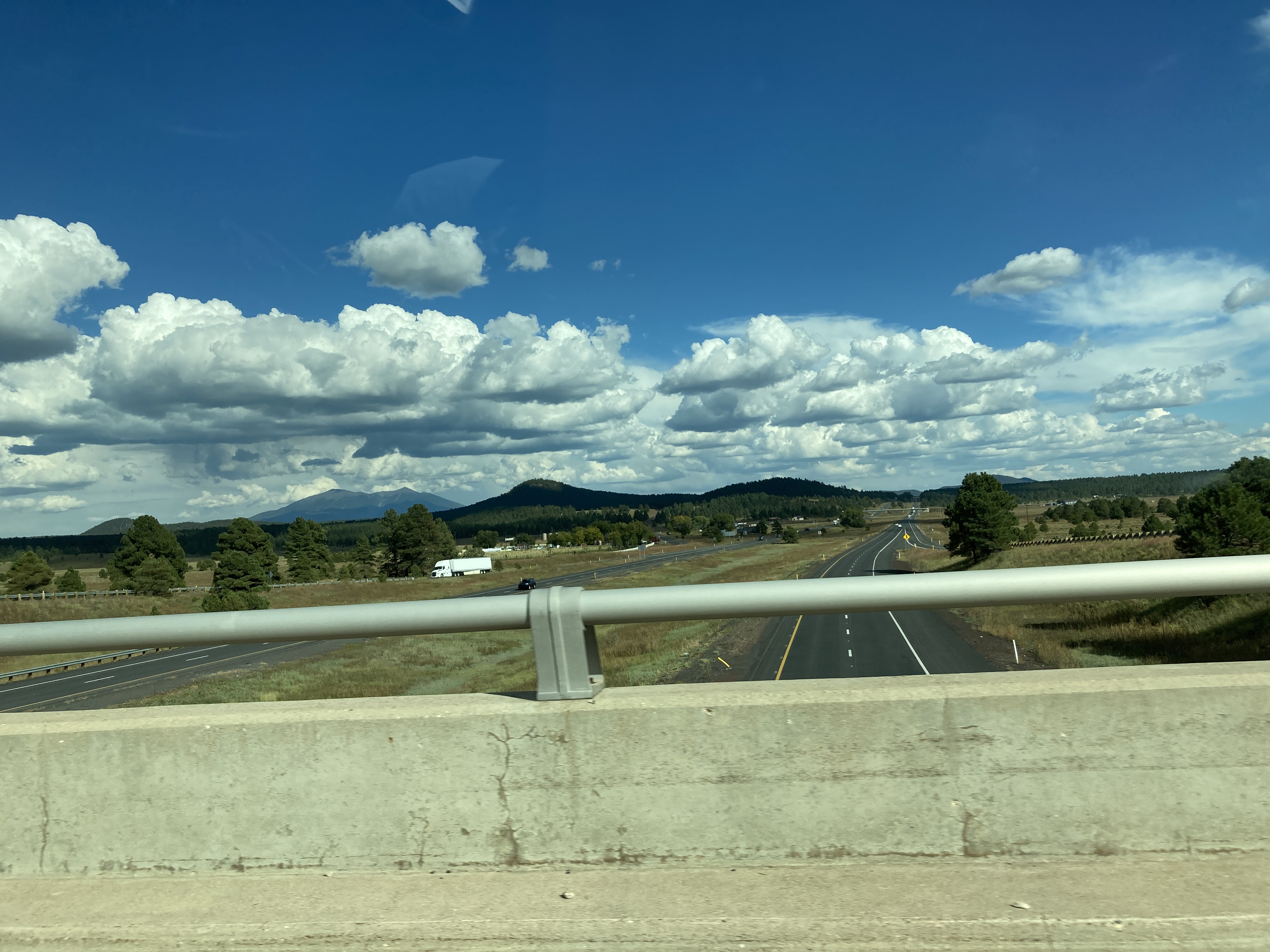
10/4/2021 - Interstate 40 East, east of Williams
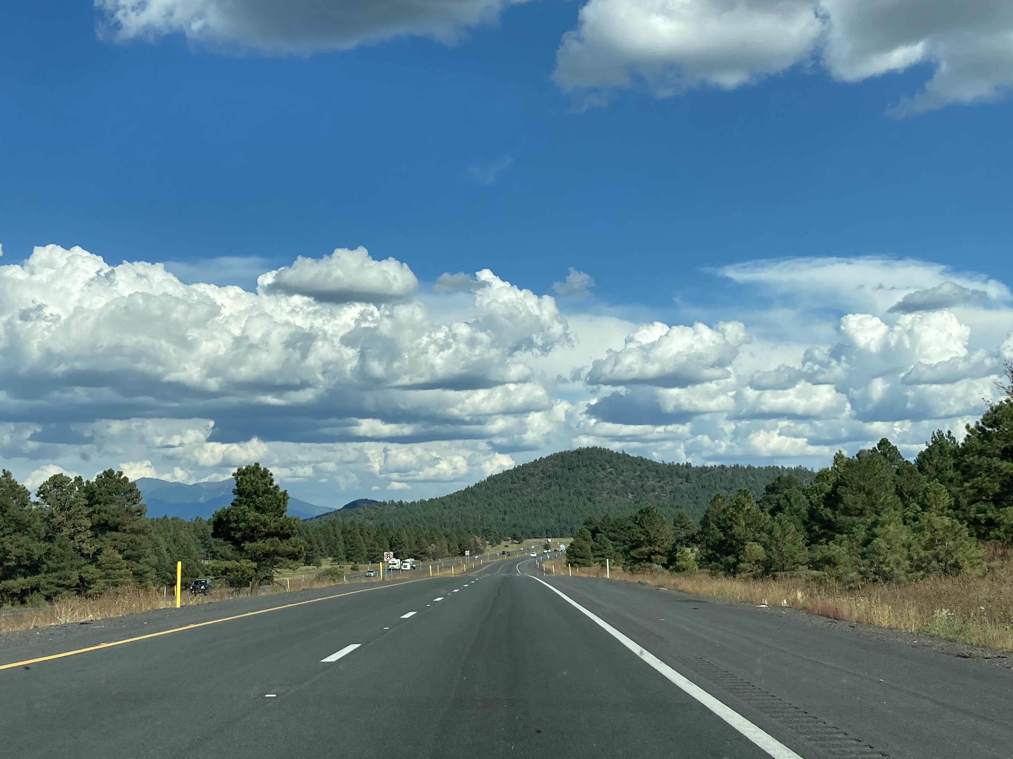
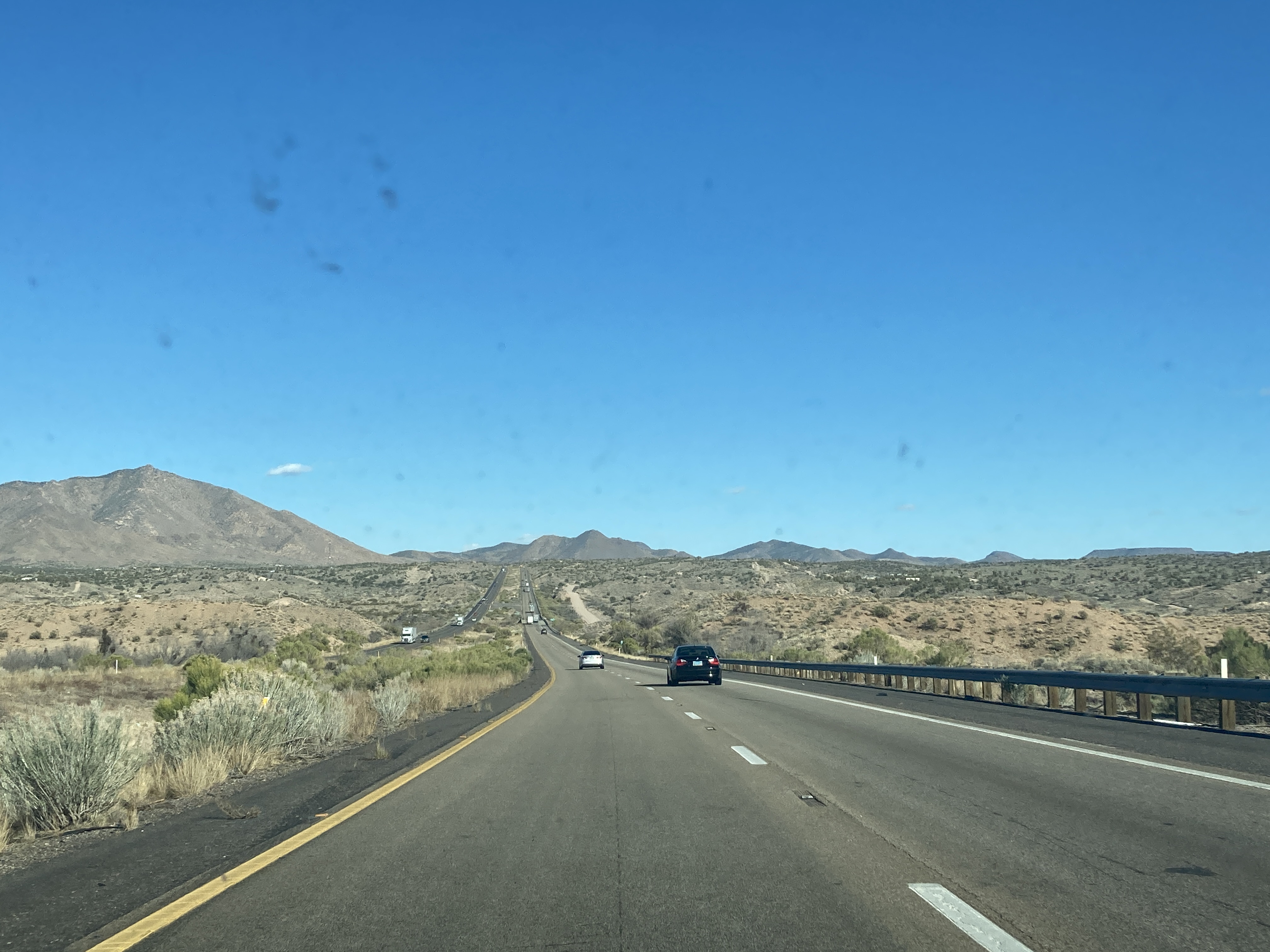
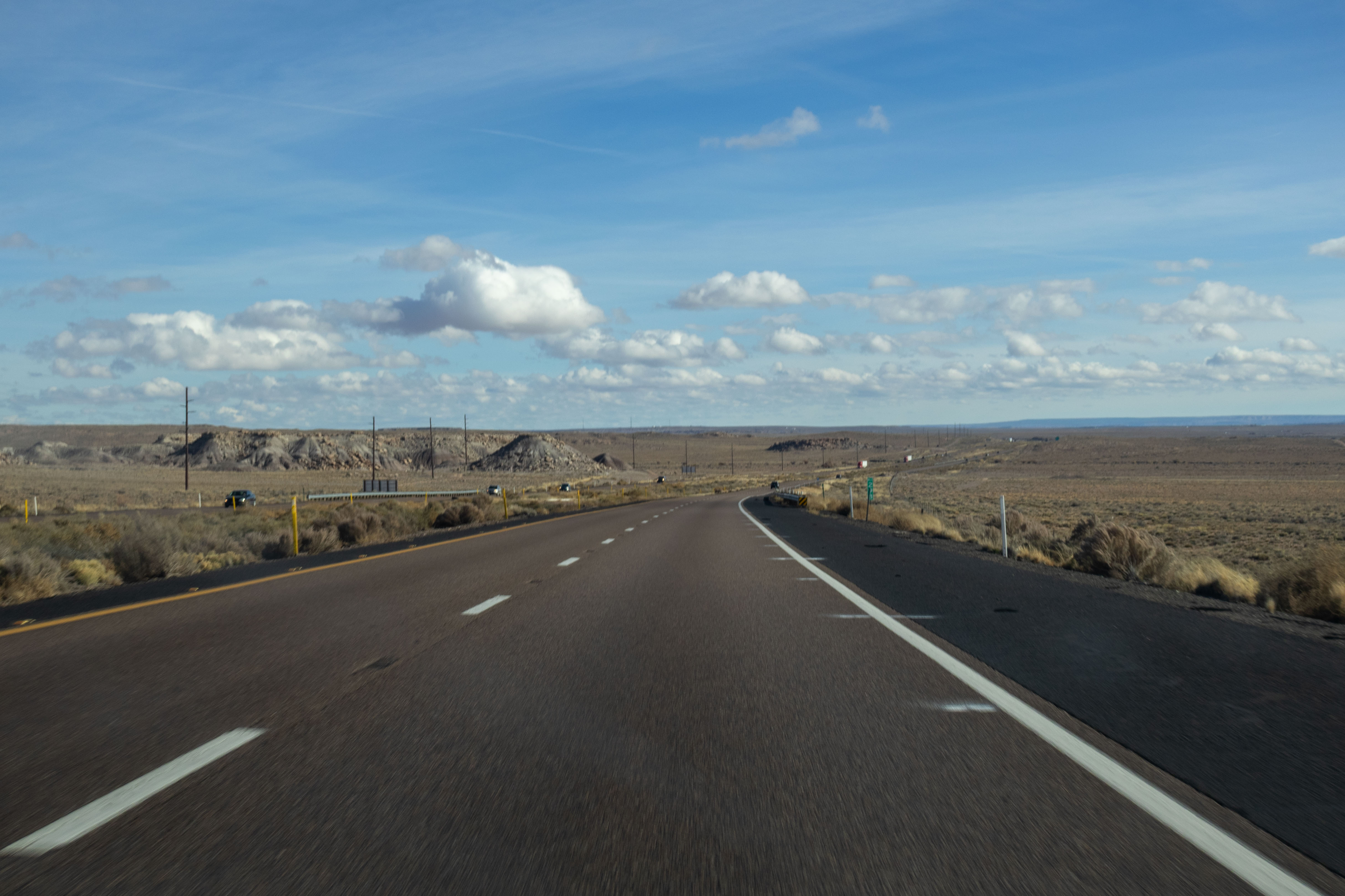
10/4/2021 - Pittman Valley Rd @ Interstate 40 - Parks
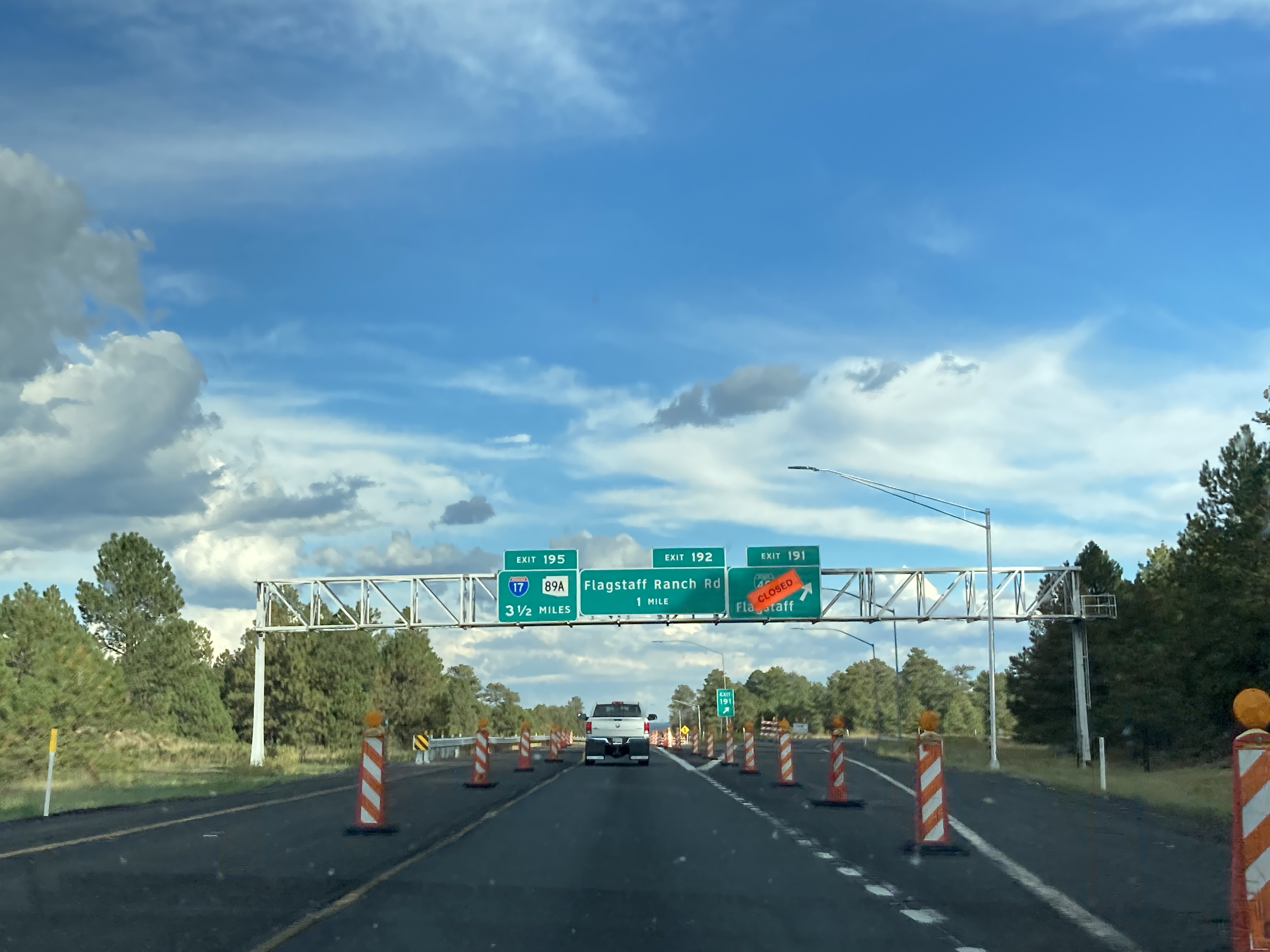
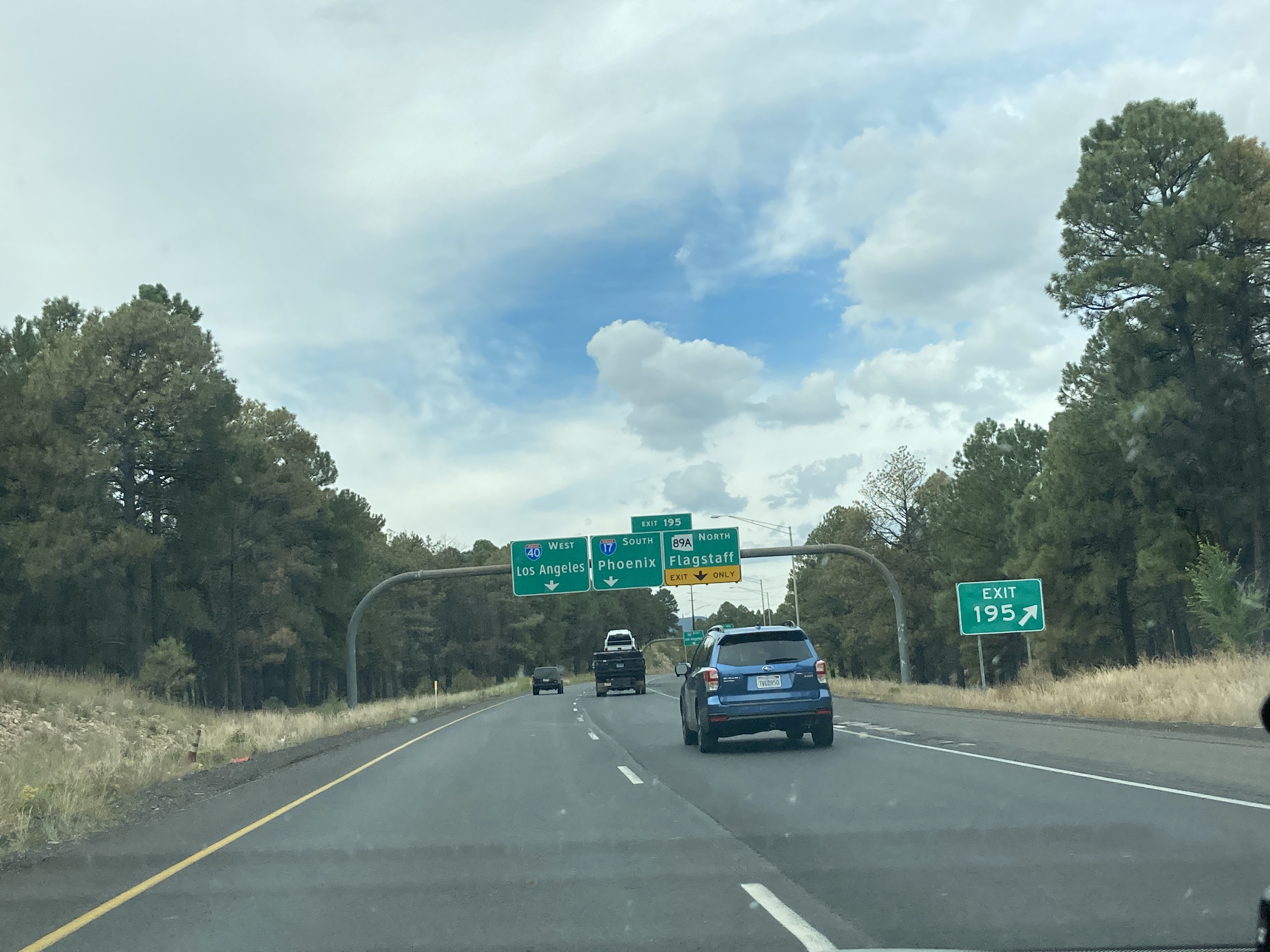
10/4/2021 - Interstate 40 East @ BL 40 - Flagstaff
3/6/2022 - Interstate 40 West, west of DW Ranch Rd
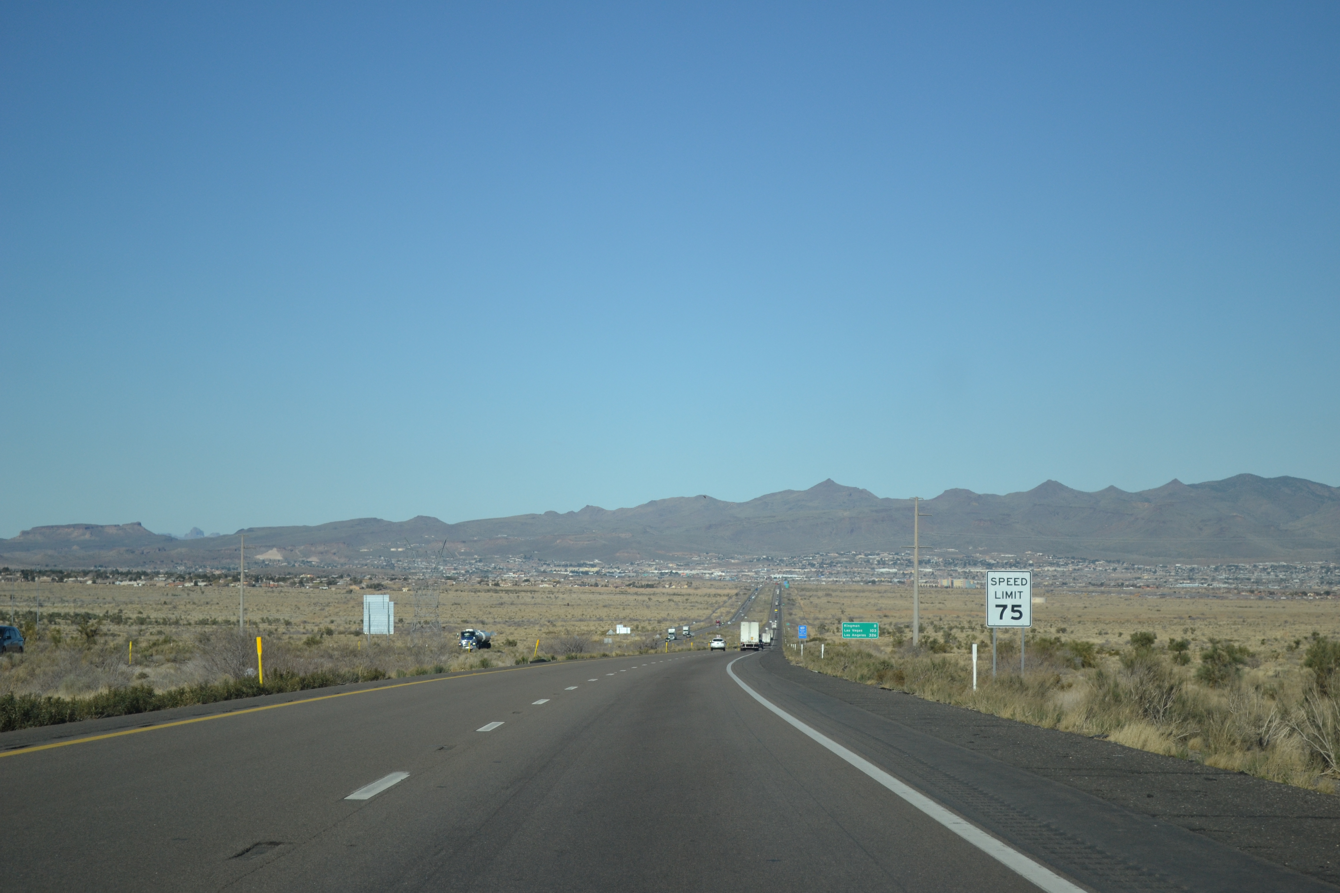
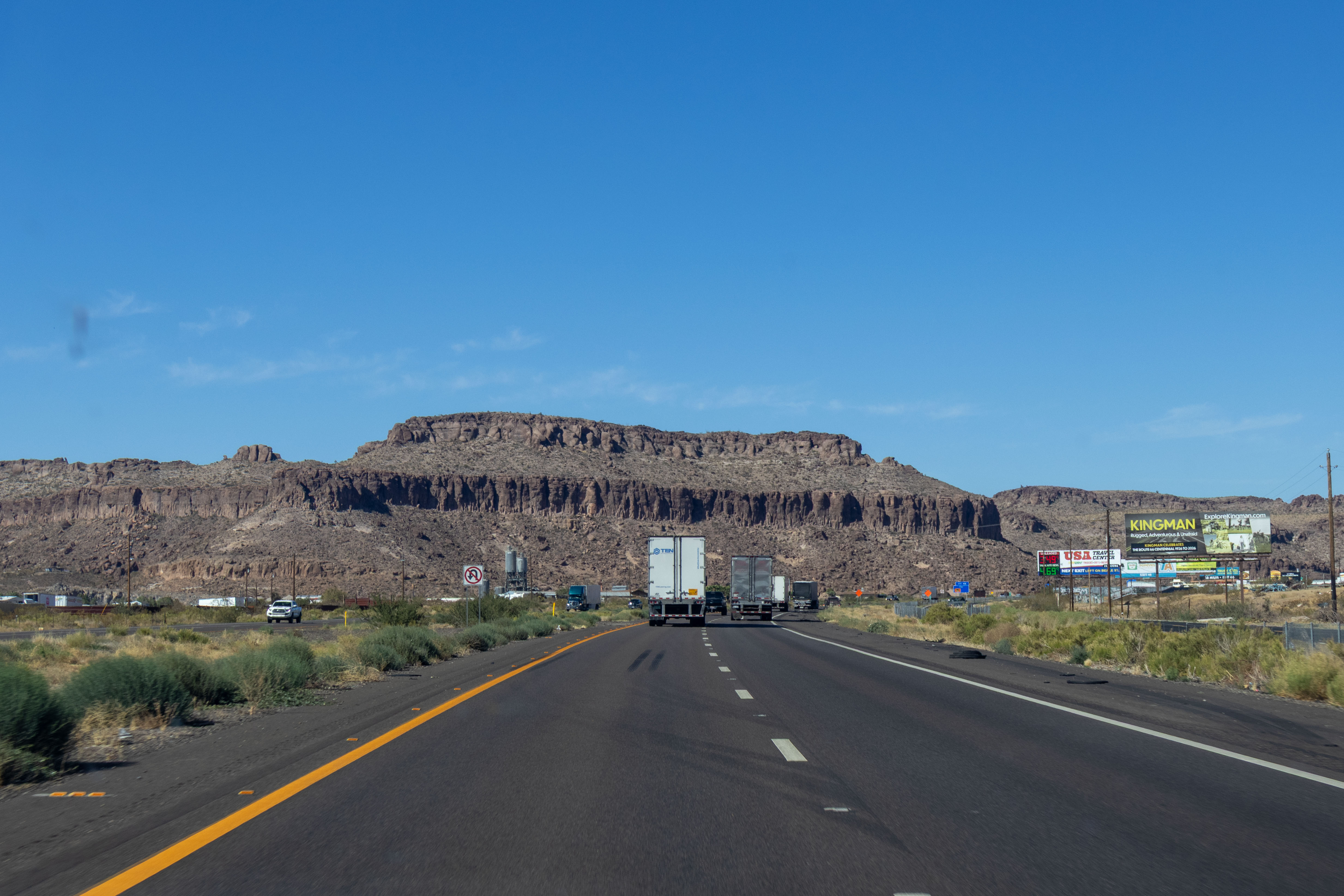
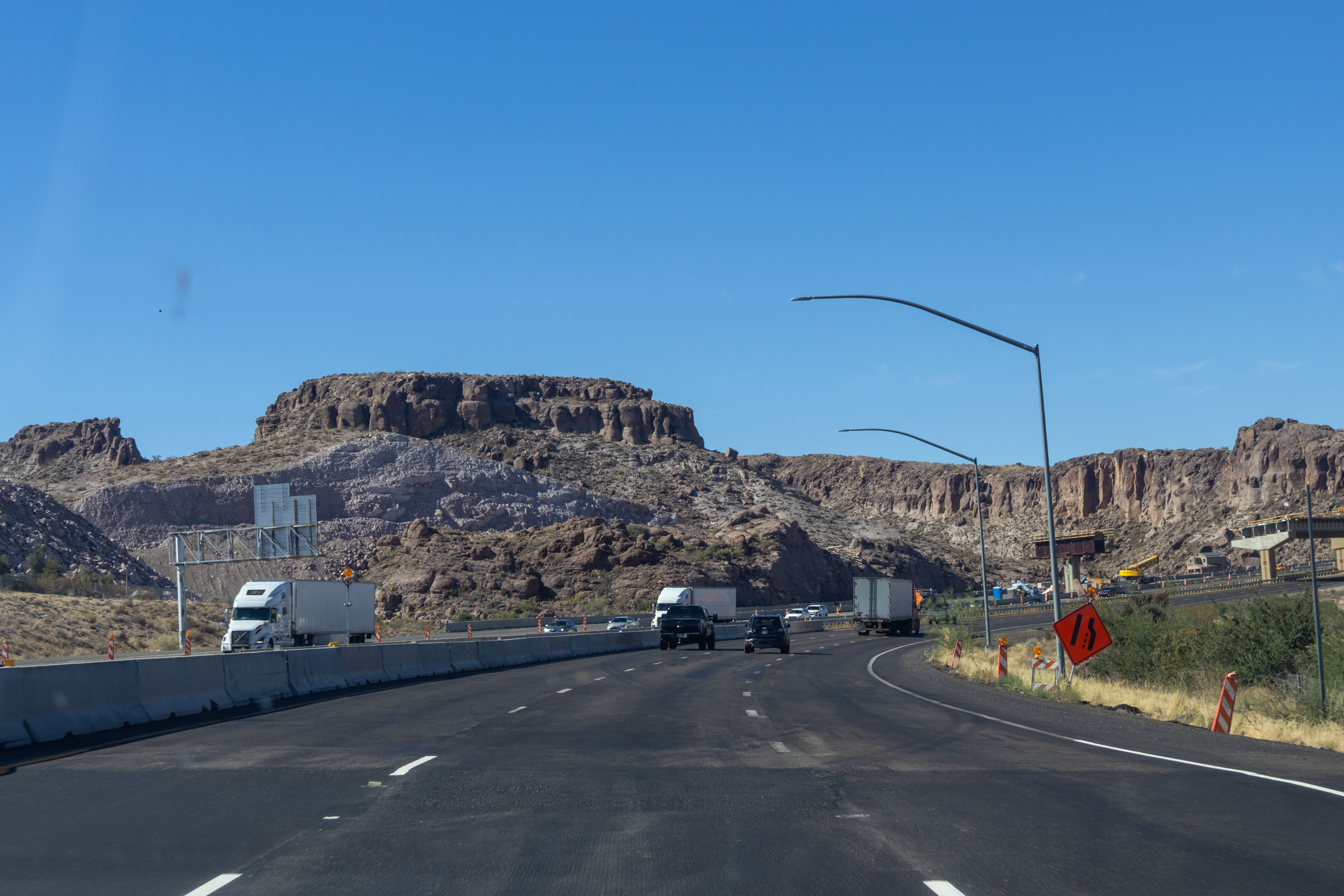
3/6/2022 - Interstate 40 West, north of US 93 - Kingman
3/9/2022 - Interstate 40 East, west of Mile 75
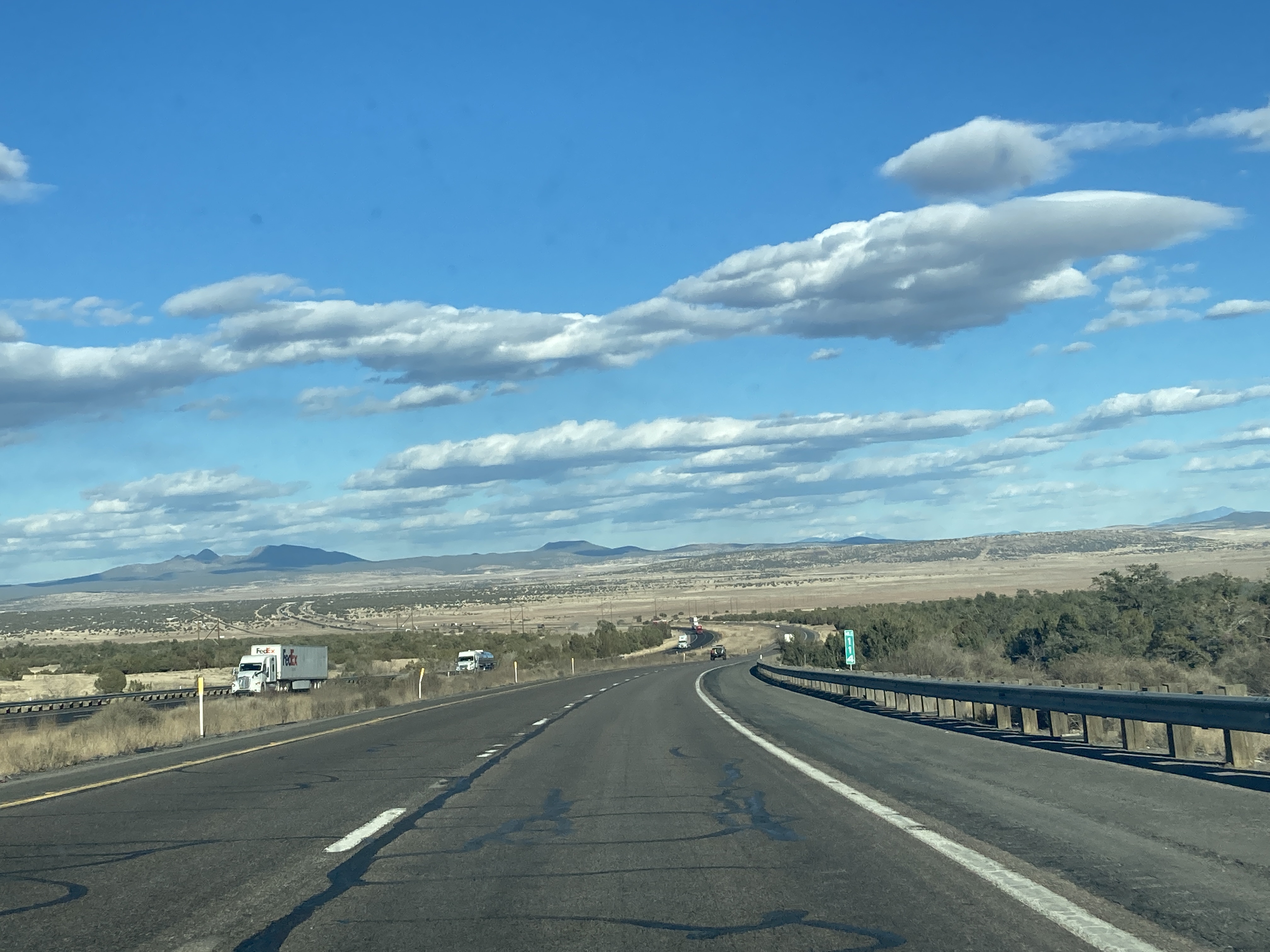
3/9/2022 - Interstate 40 East @ Mile 114
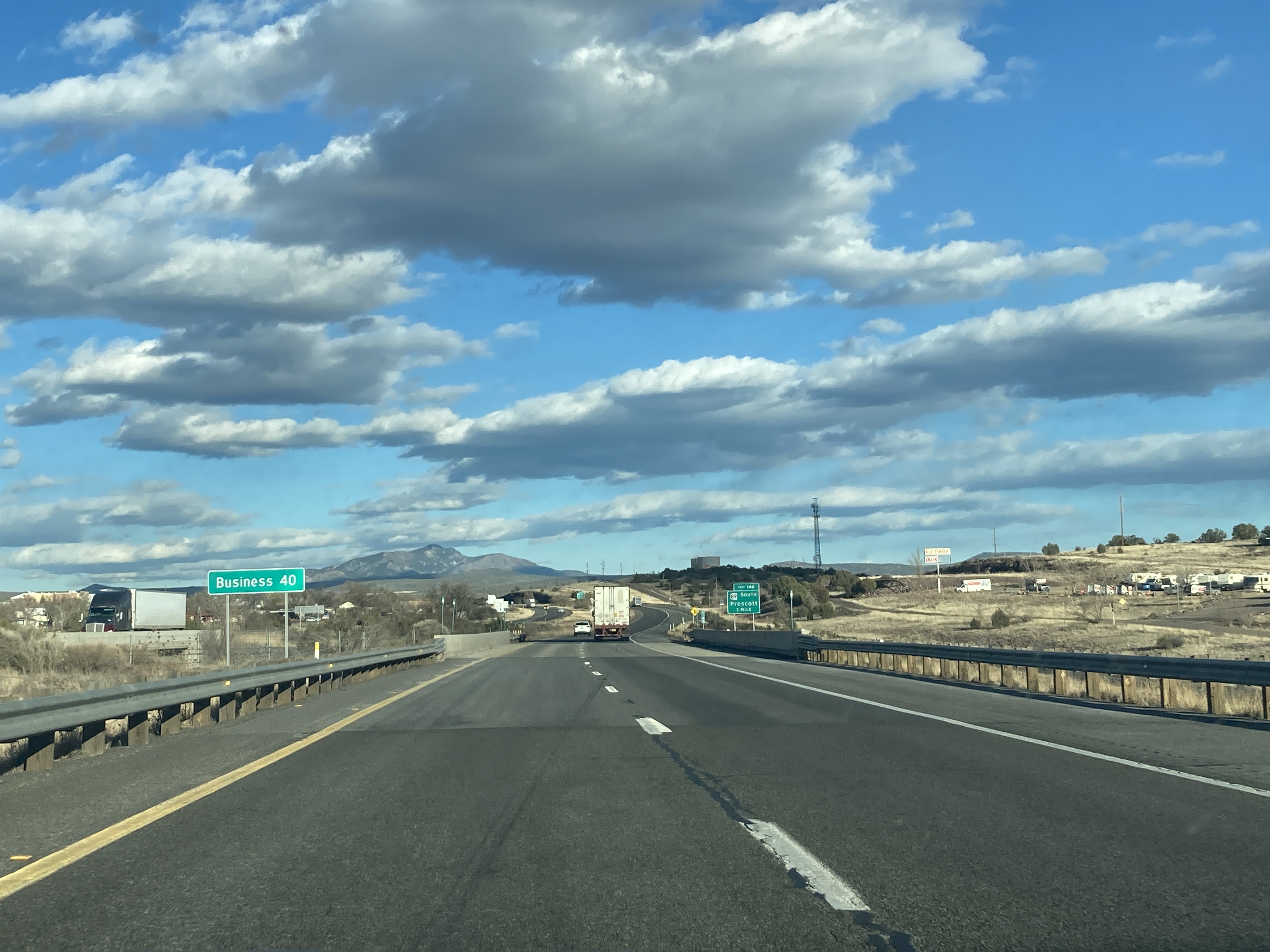
3/9/2022 - Interstate 40 East @ BL 40 - Ash Fork
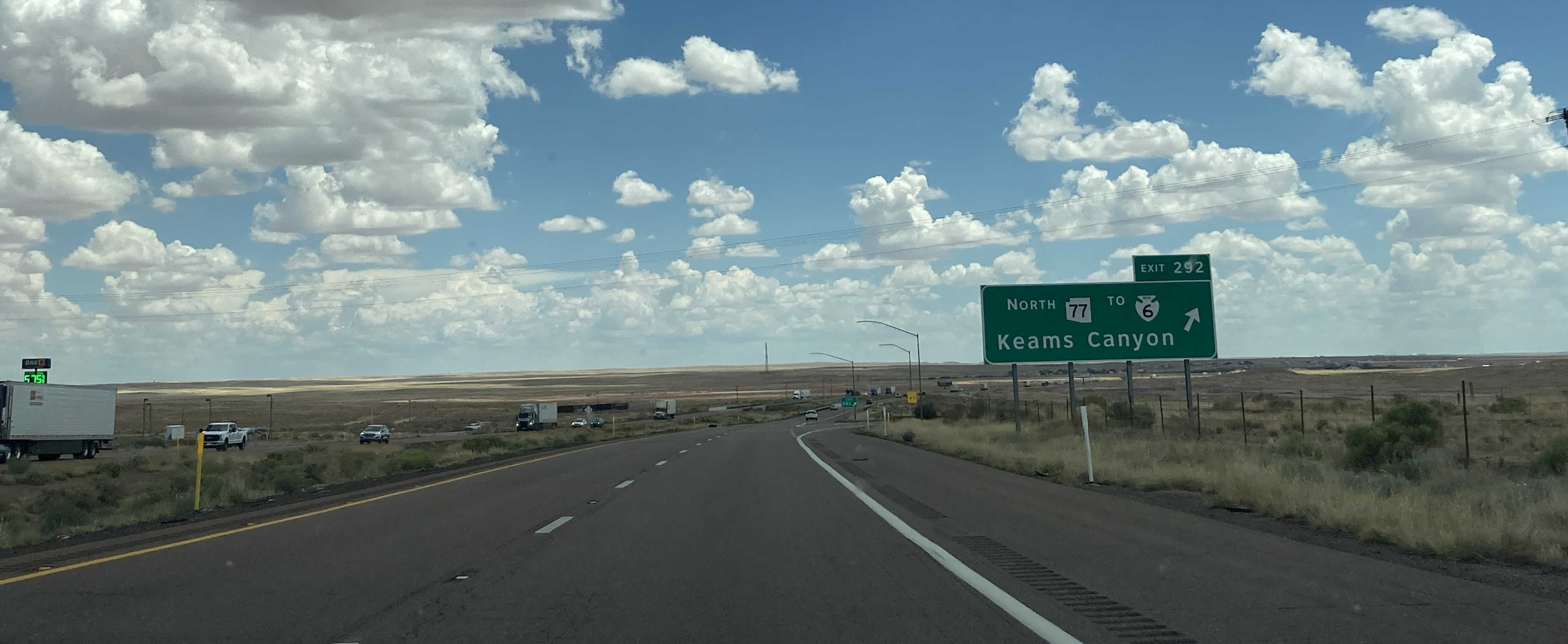
6/29/2022 - Interstate 40 East @ SR 77 North exit
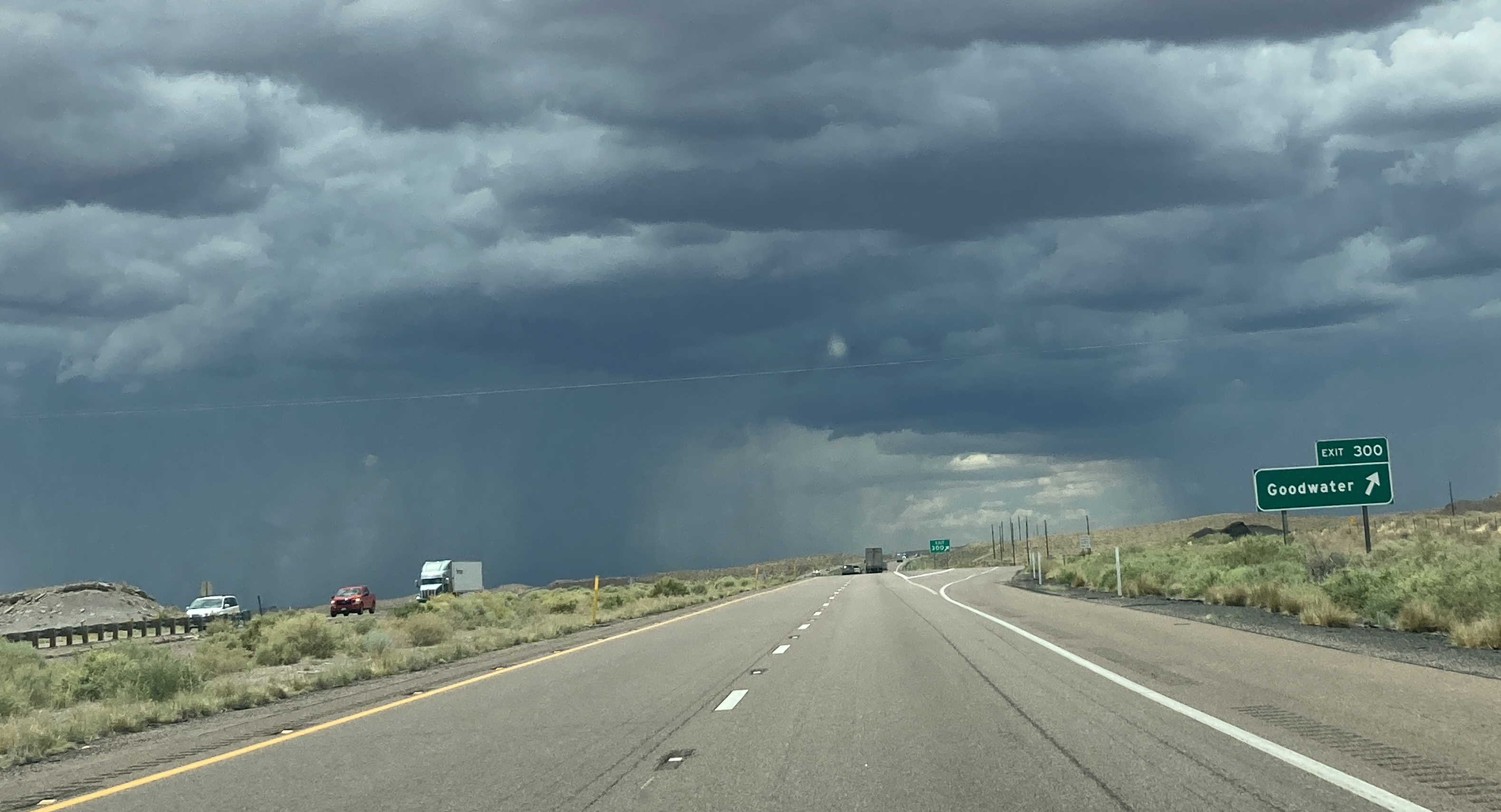
7/3/2022 - Interstate 40 West @ Exit 300 - Goodwater
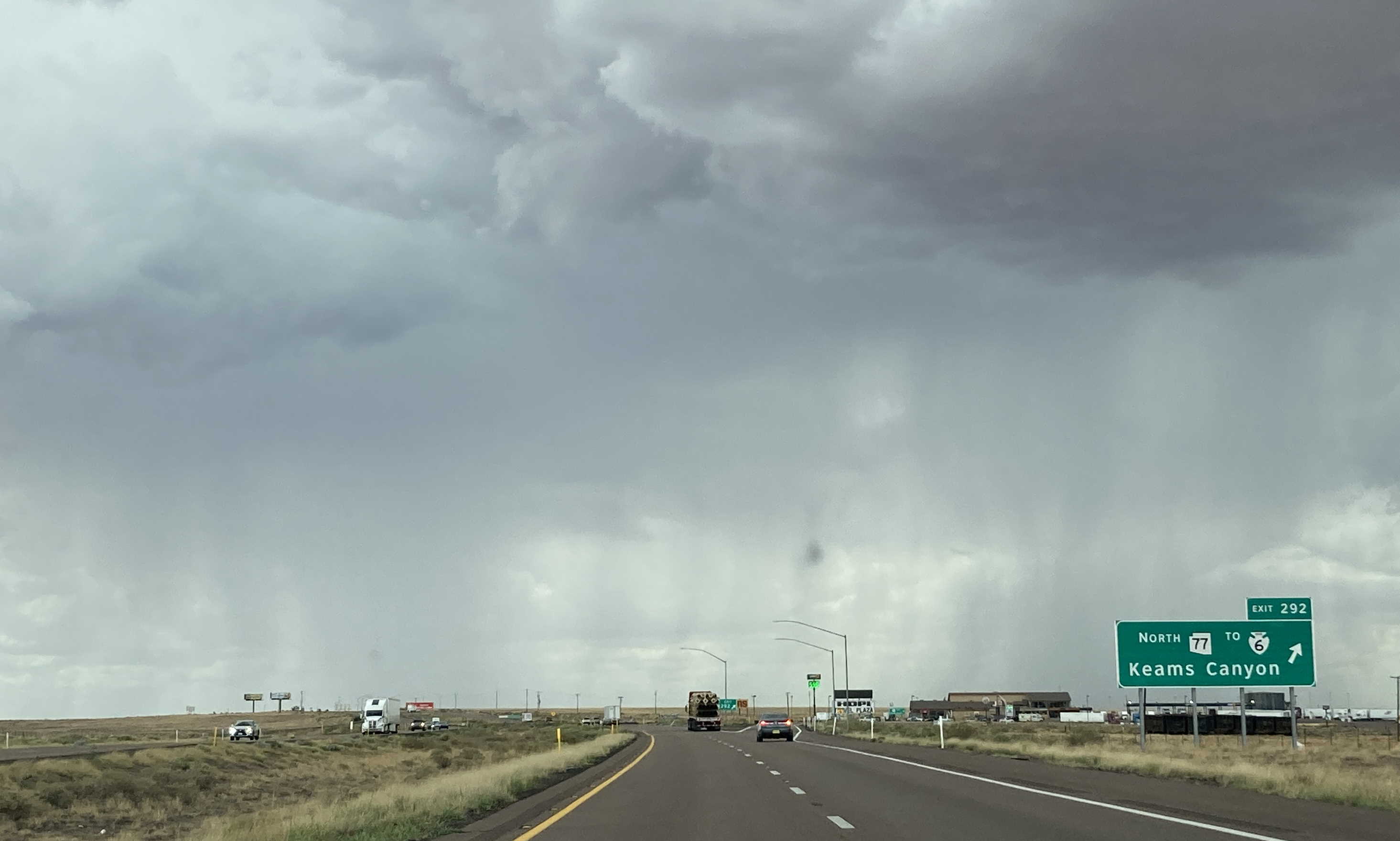
7/3/2022 - Interstate 40 West @ SR 77 North exit
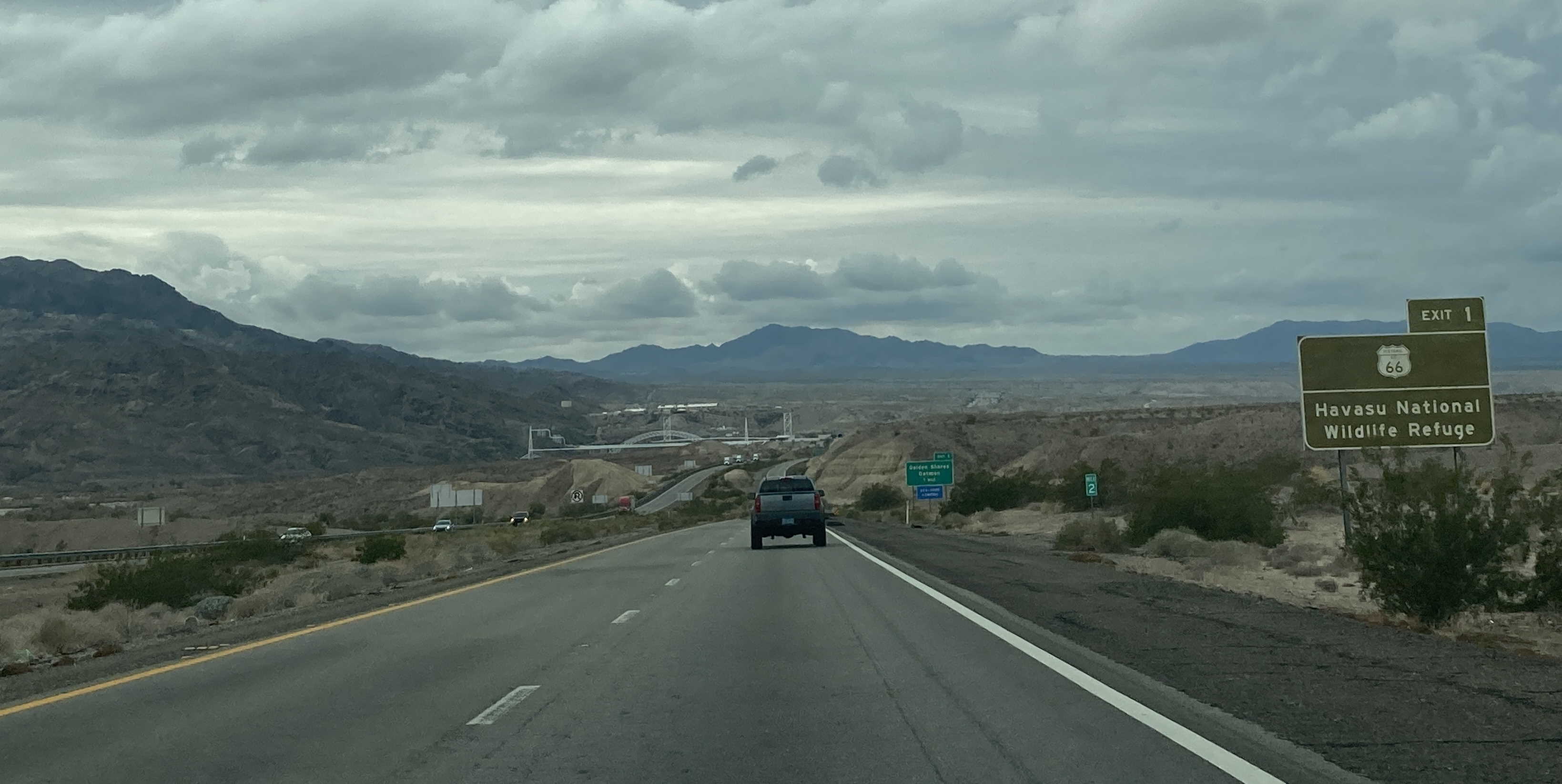
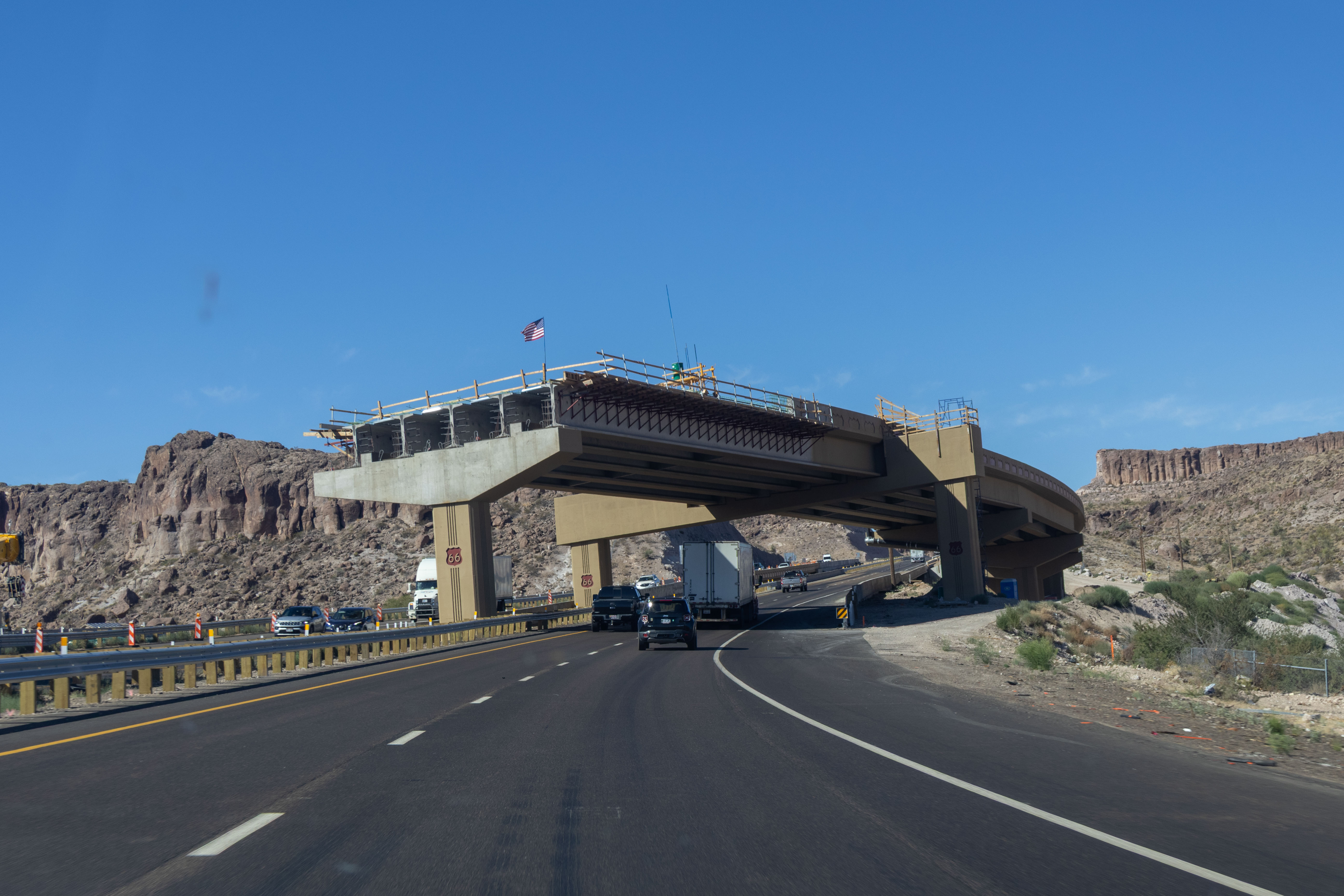
12/29/2022 - Interstate 40 West, east of Oatman Hwy
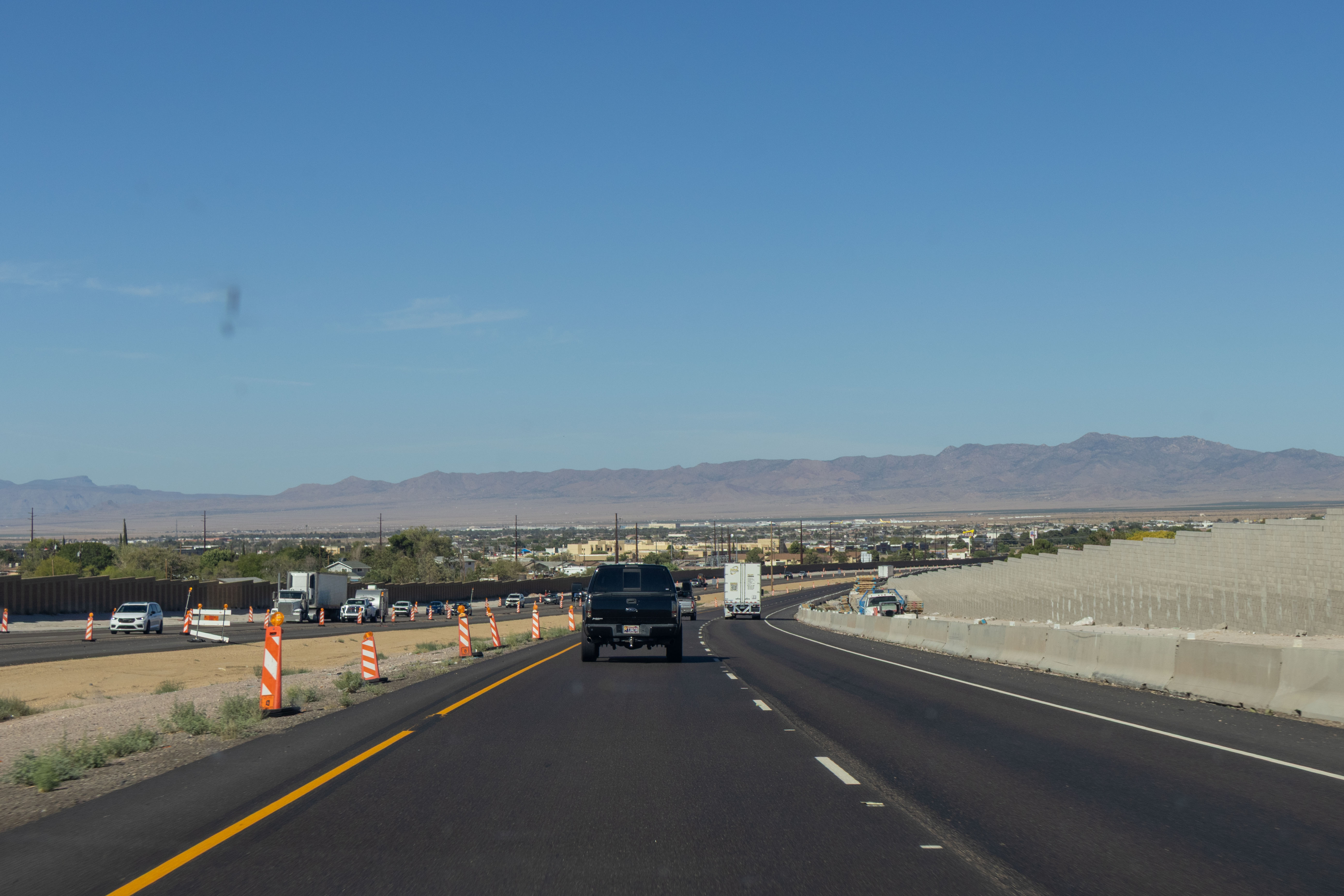
12/30/2022 - Interstate 40 West near Mile 22
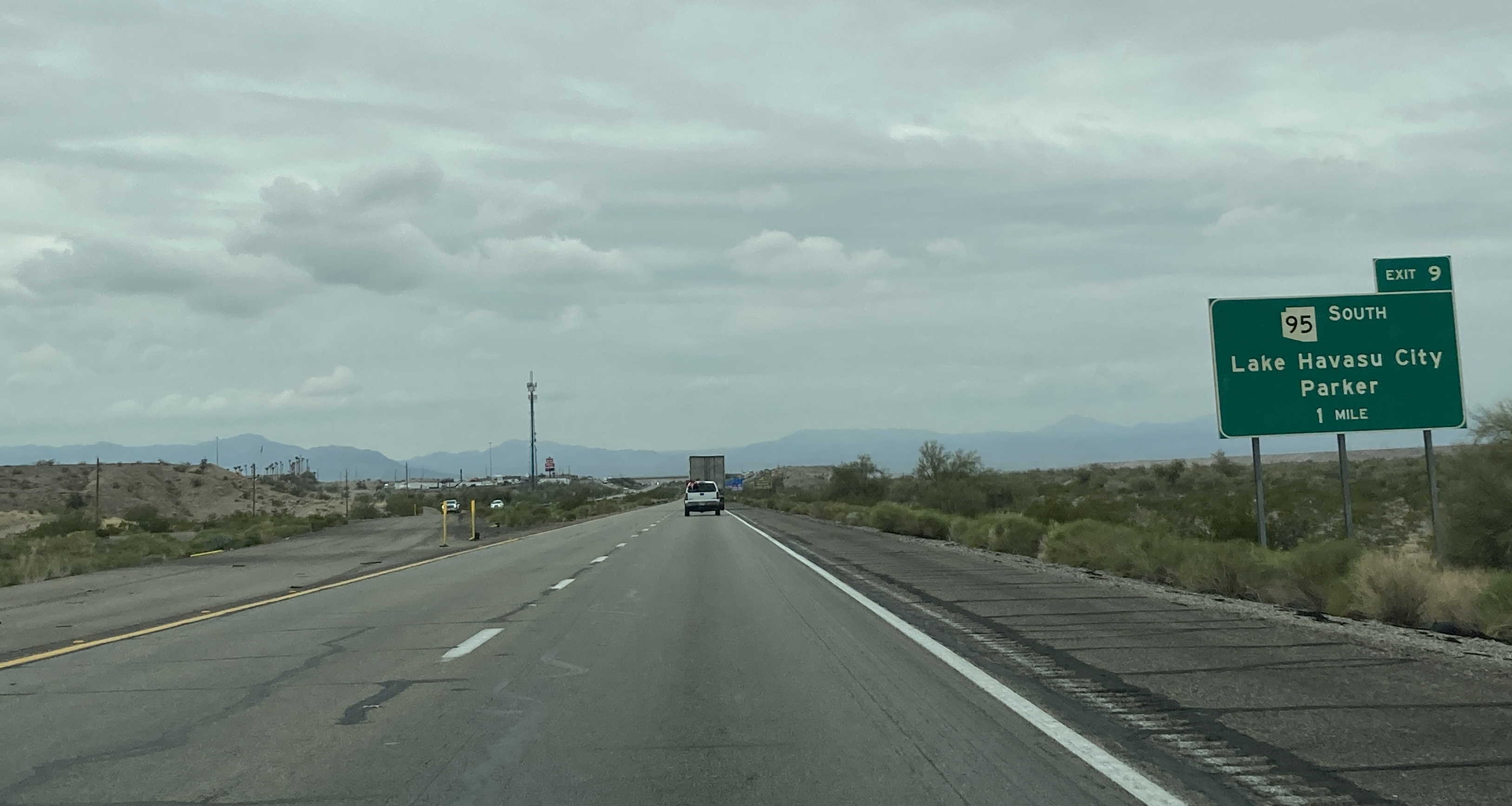
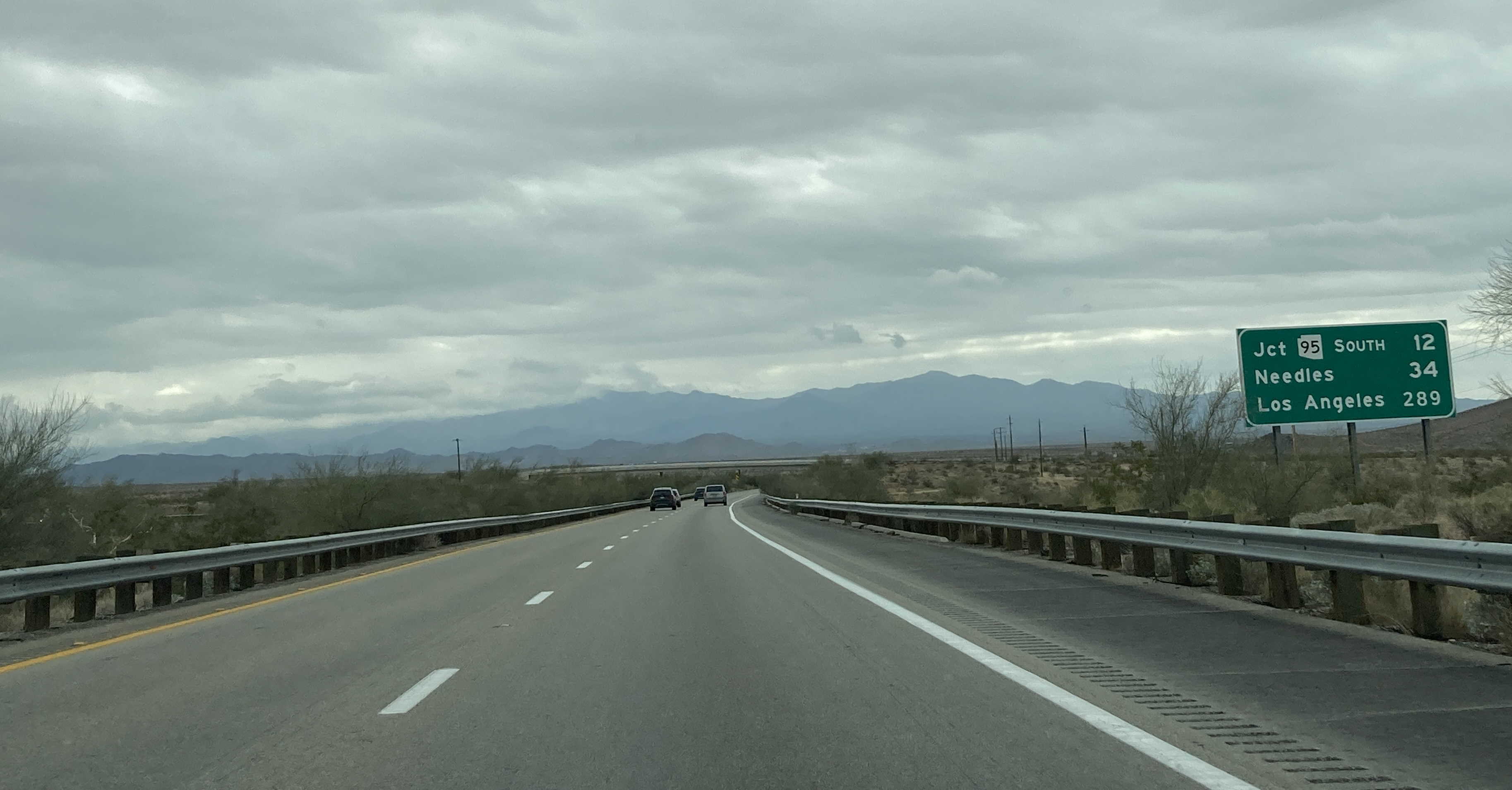
12/30/2022 - Interstate 40 West, east of SR 95
12/26/2025 - Interstate 40 East @ Mile 298 - Sun Valley
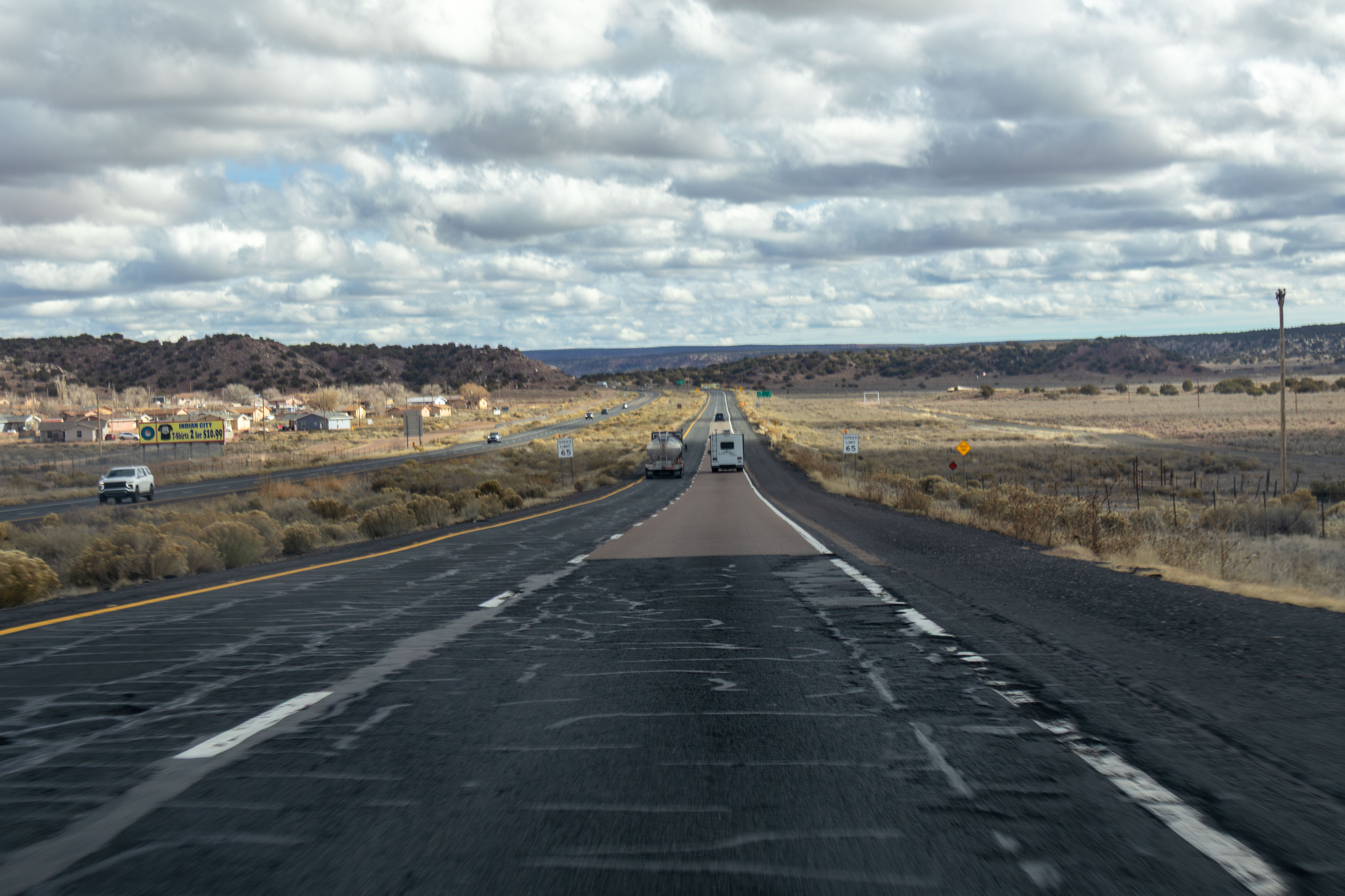
12/26/2025 - Interstate 40 East, east of St Anslem Rd - Houck
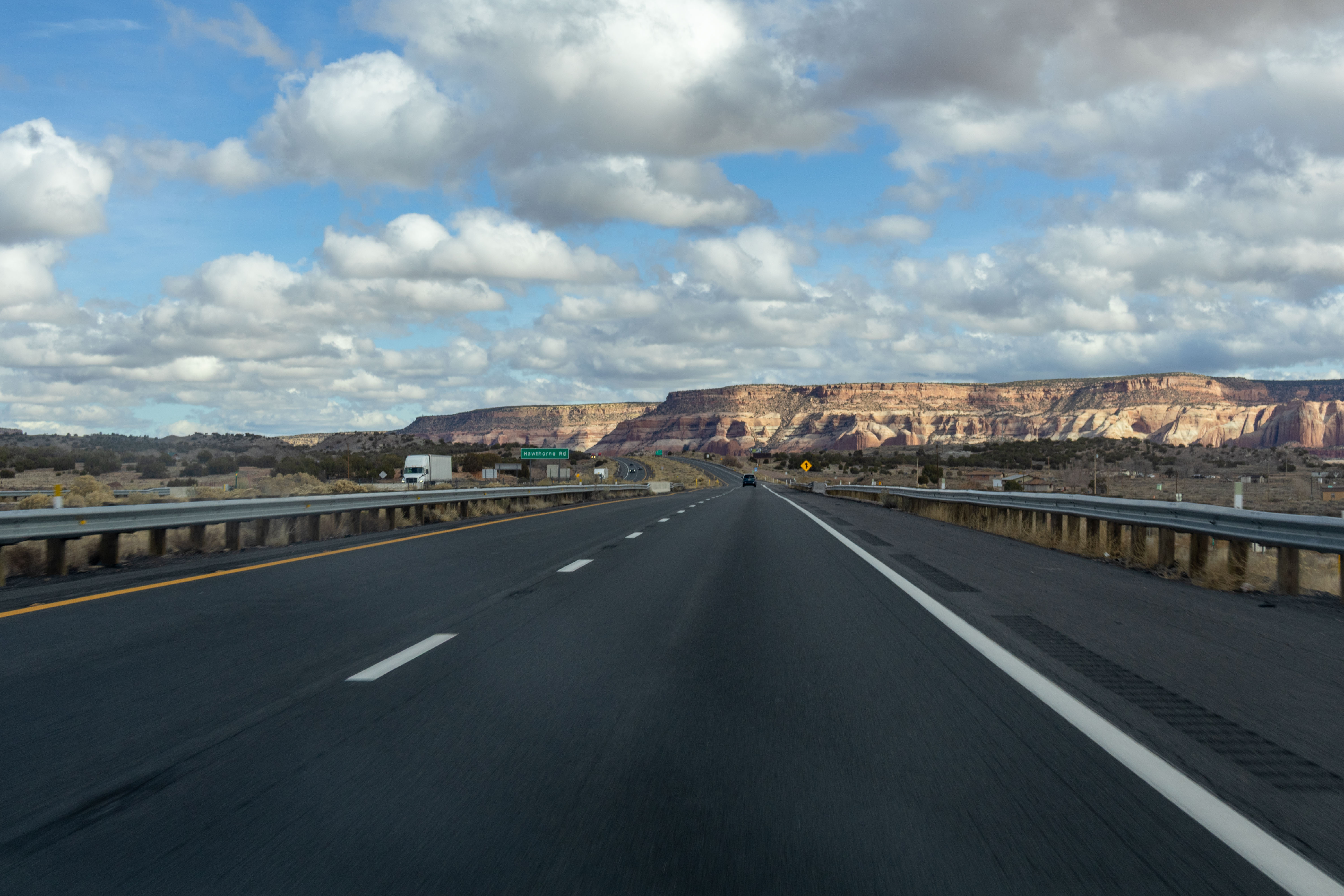
12/26/2025 - Interstate 40 East @ Hawthorne Rd
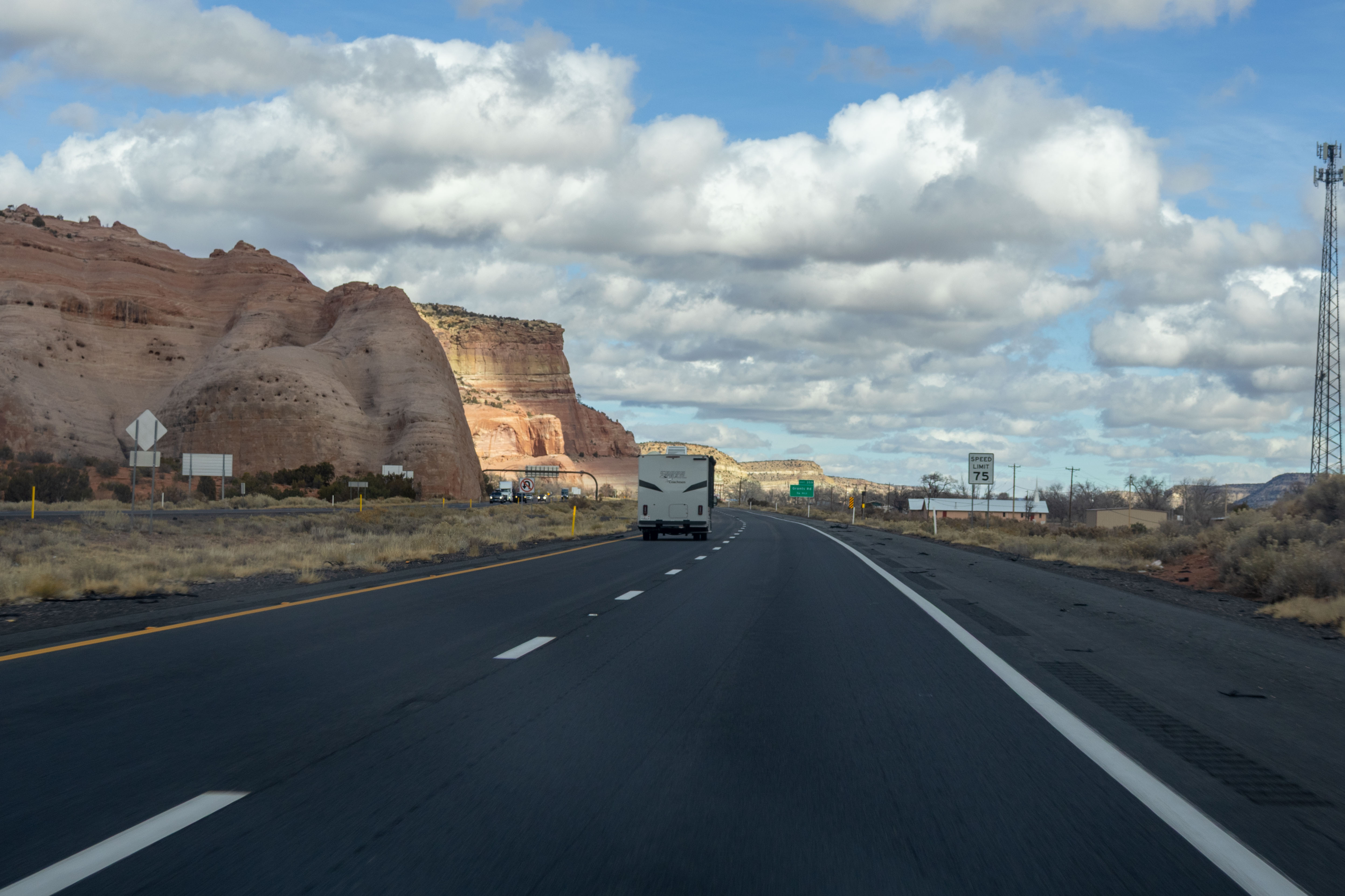
12/26/2025 - Interstate 40 East, west of Grants Rd - Lupton
7/3/2026 - Interstate 40 East, north of Shinarump Dr
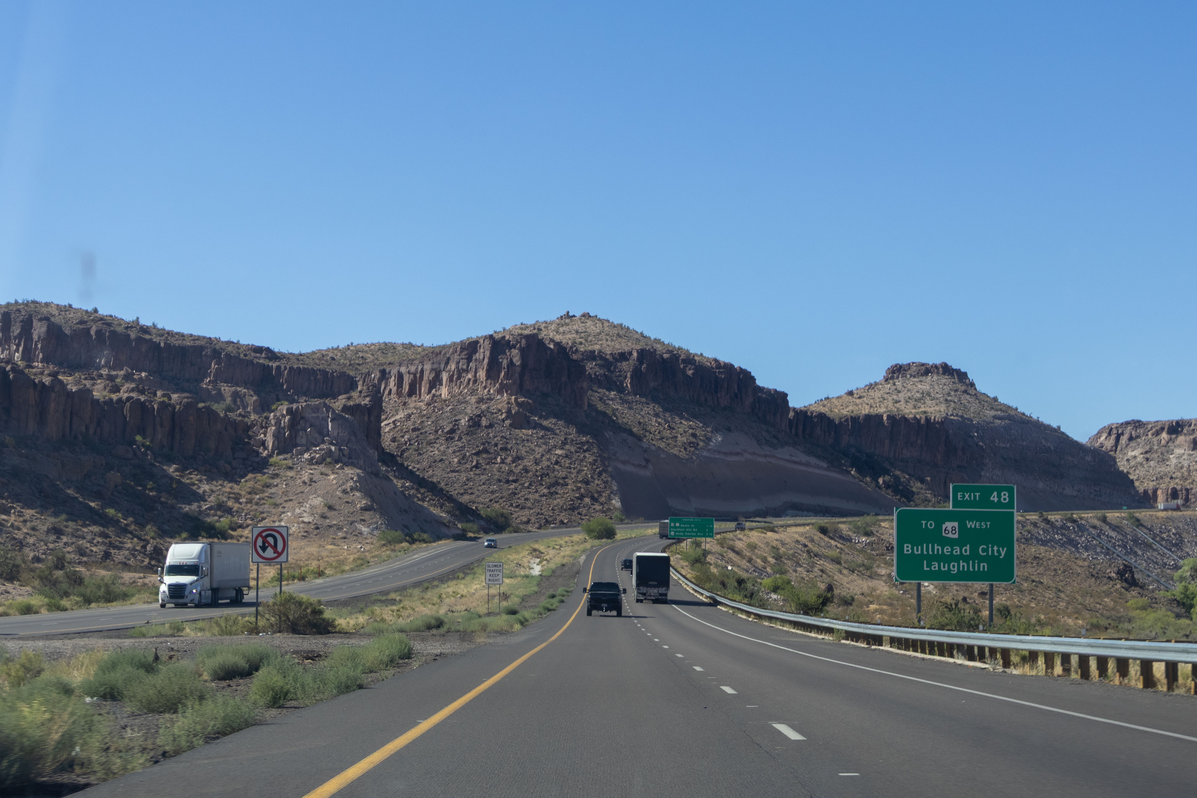
7/3/2026 - Interstate 40 East, south of US 93 (Beale St)
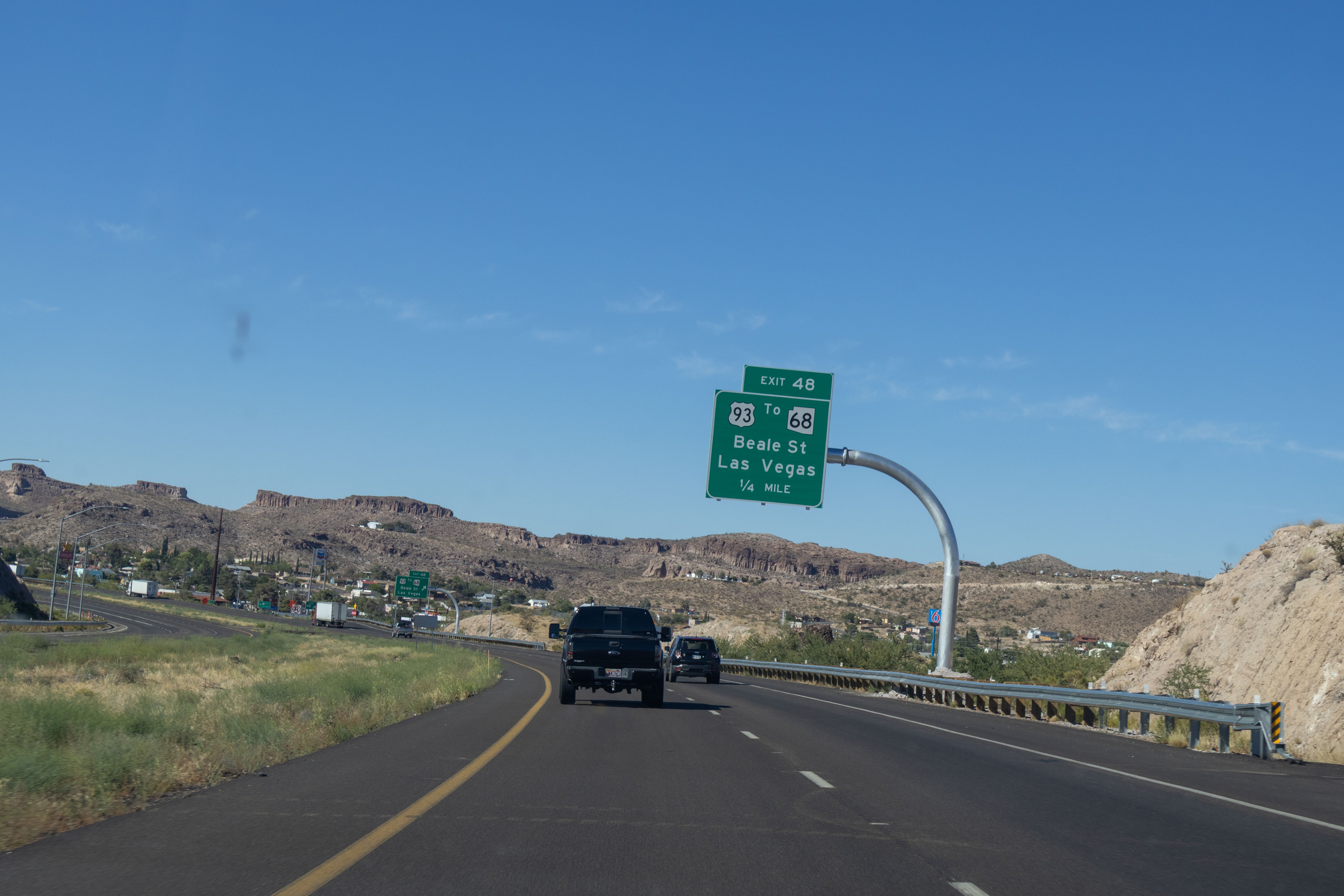
7/3/2026 - Interstate 40 East @ US 93 (Beale St) exit - Kingman
7/3/2026 - Interstate 40 East, north of US 93 (Beale St) - Kingman
7/3/2026 - Interstate 40 East, west of Clack Canyon Rd - Kingman
7/3/2026 - Interstate 40 East, east of White Cliff Rd - Kingman
Exit List
| Exit/ Mile | Eastbound Exits Read down | Westbound Exits Read up |
|---|---|---|
| 0 | California State Line Colorado River | |
| 1 | Golden Springs Oatman | Golden Springs Oatman Bullhead City |
Havasu National Wildlife Refuge | Havasu National Wildlife Refuge | |
| 2 | Needle Mountain Rd | Needle Mountain Rd |
| 3 | WEIGH STATION | WEIGH STATION |
| 9 | Lake Havasu City Parker | Lake Havasu City Parker |
| Lake Havasu State Park London Bridge | Lake Havasu State Park London Bridge | |
| 13 | Franconia Rd | Franconia Rd |
| 20 | Santa Fe Ranch Rd | Santa Fe Ranch Rd |
| 23 | Rest Area | Rest Area |
| 25 | Alamo Rd | Alamo Rd |
| 26 | Proving Ground Rd | Proving Ground Rd |
| 28 | Old Trails Rd | Old Trails Rd |
| 37 | Griffith Rd | Griffith Rd |
| 44 | Historic Route 66 Oatman Oatman Hwy | Historic Route 66 Oatman Oatman Hwy |
| 48 | Beale St Las Vegas Bullhead City Laughlin | Beale St Las Vegas Bullhead City Laughlin |
| TO Kingman Historic District | TO Kingman Historic District | |
| 51 | Stockton Hill Rd Mohave County Fairgrounds Mohave Comm College | Stockton Hill Rd Mohave County Fairgrounds Mohave Comm College |
| 53 | Andy Devine Ave Kingman Airport | Andy Devine Ave Kingman Airport |
Peach Springs | Peach Springs | |
| 59 | DW Ranch Rd | DW Ranch Rd |
| 66 | Blake Ranch Rd | Blake Ranch Rd |
| 71 | Wickenburg Phoenix | Wickenburg Phoenix |
| 79 | Silver Springs Rd | Silver Springs Rd |
| 87 | Willows Ranch Rd | Willows Ranch Rd |
| 91 | Fort Rock Rd | Fort Rock Rd |
| 93 | ENTERING Yavapai County | ENTERING Mohave County |
| 96 | Cross Mountain Rd | Cross Mountain Rd |
| 103 | Jolly Rd | Jolly Rd |
| 109 | Anvil Rock Rd | Anvil Rock Rd |
| 121 | Seligman | Seligman |
Seligman Historic District | ||
| 123 | Seligman | Seligman |
Seligman Historic District | ||
| 139 | Crookton Rd | Crookton Rd |
| 144 | Ash Fork | Ash Fork |
| 146 | Prescott | Ash Fork Prescott |
| 148 | ENTERING Coconino County | ENTERING Yavapai County |
| County Line Rd | County Line Rd | |
| 149 | Monte Carlo Rd | Monte Carlo Rd |
| 151 | Welch Rd | Welch Rd |
| 157 | Devil Dog Rd | Devil Dog Rd |
| 161 | Williams Grand Canyon Golf Course Dr | Williams Golf Course Dr |
| EXIT 50 MPH | EXIT 50 MPH | |
| 163 | Williams Grand Canyon Grand Canyon Blvd | Williams Grand Canyon Grand Canyon Blvd |
| EXIT 50 MPH | EXIT 50 MPH | |
| Grand Canyon Railway Depot | Grand Canyon Railway Depot | |
| 165 | Williams Grand Canyon | Williams Grand Canyon |
| EXIT 50 MPH | EXIT 50 MPH | |
Williams Historic District | ||
| 167 | Garland Prairie Rd Circle Pines Rd | Garland Prairie Rd Circle Pines Rd |
| EXIT 45 MPH | EXIT 45 MPH | |
| 171 | Pittman Valley Rd Deer Farm Rd | Pittman Valley Rd Deer Farm Rd |
| 178 | Parks Rd | Parks Rd |
| 185 | Hughes Ave Bellemont | Hughes Ave Bellemont |
| 190 | Arizona Divide ELEVATION 7335 | Arizona Divide ELEVATION 7335 |
| A-1 Mountain Rd | A-1 Mountain Rd | |
| 191 | Flagstaff TO Grand Canyon | |
Flagstaff Historic District | ||
| 192 | Flagstaff Ranch Rd | Flagstaff Ranch Rd |
| 195 | Phoenix Flagstaff Grand Canyon Northern Ariz Univ Sedona | Phoenix Flagstaff Sedona Grand Canyon Northern Ariz Univ |
| 198 | Butler Ave | Butler Ave |
| 201 | Page Country Club Dr | WEST NORTH WEST Flagstaff Page Country Club Dr |
| Grand Canyon | Grand Canyon | |
| 204 | Walnut Canyon Natl Monument | Walnut Canyon Natl Monument |
| 207 | Cosnino Rd | Cosnino Rd |
| NO TRUCKS OVER 13 TONS | NO TRUCKS OVER 13 TONS | |
| 211 | Winona | Winona |
| 219 | Twin Arrows | Twin Arrows |
| 225 | Buffalo Range Rd | Buffalo Range Rd |
| 230 | Two Guns | Two Guns |
| 233 | Meteor Crater Rd | Meteor Crater Rd |
| Meteor Crater Natural Landmark | Meteor Crater Natural Landmark | |
| 235 | Rest Area | |
| 236 | Rest Area | |
| 239 | Meteor City Rd | Meteor City Rd |
| 245 | Leupp | Leupp |
| 250 | ENTERING Navajo County | ENTERING Coconino County |
| 252 | Hipkoe Dr Payson | Hipkoe Dr |
| 253 | North Park Dr | North Park Dr |
| 255 | Transcon Ln Northland Pioneer College | Transcon Ln Northland Pioneer College |
| 257 | Second Mesa | Payson Second Mesa |
| Homolovi Ruins State Park | Homolovi Ruins State Park | |
| 264 | Hibbard Rd | Hibbard Rd |
| 269 | Jackrabbit Rd | Jackrabbit Rd |
| 274 | Joseph City | Joseph City |
| 277 | Joseph City | Joseph City |
| 280 | Hunt Rd Geronimo Rd | Hunt Rd Geronimo Rd |
| 283 | Perkins Valley Rd | Perkins Valley Rd |
| 285 | Petrified Forest Natl Park Show Low Hopi Dr Navajo Co Fairgrounds | Hopi Dr Navajo Co Fairgrounds |
| 286 | Navajo Blvd Northland Pioneer College | SOUTH EAST Show Low Heber Northland Pioneer College |
| 289 | WEST | Navajo Blvd |
| 292 | NORTH Keams Canyon | NORTH Keams Canyon |
| 294 | Sun Valley Rd | Sun Valley Rd |
| 300 | Goodwater | Goodwater |
| 303 | Adamana Rd | Adamana Rd |
| 307 | ENTERING Apache County | ENTERING Navajo County |
| 311 | Petrified Forest National Park | Petrified Forest National Park |
| 320 | Pinta Rd | Pinta Rd |
| 325 | Navajo | Navajo |
| 330 | McCarrell Rd | McCarrell Rd |
| 333 | Ganado Chambers | Ganado Chambers |
| Hubbell Trading Post National Historic Site | Hubbell Trading Post National Historic Site | |
| 339 | St Johns Sanders | St Johns Sanders |
| 340 | WEIGH STATION | WEIGH STATION |
| 341 | Ortega Rd | Ortega Rd |
| 343 | Querino Rd | Querino Rd |
| 346 | Pine Springs Rd | Pine Springs Rd |
| 348 | Houck | Houck |
| 351 | Allentown Rd | Allentown Rd |
| 354 | Hawthorne Rd | Hawthorne Rd |
| 357 | Window Rock | Window Rock |
| 359 | Grants Rd | Grants Rd |
| Rest Area | ||
| New Mexico State Line | ||
Page last updated: 7/5/2026