This page is for showing off button copy signs that I've found not just in Arizona, but anywhere! Images are sorted by the route the sign is located on. You can click on any image to get a bigger view. If you have a button copy sign that you want to submit, fill out the contact form or send an email to [email protected].
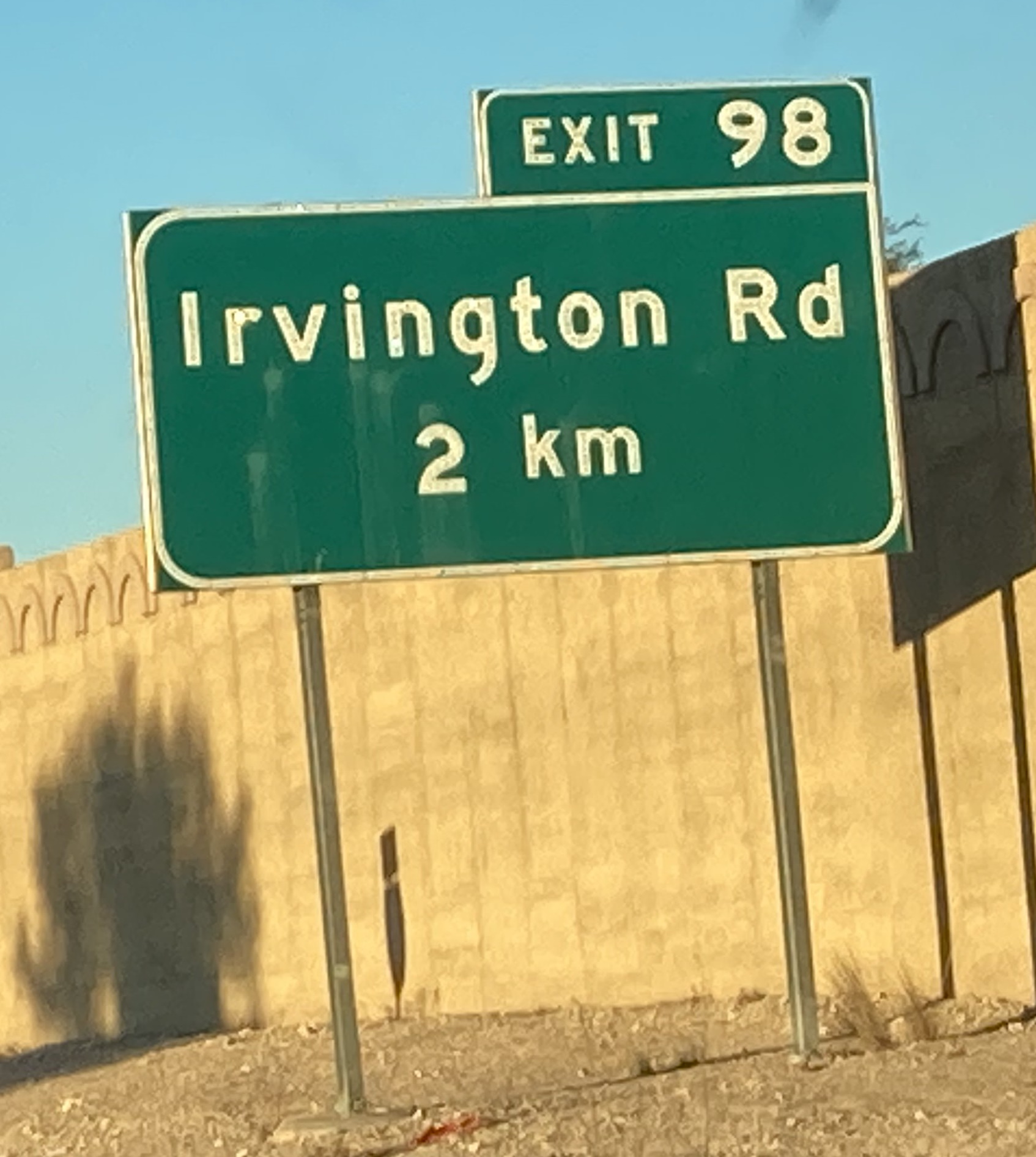
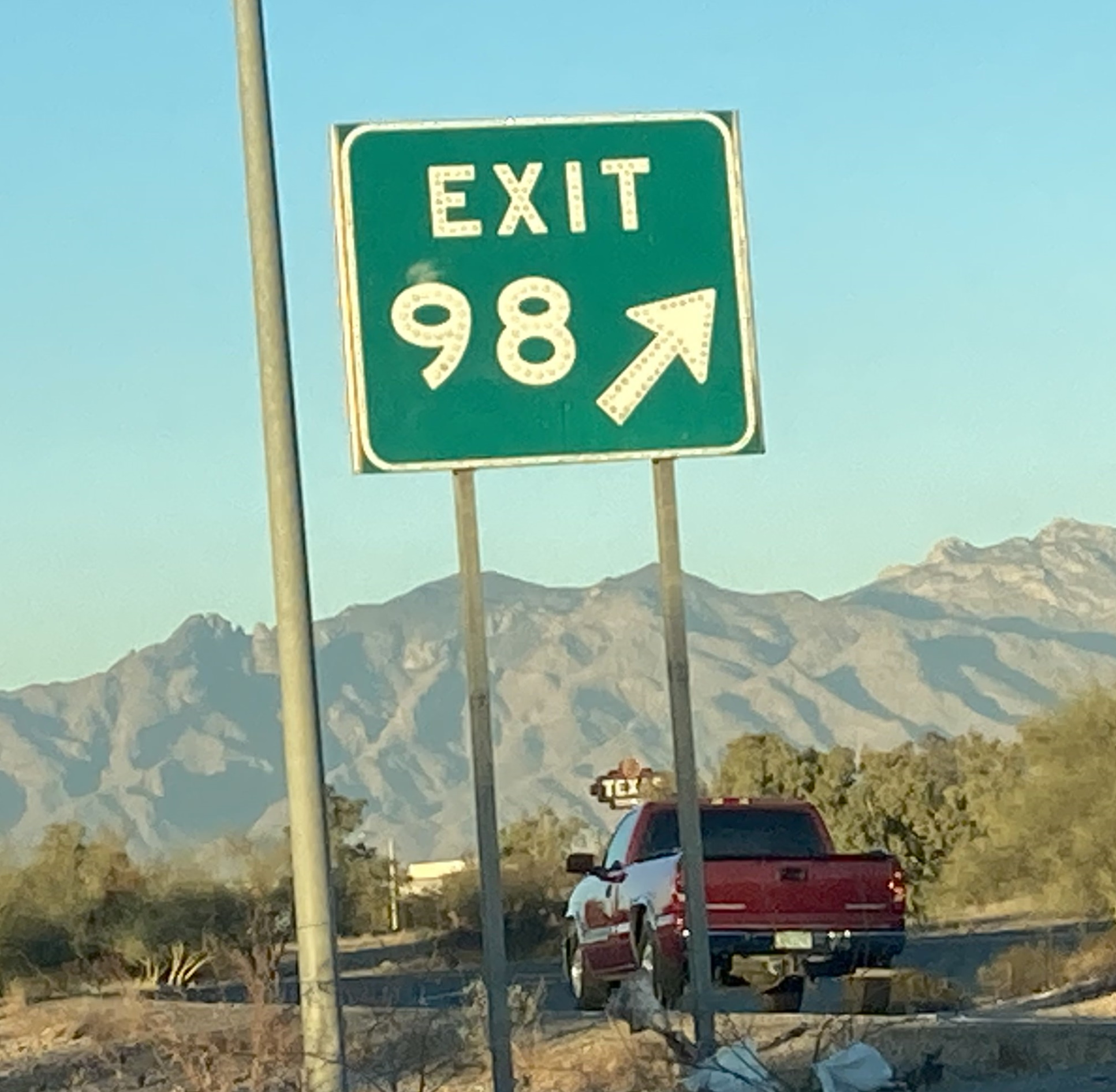
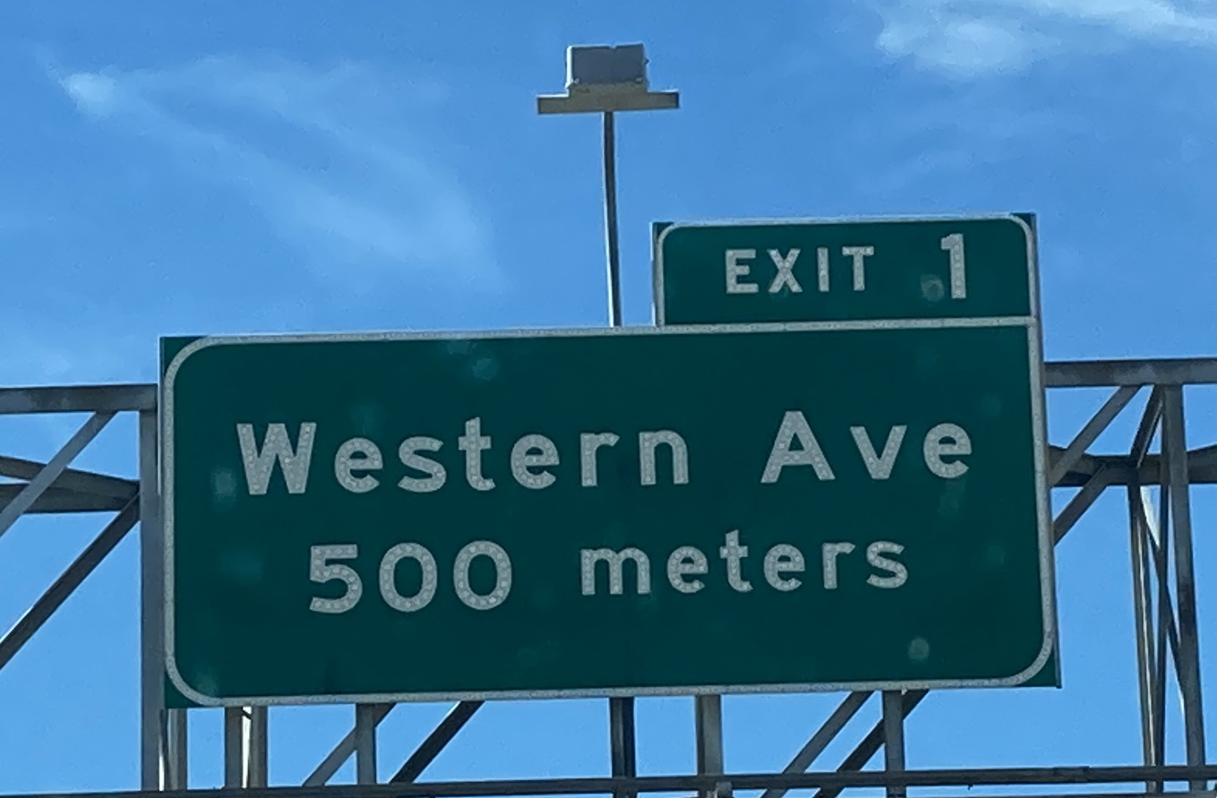
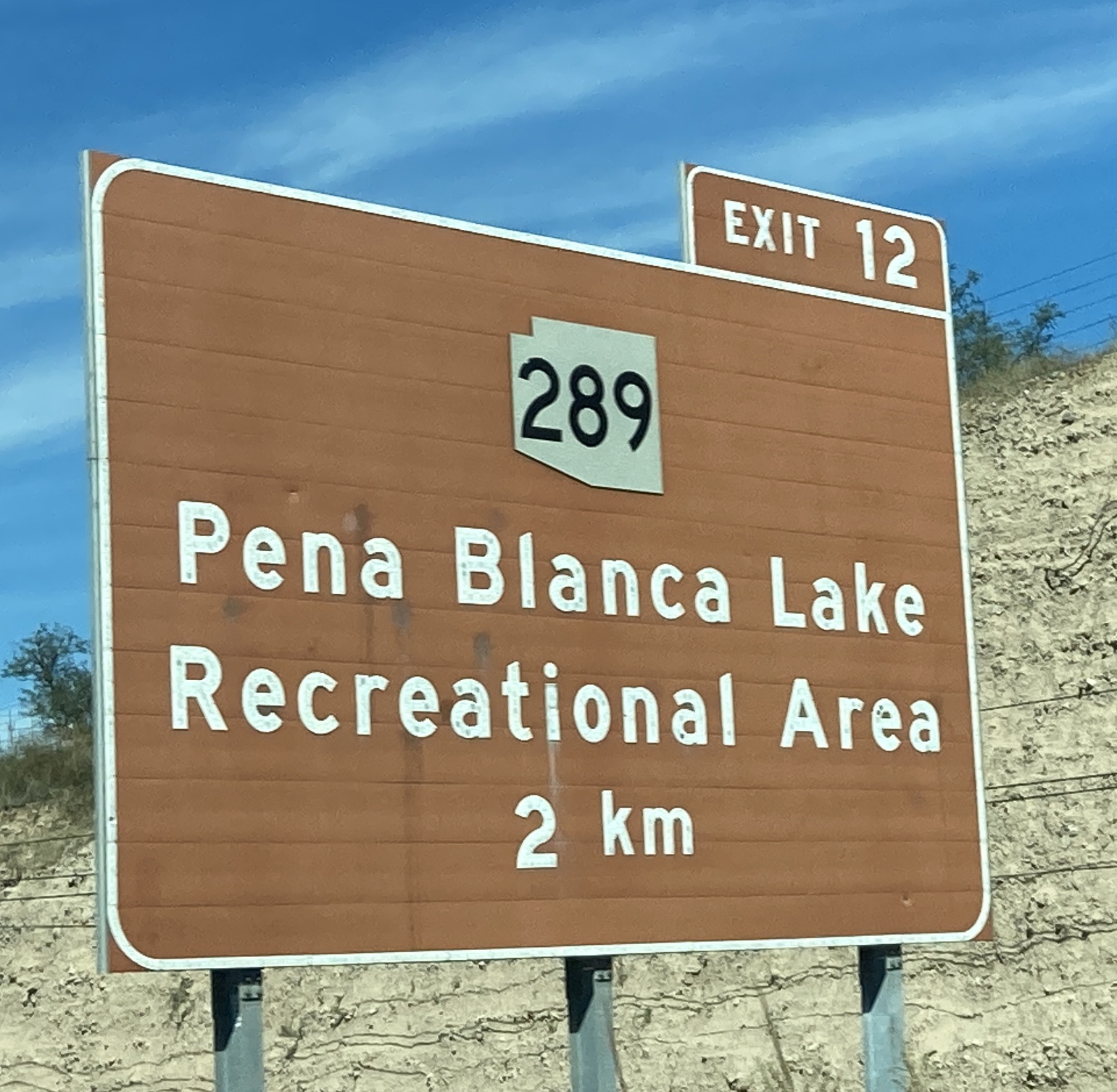
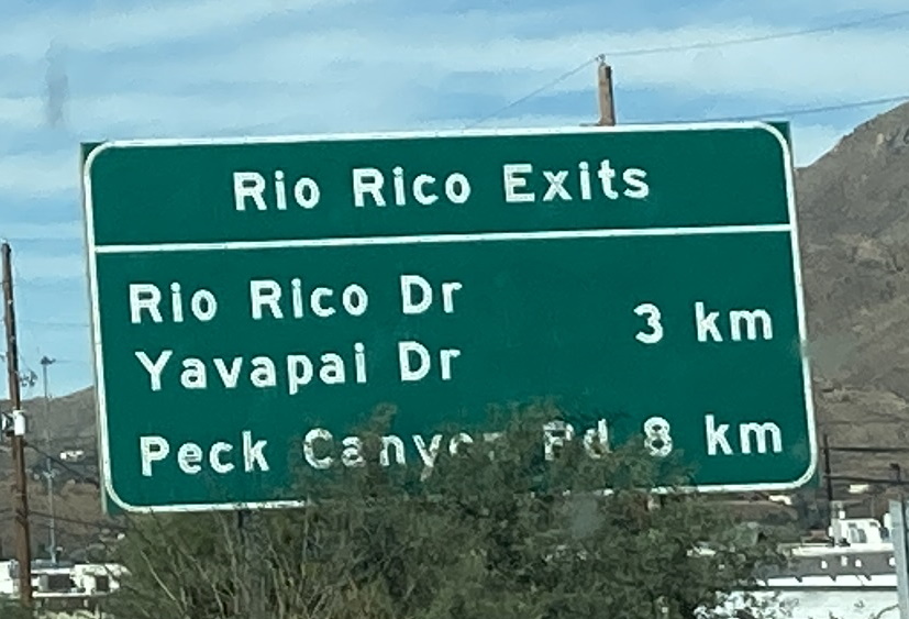
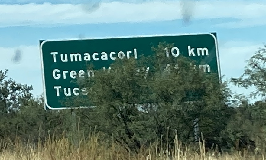
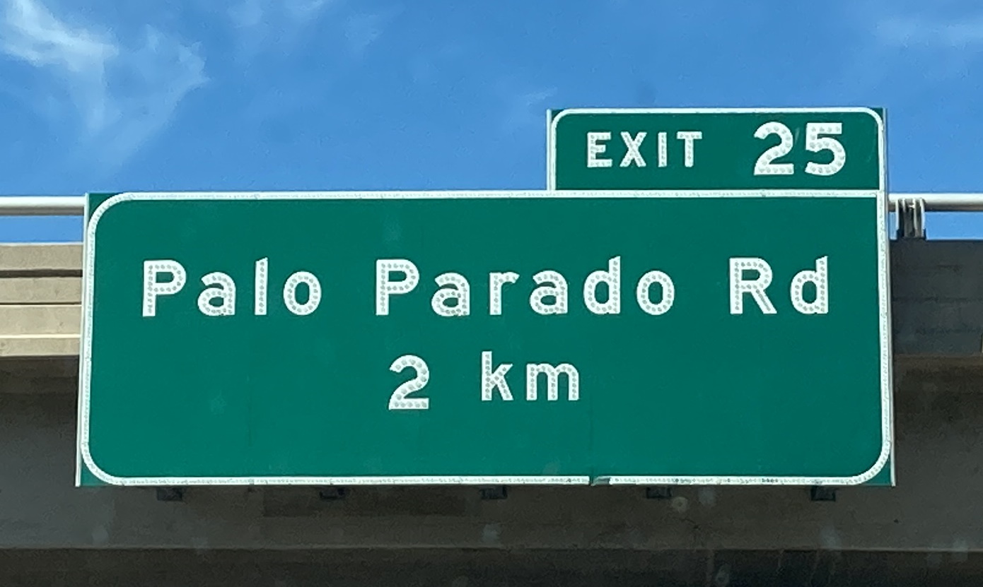
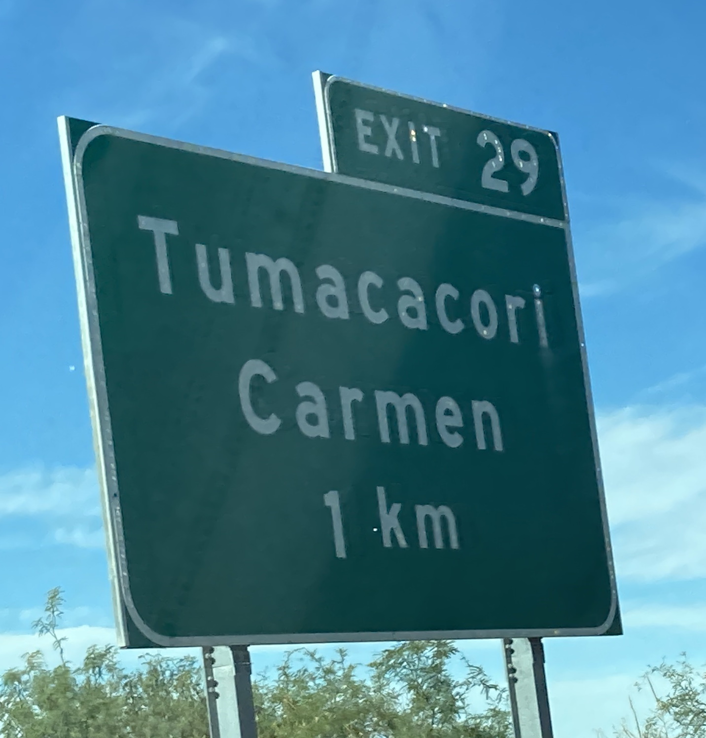
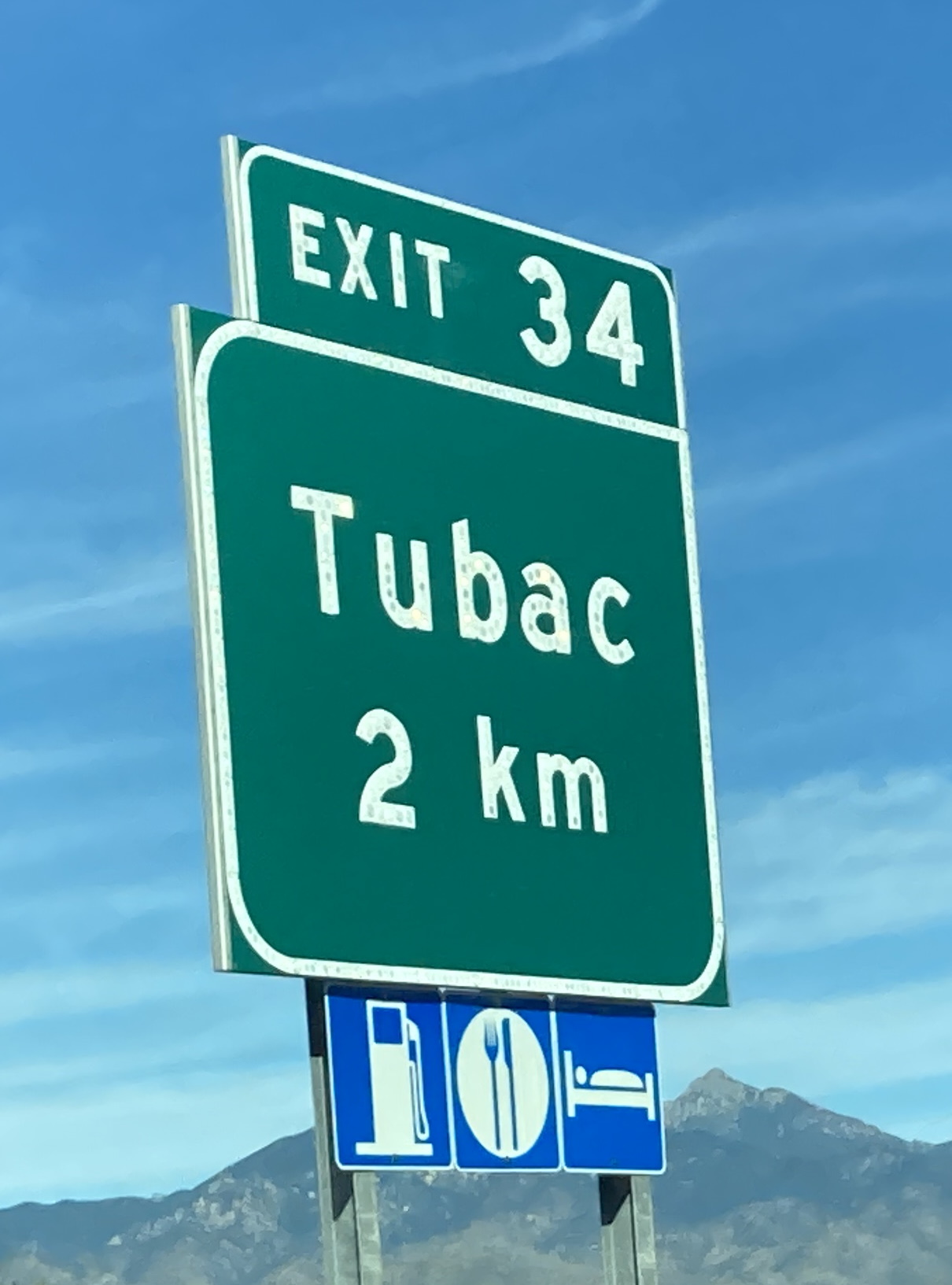
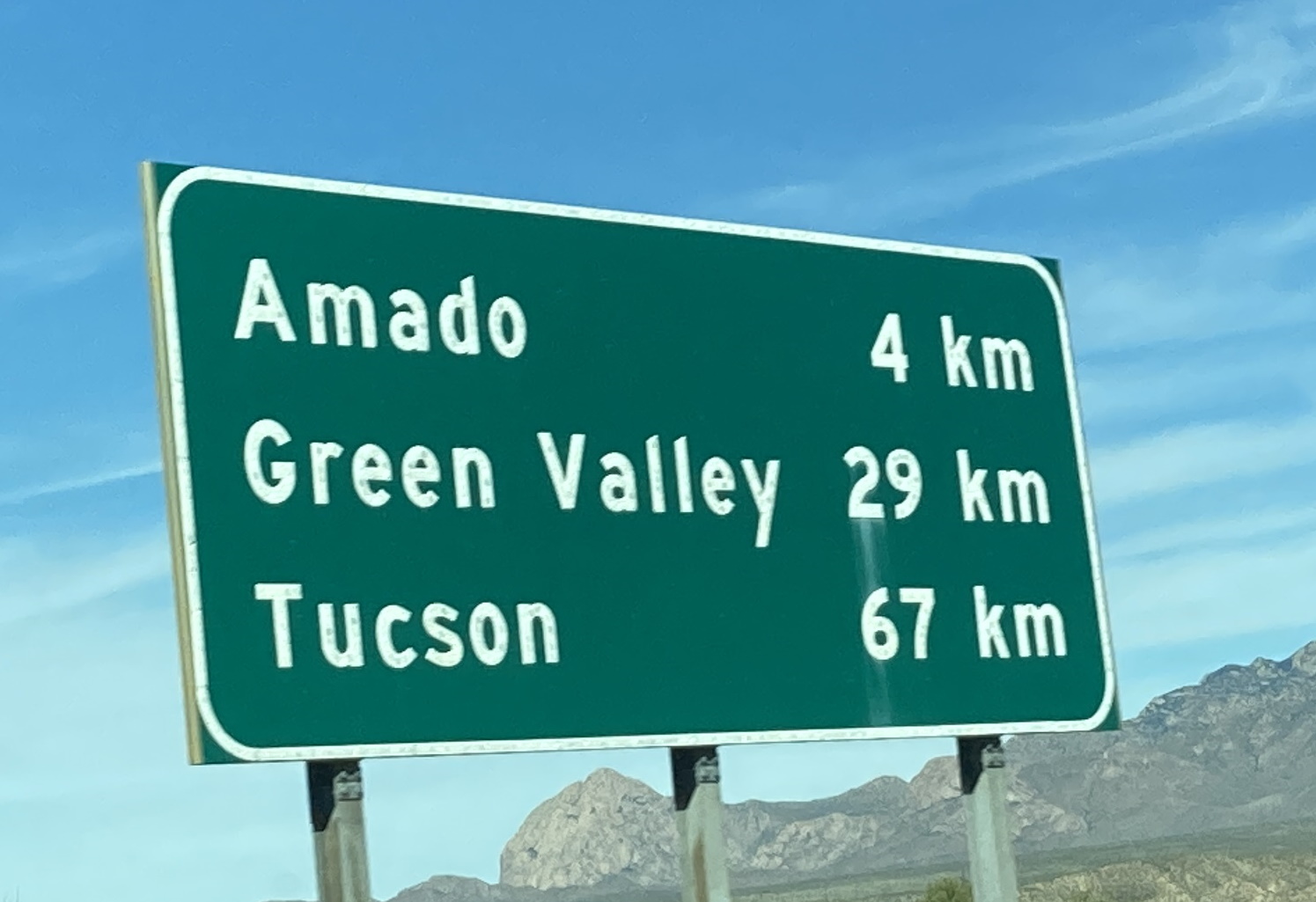
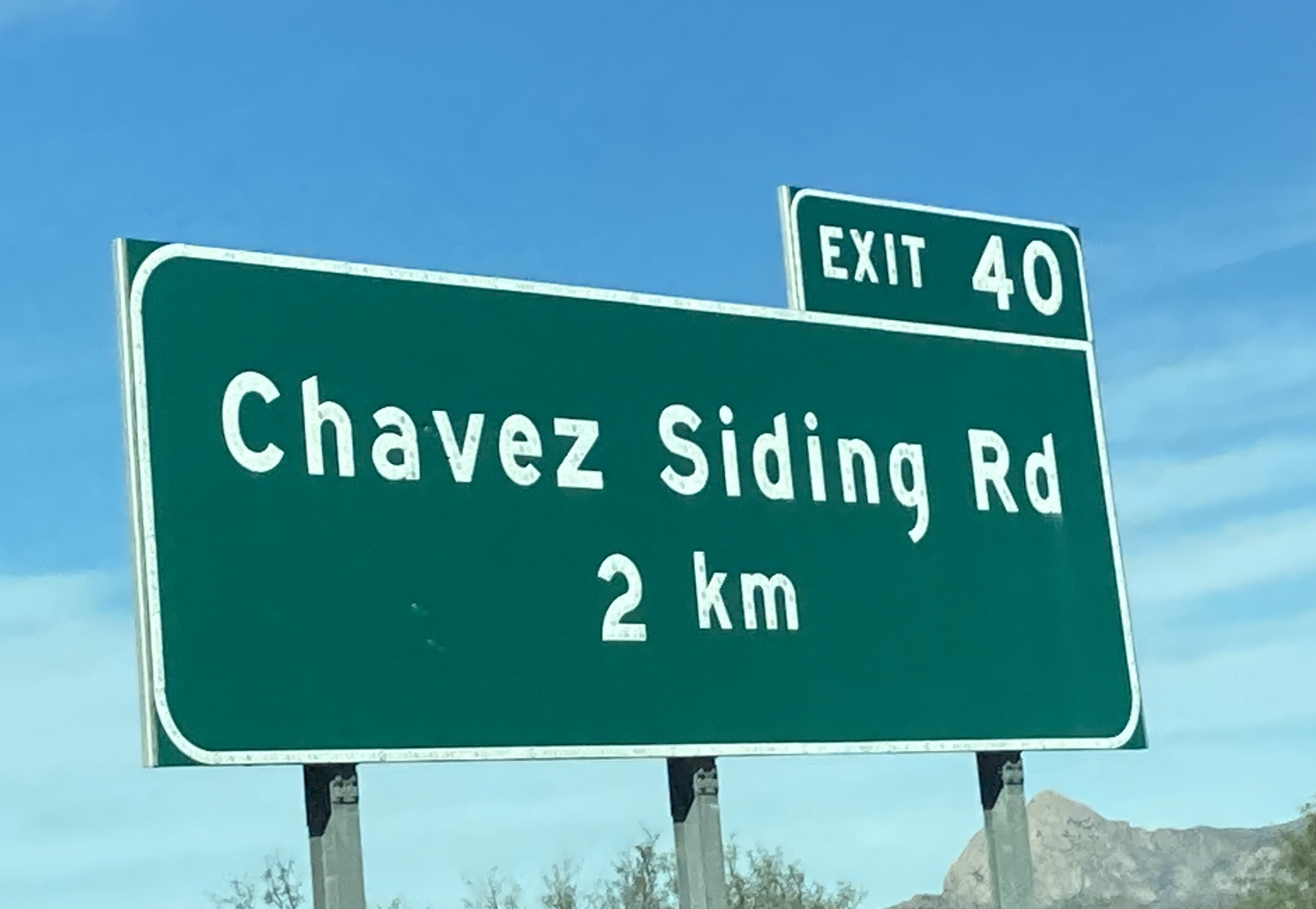
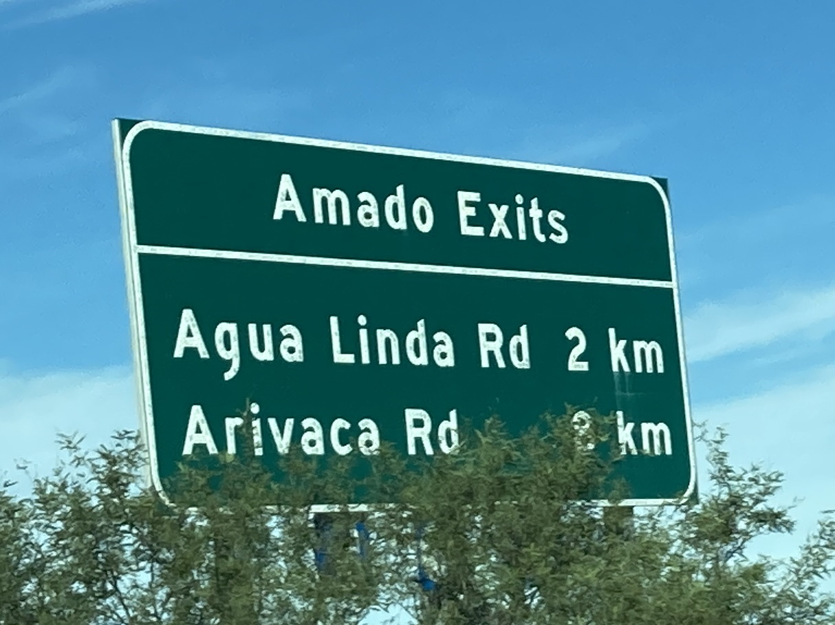
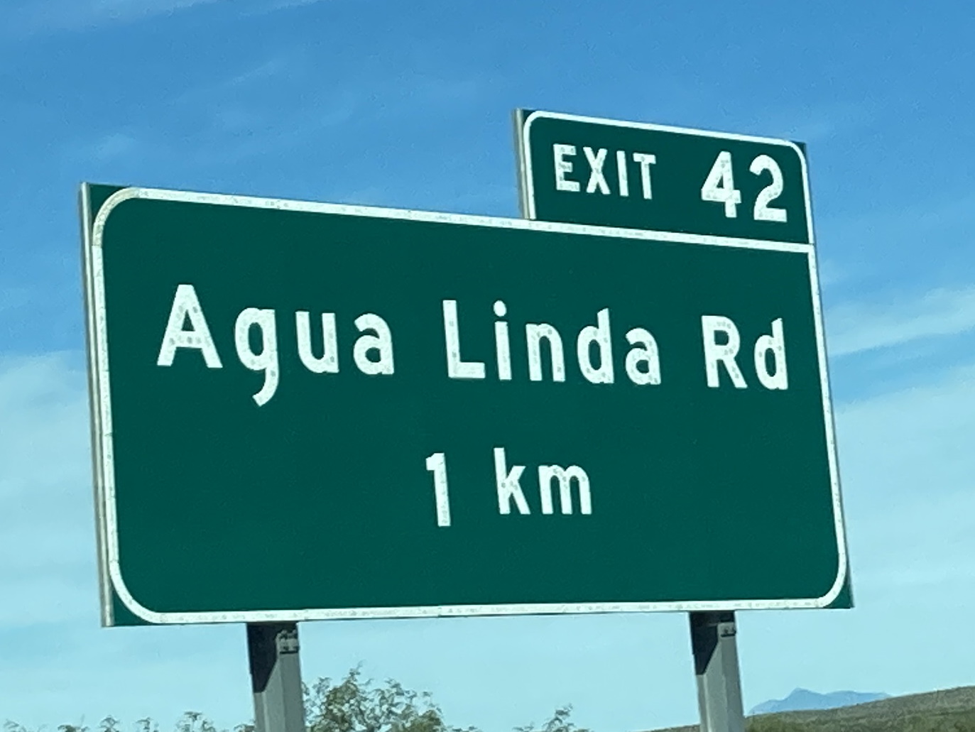
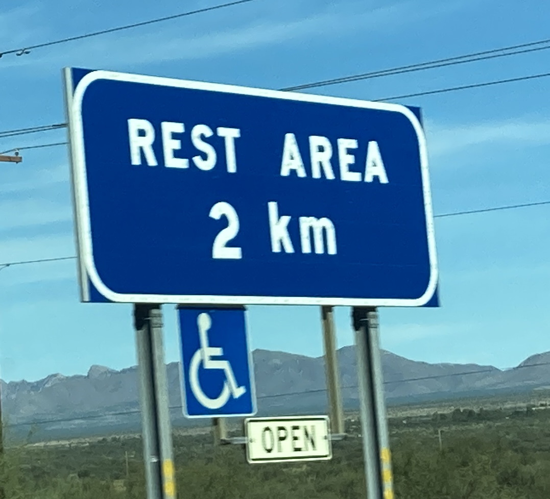
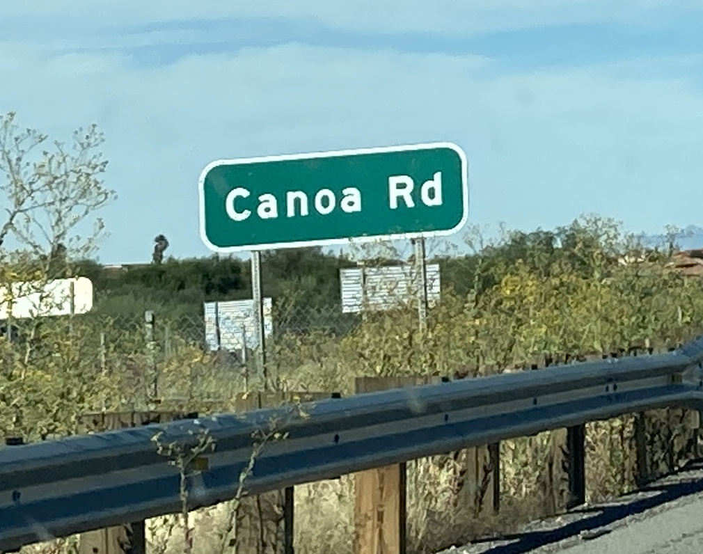
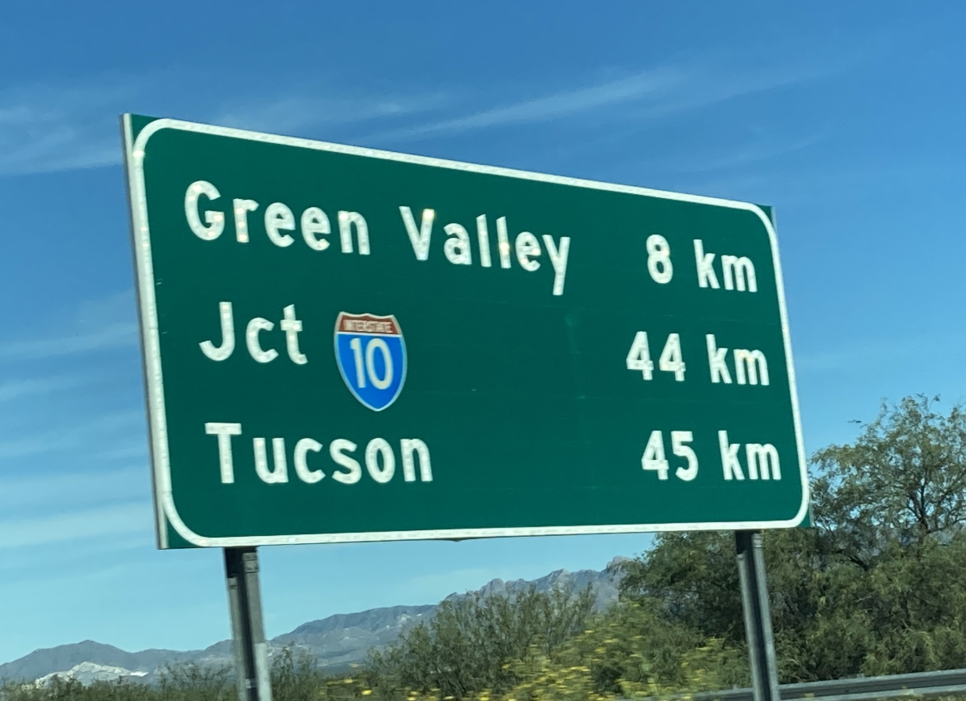
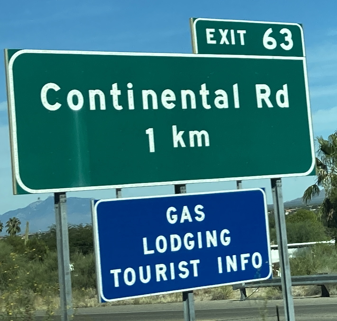
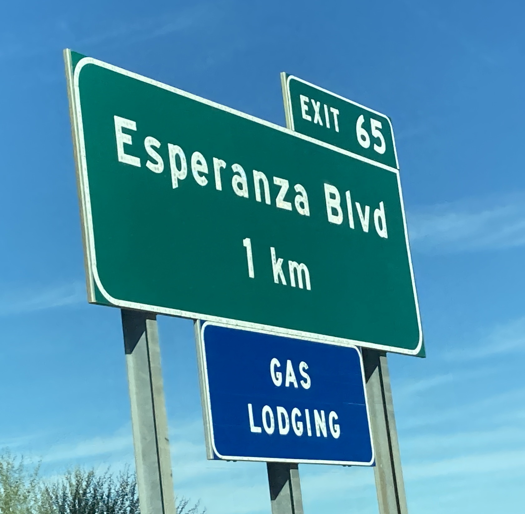
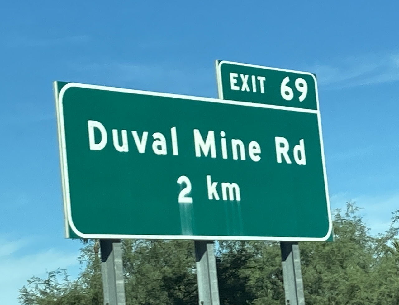
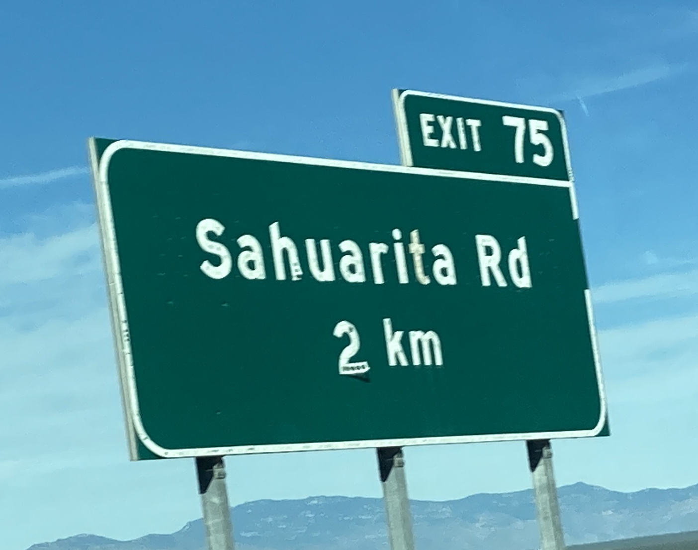
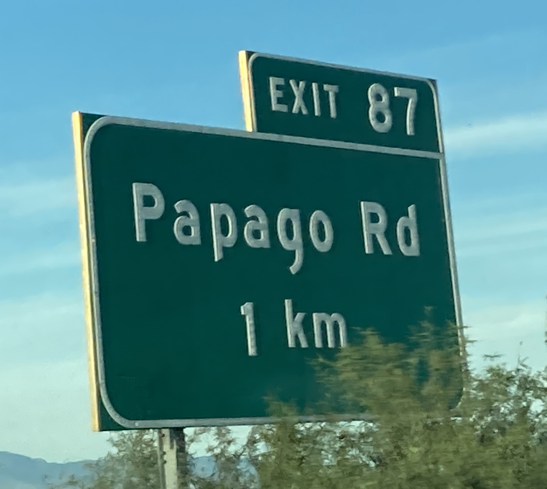
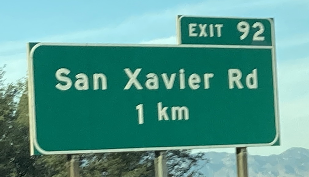
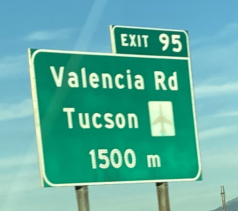
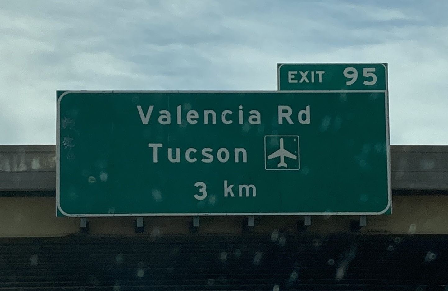
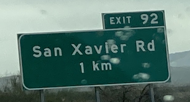
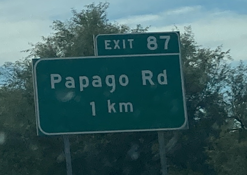
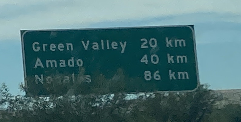
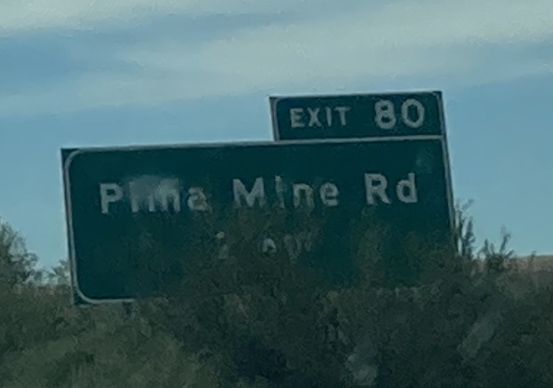
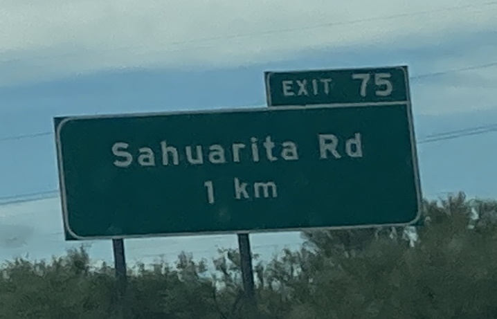
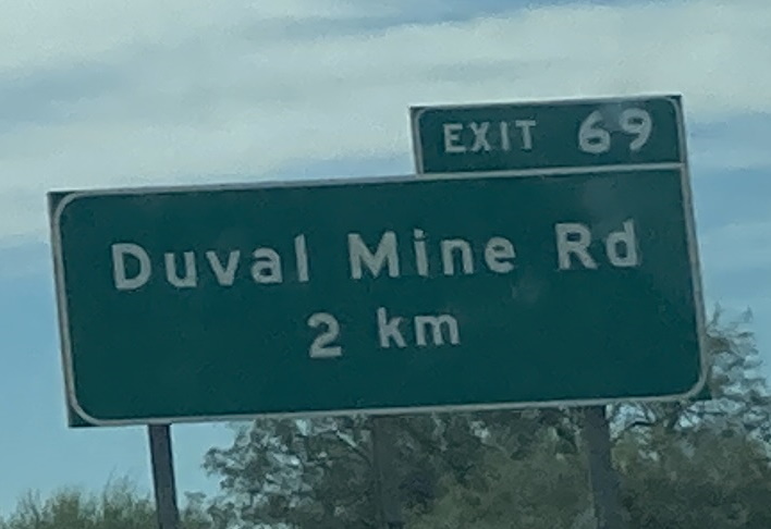
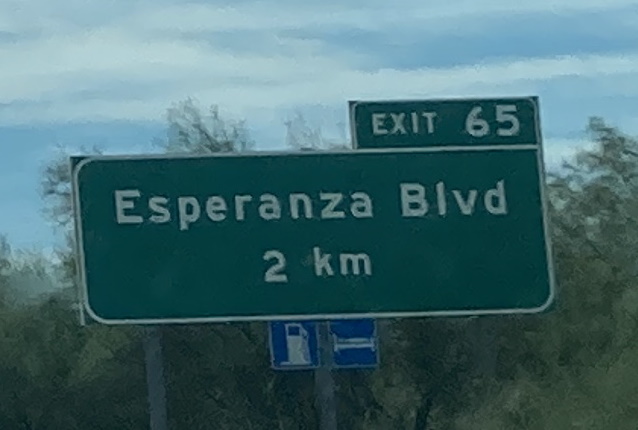
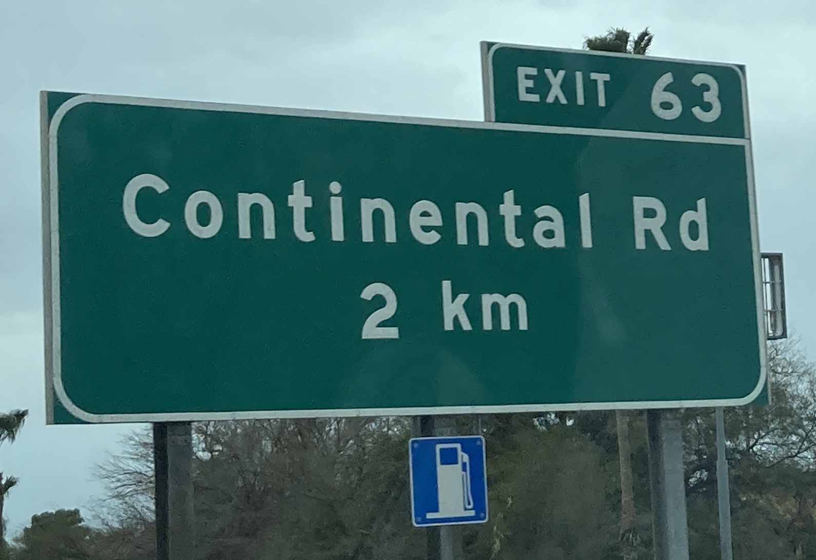
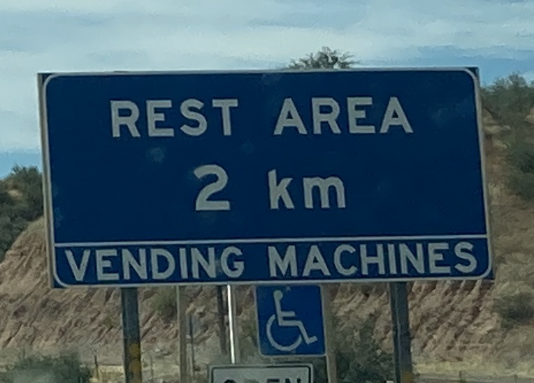
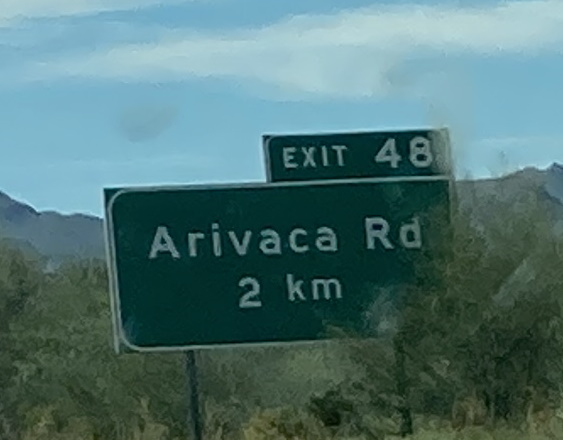
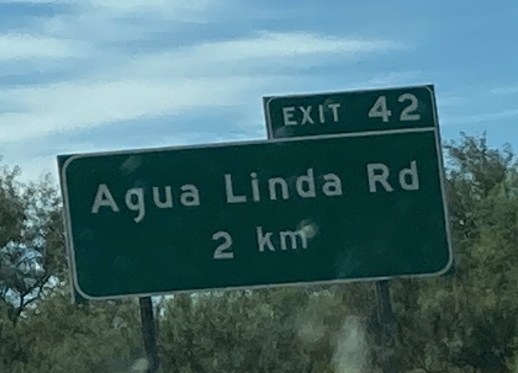
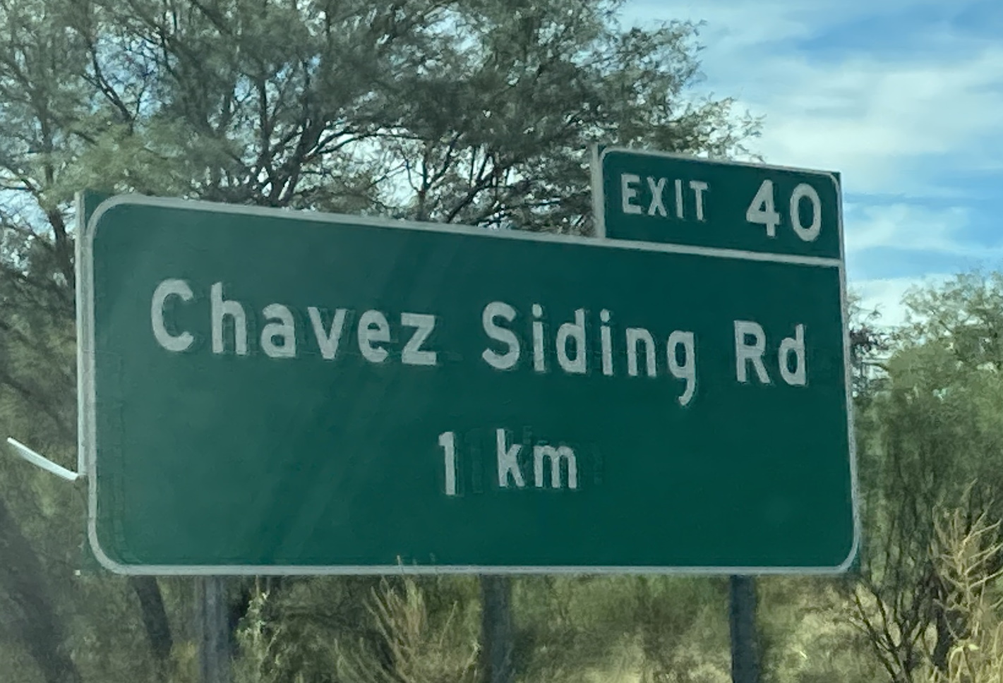
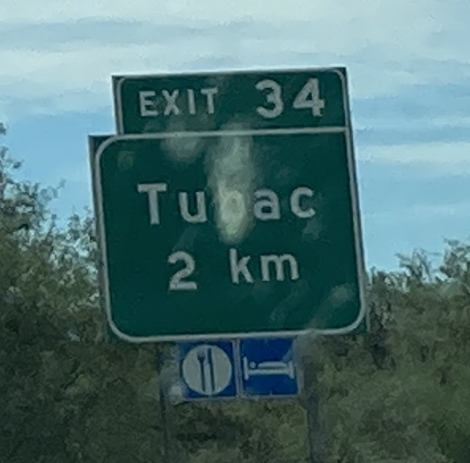
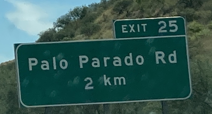
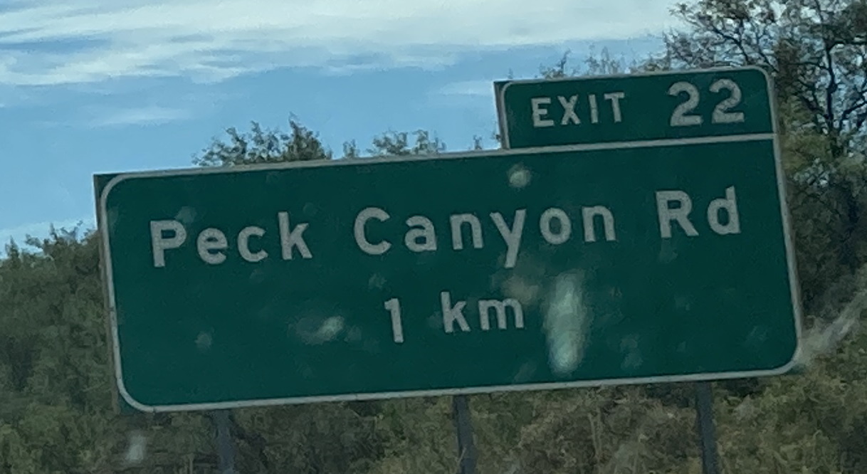
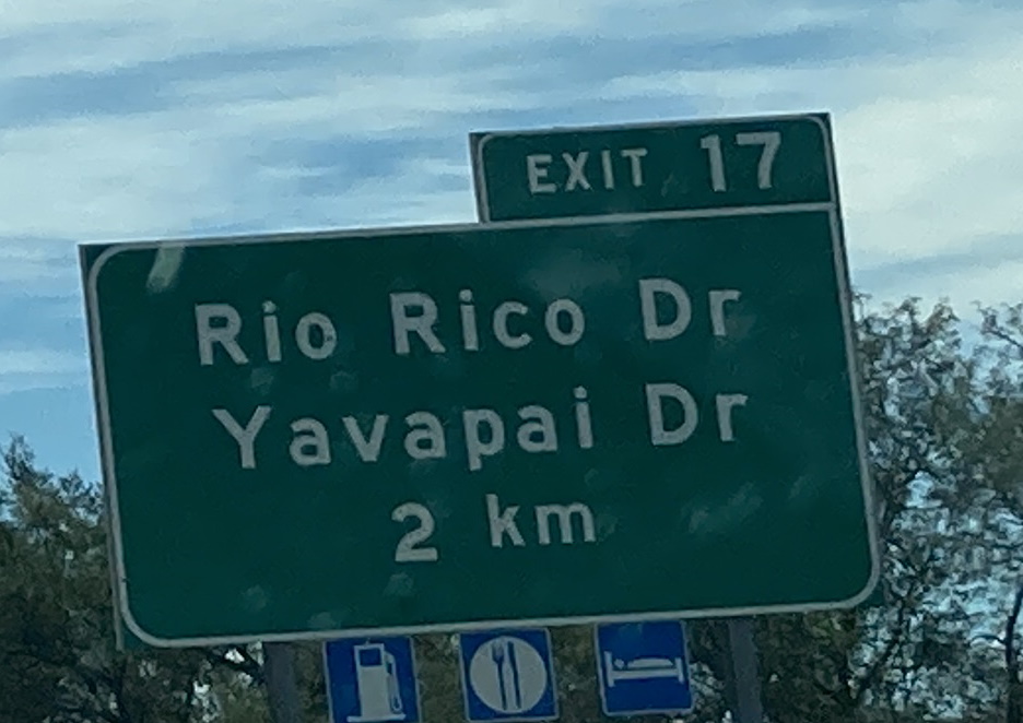
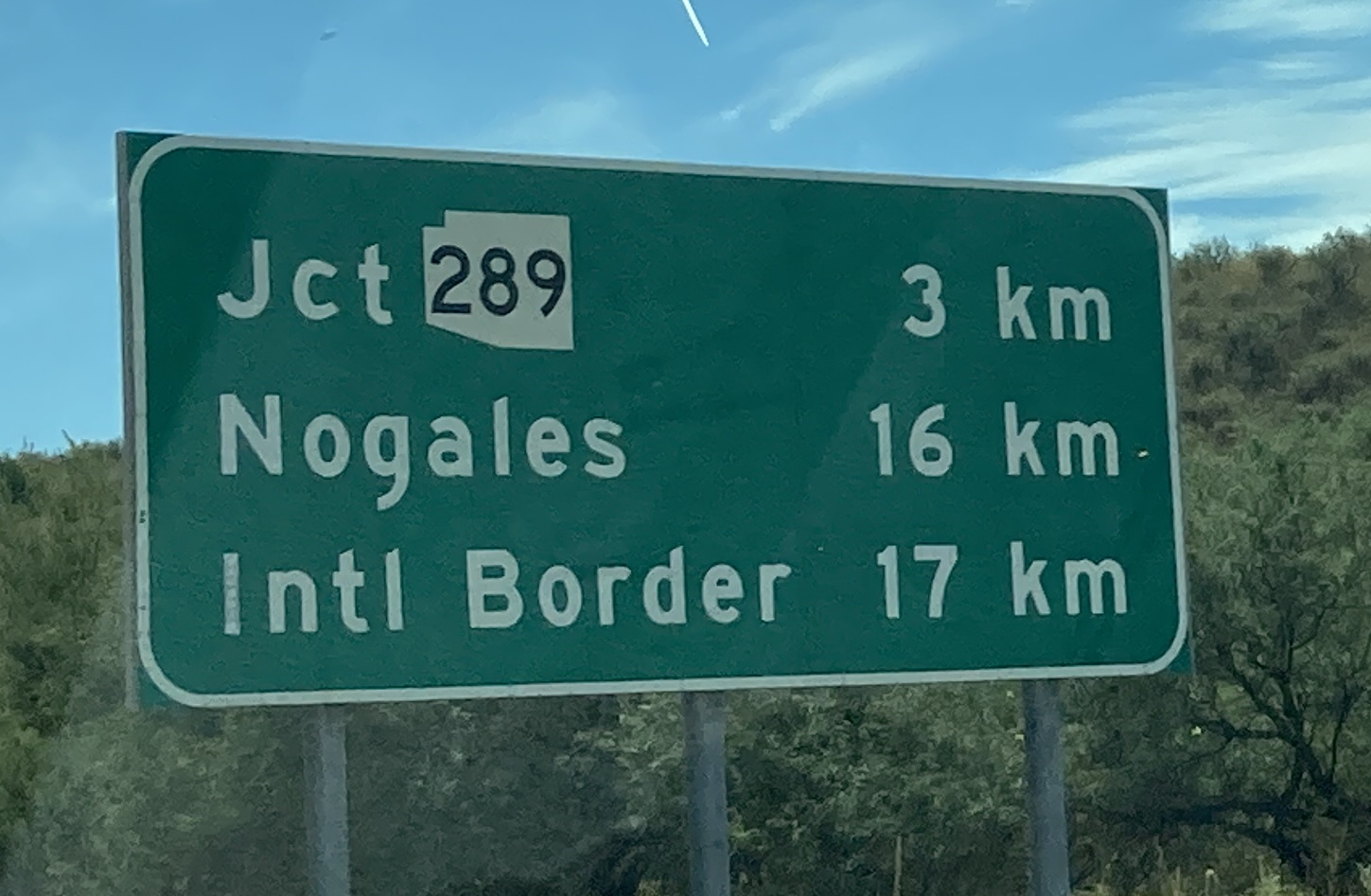
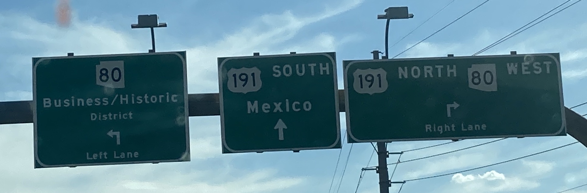
12/19/2020 - Interstate 19 N north of Valencia Rd - Tucson12/19/2020 - Interstate 19 N @ Irvington Rd exit - Tucson10/8/2021 - Interstate 19 N @ Irvington Rd - Tucson Replaced in late 2022/early 202310/8/2021 - Interstate 19 N approaching Western Ave - Nogales10/8/2021 - Interstate 19 N, south of SR 289 - Rio Rico10/8/2021 - Interstate 19 N approaching SR 289 - Rio Rico10/8/2021 - Interstate 19 N, south of Rio Rico/Yavapai Dr - Rio Rico10/8/2021 - Interstate 19 N approaching Rio Rico/Yavapai Dr - Rio Rico10/8/2021 - Interstate 19 N, north of Rio Rico/Yavapai Dr - Rio Rico10/8/2021 - Interstate 19 N approaching Peck Canyon Rd - Rio Rico10/8/2021 - Interstate 19 N, south of Palo Parado Rd - Rio Rico10/8/2021 - Interstate 19 N approaching Palo Parado Rd - Rio Rico10/8/2021 - Interstate 19 N approaching Tumacacori-Carmen10/8/2021 - Interstate 19 N approaching Calle Barrio de Tubac - Tubac10/8/2021 - Interstate 19 N, north of Calle Barrio de Tubac - Tubac10/8/2021 - Interstate 19 N approaching Chavez Siding Rd - Tubac10/8/2021 - Interstate 19 N, south of Agua Linda Rd - Amado10/8/2021 - Interstate 19 N approaching Agua Linda Rd - Amado10/8/2021 - Interstate 19 N approaching Arivaca Rd - Amado10/8/2021 - Interstate 19 N approaching Canoa Ranch Rest Area10/8/2021 - Interstate 19 N @ Canoa Rd10/8/2021 - Interstate 19 N, north of Canoa Rd10/8/2021 - Interstate 19 N approaching Continental Rd - Green Valley10/8/2021 - Interstate 19 N approaching Esperanza Blvd - Green Valley10/8/2021 - Interstate 19 N approaching Duval Mine Rd - Green Valley10/8/2021 - Interstate 19 N approaching Sahuarita Rd - Sahuarita10/8/2021 - Interstate 19 N, north of Pima Mine Rd - San Xavier Indian Reservation10/8/2021 - Interstate 19 N approaching Papago Rd - San Xavier Indian Reservation10/8/2021 - Interstate 19 N approaching San Xavier Rd - San Xavier Indian Reservation10/8/2021 - Interstate 19 N approaching Valencia Rd - Tucson
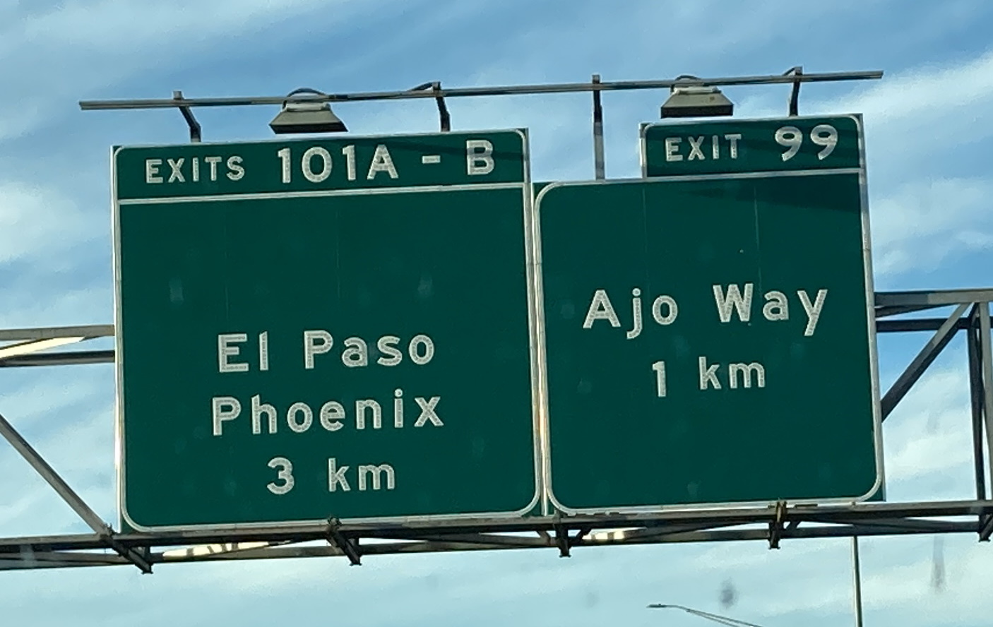
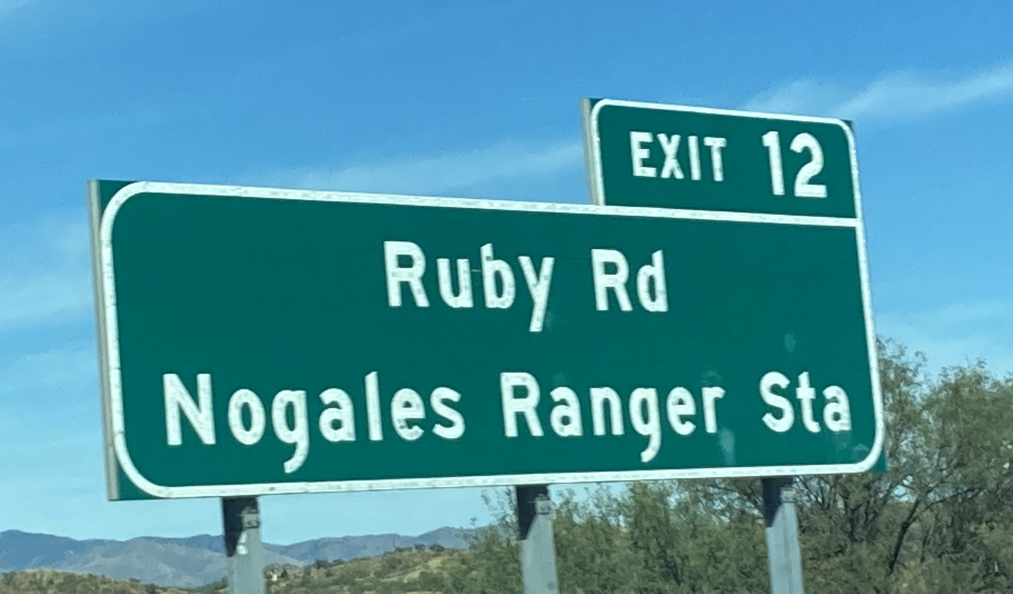
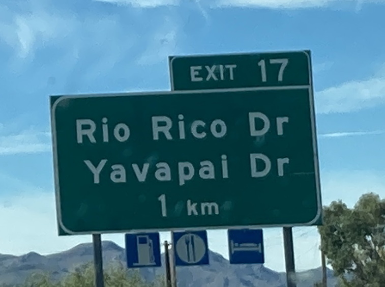
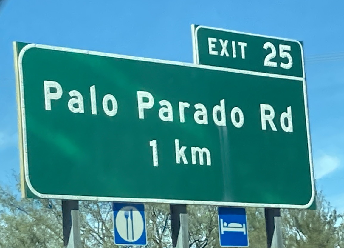
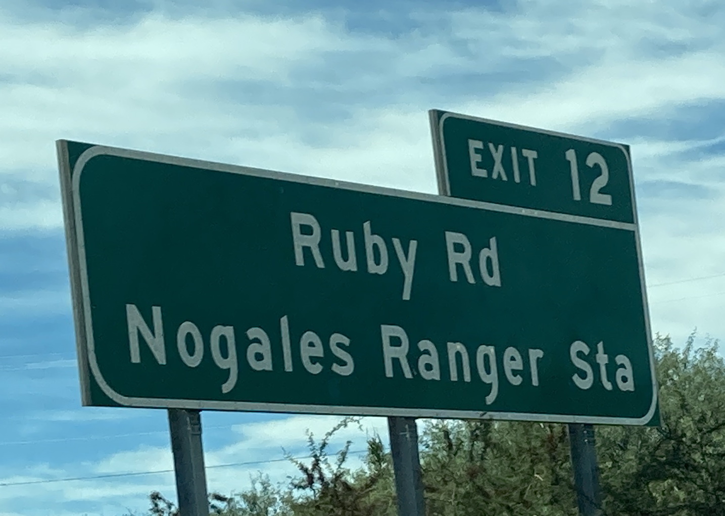
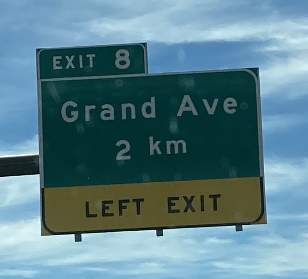
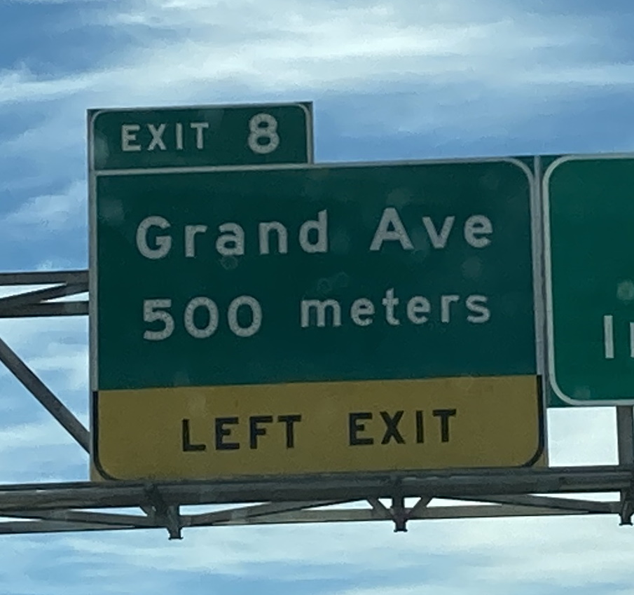
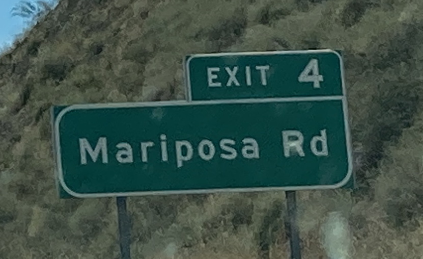
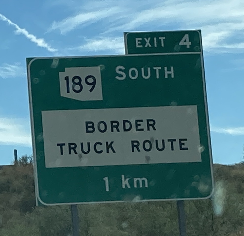
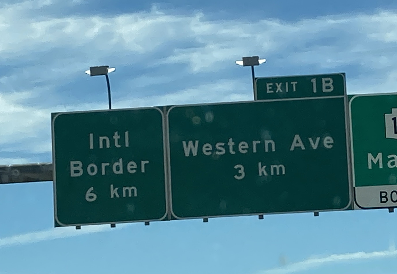
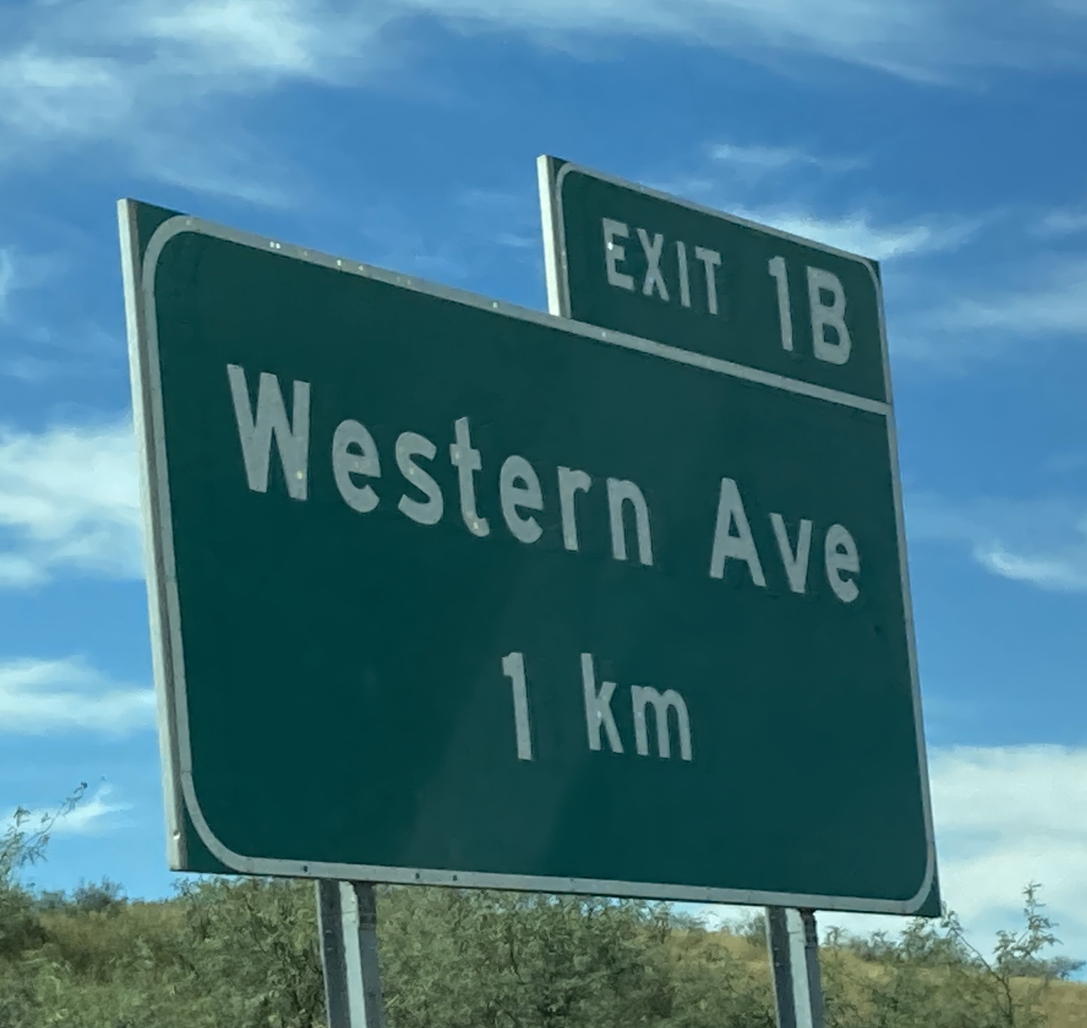
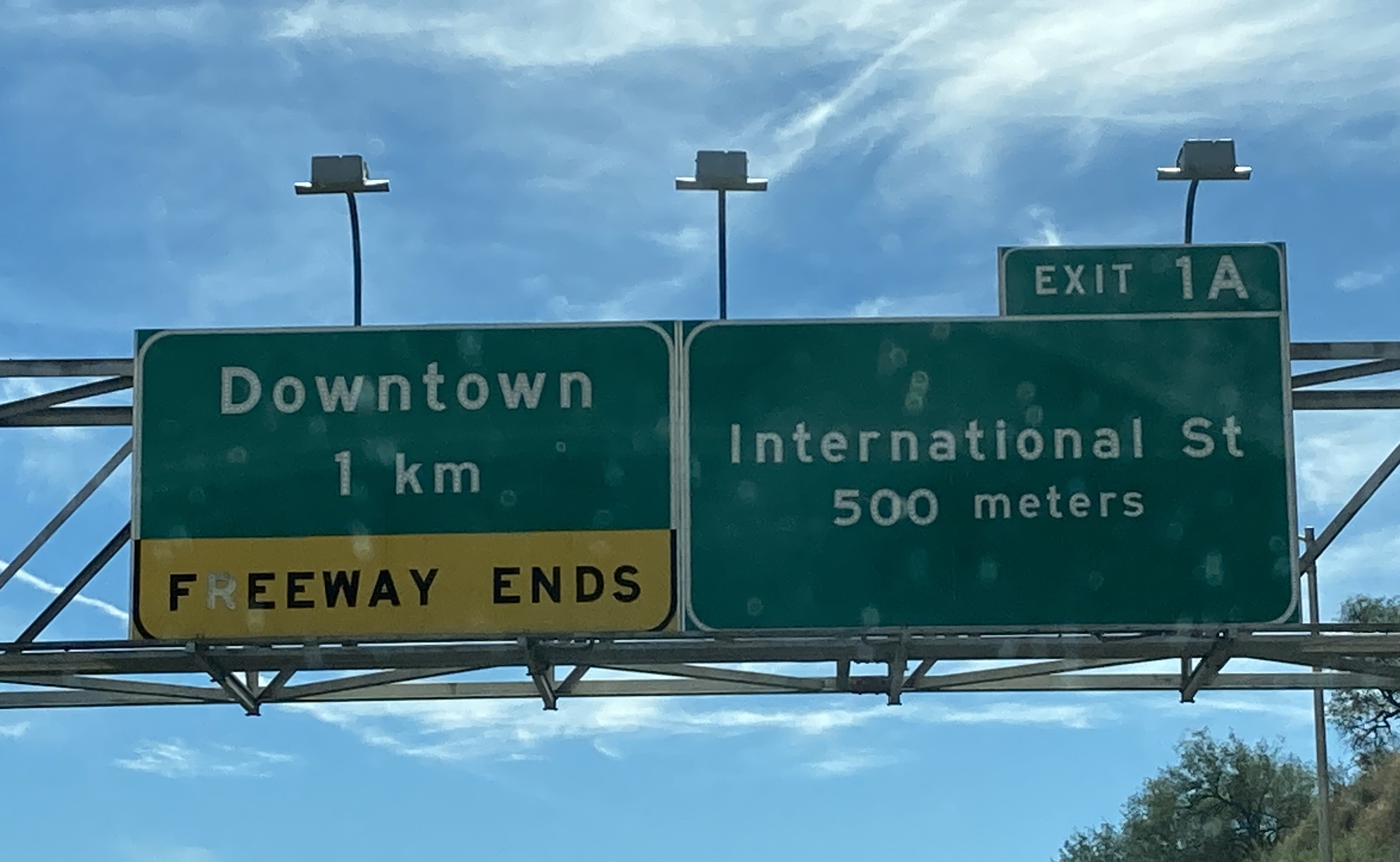
10/8/2021 - Interstate 19 S @ Irvington Rd - Tucson3/15/2023 - Interstate 19 S approaching San Xavier Rd - Tucson10/8/2021 - Interstate 19 S approaching Papago Rd - San Xavier Indian Reservation10/8/2021 - Interstate 19 S, south of Papago Rd - San Xavier Indian Reservation10/8/2021 - Interstate 19 S approaching Pima Mine Rd - San Xavier Indian Reservation10/8/2021 - Interstate 19 S approaching Sahuarita Rd - Sahuarita10/8/2021 - Interstate 19 S approaching Duval Mine Rd - Sahuarita10/8/2021 - Interstate 19 S approaching Esperanza Blvd - Green Valley3/15/2023 - Interstate 19 S approaching Continental Rd - Green Valley10/8/2021 - Interstate 19 S approaching Canoa Ranch Rest Area10/8/2021 - Interstate 19 S approaching Arivaca Rd - Amado10/8/2021 - Interstate 19 S approaching Agua Linda Rd - Amado10/8/2021 - Interstate 19 S approaching Chavez Siding Rd - Amado10/8/2021 - Interstate 19 S approaching Calle Barrio de Tubac - Tubac10/8/2021 - Interstate 19 S, south of Calle Barrio de Tubac - Tubac10/8/2021 - Interstate 19 S approaching Palo Parado Rd - Tumacacori10/8/2021 - Interstate 19 S approaching Peck Canyon Rd - Rio Rico10/8/2021 - Interstate 19 S approaching Rio Rico Dr/Yavapai Dr - Rio Rico10/8/2021 - Interstate 19 S, south of Rio Rico Dr/Yavapai Dr - Rio Rico10/8/2021 - Interstate 19 S approaching SR 289/Ruby Rd - Rio Rico10/8/2021 - Interstate 19 S @ SR 289 - Rio Rico10/8/2021 - Interstate 19 S, north of Grand Ave - Nogales10/8/2021 - Interstate 19 S approaching Grand Ave - Nogales10/8/2021 - Interstate 19 S, north of SR 189/Mariposa Rd - Nogales10/8/2021 - Interstate 19 S approaching SR 189/Mariposa Rd - Nogales10/8/2021 - Interstate 19 S @ SR 189/Mariposa Rd exit - Nogales10/8/2021 - Interstate 19 S, north of Western Ave - Nogales10/8/2021 - Interstate 19 S @ Western Ave exit - Nogales10/8/2021 - Interstate 19 S approaching International St - Nogales
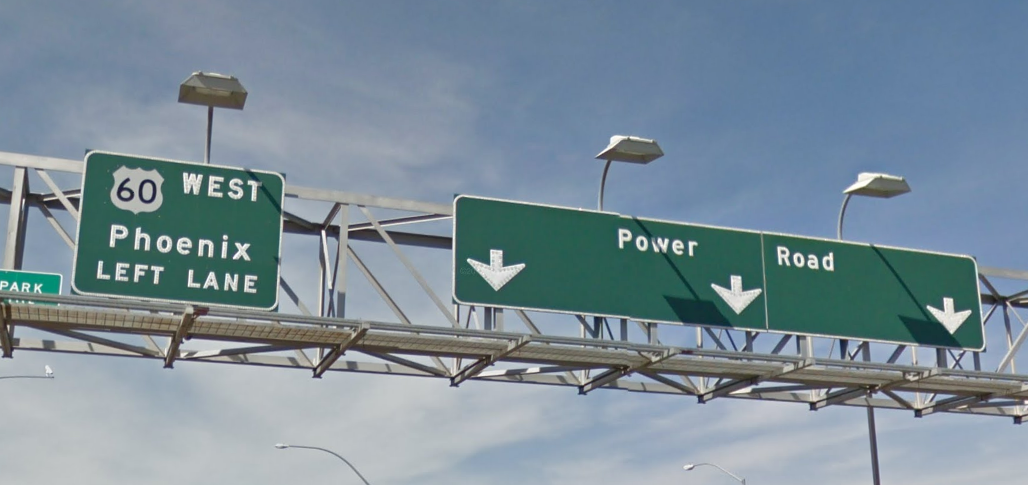
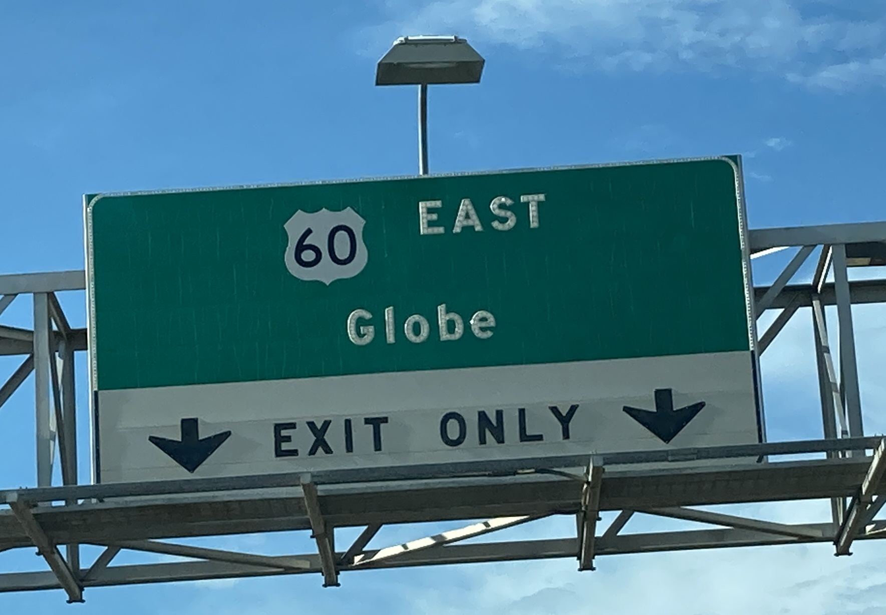
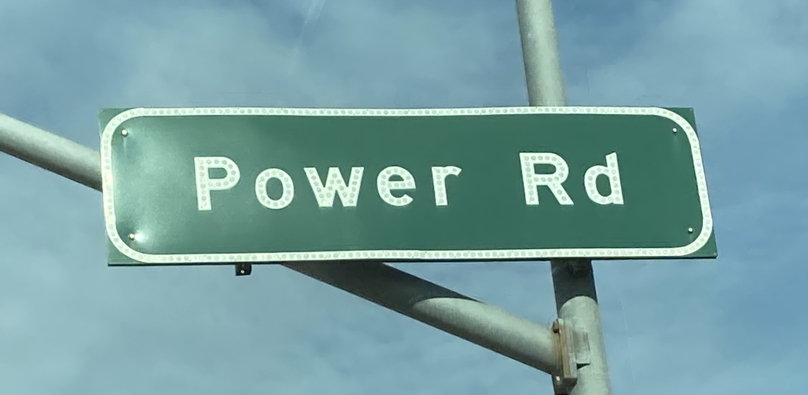
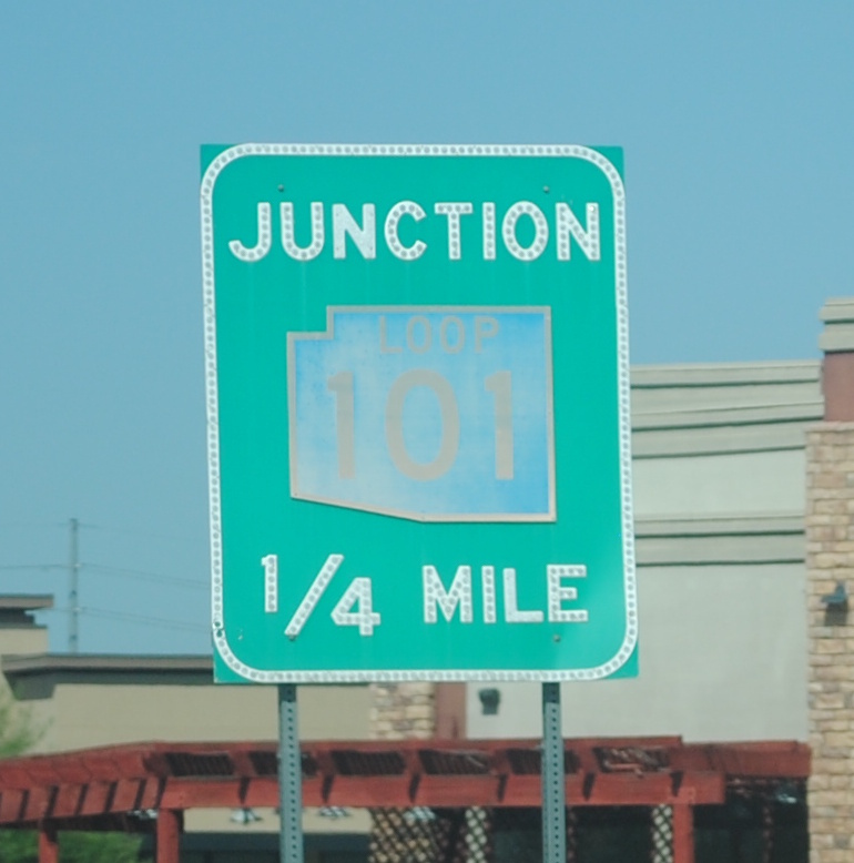
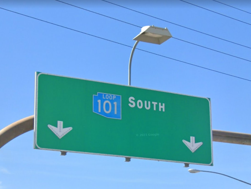
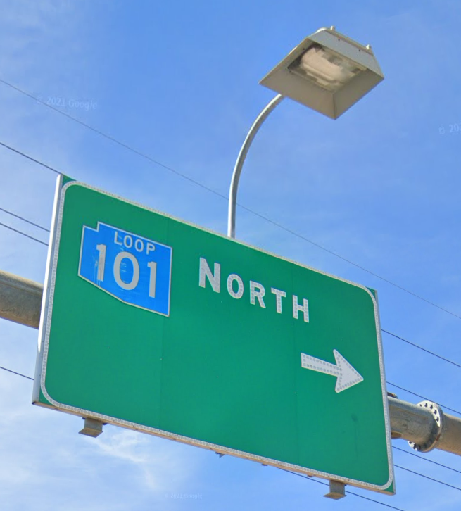
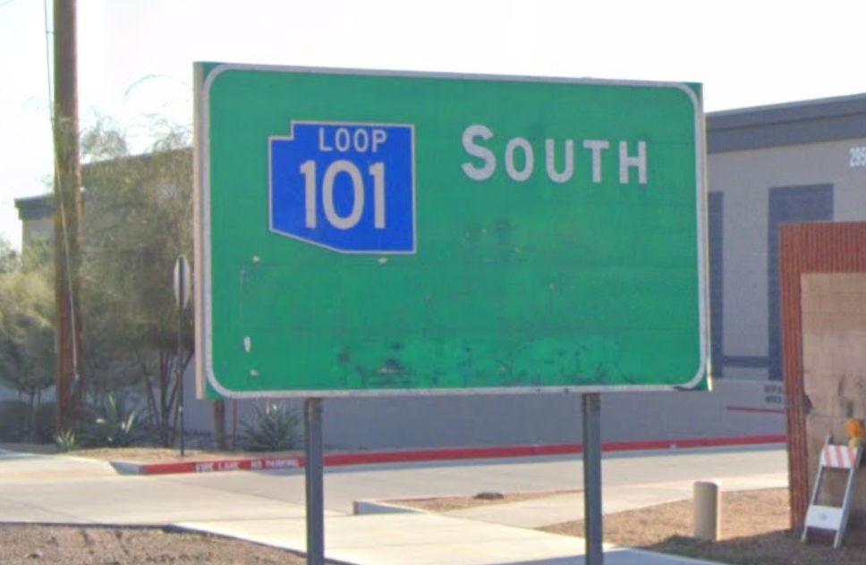
3/21/2021 - US 60 E @ McClintock Dr - TempeGoogle Maps Feb 2021 - Old West Hwy @ Goldfield Rd - Apache Junction8/14/2021 - US 60 E @ Ellsworth Rd - MesaGoogle Maps Apr 2017 - Power Rd @ US 60 W - Mesa8/14/2021 - Power Rd @ US 60 E - Mesa8/14/2021 - US 60 E ramp @ Power Rd - Mesa12/3/2021 - US 60 E @ Loop 101 - Tempe
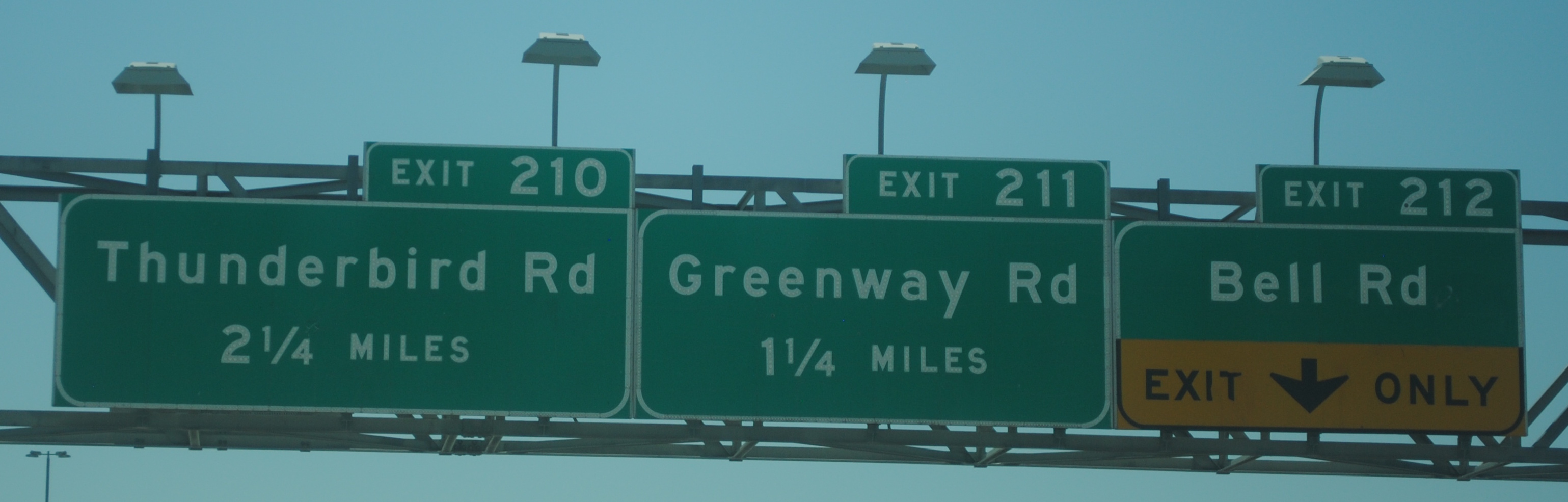
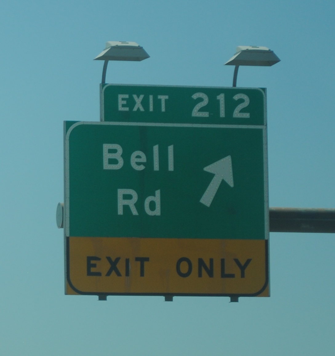
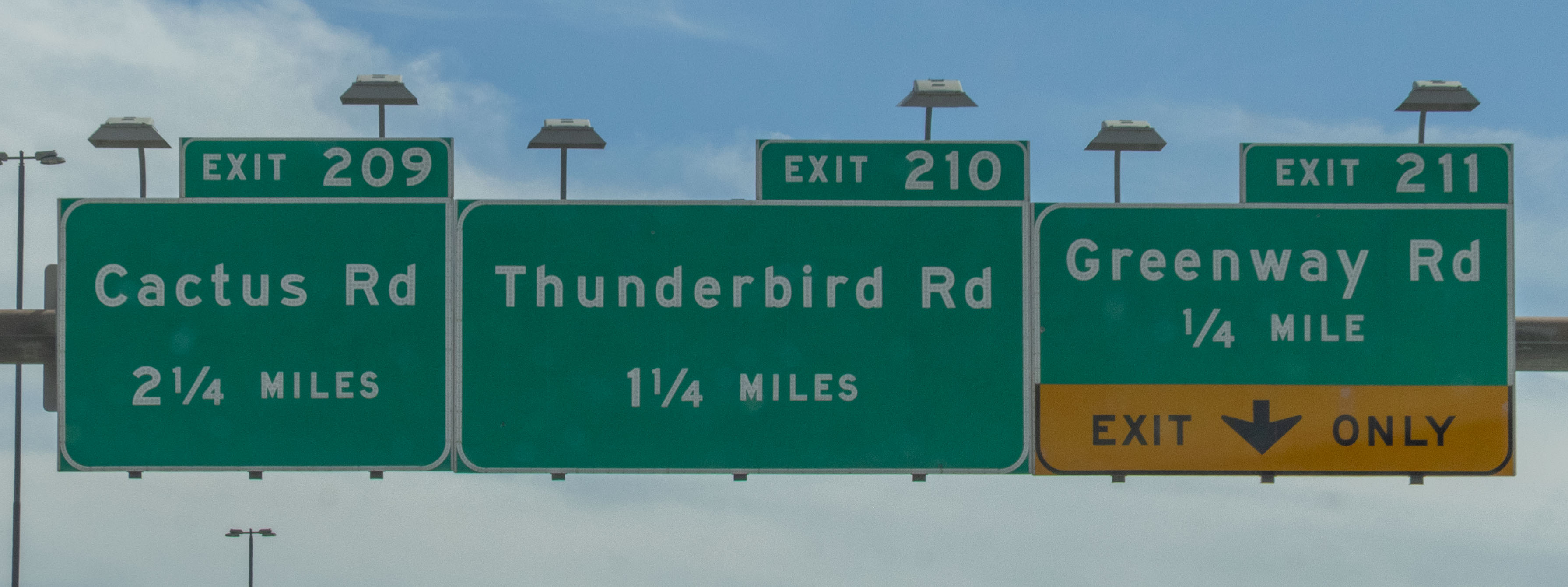
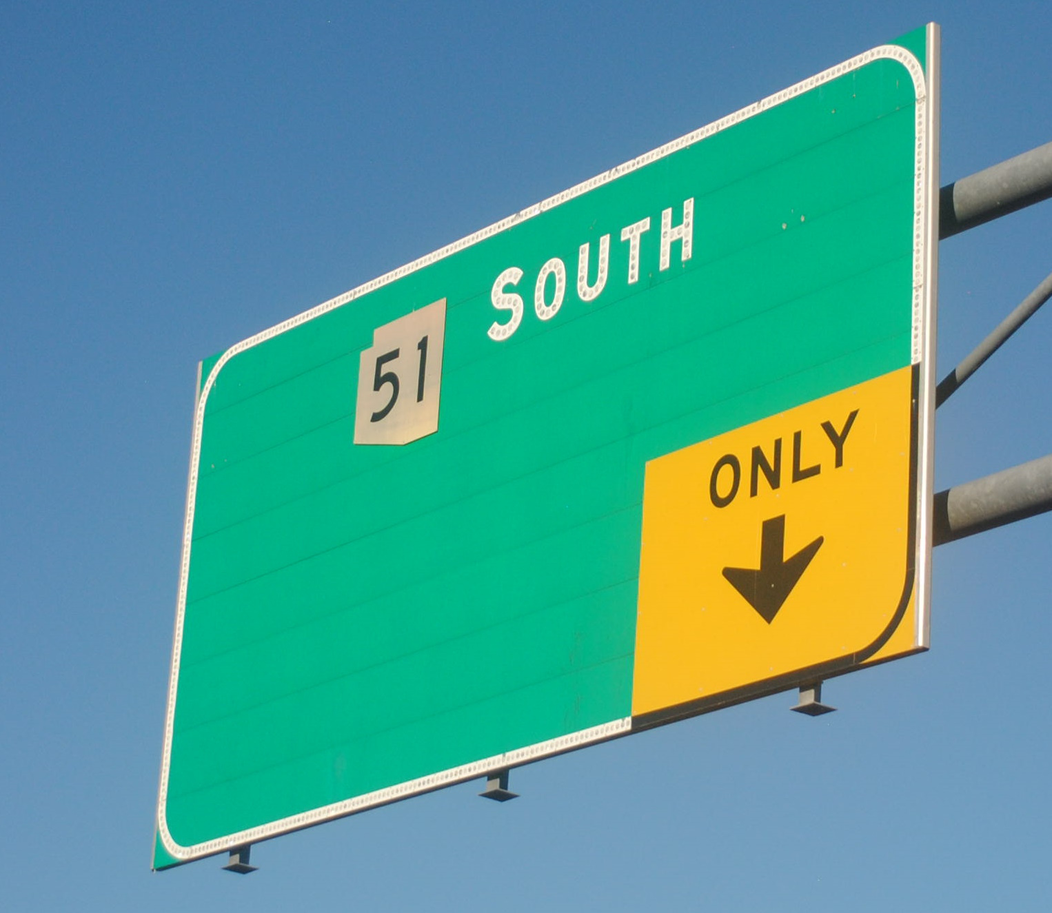
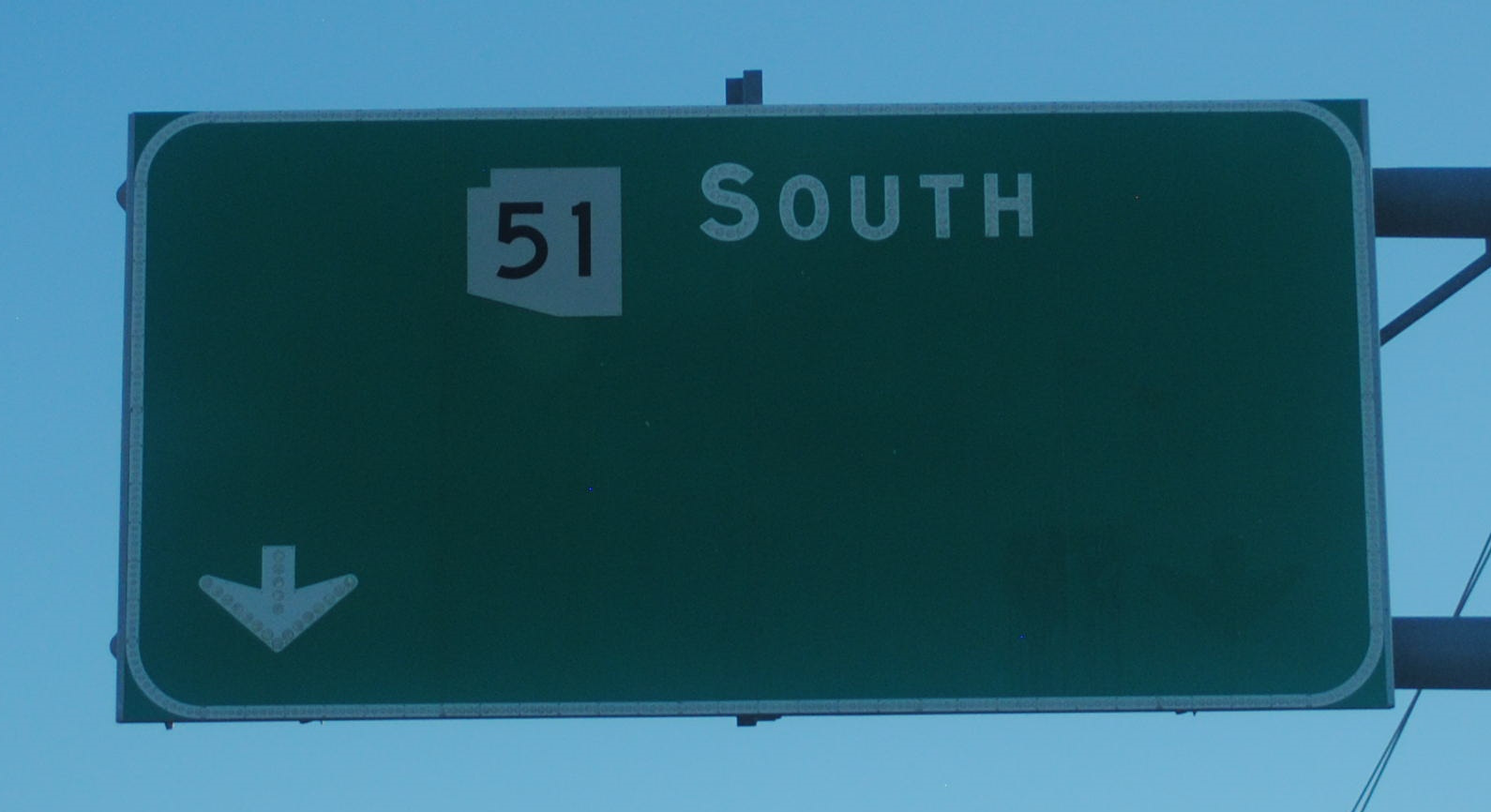
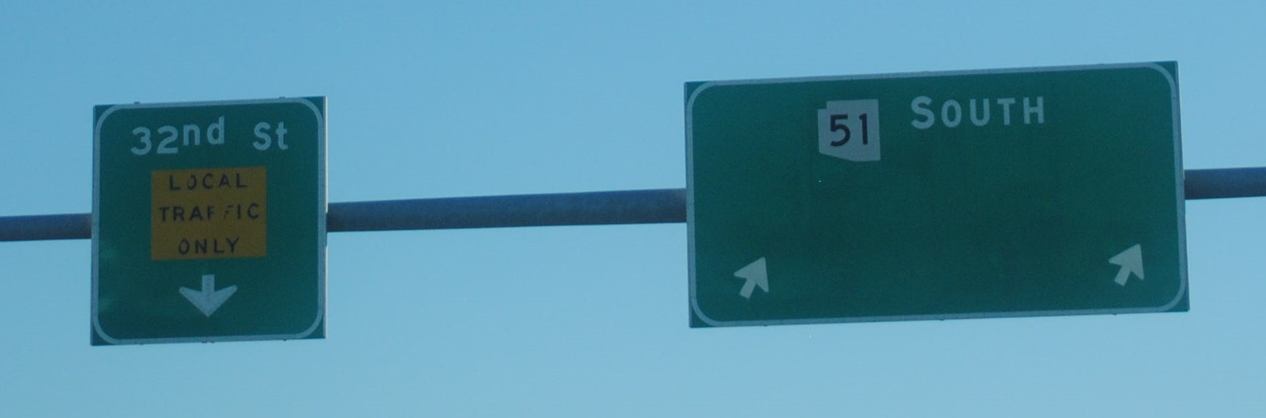
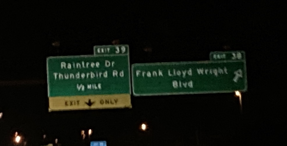
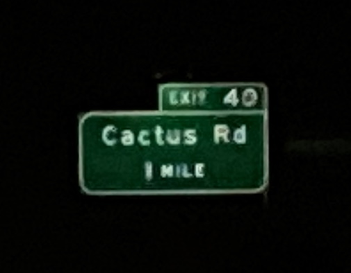
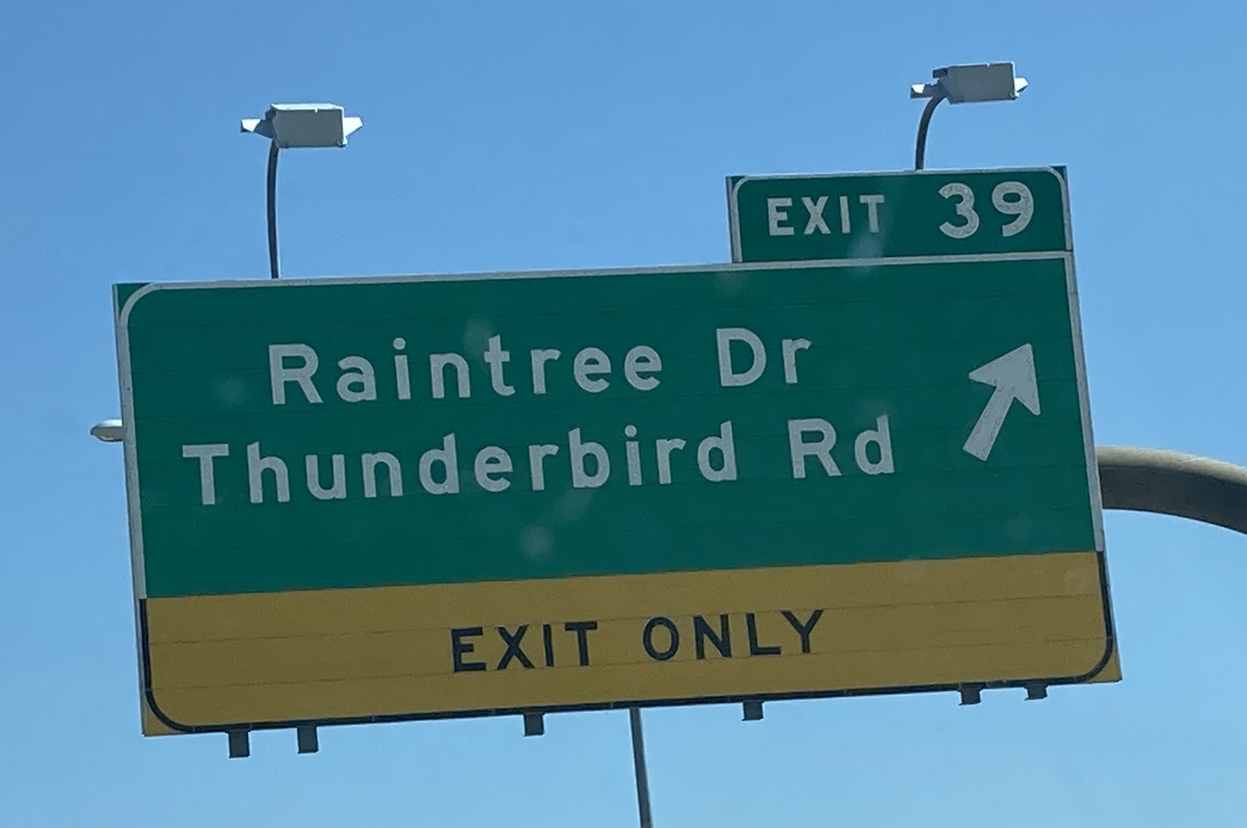
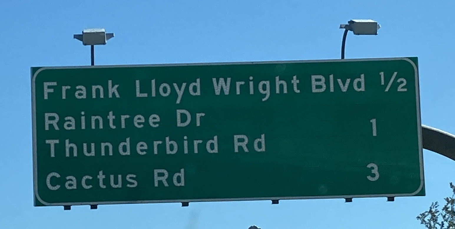
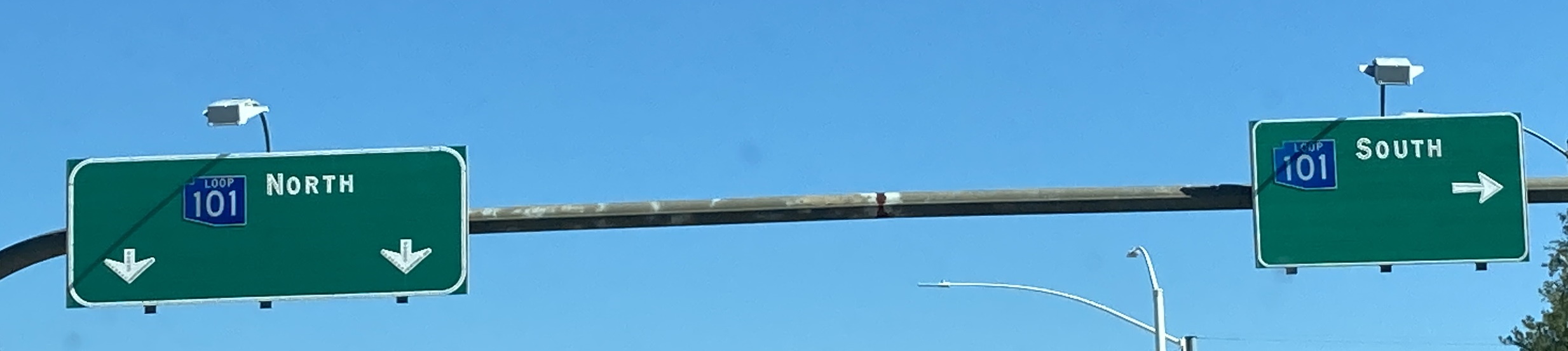
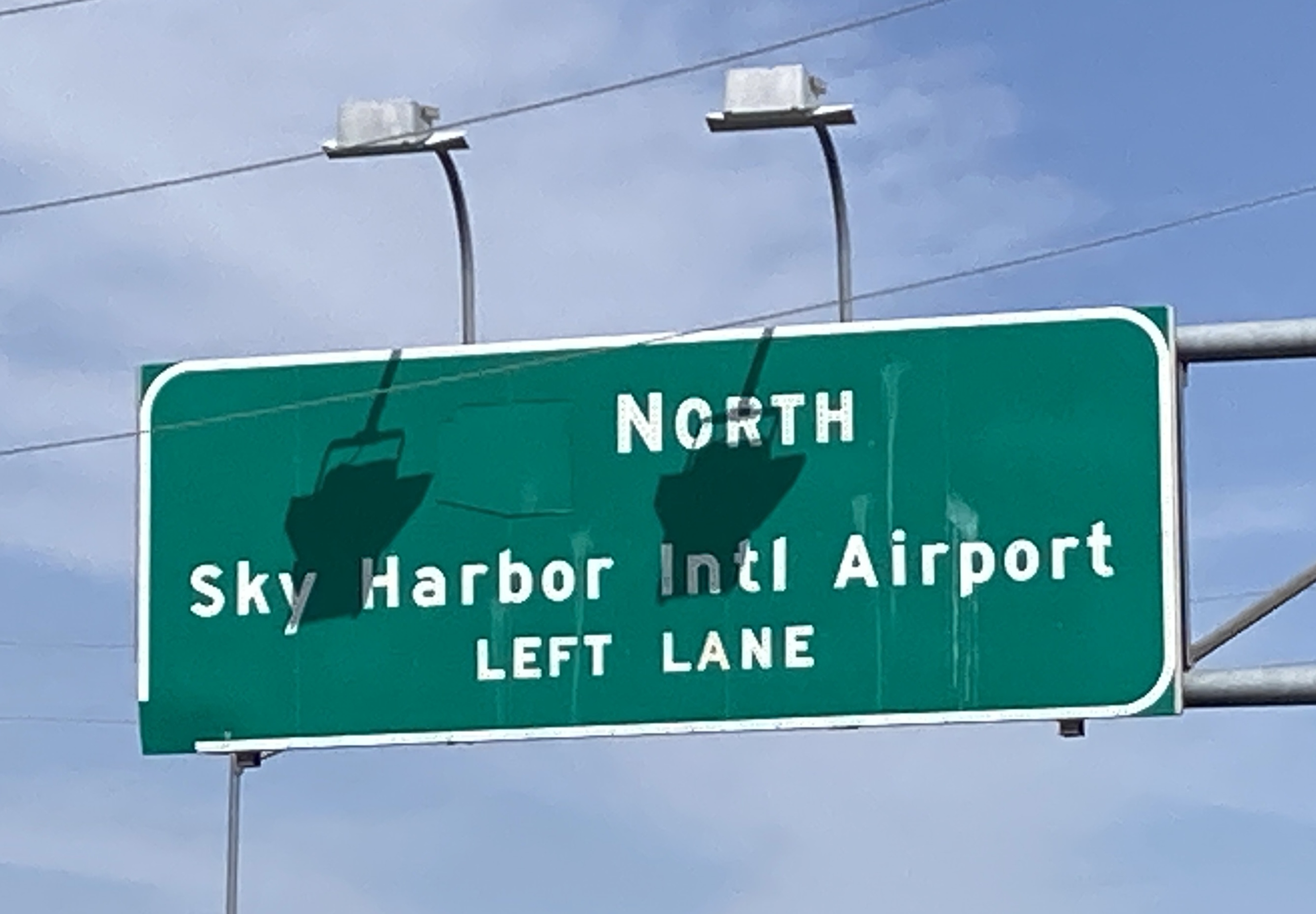
10/27/2023 - Thunderbird Rd E @ SR 51 S - Phoenix10/28/2023 - 32nd St S, north of Cheryl Dr - Phoenix10/28/2023 - 32nd St S @ SR 51 S & Northern Ave - Phoenix
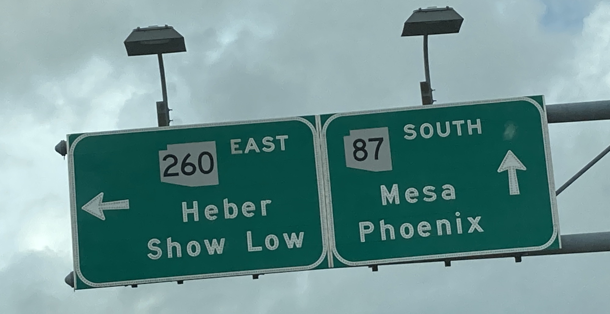
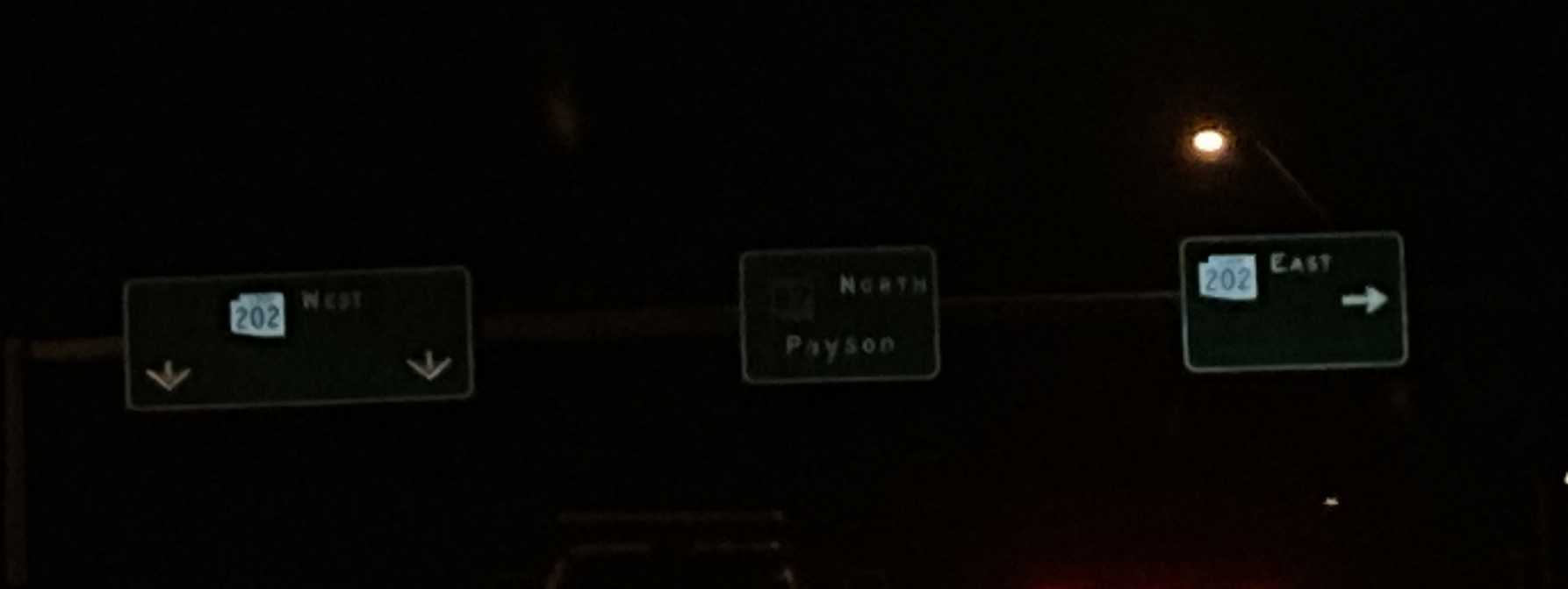
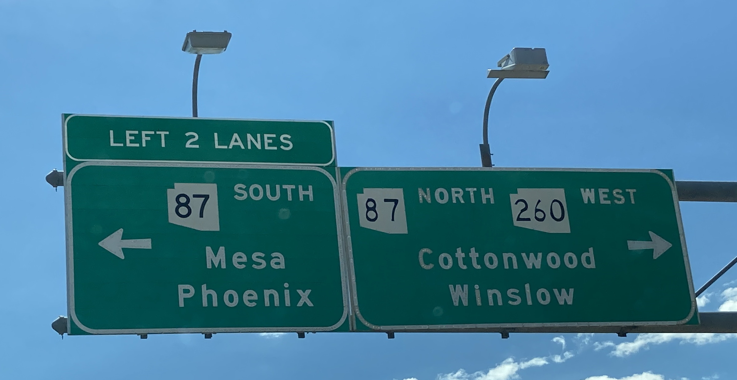
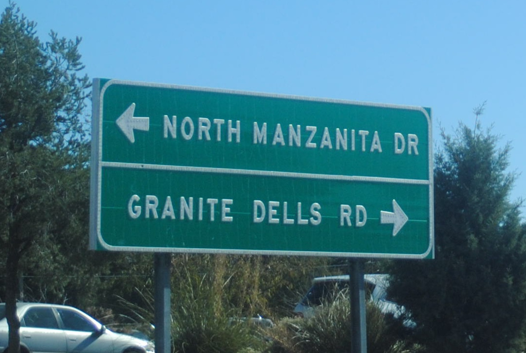
7/4/2022 - SR 260 W @ SR 87 - Payson12/9/2023 - SR 260 E @ Manzanita Dr/Granite Dells Rd - Payson
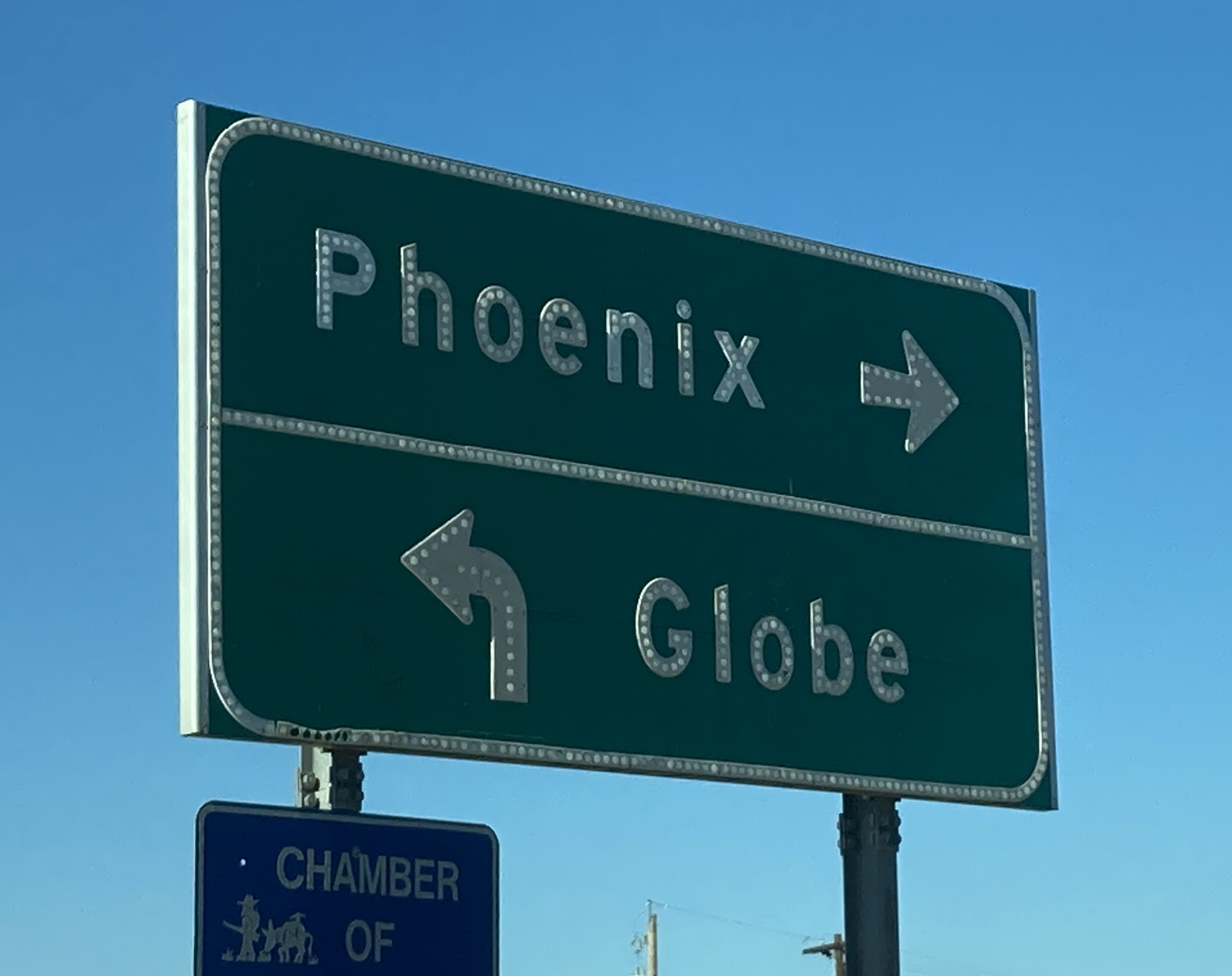
11/13/2021 - Apache Tr @ Old West Hwy - Apache Junction3/6/2022 - Stockton Hill Rd @ Beverly Ave - Kingman4/19/2023 - University Dr E @ 44th St (Former SR 153) - Phoenix4/19/2023 - University Dr W @ 44th St (Former SR 153) - Phoenix
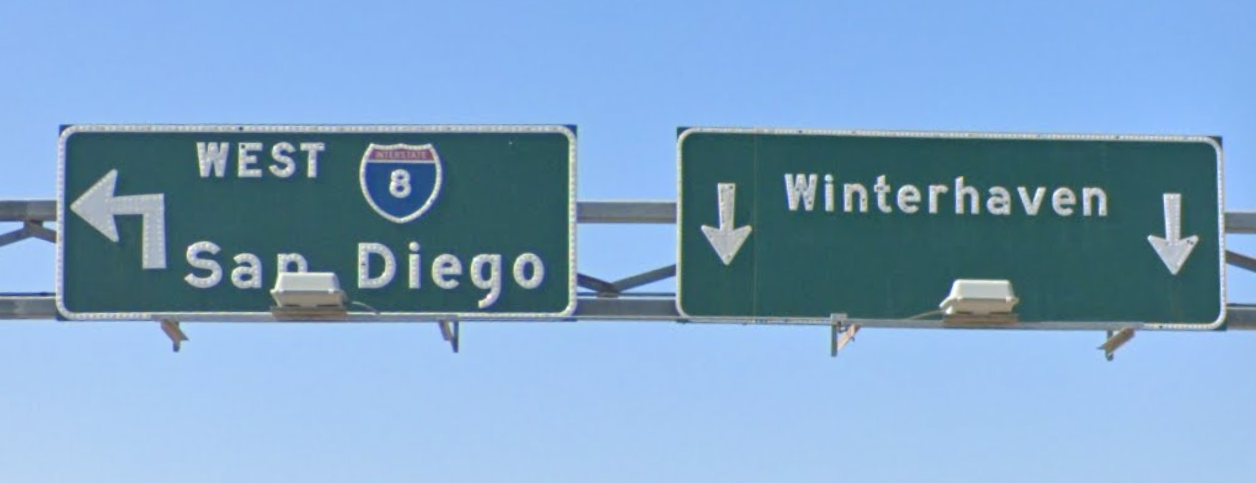
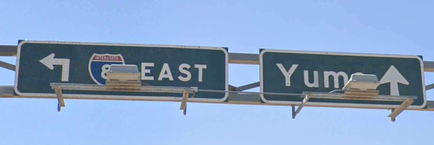
Google Maps May 2019 - Interstate 8 Business Loop @ Interstate 8 W - WinterhavenGoogle Maps Mar 2021 - Interstate 8 Business Loop @ Interstate 8 E - Winterhaven
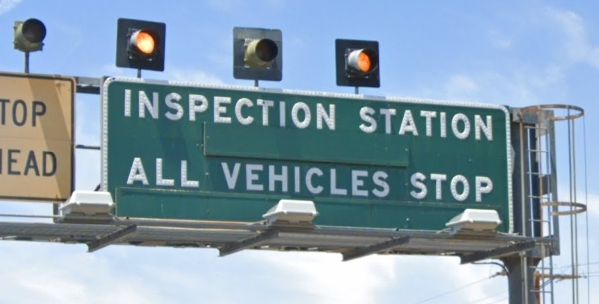
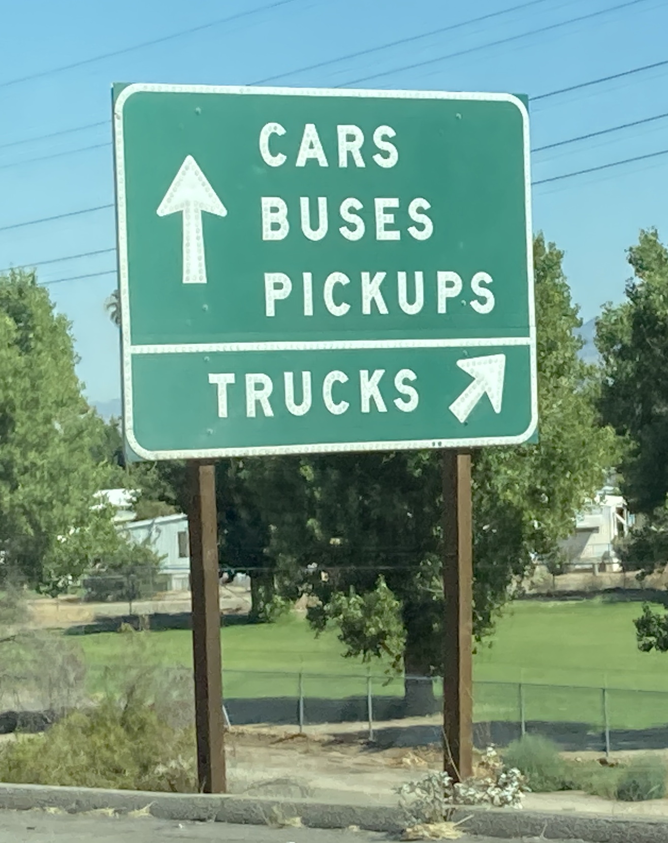
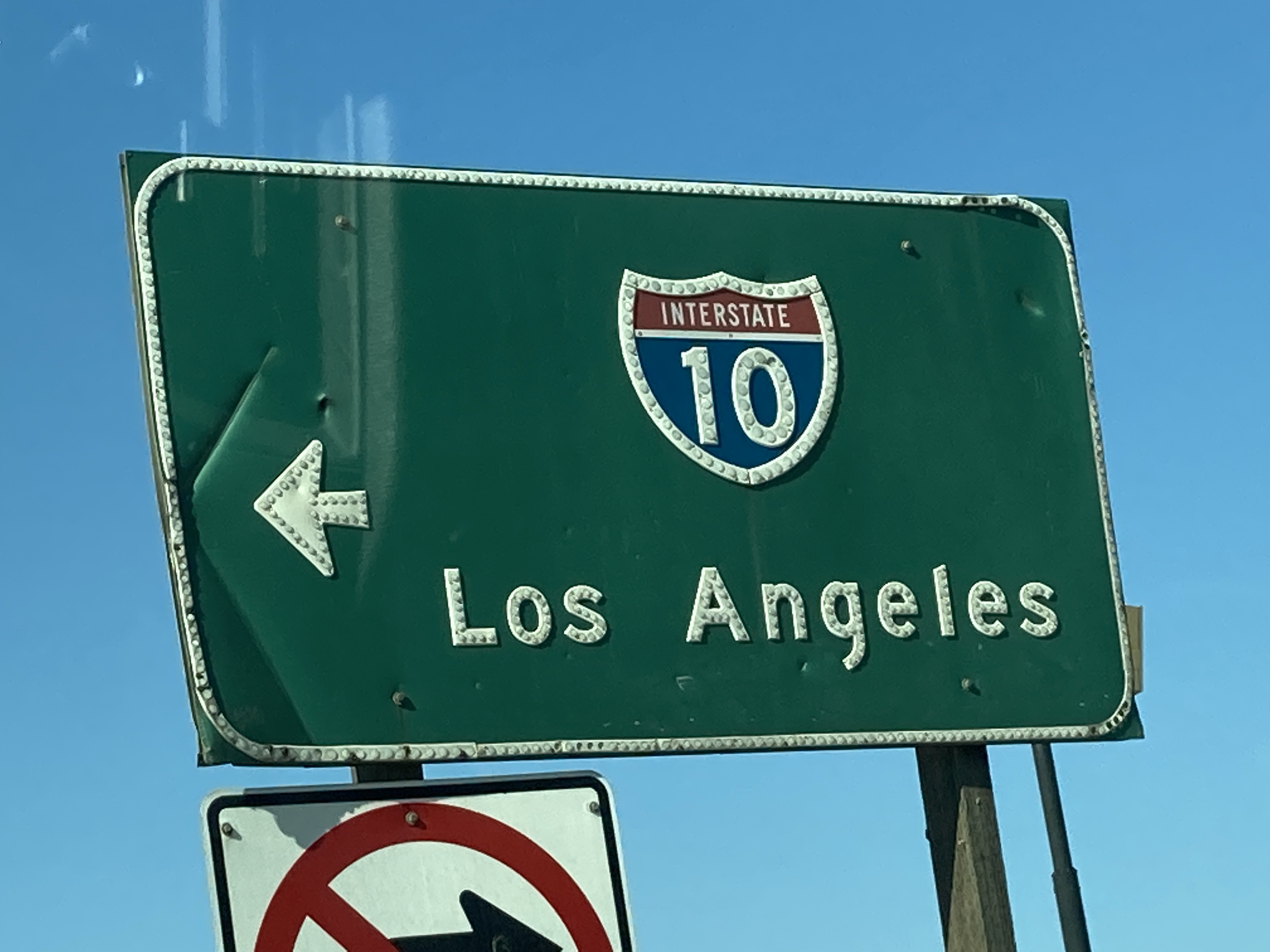
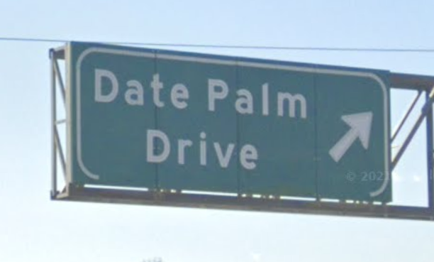
Google Maps May 2019 - Interstate 10 W @ California State Line - Blythe6/25/2021 - Interstate 10 W @ Agriculture Inspection Station - Blythe6/26/2021 - Highland Springs Ave @ Interstate 10 W - BanningGoogle Maps Apr 2021 - Interstate 10 E @ Date Palm Dr - Cathedral CityGoogle Maps Feb 2019 - Interstate 10 E @ Avenue 44 - Indio
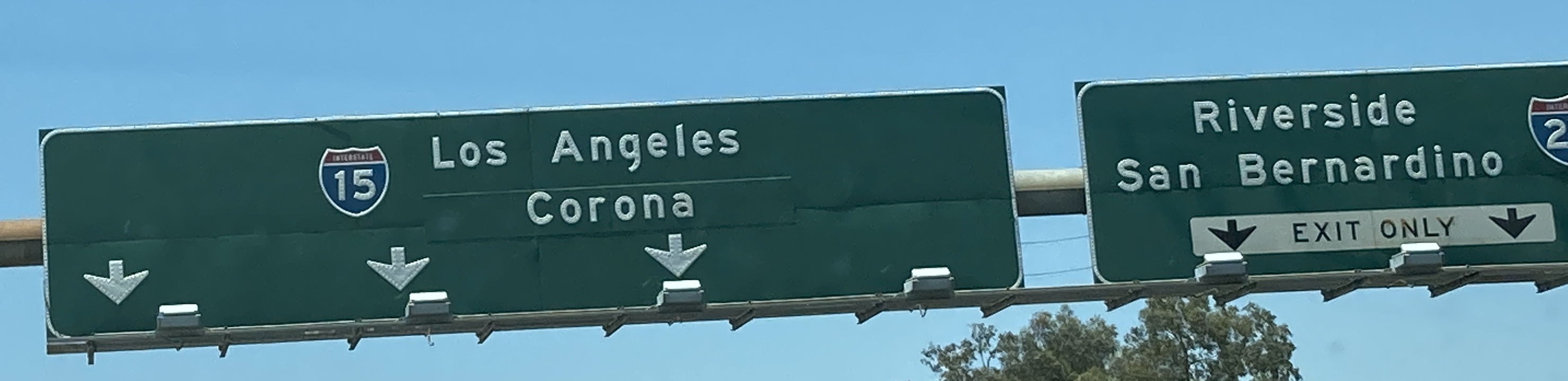
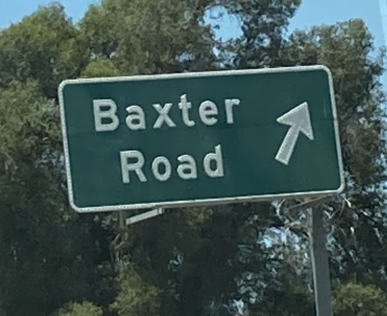
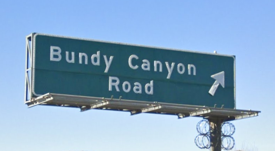
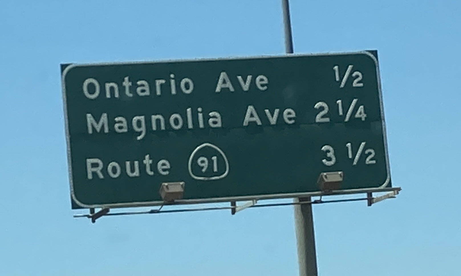
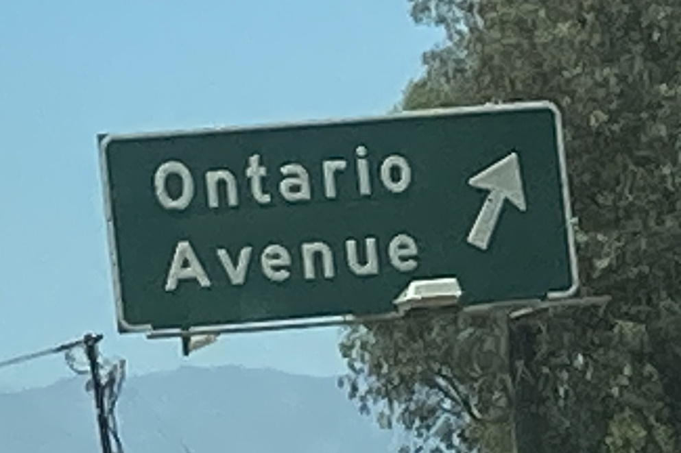
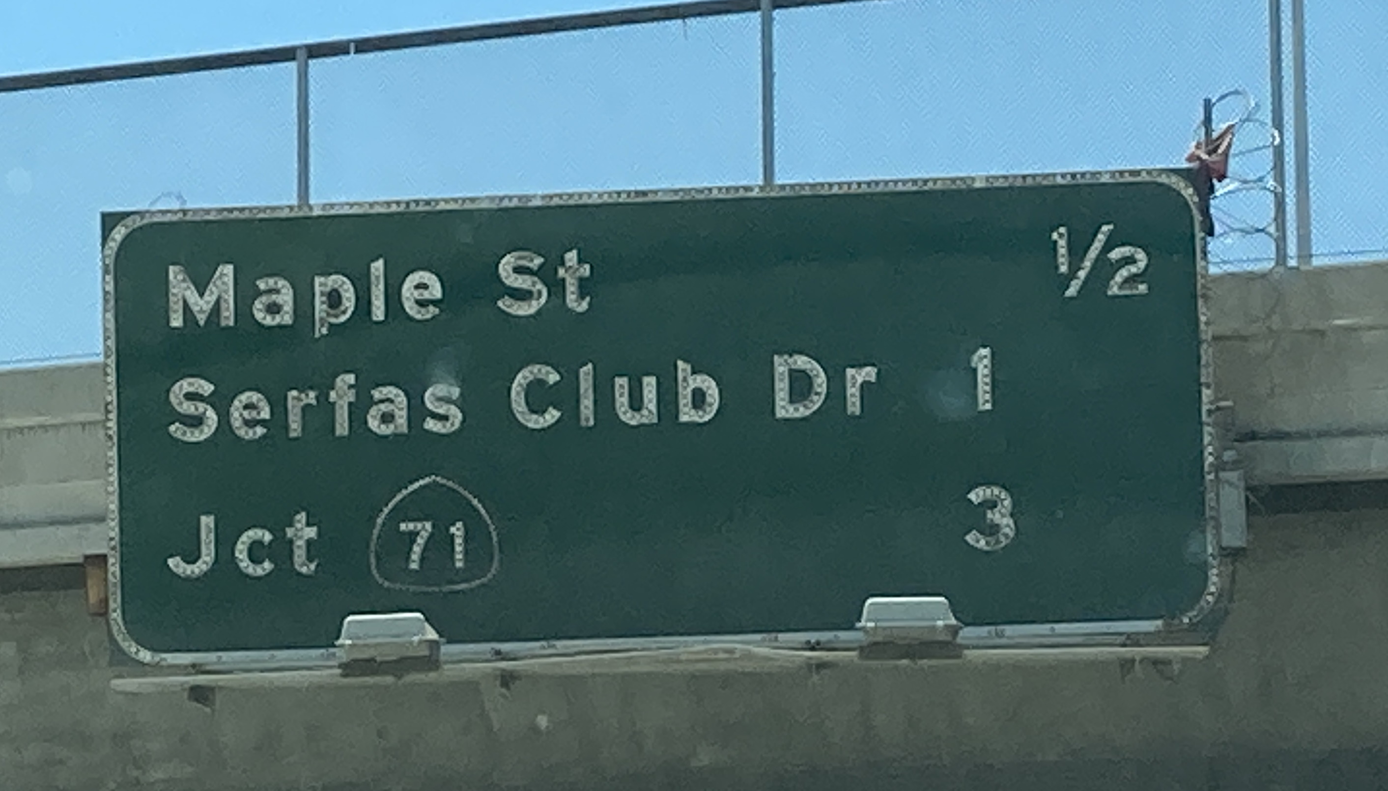
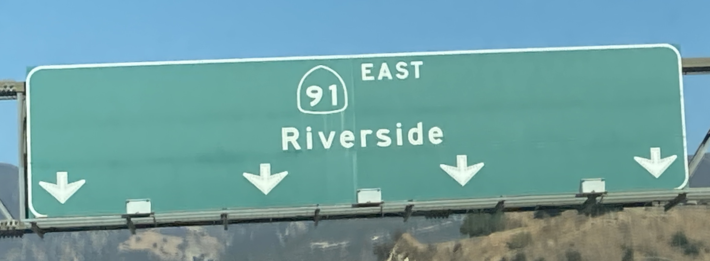
6/26/2021 - Interstate 15 N @ Interstate 215 N - Murrieta6/26/2021 - Interstate 15 N @ Interstate 215 N - WildomarGoogle Maps Mar 2021 - Interstate 15 N @ Bundy Canyon Rd - Wildomar6/26/2021 - Interstate 15 N @ El Cerrito Rd - El Cerrito6/26/2021 - Interstate 15 N @ Ontario Ave - El Cerrito6/26/2021 - Interstate 15 N @ Old Temescal Rd - Corona6/26/2021 - Interstate 15 N @ CA 91 W - Corona
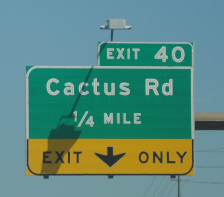
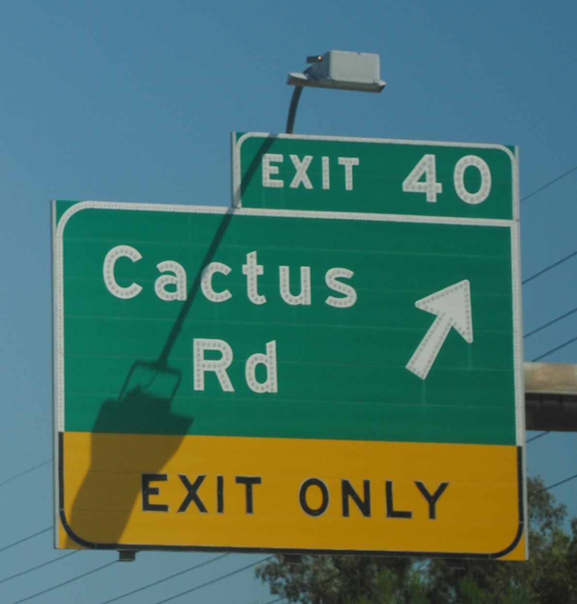
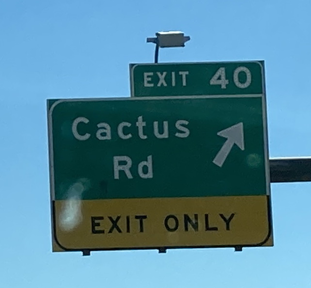
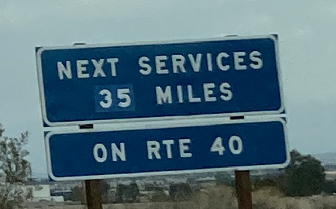
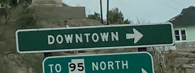
12/29/2022 - Interstate 40 W, north of Five Mile Rd12/29/2022 - Interstate 40 W, south of US 95 - Needles12/29/2022 - Interstate 40 W approaching US 95 - Needles12/29/2022 - Interstate 40 W exit ramp @ J Street - Needles
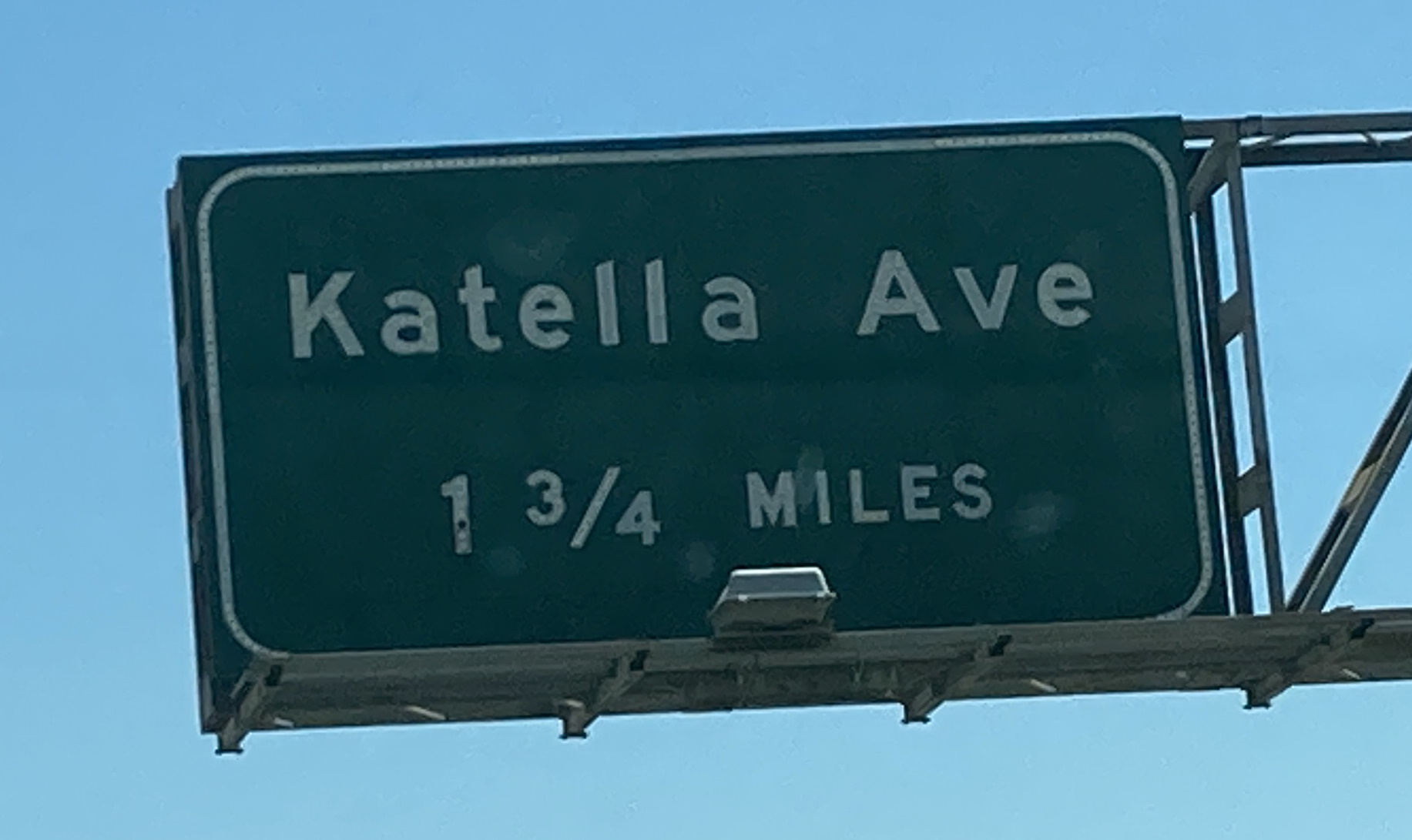
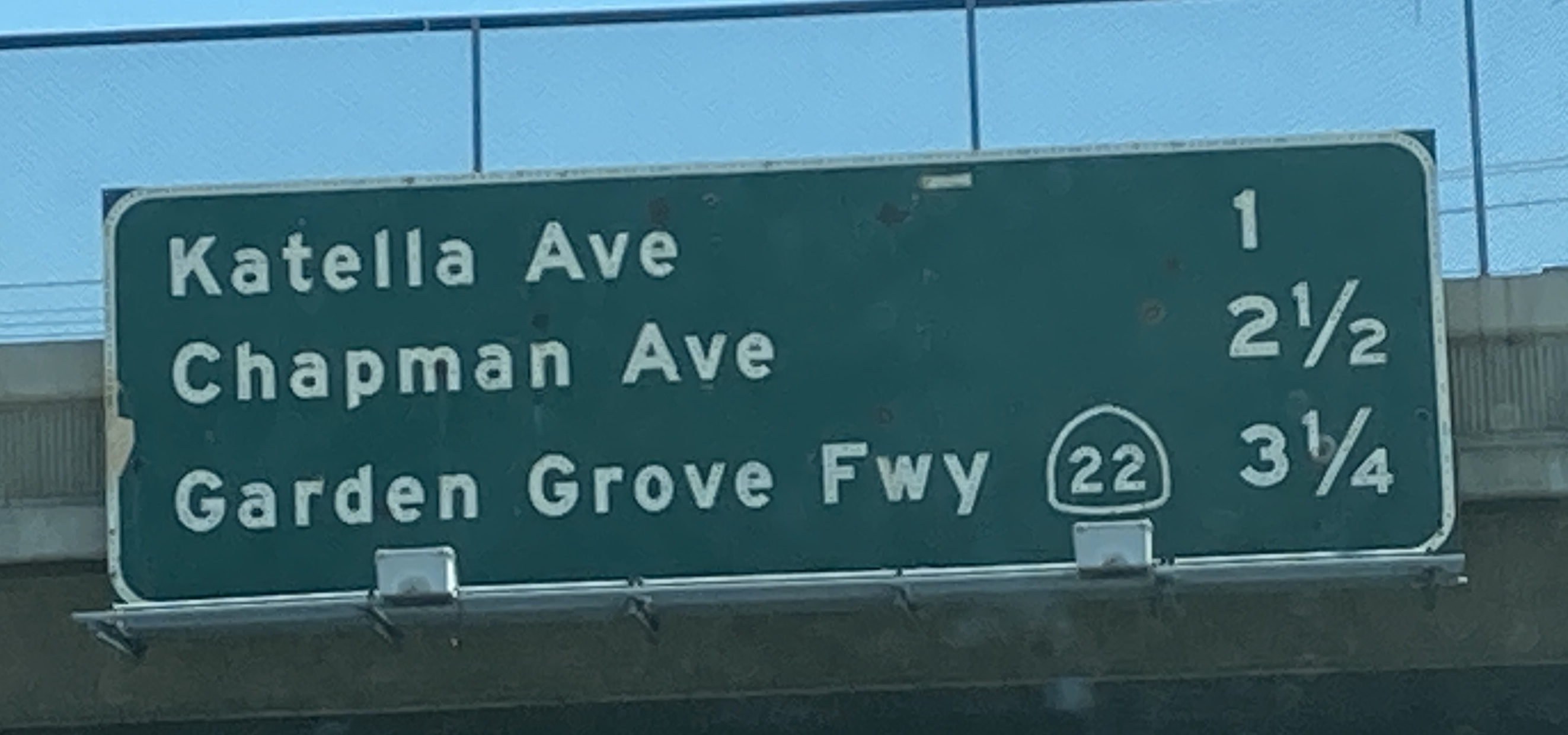
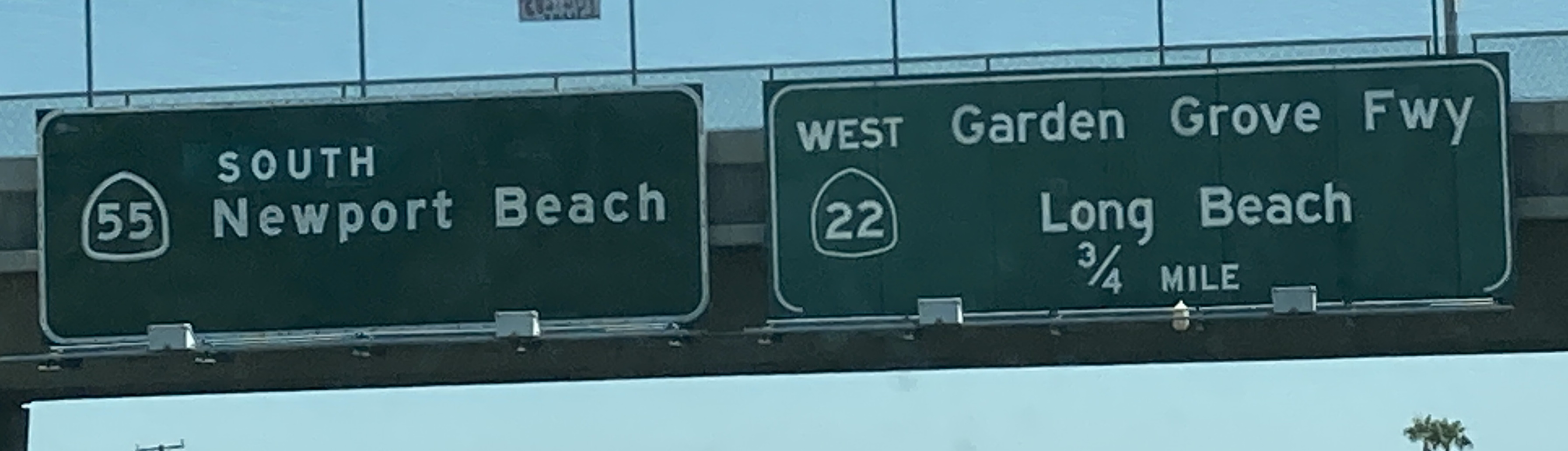
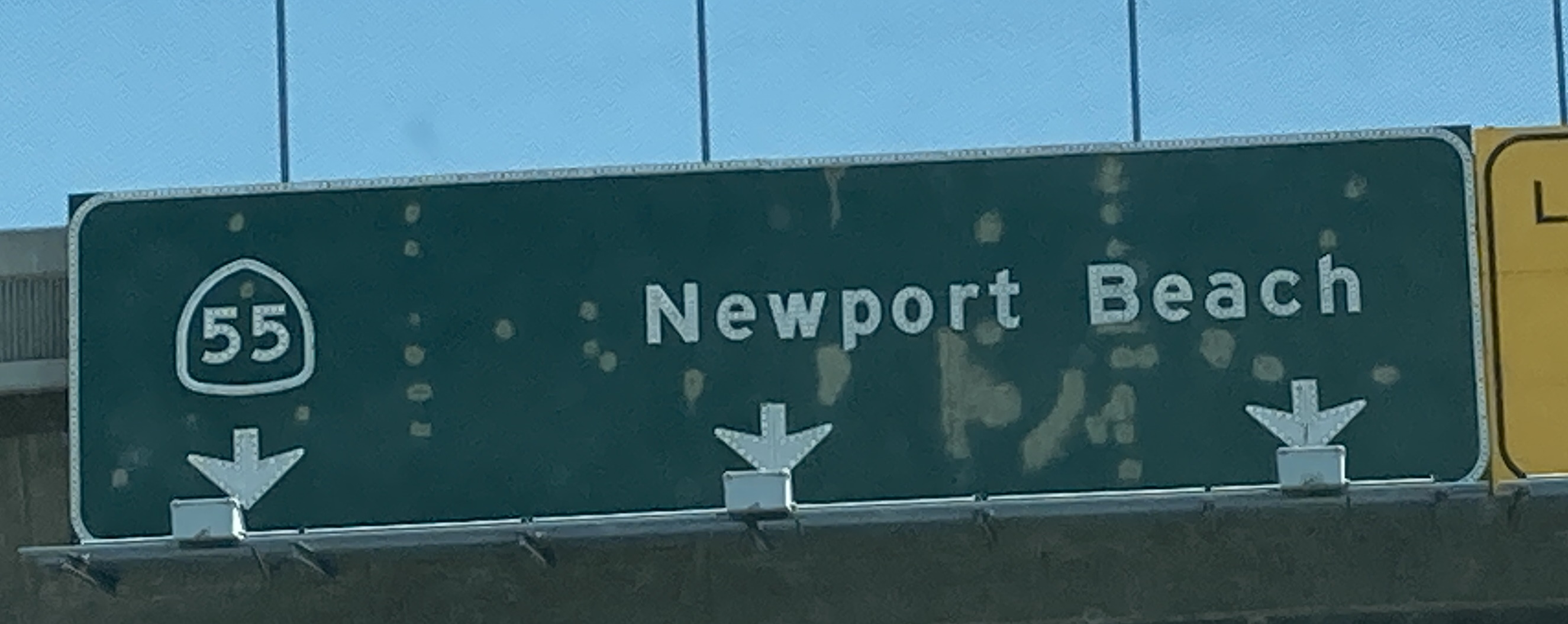
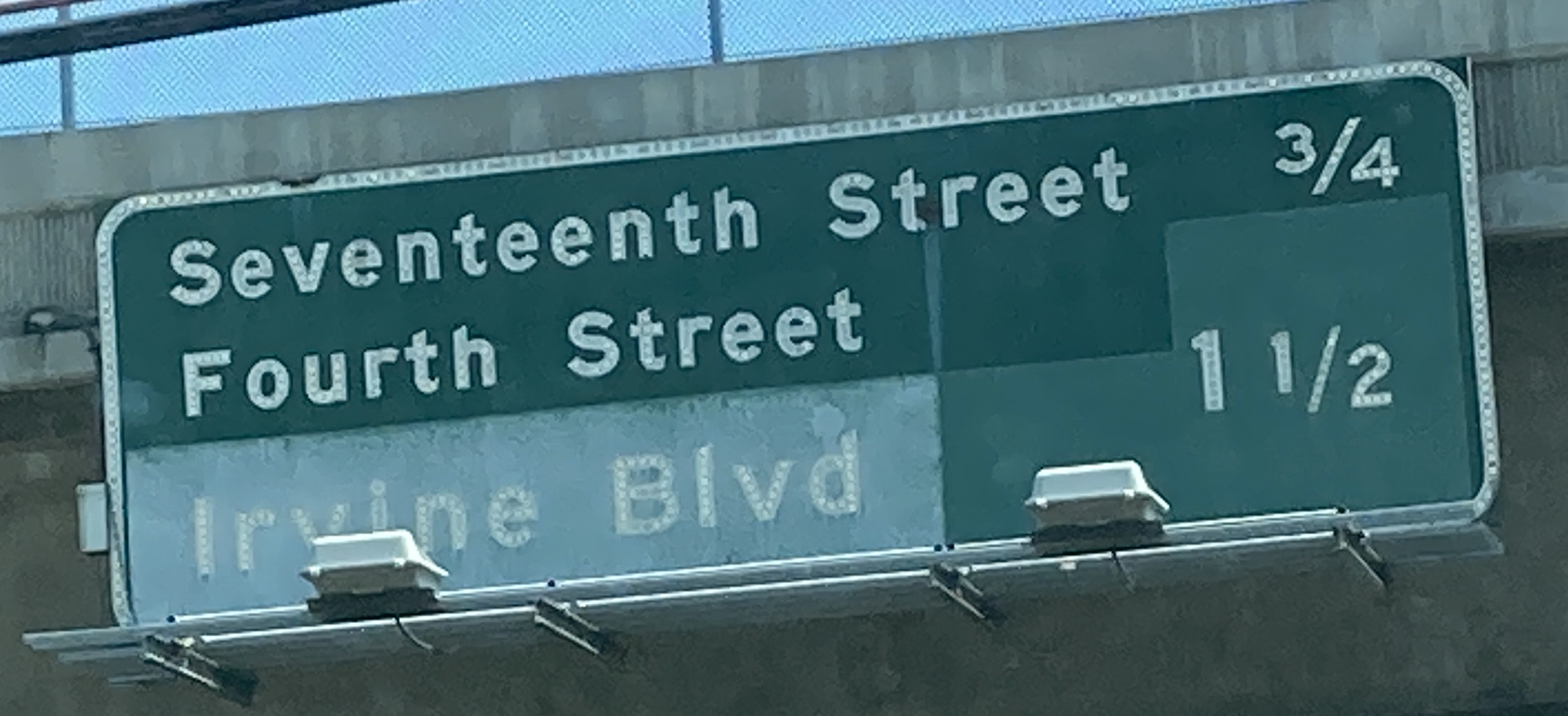
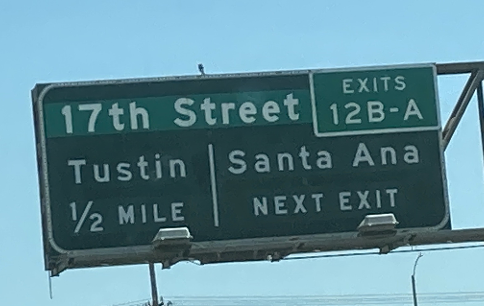
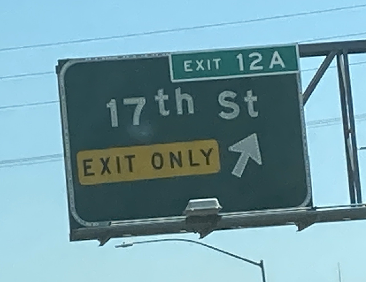
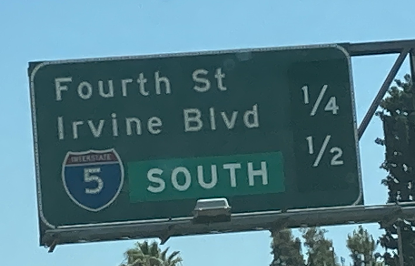
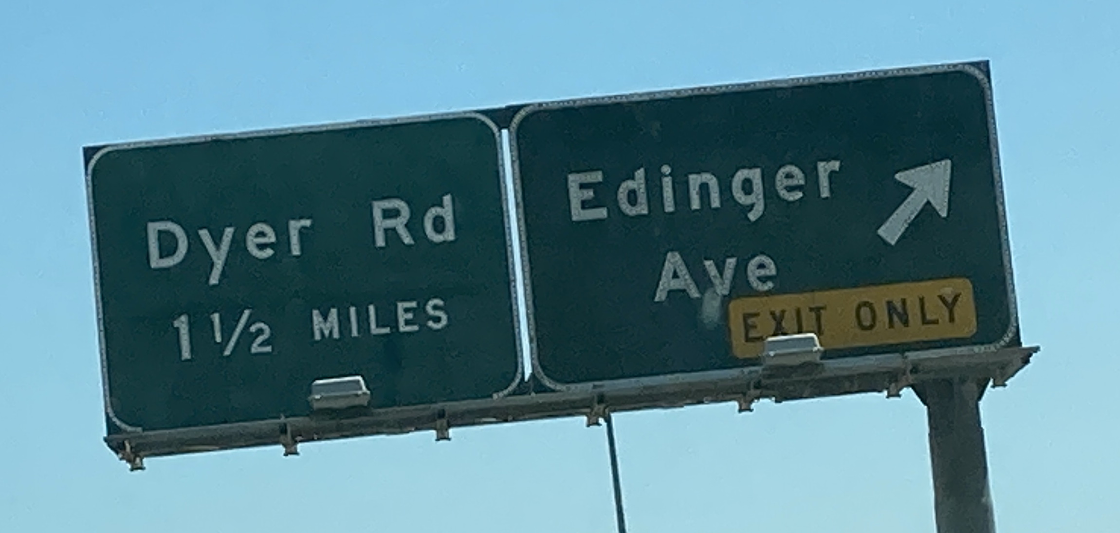
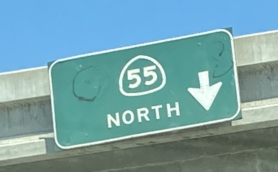
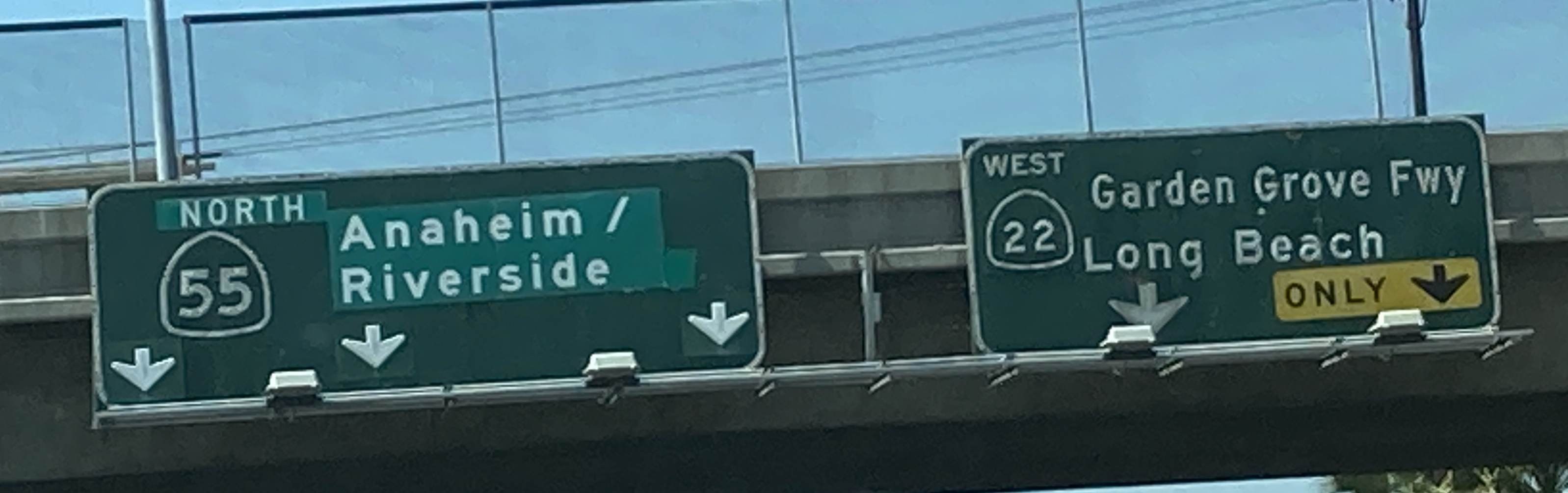
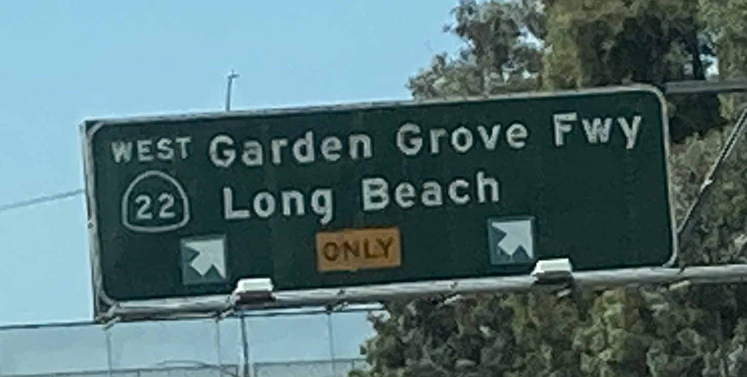
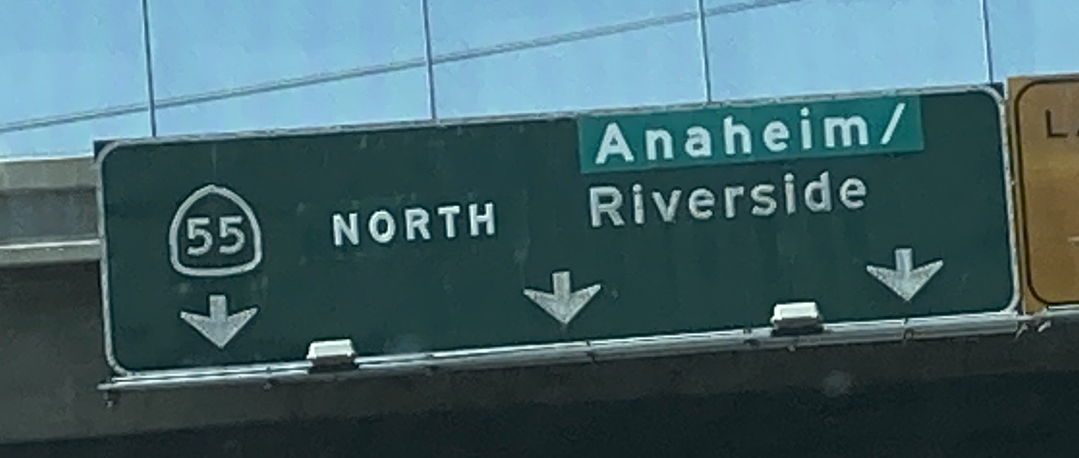
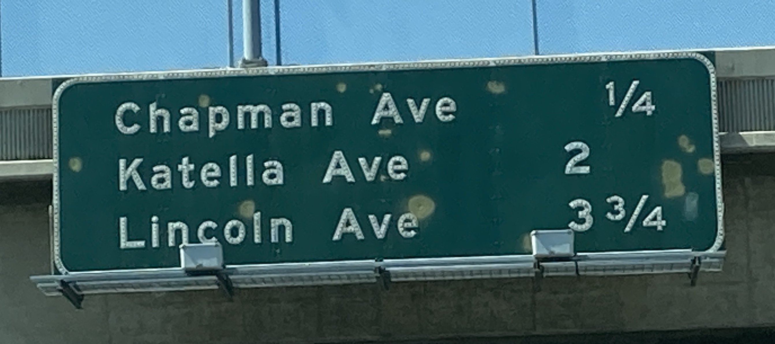
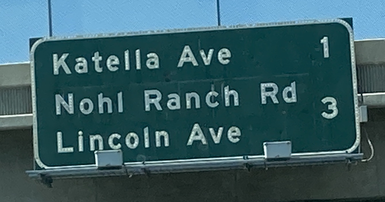
6/26/2021 - CA 55 S, north of Lincoln Ave - Orange6/26/2021 - CA 55 S @ Meats Ave - Orange6/26/2021 - CA 55 S @ Walnut Ave - Orange6/26/2021 - CA 55 S @ La Veta Ave - Orange6/26/2021 - CA 55 S @ Fairhaven Ave - Orange6/26/2021 - CA 55 S @ Santa Clara Ave - Tustin6/26/2021 - CA 55 S @ 17th St - Tustin6/26/2021 - CA 55 S, south of 17th St - Santa Ana6/26/2021 - CA 55 S @ Edinger Ave - Santa Ana6/26/2021 - Edinger Ave @ CA 55 S - Santa AnaGoogle Maps Dec 2020 - CA 55 N @ Interstate 5 - TustinGoogle Maps Mar 2021 - CA 55 N @ Main St - Tustin6/26/2021 - CA 55 N @ 17th St exit - Tustin6/26/2021 - CA 55 N @ 17th St - Tustin6/26/2021 - CA 55 N @ Santa Clara Ave - Tustin6/26/2021 - CA 55 N, south of Fairhaven Ave - Tustin6/26/2021 - CA 55 N @ Fairhaven Ave - Tustin6/26/2021 - CA 55 N @ La Veta Ave - Orange6/26/2021 - CA 55 N @ Walnut Ave - Orange6/26/2021 - CA 55 N @ Katella Ave - Orange6/26/2021 - CA 55 N, north of Lincoln Ave - Orange
Google Maps Apr 2021 - CA 79 S @ Interstate 10 E - Beaumont
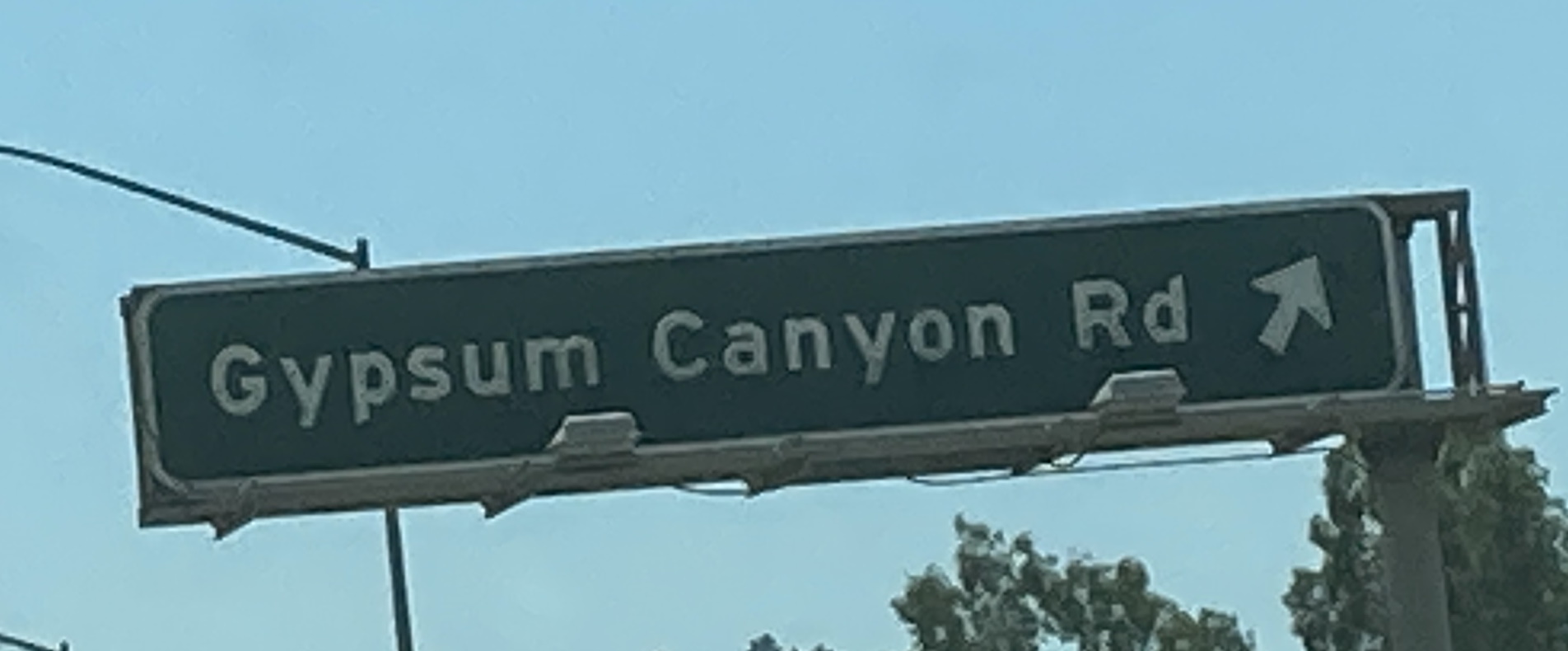
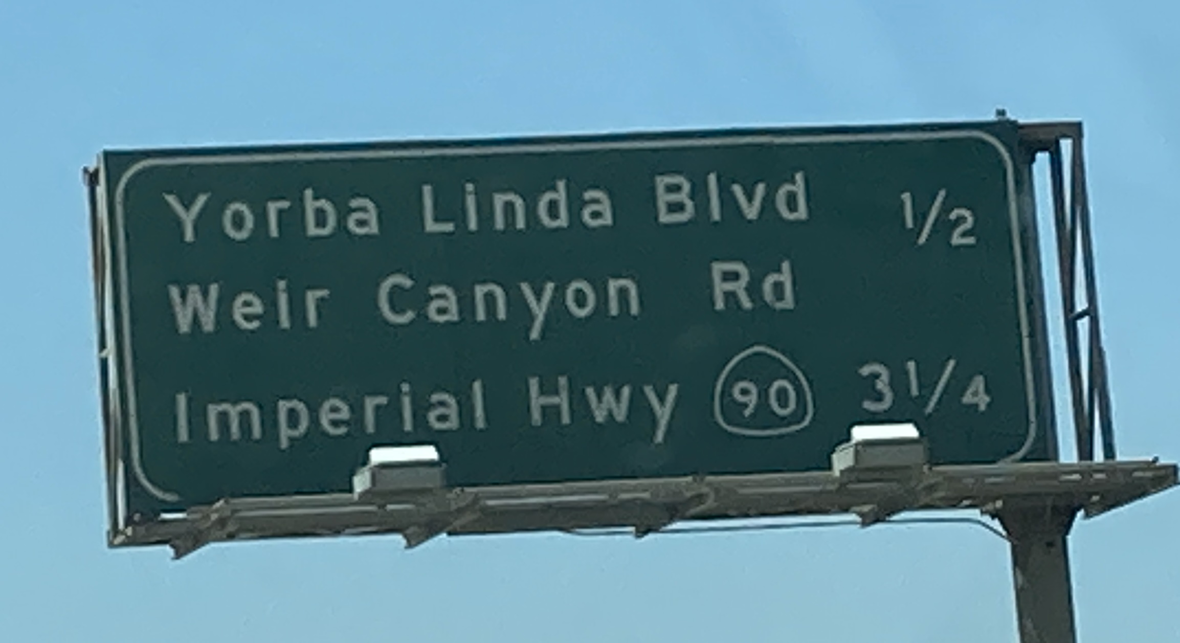
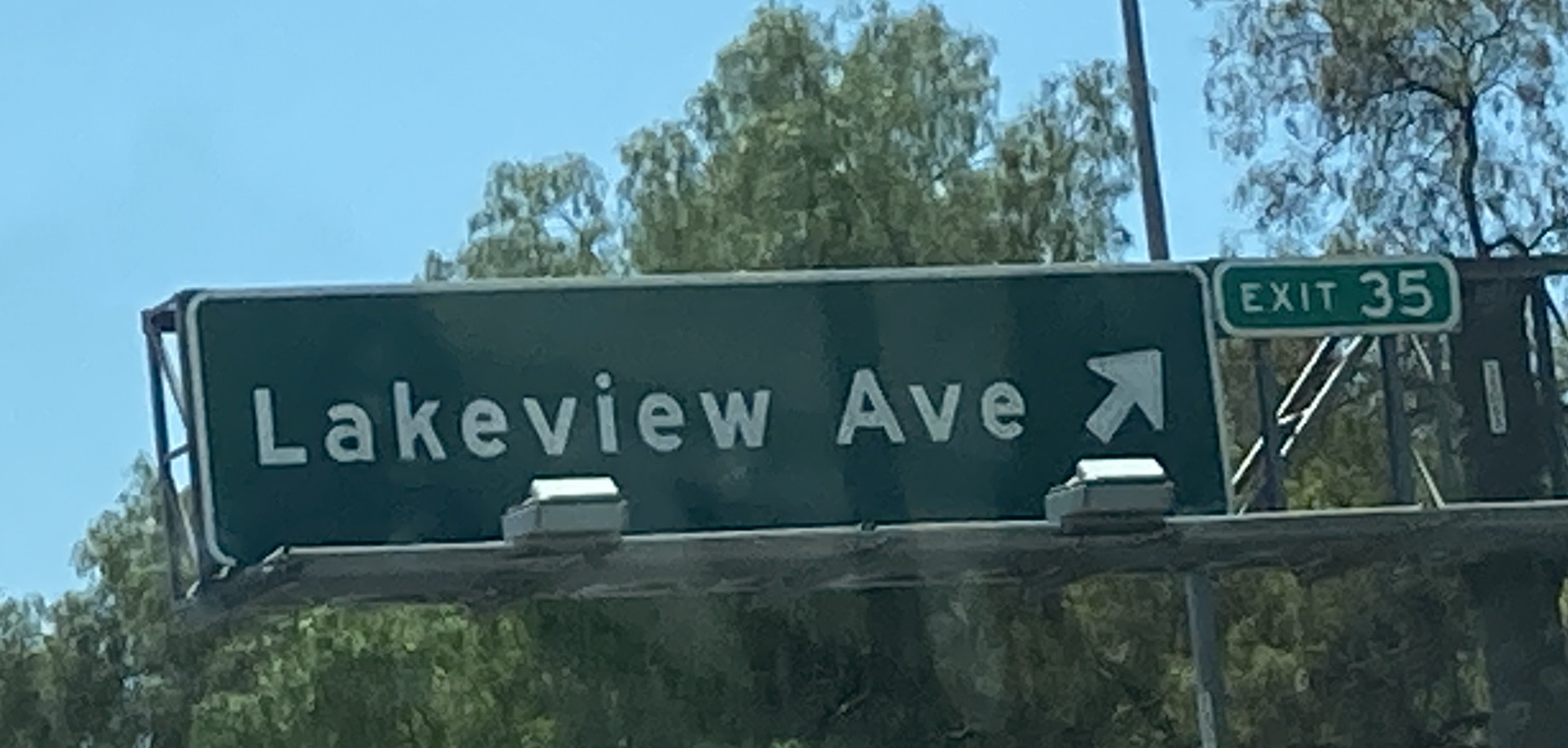
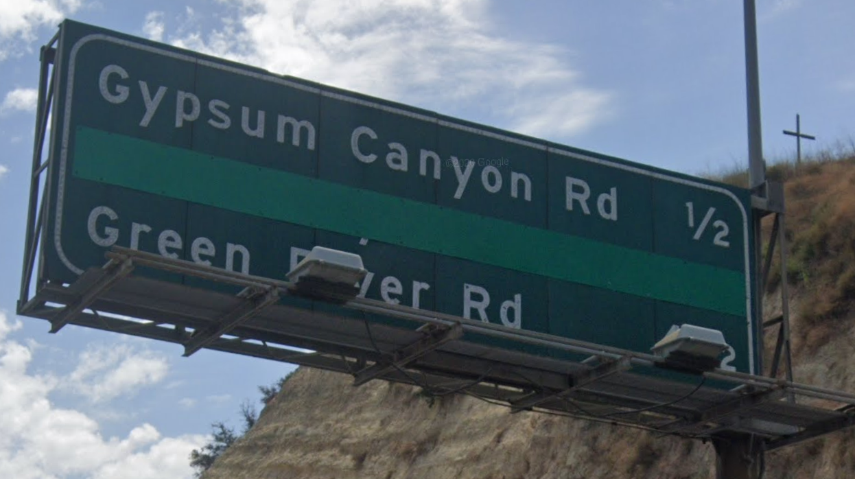
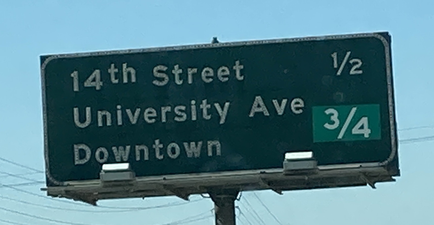
6/26/2021 - CA 91 W @ Smith Ave - Corona6/26/2021 - CA 91 W @ CA 241 South - Anaheim6/26/2021 - CA 91 W @ Gypsum Canyon Rd - Anaheim6/26/2021 - CA 91 W, west of CA 241 - Anaheim6/26/2021 - CA 91 W, east of Weir Canyon Rd - Anaheim6/26/2021 - CA 91 W @ Lakeview Ave - Anaheim6/26/2021 - CA 91 E, west of CA 241 South - AnaheimGoogle Maps Aug 2019 - CA 91 E @ CA 241 South - Anaheim6/26/2021 - CA 91 E, south of 14th St - Riverside