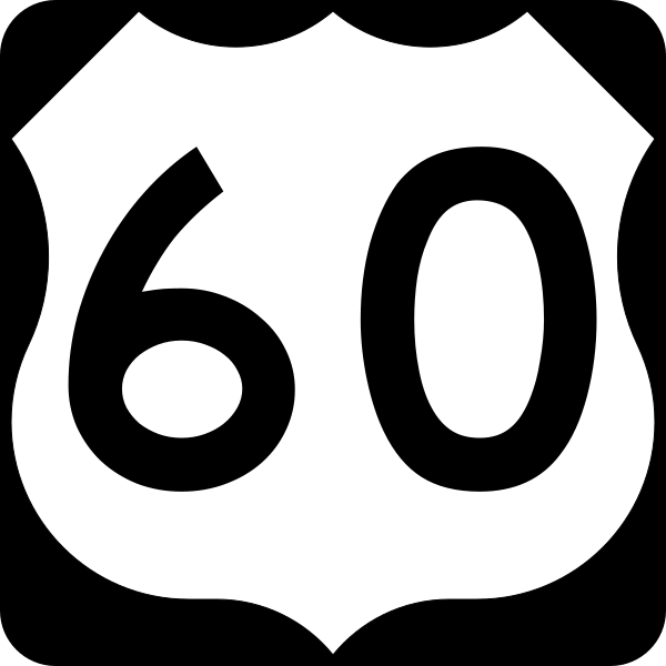
US 60
In Arizona, US 60 runs from rural western AZ near Quartzsite to New Mexico. US 60 is a pretty major cross-country highway that runs from AZ to Virginia. US 60 used to run all the way to Los Angeles, however I-10 took over most of its route past Arizona.
Length: 2,655 miles in total, 369 miles in Arizona
Existed since: 1926 nationally, 1931 in Arizona
Current Route in Arizona: I-10 east of Quartzsite to New Mexico state line
Historical Route in Arizona: California state line in Ehrenberg to New Mexico state line
Current Route Nationally: Near Quartzsite, AZ to Virginia Beach, VA
Historical Route Nationally: Los Angeles, CA to Virginia Beach, VA
Major Junctions: I-10, AZ 72, AZ 71, US 93, AZ 74, Loop 303, Loop 101, I-17, AZ 143, AZ 87, Loop 202, AZ 88, AZ 79, AZ 177, AZ 188, US 70, AZ 77, AZ 73, AZ 260, AZ 61, US 180, US 191
Cool Features
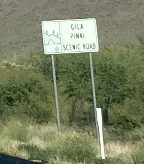
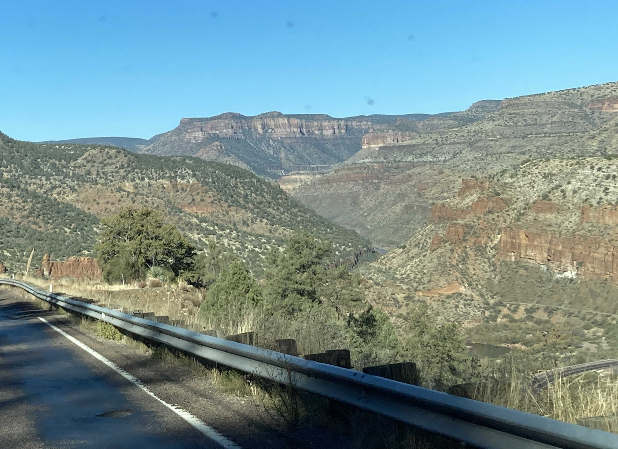
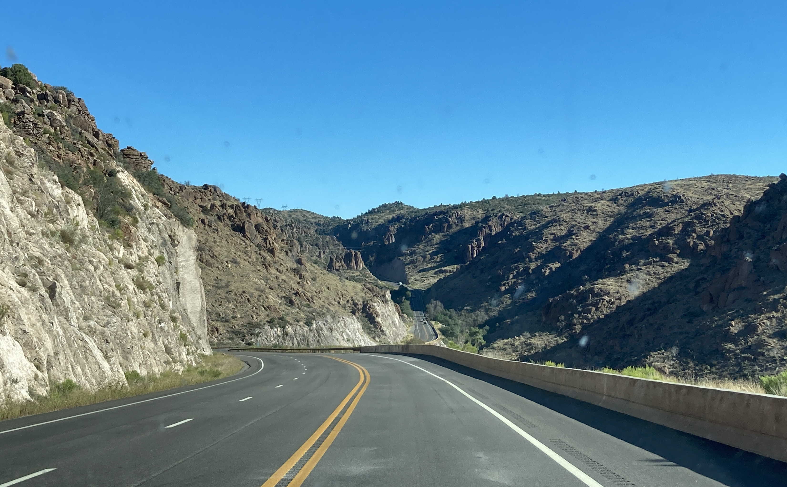
US 60 east of Phoenix has many mountainous segments. There are many cool bridges, tunnels, winding curves, and views. The highway is named the Gila Pinal Scenic Road likely for its scenic views in both Gila and Pinal Counties.
Old Superior-Miami Highway
US 60 was originally routed on the old Superior-Miami Highway, which opened in April 1922. Due to the route's dangerous turns, cliffs, and grades, the old highway was replaced in 1952 by the current routing of US 60. The original Claypool Tunnel was also replaced with the current Queen Creek Tunnel.
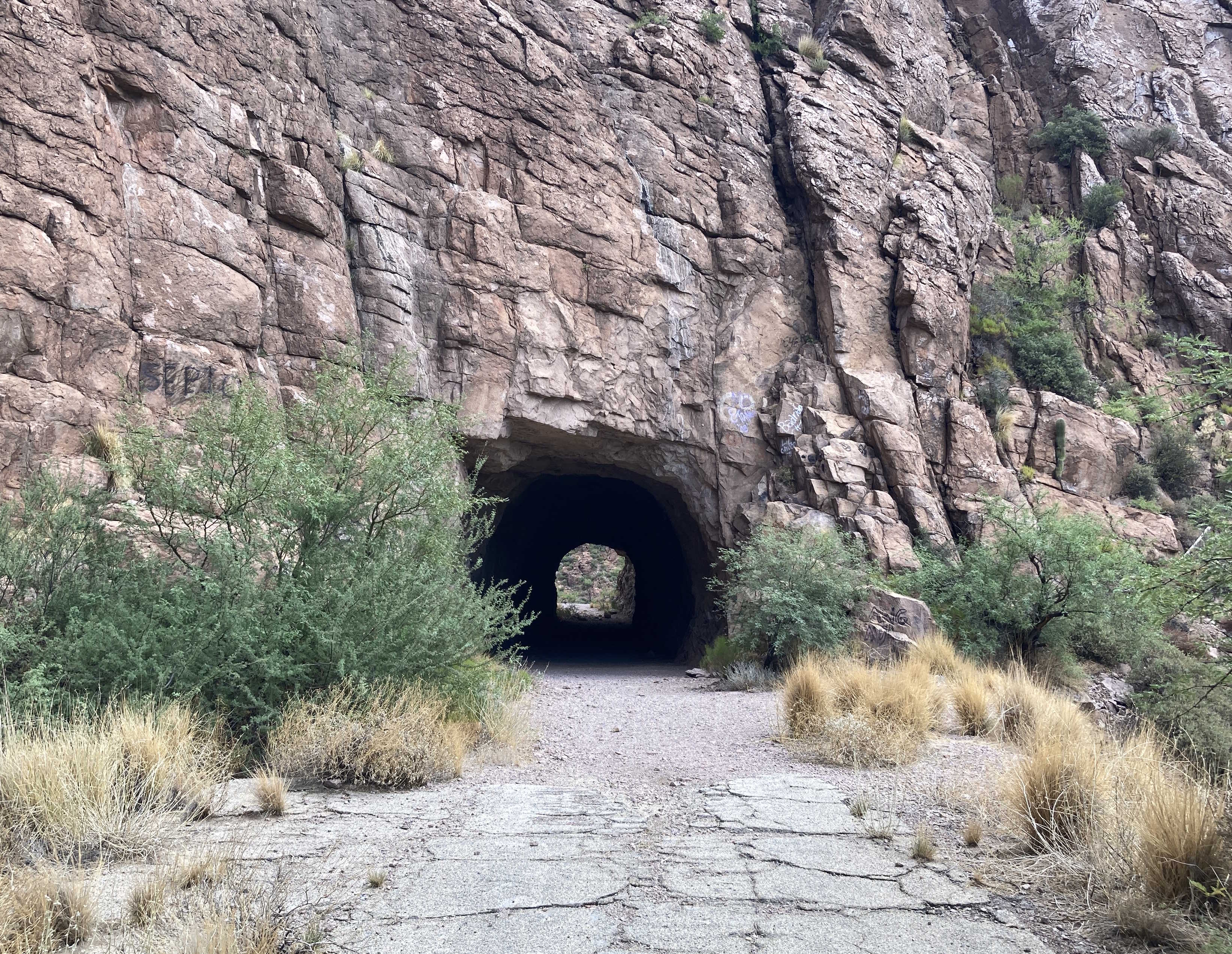
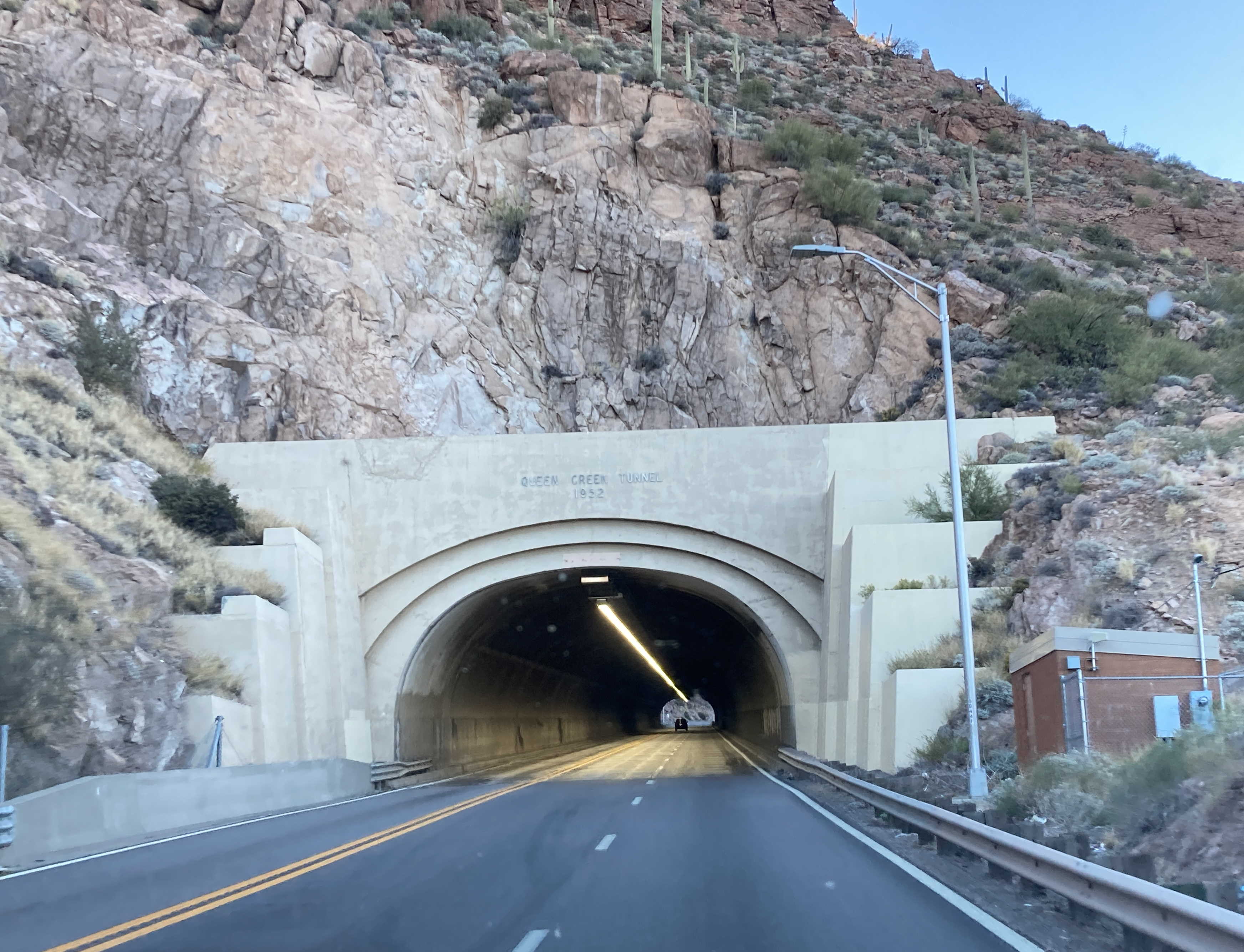
The new routing of US 60 now has a larger arch bridge across Queen Creek.
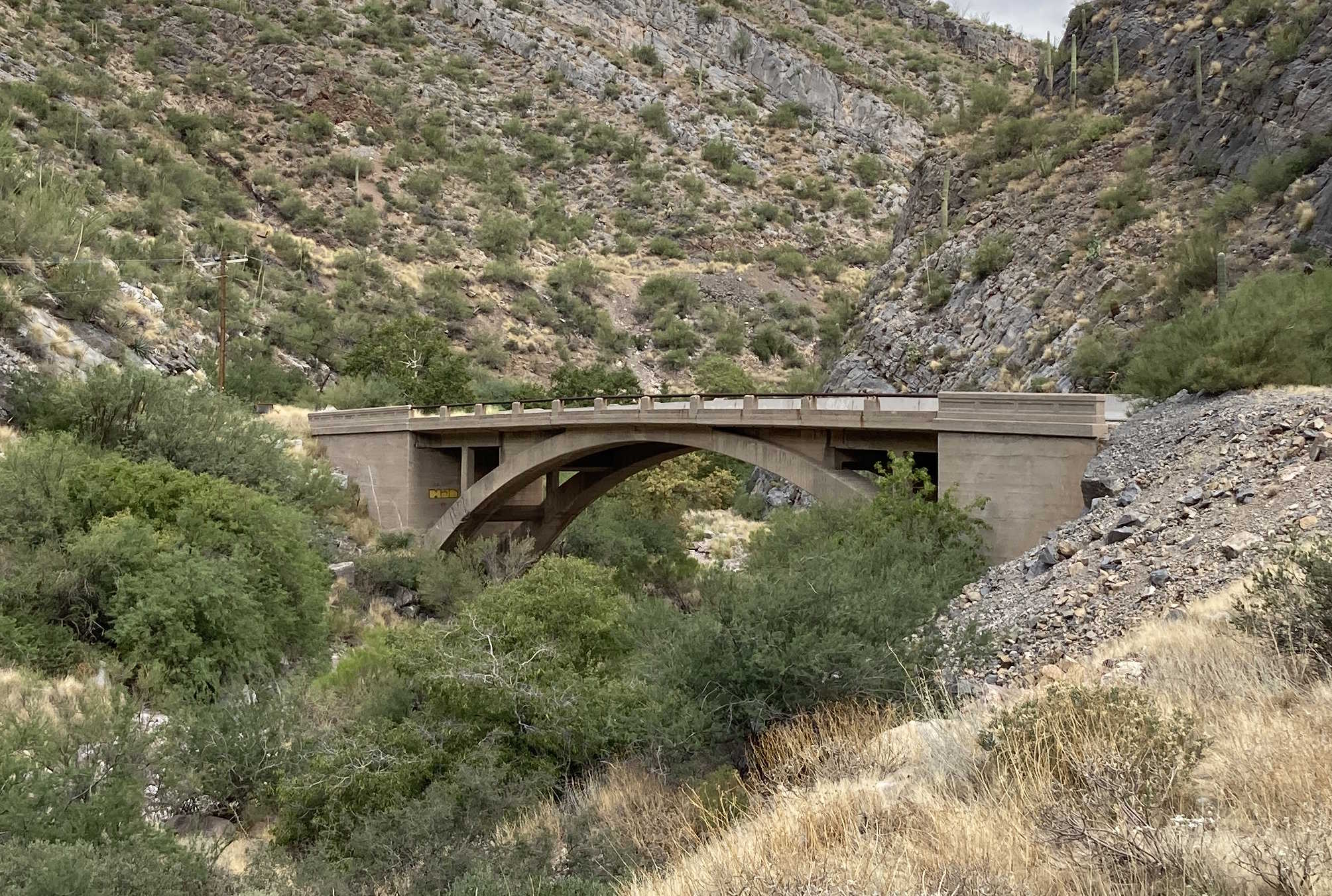
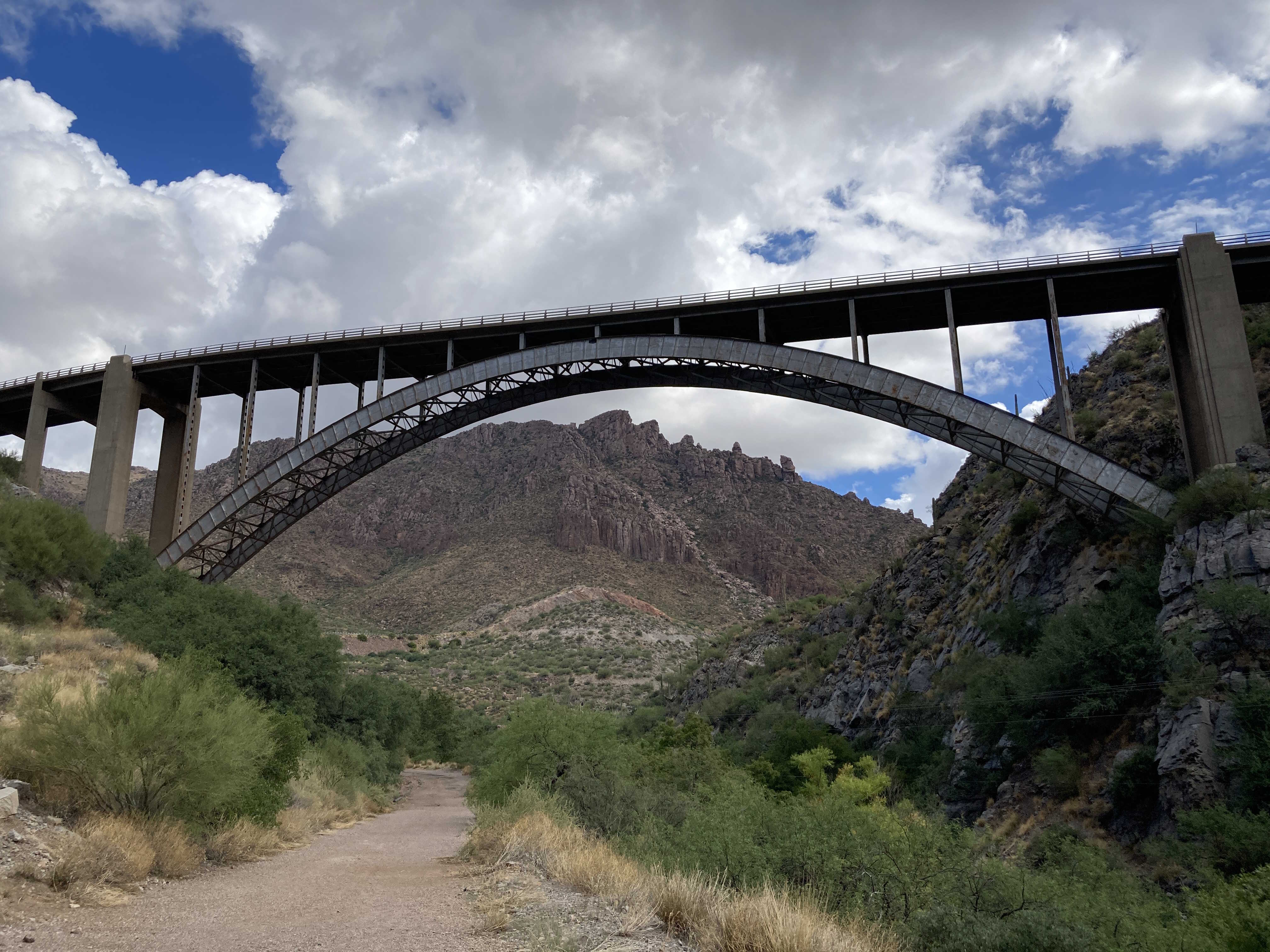
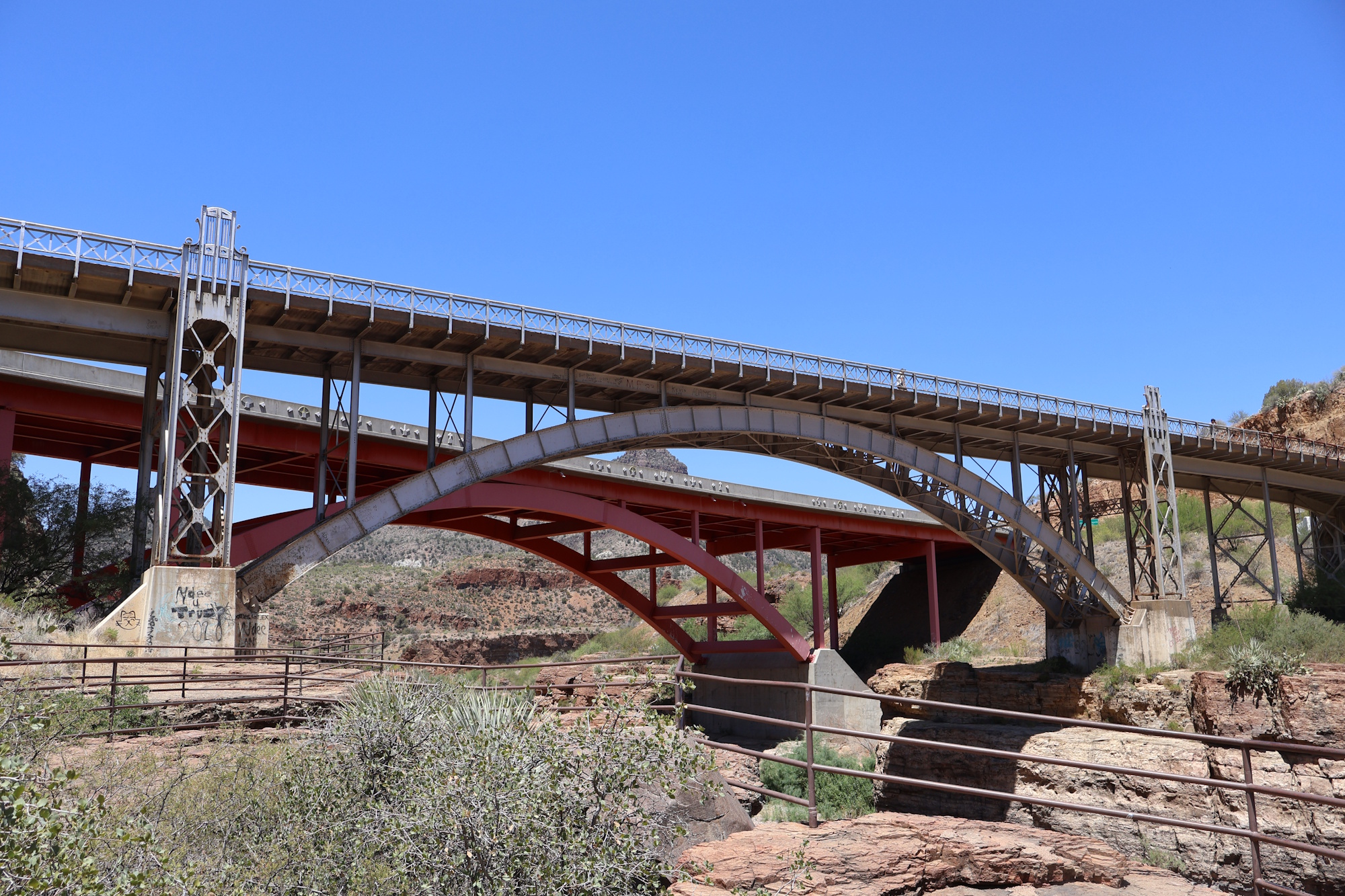
Bridges
One of the cool bridges on US 60 was the 1949 award winning Pinto Creek Bridge. You can view images of it on Arizona Roads. However, in 2021 ADOT has replaced the bridge with a modern bridge as the old one had reached the end of its useful life. You can see pictures of the new bridge here on the ADOT Flickr:
US 60, along with SR 77 goes through Salt River Canyon. The old bridge pictured below was replaced by the new, wider bridge in the late 90s. The old bridge is now a pedestrian bridge.
Extras
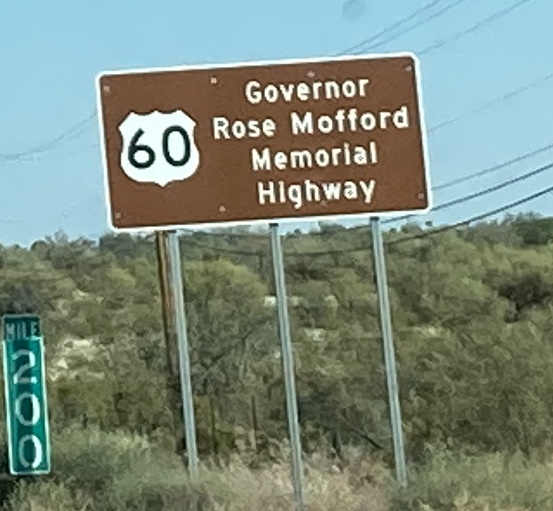
US 60 is also named in memory of Governor Rose Mofford east of Phoenix.
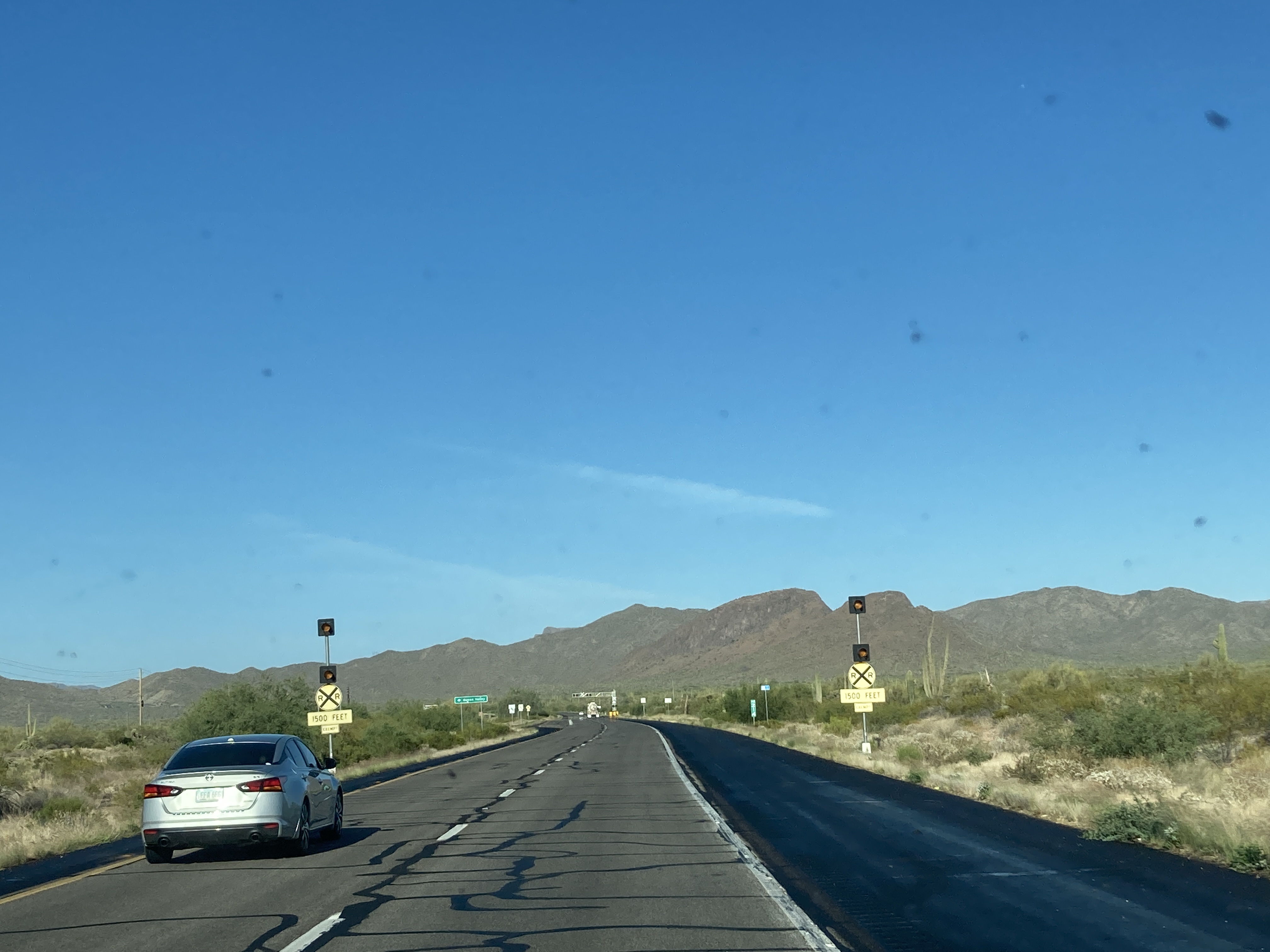
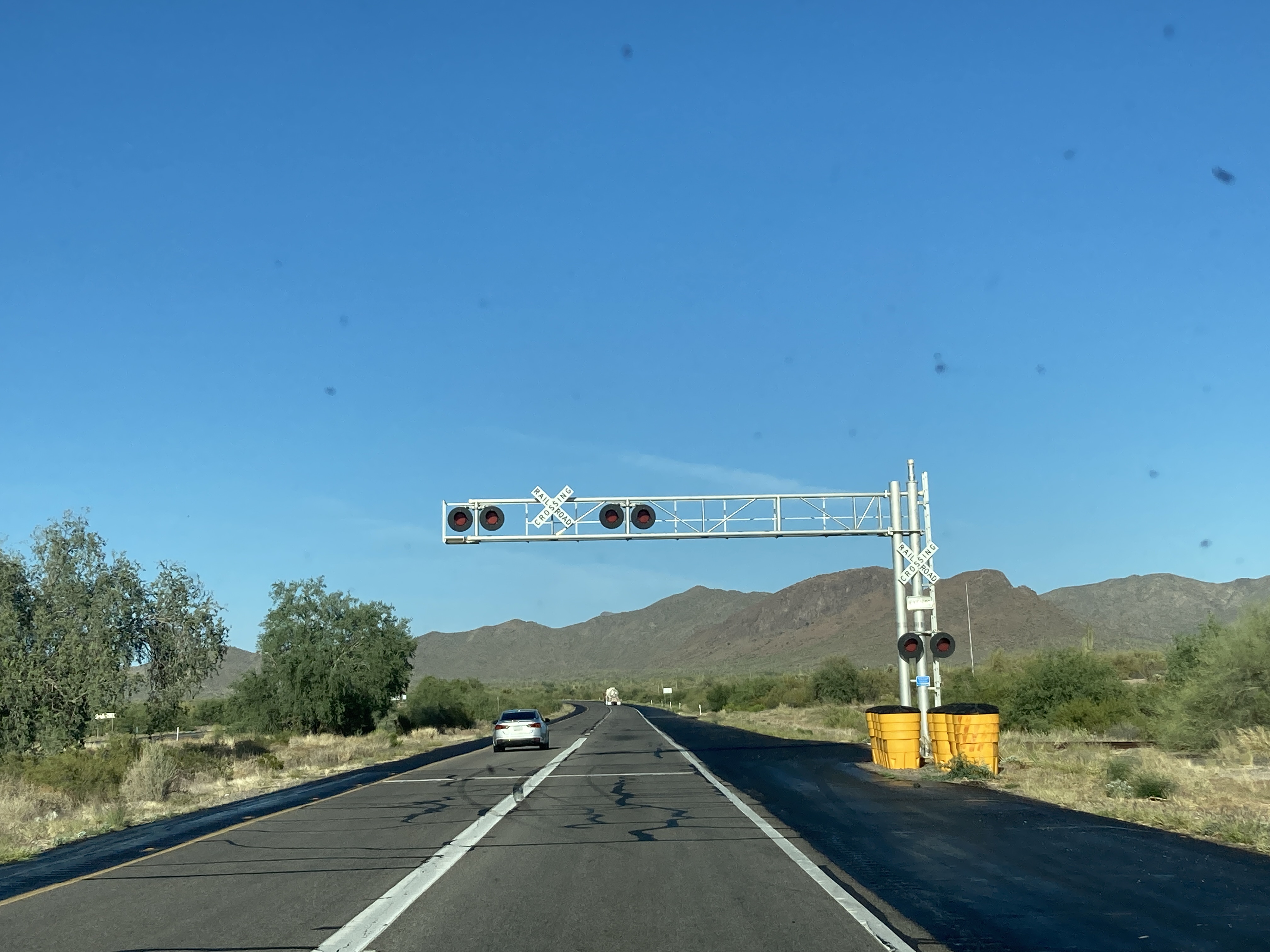
Between State Route 79 and the town of Superior, there is an exempt railroad crossing on US 60.
Related Routes
US 60X
US 60X is an unsigned route, listed by ADOT as two separate segments. Both of these segments are portions of the original alignment of US 60 through the Phoenix area. The first US 60X segment begins at Exit 160 on Grand Avenue and follows it southeast, ending at the intersection with 18th Ave and Willetta St. The second segment of US 60X is in Mesa and runs along Main St/Apache Trail from Sossaman Rd to Meridian Dr. An interesting feature of these segments is that they have mile markers posted, likely from the previous US 60 alignment.
Pictures
9/10/2021 - US 60 East, west of Mesa Dr - Mesa
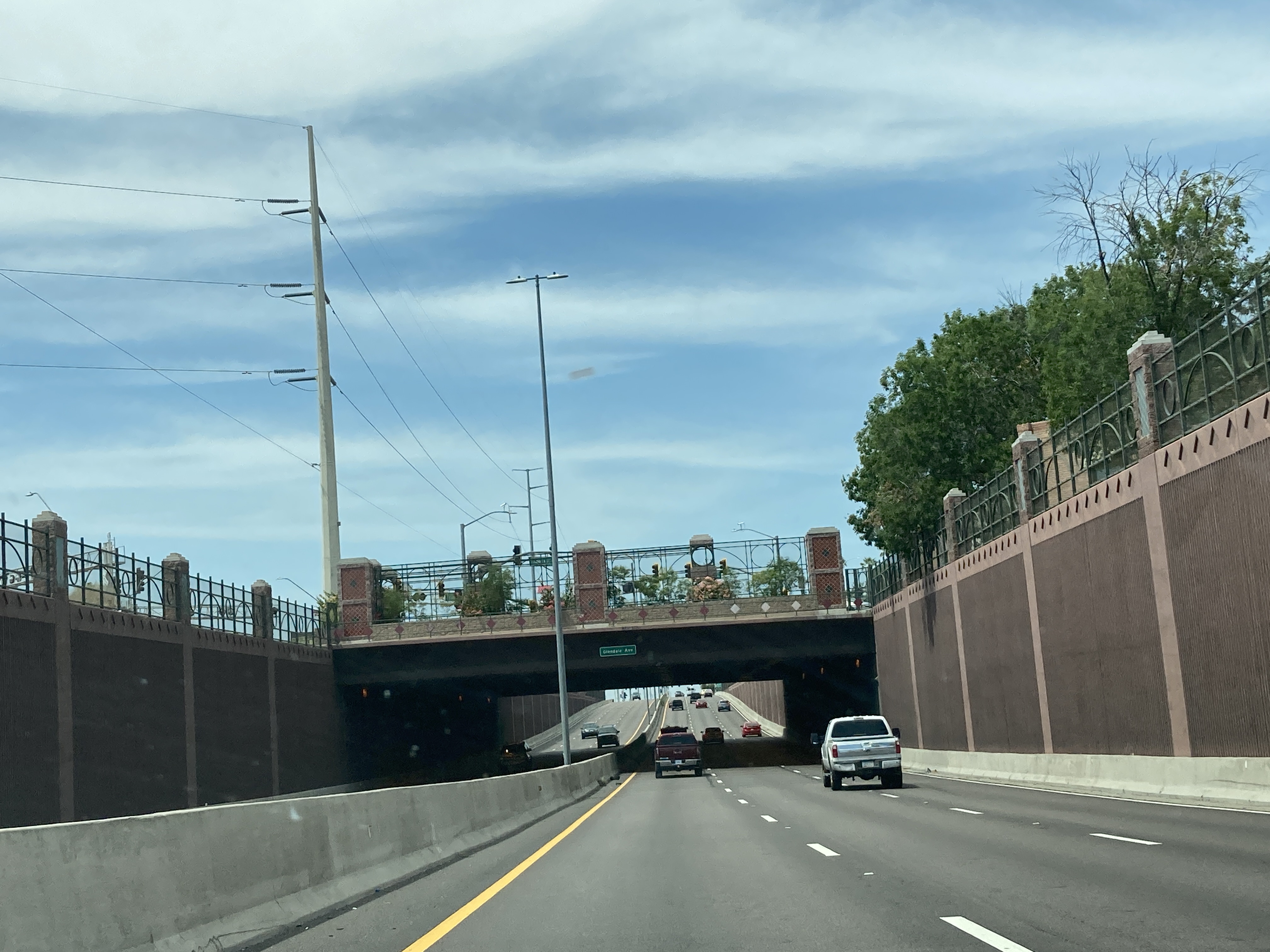
8/28/2021 - US 60 West @ 59th Ave & Glendale Ave - Downtown Glendale
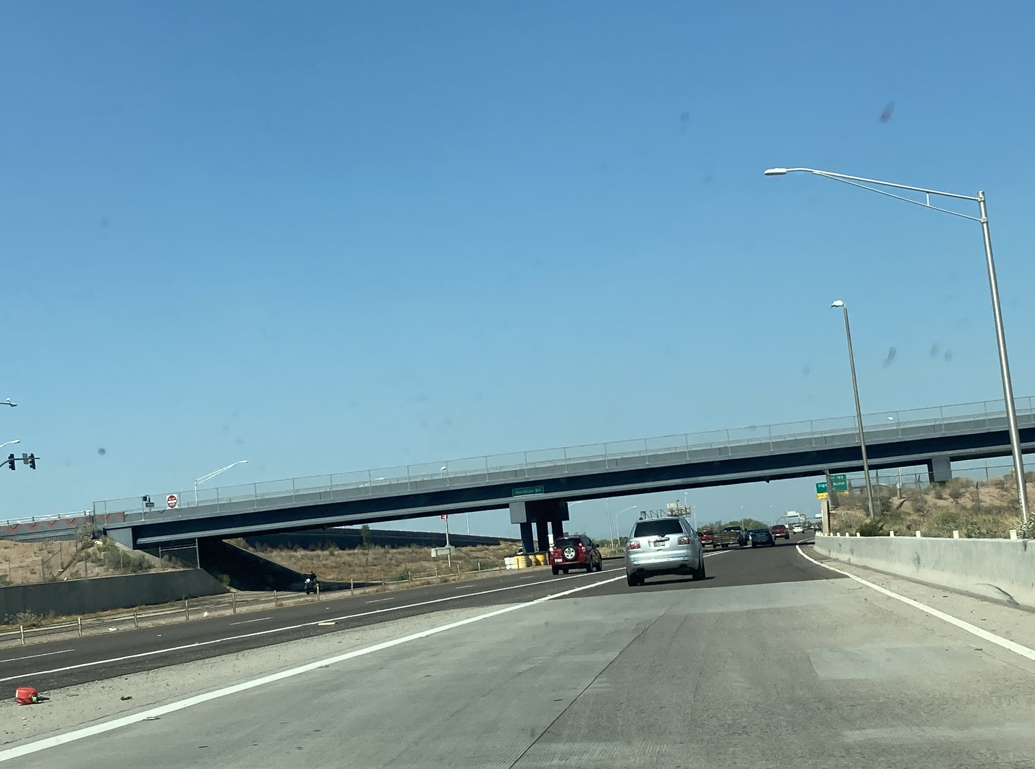
8/7/2021 - US 60 West @ Meridian Ave - Apache Junction
10/19/2021 - US 60 East, east of Mill Ave - Tempe
12/24/2021 - US 60 East, east of 24th St - Mesa
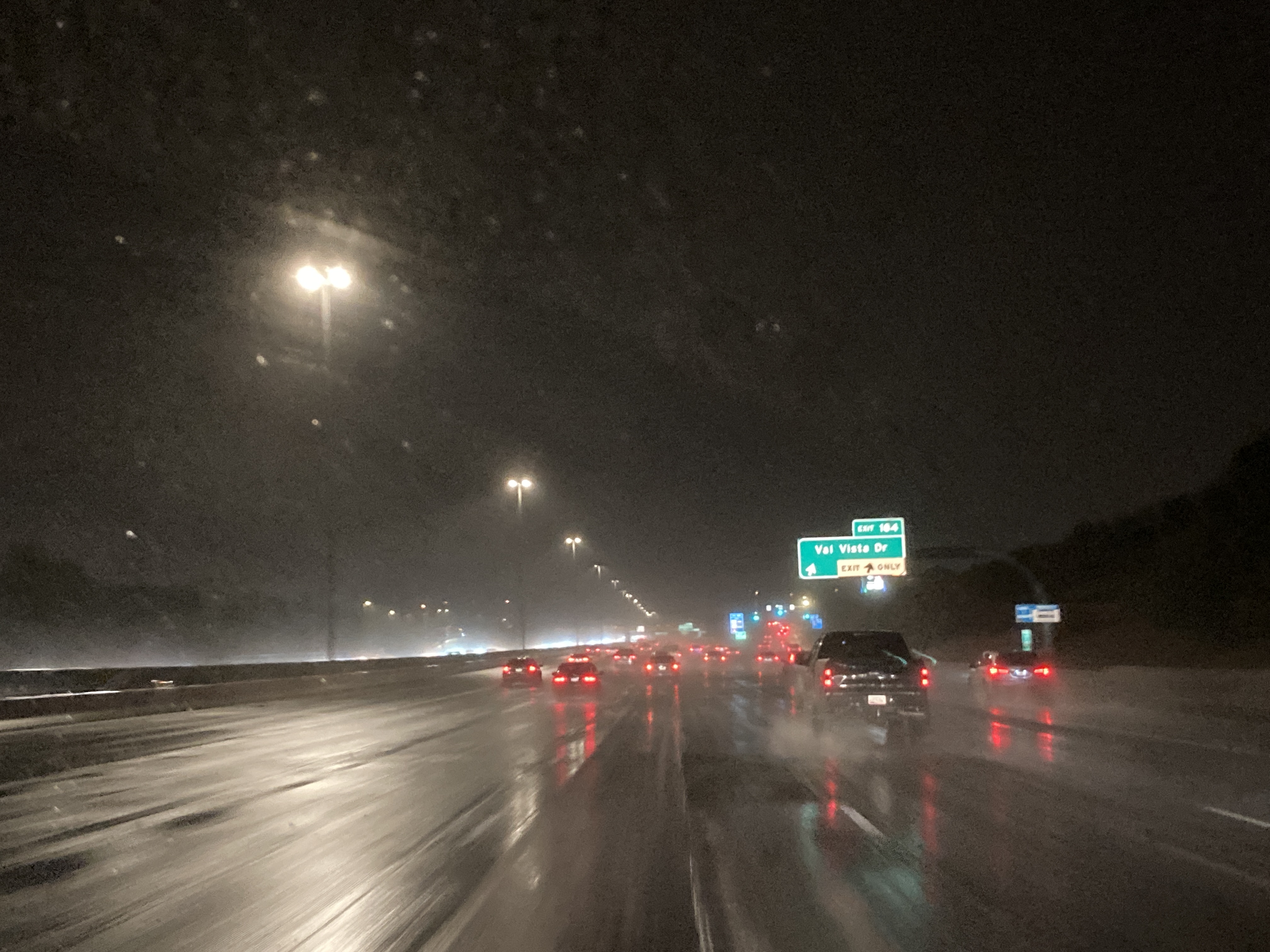
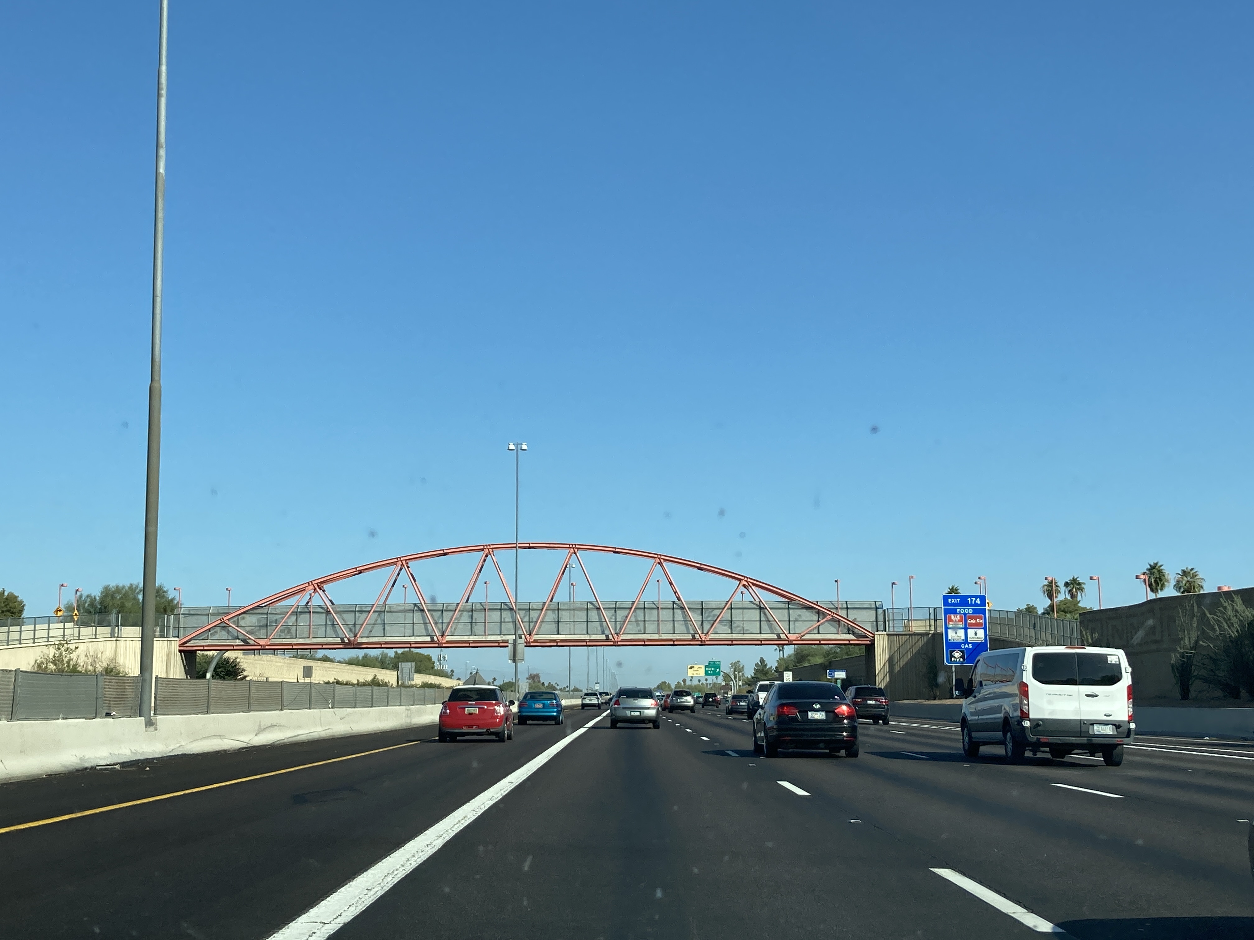
12/24/2021 - US 60 East @ Val Vista Dr exit - Mesa
1/3/2022 - US 60 West @ Dobson Rd - Mesa
1/15/2022 - US 60 East, east of SR 87 (Country Club Dr) - Mesa
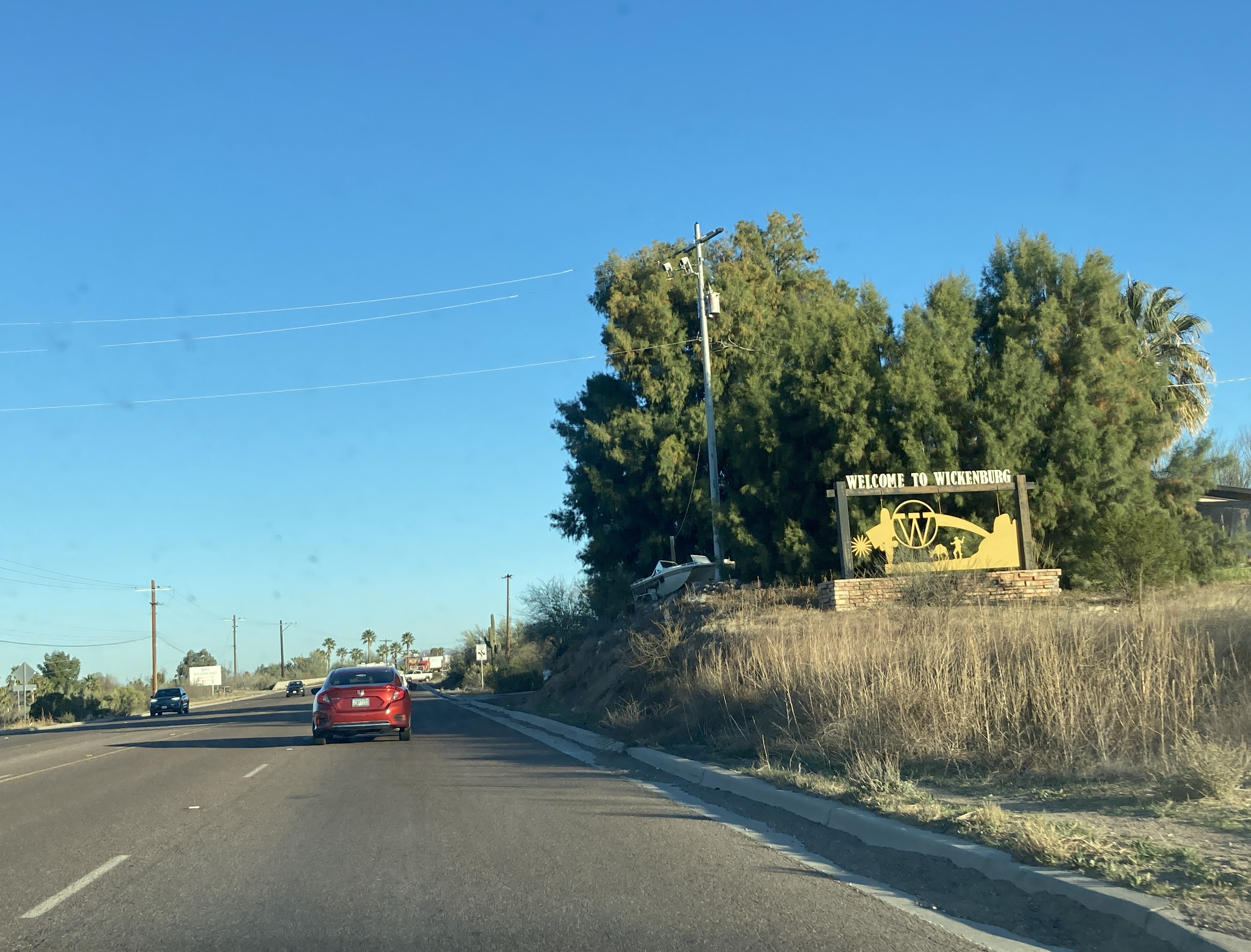
3/6/2022 - US 60 West, entering Wickenburg
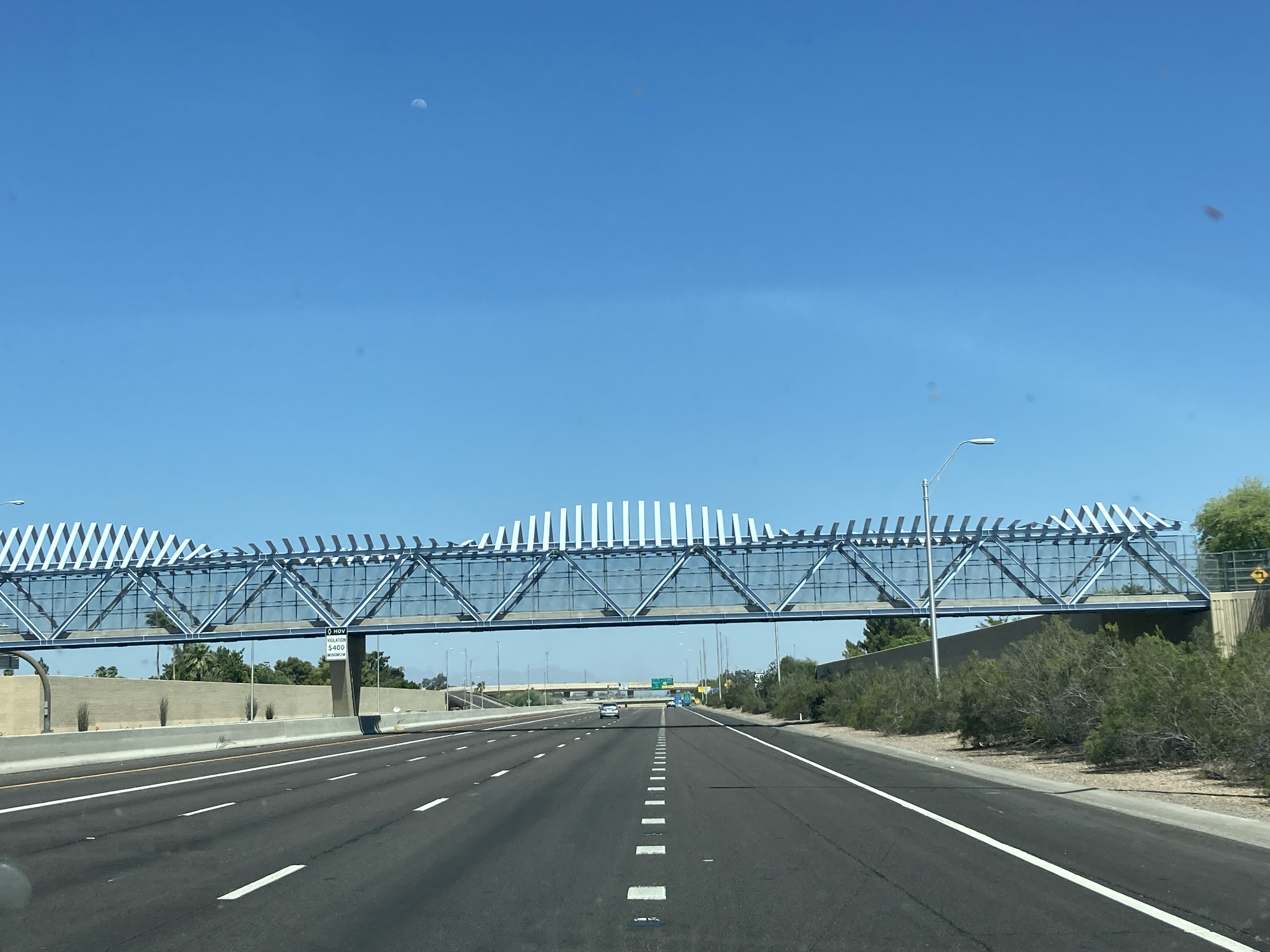
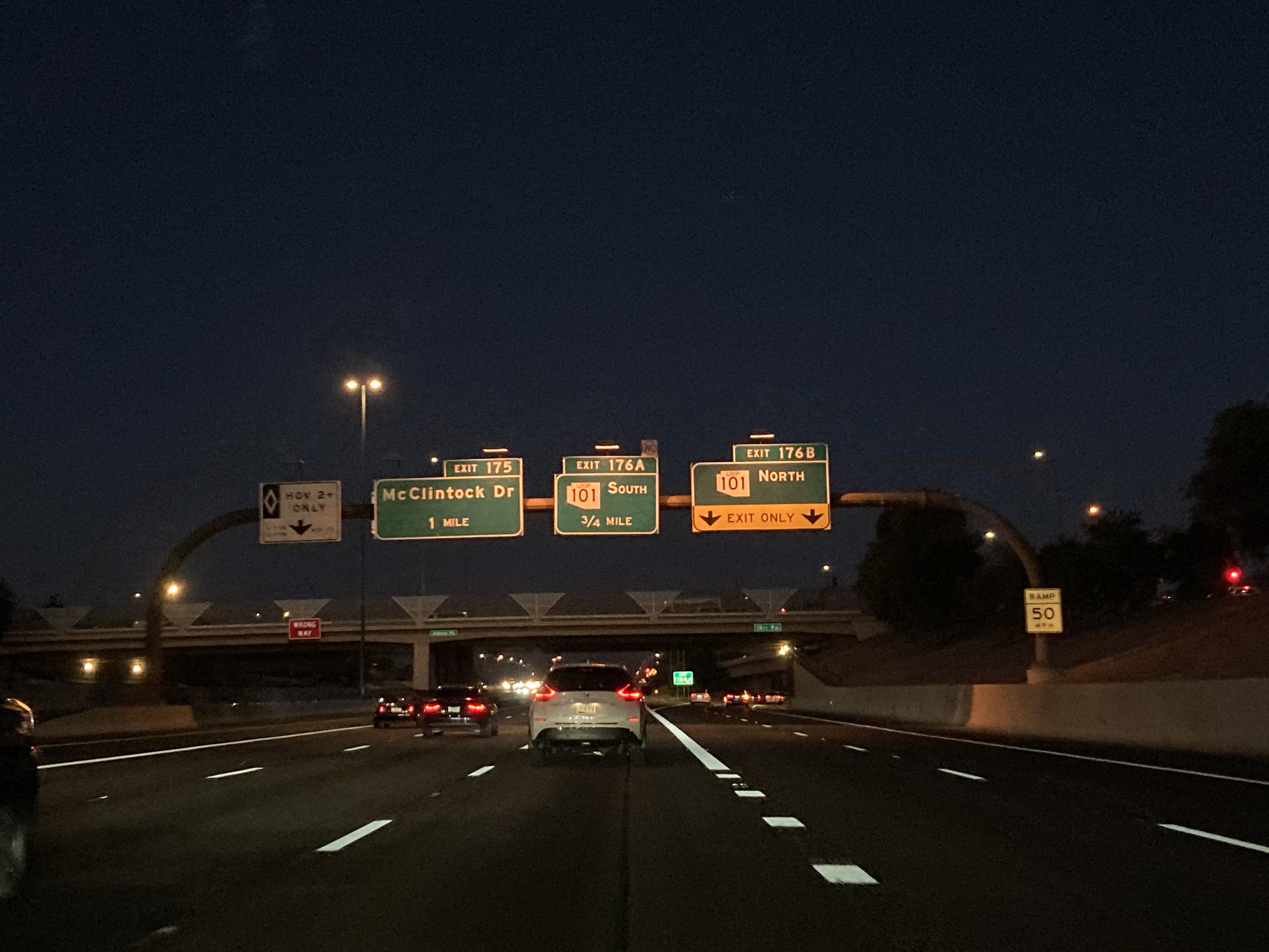
5/9/2022 - US 60 East, east of McClintock Dr - Tempe
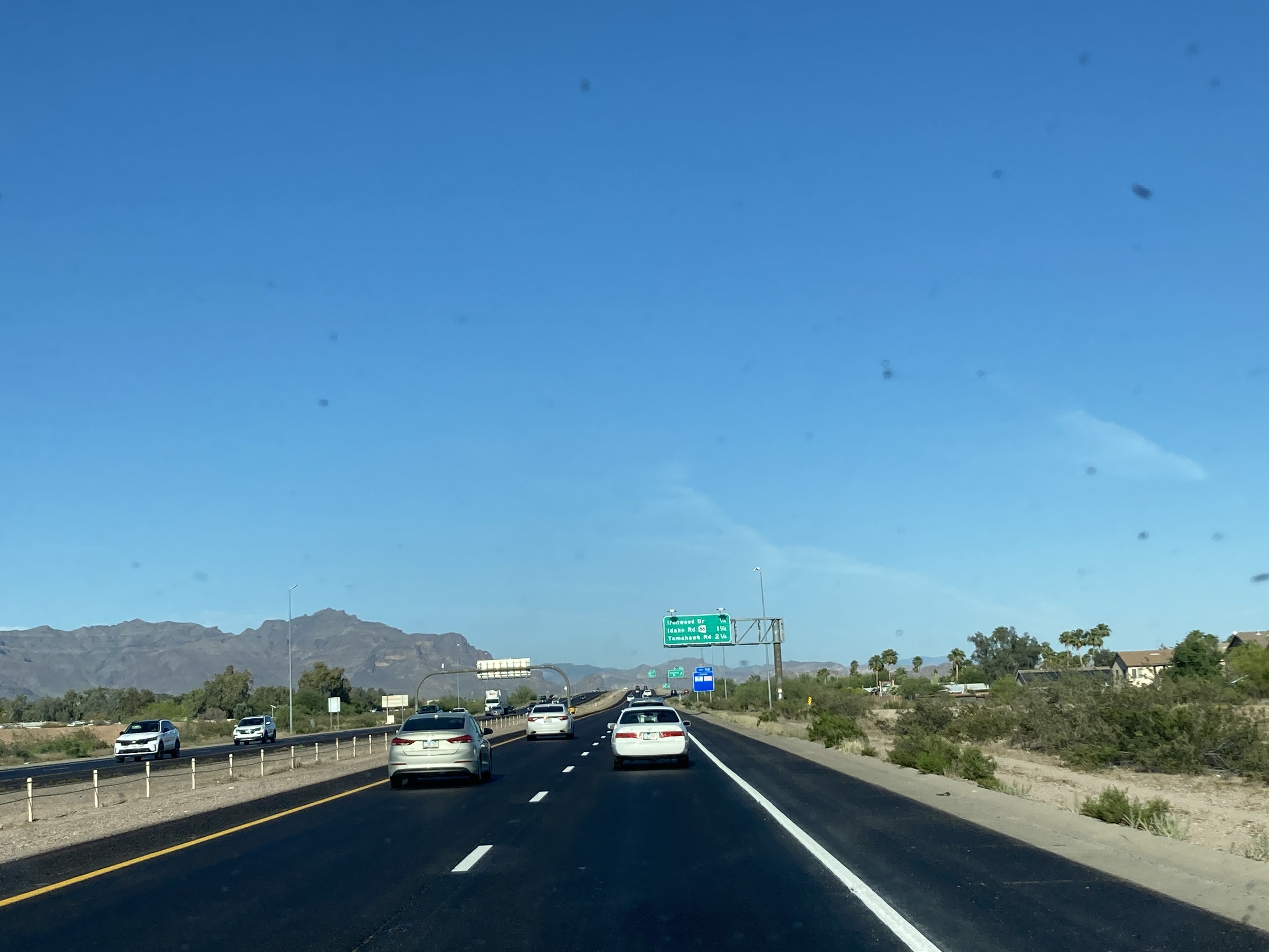
5/15/2022 - US 60 East, east of Meridian Rd - Apache Junction
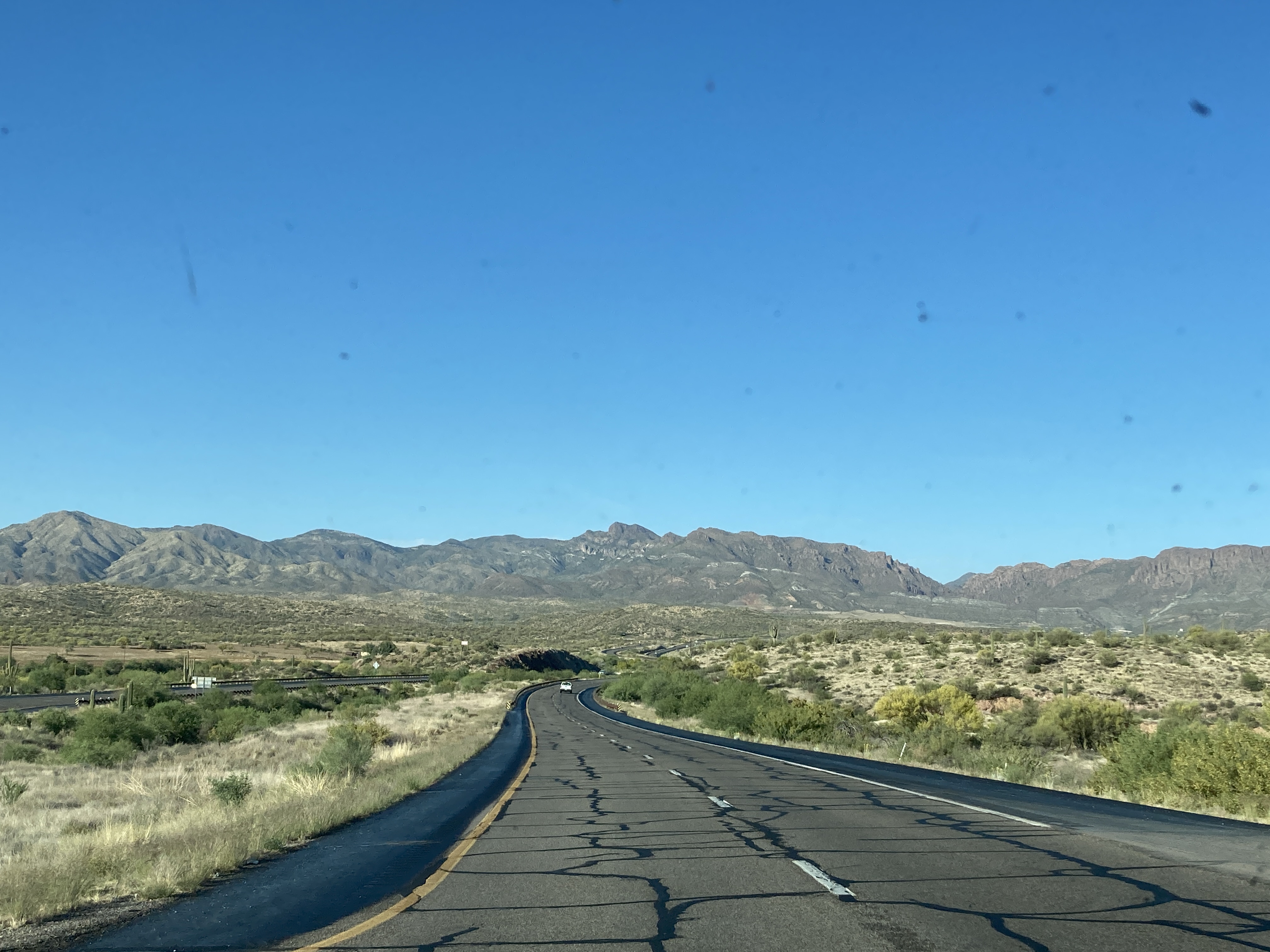
5/15/2022 - US 60 East @ Uno Trail, west of Superior
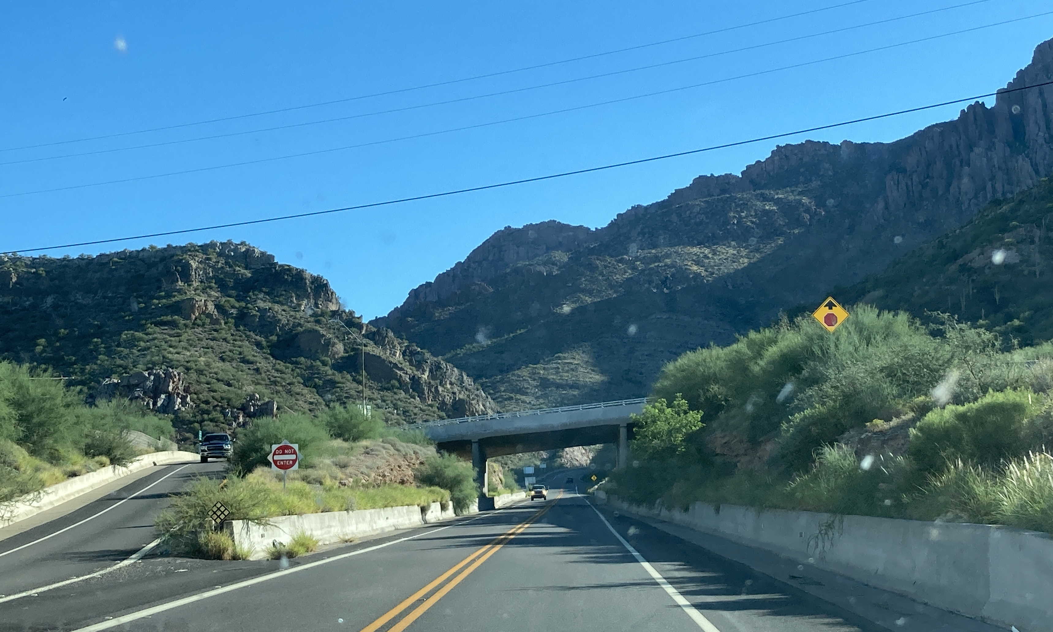
10/6/2022 - US 60 East @ SR 177 - Superior
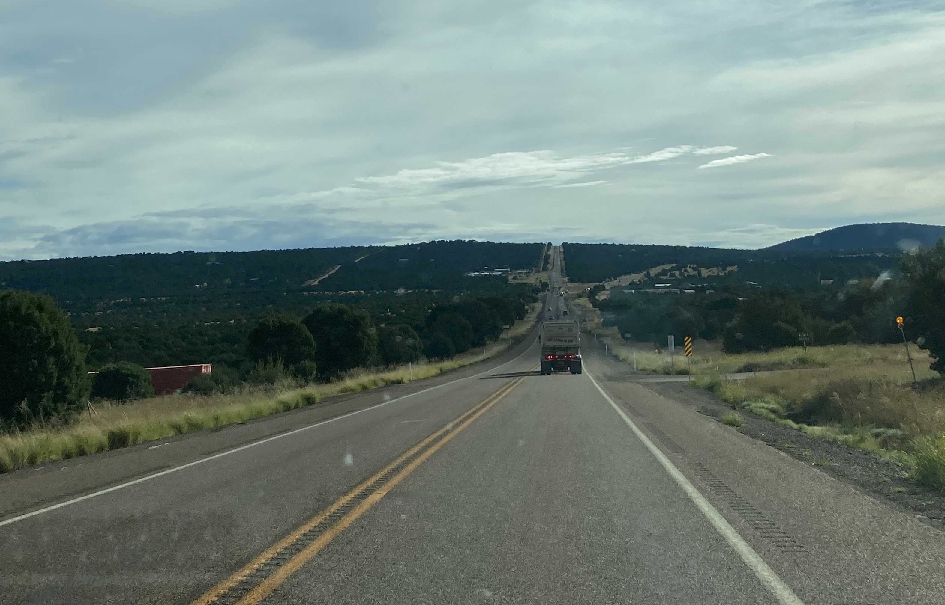
10/6/2022 - US 60 East near Mile 232, east of Superior
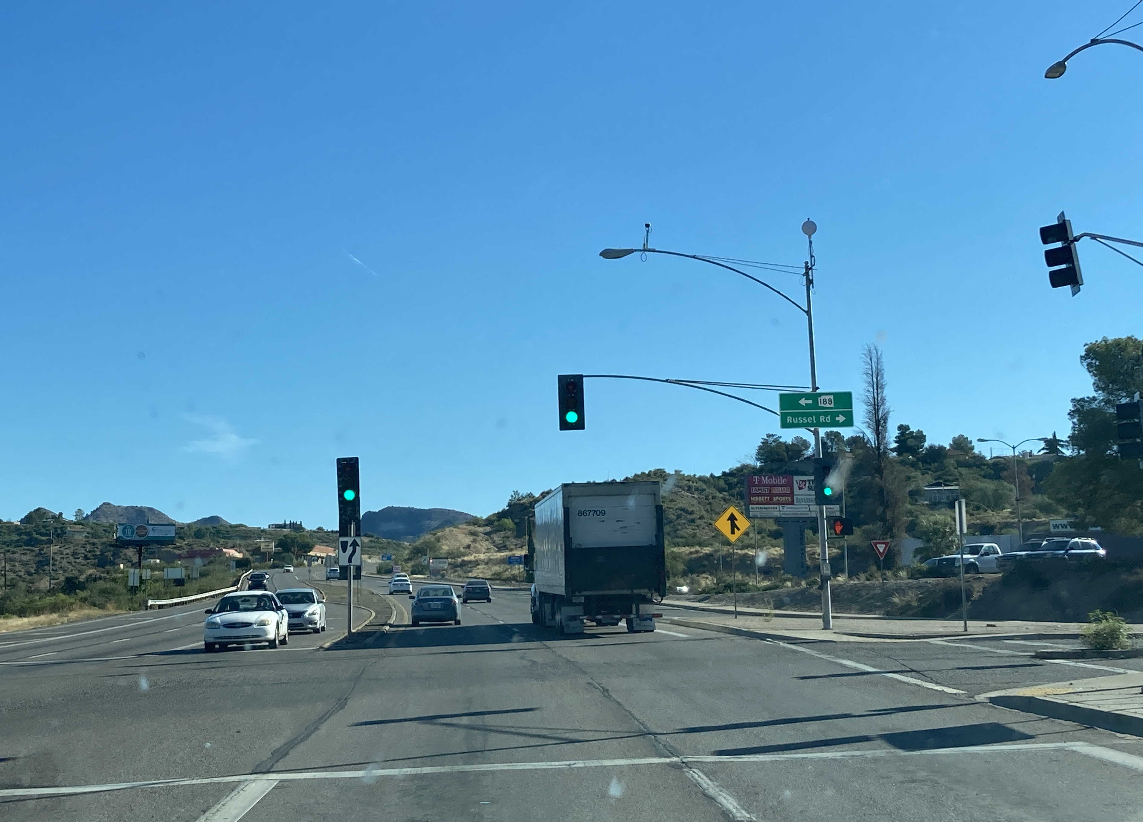
10/6/2022 - US 60 East @ SR 188 - Globe
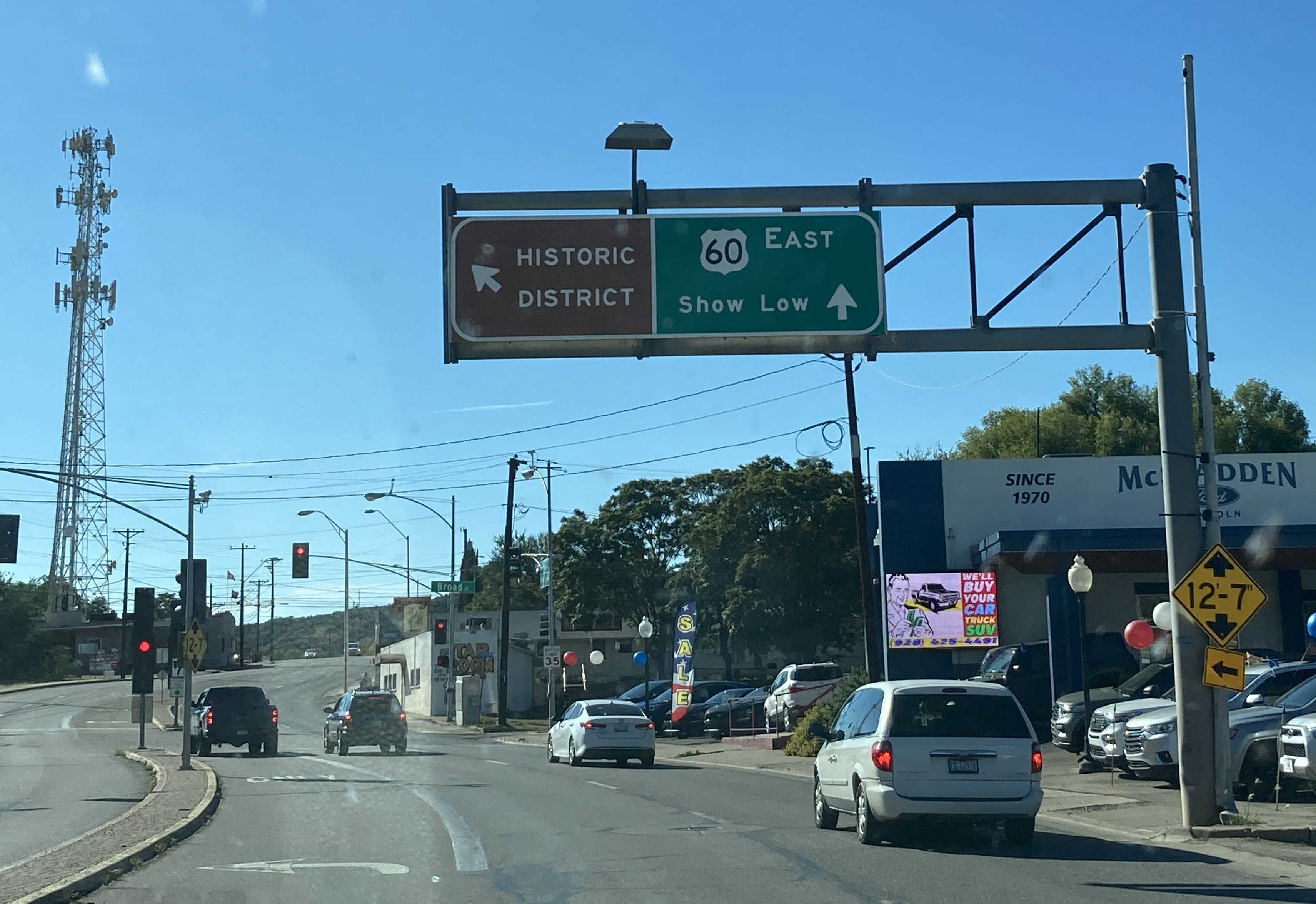
10/6/2022 - US 60 East @ Broad St - Globe
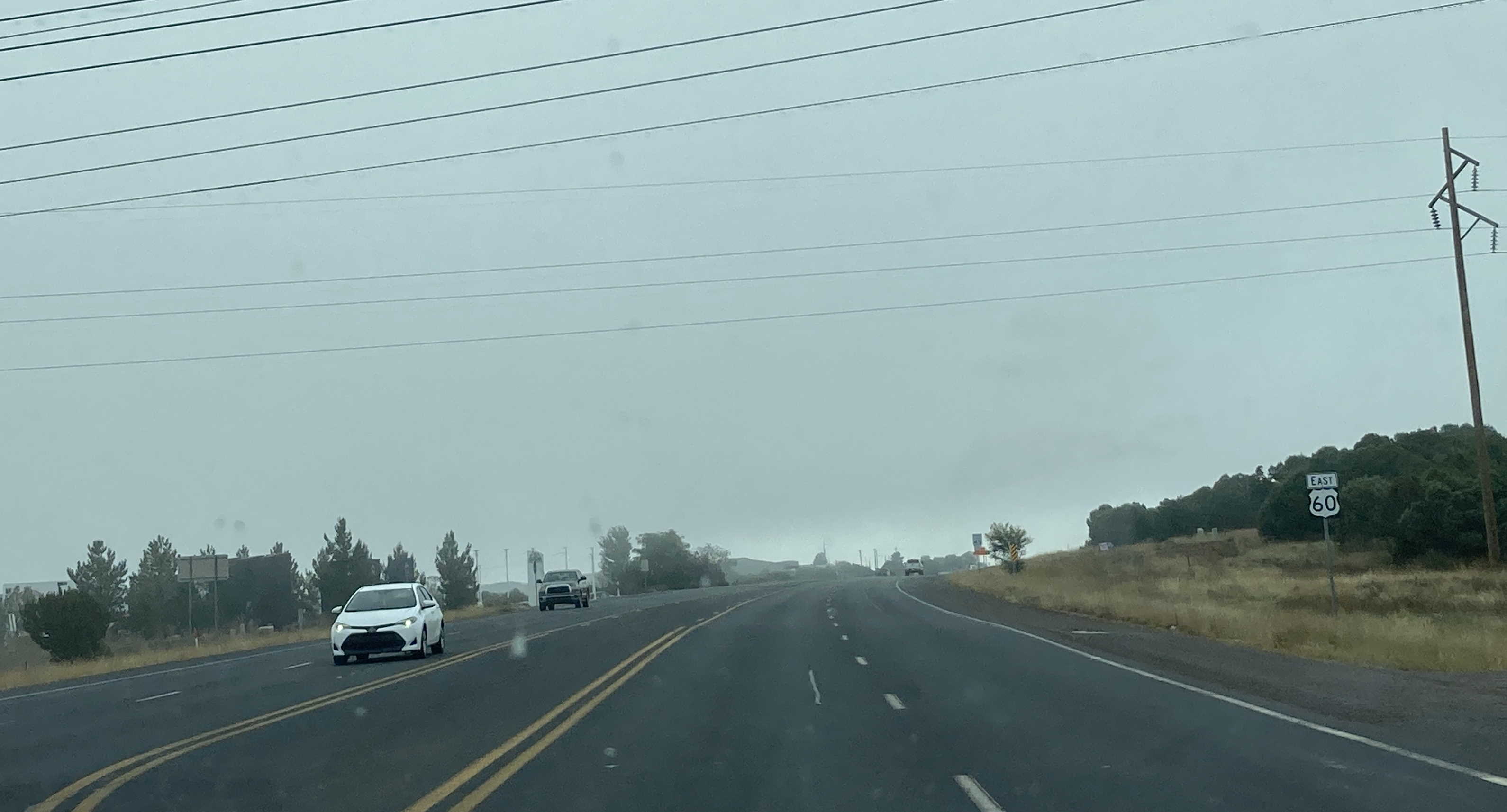
10/6/2022 - US 60 East, east of SR 77/Penrod Rd - Show Low
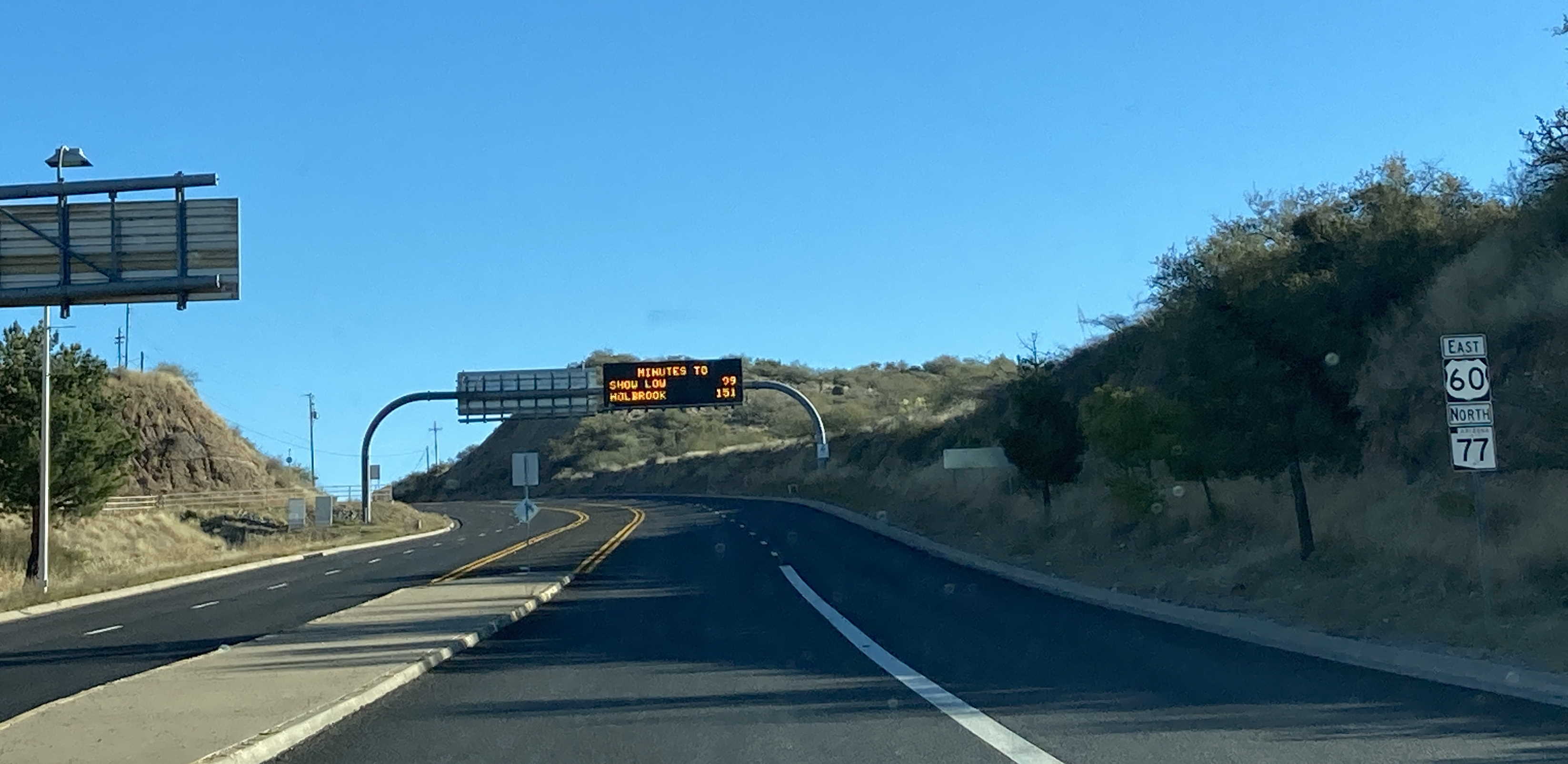
10/6/2022 - US 60 East, west of SR 61
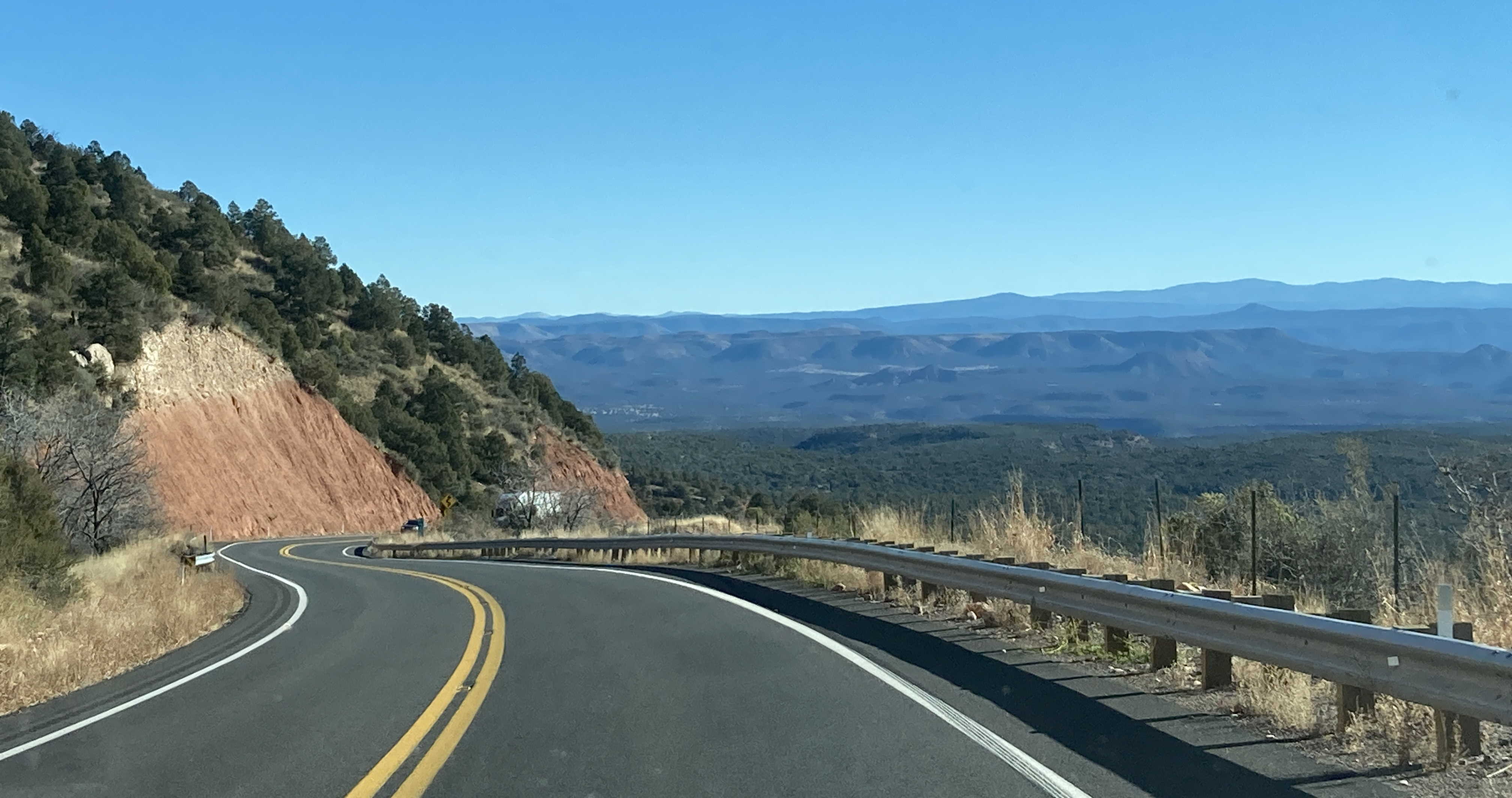
11/26/2022 - US 60 East/SR 77 North near Mile 309
12/29/2022 - US 60 West, west of Peacock Ln
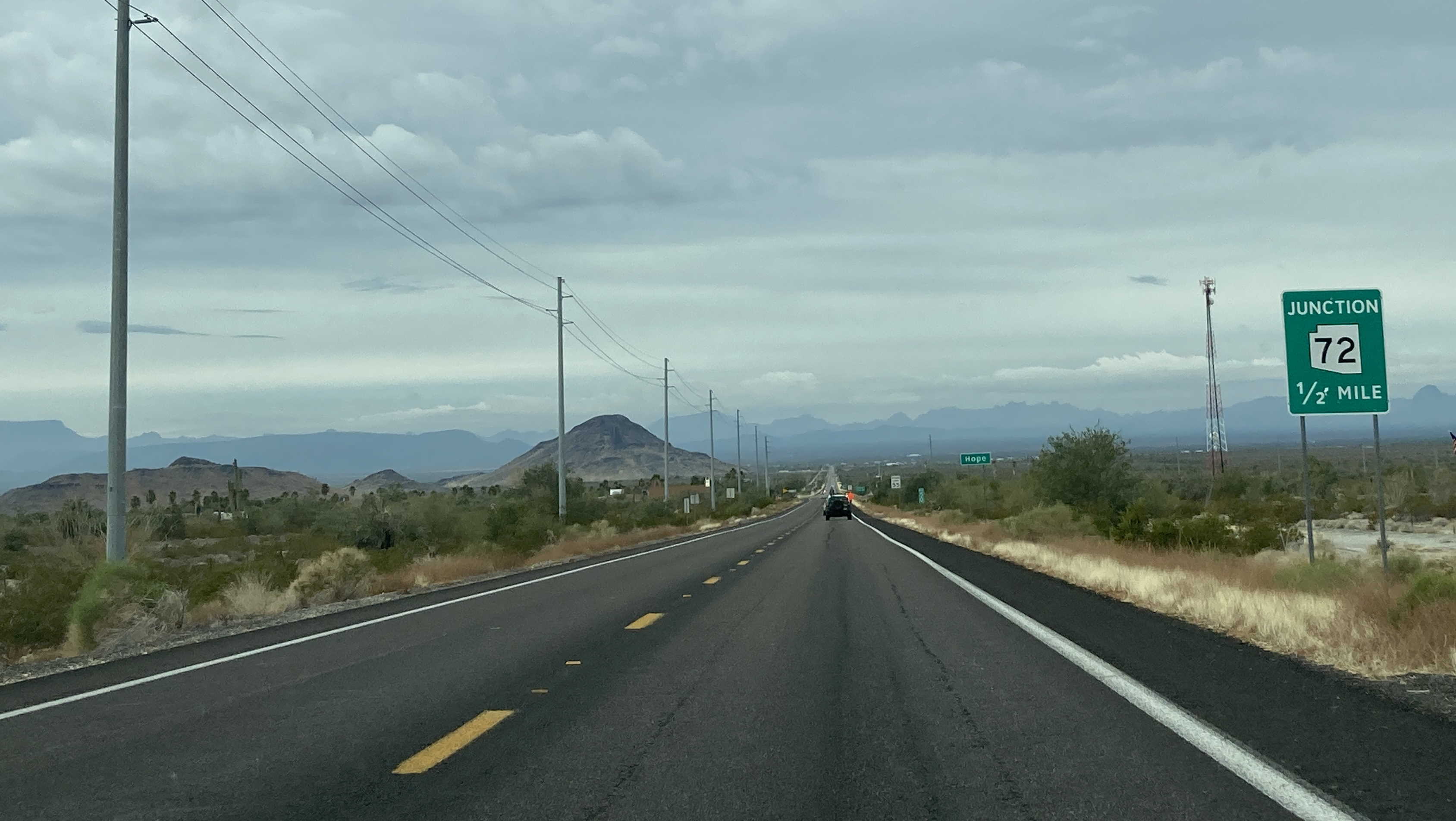
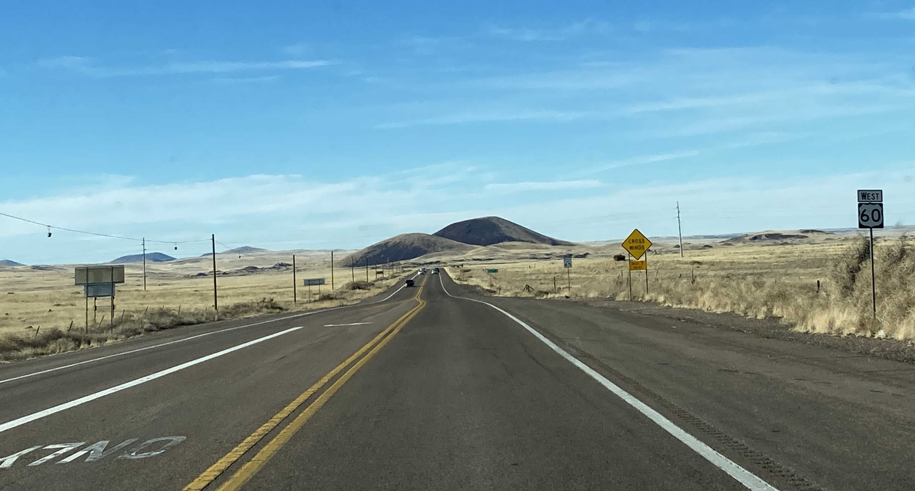
12/29/2022 - US 60 West approaching SR 72 - Hope
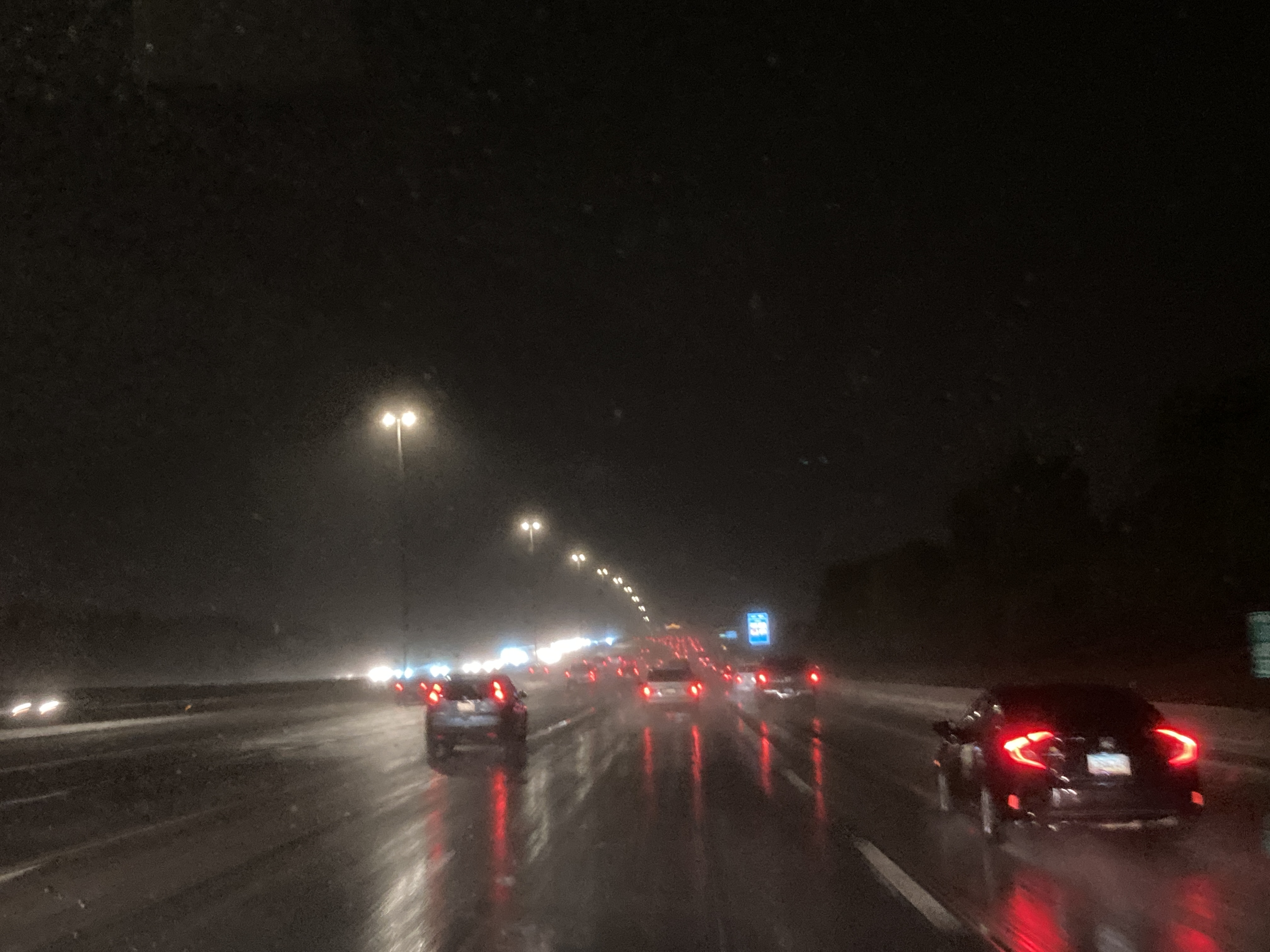
8/9/2025 - US 60 East, east of Emerald Ln
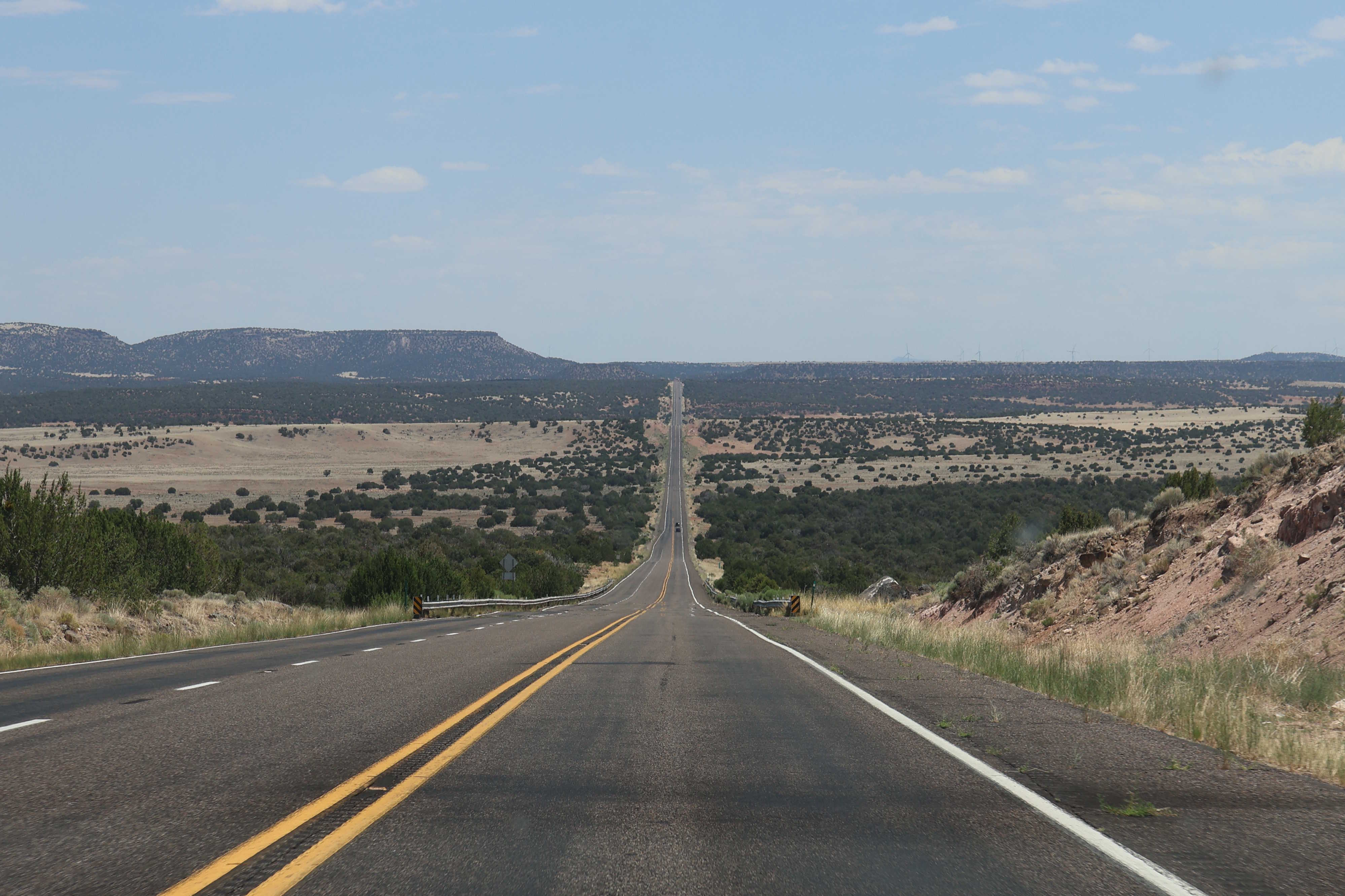
8/9/2025 - US 60 East near Mile 395
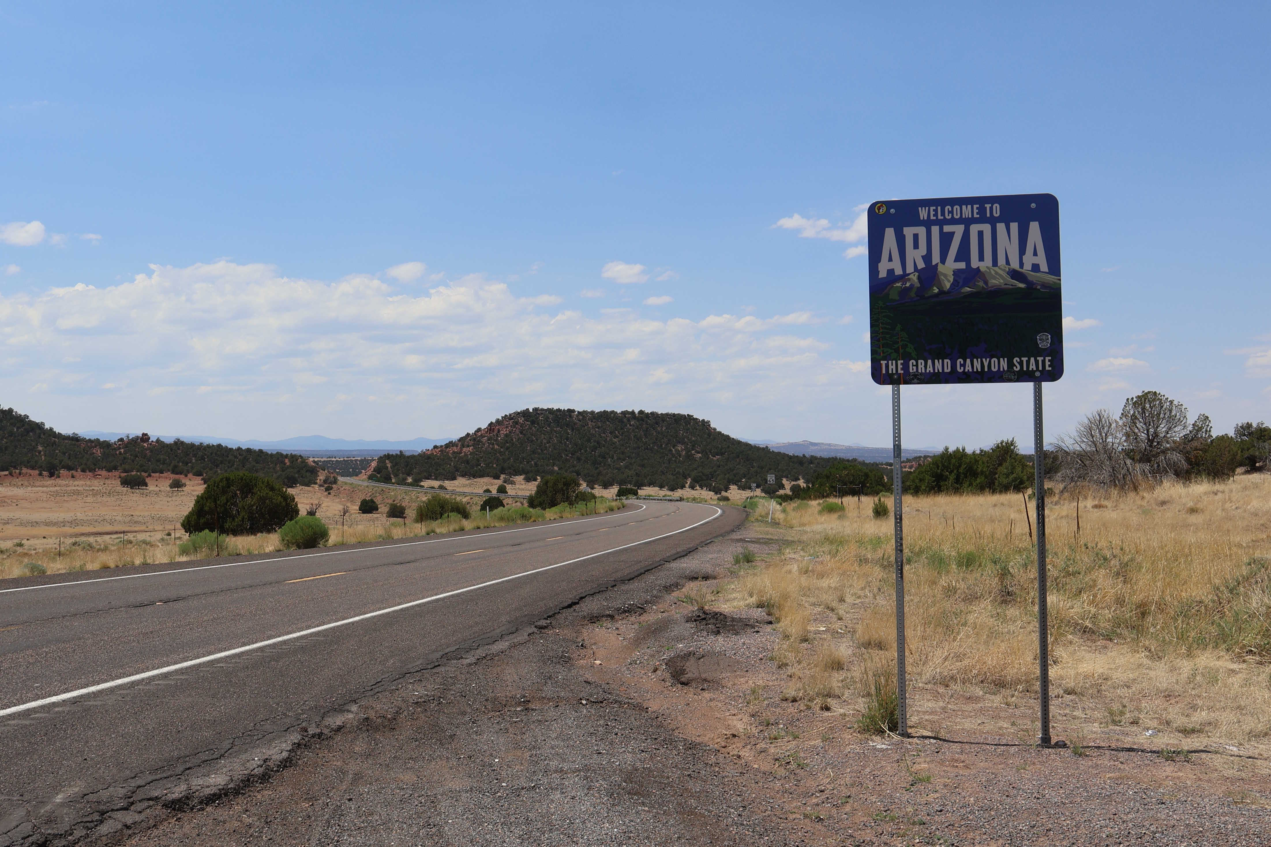
8/9/2025 - US 60 West entering Arizona from New Mexico
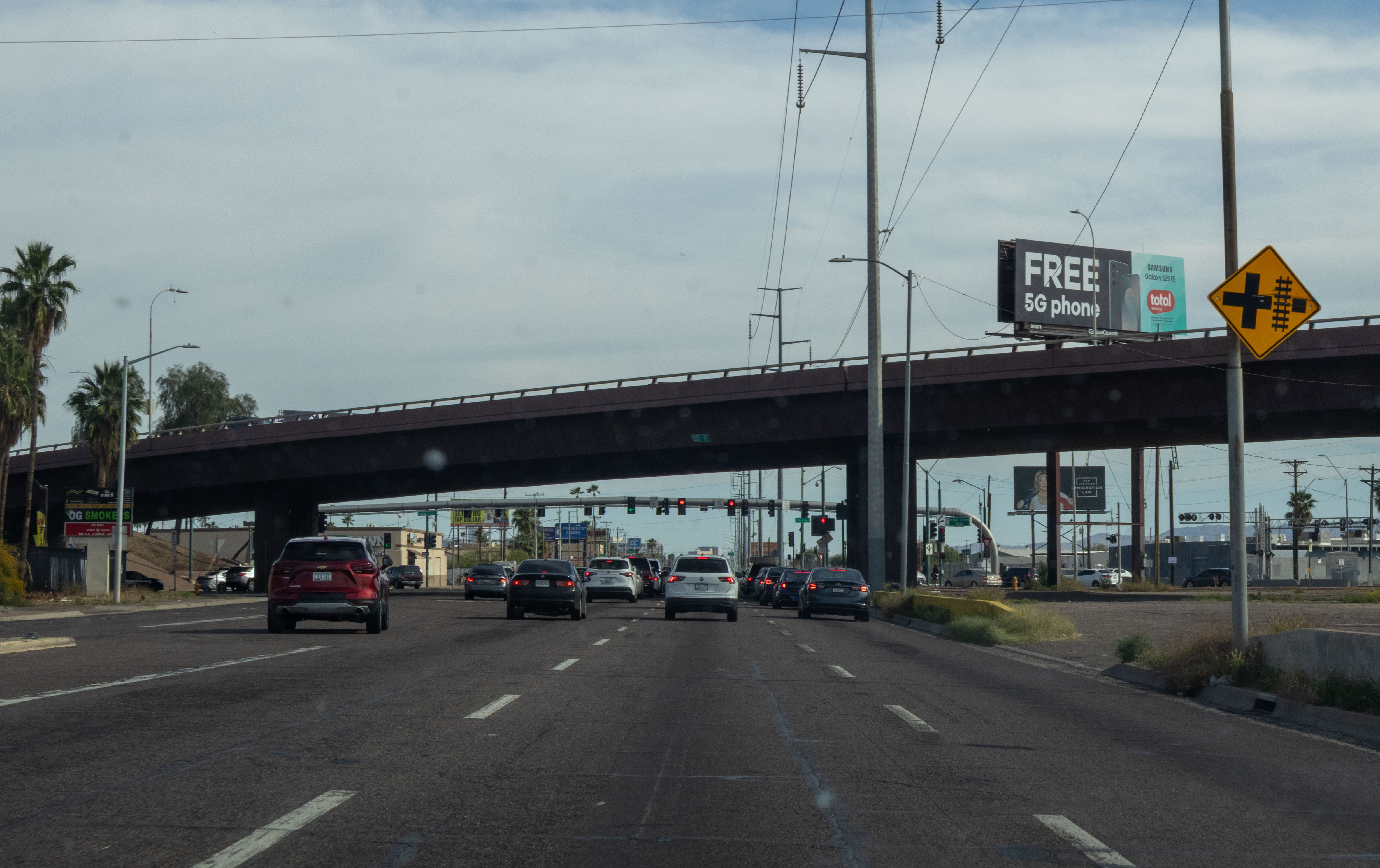
3/1/2026 - US 60 East (Grand Ave) @ Indian School Rd/35th Ave - Phoenix
Videos
7/14/2023 - US 60 East from I-10 to Mountain View Rd
7/29/2024 - US 60X, full route east and west
Significant Intersection/Exit List
| Exit/ Mile | Eastbound Exits Read down | Westbound Exits Read up | |
|---|---|---|---|
| 31 | JCT | ||
| 49 | Parker | ||
| 74 | ENTERING Maricopa County | ENTERING La Paz County | |
| 86 | Prescott | ||
| 110 | Kingman Las Vegas | ||
| 120 | |||
| 138 | JCT | ||
| 142 | Bell Road | Bell Road | |
| LEFT EXIT | LEFT EXIT | ||
| 148 | |||
| 149 | |||
| 157 | 43rd Ave Camelback Rd | 43rd Ave Camelback Rd | |
| 160 | 27th Ave TO Thomas Rd | 27th Ave TO Thomas Rd | |
| JCT | |||
| 171 | ◊ HOV EXIT Phoenix | ||
| |||
| 172B | Broadway Rd 40th St | ||
| 172A | Priest Dr | ||
| 173 | Mill Ave Arizona State University - Tempe | Mill Ave Arizona State University - Tempe | |
| 174 | Rural Rd | Rural Rd | |
| 175 | McClintock Dr | McClintock Dr | |
| 176A | |||
| 176B | |||
| 177 | Dobson Rd Mesa Comm College | Dobson Rd Mesa Comm College | |
| 178 | Alma School Rd | Alma School Rd | |
| 179 | Country Club Dr Chandler Downtown Mesa Community Center | Country Club Dr Chandler Downtown Mesa Community Center | |
| 180 | Mesa Dr Maricopa CO SE Complex | Mesa Dr Maricopa CO SE Complex | |
| 181 | Stapley Dr | Stapley Dr | |
| 182 | Gilbert Rd Gilbert | Gilbert Rd Gilbert | |
| 184 | Val Vista Dr | Val Vista Dr | |
| 185 | Greenfield Rd | Greenfield Rd | |
| Gilbert Riparian Preserve | Gilbert Riparian Preserve | ||
| 186 | Higley Rd A T Still University | Higley Rd | |
| 187 | Superstition Springs Blvd | ||
| 188 | Power Rd | Power Rd A T Still University | |
| 189 | Sossaman Rd | ||
| 190A | |||
| 190B | |||
| 191 | Ellsworth Rd Queen Creek | Ellsworth Rd Queen Creek | |
| 192 | Crismon Rd | Crismon Rd | |
| 193 | Signal Butte Rd | Signal Butte Rd | |
| 194 | Meridian Rd | ENTERING Maricopa County | |
| ENTERING Pinal County | |||
| 195 | Ironwood Dr | Ironwood Dr | |
| 196 | Idaho Rd | Idaho Rd | |
| Lost Dutchman State Park Canyon Lake | Lost Dutchman State Park Canyon Lake | ||
| 197 | Tomahawk Rd | Tomahawk Rd | |
| 198 | Goldfield Rd | Goldfield Rd | |
| 199 | FREEWAY ENDS | Old West Hwy | |
| 212 | Florence | Florence | |
| 227 | Kearny Winkelman | Kearny Winkelman | |
| 236 | ENTERING Gila County | ENTERING Pinal County | |
| 247 | Roosevelt | ||
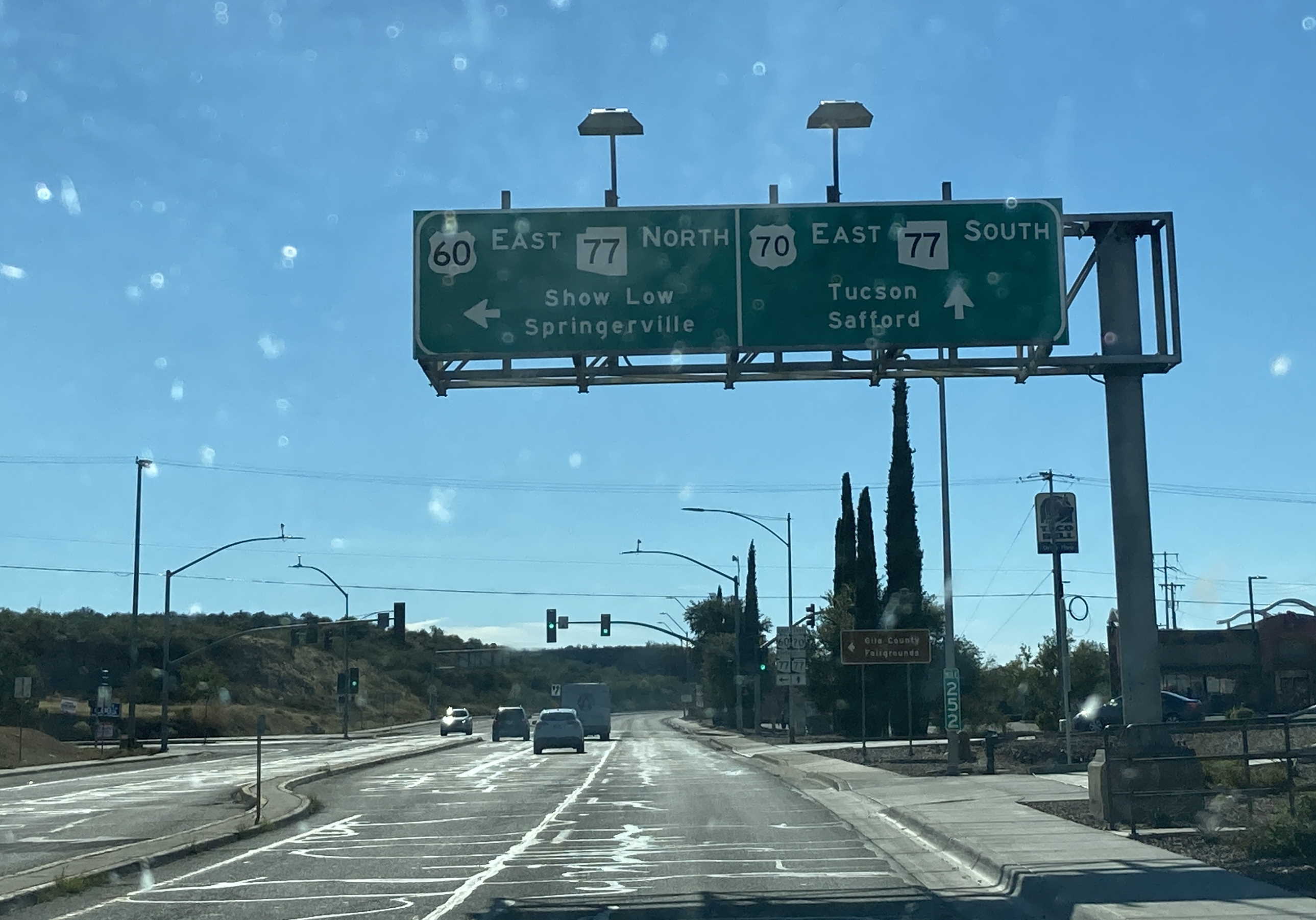
| 252 | JCT Show Low Springerville Tucson Safford | ||
| 316 | ENTERING Navajo County | ENTERING Gila County | |
| 318 | Fort Apache White River | ||
| Fort Apache Natl Historic Park | |||
| 340 | Overgaard | ||
| Fool Hollow Lake Recreation Area | |||
| 341 | Pinetop-Lakeside | ||
| 342 | Holbrook | ||
| 352 | ENTERING Apache County | ENTERING Navajo County | |
| 353 | St Johns | ||
| 384 | St Johns | ||
| Lyman Lake State Park | |||
| 388 | Alpine | ||
| 401 | New Mexico State Line | ||
Page last updated: 3/8/2026